Elevation of Deering, ND, USA
Location: United States > North Dakota > Mchenry County >
Longitude: -101.05182
Latitude: 48.3955721
Elevation: 473m / 1552feet
Barometric Pressure: 96KPa
Elevation Map:
Satellite Map:
Related Photos:

Desai vashis
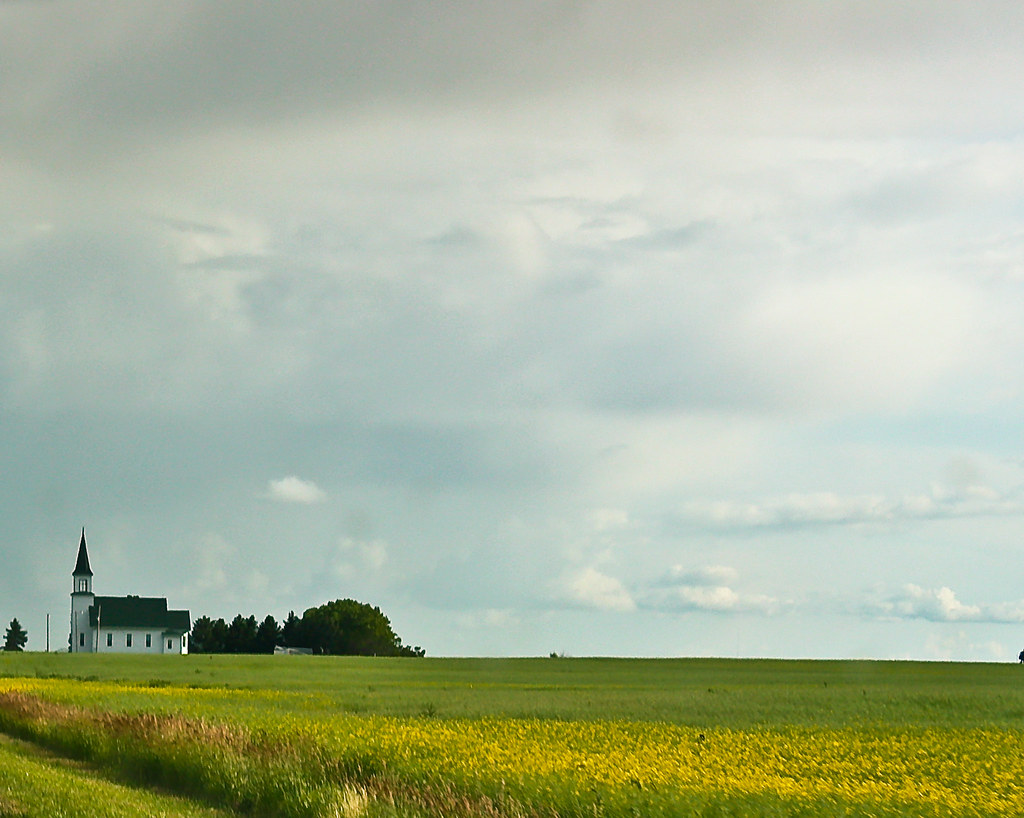
Little Church on the Prairie
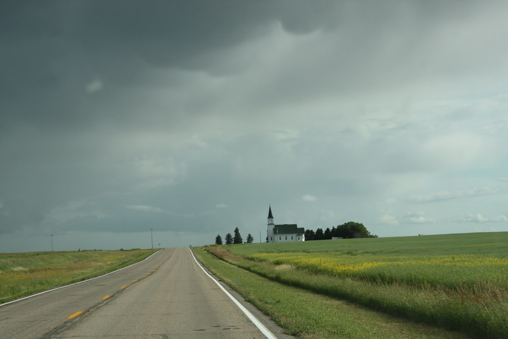
Lone prairie church
Topographic Map of Deering, ND, USA
Find elevation by address:

Places near Deering, ND, USA:
71st Street North
Surrey
3rd Ave SW, Surrey, ND, USA
Nedrose
N 5th Ave, Glenburn, ND, USA
Saline
Glenburn
3000 Us-52
5126-5122
Sawyer
Meadow
Mchenry County
5 1st St E, Velva, ND, USA
Velva
28 Heritage Dr
Upham
Voltaire
Bottineau County
Towner
Main St, Bottineau, ND, USA
Recent Searches:
- Elevation of 7 Waterfall Way, Tomball, TX, USA
- Elevation of SW 57th Ave, Portland, OR, USA
- Elevation of Crocker Dr, Vacaville, CA, USA
- Elevation of Pu Ngaol Community Meeting Hall, HWHM+3X7, Krong Saen Monourom, Cambodia
- Elevation of Royal Ontario Museum, Queens Park, Toronto, ON M5S 2C6, Canada
- Elevation of Groblershoop, South Africa
- Elevation of Power Generation Enterprises | Industrial Diesel Generators, Oak Ave, Canyon Country, CA, USA
- Elevation of Chesaw Rd, Oroville, WA, USA
- Elevation of N, Mt Pleasant, UT, USA
- Elevation of 6 Rue Jules Ferry, Beausoleil, France