Elevation of Voltaire, ND, USA
Location: United States > North Dakota > Mchenry County >
Longitude: -100.84153
Latitude: 48.0205632
Elevation: 485m / 1591feet
Barometric Pressure: 96KPa
Elevation Map:
Satellite Map:
Related Photos:

Schatz Livestock
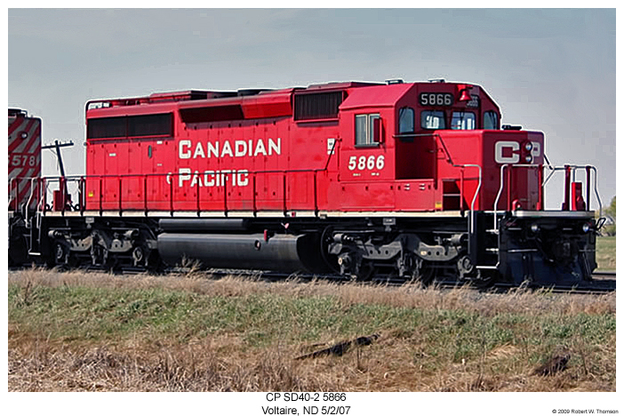
CP SD40-2 5866
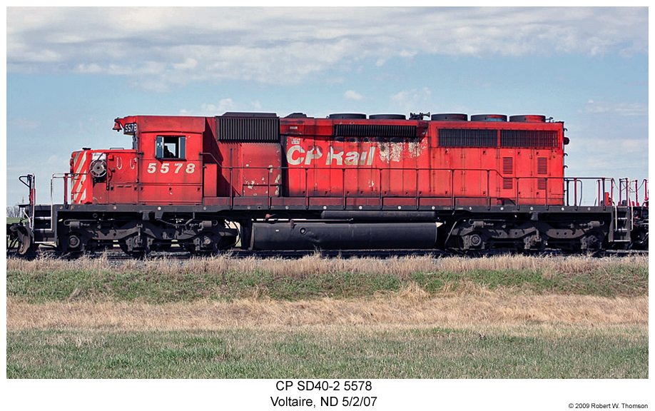
CP SD40-2 5578
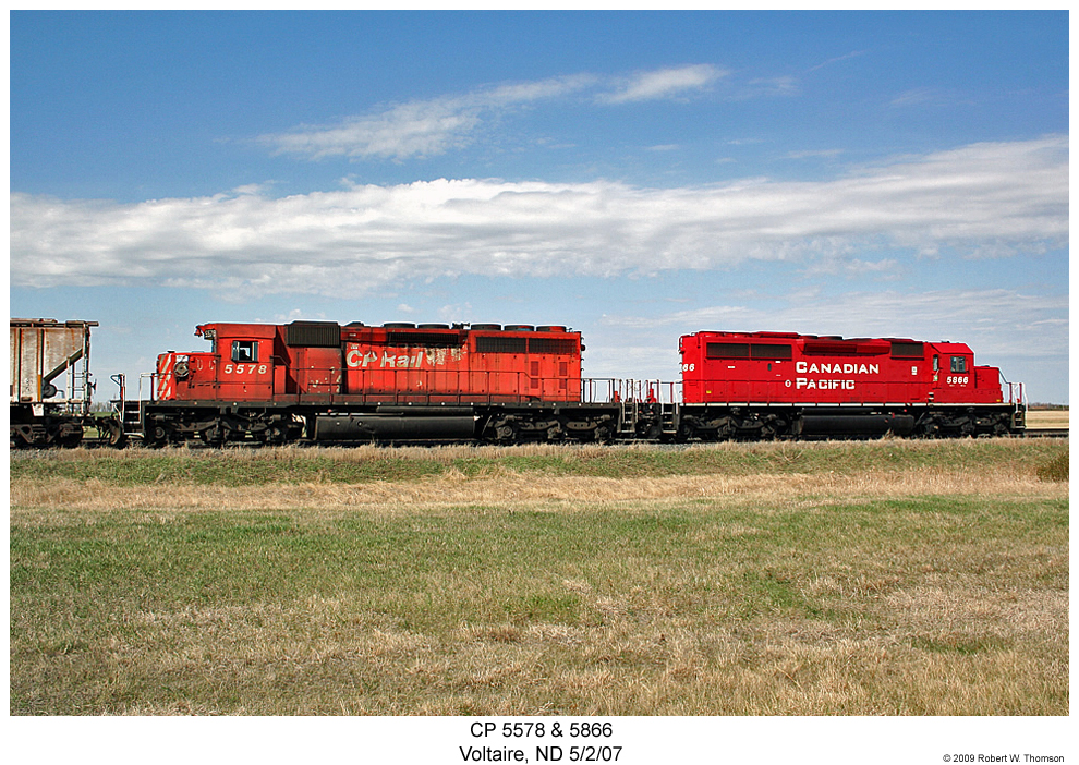
CP SD40-2s 5578 & 5866

Thea (egentiligen från Laholm)

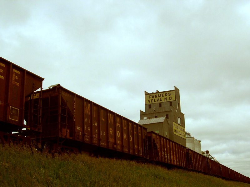
ex-Conoco_VelvaND1
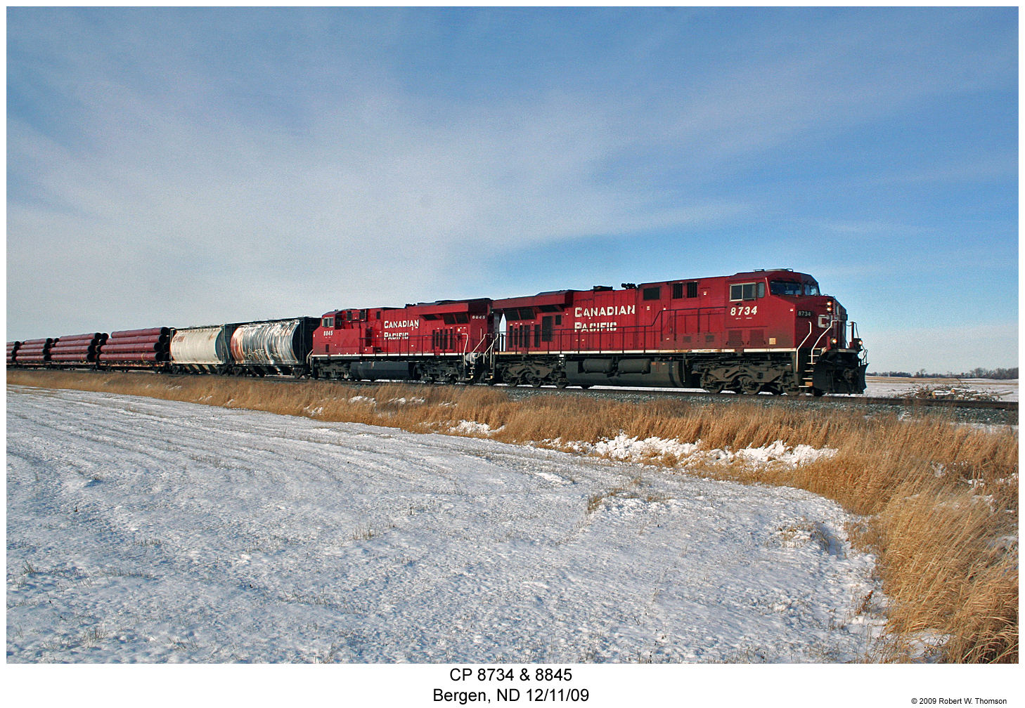
CP 8734 & 8845
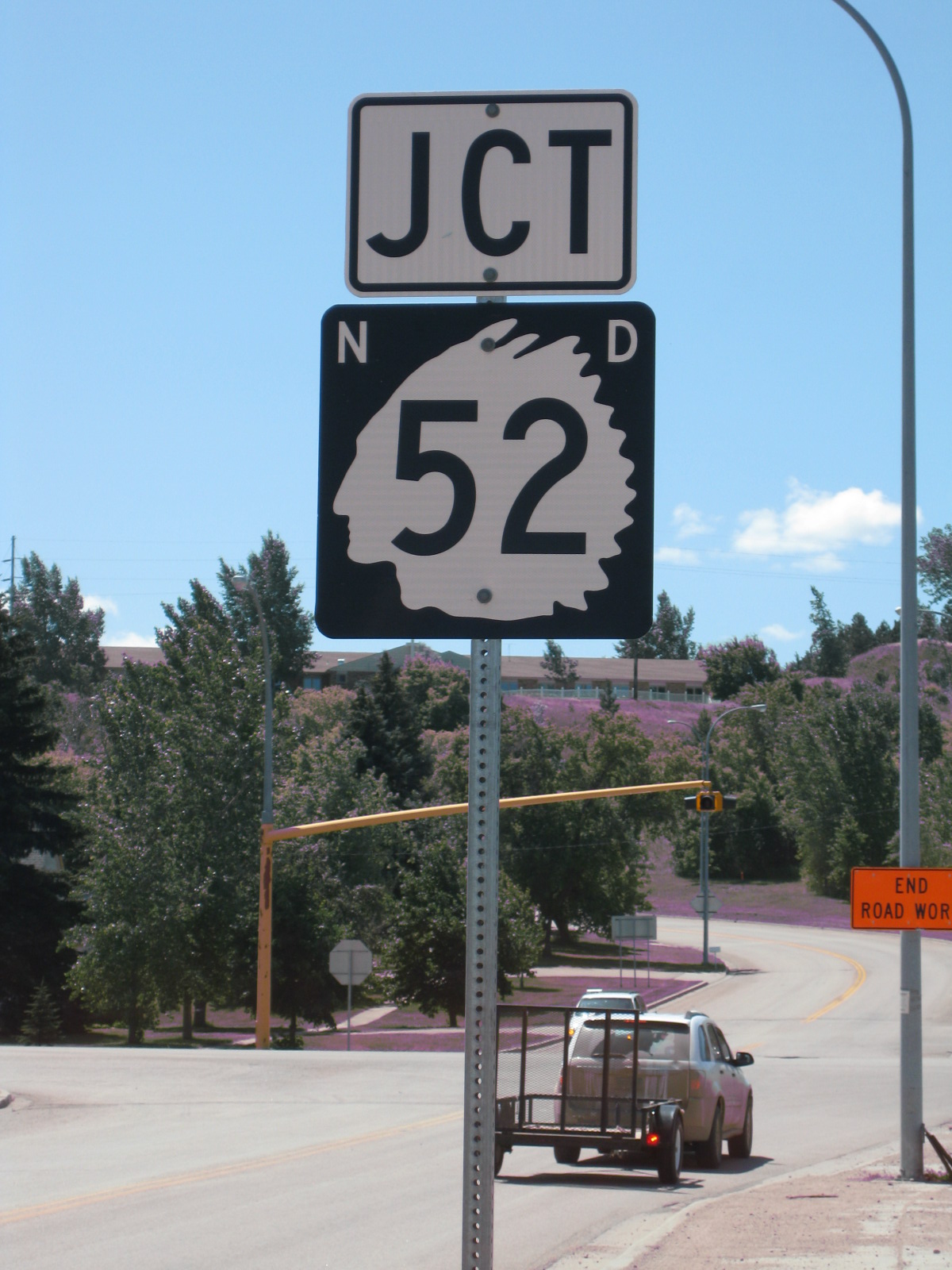
North Dakota 52?

1960 Bel Air
David Thompson State Historic Site - McHenry County, ND
Velva, ND

Knight's Drugs & Jewelry
Topographic Map of Voltaire, ND, USA
Find elevation by address:

Places near Voltaire, ND, USA:
5 1st St E, Velva, ND, USA
Velva
28 Heritage Dr
5126-5122
Sawyer
Surrey
3rd Ave SW, Surrey, ND, USA
Mchenry County
Saline
Nedrose
71st Street North
Deering
3000 Us-52
Main St, Drake, ND, USA
Drake
Towner
Meadow
Upham
N 5th Ave, Glenburn, ND, USA
Glenburn
Recent Searches:
- Elevation of Corso Fratelli Cairoli, 35, Macerata MC, Italy
- Elevation of Tallevast Rd, Sarasota, FL, USA
- Elevation of 4th St E, Sonoma, CA, USA
- Elevation of Black Hollow Rd, Pennsdale, PA, USA
- Elevation of Oakland Ave, Williamsport, PA, USA
- Elevation of Pedrógão Grande, Portugal
- Elevation of Klee Dr, Martinsburg, WV, USA
- Elevation of Via Roma, Pieranica CR, Italy
- Elevation of Tavkvetili Mountain, Georgia
- Elevation of Hartfords Bluff Cir, Mt Pleasant, SC, USA