Elevation of Meadow, ND, USA
Location: United States > North Dakota > Mchenry County >
Longitude: -100.76646
Latitude: 48.5875999
Elevation: 437m / 1434feet
Barometric Pressure: 96KPa
Elevation Map:
Satellite Map:
Related Photos:

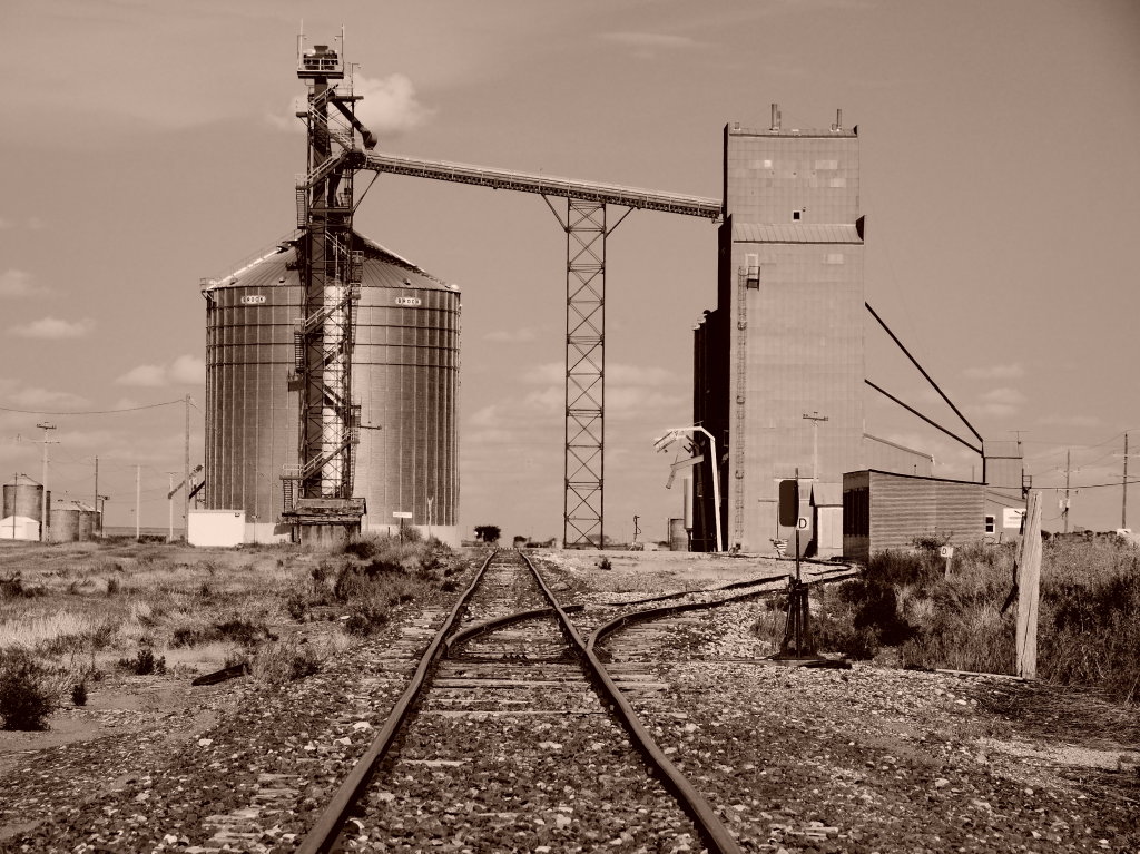
Rock Dam
Just wind noise ...
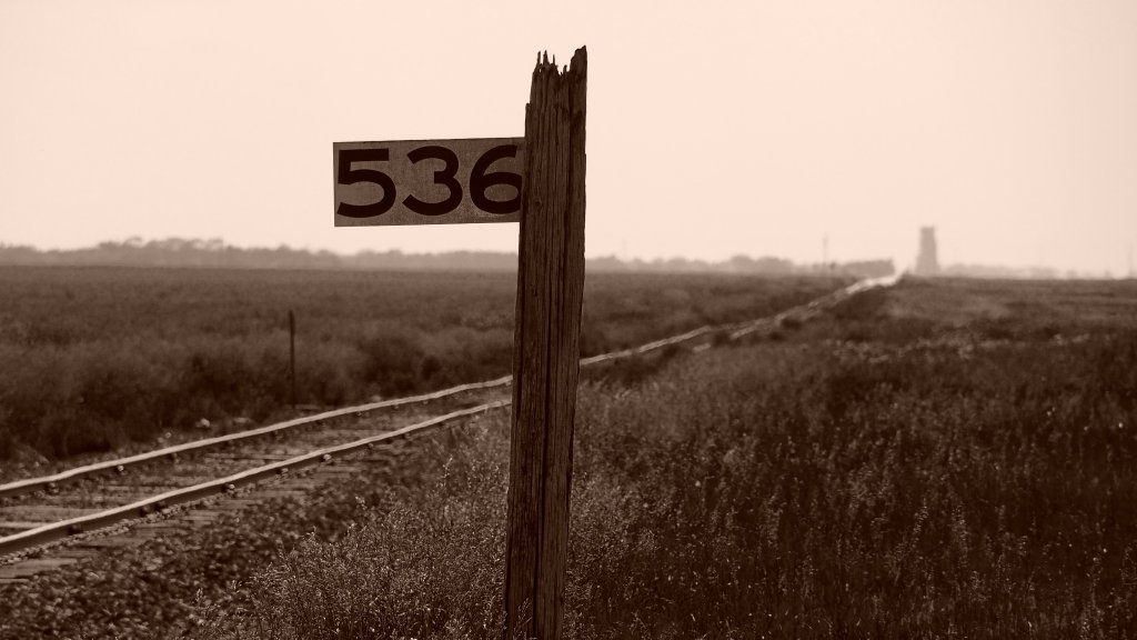
Battered Milepost on the Prairie

Dakota maid flour #livelovedocument

Going In For The Kill

Rock Dam HDR
Russell, ND
Topographic Map of Meadow, ND, USA
Find elevation by address:

Places in Meadow, ND, USA:
Places near Meadow, ND, USA:
Upham
Saline
71st Street North
Bottineau County
Mchenry County
Deering
Main St, Bottineau, ND, USA
Bottineau
621 Thompson St
Towner
5126-5122
N 5th Ave, Glenburn, ND, USA
Glenburn
Surrey
Park St, Waskada, MB R0M 2E0, Canada
Waskada
3rd Ave SW, Surrey, ND, USA
11 Murray St, Goodlands, MB R0M 0R0, Canada
Nedrose
5 1st St E, Velva, ND, USA
Recent Searches:
- Elevation of Pykes Down, Ivybridge PL21 0BY, UK
- Elevation of Jalan Senandin, Lutong, Miri, Sarawak, Malaysia
- Elevation of Bilohirs'k
- Elevation of 30 Oak Lawn Dr, Barkhamsted, CT, USA
- Elevation of Luther Road, Luther Rd, Auburn, CA, USA
- Elevation of Unnamed Road, Respublika Severnaya Osetiya — Alaniya, Russia
- Elevation of Verkhny Fiagdon, North Ossetia–Alania Republic, Russia
- Elevation of F. Viola Hiway, San Rafael, Bulacan, Philippines
- Elevation of Herbage Dr, Gulfport, MS, USA
- Elevation of Lilac Cir, Haldimand, ON N3W 2G9, Canada