Elevation of N 5th Ave, Glenburn, ND, USA
Location: United States > North Dakota > Renville County > Glenburn >
Longitude: -101.21791
Latitude: 48.5135236
Elevation: 475m / 1558feet
Barometric Pressure: 96KPa
Elevation Map:
Satellite Map:
Related Photos:
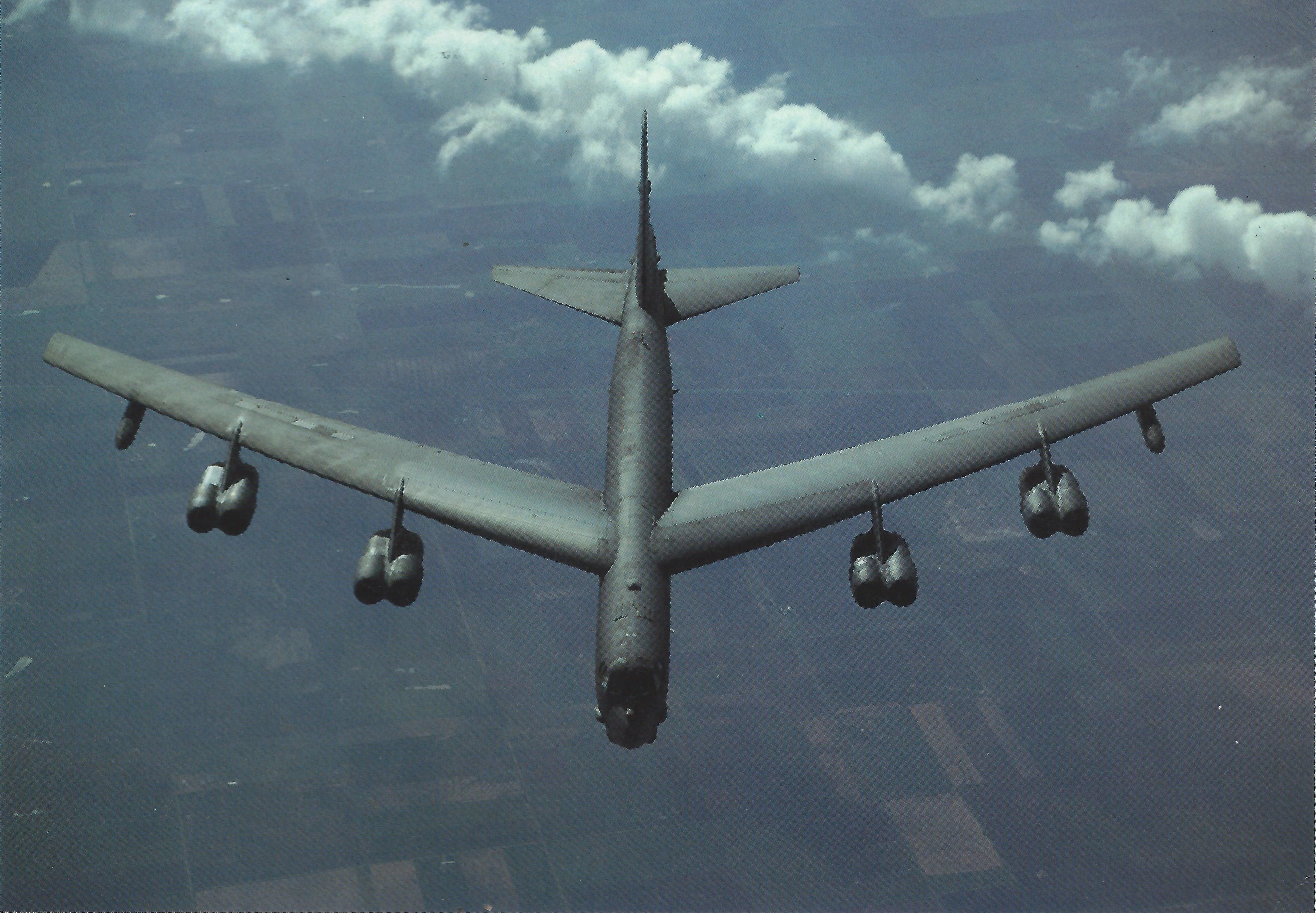
B-52 USAF
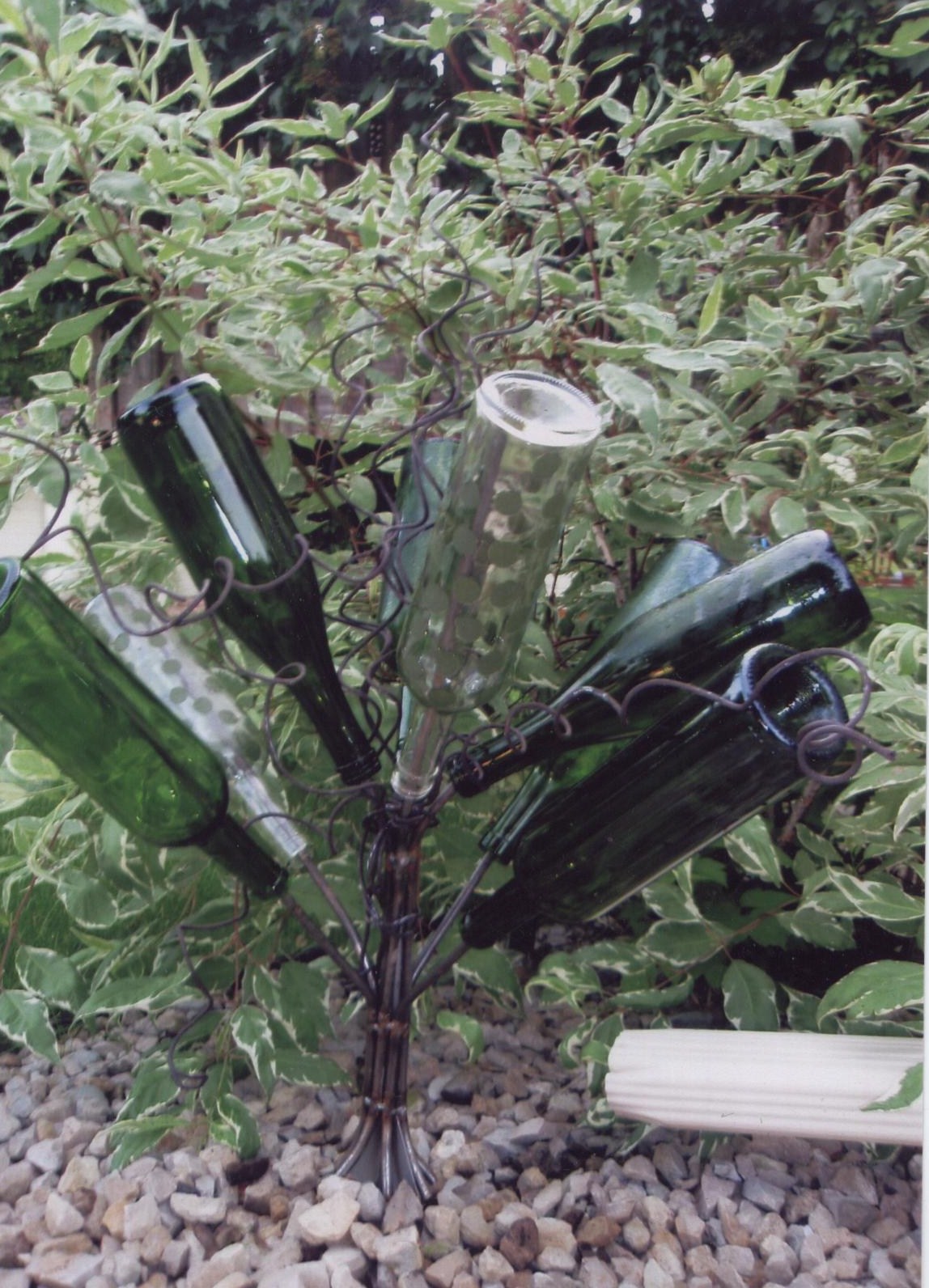
A nice color contrast
Tall bottletree

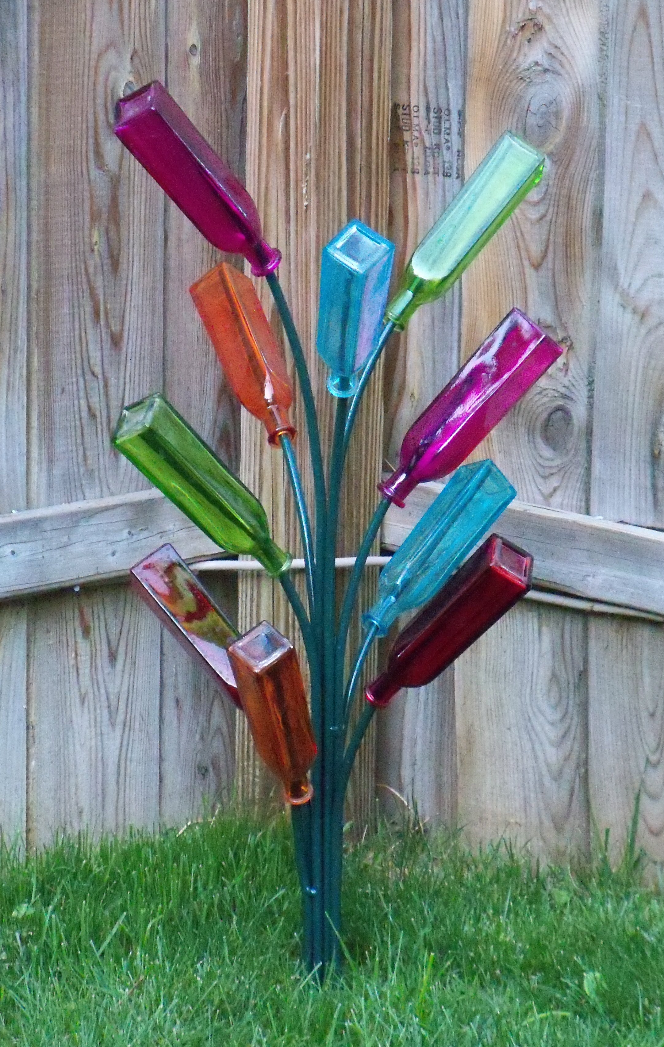
Pot of many colors
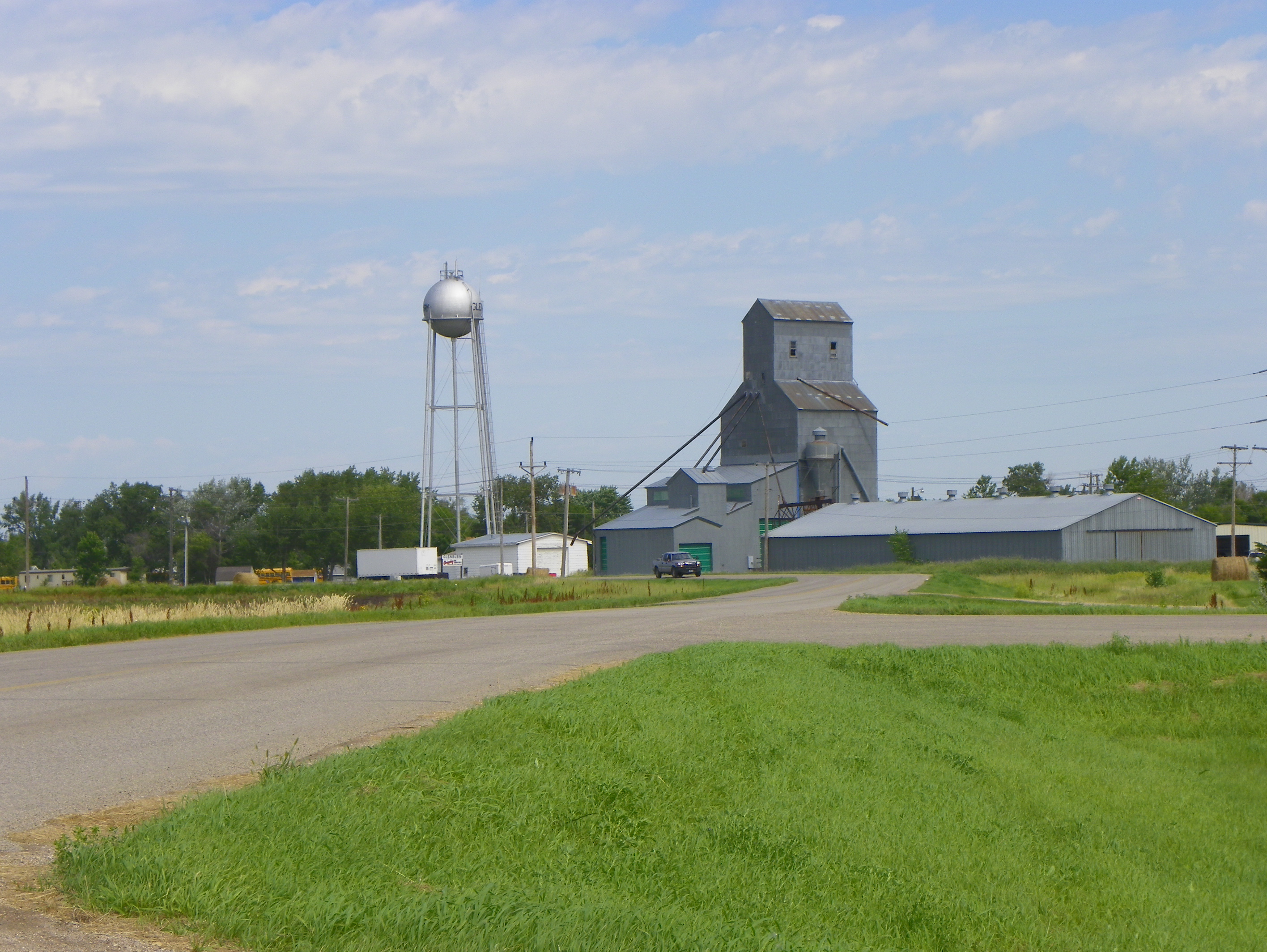
Glenburn, Renville County, North Dakota
"Green dot"

"Pastels"
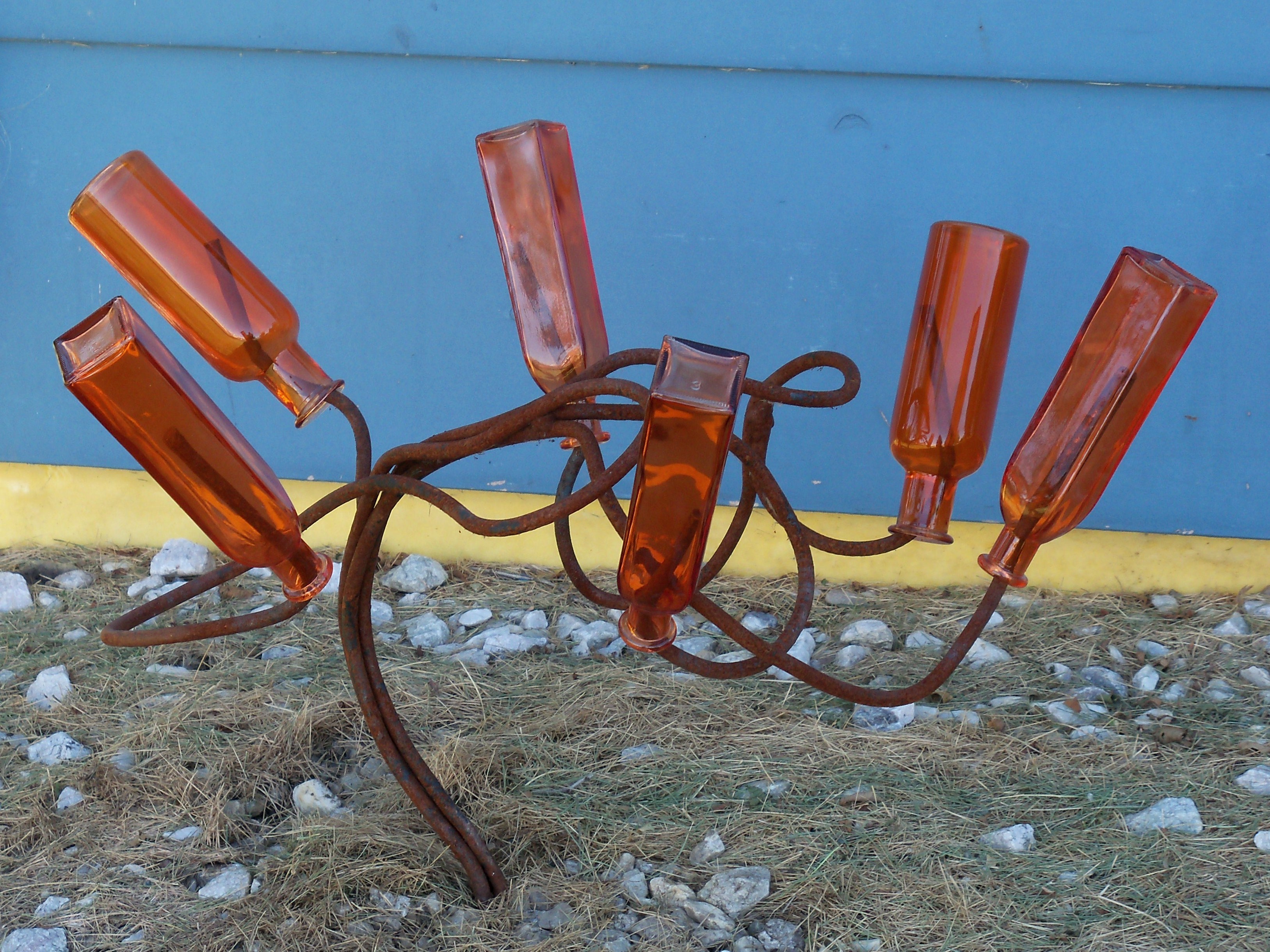
"Orange" Tree

Bottle Tree Man
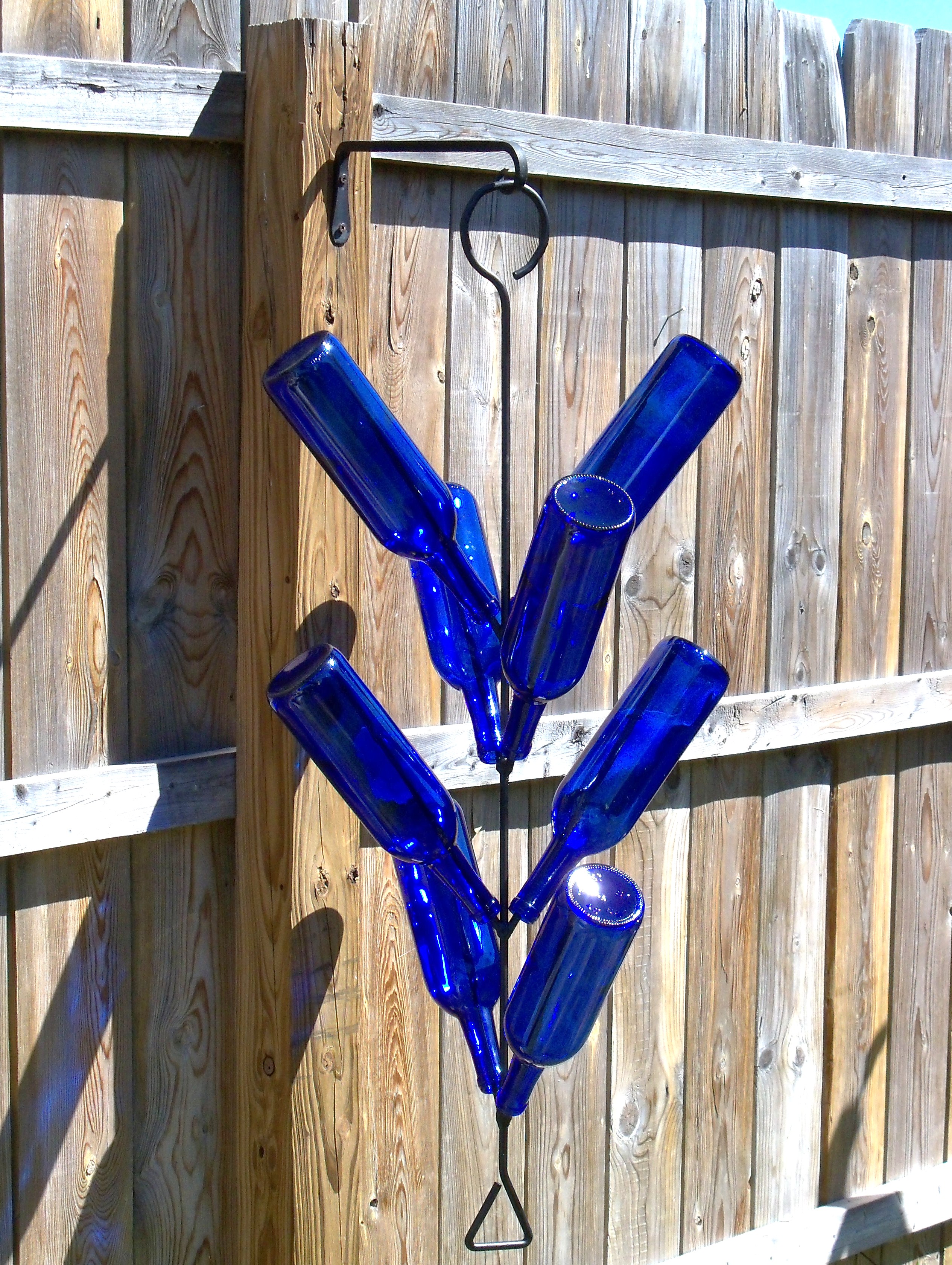
Hanging Bottle Tree
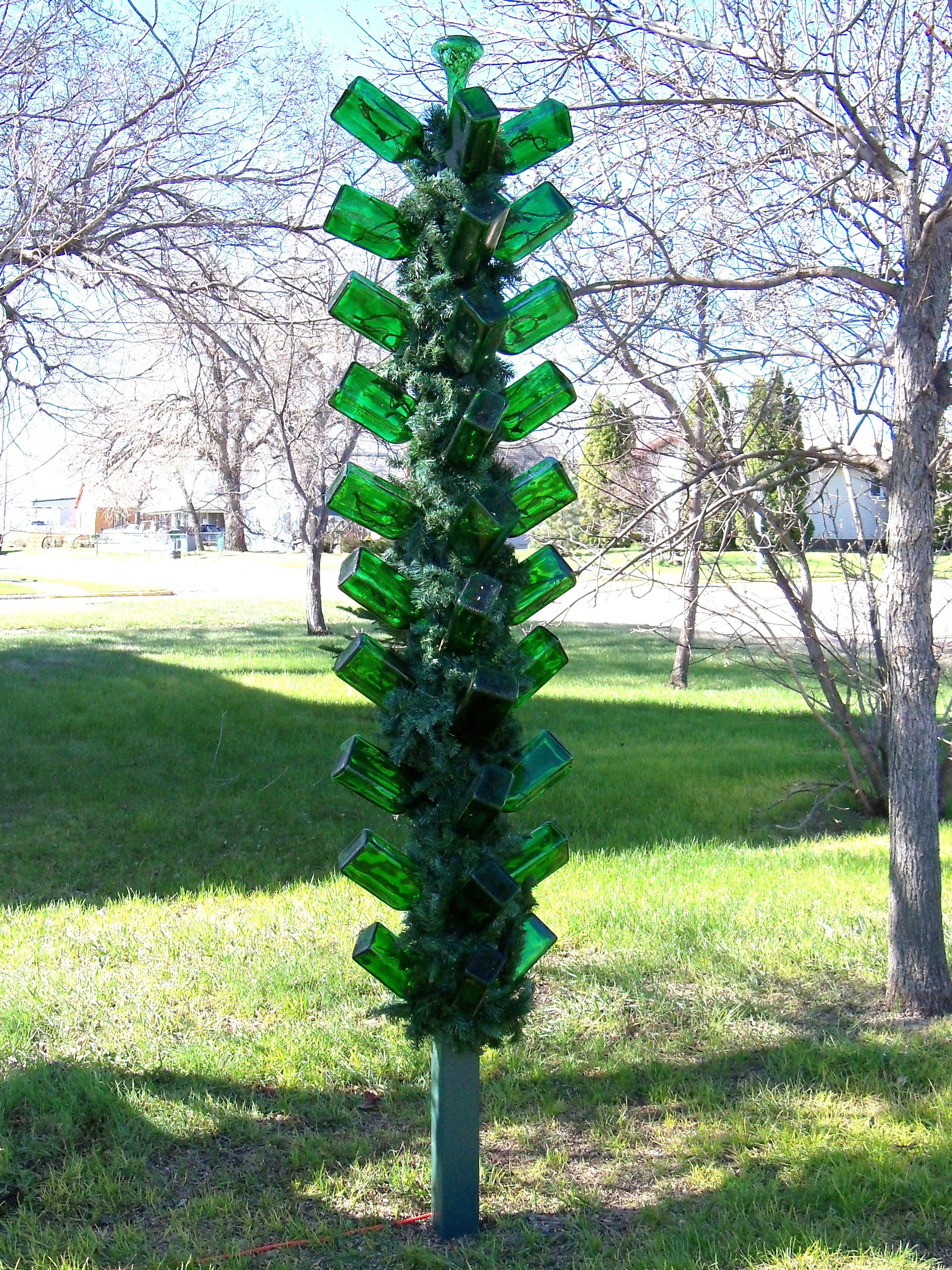
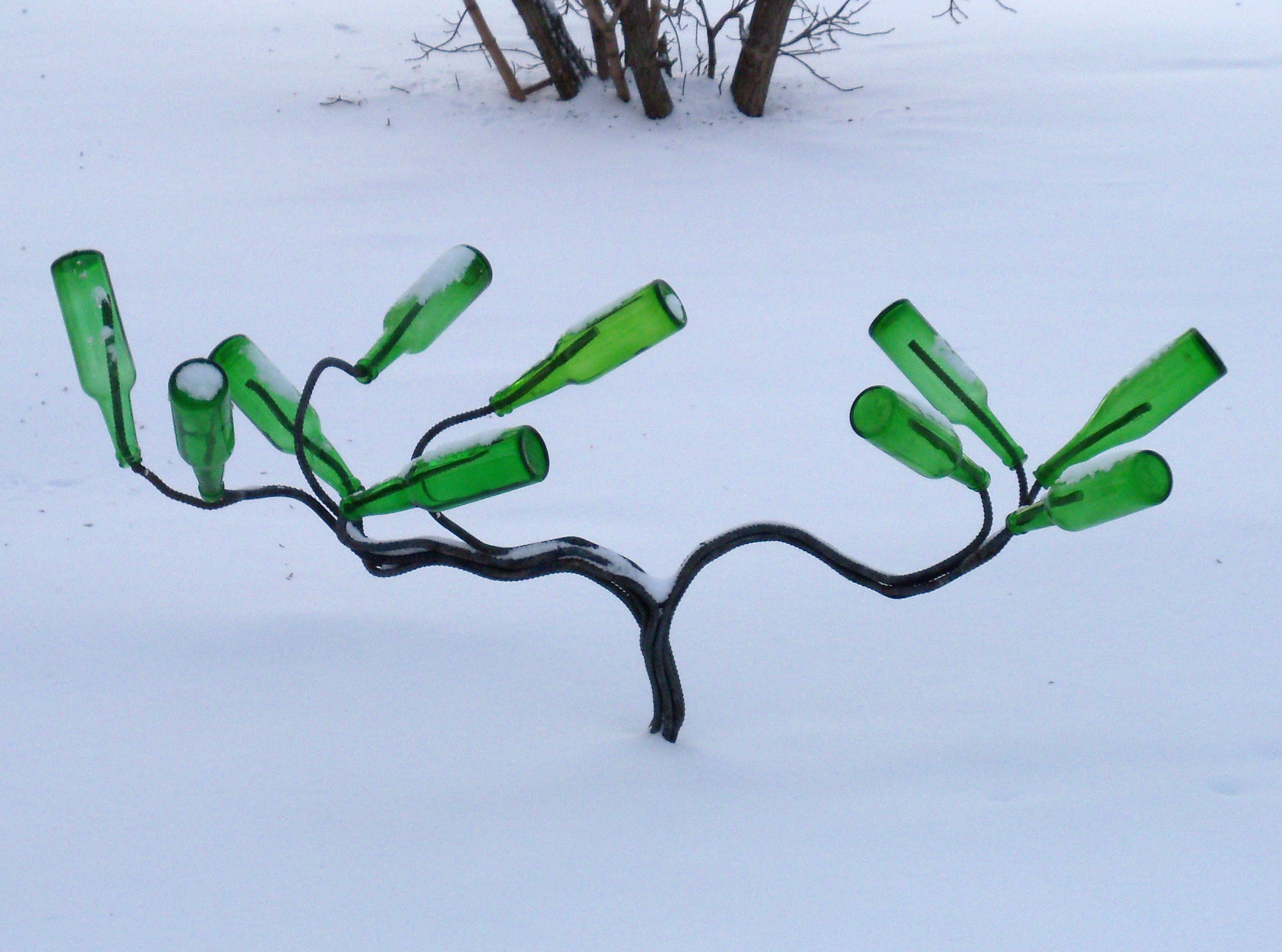
Emerald post

Wind blown bush
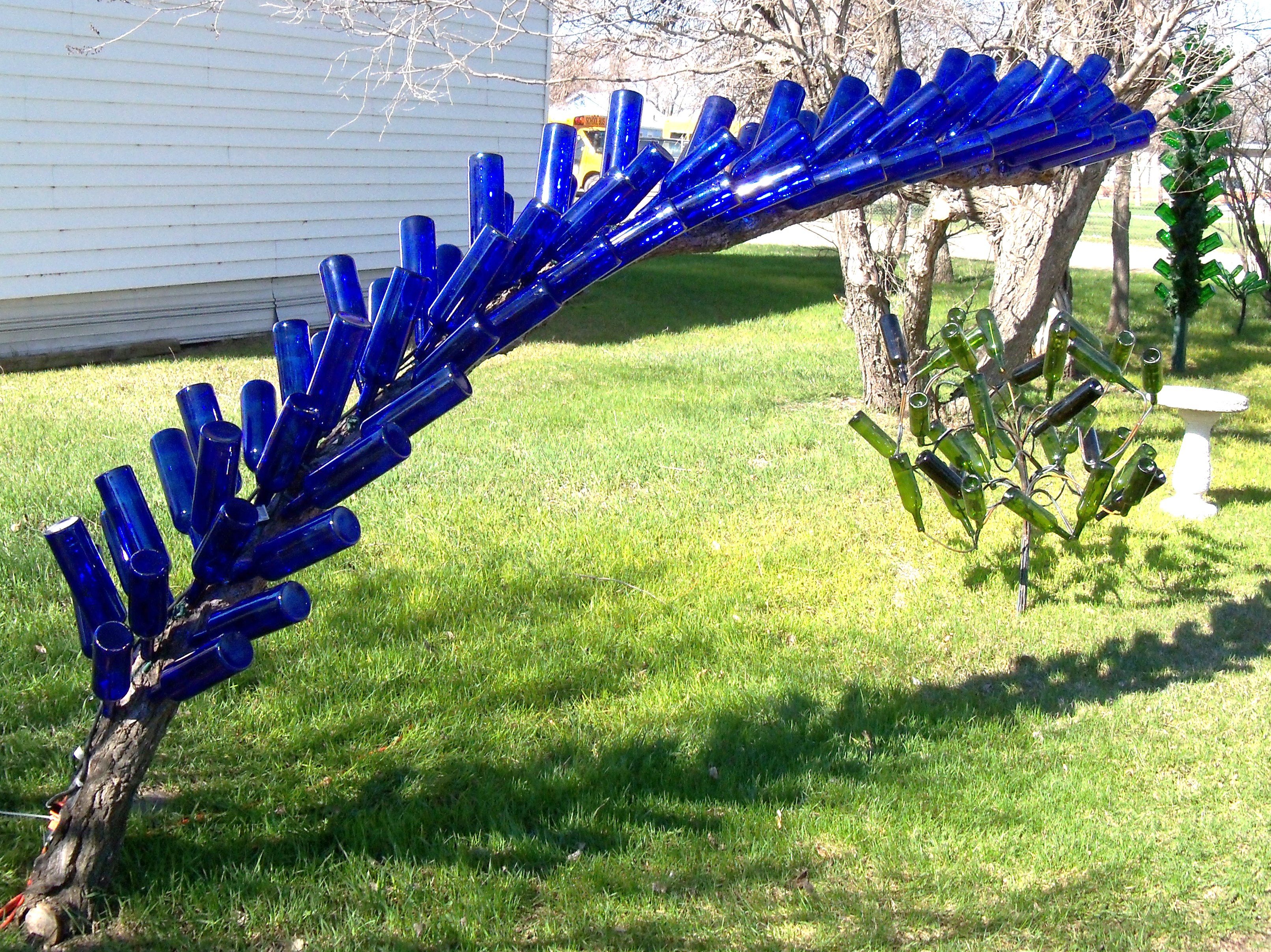
Blue arch update

Bottle Tree Man
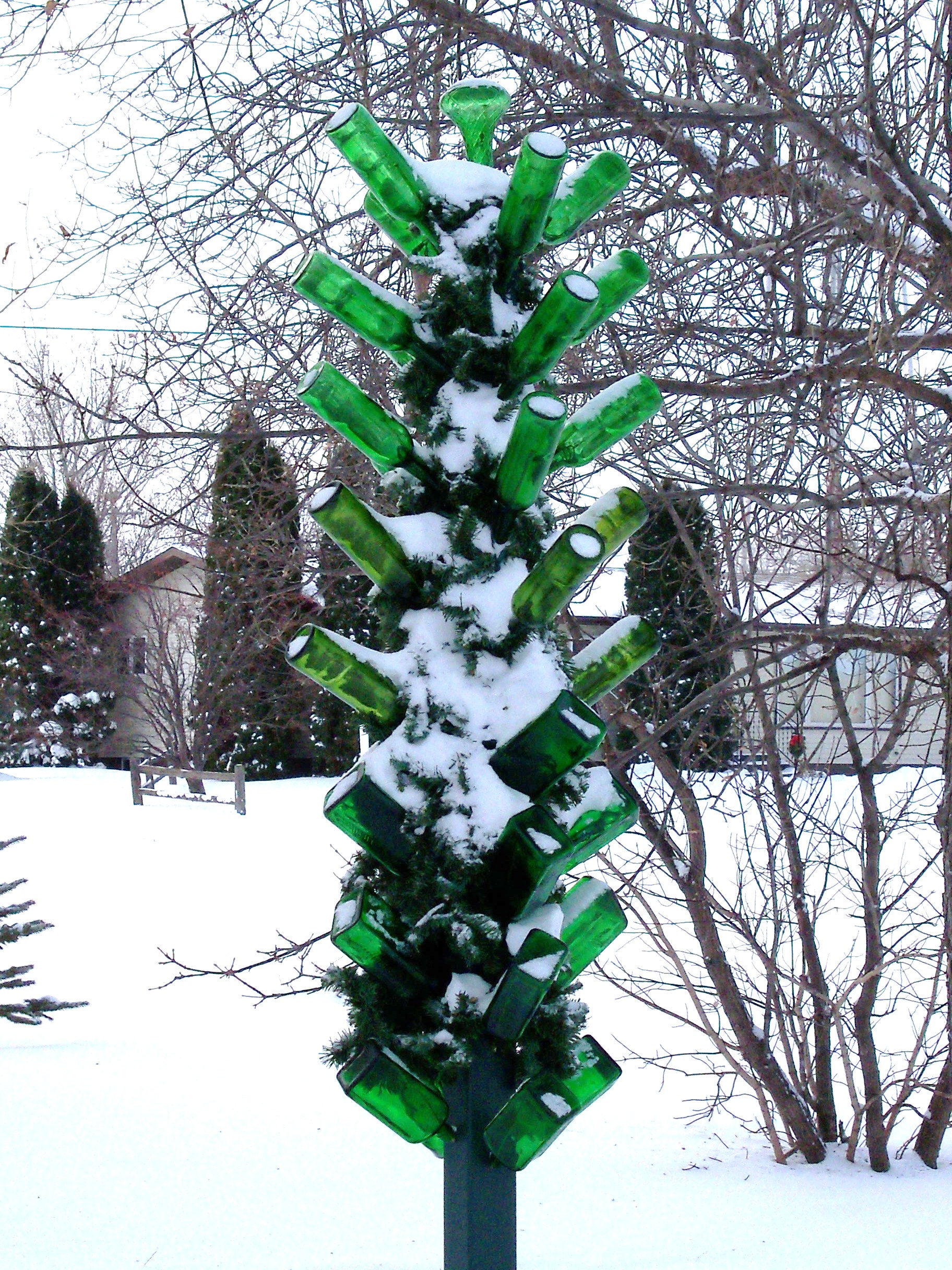
Winter contrast
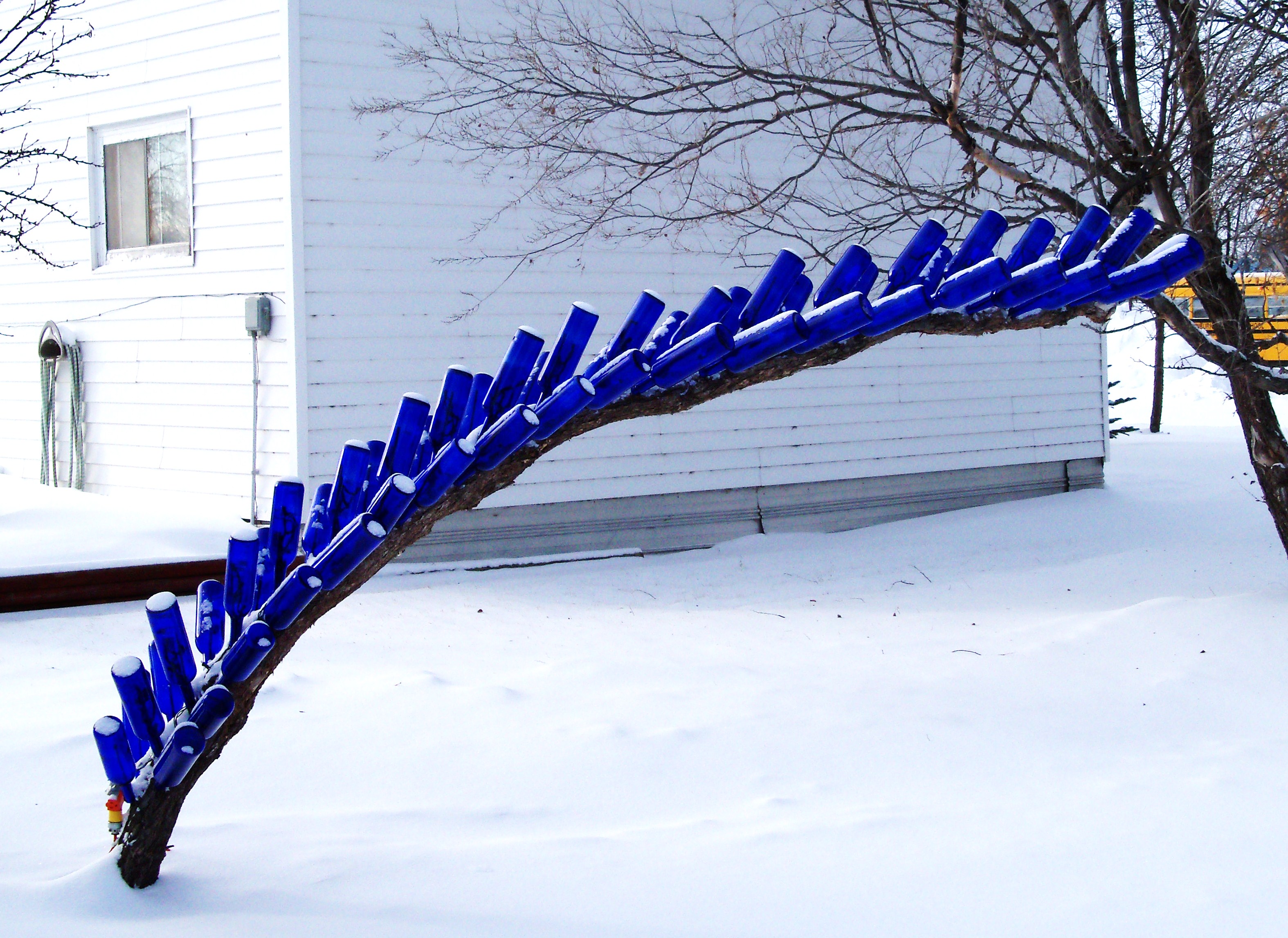
A dusting of white on blue

Bottle Tree Man, Guardian of all my Bottle Trees

F-8 CRUSADER - 1981

F-4 PHANTOM - 1981

F-106 DELTA DART - 1981

"New Zealand Springs" scent LOLZ - 23 March 2014 #newzealand #marketing #aotearoa #dawn
Topographic Map of N 5th Ave, Glenburn, ND, USA
Find elevation by address:

Places near N 5th Ave, Glenburn, ND, USA:
Glenburn
Deering
Nedrose
Surrey
3rd Ave SW, Surrey, ND, USA
3000 Us-52
71st Street North
Saline
Sawyer
Meadow
Upham
5126-5122
Mchenry County
28 Heritage Dr
Bottineau County
Velva
5 1st St E, Velva, ND, USA
Voltaire
Park St, Waskada, MB R0M 2E0, Canada
Waskada
Recent Searches:
- Elevation of Corso Fratelli Cairoli, 35, Macerata MC, Italy
- Elevation of Tallevast Rd, Sarasota, FL, USA
- Elevation of 4th St E, Sonoma, CA, USA
- Elevation of Black Hollow Rd, Pennsdale, PA, USA
- Elevation of Oakland Ave, Williamsport, PA, USA
- Elevation of Pedrógão Grande, Portugal
- Elevation of Klee Dr, Martinsburg, WV, USA
- Elevation of Via Roma, Pieranica CR, Italy
- Elevation of Tavkvetili Mountain, Georgia
- Elevation of Hartfords Bluff Cir, Mt Pleasant, SC, USA