Elevation map of Bottineau County, ND, USA
Location: United States > North Dakota >
Longitude: -100.74863
Latitude: 48.7820733
Elevation: 448m / 1470feet
Barometric Pressure: 96KPa
Elevation Map:
Satellite Map:
Related Photos:
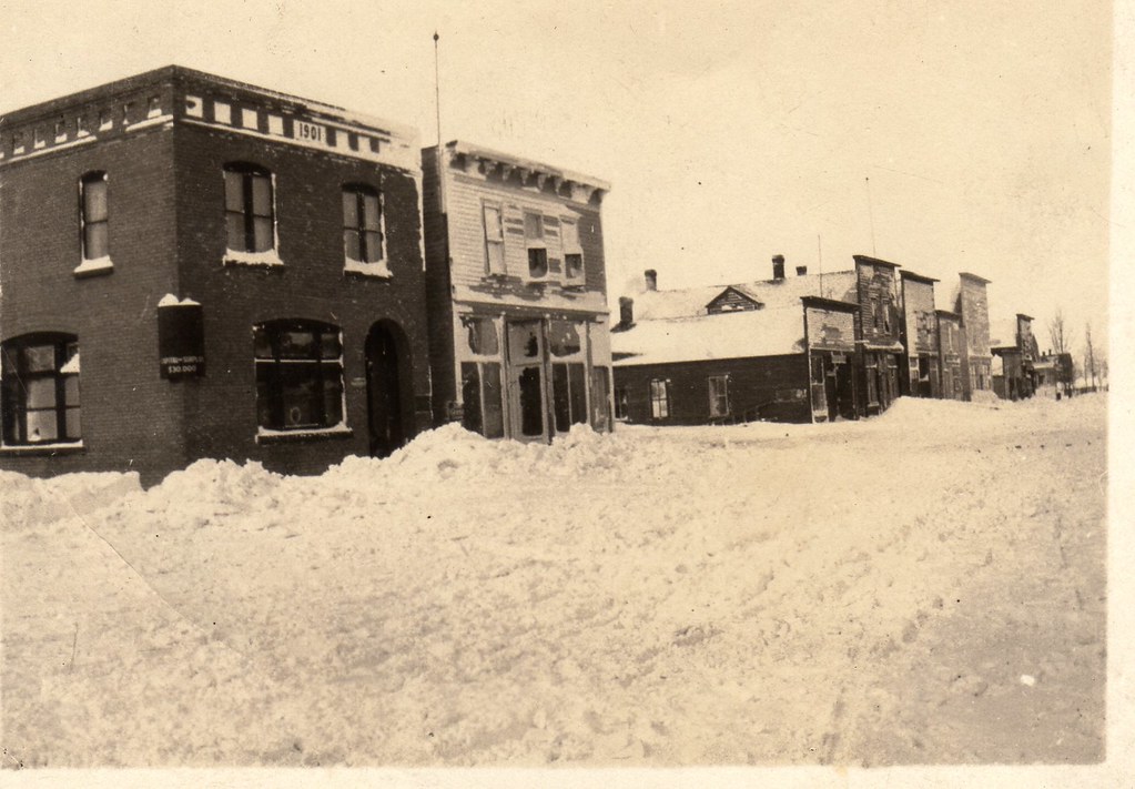
Souris, ND

Dakota maid flour #livelovedocument
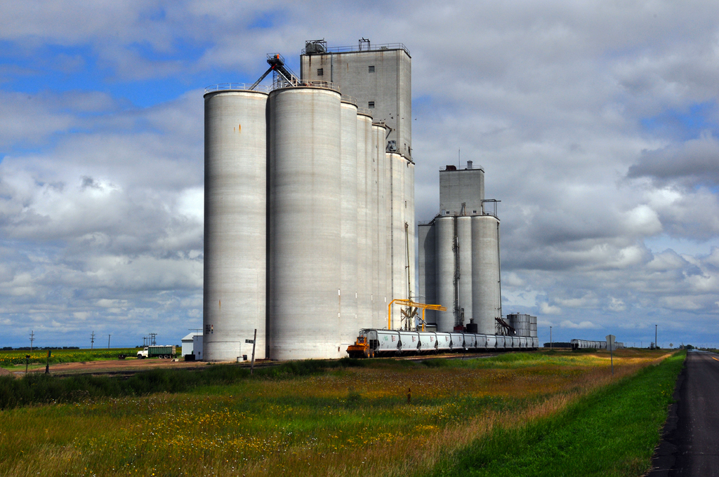
Russell, ND
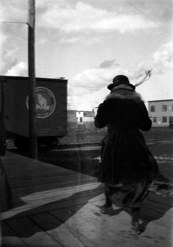
Windy on the platform

Three Merry Maids
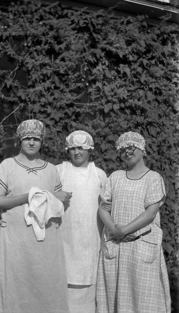
Three Merry Maids

Luella with a camera
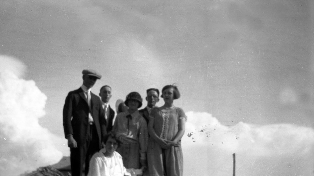
On top of the wood pile
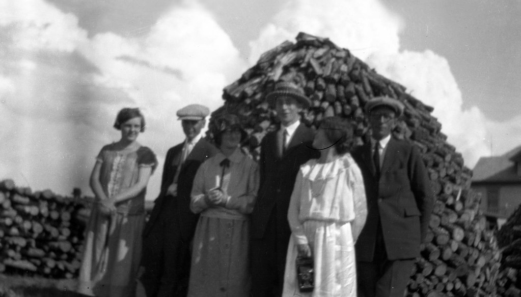
Wood pile
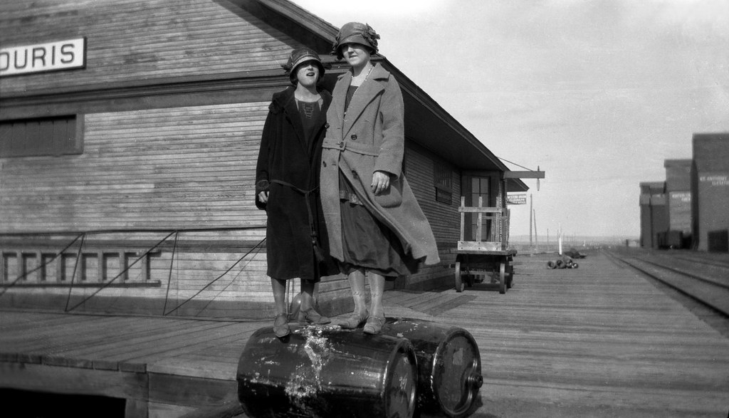
Souris Train Depot
Topographic Map of Bottineau County, ND, USA
Find elevation by address:

Places in Bottineau County, ND, USA:
Places near Bottineau County, ND, USA:
Meadow
Upham
Main St, Bottineau, ND, USA
Bottineau
621 Thompson St
Park St, Waskada, MB R0M 2E0, Canada
Waskada
11 Murray St, Goodlands, MB R0M 0R0, Canada
71st Street North
Saline
Brenda
Mchenry County
Turtle Mountains
Rose Ave, Deloraine, MB R0M 0M0, Canada
Deloraine
Deering
N 5th Ave, Glenburn, ND, USA
Glenburn
Towner
5126-5122
Recent Searches:
- Elevation of Slanický ostrov, 01 Námestovo, Slovakia
- Elevation of Spaceport America, Co Rd A, Truth or Consequences, NM, USA
- Elevation of Warwick, RI, USA
- Elevation of Fern Rd, Whitmore, CA, USA
- Elevation of 62 Abbey St, Marshfield, MA, USA
- Elevation of Fernwood, Bradenton, FL, USA
- Elevation of Felindre, Swansea SA5 7LU, UK
- Elevation of Leyte Industrial Development Estate, Isabel, Leyte, Philippines
- Elevation of W Granada St, Tampa, FL, USA
- Elevation of Pykes Down, Ivybridge PL21 0BY, UK