Elevation of Upham, ND, USA
Location: United States > North Dakota > Mchenry County > Meadow >
Longitude: -100.72819
Latitude: 48.5816728
Elevation: 439m / 1440feet
Barometric Pressure: 96KPa
Elevation Map:
Satellite Map:
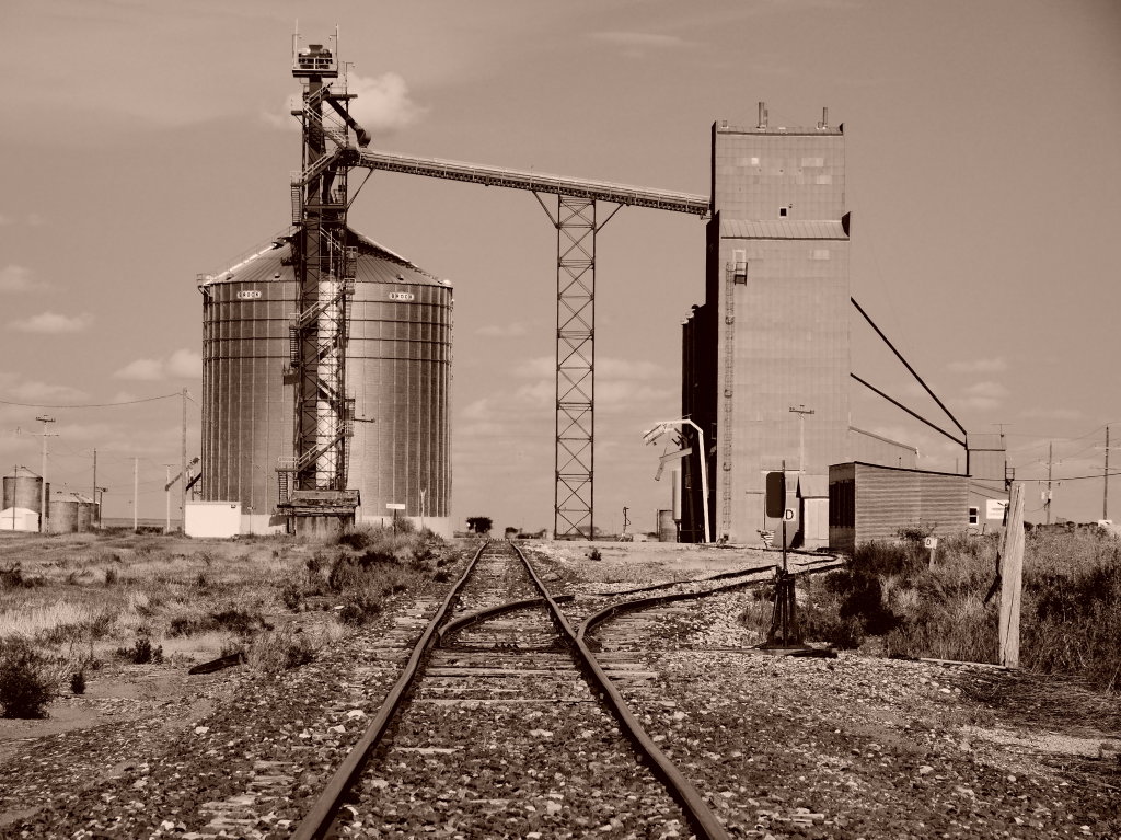
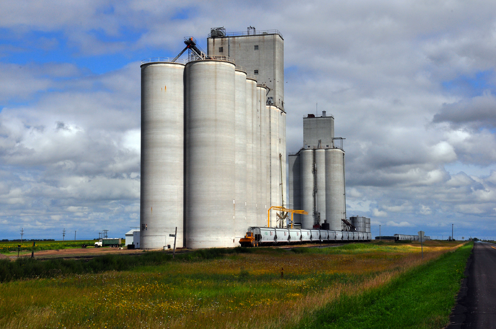
Related Photos:

Rock Dam

Around The Bend
Just wind noise ...
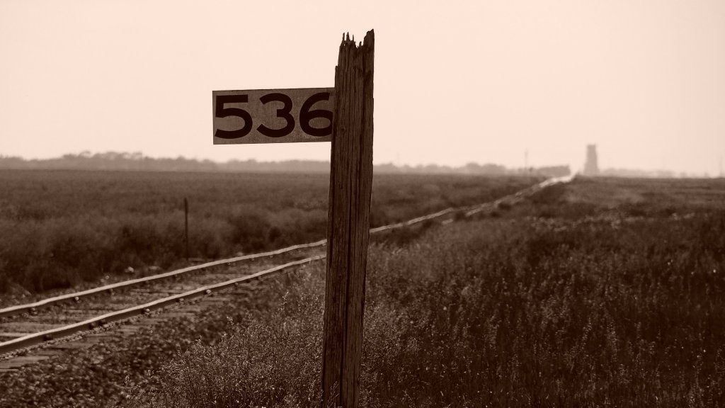
Battered Milepost on the Prairie

Happy Autumn

Dakota maid flour #livelovedocument

Going In For The Kill

Rock Dam HDR
Russell, ND
Topographic Map of Upham, ND, USA
Find elevation by address:

Places near Upham, ND, USA:
Meadow
Saline
Bottineau County
Mchenry County
71st Street North
Deering
Main St, Bottineau, ND, USA
Bottineau
621 Thompson St
Towner
5126-5122
N 5th Ave, Glenburn, ND, USA
Glenburn
Park St, Waskada, MB R0M 2E0, Canada
Waskada
11 Murray St, Goodlands, MB R0M 0R0, Canada
Surrey
3rd Ave SW, Surrey, ND, USA
5 1st St E, Velva, ND, USA
Velva
Recent Searches:
- Elevation of Côte-des-Neiges, Montreal, QC H4A 3J6, Canada
- Elevation of Bobcat Dr, Helena, MT, USA
- Elevation of Zu den Ihlowbergen, Althüttendorf, Germany
- Elevation of Badaber, Peshawar, Khyber Pakhtunkhwa, Pakistan
- Elevation of SE Heron Loop, Lincoln City, OR, USA
- Elevation of Slanický ostrov, 01 Námestovo, Slovakia
- Elevation of Spaceport America, Co Rd A, Truth or Consequences, NM, USA
- Elevation of Warwick, RI, USA
- Elevation of Fern Rd, Whitmore, CA, USA
- Elevation of 62 Abbey St, Marshfield, MA, USA