Elevation of North Cascade Heli-Skiing, 31 Early Winters Dr, Mazama, WA, USA
Location: United States > Washington > Mazama >
Longitude: -120.43966
Latitude: 48.59621
Elevation: 664m / 2178feet
Barometric Pressure: 94KPa
Elevation Map:
Satellite Map:
Related Photos:

Sun Mountain Lodge

Sun Mountain Lodge
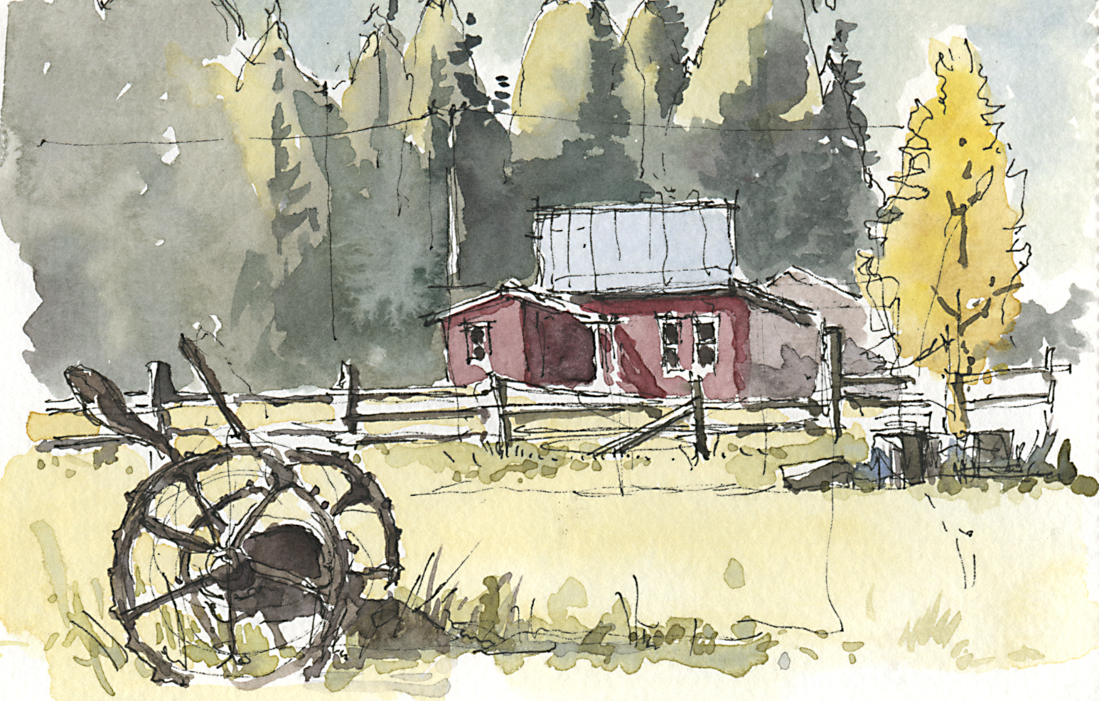
Fall Colors in Mazama II

Deer Mazama
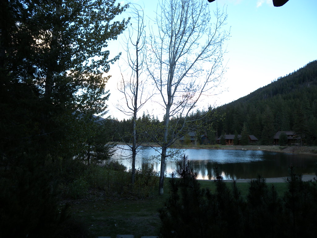
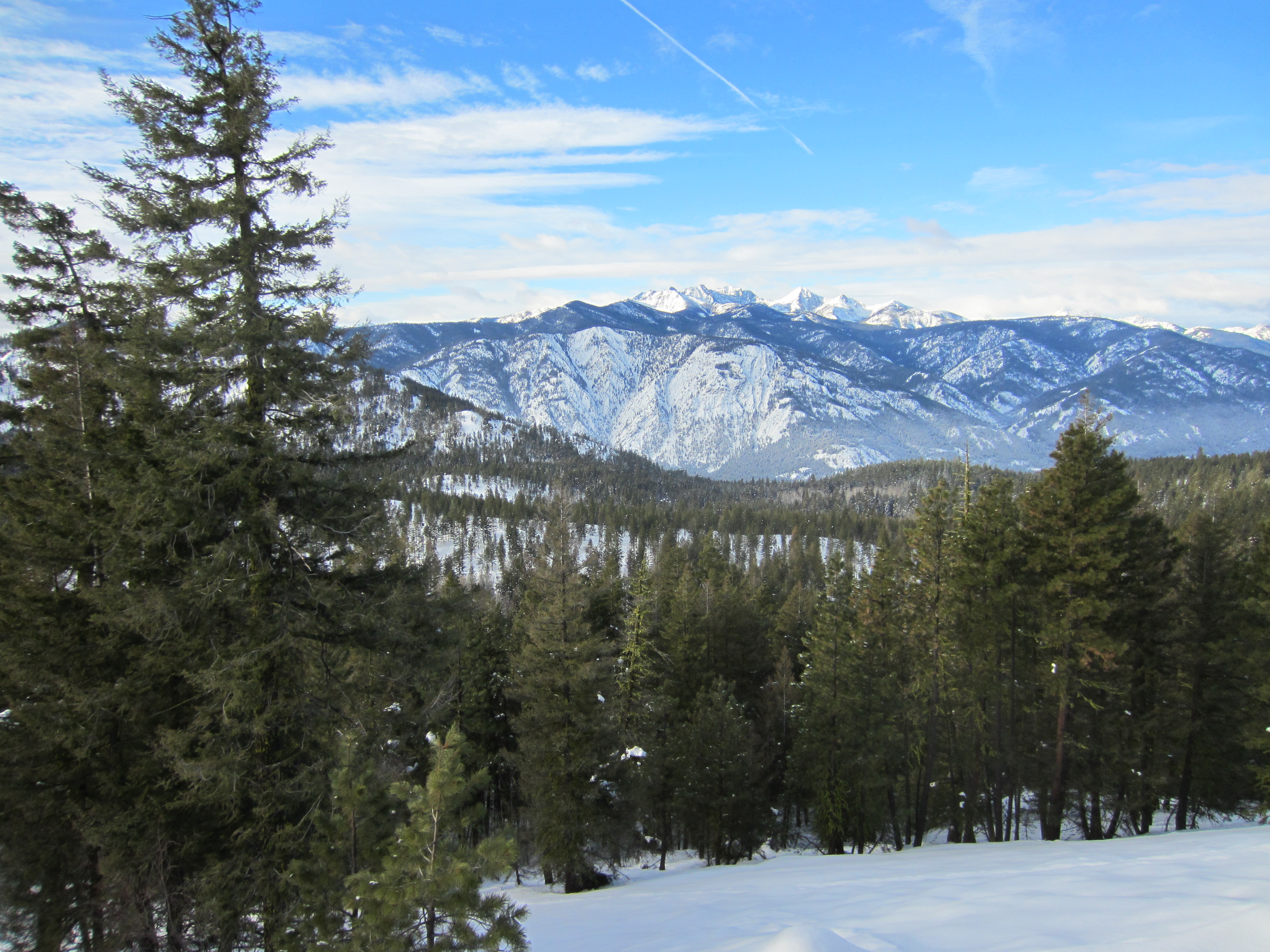
Methow Valley
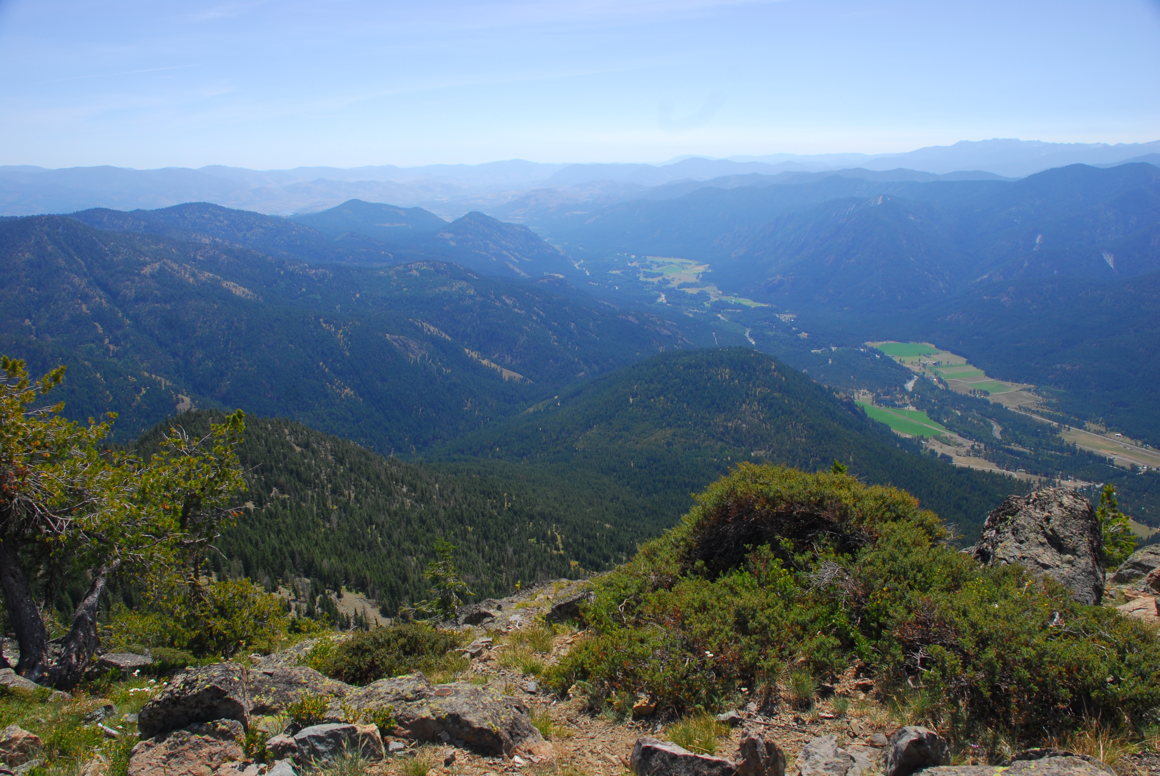
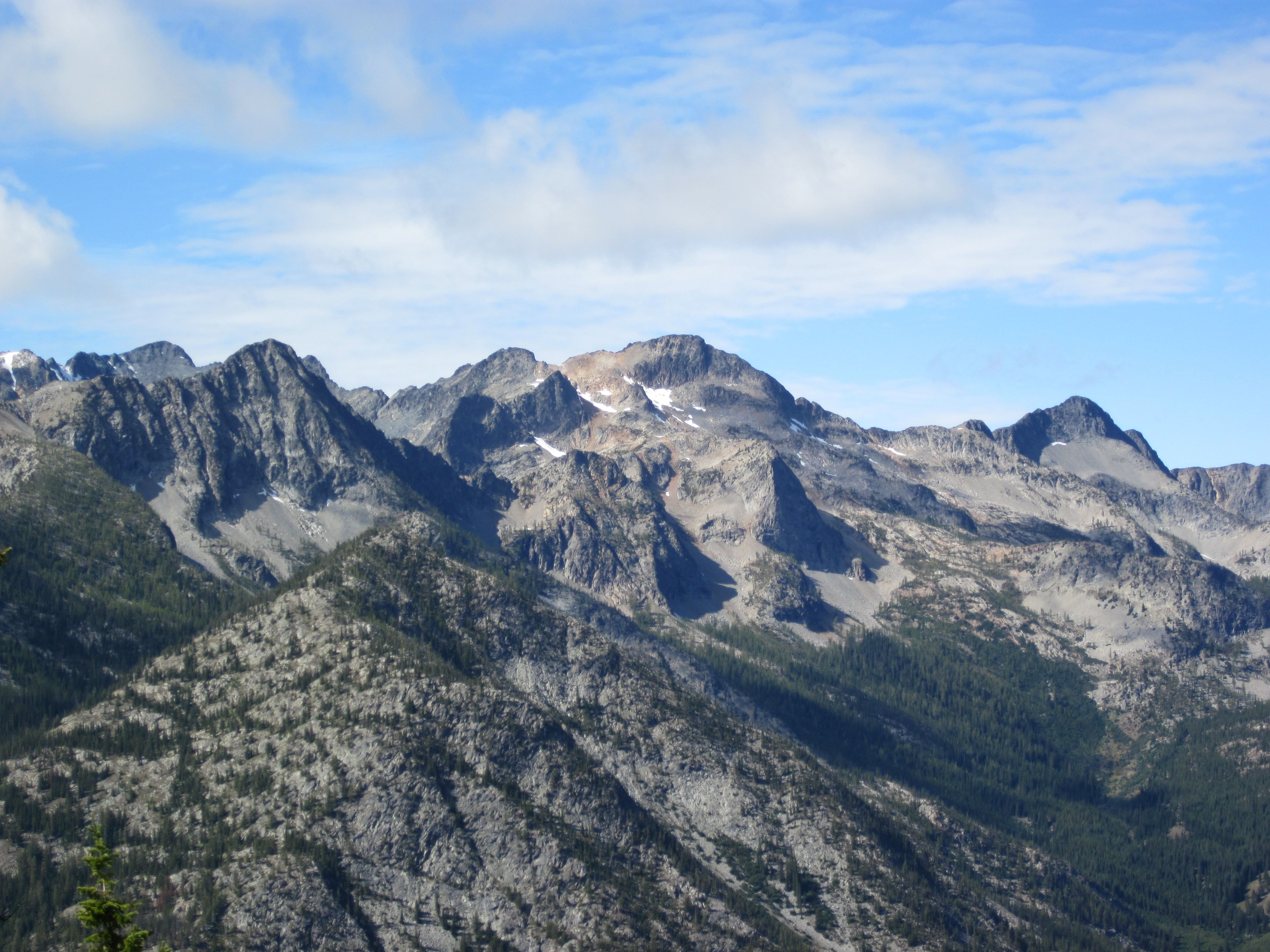
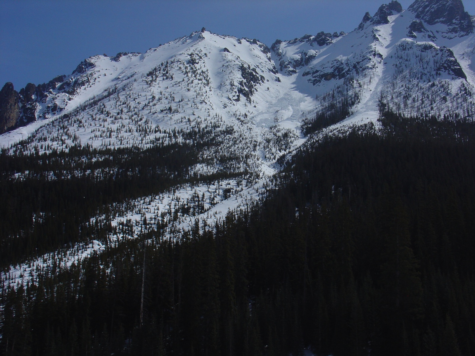
View from Goat Peak

Methow Valley

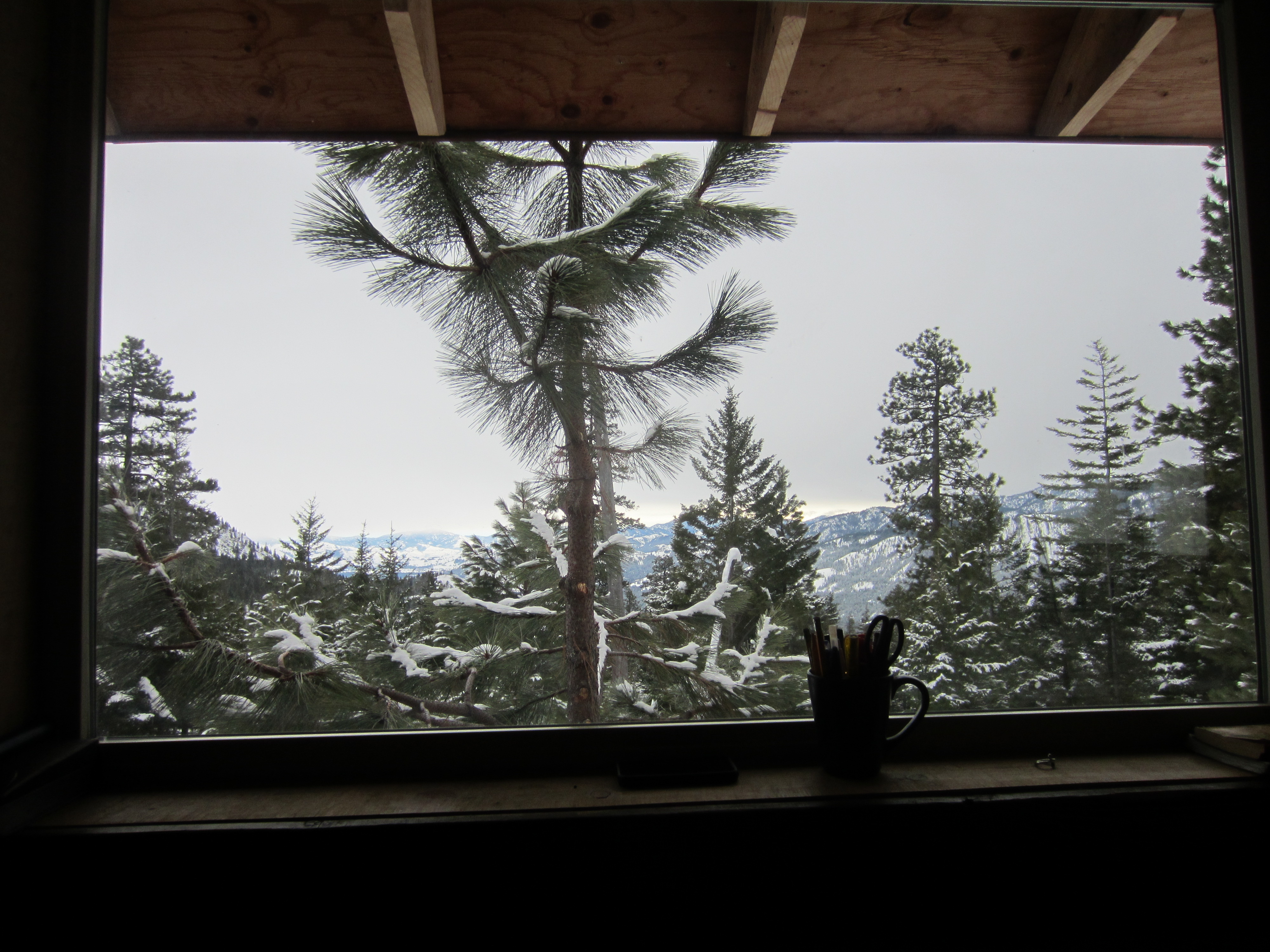
A room with a view
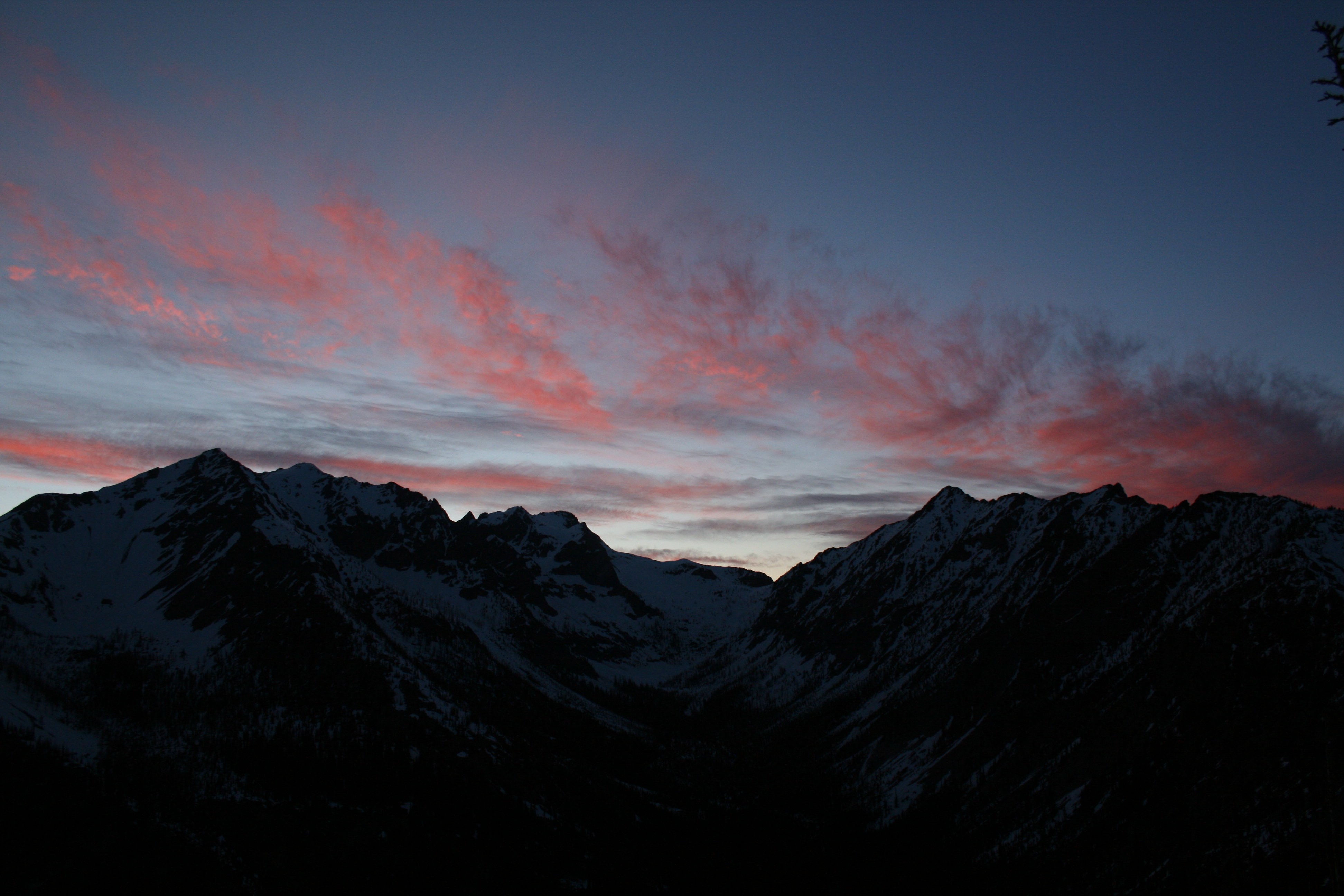
View towards Robinson at sunset

freestone inn

Checking out the view at lunch with Pargetter's help
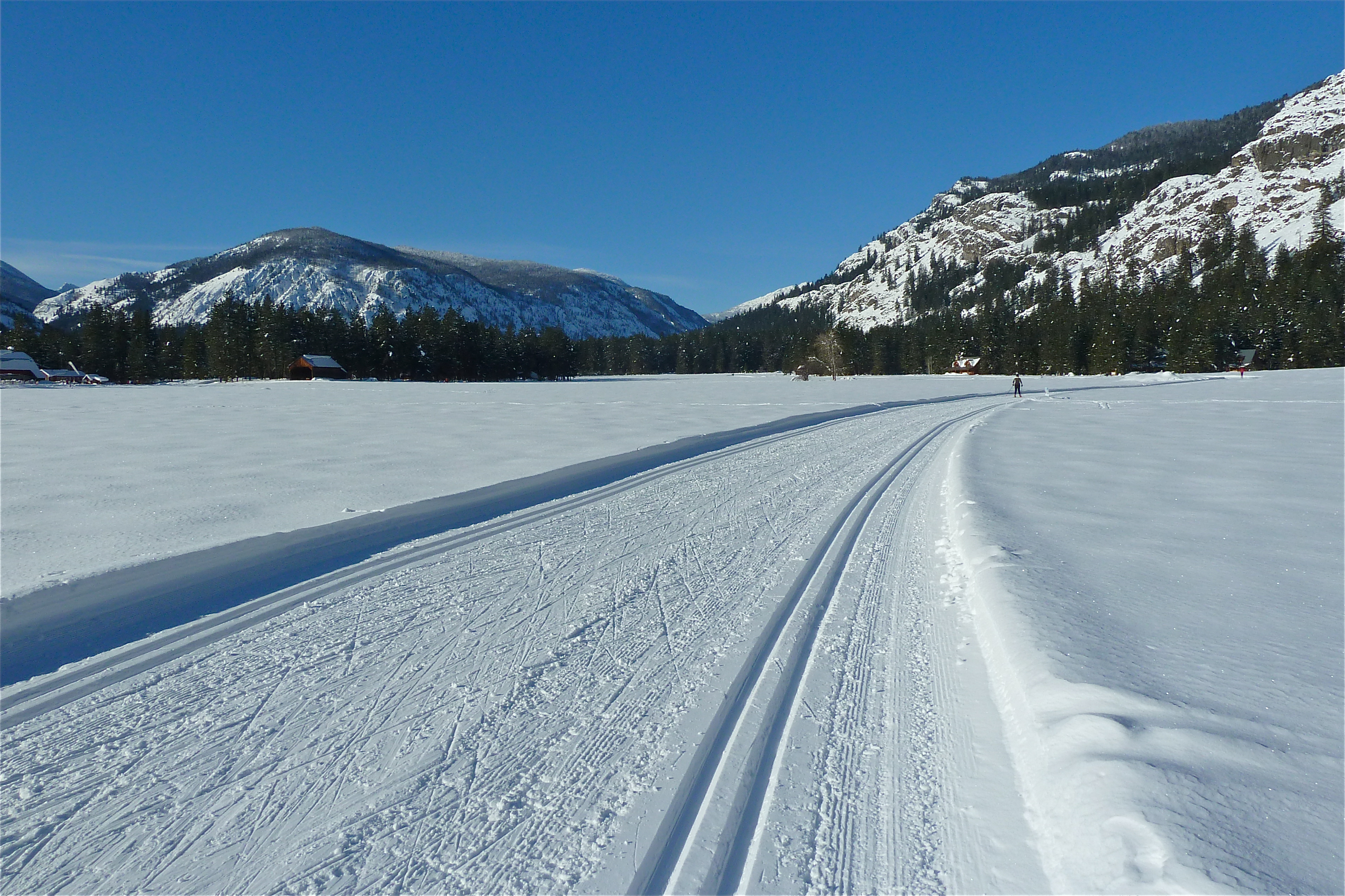
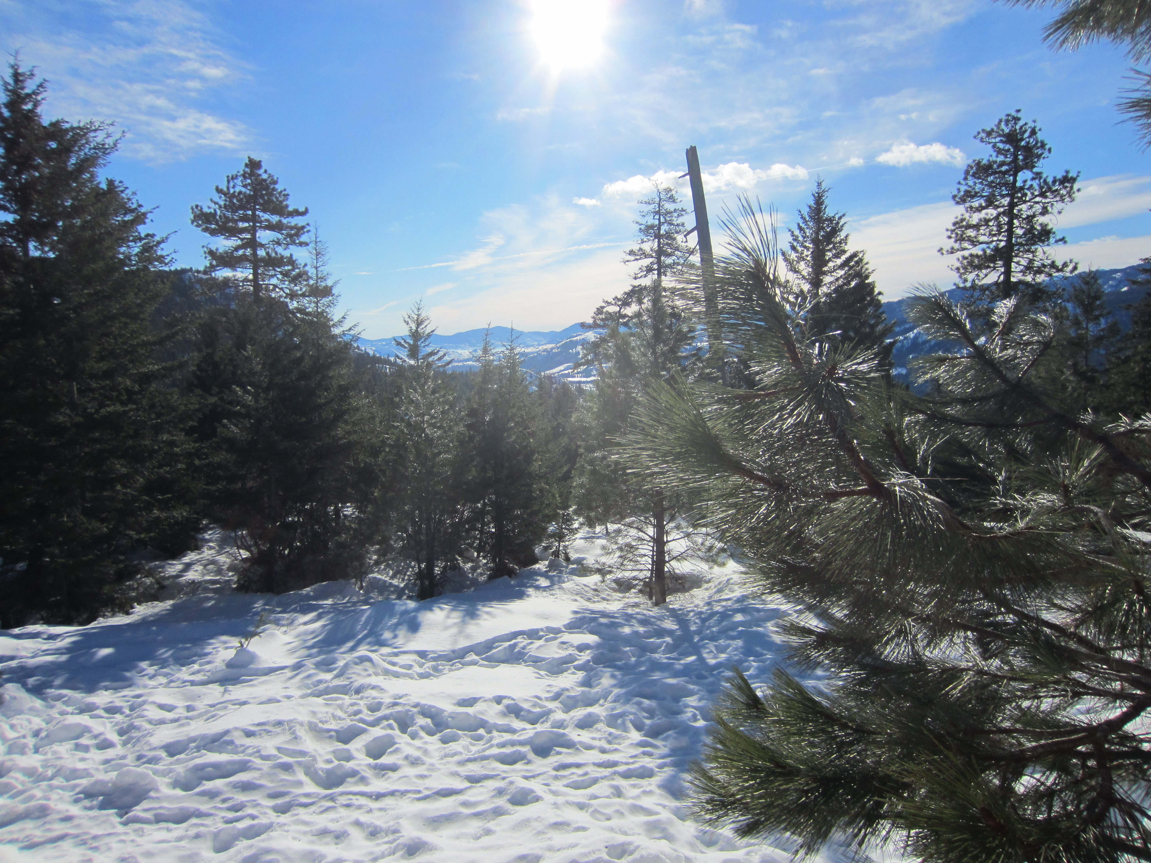
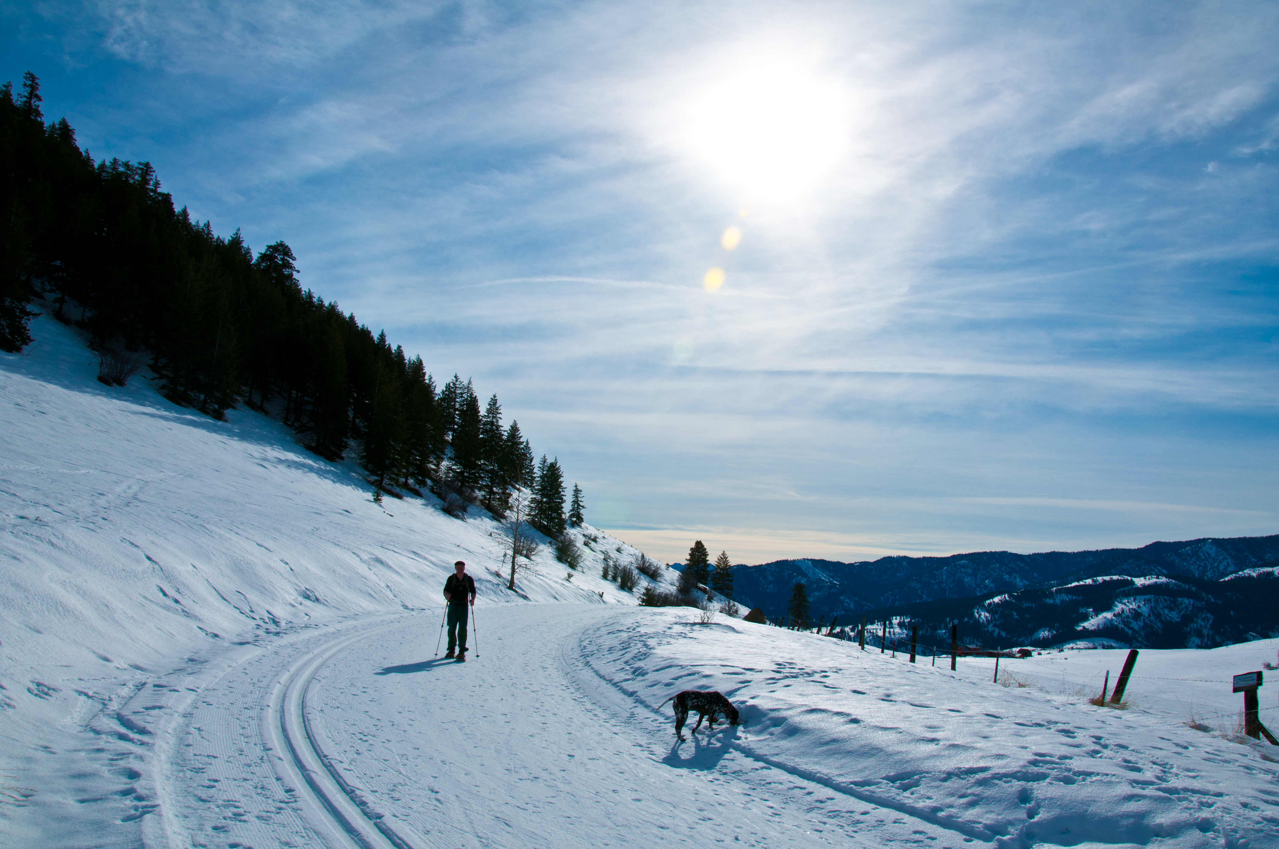
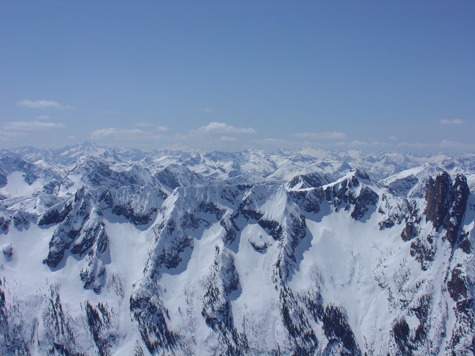
Ski View Near Mazama
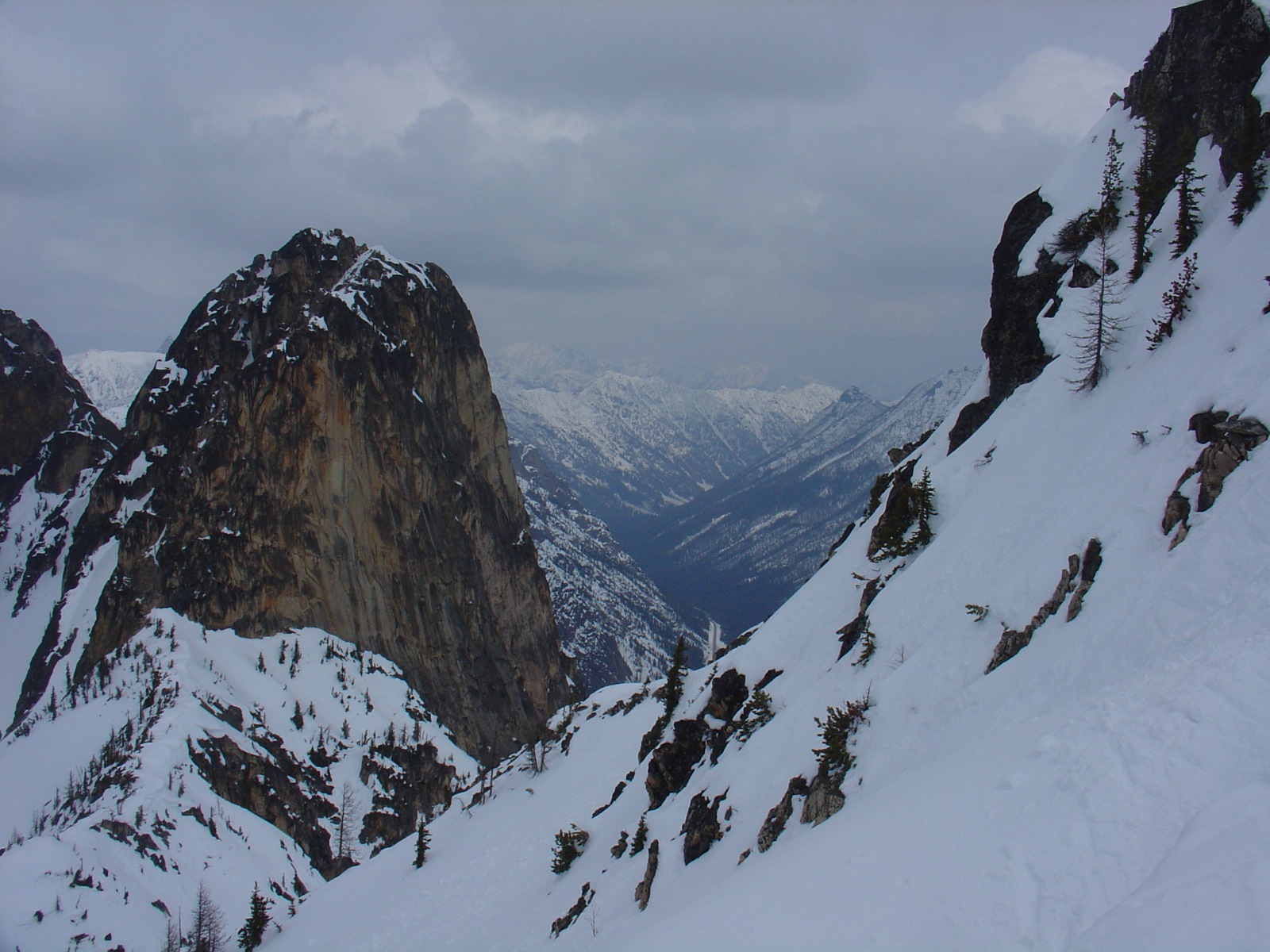
View from Grizzly Hut

View west from camp
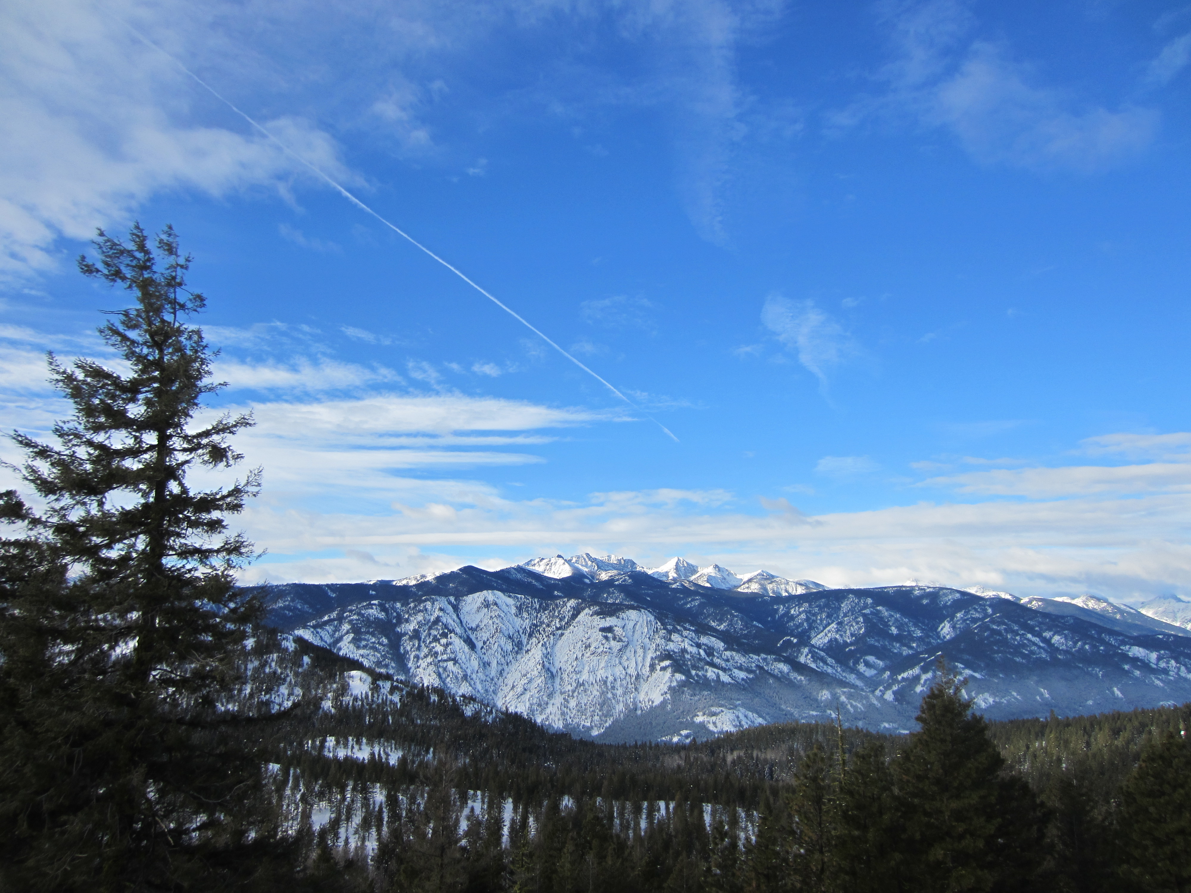
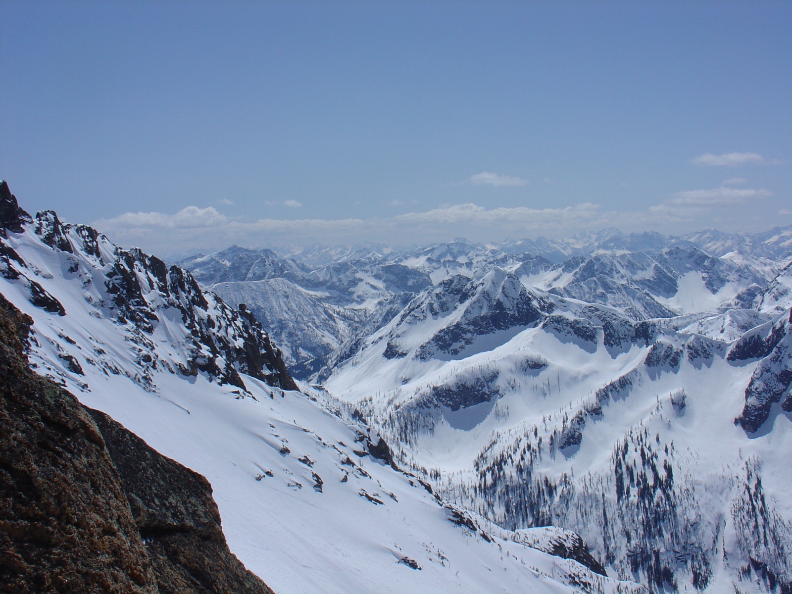
View from Rendezvous Hut, bluer skies

View from Rendezvous Hut, closeup 2
freestone inn
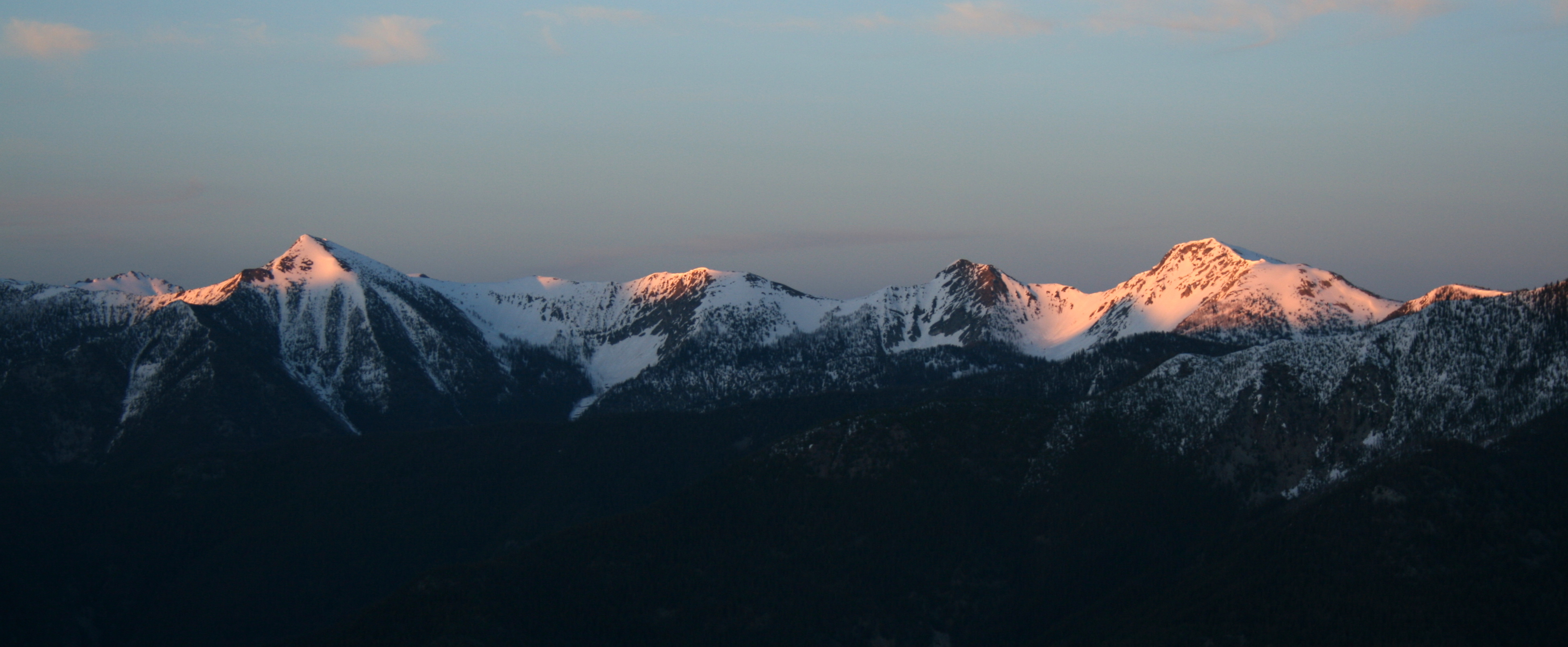
View east at sunset

View from Rendezvous Hut, closeup
View west towards Robinson
View from Rendezvous Hut
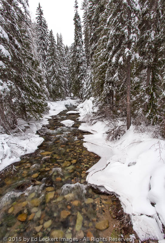
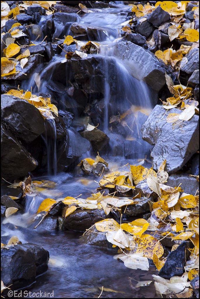
Early Winters Creek, near Mazama, Washington
It's Called "Fall" For a Reason

Three rectangles

DSC04075.JPG

Cedar Falls
Frank and Maggie
DSC04086.JPG
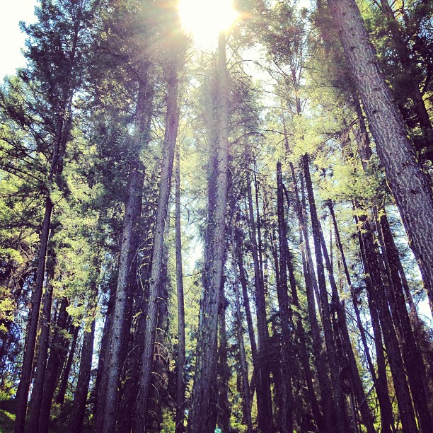
Sun through the trees. #hike #sun #trees
DSC04106.JPG
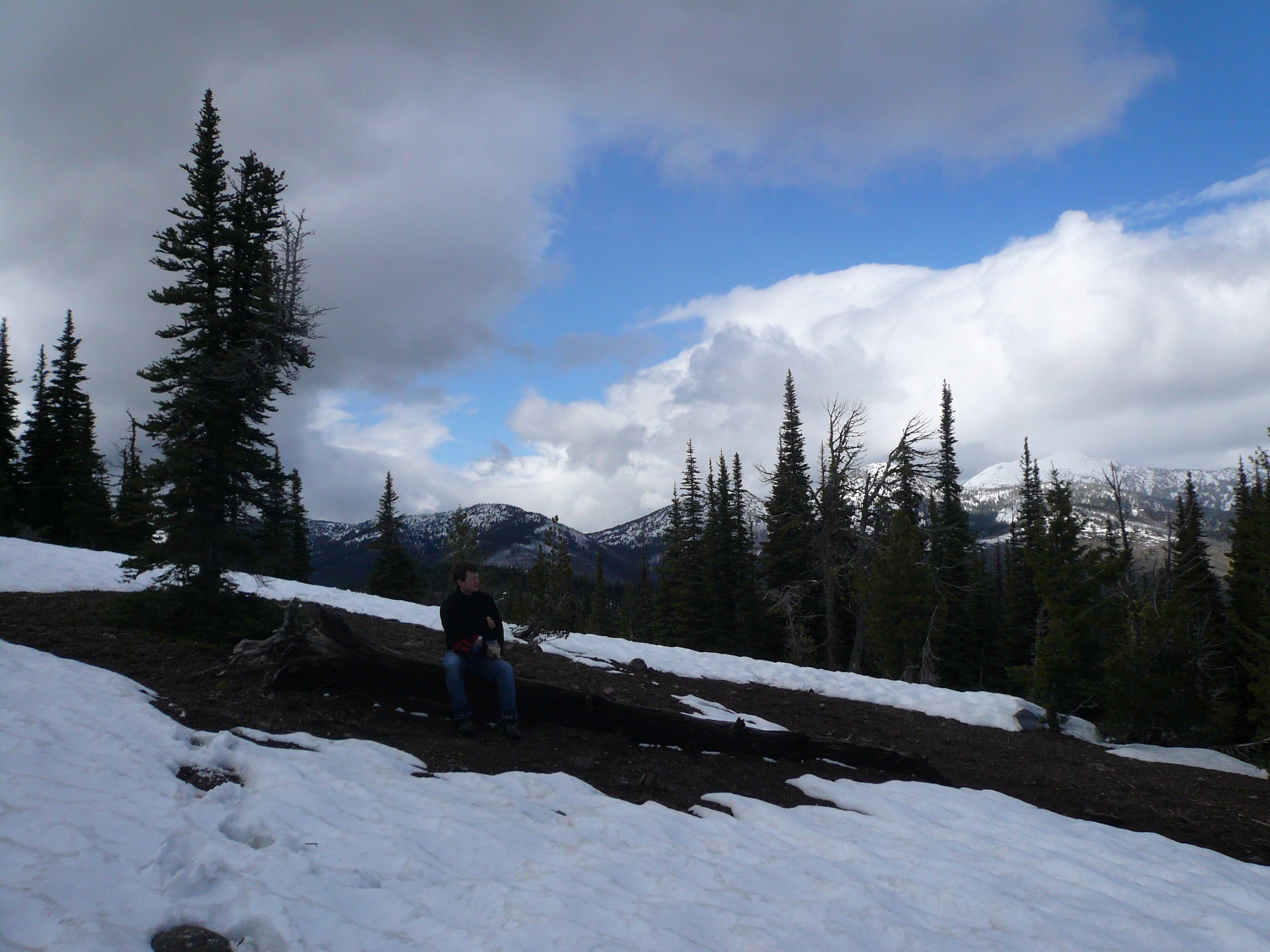
Attempt at Goat Peak. Too bad the trail doesn't open until July.
DSC04099.JPG

DSC04104.JPG
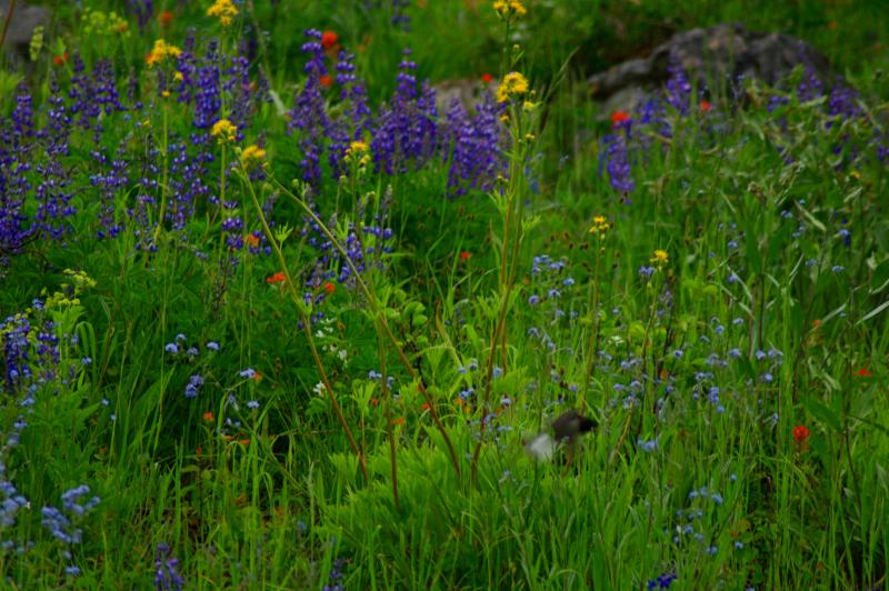
Mountain Wildflowers
DSC04105.JPG

Upper Cedar Creek Falls
eastside pano 2 for email
Topographic Map of North Cascade Heli-Skiing, 31 Early Winters Dr, Mazama, WA, USA
Find elevation by address:

Places near North Cascade Heli-Skiing, 31 Early Winters Dr, Mazama, WA, USA:
Mazama
Goat Peak
8 Cottonwood Cir
Lost River Resort
Setting Sun Mountain
Early Winters Creek
Abernathy Peak
Abernathy Ridge
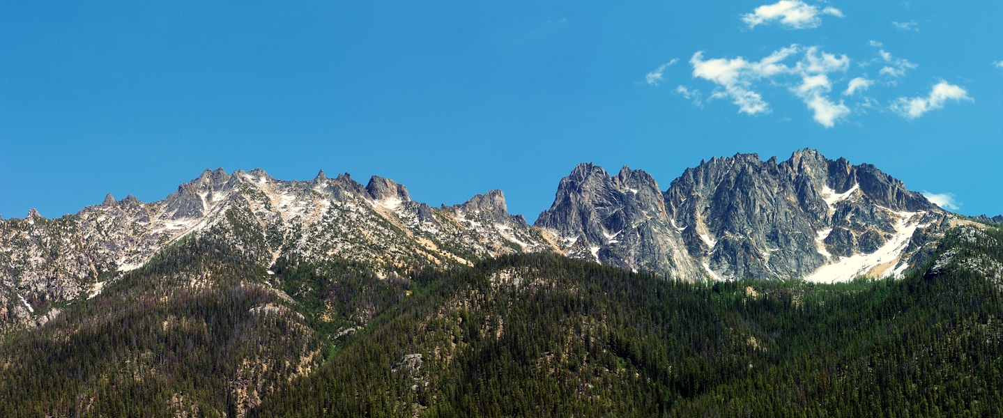
Silver Star Mountain
Vasiliki Ridge
Snagtooth Ridge
Midnight Mountain
Beauty Peak
South Creek Campground
Gilbert Mountain
Lone Fir Campground (recgovnpsdata)
Robinson Mountain
Kangaroo Ridge
Lake Mountain
The Needles
Recent Searches:
- Elevation of 6 Rue Jules Ferry, Beausoleil, France
- Elevation of Sattva Horizon, 4JC6+G9P, Vinayak Nagar, Kattigenahalli, Bengaluru, Karnataka, India
- Elevation of Great Brook Sports, Gold Star Hwy, Groton, CT, USA
- Elevation of 10 Mountain Laurels Dr, Nashua, NH, USA
- Elevation of 16 Gilboa Ln, Nashua, NH, USA
- Elevation of Laurel Rd, Townsend, TN, USA
- Elevation of 3 Nestling Wood Dr, Long Valley, NJ, USA
- Elevation of Ilungu, Tanzania
- Elevation of Yellow Springs Road, Yellow Springs Rd, Chester Springs, PA, USA
- Elevation of Rēzekne Municipality, Latvia