Elevation of Midnight Mountain, Washington, USA
Location: United States > Washington > Winthrop >
Longitude: -120.43092
Latitude: 48.4273643
Elevation: 2212m / 7257feet
Barometric Pressure: 77KPa
Elevation Map:
Satellite Map:
Related Photos:
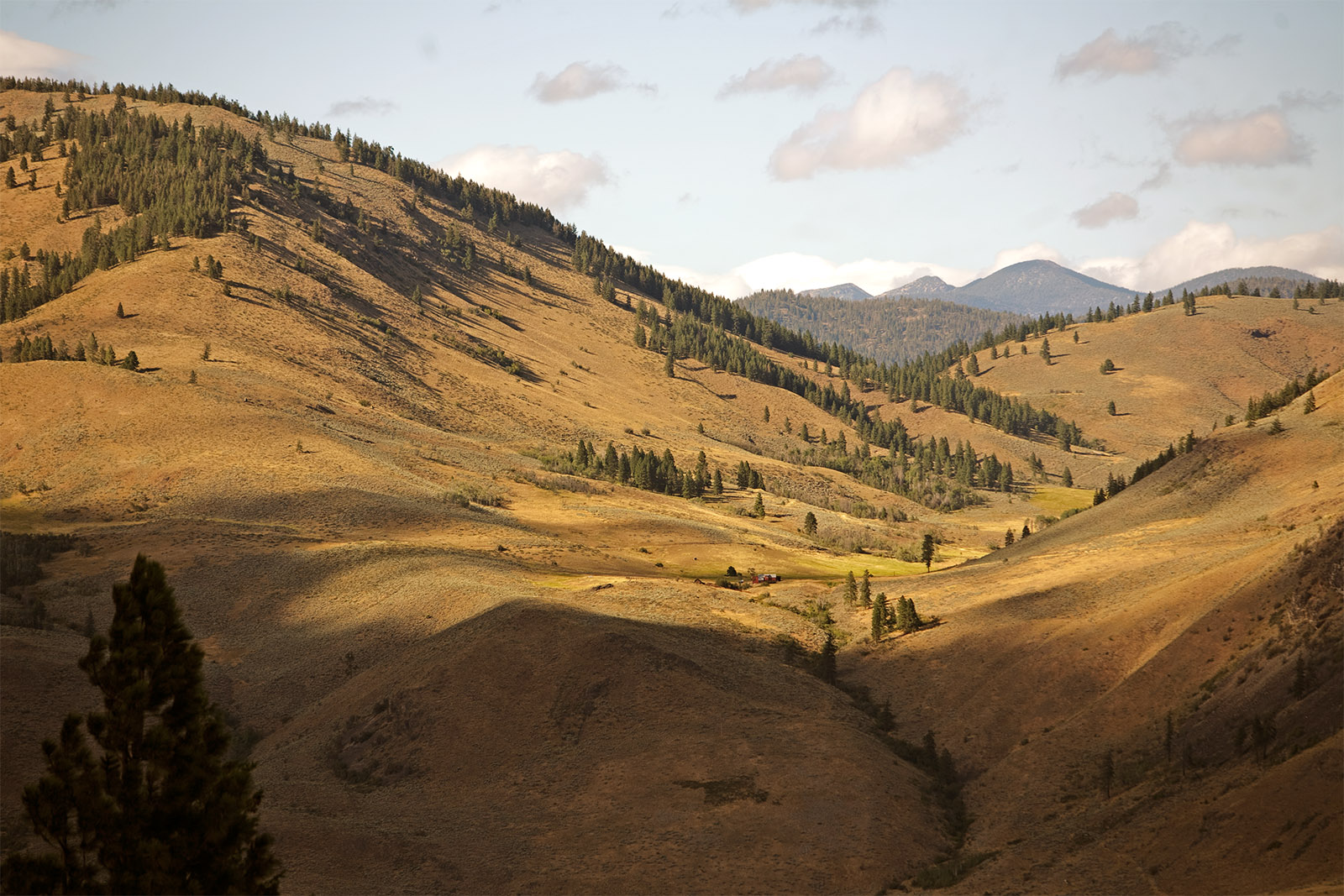
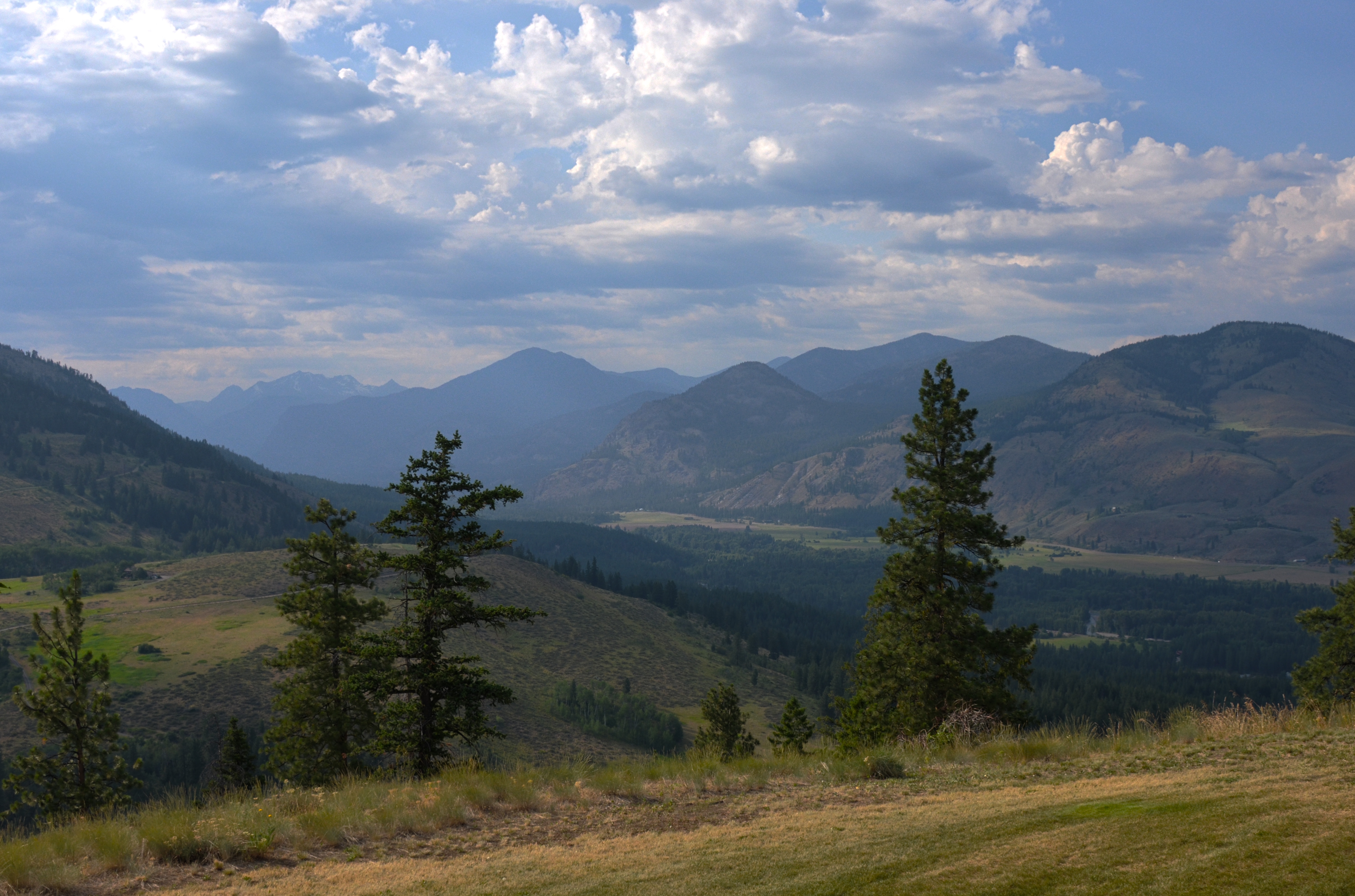
Methow Valley
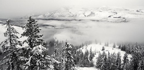
Sun Mnt Fog
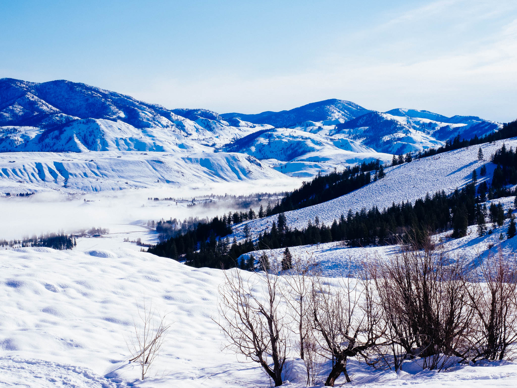
The Morning View

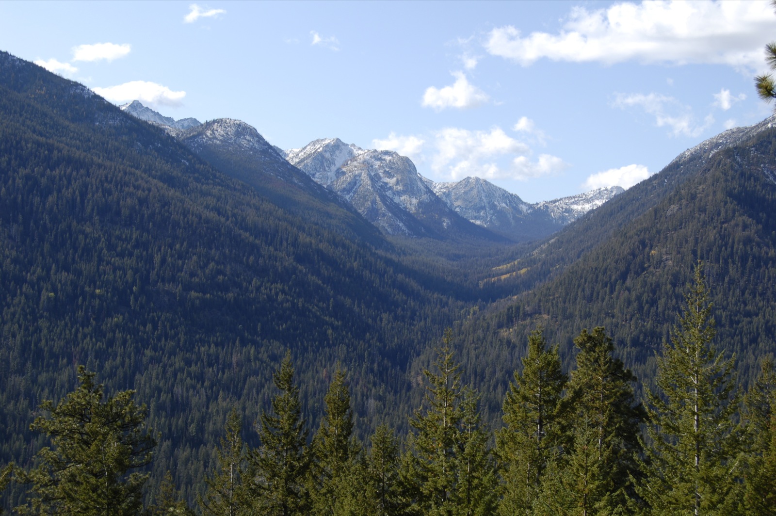
Methow Valley

Sunset in the Cascades

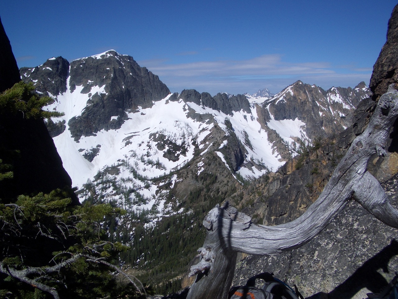
Great views from the top
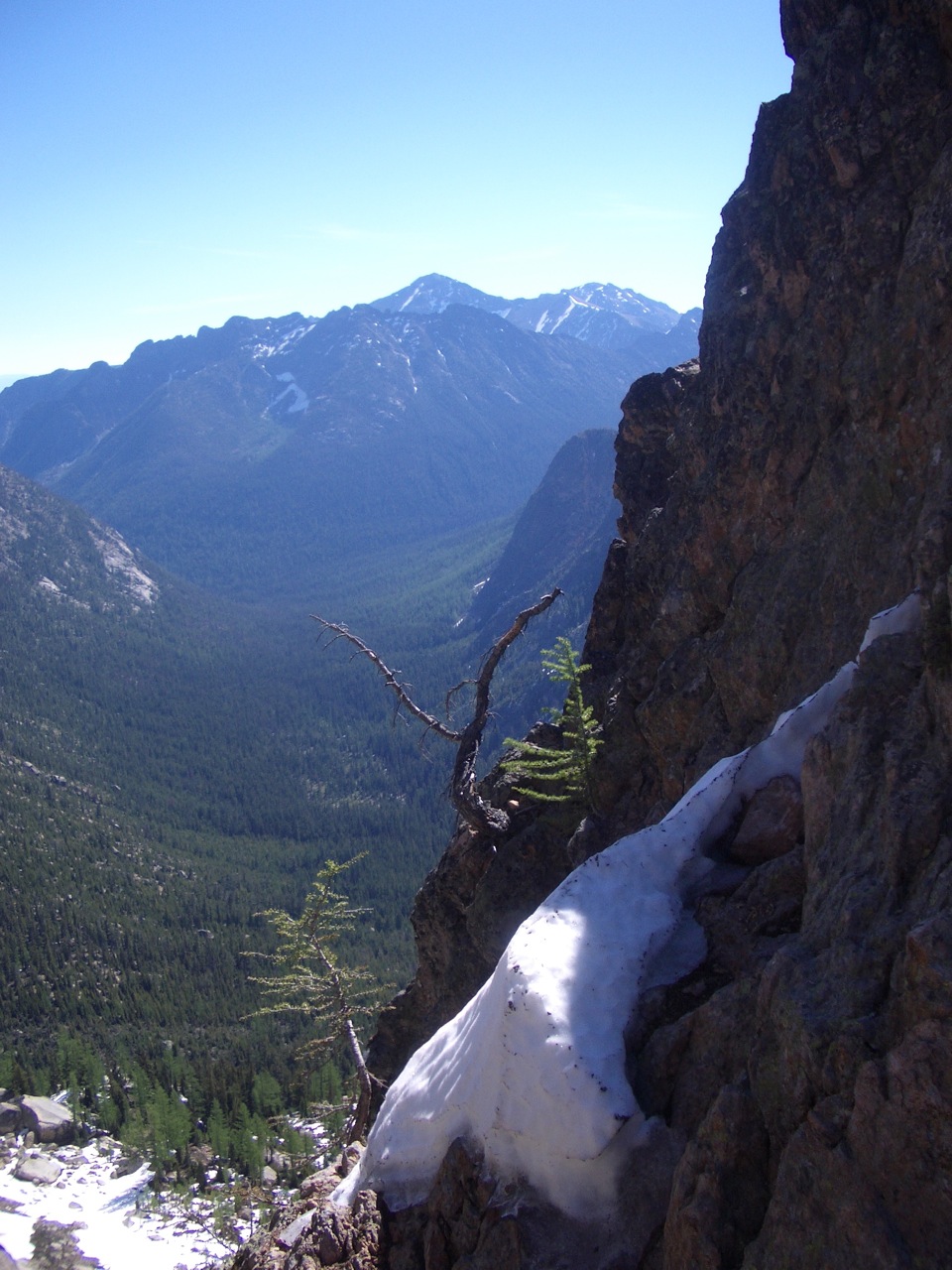
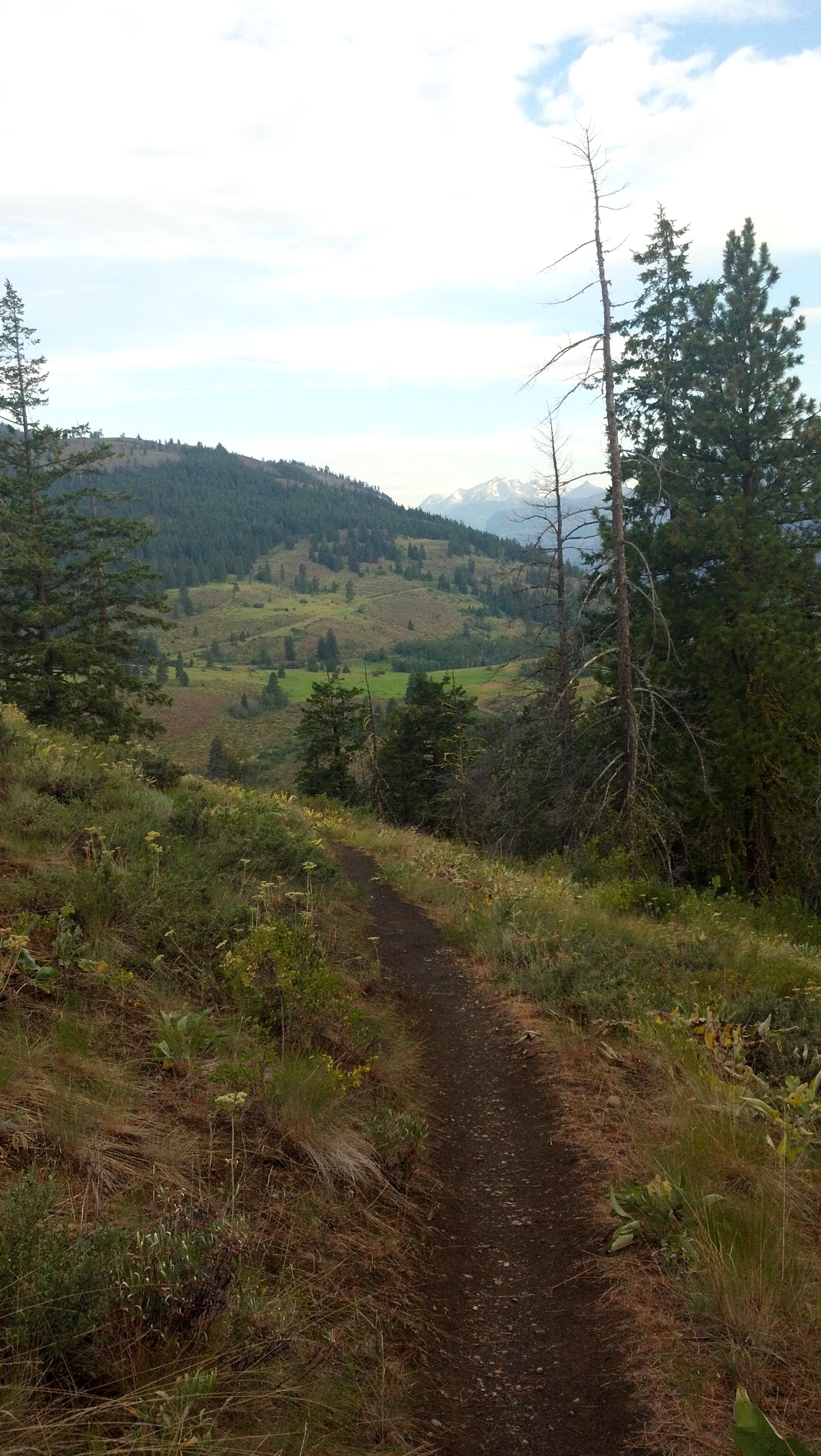
View into the Valley
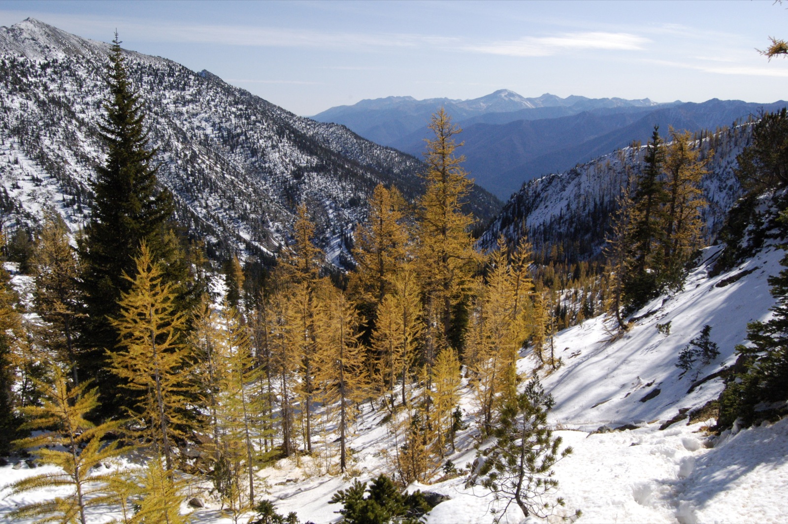
Golden Larch and a View

View from our campsite
Part of the view from the start of the climb
View from the base of the climb
View from Dad's balcony in the Gardner Building
View of Robinson Mountain from the Kraule Trail
Topographic Map of Midnight Mountain, Washington, USA
Find elevation by address:

Places near Midnight Mountain, Washington, USA:
Abernathy Ridge
South Creek Campground
Abernathy Peak
Scaffold Ridge
Oval Peak
Battle Mountain
Gilbert Mountain
Buttermilk Ridge
Gray Peak
Mazama
Courtney Peak
Crescent Mountain
North Cascade Heli-skiing
Spirit Mountain
Splawn Mountain
Early Winters Creek
Star Peak
Sun Mountain Lodge
604 Patterson Lake Rd
Baldy Mountain
Recent Searches:
- Elevation of Corso Fratelli Cairoli, 35, Macerata MC, Italy
- Elevation of Tallevast Rd, Sarasota, FL, USA
- Elevation of 4th St E, Sonoma, CA, USA
- Elevation of Black Hollow Rd, Pennsdale, PA, USA
- Elevation of Oakland Ave, Williamsport, PA, USA
- Elevation of Pedrógão Grande, Portugal
- Elevation of Klee Dr, Martinsburg, WV, USA
- Elevation of Via Roma, Pieranica CR, Italy
- Elevation of Tavkvetili Mountain, Georgia
- Elevation of Hartfords Bluff Cir, Mt Pleasant, SC, USA