Elevation of Splawn Mountain, Washington, USA
Location: United States > Washington > Stehekin >
Longitude: -120.5609304
Latitude: 48.3156945
Elevation: 2209m / 7247feet
Barometric Pressure: 0KPa
Related Photos:

the view from the dock
views from lakeshore trail

leaving it all behind

Sunset at Middle Oval Lake
Round Lake Panorama

View from our campsite
The view west
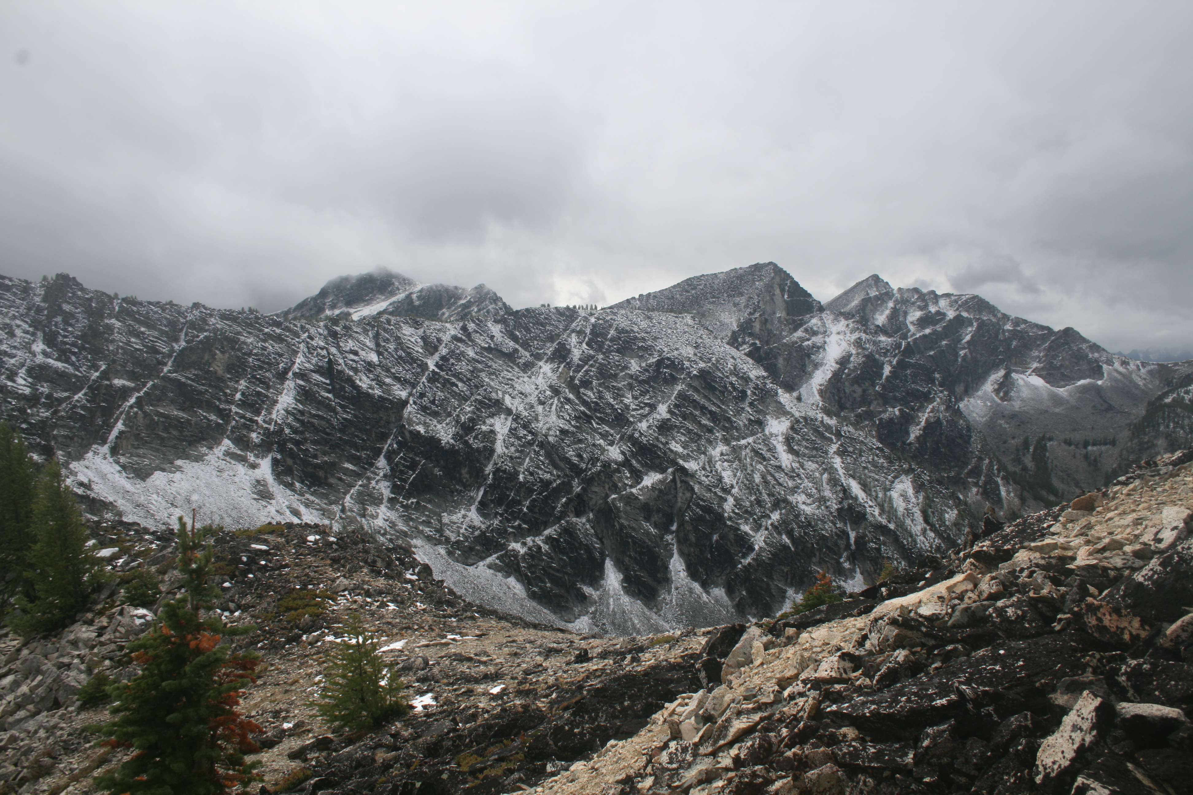
A view of Courtney on our way down
We lucked out and had some views on the saddle south of Oval

Lady of the Lake
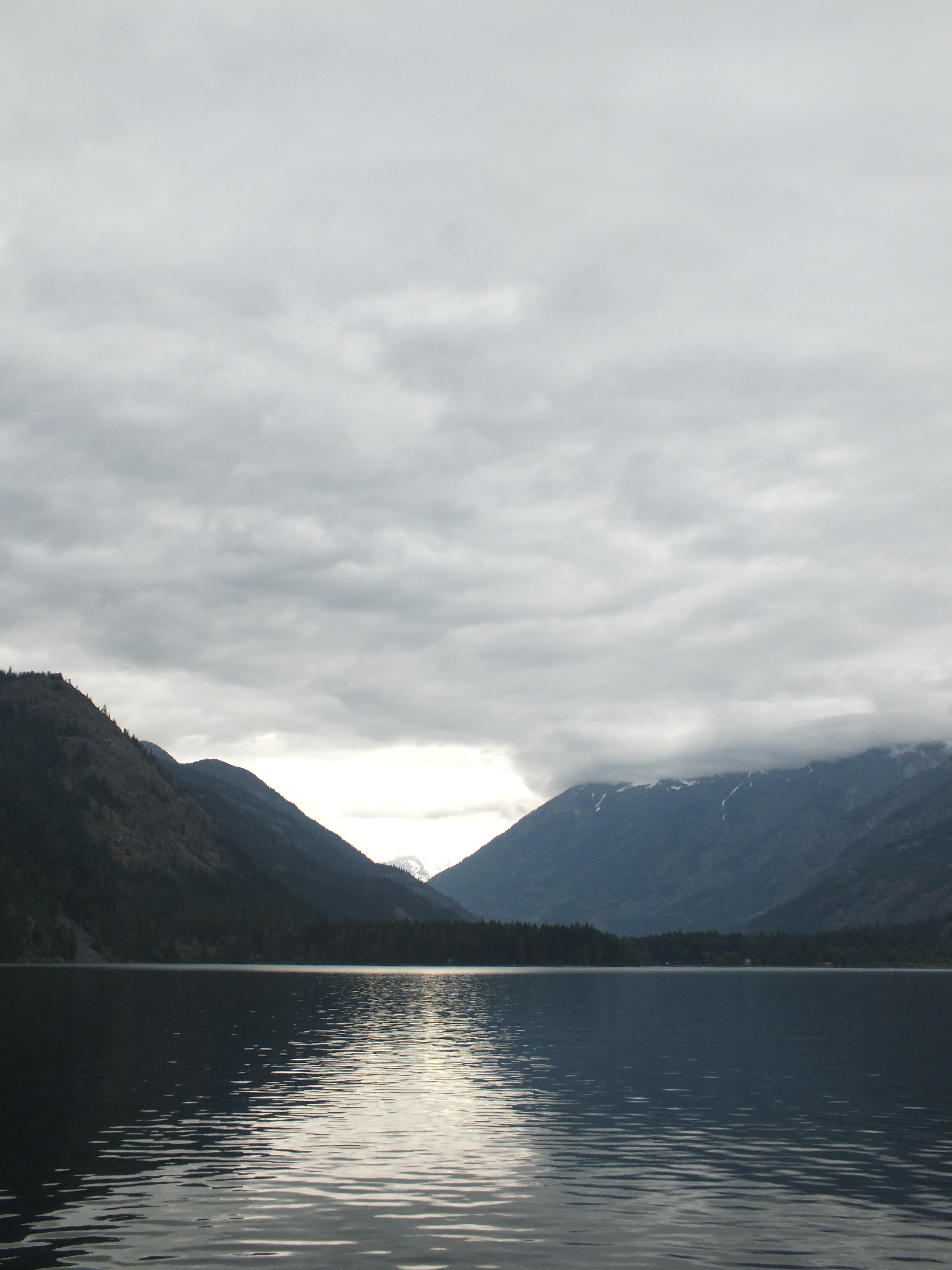
Lady of the Lake
Topographic Map of Splawn Mountain, Washington, USA
Find elevation by address:

Places near Splawn Mountain, Washington, USA:
Boulder Butte
Moore Mountain
Purple Mountain
Battle Mountain
1 Lakeshore Trail, Stehekin, WA, USA
Stehekin
Gray Peak
Mcalester Mountain
South Creek Campground
Baldy Mountain
Courtney Peak
Crescent Mountain
Buttermilk Ridge
Oval Peak
Finney Peak
Skookum Puss Mountain
Rainbow Falls Picnic Area
Star Peak
Scaffold Ridge
Rainbow Ridge East
Recent Searches:
- Elevation map of Litang County, Sichuan, China
- Elevation map of Madoi County, Qinghai, China
- Elevation of 3314, Ohio State Route 114, Payne, Paulding County, Ohio, 45880, USA
- Elevation of Sarahills Drive, Saratoga, Santa Clara County, California, 95070, USA
- Elevation of Town of Bombay, Franklin County, New York, USA
- Elevation of 9, Convent Lane, Center Moriches, Suffolk County, New York, 11934, USA
- Elevation of Saint Angelas Convent, 9, Convent Lane, Center Moriches, Suffolk County, New York, 11934, USA
- Elevation of 131st Street Southwest, Mukilteo, Snohomish County, Washington, 98275, USA
- Elevation of 304, Harrison Road, Naples, Cumberland County, Maine, 04055, USA
- Elevation of 2362, Timber Ridge Road, Harrisburg, Cabarrus County, North Carolina, 28075, USA
- Elevation of Ridge Road, Marshalltown, Marshall County, Iowa, 50158, USA
- Elevation of 2459, Misty Shadows Drive, Pigeon Forge, Sevier County, Tennessee, 37862, USA
- Elevation of 8043, Brightwater Way, Spring Hill, Williamson County, Tennessee, 37179, USA
- Elevation of Starkweather Road, San Luis, Costilla County, Colorado, 81152, USA
- Elevation of 5277, Woodside Drive, Baton Rouge, East Baton Rouge Parish, Louisiana, 70808, USA
- Elevation of 1139, Curtin Street, Shepherd Park Plaza, Houston, Harris County, Texas, 77018, USA
- Elevation of 136, Sellers Lane, Repton, Monroe County, Alabama, 36475, USA
- Elevation of 12914, Elmington Drive, Lakewood Forest, Houston, Harris County, Texas, 77429, USA
- Elevation of 417, Camelot Drive, Statesville, Iredell County, North Carolina, 28625, USA
- Elevation of 5792, Wildridge Road, Avon, Eagle County, Colorado, 81620, USA