Elevation of Gray Peak, Washington, USA
Location: United States > Washington > Twisp >
Longitude: -120.46426
Latitude: 48.267363
Elevation: 2429m / 7969feet
Barometric Pressure: 75KPa
Elevation Map:
Satellite Map:
Related Photos:
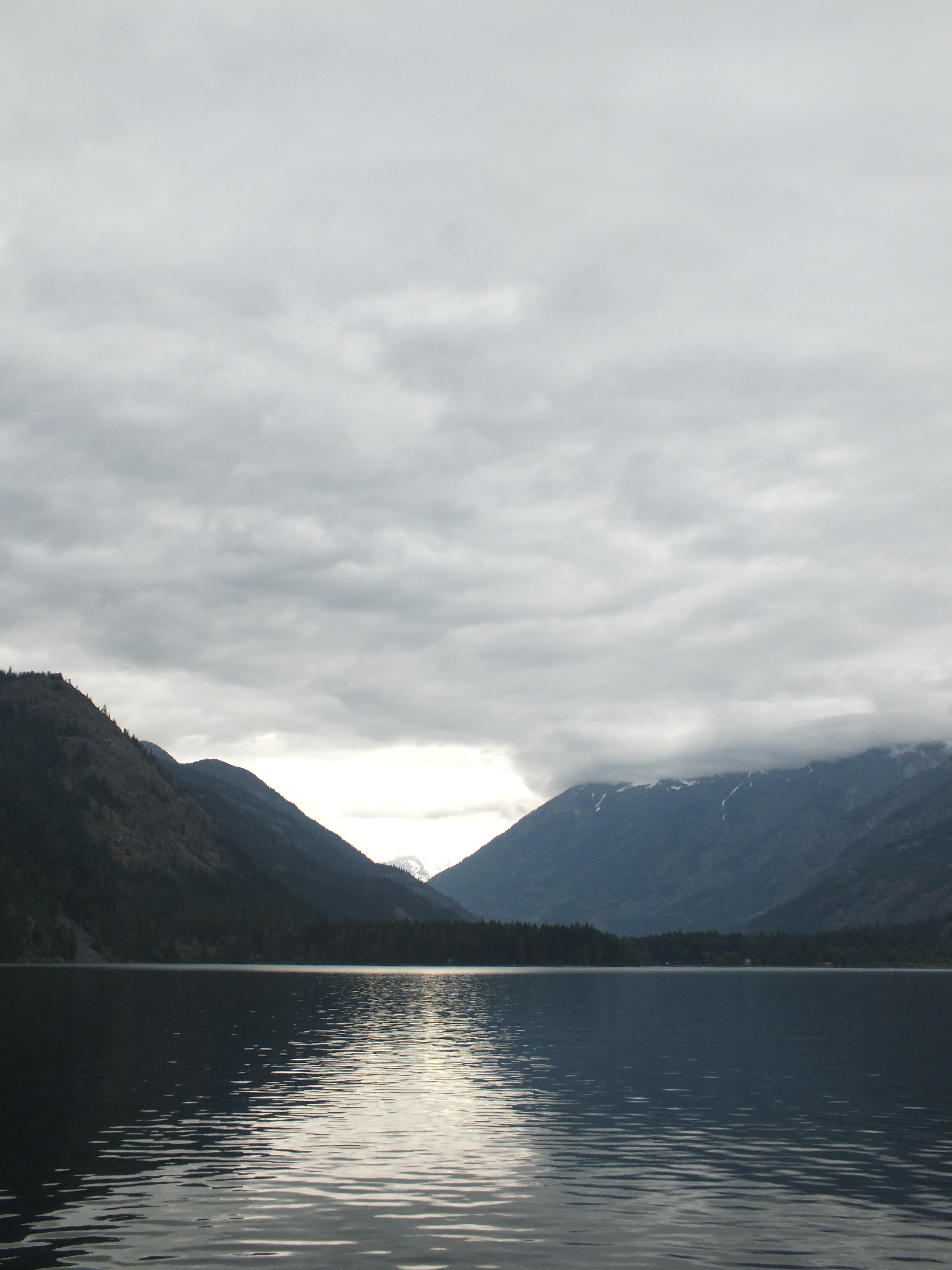
the view from the dock
views from lakeshore trail
leaving it all behind

Sunset at Middle Oval Lake
Round Lake Panorama

Lady of the Lake
Lady of the Lake
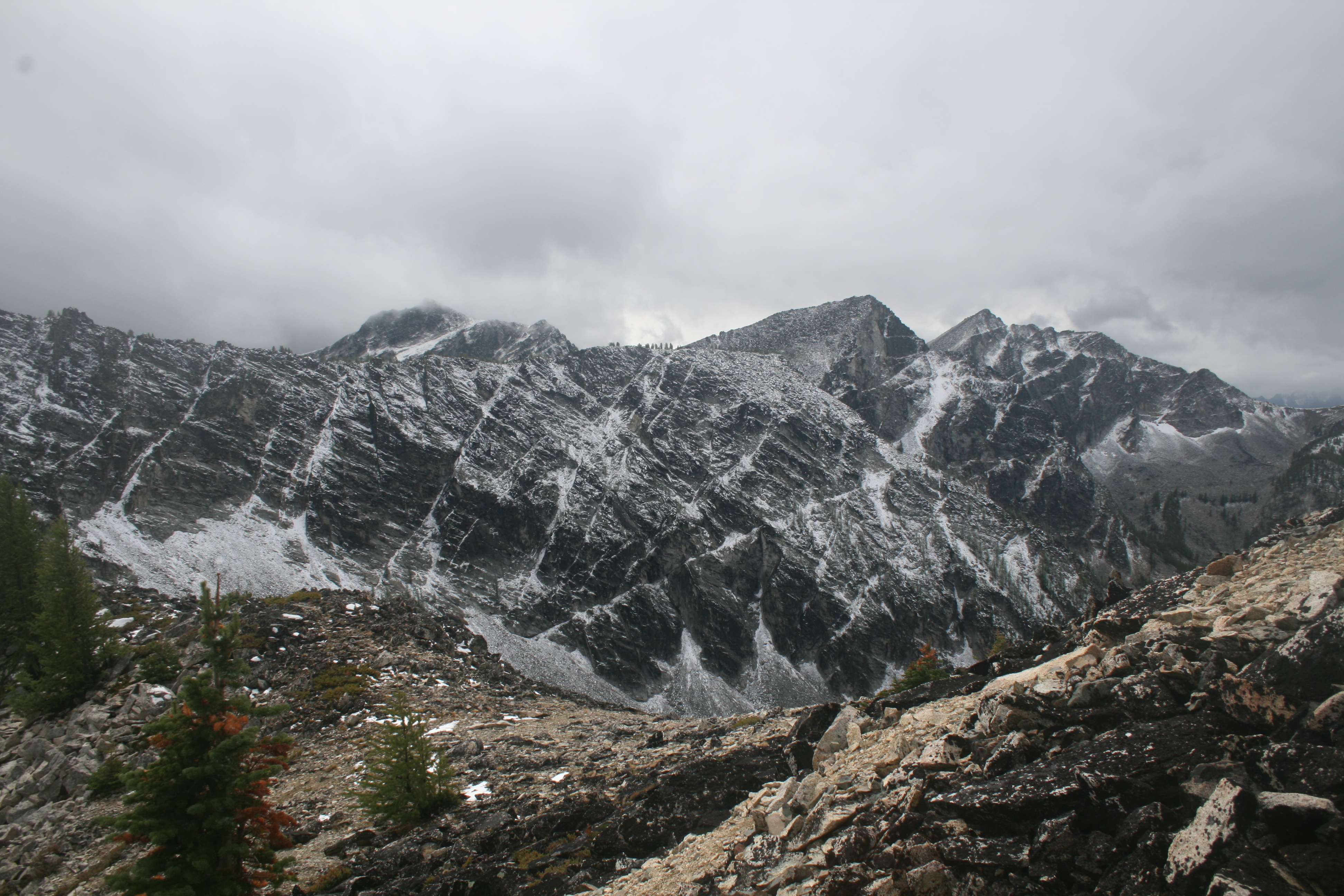
The view west
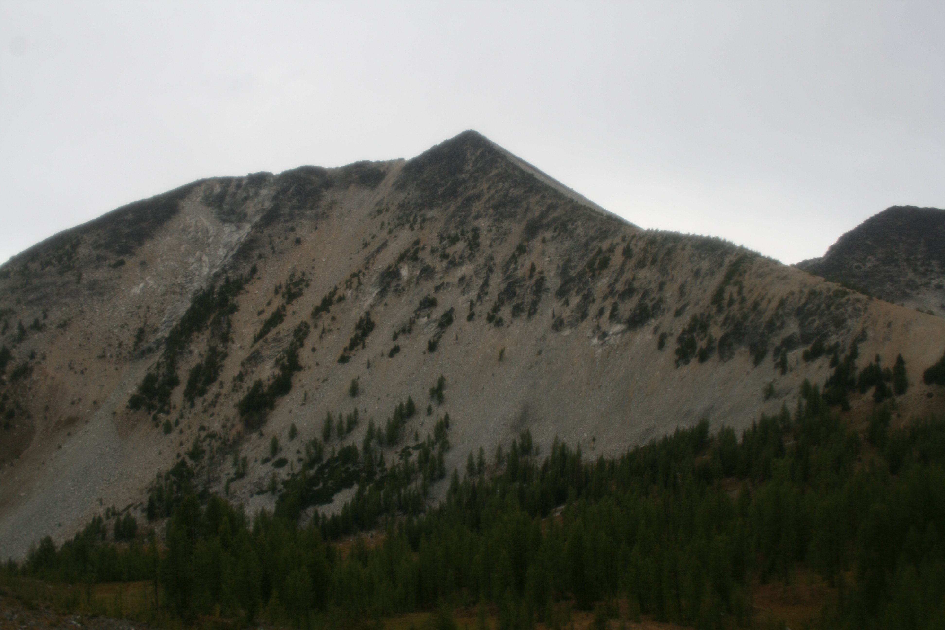
A view of Courtney on our way down
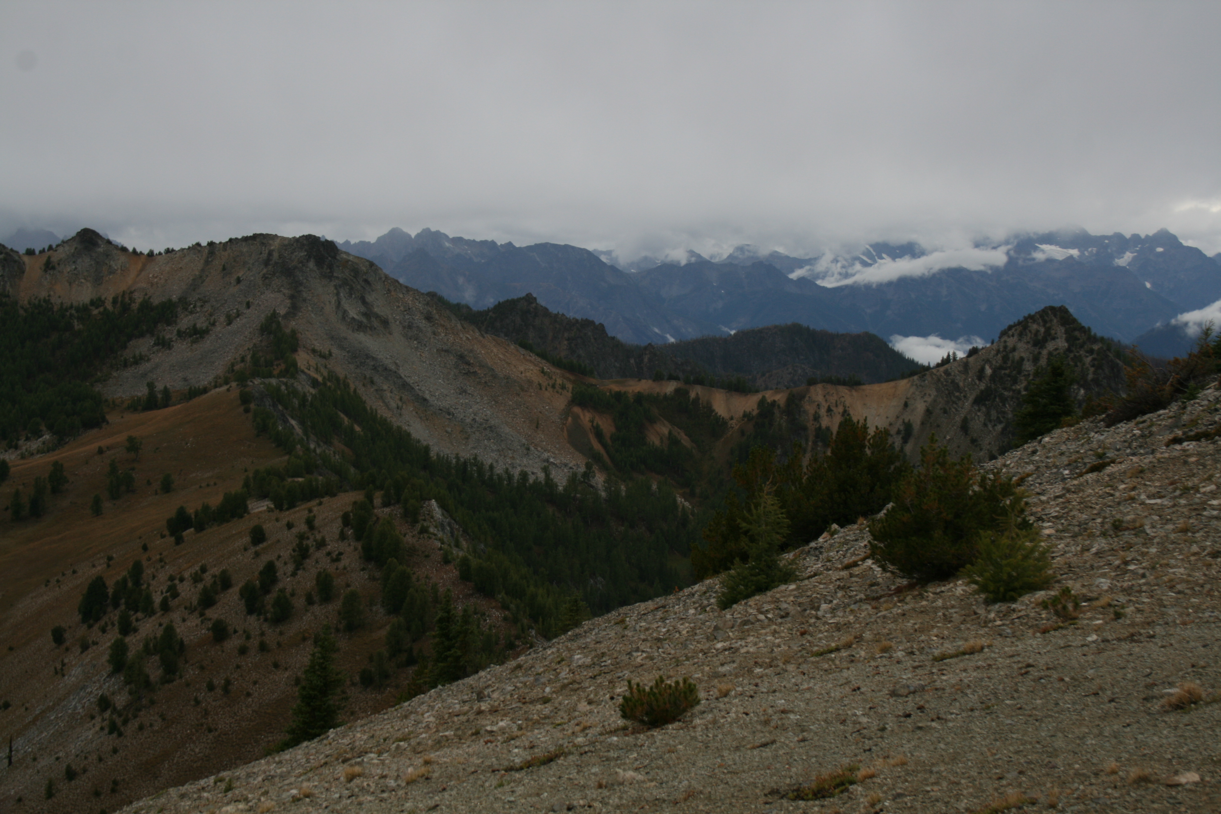
We lucked out and had some views on the saddle south of Oval
Topographic Map of Gray Peak, Washington, USA
Find elevation by address:

Places near Gray Peak, Washington, USA:
Courtney Peak
Buttermilk Ridge
Baldy Mountain
Battle Mountain
Star Peak
Oval Peak
Finney Peak
Scaffold Ridge
Skookum Puss Mountain
Spirit Mountain
Moore Mountain
Splawn Mountain
Old Maid Mountain
Hoodoo Peak
Raven Ridge
Vie Mountain
Boulder Butte
Ferry Peak
Purple Mountain
Midnight Mountain
Recent Searches:
- Elevation of Groblershoop, South Africa
- Elevation of Power Generation Enterprises | Industrial Diesel Generators, Oak Ave, Canyon Country, CA, USA
- Elevation of Chesaw Rd, Oroville, WA, USA
- Elevation of N, Mt Pleasant, UT, USA
- Elevation of 6 Rue Jules Ferry, Beausoleil, France
- Elevation of Sattva Horizon, 4JC6+G9P, Vinayak Nagar, Kattigenahalli, Bengaluru, Karnataka, India
- Elevation of Great Brook Sports, Gold Star Hwy, Groton, CT, USA
- Elevation of 10 Mountain Laurels Dr, Nashua, NH, USA
- Elevation of 16 Gilboa Ln, Nashua, NH, USA
- Elevation of Laurel Rd, Townsend, TN, USA