Elevation of South Creek Campground, Winthrop, WA, United States
Location: United States > Washington > Winthrop >
Longitude: -120.53033
Latitude: 48.43871
Elevation: 967m / 3173feet
Barometric Pressure: 90KPa
Elevation Map:
Satellite Map:
Related Photos:

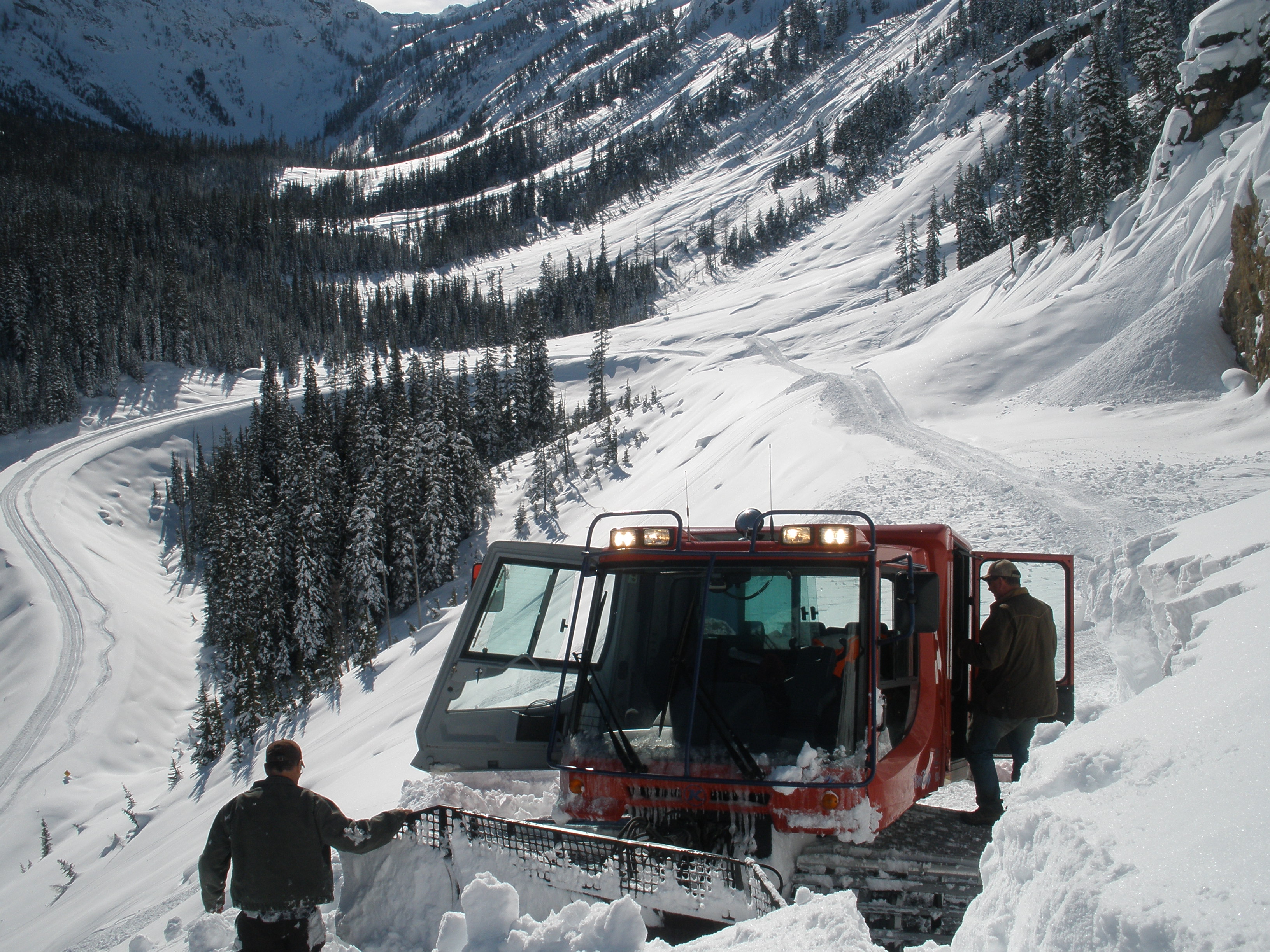
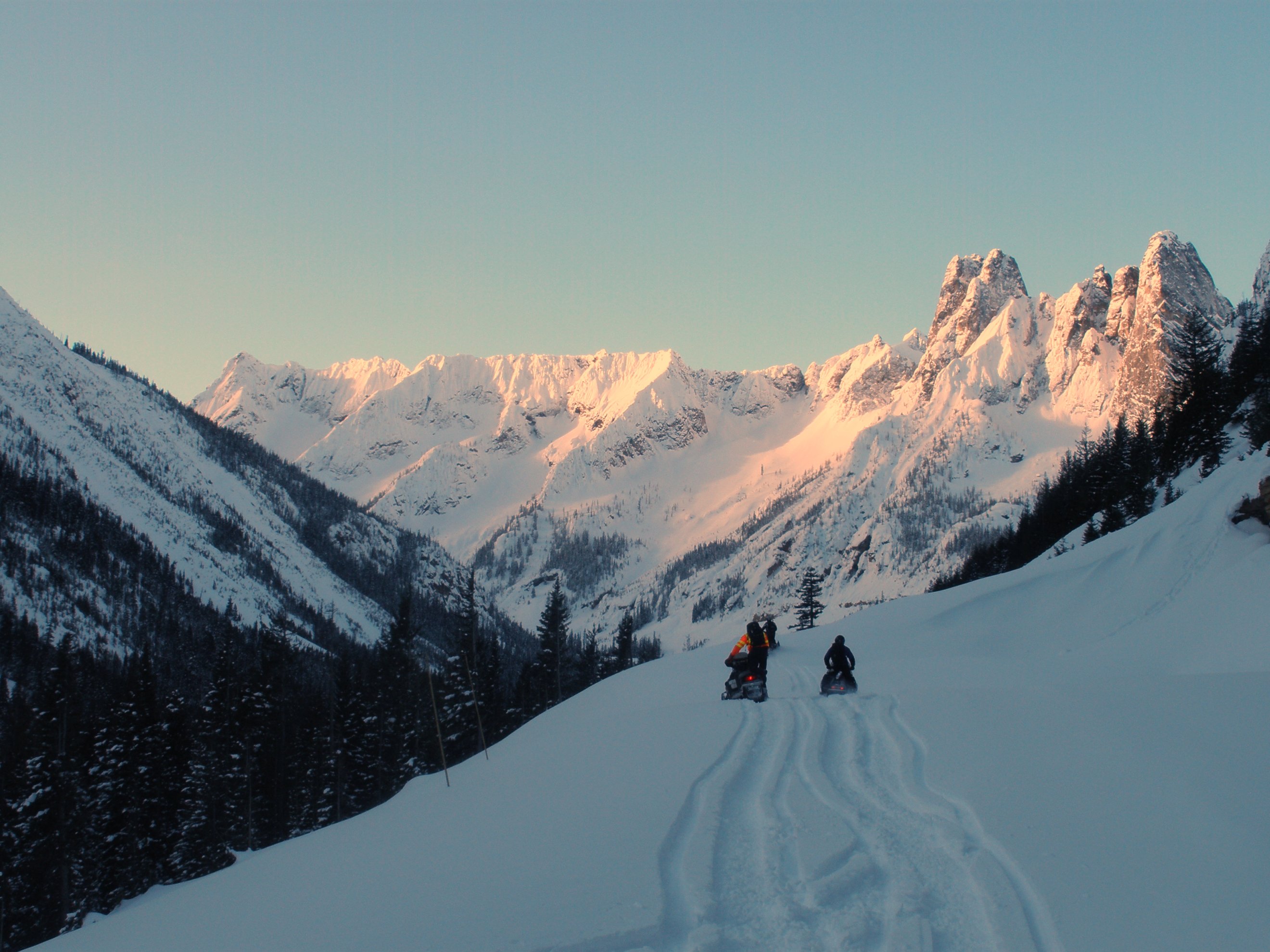
2015 - Washington State - North Cascade Mtns

Tamarack reflected Blue Lake

Avalanches on SR 20 below Liberty Bell

Blue Lake, tamarack, Cutthroat Pk

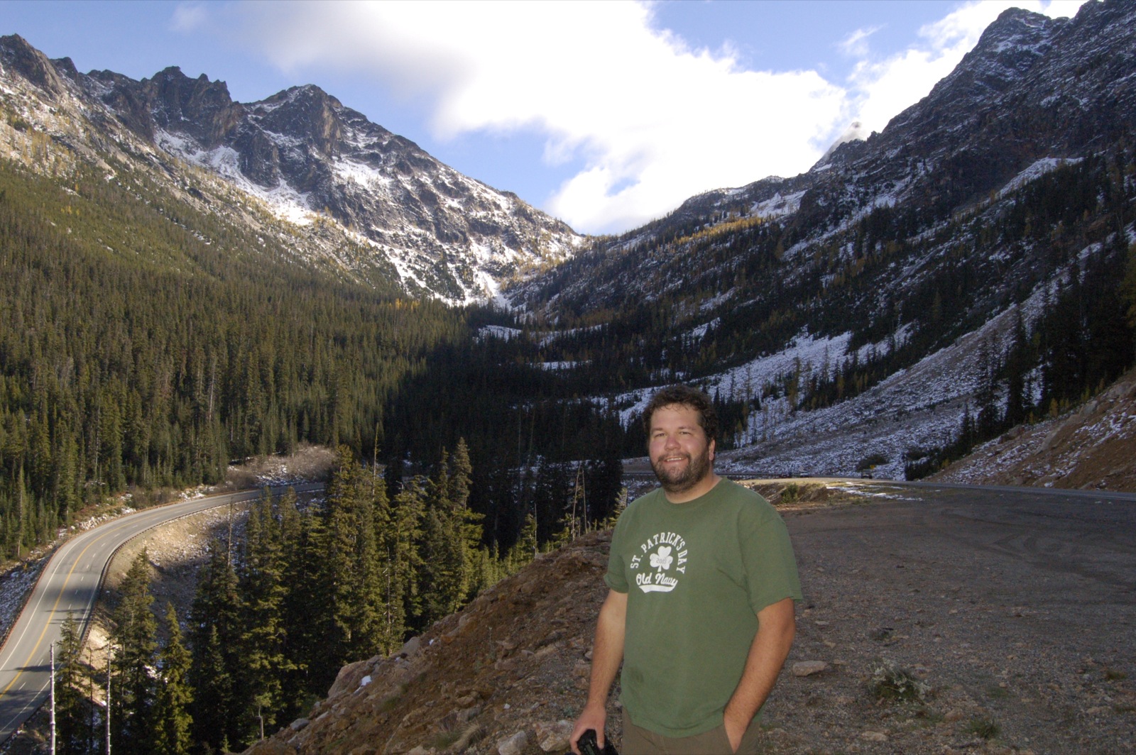
A nice view of the hairpin curve from the Liberty Bell avalanche zone

View from Blue Lake trail in Okanogan National Forest
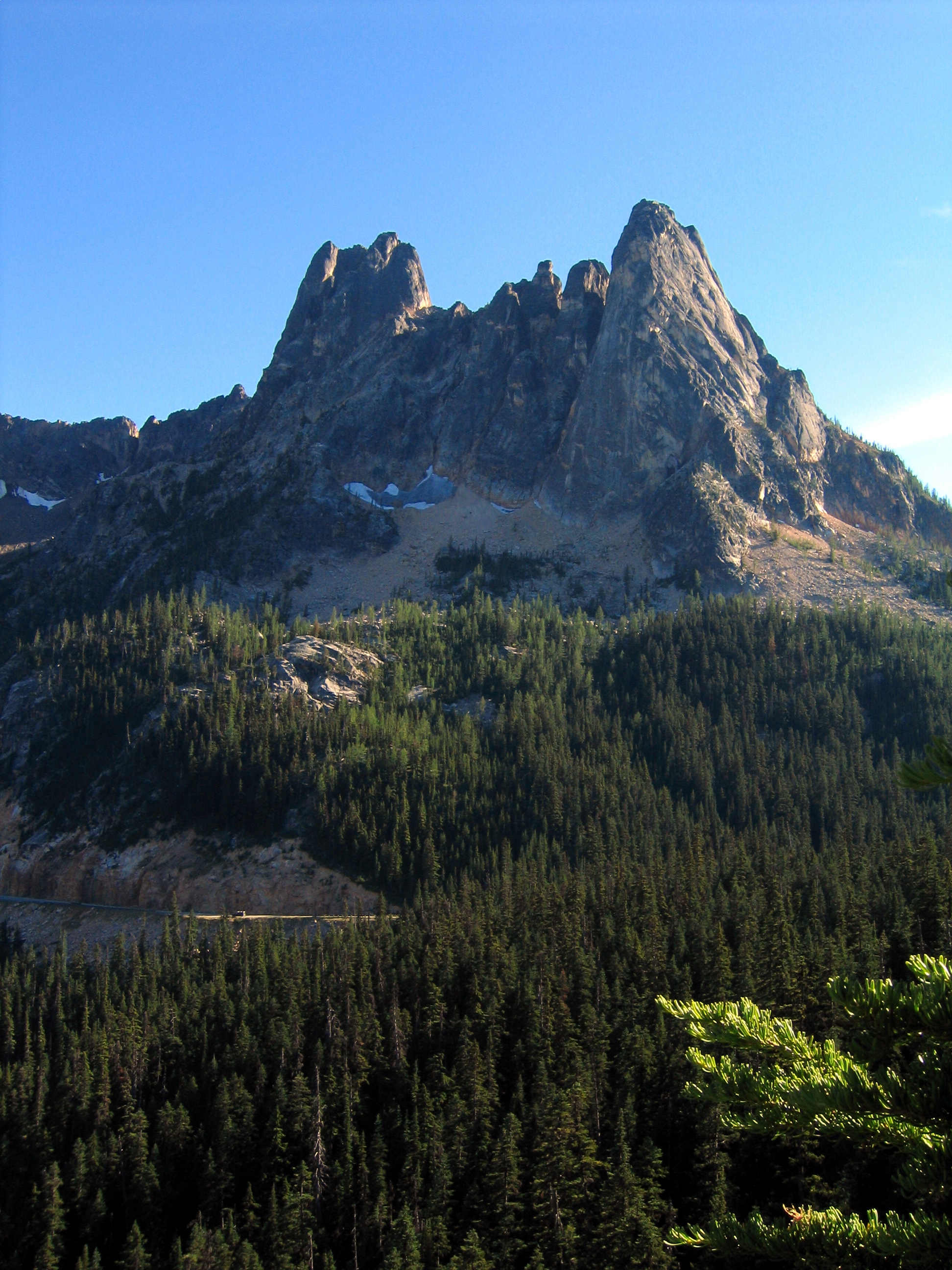
Liberty Bell Peak and Early Winter Spires
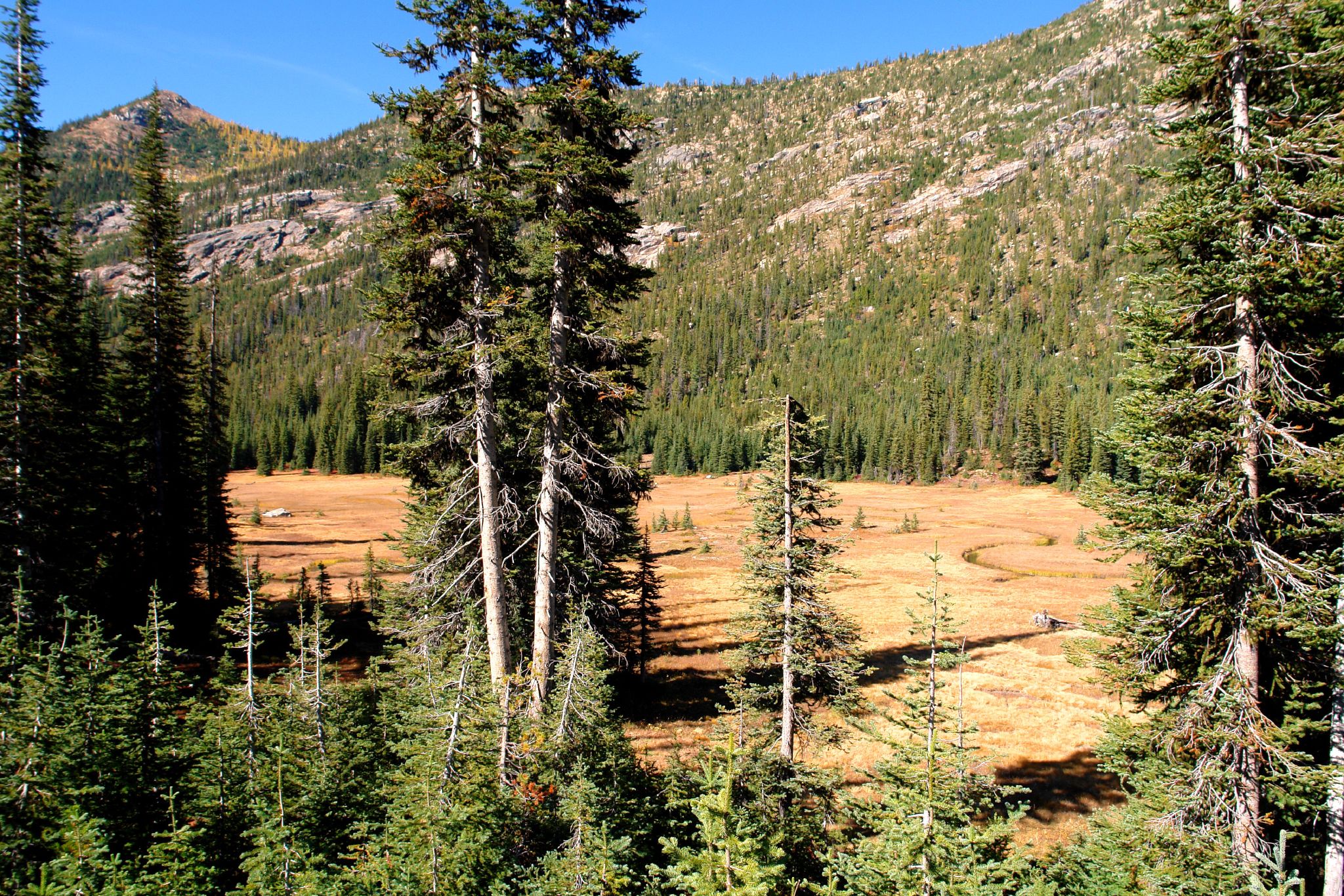
Meandering Creek (wide view)
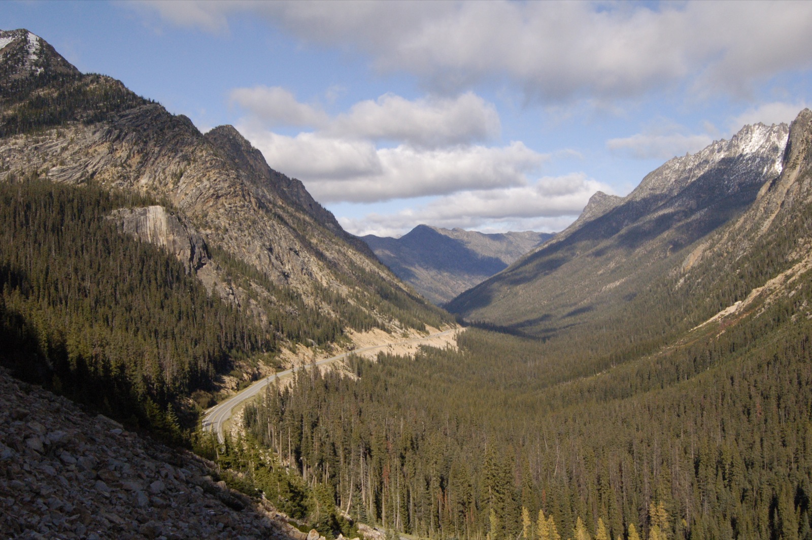
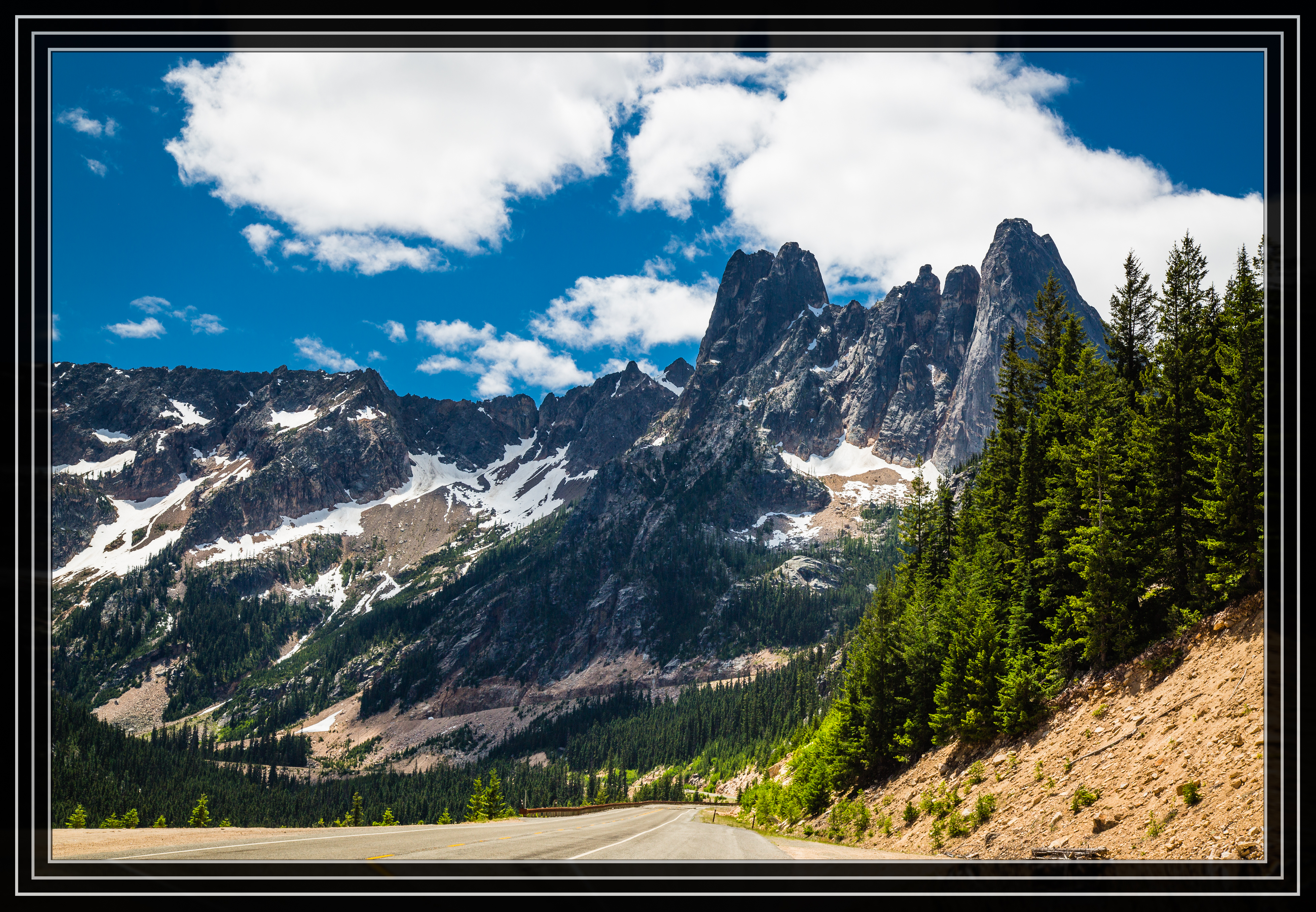
Washington Pass
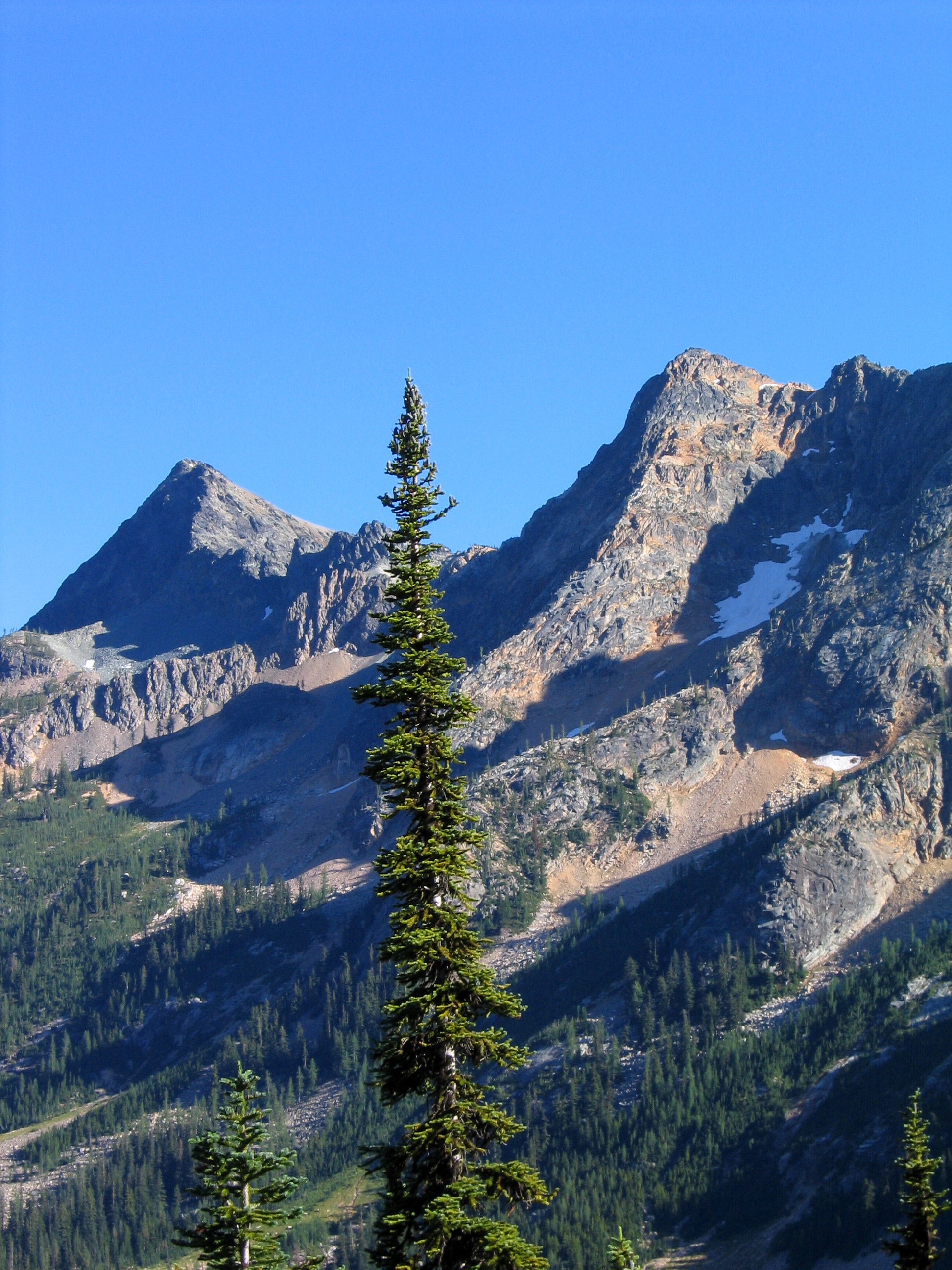
View From Washington Pass
Trailjunky and a Larchy View
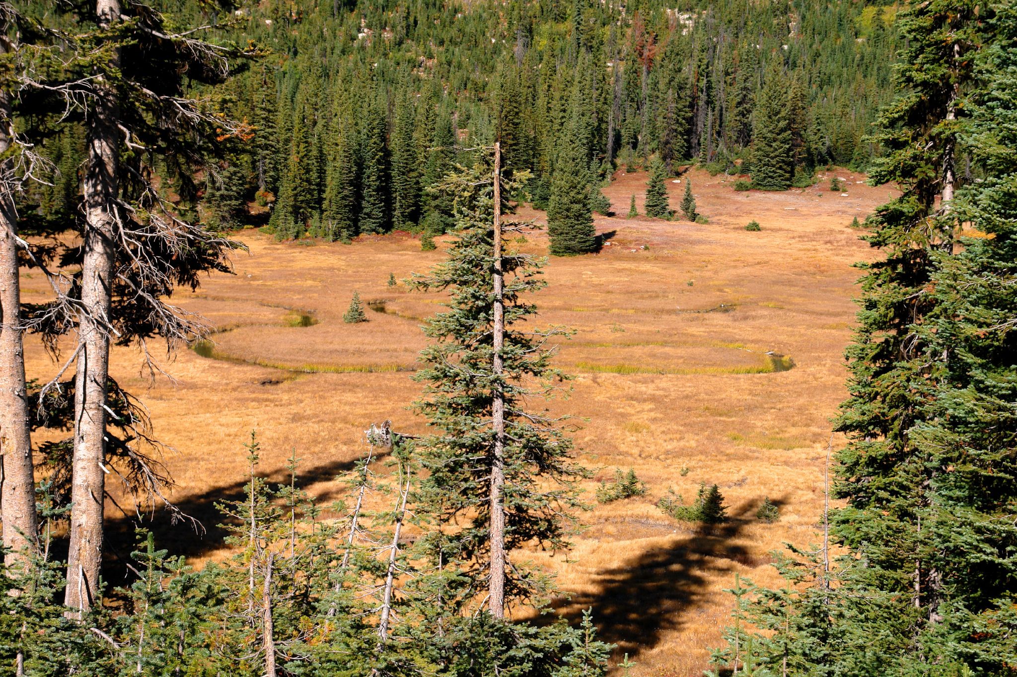
Meandering Creek
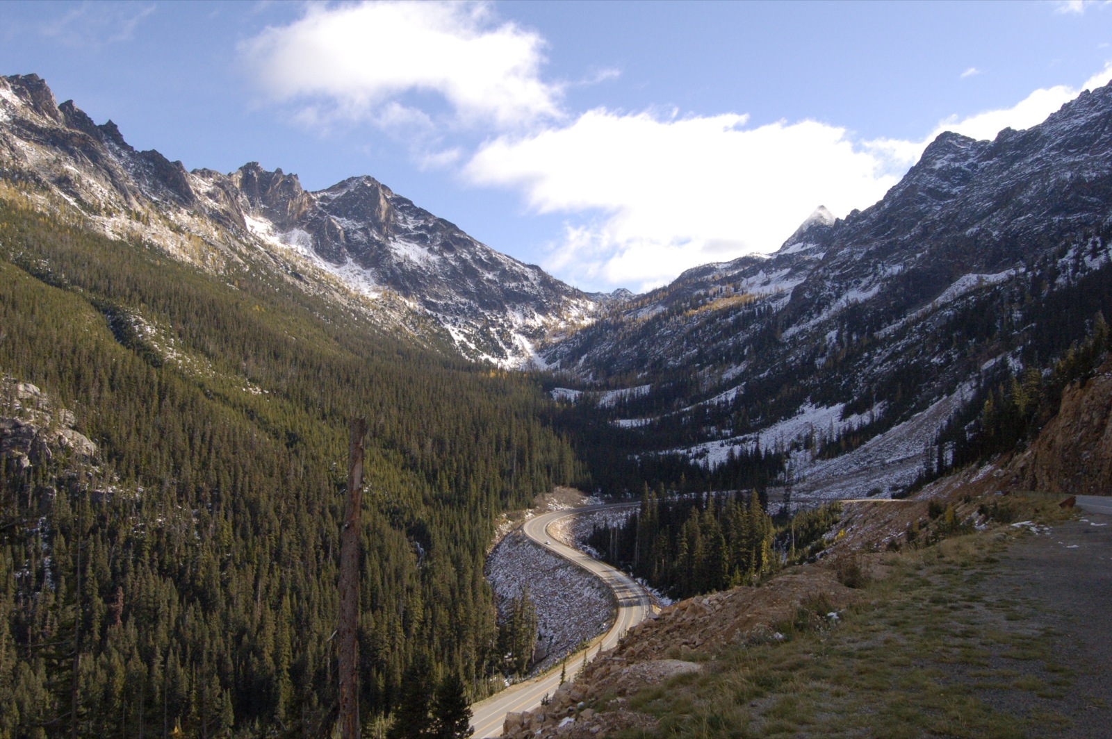
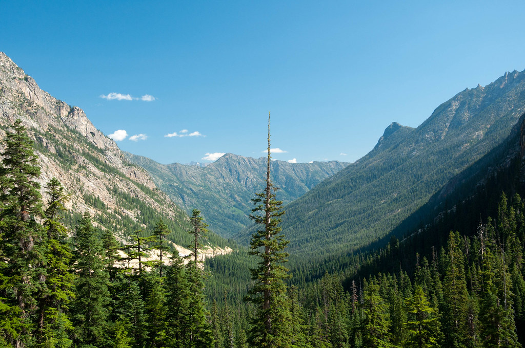
View From Highway 20
View of the Valley and Highway 20
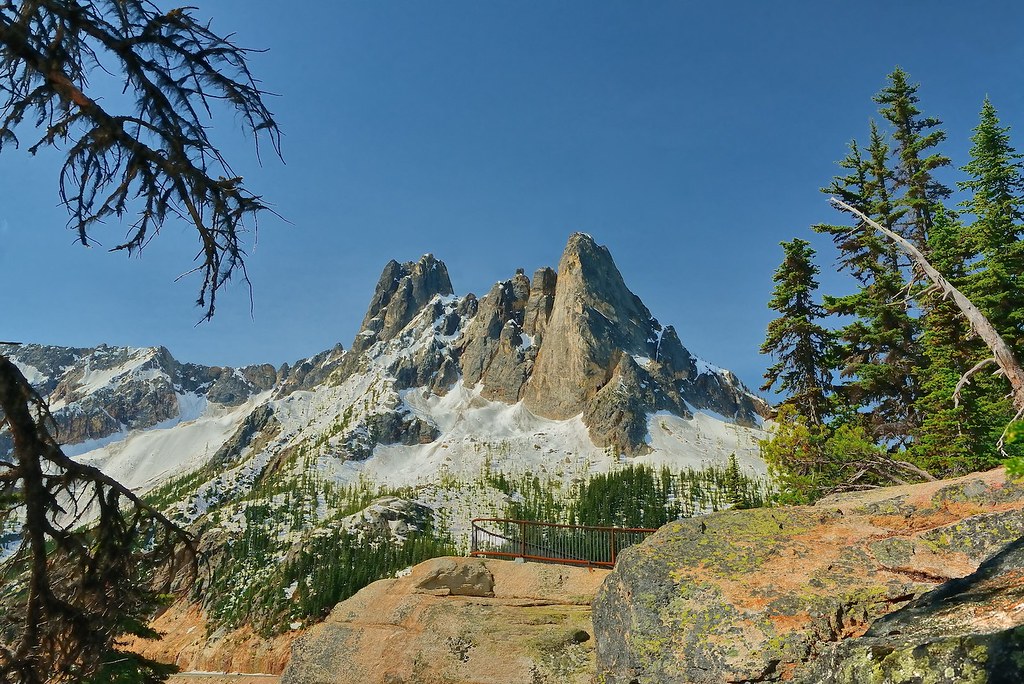
Liberty Bell Peaks
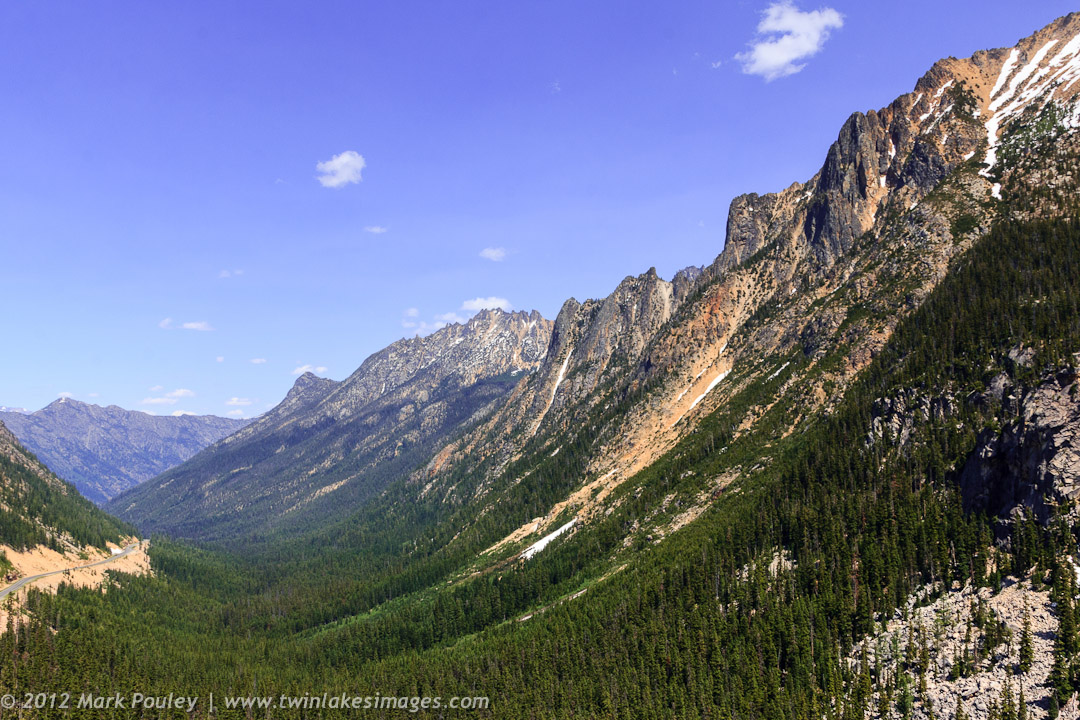
North Cascade Highway
Early Winters South Spires
Washington Pass, North Cascades National Park

Avalanches on SR 20 below Liberty Bell
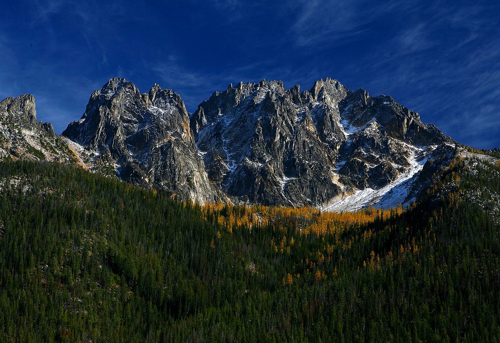
The view from Liberty Bell 3 towards Liberty Bell 1 and 2
North Cascades Highway - Snow 20 feet deep at Cutthroat Ridge avalanche chutes 6, 7, 8
Topographic Map of South Creek Campground, Winthrop, WA, United States
Find elevation by address:

Places near South Creek Campground, Winthrop, WA, United States:
Abernathy Peak
Abernathy Ridge
Gilbert Mountain
Crescent Mountain
Midnight Mountain
Lincoln Butte
Snagtooth Ridge
Kangaroo Ridge
Twisp Mountain
Silver Star Mountain
Splawn Mountain
Early Winters Creek
Mcalester Mountain
Boulder Butte
Purple Mountain
Hock Mountain
Vasiliki Ridge
Stiletto Peak
Early Winters Spires South
Rainbow Ridge East
Recent Searches:
- Elevation of Corso Fratelli Cairoli, 35, Macerata MC, Italy
- Elevation of Tallevast Rd, Sarasota, FL, USA
- Elevation of 4th St E, Sonoma, CA, USA
- Elevation of Black Hollow Rd, Pennsdale, PA, USA
- Elevation of Oakland Ave, Williamsport, PA, USA
- Elevation of Pedrógão Grande, Portugal
- Elevation of Klee Dr, Martinsburg, WV, USA
- Elevation of Via Roma, Pieranica CR, Italy
- Elevation of Tavkvetili Mountain, Georgia
- Elevation of Hartfords Bluff Cir, Mt Pleasant, SC, USA