Elevation of Mazama, WA, USA
Location: United States > Washington >
Longitude: -120.40398
Latitude: 48.5920867
Elevation: 646m / 2119feet
Barometric Pressure: 94KPa
Elevation Map:
Satellite Map:
Related Photos:

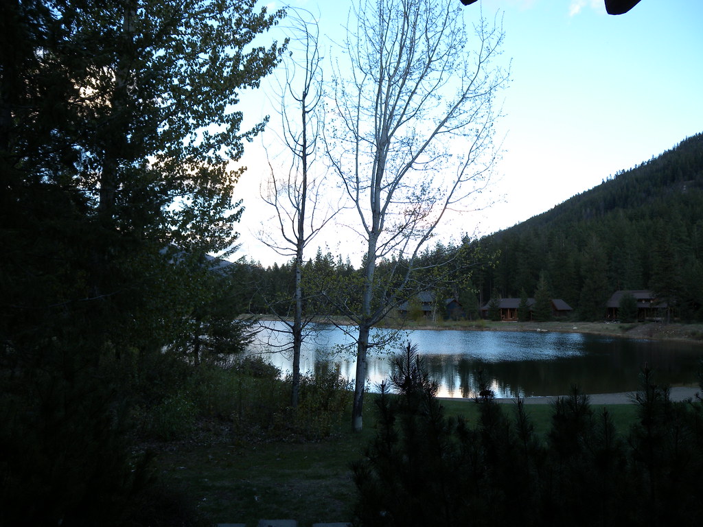
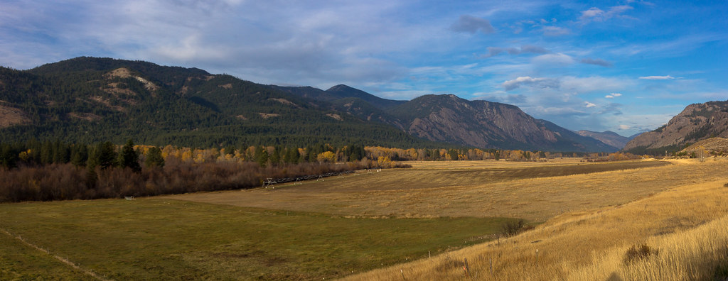
Methow Valley

Sun Mountain Lodge

Sun Mountain Lodge
freestone inn
Fall Colors in Mazama II

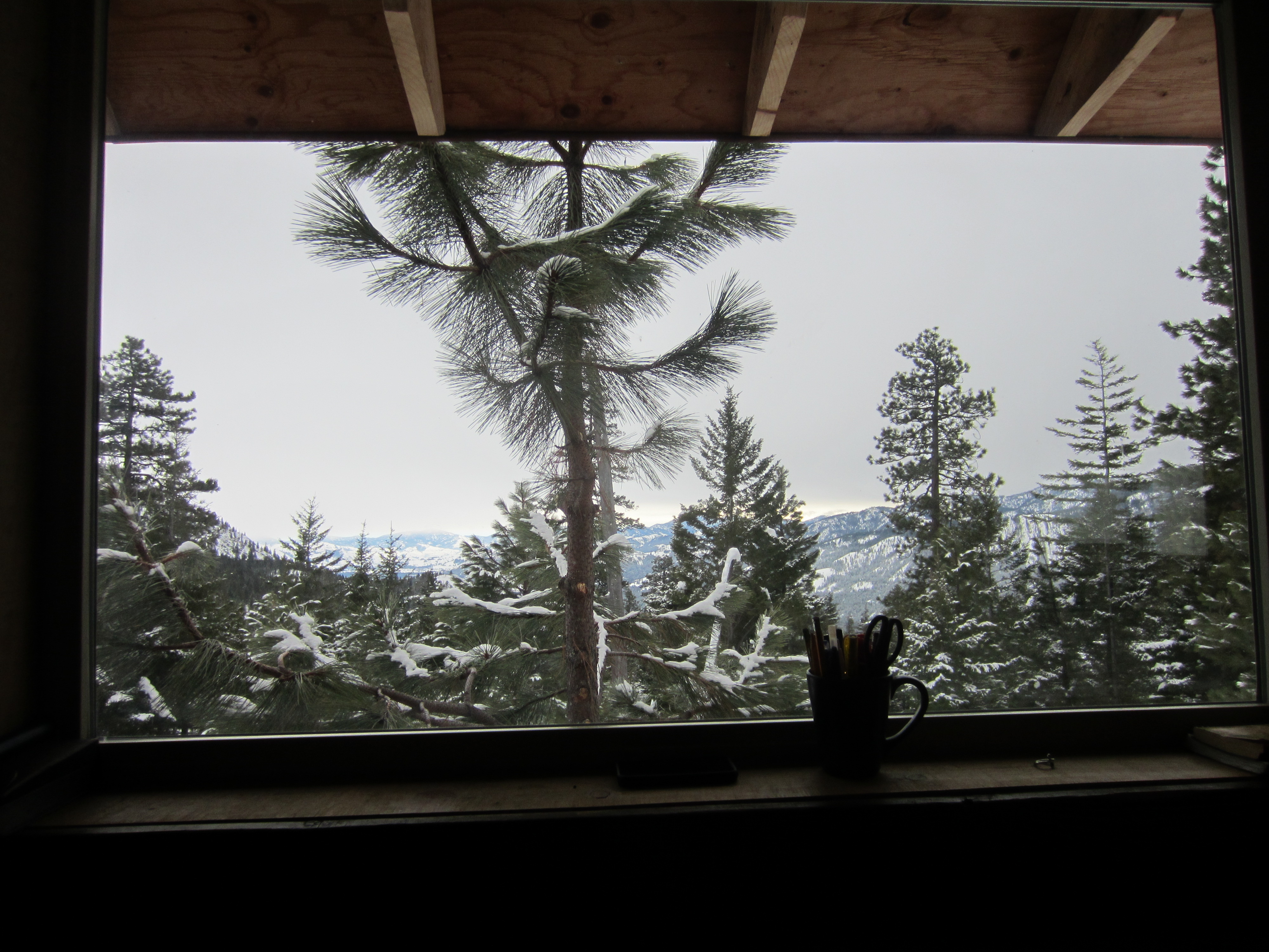
A room with a view
View towards Robinson at sunset

freestone inn
View from Rendezvous Hut, bluer skies

Checking out the view at lunch with Pargetter's help
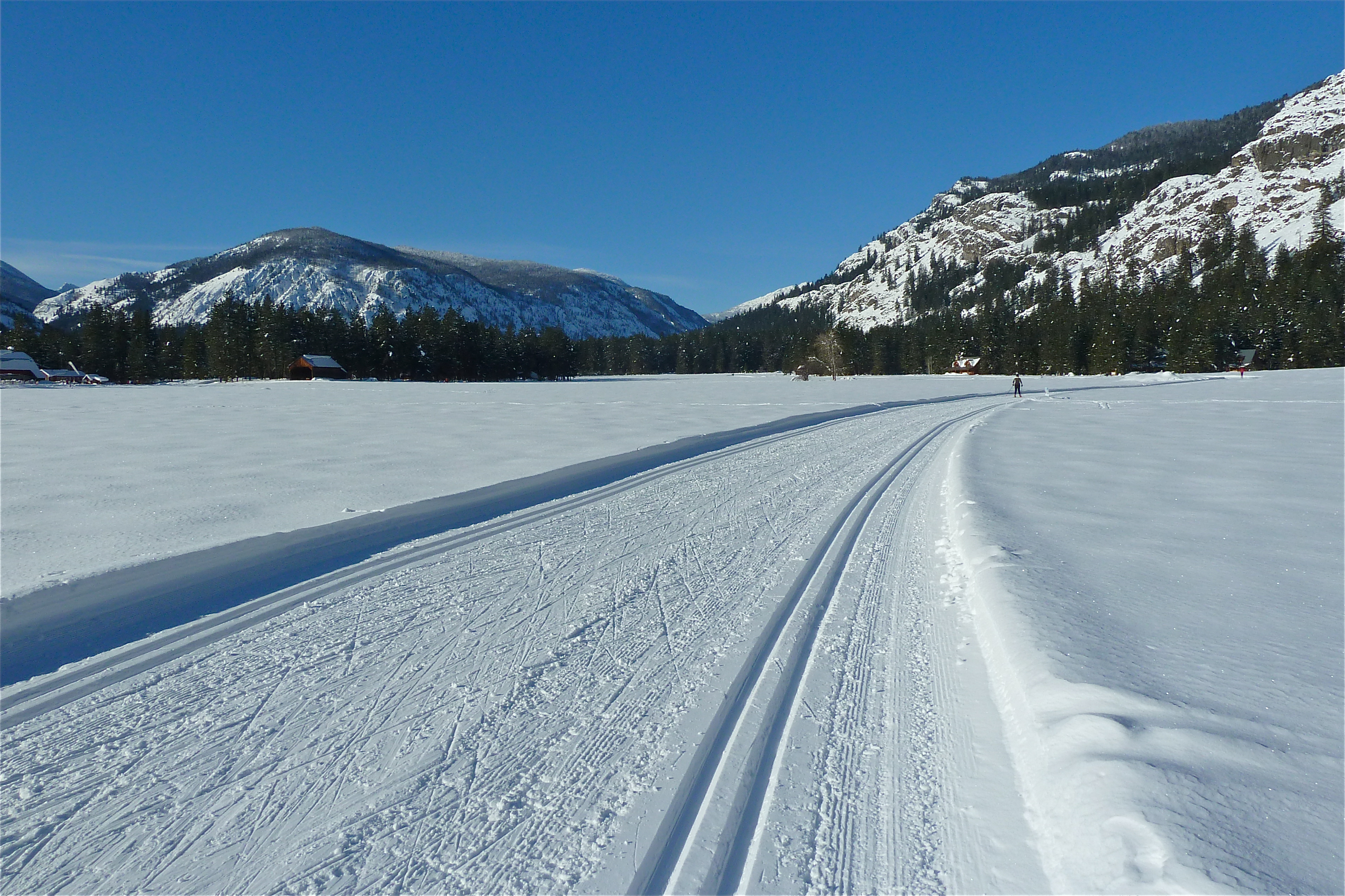
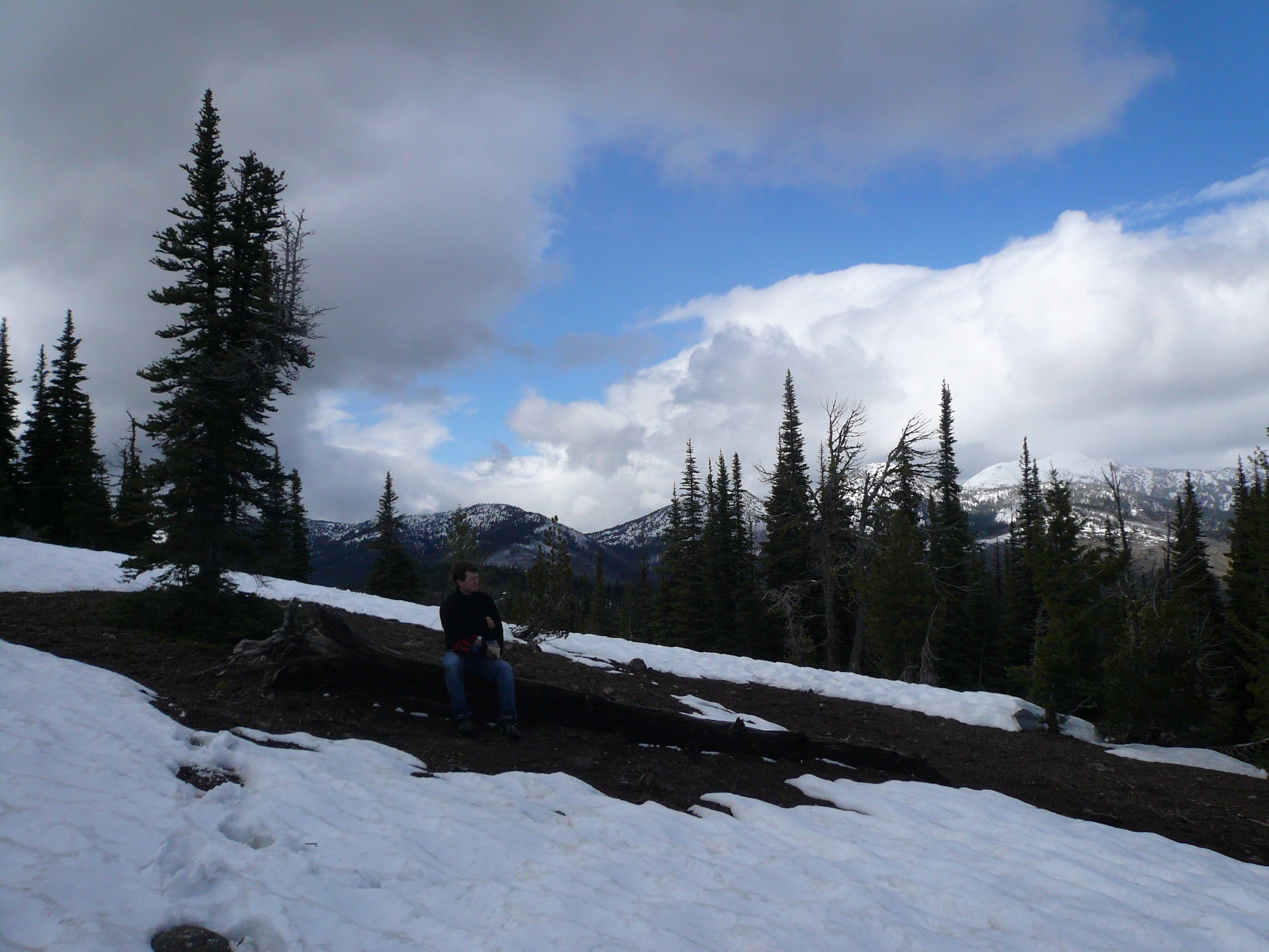
Ski View Near Mazama
View from Grizzly Hut

View west from camp

View from Rendezvous Hut, closeup 2
freestone inn
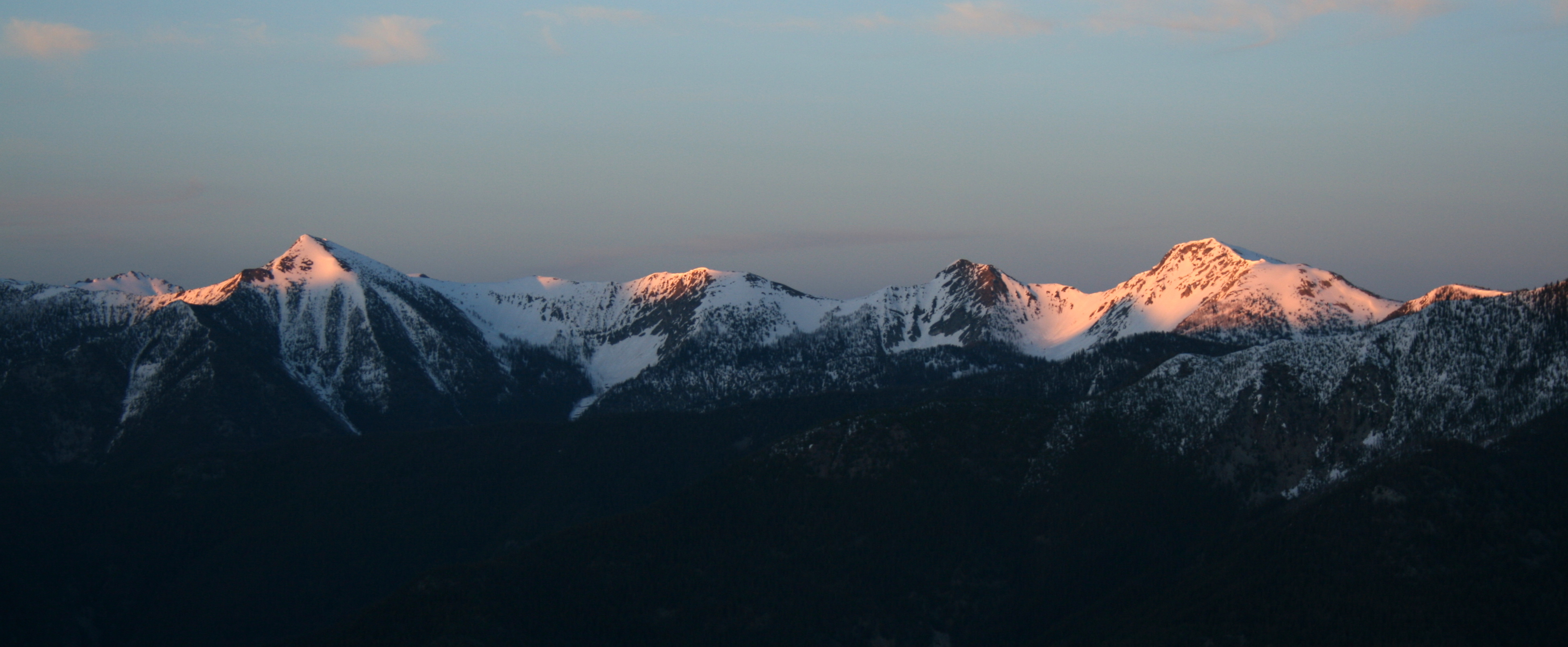
View east at sunset

View from Rendezvous Hut, closeup
Methow Valley
View from Rendezvous Hut
Snowy View
View east from camp
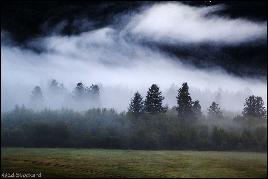
Mysterious Evening

Early Winters Creek, near Mazama, Washington

Three rectangles
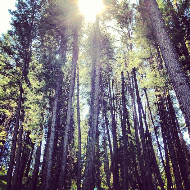
Sun through the trees. #hike #sun #trees
It's Called "Fall" For a Reason

DSC_0410.jpg
methow valley

Blue Steel took a picture!

DSC_0410.jpg
Attempt at Goat Peak. Too bad the trail doesn't open until July.

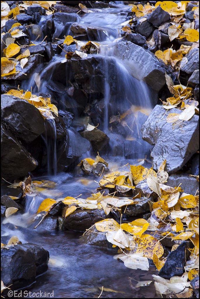
Upper Cedar Creek Falls
IMG_9983-Pano.jpg
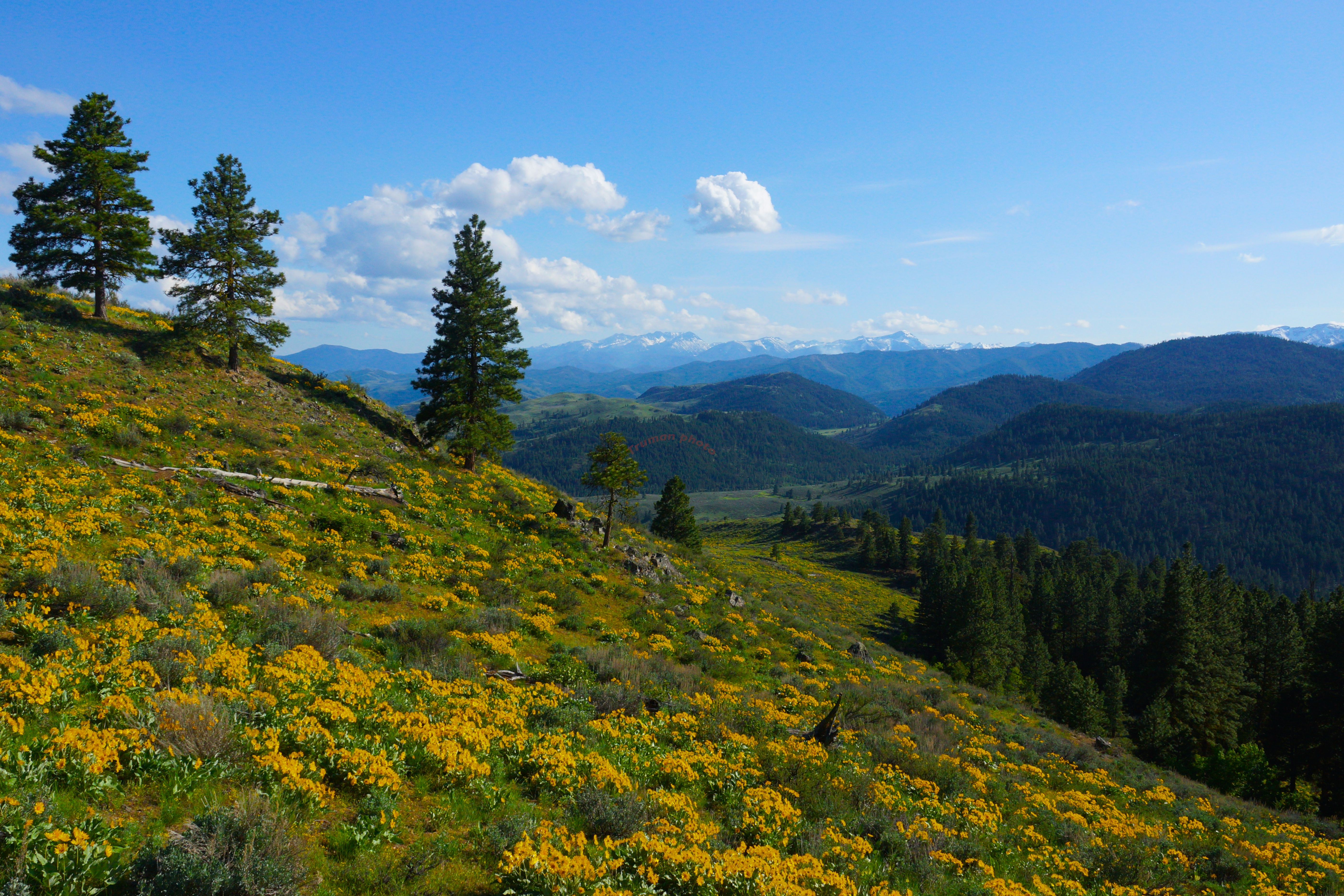
eastside pano 2 for email

2015 Mazama Ski Trip
Topographic Map of Mazama, WA, USA
Find elevation by address:

Places in Mazama, WA, USA:
Goat Peak
Devils Peak
Setting Sun Mountain
Beauty Peak
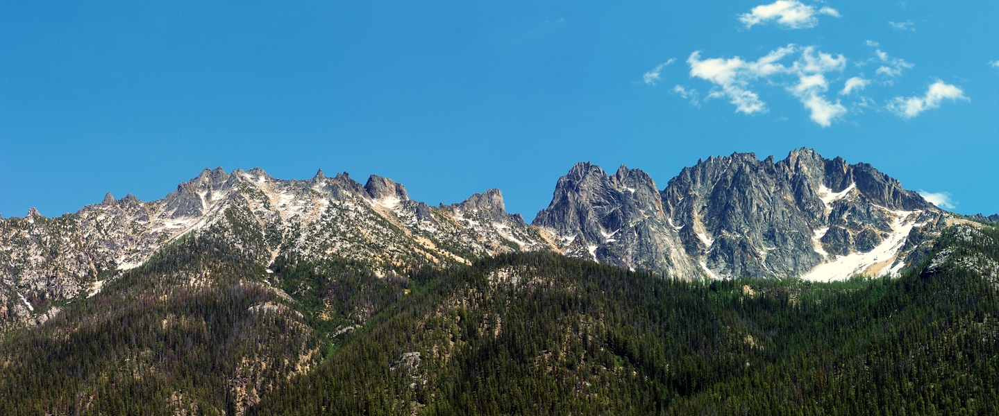
Robinson Mountain
Robinson Peak
Wildcat Mountain
Mount Rolo
Places near Mazama, WA, USA:
North Cascade Heli-skiing
Goat Peak
8 Cottonwood Cir
Setting Sun Mountain
Lost River Resort
Early Winters Creek
Abernathy Ridge
Abernathy Peak
Midnight Mountain
604 Patterson Lake Rd
Sun Mountain Lodge
Silver Star Mountain
Snagtooth Ridge
Vasiliki Ridge
Beauty Peak
South Creek Campground
Gilbert Mountain
Robinson Mountain
Lake Mountain
Lone Fir Campground (recgovnpsdata)
Recent Searches:
- Elevation of Corso Fratelli Cairoli, 35, Macerata MC, Italy
- Elevation of Tallevast Rd, Sarasota, FL, USA
- Elevation of 4th St E, Sonoma, CA, USA
- Elevation of Black Hollow Rd, Pennsdale, PA, USA
- Elevation of Oakland Ave, Williamsport, PA, USA
- Elevation of Pedrógão Grande, Portugal
- Elevation of Klee Dr, Martinsburg, WV, USA
- Elevation of Via Roma, Pieranica CR, Italy
- Elevation of Tavkvetili Mountain, Georgia
- Elevation of Hartfords Bluff Cir, Mt Pleasant, SC, USA