Elevation of 8 Cottonwood Cir, Mazama, WA, USA
Location: United States > Washington > Mazama >
Longitude: -120.50413
Latitude: 48.6449994
Elevation: 713m / 2339feet
Barometric Pressure: 93KPa
Elevation Map:
Satellite Map:
Related Photos:

freestone inn

Methow River

Methow River

View from the end of our route up Slate Peak

Early Winters South Spires

Deer Mazama

Fall Colors in Mazama II

Just trying to help

First week of clearing SR 20 from the eastern gate

Ski View Near Mazama

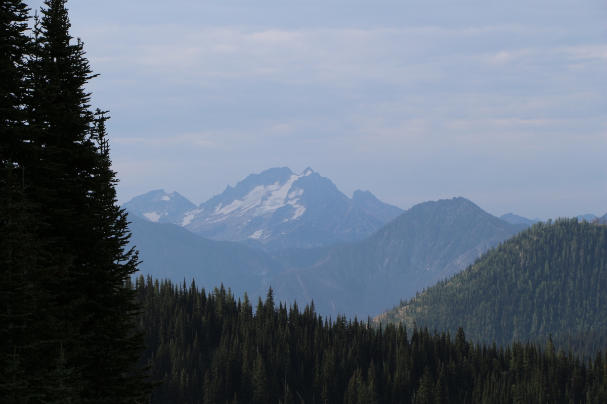
View from North Cascades Highway, WA (8)
2339 Zoomed-in view of Silver Star Mountain (elev 8876 ft) from the PCT a mile north of Harts Pass
View from North Cascades Highway, WA (5)

View from Goat Peak

2416 Zoomed -in view of Mount Triumph (6969 ft, 31 miles away) from the PCT a mile north of Harts Pass

2391 Zoomed-in view of the Golden Horn (elev 8366 ft) from the PCT a mile north of Harts Pass

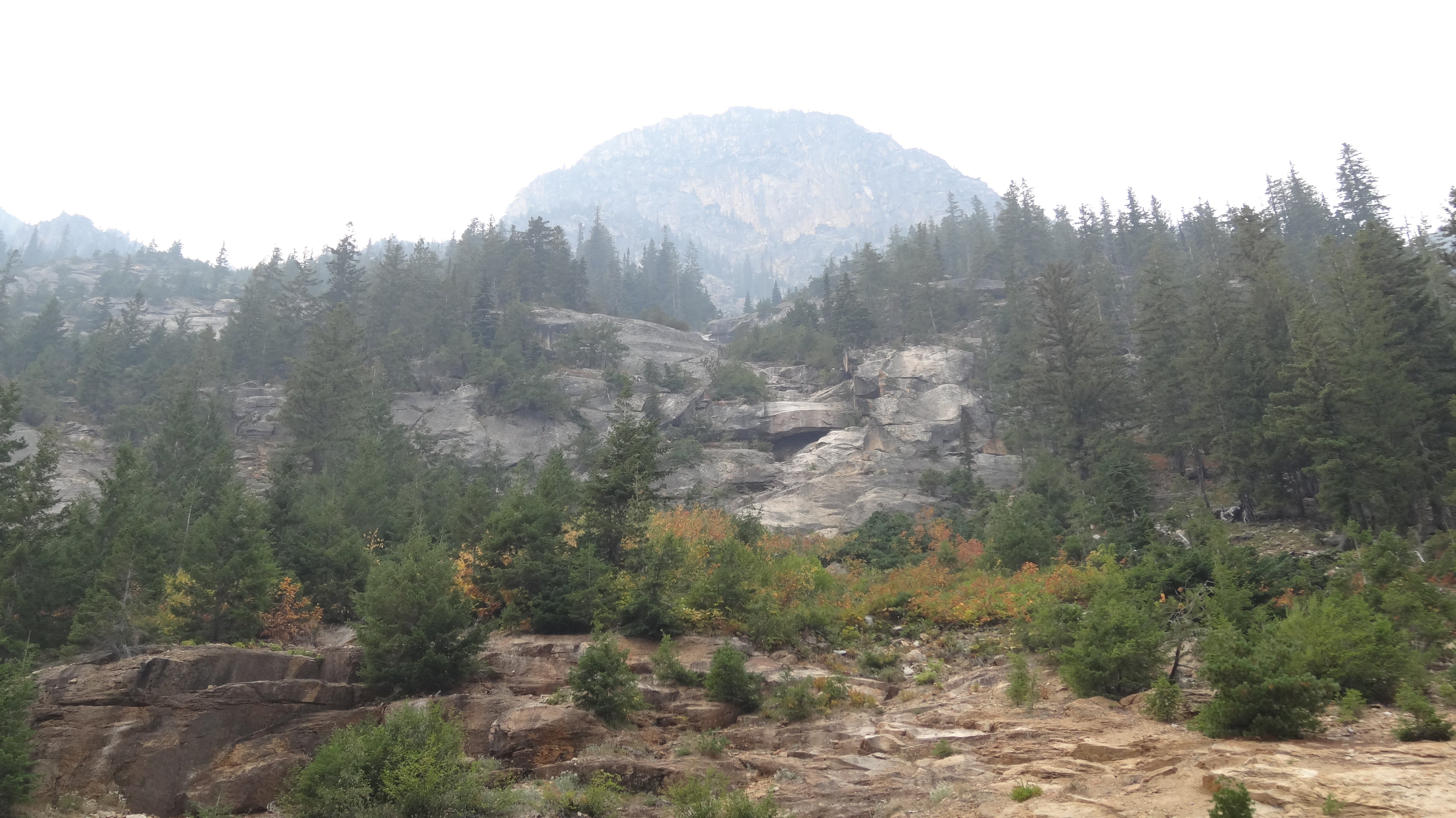
View from North Cascades Highway, WA (2)
Larches on the PCT to Grasshopper Pass

2318 Zoomed-in view of The Needles from the PCT north of Harts Pass

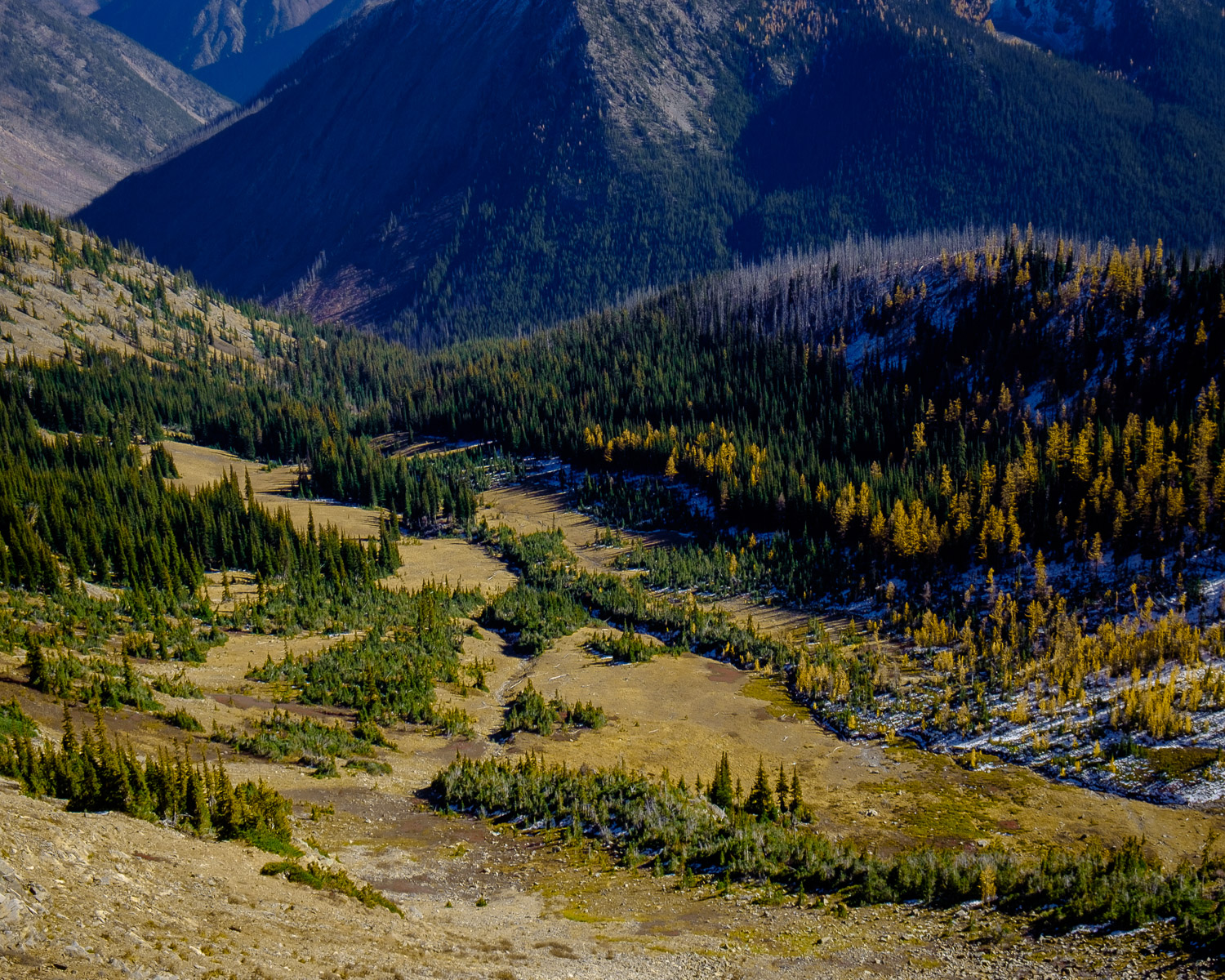
1787 Panorama view from just north of Grasshopper Pass on the PCT toward Handcock Ridge in the mist

2207 We caught up with Steve and Kelly who were resting and enjoying the view from the PCT south of Harts Pass
On the Road

Lost Dolphin

Plow patrol is on a roll!

liberty bell mountain 6002

Larches on the PCT to Grasshopper Pass

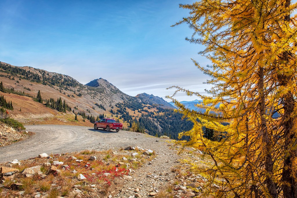
Harts Pass and Slate Peak

Natasha and Elizabeth

Golden Larch

North Cascades

Northern Wonder

Mazama Doorman

Early Winters Creek, near Mazama, Washington

Looking NW from Harts Pass

First week of clearing SR 20 from the eastern gate
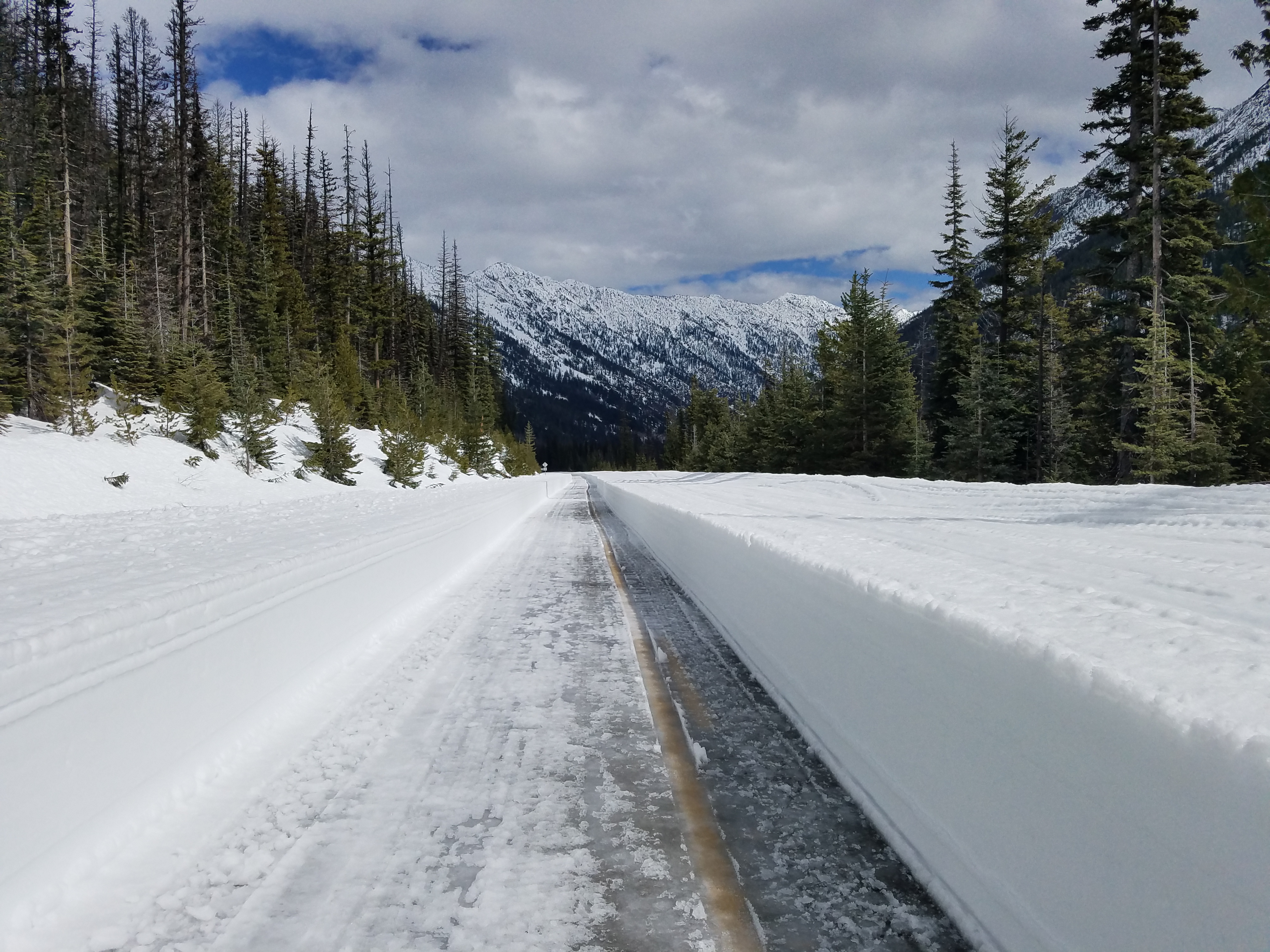
Clearing SR 20 from the eastern gate
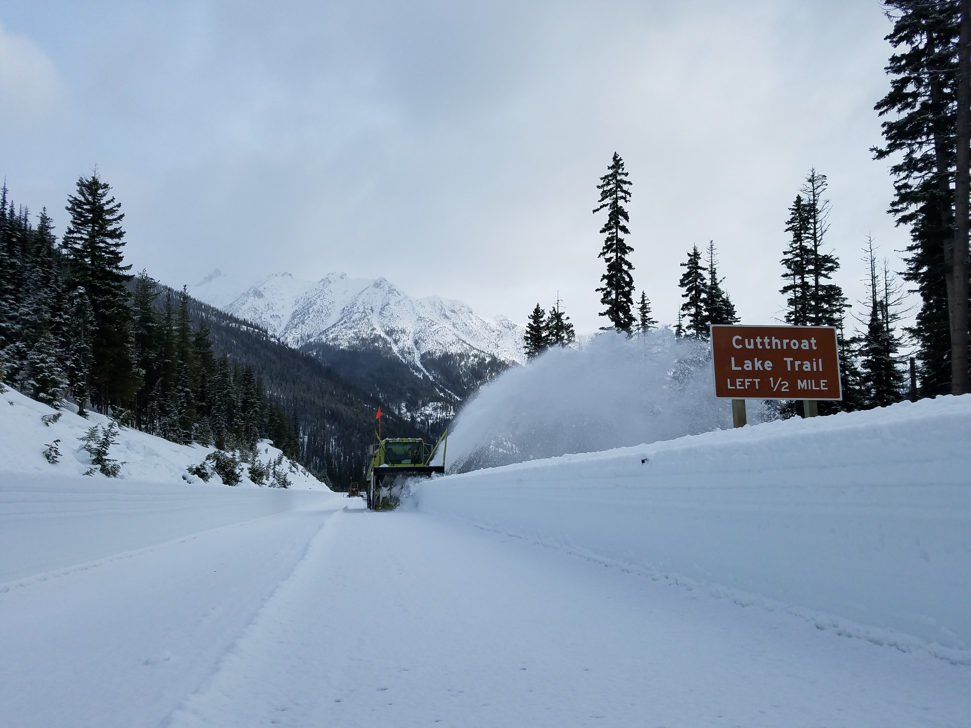
First week of clearing SR 20 from the eastern gate

2018 SR 20 NCH clearing

First cut is the deepest
Topographic Map of 8 Cottonwood Cir, Mazama, WA, USA
Find elevation by address:

Places near 8 Cottonwood Cir, Mazama, WA, USA:
Lost River Resort
Setting Sun Mountain
North Cascade Heli-skiing
Early Winters Creek
Beauty Peak
Goat Peak
Robinson Mountain
Mazama
Vasiliki Ridge
Silver Star Mountain
Lone Fir Campground (recgovnpsdata)
Lake Mountain
Snagtooth Ridge
Devils Peak
Monument Peak
The Needles
Robinson Peak
Blackcap Mountain
Abernathy Peak
Kangaroo Ridge
Recent Searches:
- Elevation of 6 Rue Jules Ferry, Beausoleil, France
- Elevation of Sattva Horizon, 4JC6+G9P, Vinayak Nagar, Kattigenahalli, Bengaluru, Karnataka, India
- Elevation of Great Brook Sports, Gold Star Hwy, Groton, CT, USA
- Elevation of 10 Mountain Laurels Dr, Nashua, NH, USA
- Elevation of 16 Gilboa Ln, Nashua, NH, USA
- Elevation of Laurel Rd, Townsend, TN, USA
- Elevation of 3 Nestling Wood Dr, Long Valley, NJ, USA
- Elevation of Ilungu, Tanzania
- Elevation of Yellow Springs Road, Yellow Springs Rd, Chester Springs, PA, USA
- Elevation of Rēzekne Municipality, Latvia