Elevation of Lost River Resort, Lost River Rd, Mazama, WA, United States
Location: United States > Washington > Winthrop >
Longitude: -120.50516
Latitude: 48.6537669
Elevation: 738m / 2421feet
Barometric Pressure: 93KPa
Elevation Map:
Satellite Map:
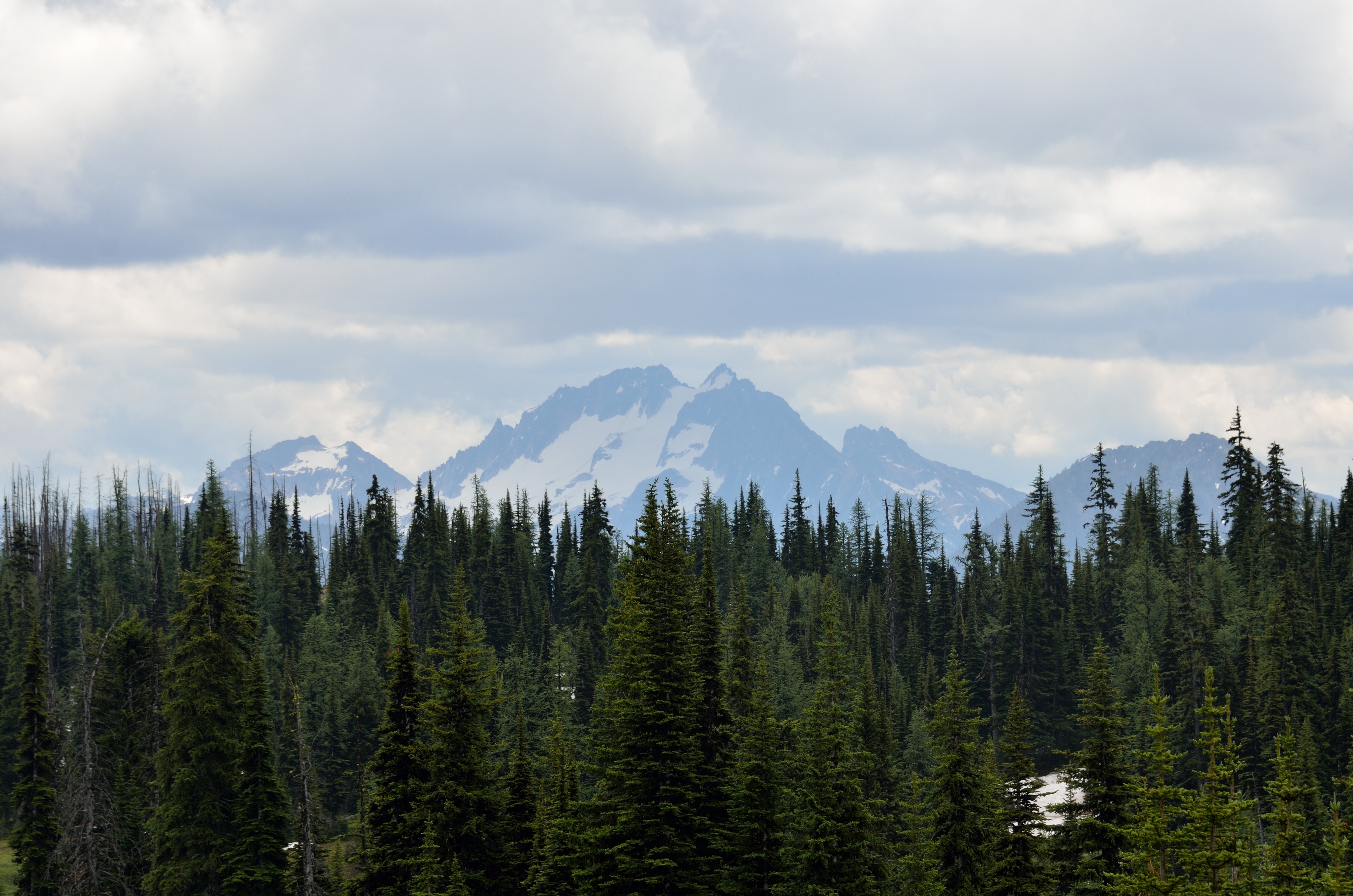
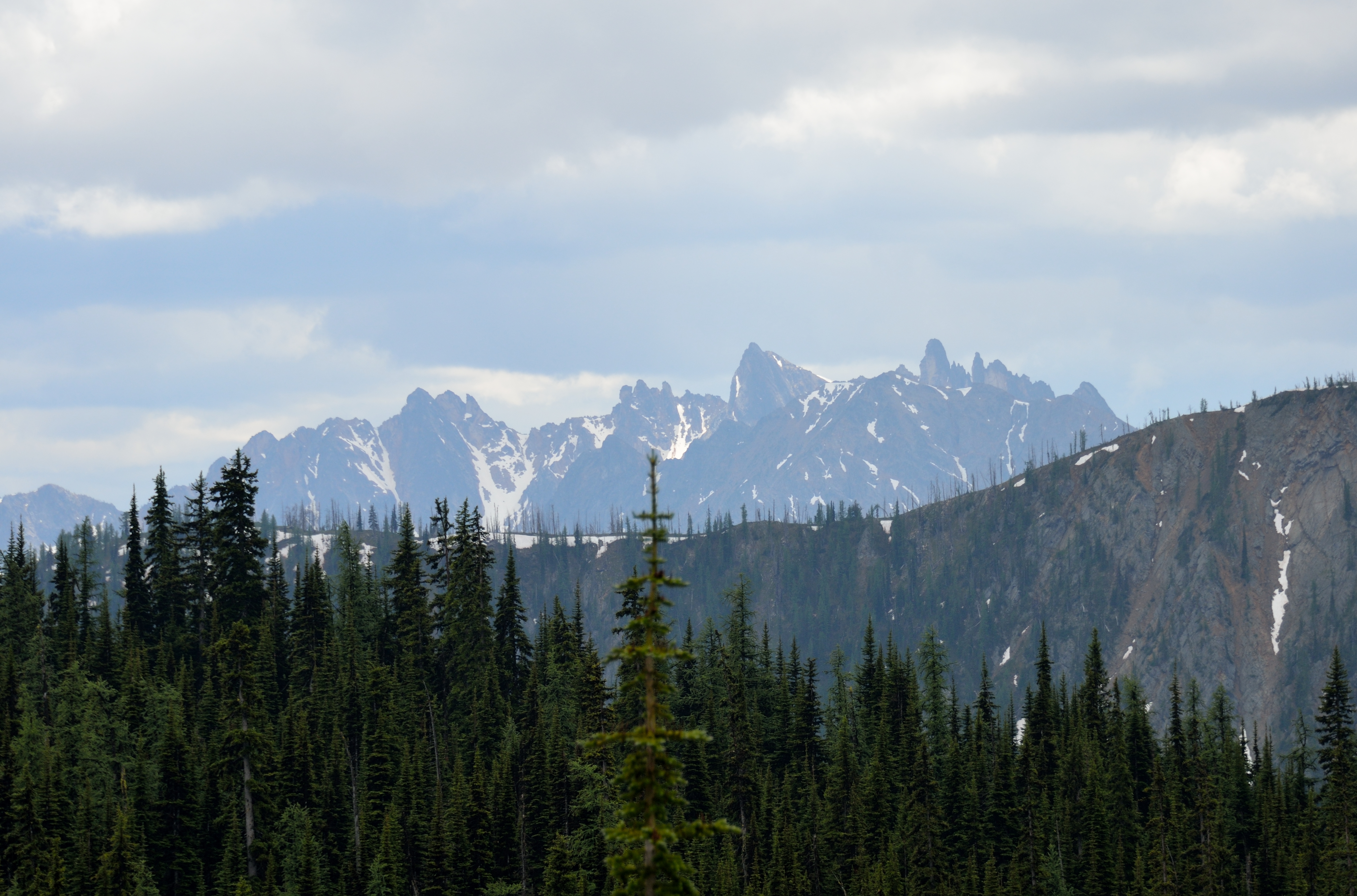
Related Photos:
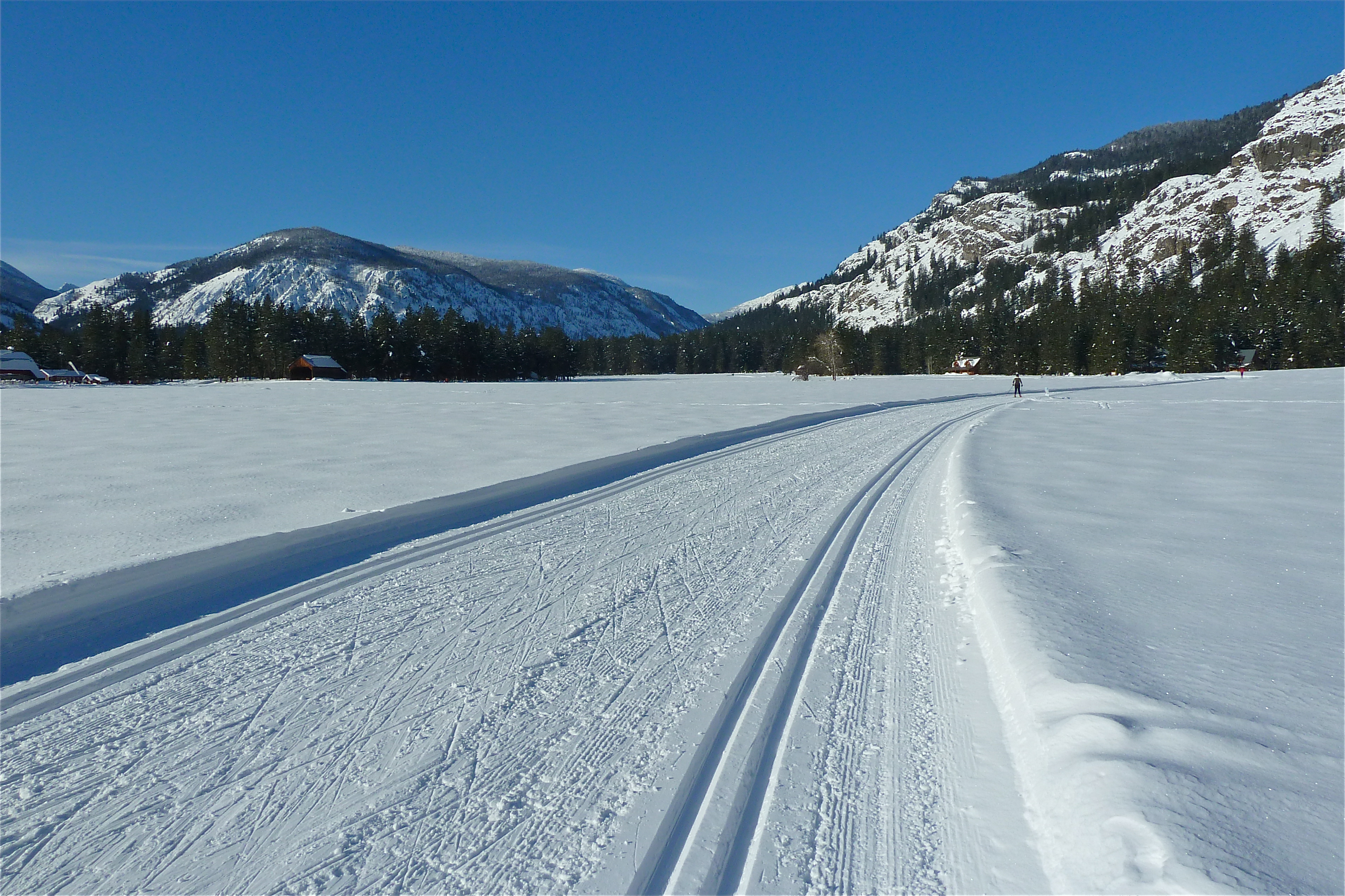
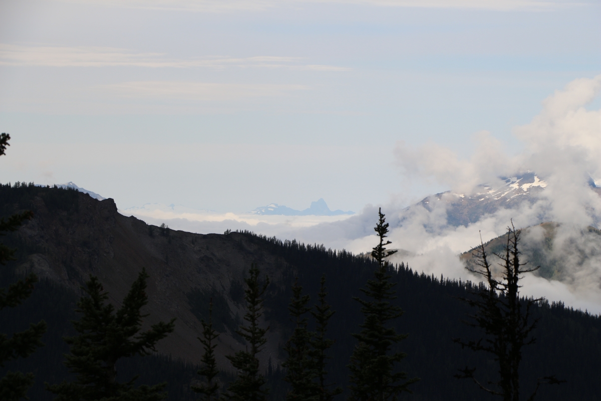
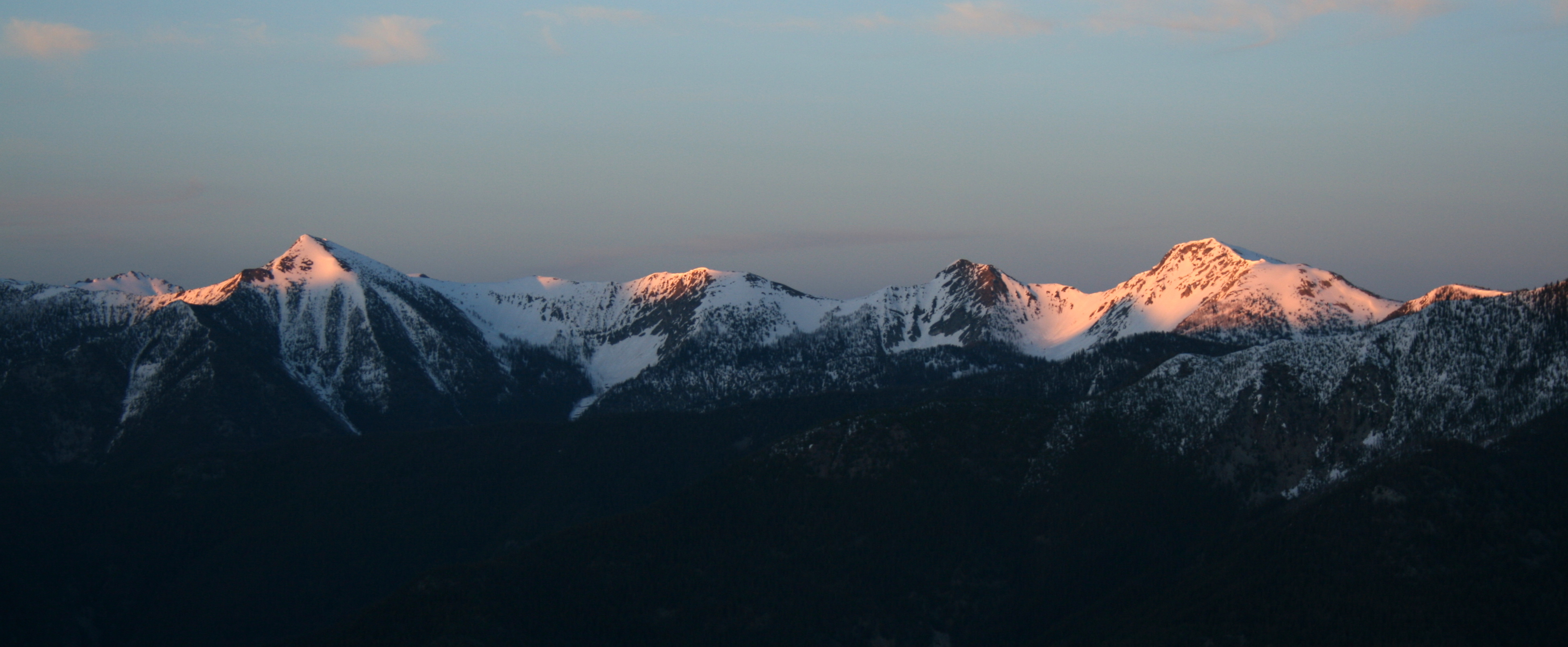
Ski View Near Mazama
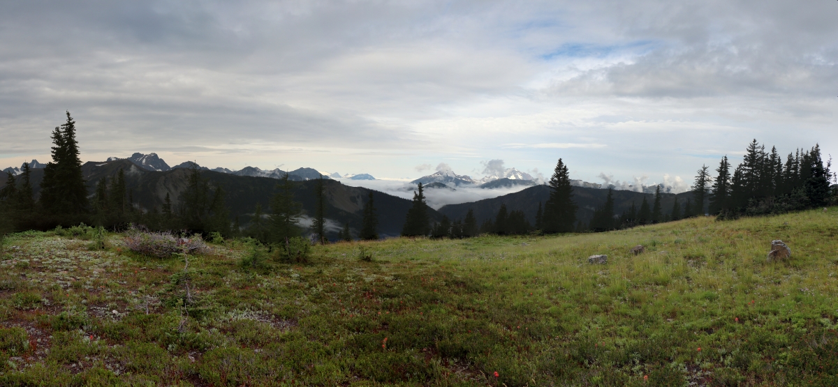
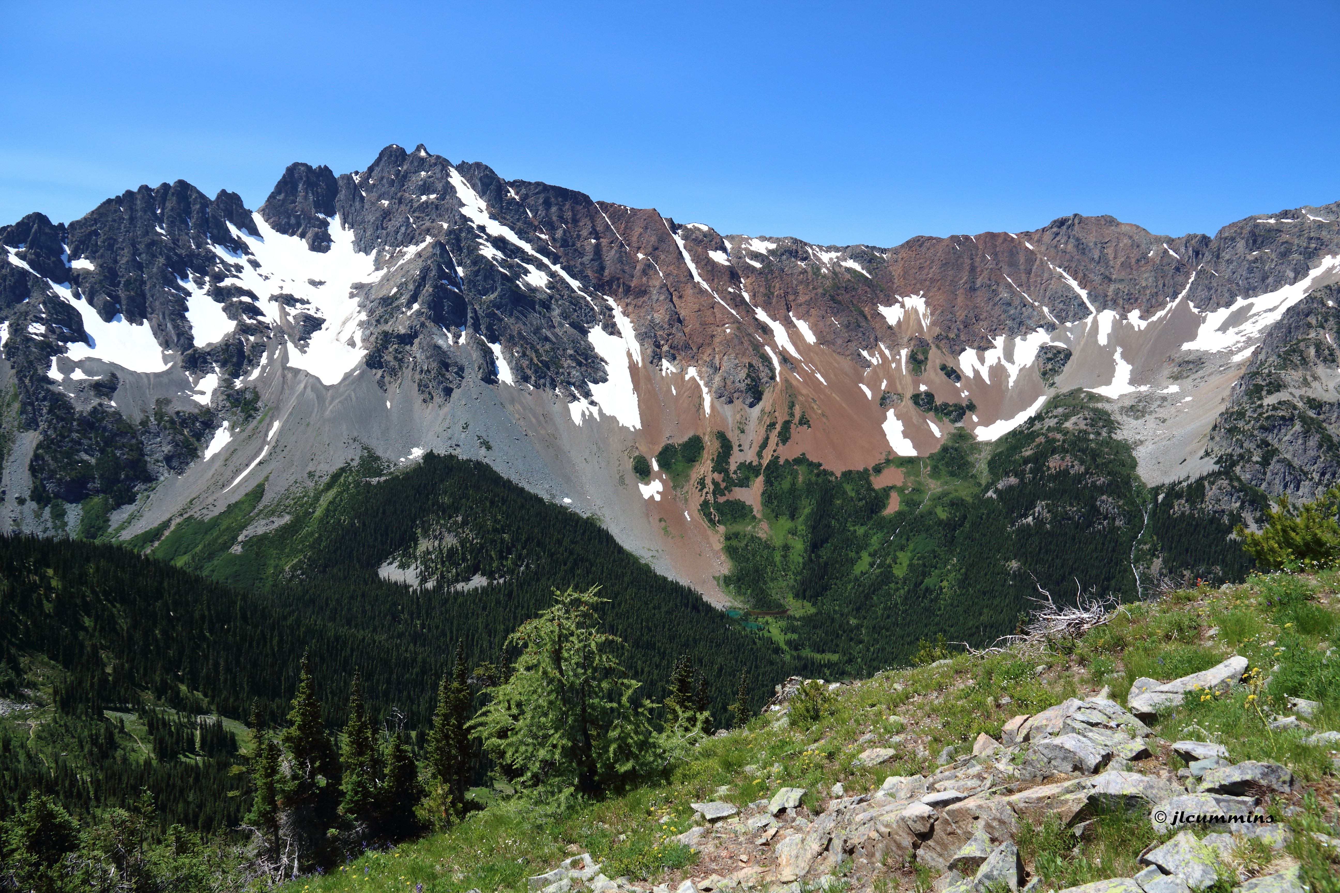
2443 Multi-peak panorama view south and west from the PCT below Slate Peak
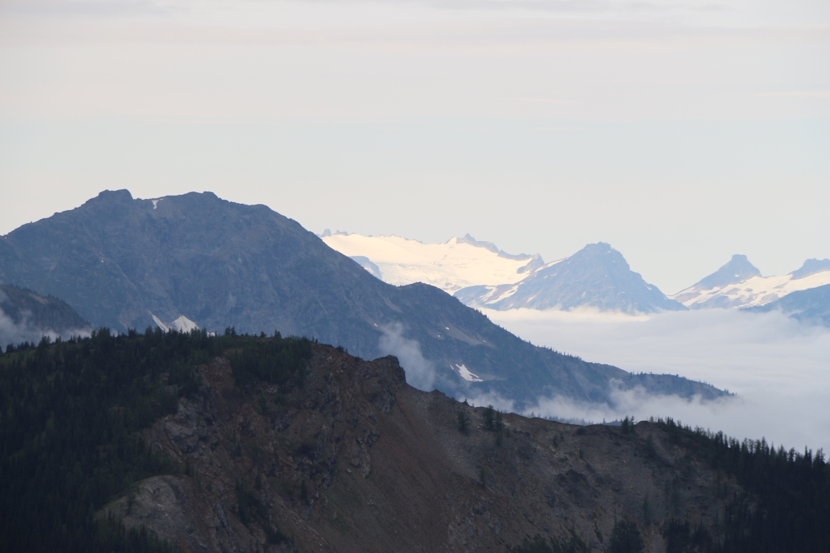
2461 Zoomed-in view of the Neve Glacier on Snowfield Peak (8347 ft) from the PCT near Slate Peak
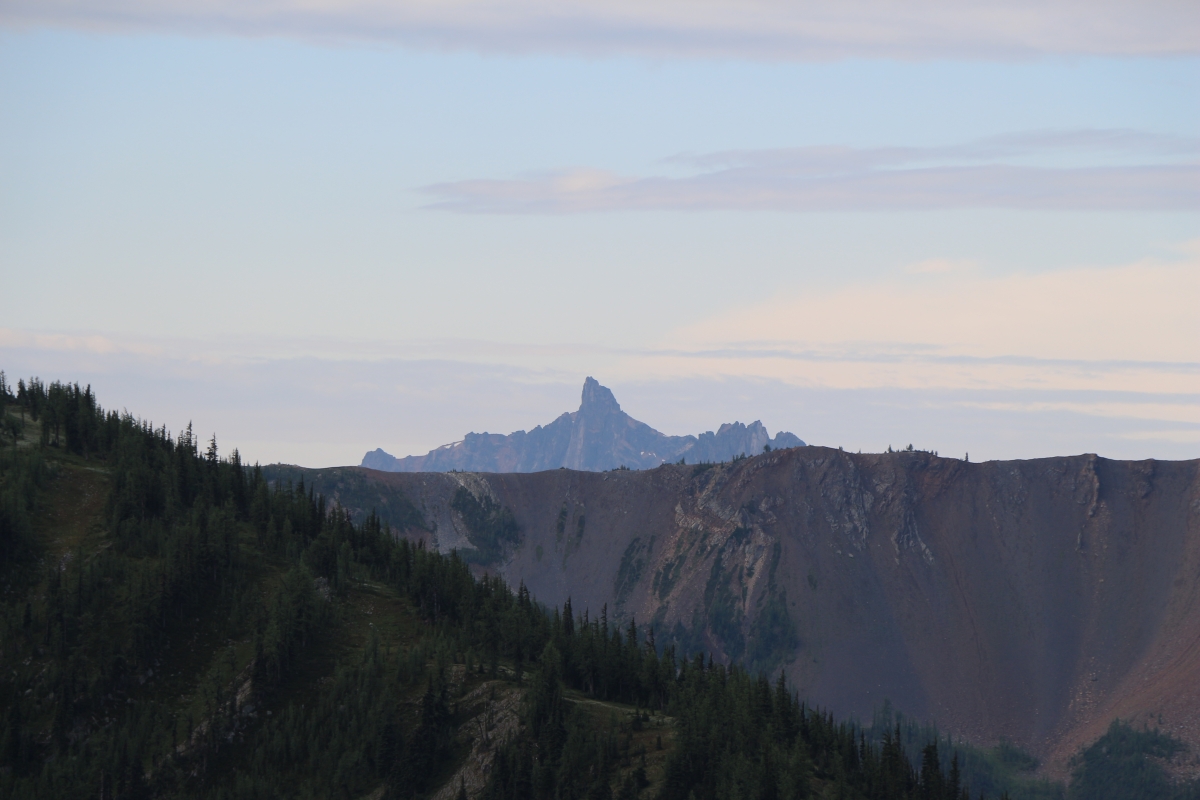
2391 Zoomed-in view of the Golden Horn (elev 8366 ft) from the PCT a mile north of Harts Pass
2416 Zoomed -in view of Mount Triumph (6969 ft, 31 miles away) from the PCT a mile north of Harts Pass
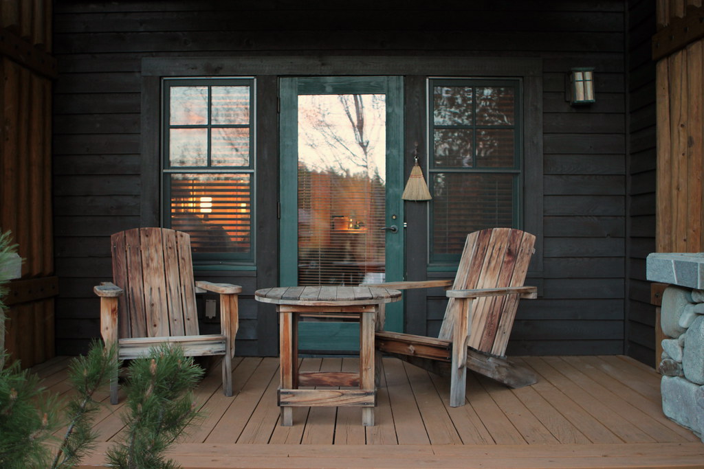
freestone inn
Fall Colors in Mazama II

A room with a view
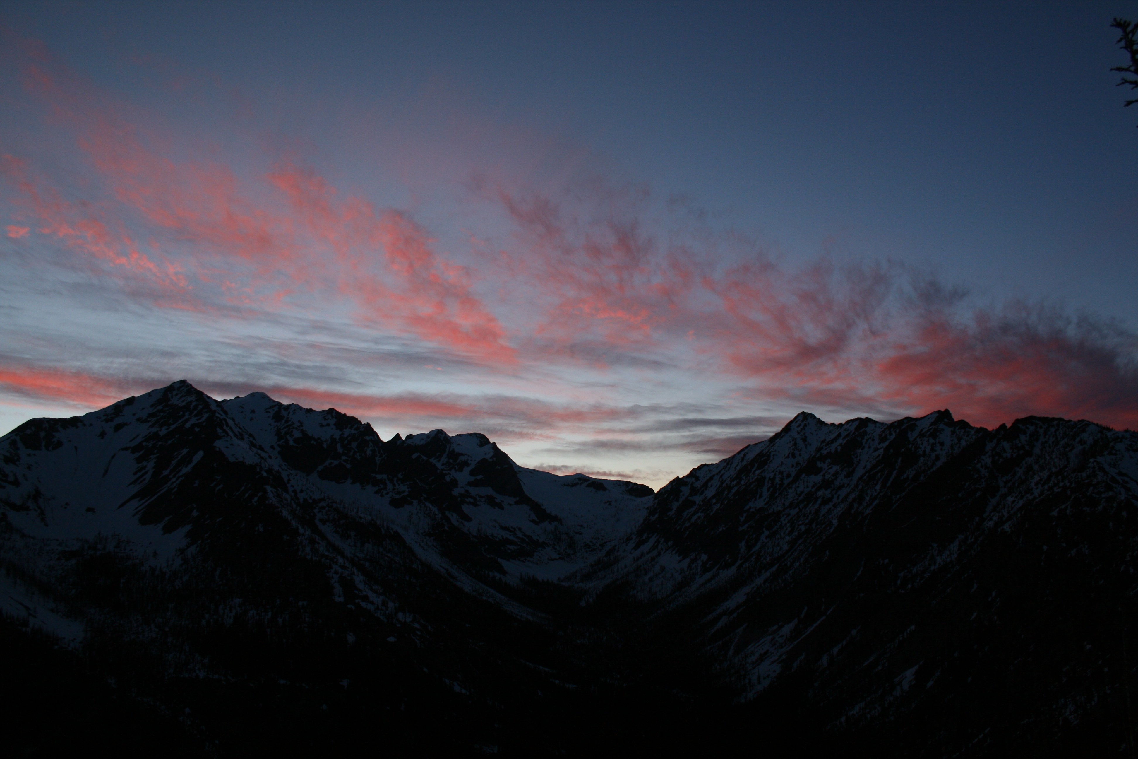
View towards Robinson at sunset

View for my tent. Full moon.

freestone inn
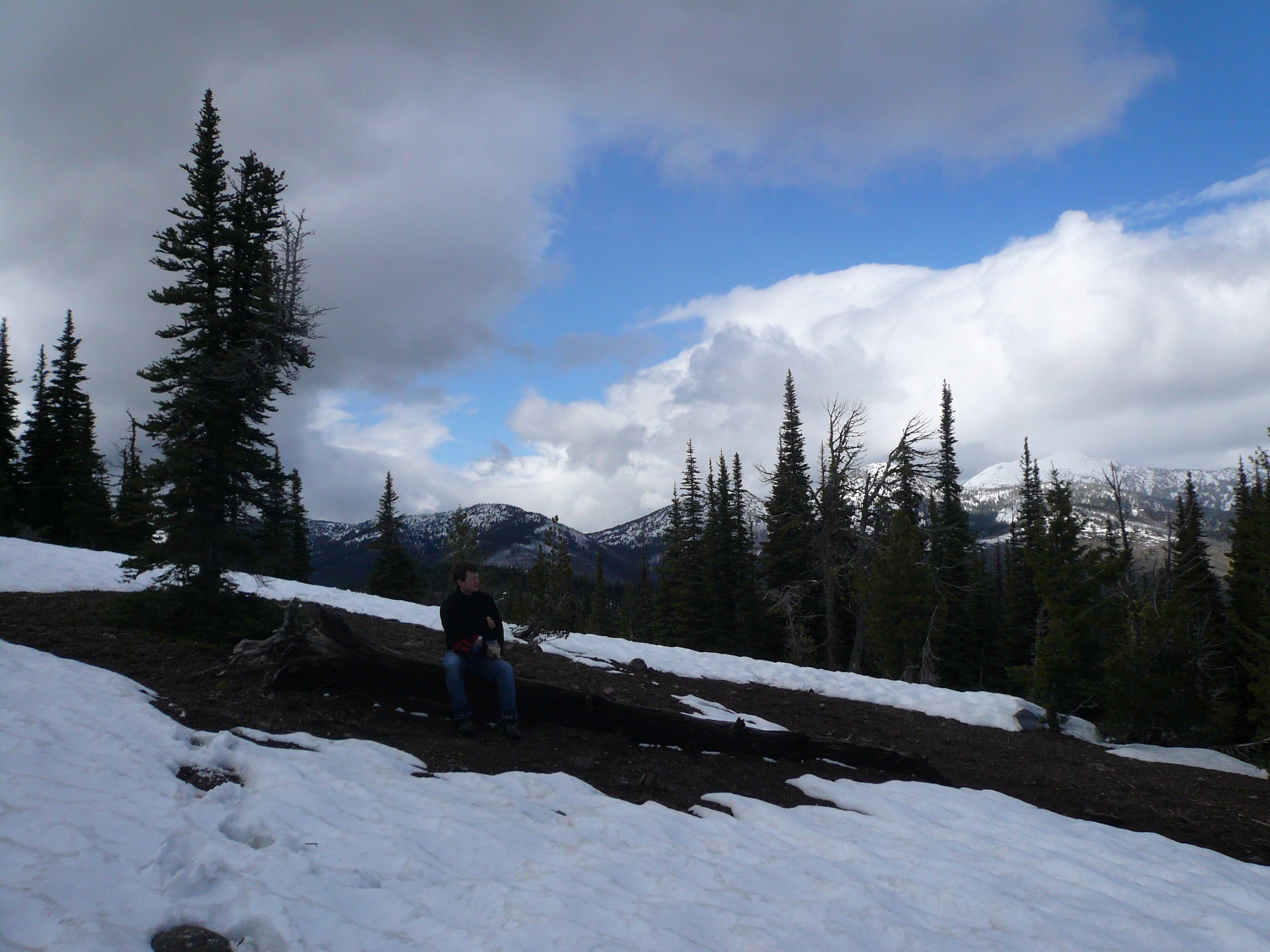
View from the end of our route up Slate Peak
View from the end of our route up Slate Peak

Checking out the view at lunch with Pargetter's help

View west from camp
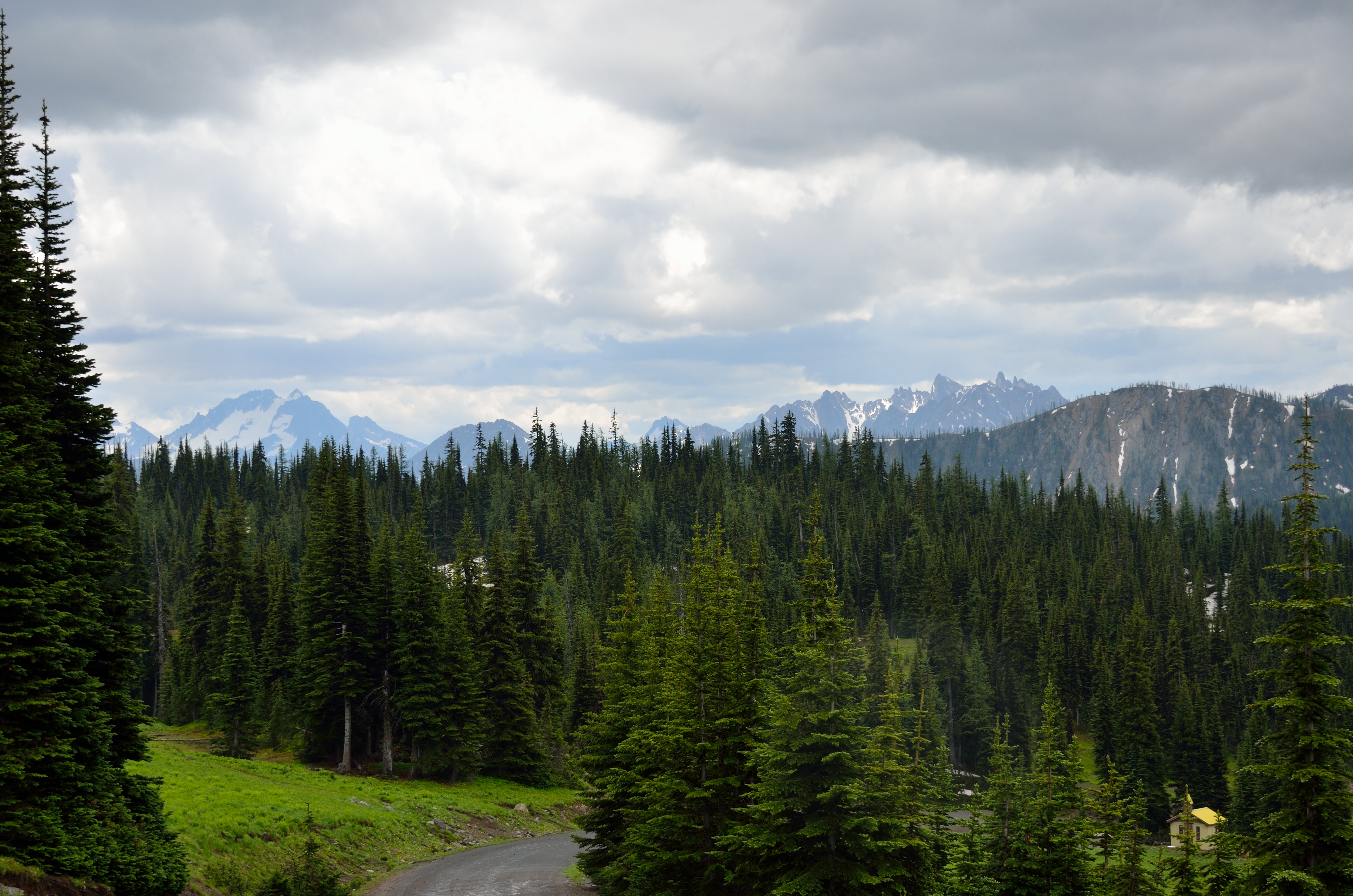
View from the end of our route up Slate Peak
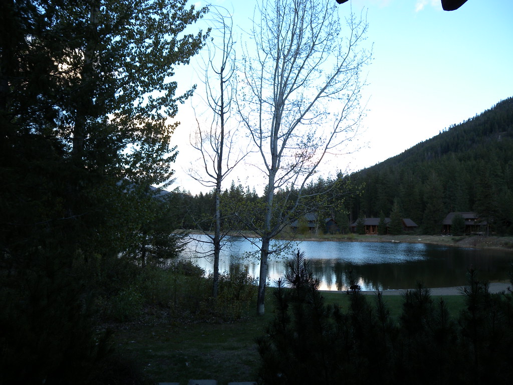
freestone inn

2207 We caught up with Steve and Kelly who were resting and enjoying the view from the PCT south of Harts Pass
View east at sunset
1738 Our brief and only view of Mount Ballard (8301 ft) from the PCT just south of Grasshopper Pass

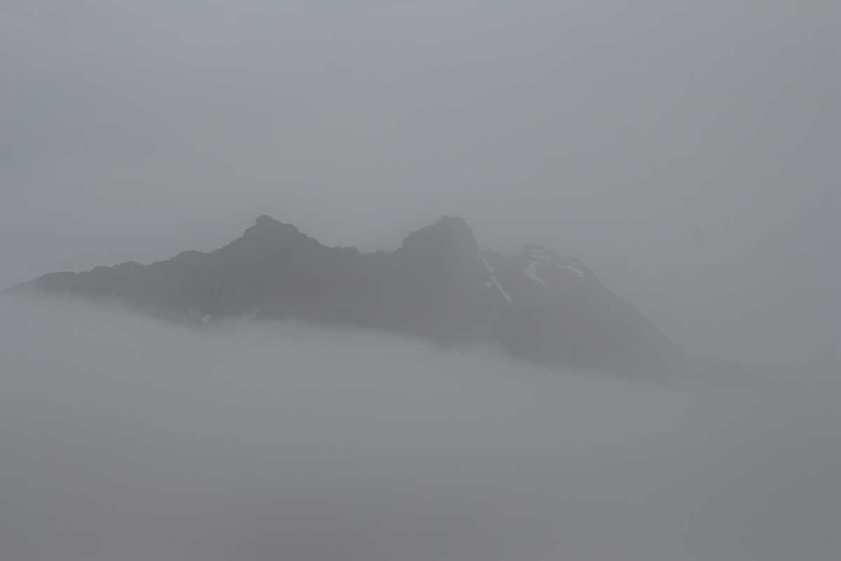
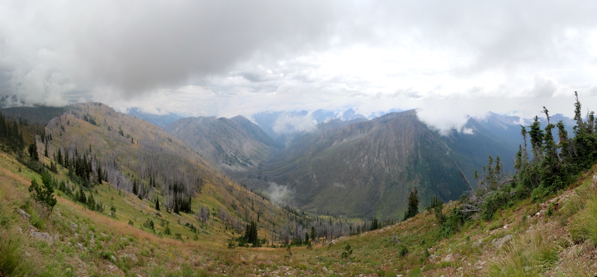
1787 Panorama view from just north of Grasshopper Pass on the PCT toward Handcock Ridge in the mist

Three rectangles

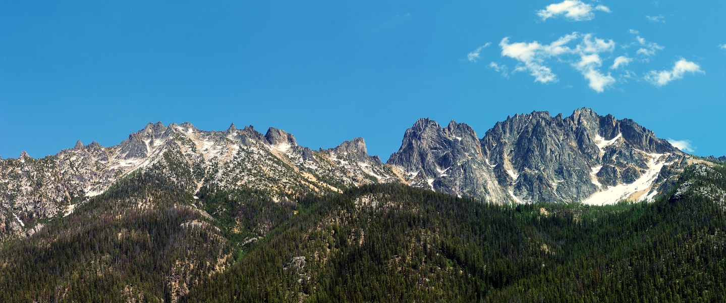
Tower Mountain

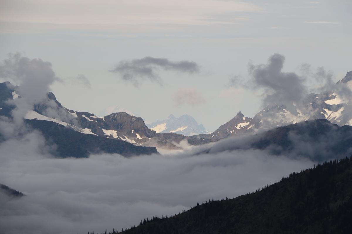
2451 Crater Mountain, Mount Terror (28 miles distant) and Jack Mountain from the PCT north of Harts Pass
2470 Mount Baker (10781 ft and 52 miles away) just visible left of center, Mount Terror center, from the PCT
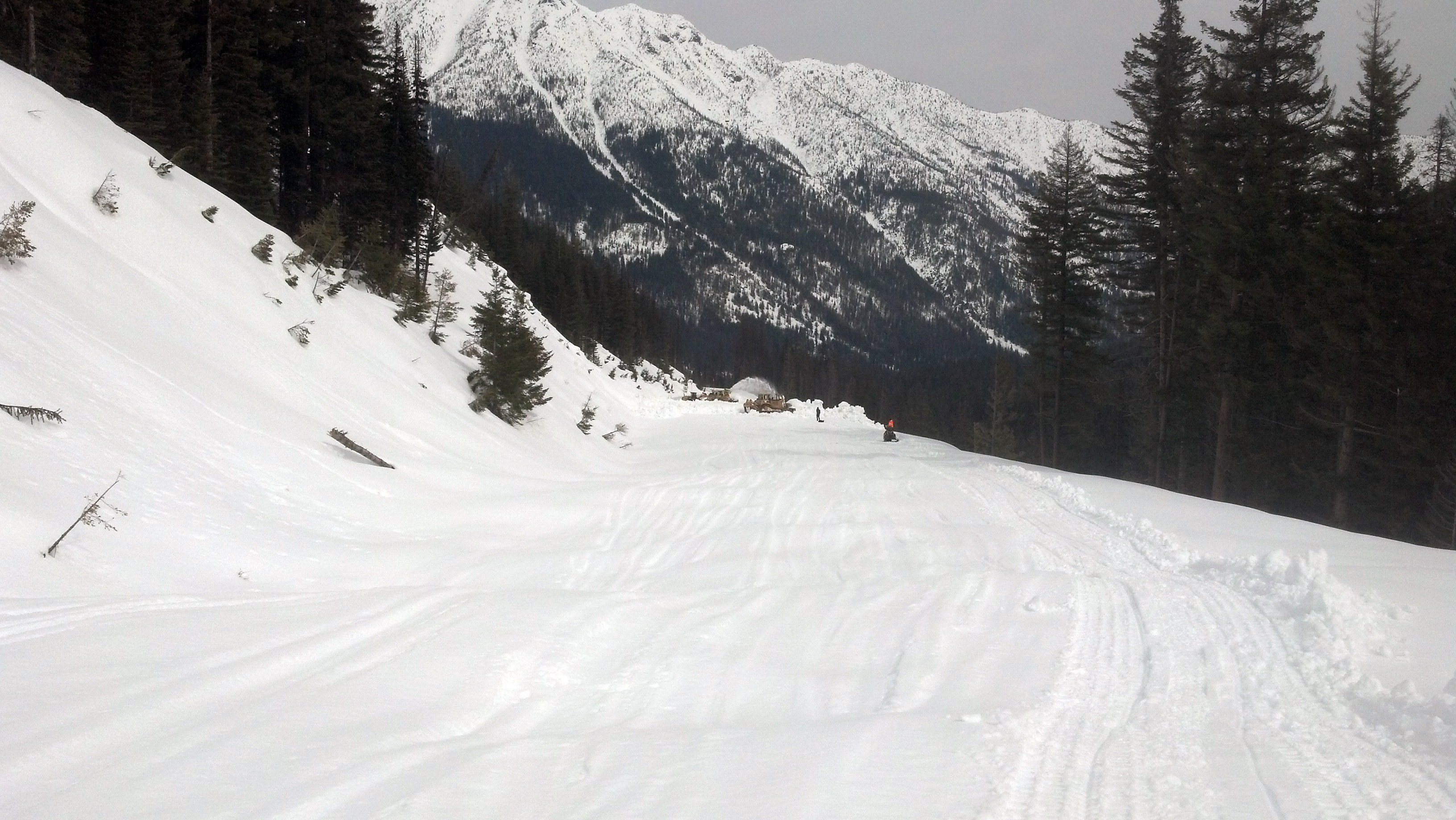
SR 20 Clearing an avalanche chute

Early Winters Creek, near Mazama, Washington
Azurite Peak from PCT near Grasshopper Pass
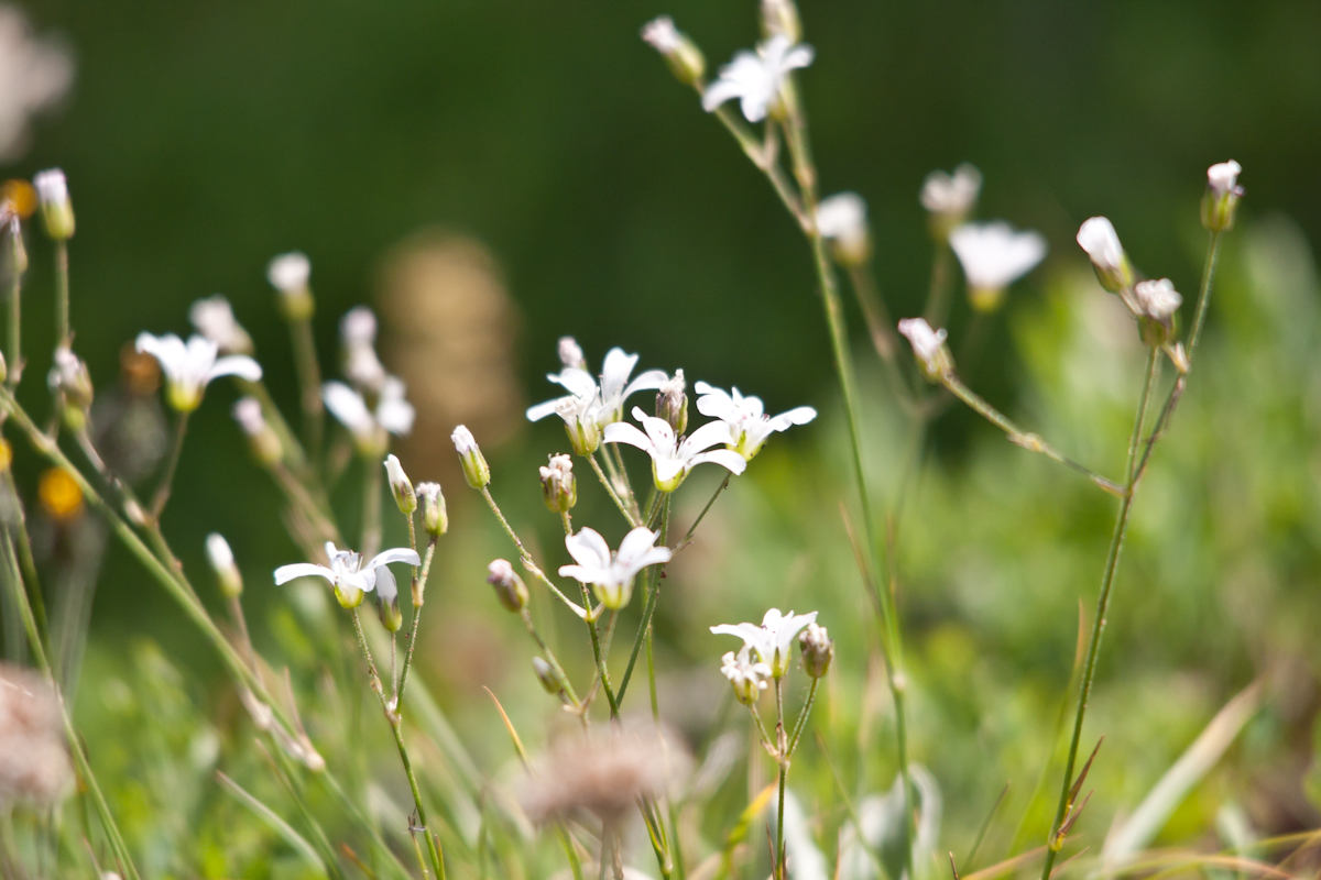
Harts Pass wildflowers
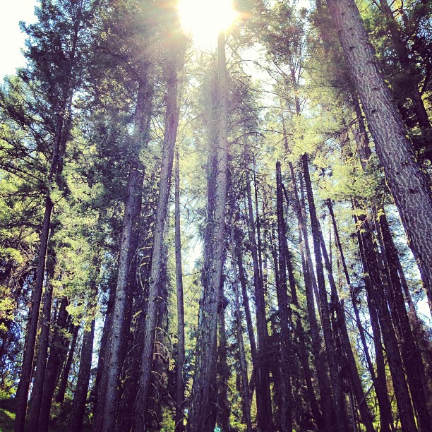
Sun through the trees. #hike #sun #trees
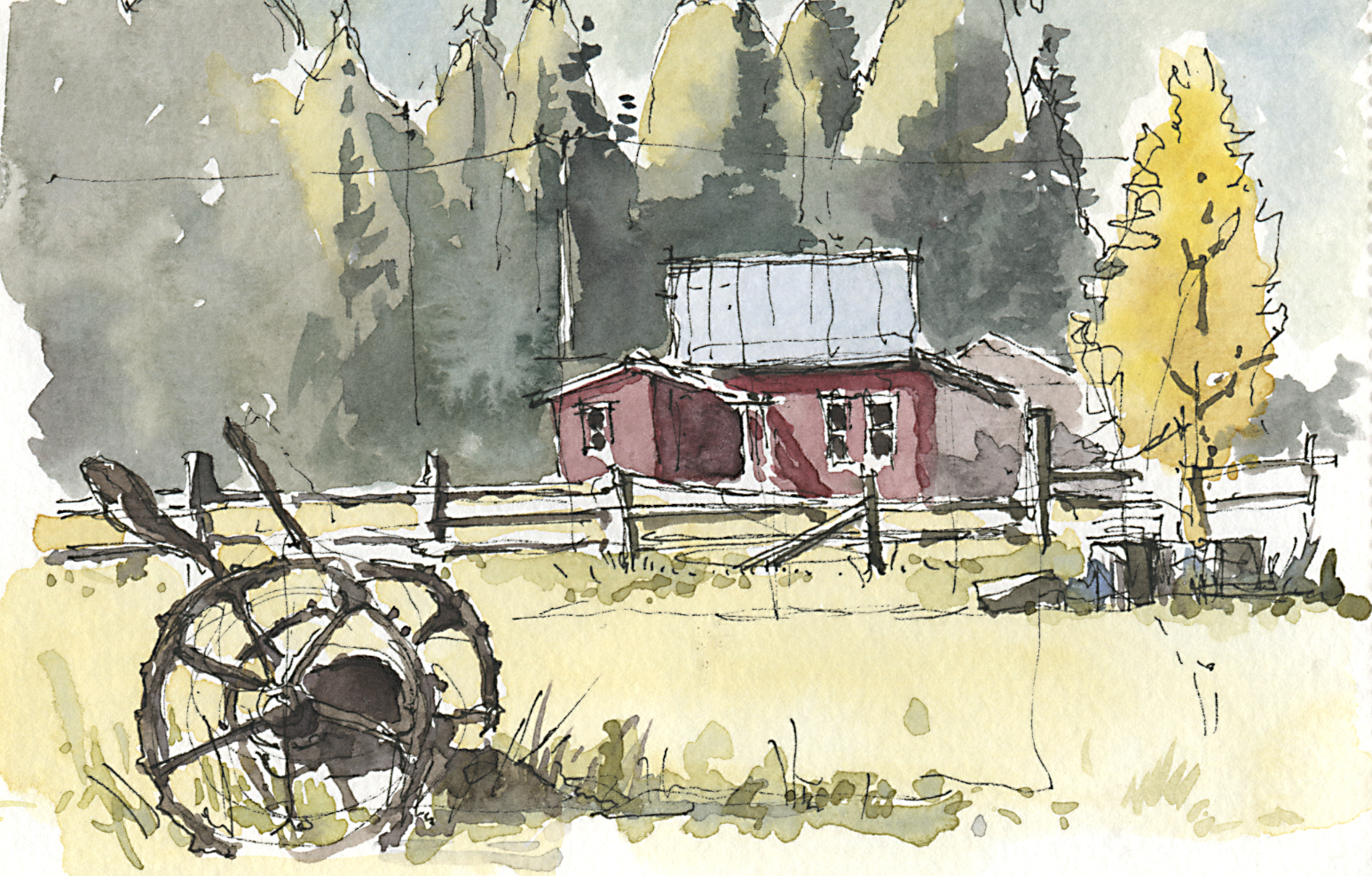
It's Called "Fall" For a Reason
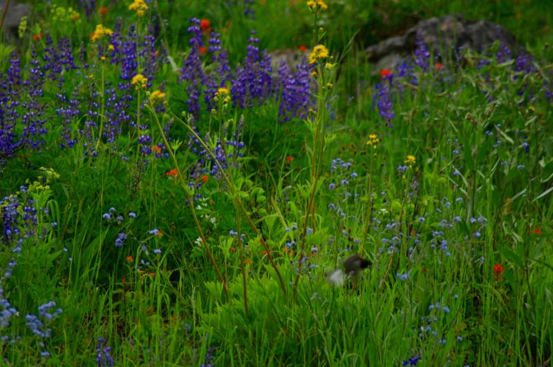
Mountain Wildflowers
Attempt at Goat Peak. Too bad the trail doesn't open until July.

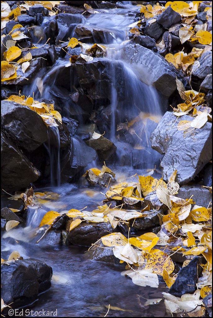
Upper Cedar Creek Falls
eastside pano 2 for email
2082 Hiking around the south side of Peak 7405 on the PCT
Topographic Map of Lost River Resort, Lost River Rd, Mazama, WA, United States
Find elevation by address:

Places near Lost River Resort, Lost River Rd, Mazama, WA, United States:
8 Cottonwood Cir
Setting Sun Mountain
Beauty Peak
North Cascade Heli-skiing
Early Winters Creek
Robinson Mountain
Goat Peak
Mazama
Lake Mountain
Vasiliki Ridge
Silver Star Mountain
Devils Peak
Lone Fir Campground (recgovnpsdata)
Monument Peak
Snagtooth Ridge
Robinson Peak
Blackcap Mountain
The Needles
Wildcat Mountain
Lost Peak
Recent Searches:
- Elevation of 6 Rue Jules Ferry, Beausoleil, France
- Elevation of Sattva Horizon, 4JC6+G9P, Vinayak Nagar, Kattigenahalli, Bengaluru, Karnataka, India
- Elevation of Great Brook Sports, Gold Star Hwy, Groton, CT, USA
- Elevation of 10 Mountain Laurels Dr, Nashua, NH, USA
- Elevation of 16 Gilboa Ln, Nashua, NH, USA
- Elevation of Laurel Rd, Townsend, TN, USA
- Elevation of 3 Nestling Wood Dr, Long Valley, NJ, USA
- Elevation of Ilungu, Tanzania
- Elevation of Yellow Springs Road, Yellow Springs Rd, Chester Springs, PA, USA
- Elevation of Rēzekne Municipality, Latvia