Elevation of Goat Peak, Washington, USA
Location: United States > Washington > Mazama >
Longitude: -120.40370
Latitude: 48.6318085
Elevation: 2027m / 6650feet
Barometric Pressure: 79KPa
Elevation Map:
Satellite Map:
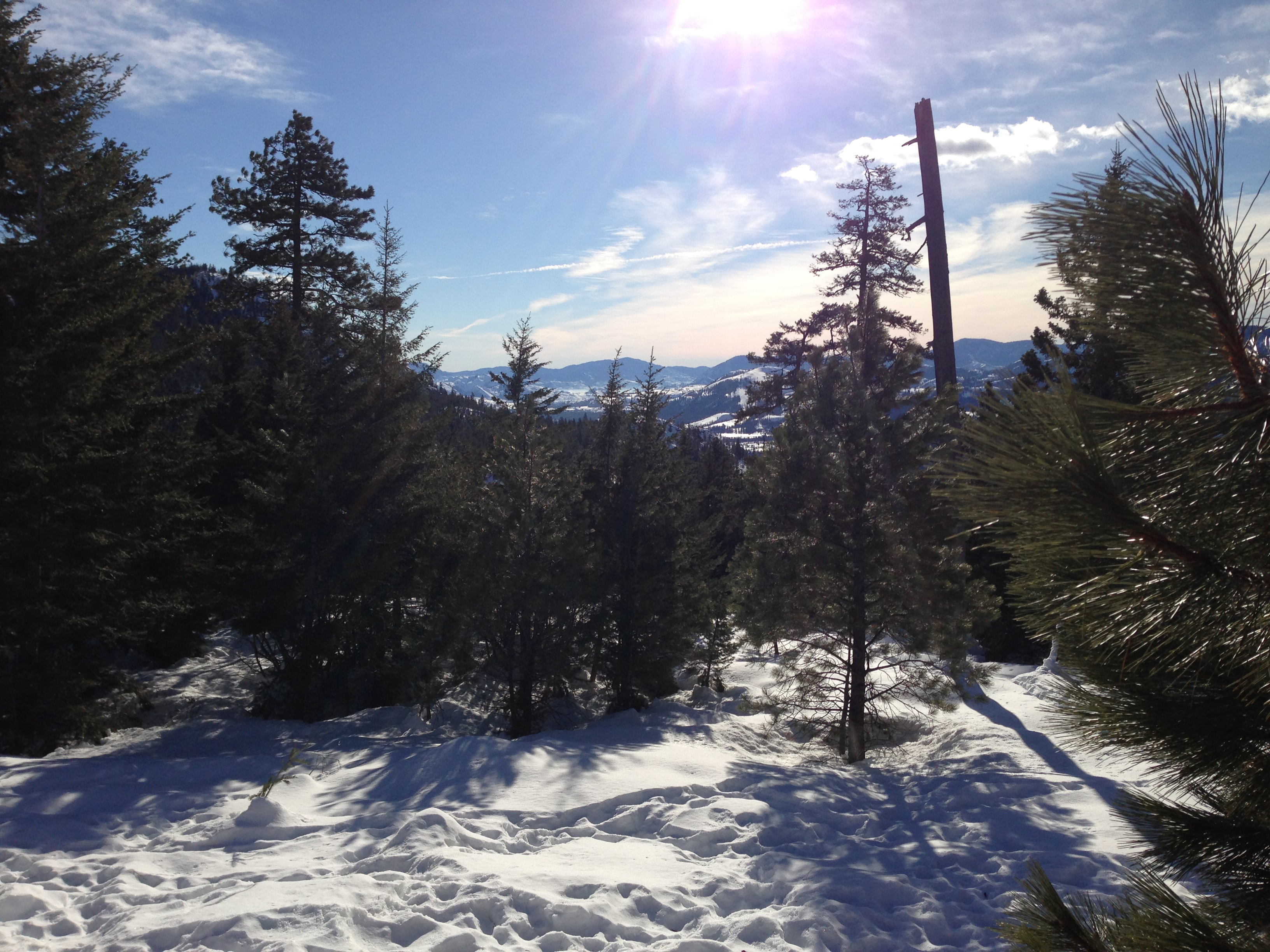
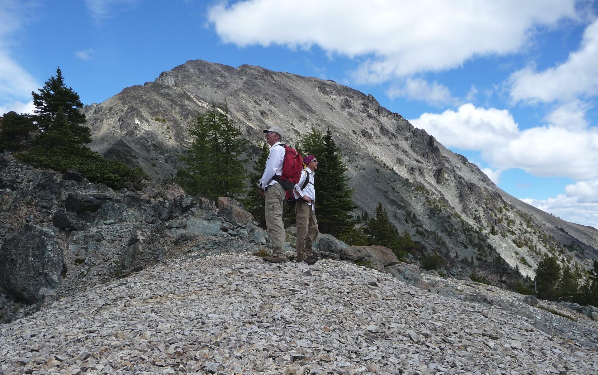
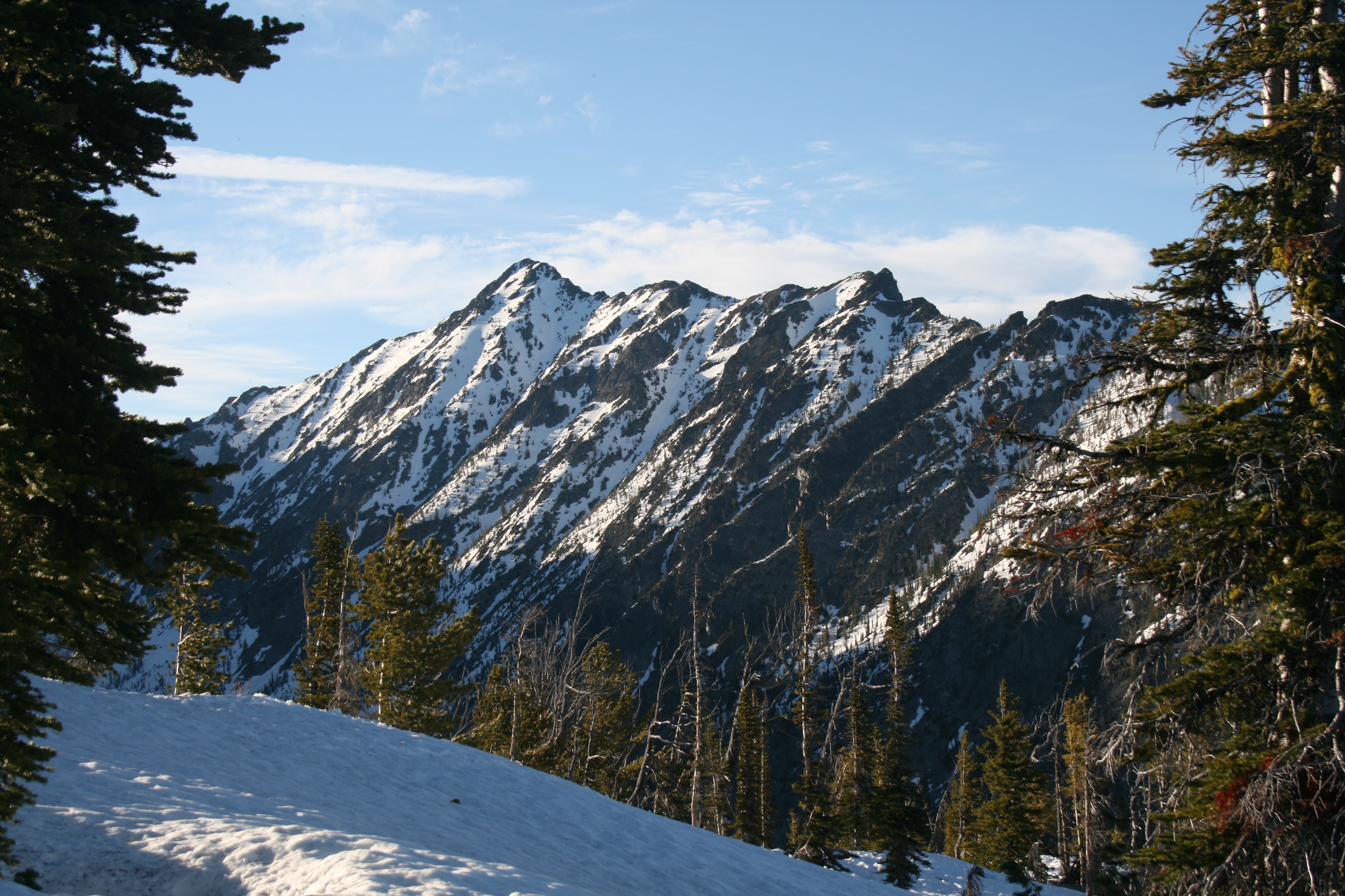
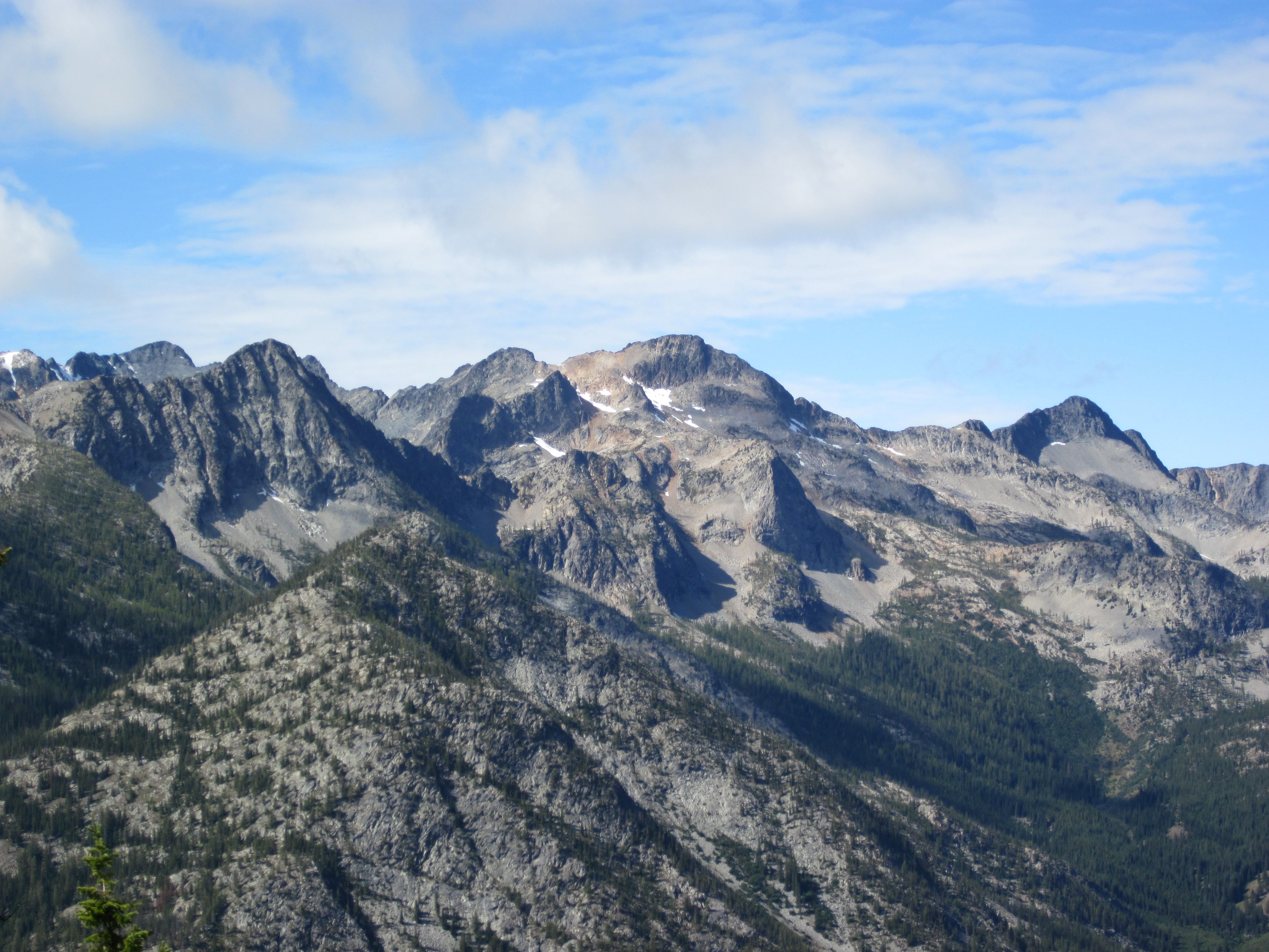
Related Photos:

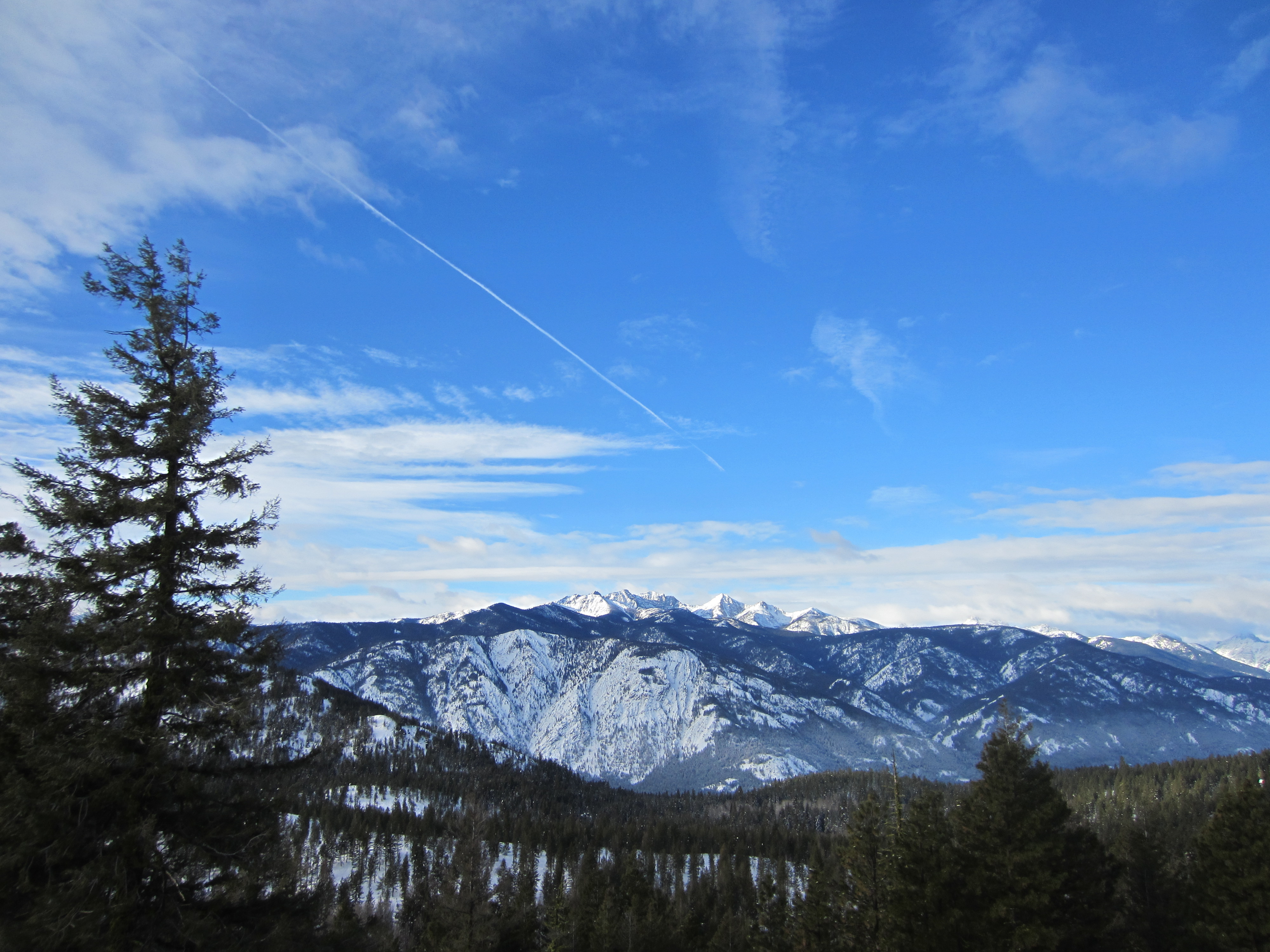
View from Rendezvous Hut, closeup
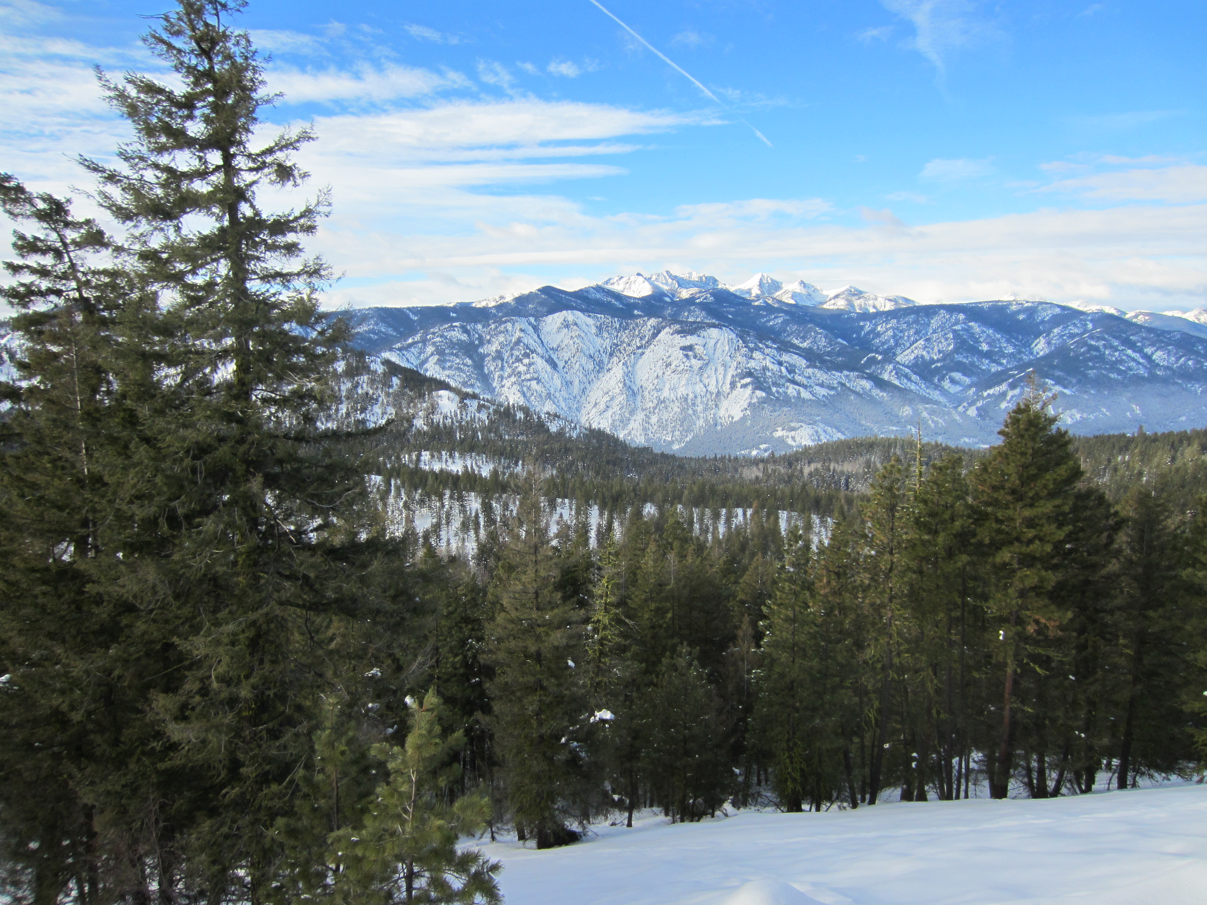
View from Rendezvous Hut

View from Rendezvous Hut, closeup 2
View from Rendezvous Hut, bluer skies

Cougar Mountain

Methow Valley, closeup
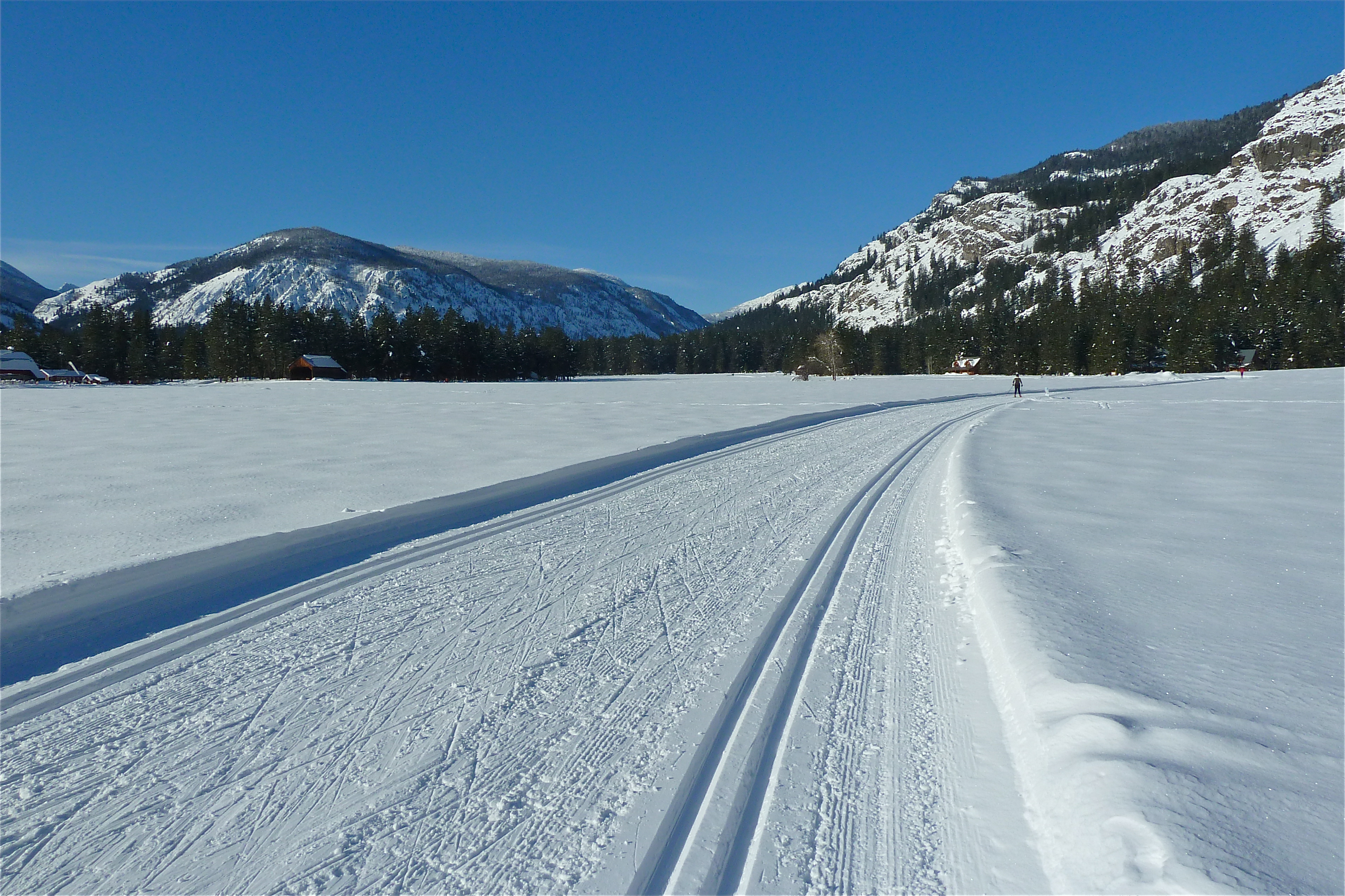
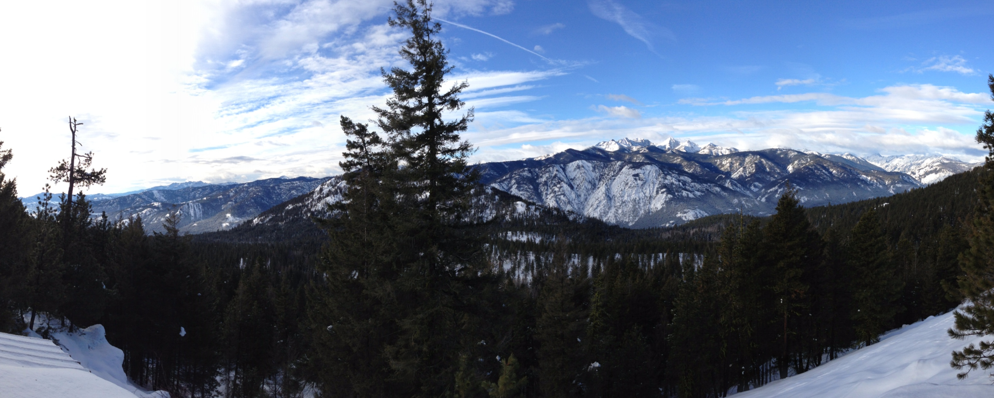
Ski View Near Mazama

Checking out the view at lunch with Pargetter's help
Birds eye view
View from Grizzly Hut
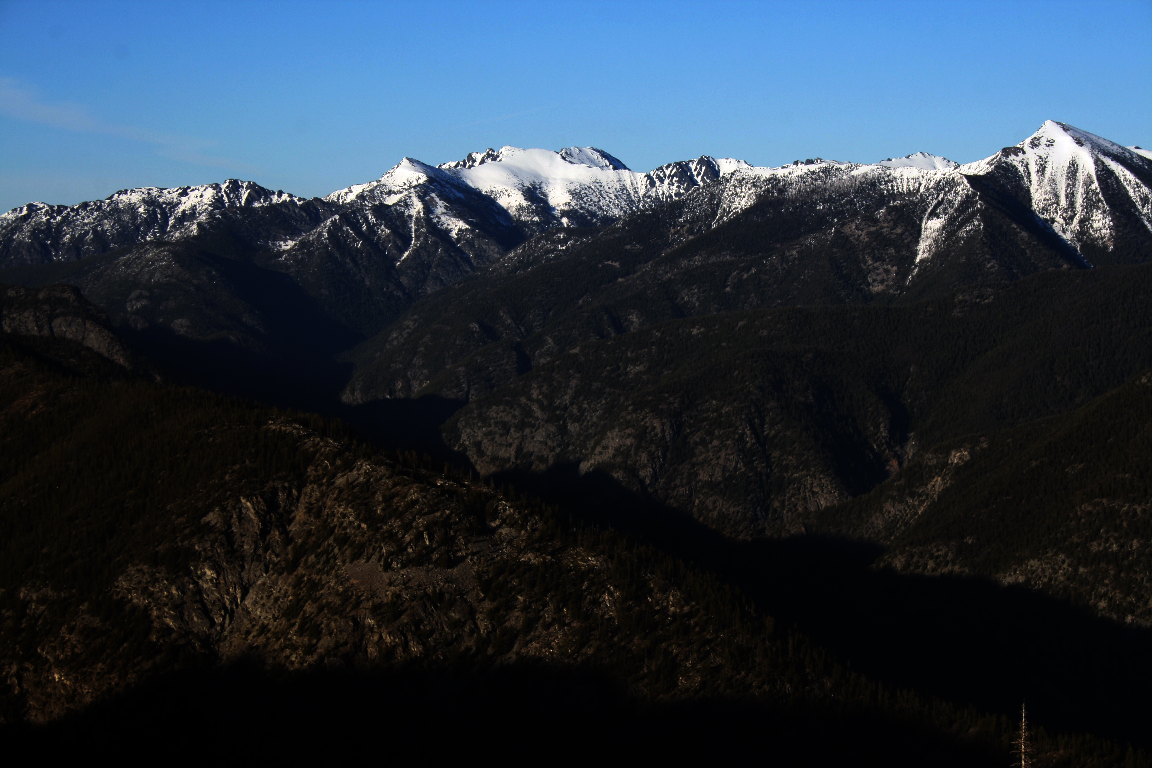
West and Big Craggy
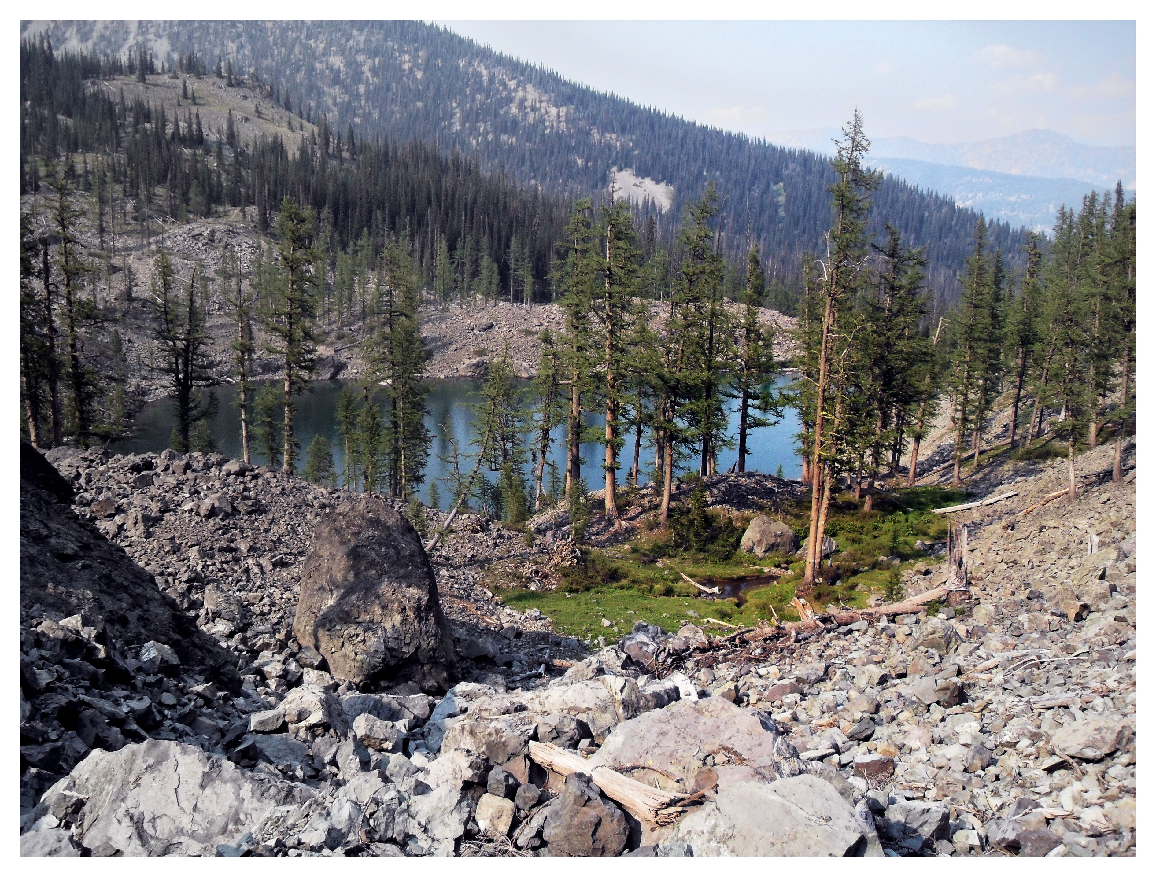
View from camp
View west towards Robinson
View east from camp
View from Rendezvous Hut
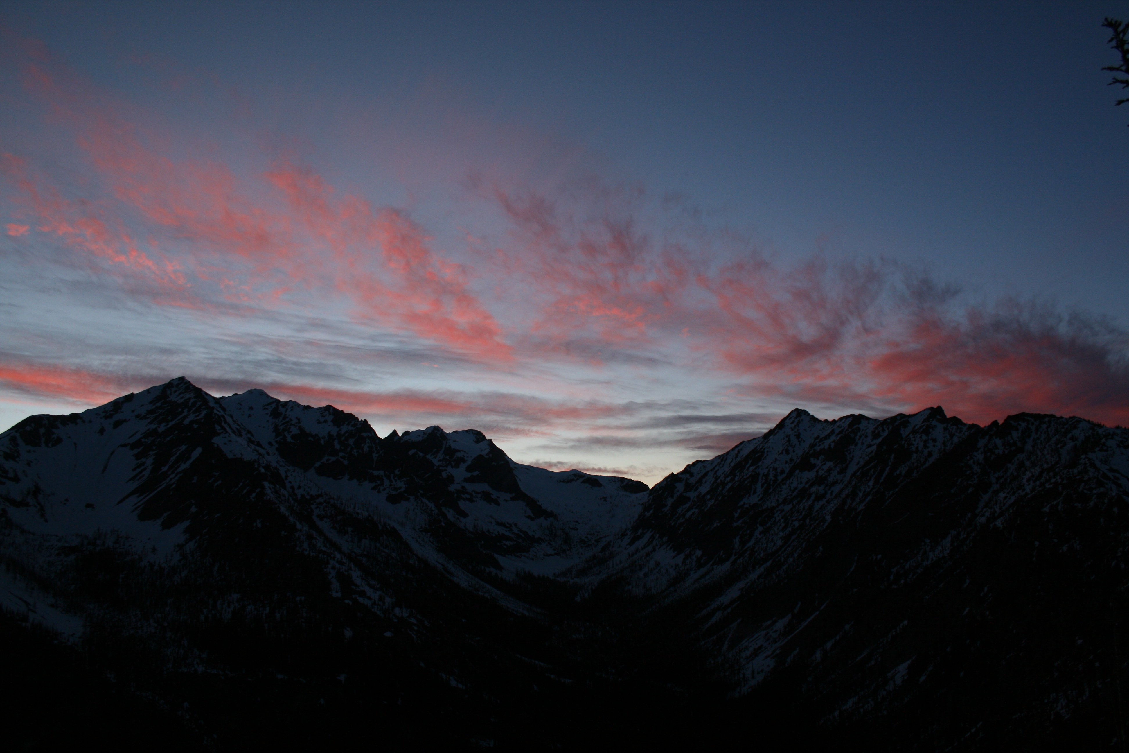
View towards Robinson at sunset

View west from camp
Topographic Map of Goat Peak, Washington, USA
Find elevation by address:

Places near Goat Peak, Washington, USA:
Mazama
North Cascade Heli-skiing
Setting Sun Mountain
8 Cottonwood Cir
Lost River Resort
Early Winters Creek
Beauty Peak
Lake Mountain
Lost Peak
Abernathy Ridge
Robinson Mountain
Abernathy Peak
Rampart Ridge
Silver Star Mountain
Pass Butte
Vasiliki Ridge
Midnight Mountain
Rampart Ridge North
Snagtooth Ridge
604 Patterson Lake Rd
Recent Searches:
- Elevation of Corso Fratelli Cairoli, 35, Macerata MC, Italy
- Elevation of Tallevast Rd, Sarasota, FL, USA
- Elevation of 4th St E, Sonoma, CA, USA
- Elevation of Black Hollow Rd, Pennsdale, PA, USA
- Elevation of Oakland Ave, Williamsport, PA, USA
- Elevation of Pedrógão Grande, Portugal
- Elevation of Klee Dr, Martinsburg, WV, USA
- Elevation of Via Roma, Pieranica CR, Italy
- Elevation of Tavkvetili Mountain, Georgia
- Elevation of Hartfords Bluff Cir, Mt Pleasant, SC, USA