Elevation of Murderers Creek, Oregon, USA
Location: United States > Oregon > Grant County > Dayville >
Longitude: -119.35247
Latitude: 44.2863436
Elevation: 1467m / 4813feet
Barometric Pressure: 85KPa
Elevation Map:
Satellite Map:
Related Photos:
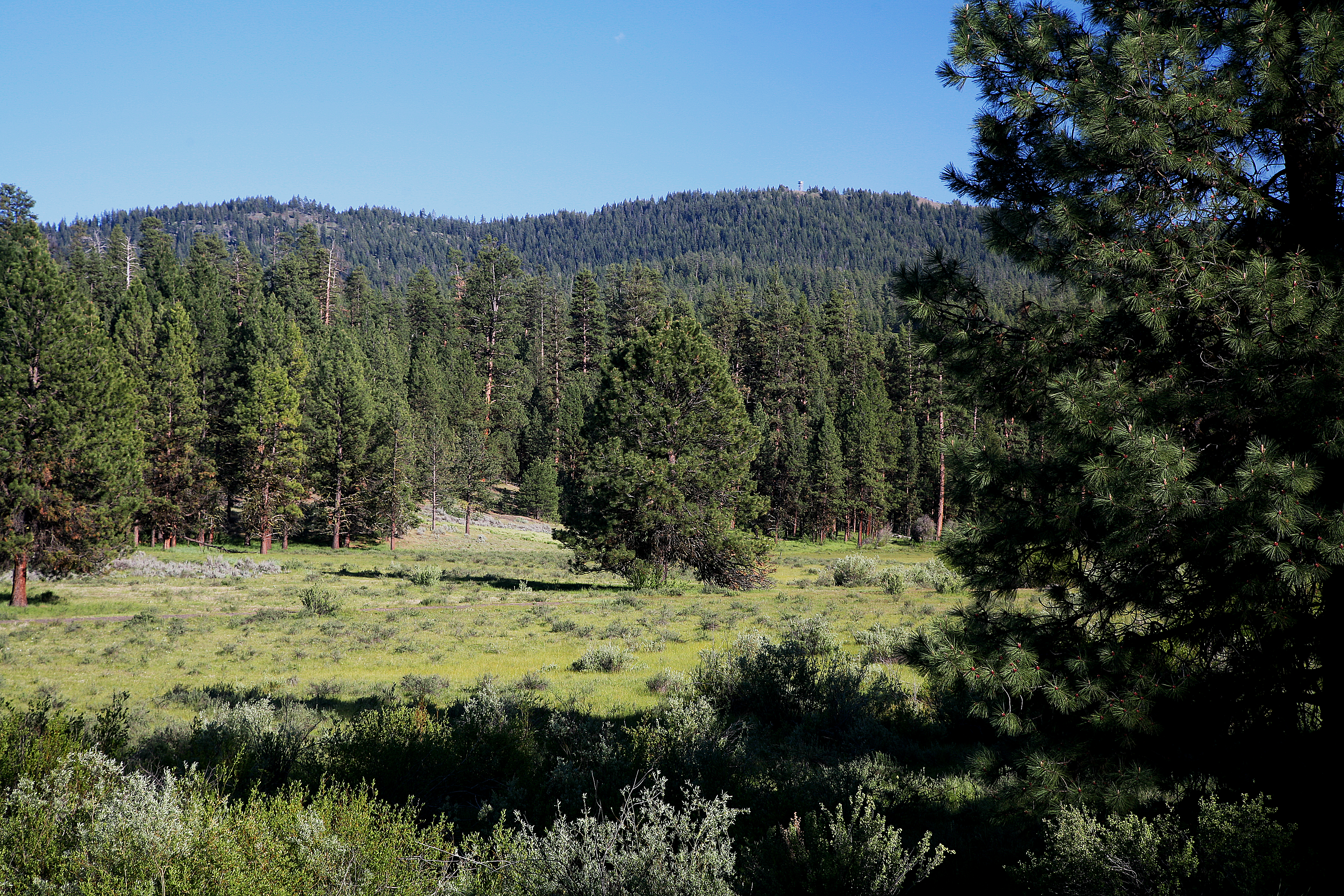
Grassland & Forest along Deer Creek-Malheur
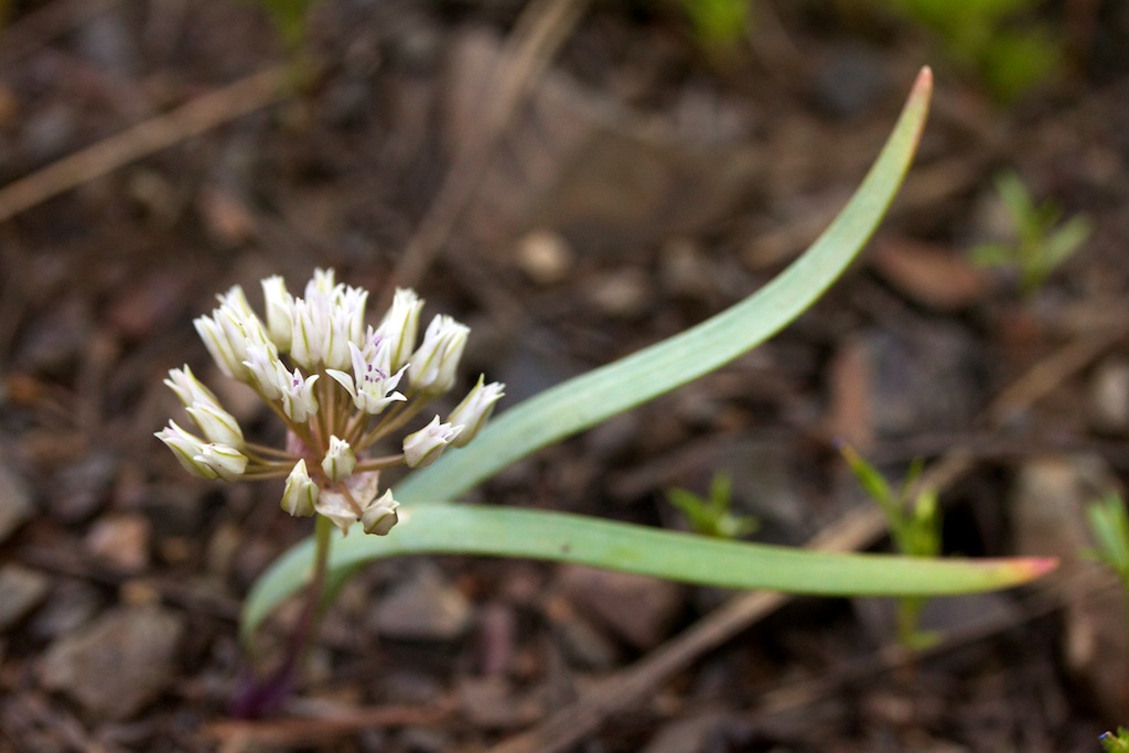
Allium tolmiei var. tolmiei (Liliaceae); Tolmie's onion
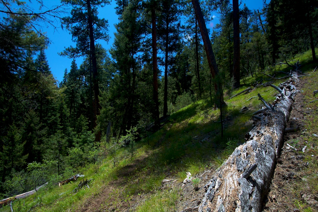
Riley Creek trail
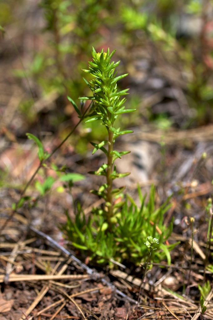
Sedum stenopetalum (Crassulaceae); Worm-leaf stonecrop
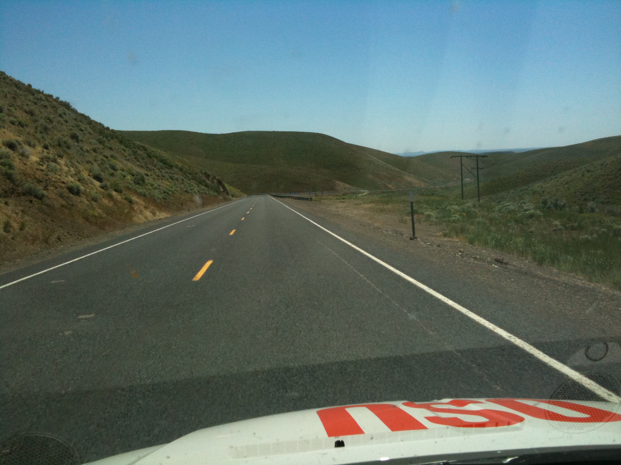
Orange Tour Day 3
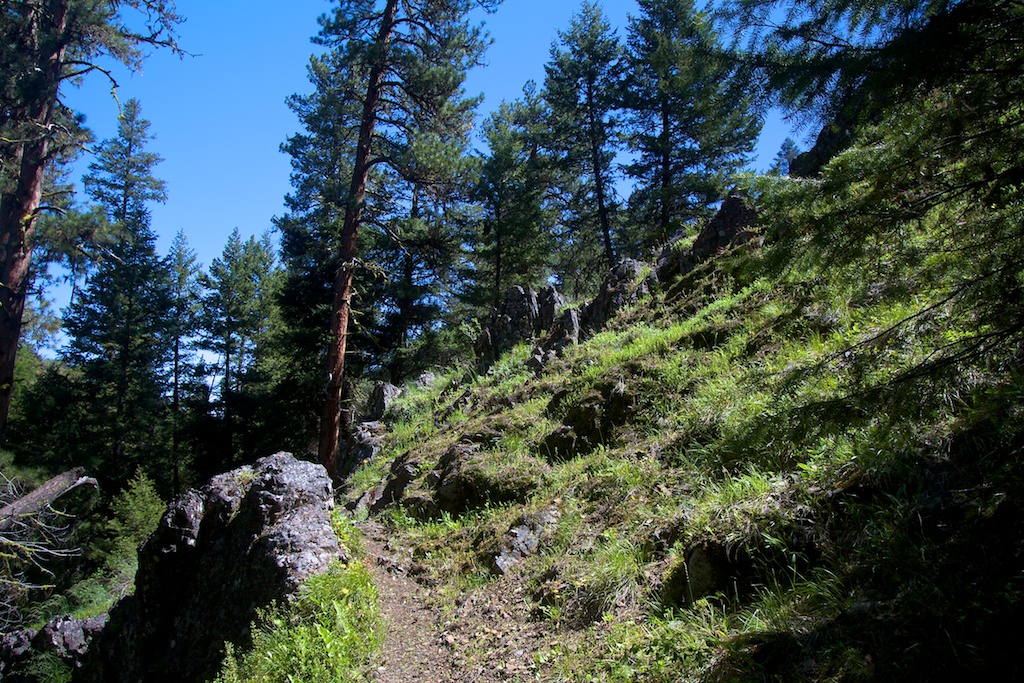
Riley Creek trail
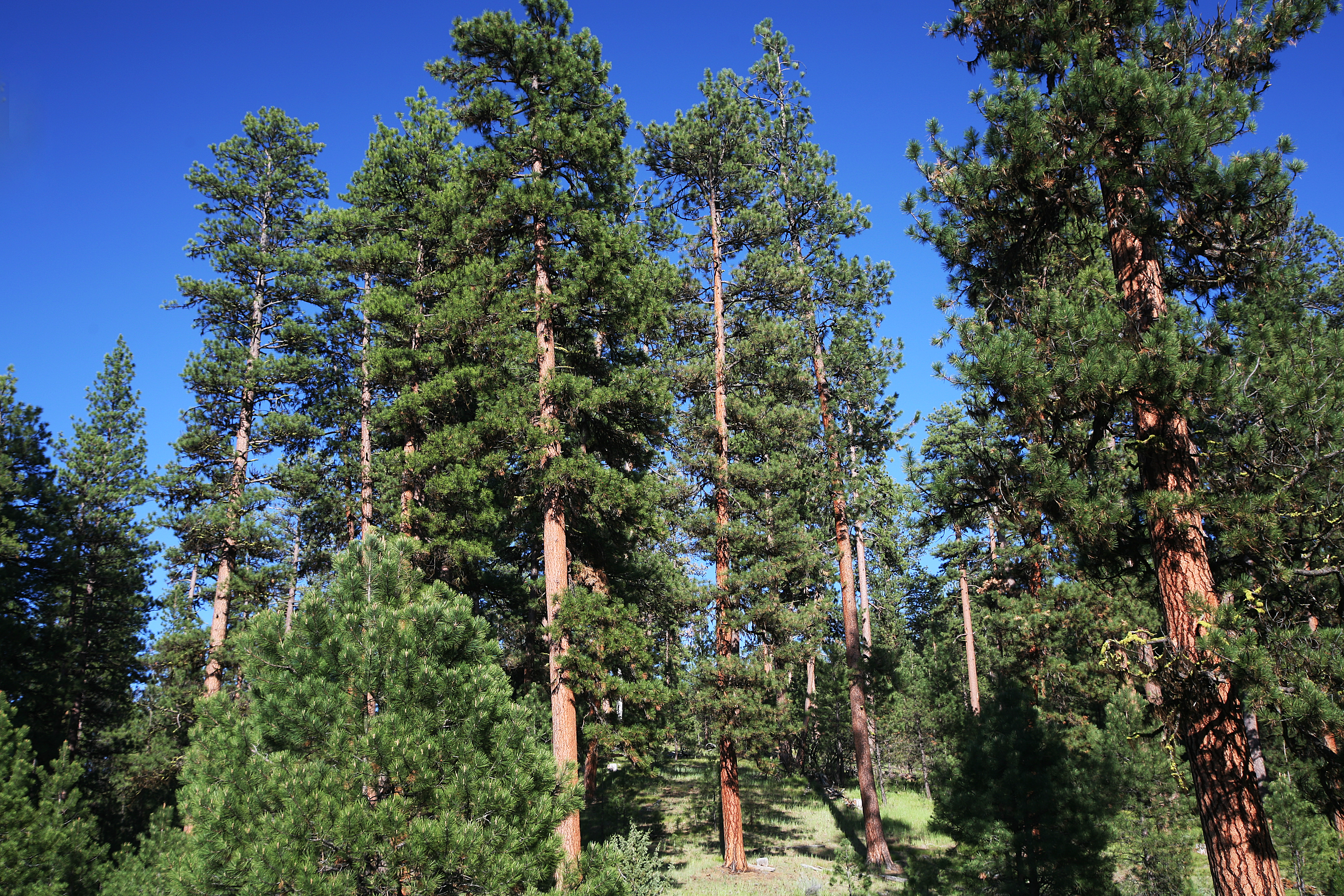
Ponderosa Pine Stand at Deer Creek-Malheur
Field by Deer Creek Cabin-Malheur
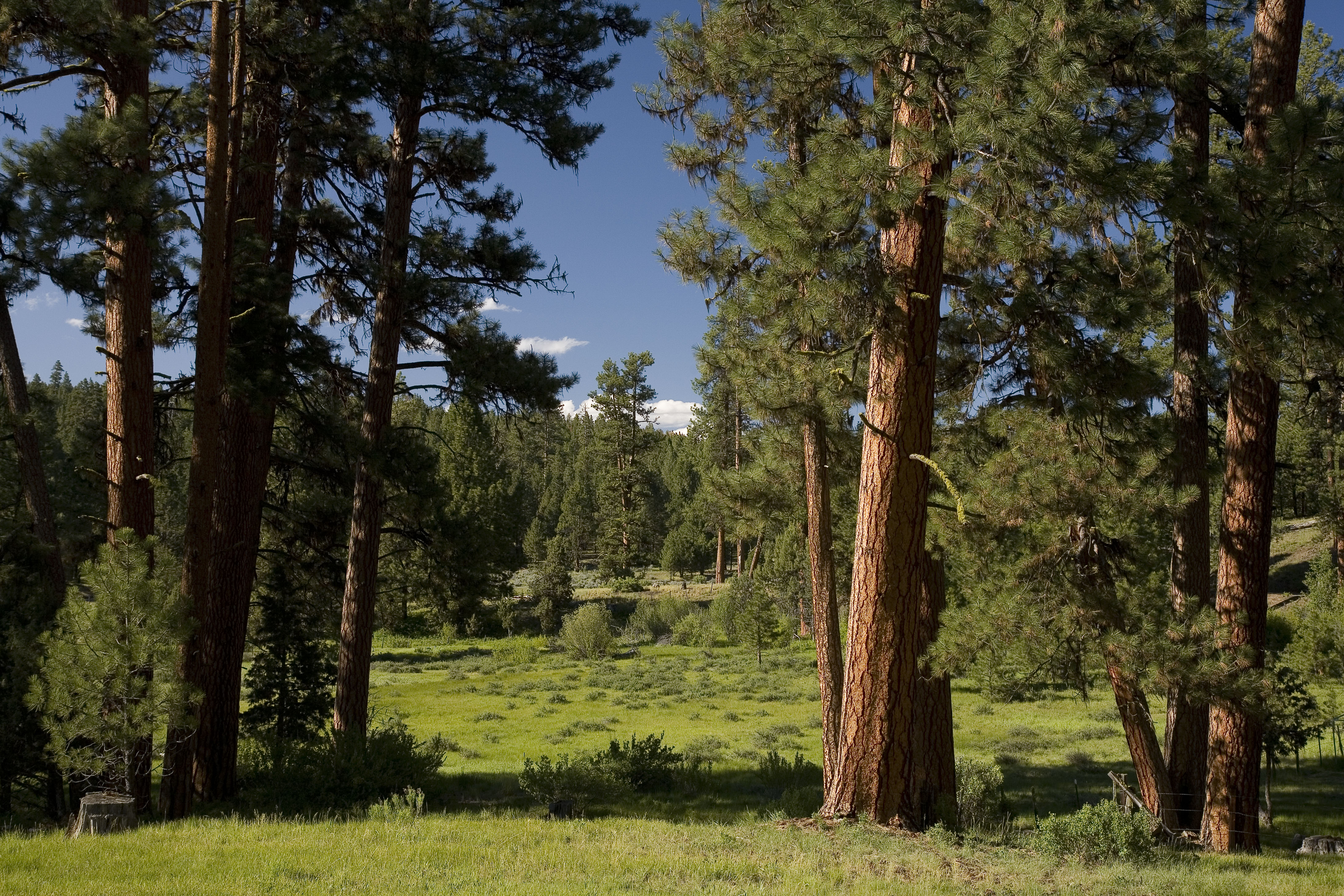
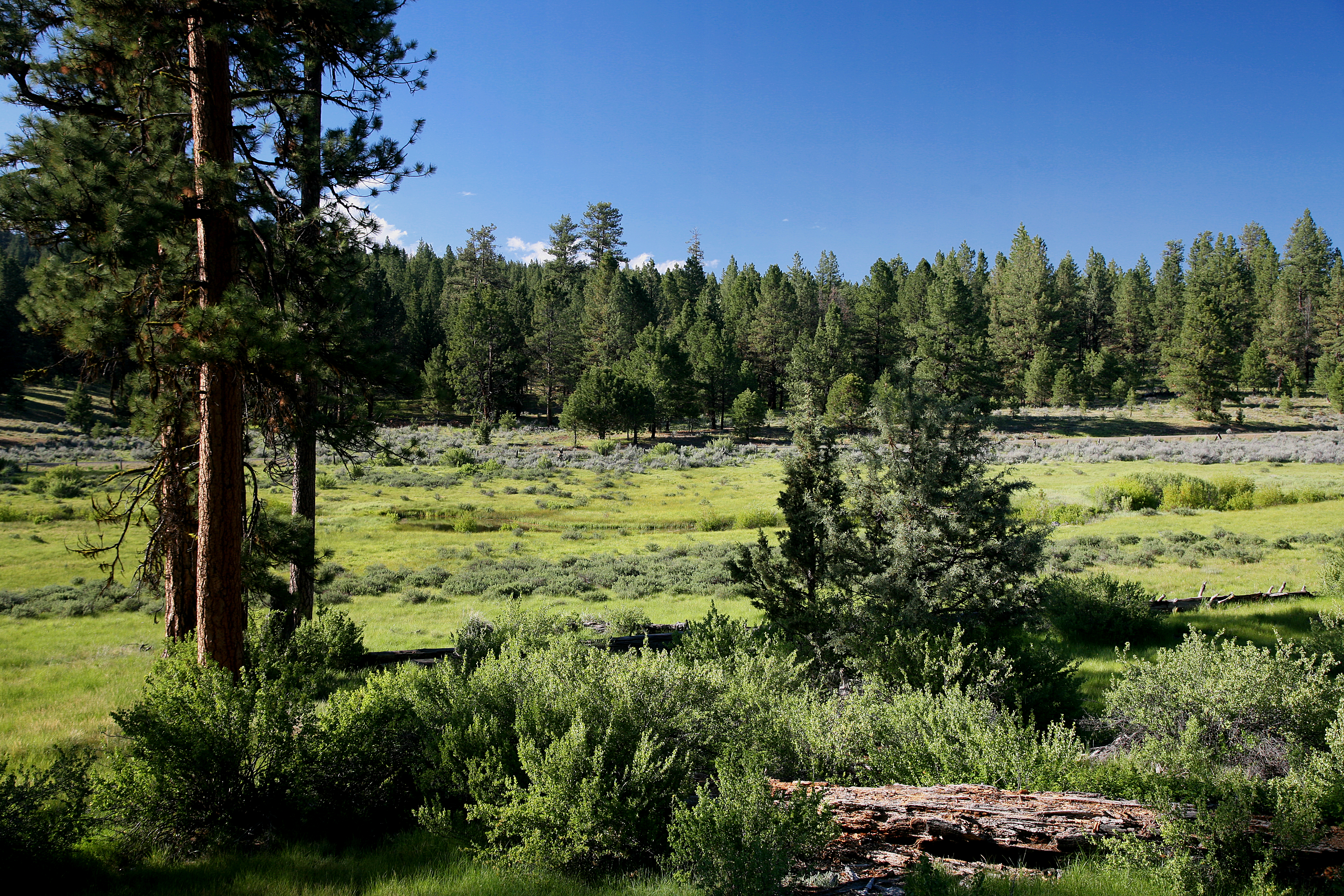
Ponderosa Pines and Grassy Valley-Malheur
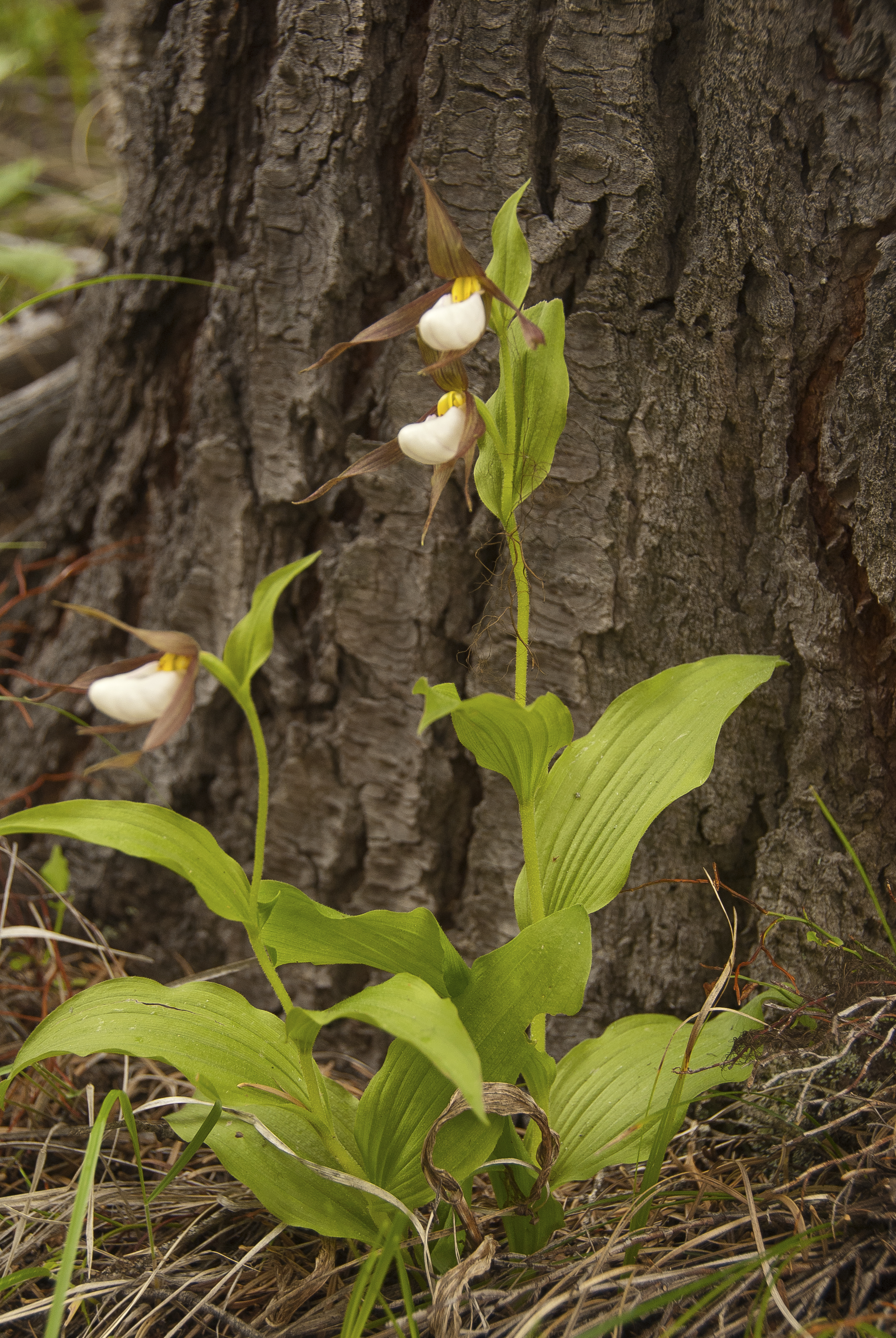
White Lady slippers 6-12-2012
Topographic Map of Murderers Creek, Oregon, USA
Find elevation by address:

Places near Murderers Creek, Oregon, USA:
Harper Creek Road
Canyon City
John Day
144 N Canyon Blvd
John Day, OR, USA
Grant County
Long Creek
Monument
Front St, Prairie City, OR, USA
Dale
Bates
County Road 20a
Granite
Sumpter
Bourne
Anthony Lakes
Recent Searches:
- Elevation of Congressional Dr, Stevensville, MD, USA
- Elevation of Bellview Rd, McLean, VA, USA
- Elevation of Stage Island Rd, Chatham, MA, USA
- Elevation of Shibuya Scramble Crossing, 21 Udagawacho, Shibuya City, Tokyo -, Japan
- Elevation of Jadagoniai, Kaunas District Municipality, Lithuania
- Elevation of Pagonija rock, Kranto 7-oji g. 8"N, Kaunas, Lithuania
- Elevation of Co Rd 87, Jamestown, CO, USA
- Elevation of Tenjo, Cundinamarca, Colombia
- Elevation of Côte-des-Neiges, Montreal, QC H4A 3J6, Canada
- Elevation of Bobcat Dr, Helena, MT, USA