Elevation of Monument, OR, USA
Location: United States > Oregon > Grant County >
Longitude: -119.42110
Latitude: 44.819314
Elevation: 613m / 2011feet
Barometric Pressure: 94KPa
Elevation Map:
Satellite Map:
Related Photos:
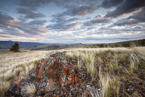
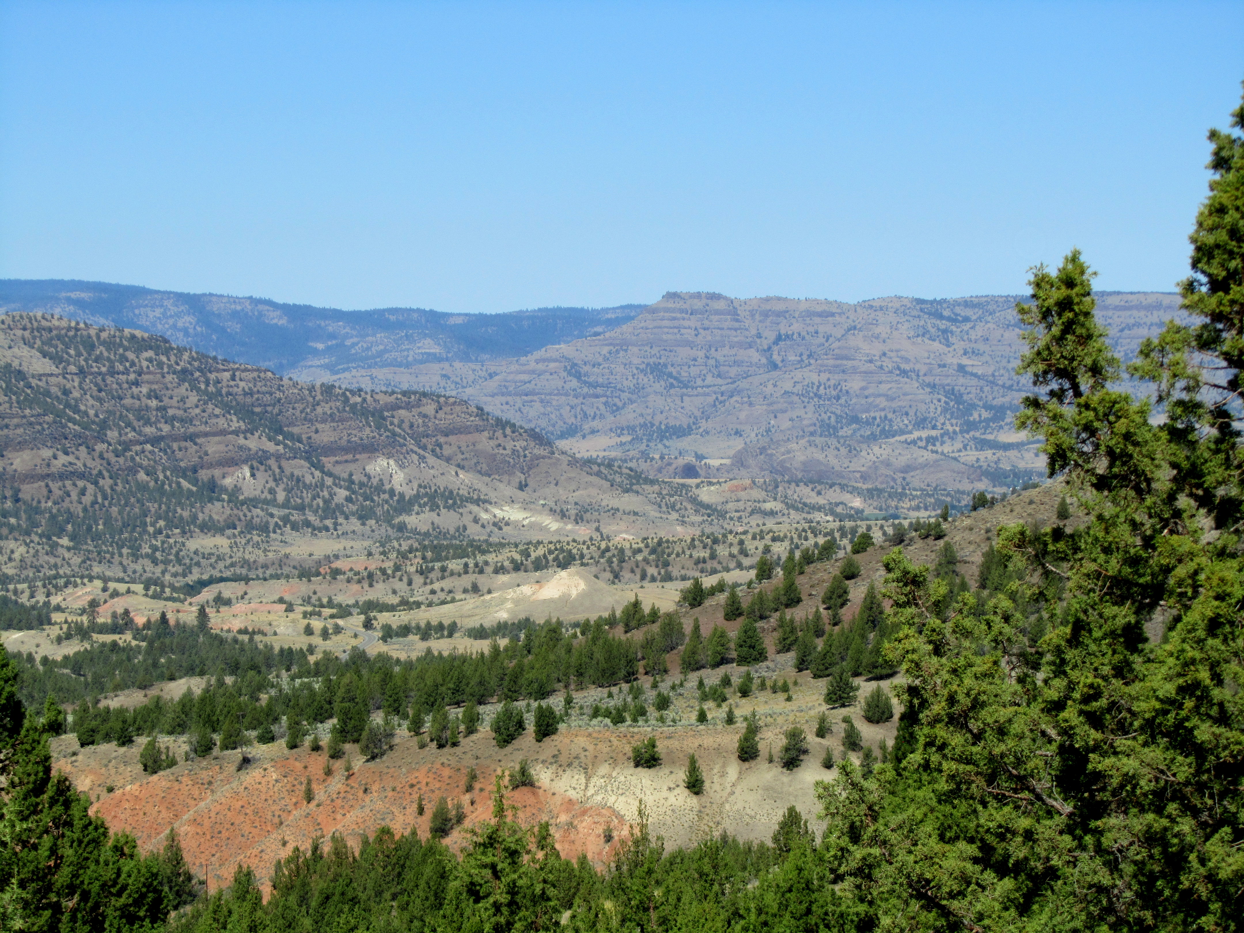
Lichen the High Desert: Eastern Oregon

High Desert Nightscape: Monument, Oregon
IMG_4979.jpg
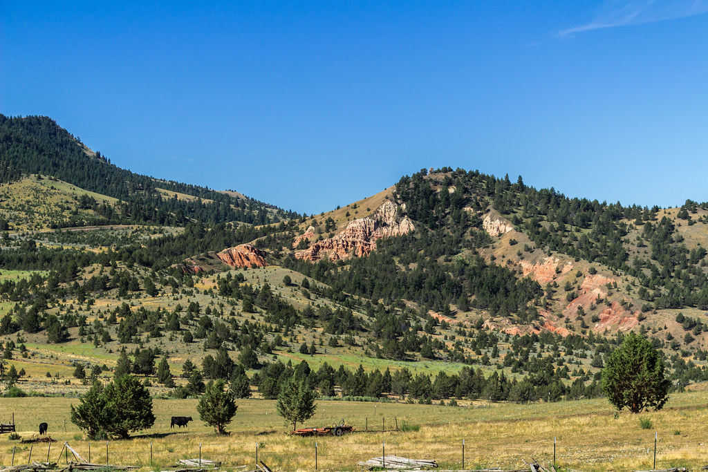
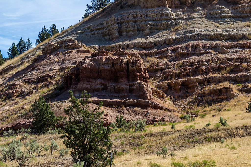
Monument, Oregon
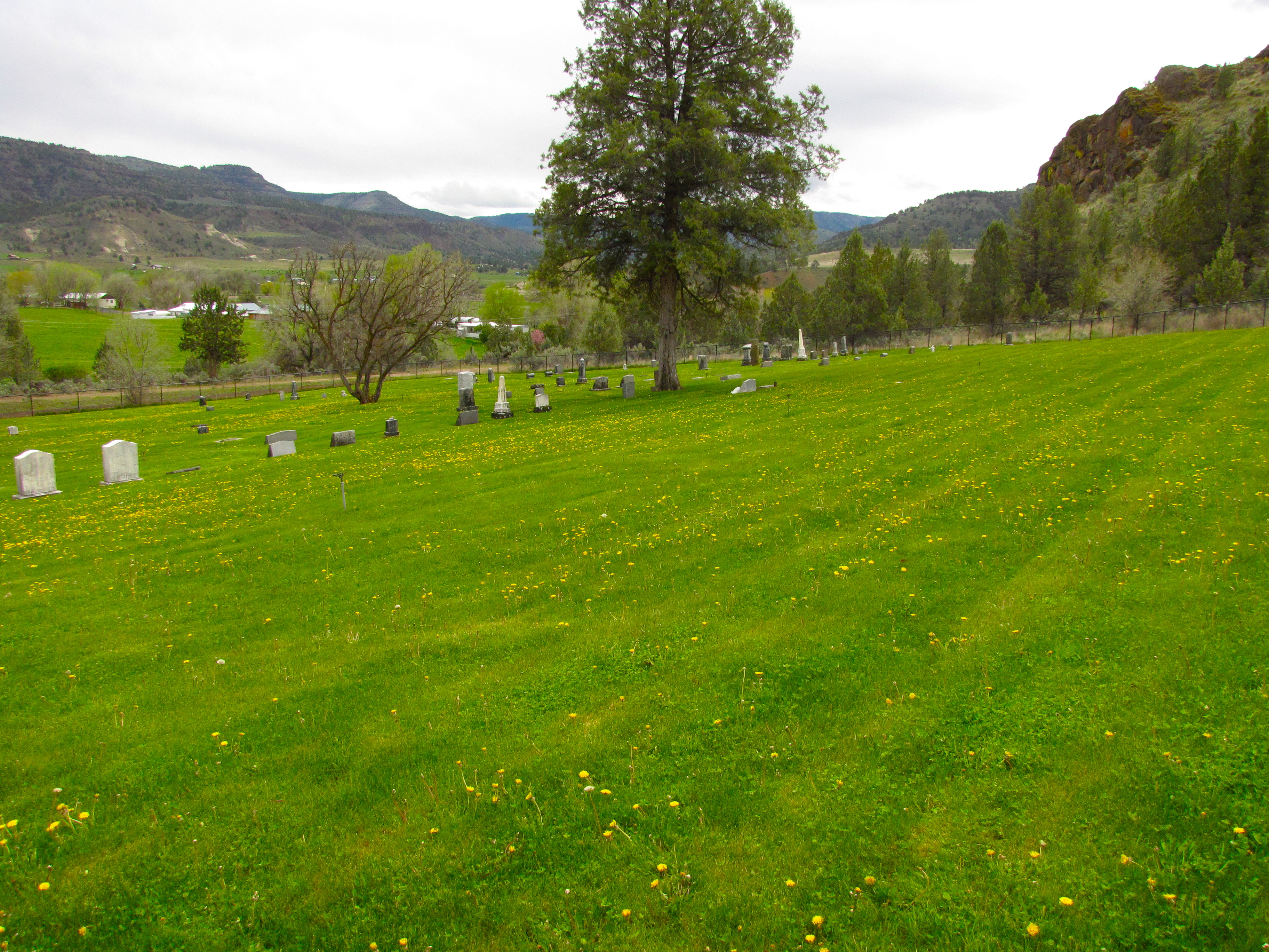
monument cemetery
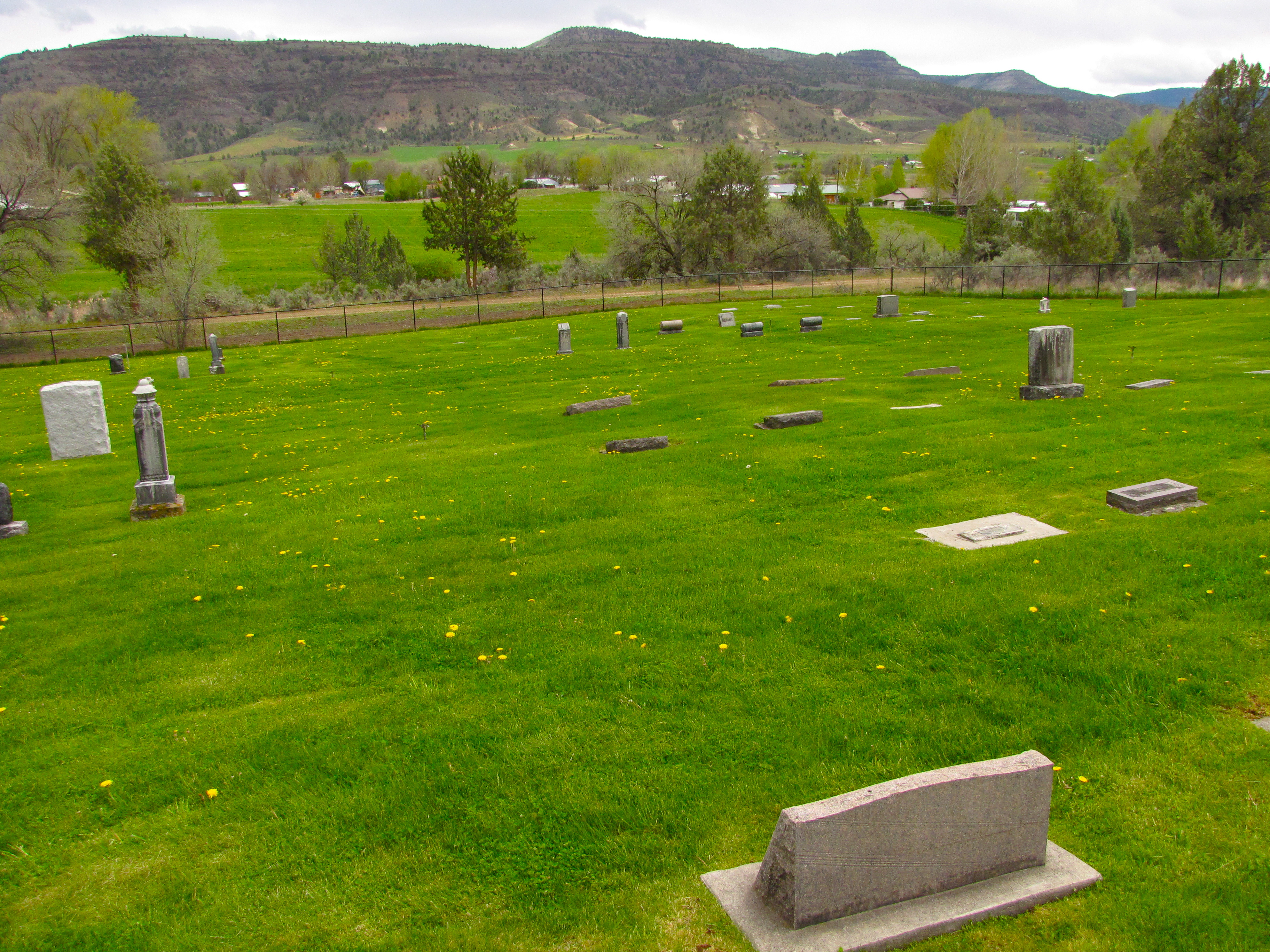
monument cemetery
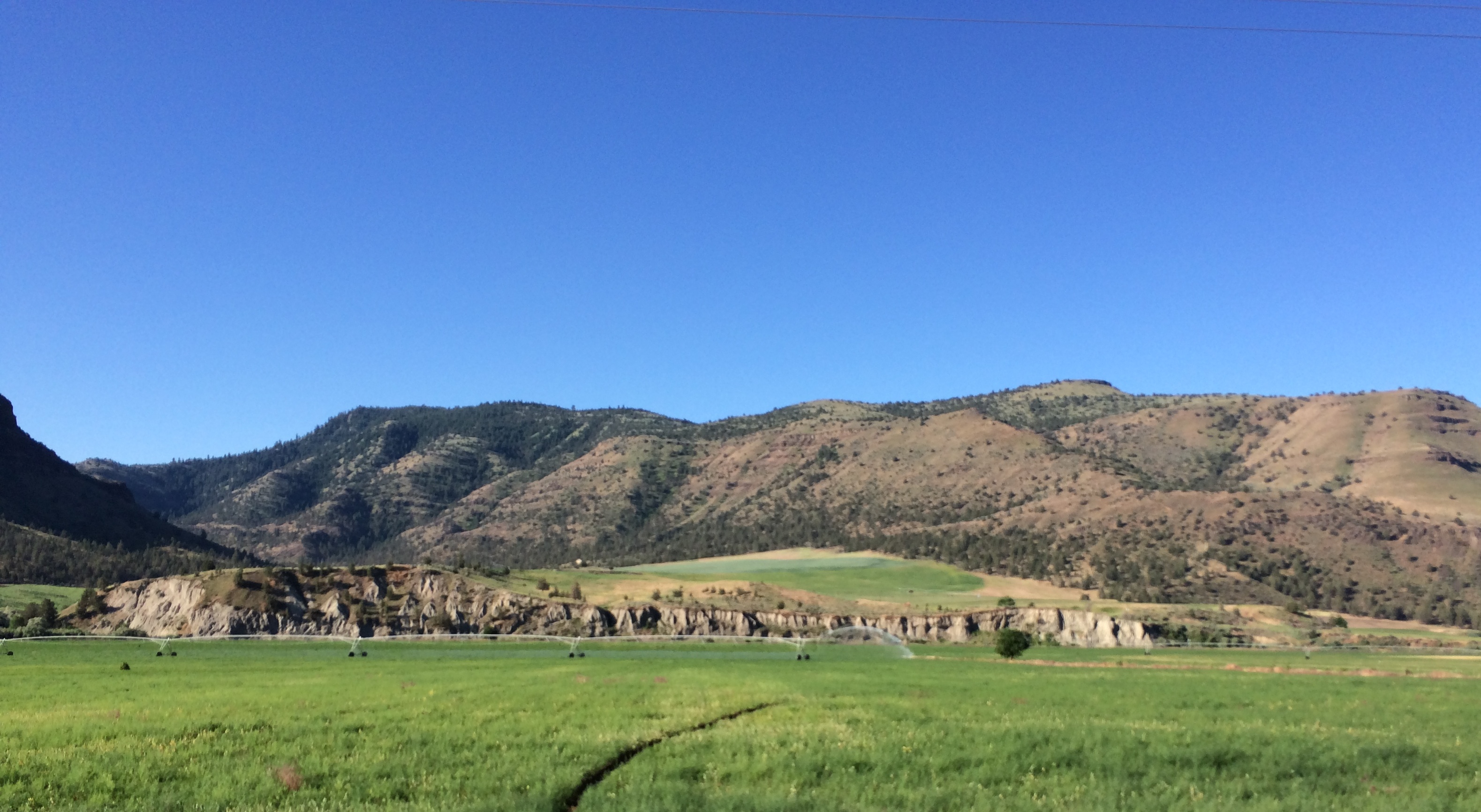
Dropping into Monument
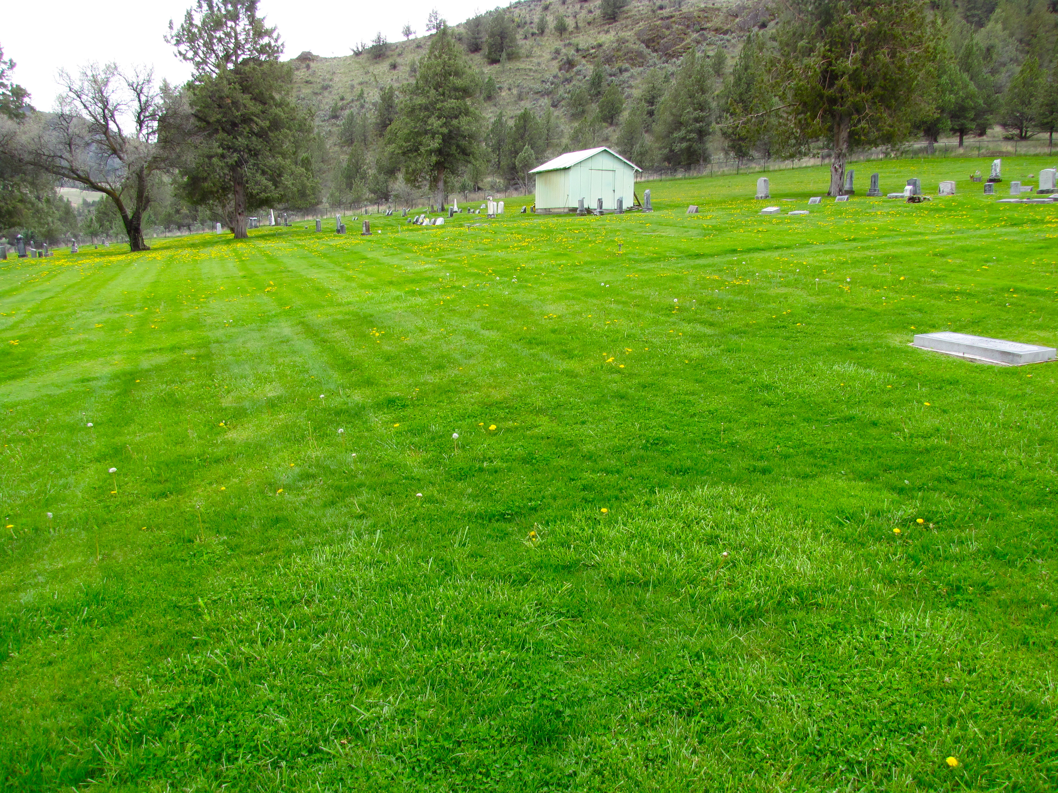
monument cemetery
IMG_4981.jpg
Topographic Map of Monument, OR, USA
Find elevation by address:

Places near Monument, OR, USA:
Long Creek
Dale
Harper Creek Road
Murderers Creek
John Day, OR, USA
144 N Canyon Blvd
John Day
Canyon City
Grant County
Front St, Prairie City, OR, USA
Bates
County Road 20a
Granite
Anthony Lakes
Sumpter
Bourne
Recent Searches:
- Elevation of 3 Nestling Wood Dr, Long Valley, NJ, USA
- Elevation of Ilungu, Tanzania
- Elevation of Yellow Springs Road, Yellow Springs Rd, Chester Springs, PA, USA
- Elevation of Rēzekne Municipality, Latvia
- Elevation of Plikpūrmaļi, Vērēmi Parish, Rēzekne Municipality, LV-, Latvia
- Elevation of 2 Henschke Ct, Caboolture QLD, Australia
- Elevation of Redondo Ave, Long Beach, CA, USA
- Elevation of Sadovaya Ulitsa, 20, Rezh, Sverdlovskaya oblast', Russia
- Elevation of Ulitsa Kalinina, 79, Rezh, Sverdlovskaya oblast', Russia
- Elevation of 72-31 Metropolitan Ave, Middle Village, NY, USA