Elevation of Long Creek, OR, USA
Location: United States > Oregon > Grant County >
Longitude: -119.10413
Latitude: 44.714042
Elevation: 1140m / 3740feet
Barometric Pressure: 88KPa
Elevation Map:
Satellite Map:
Related Photos:

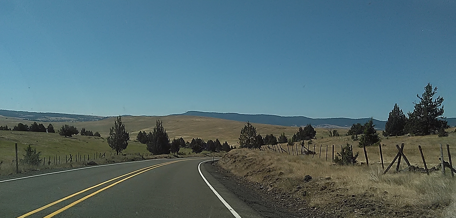
395 North of John Day
Pilot Rock to Lakeview OR
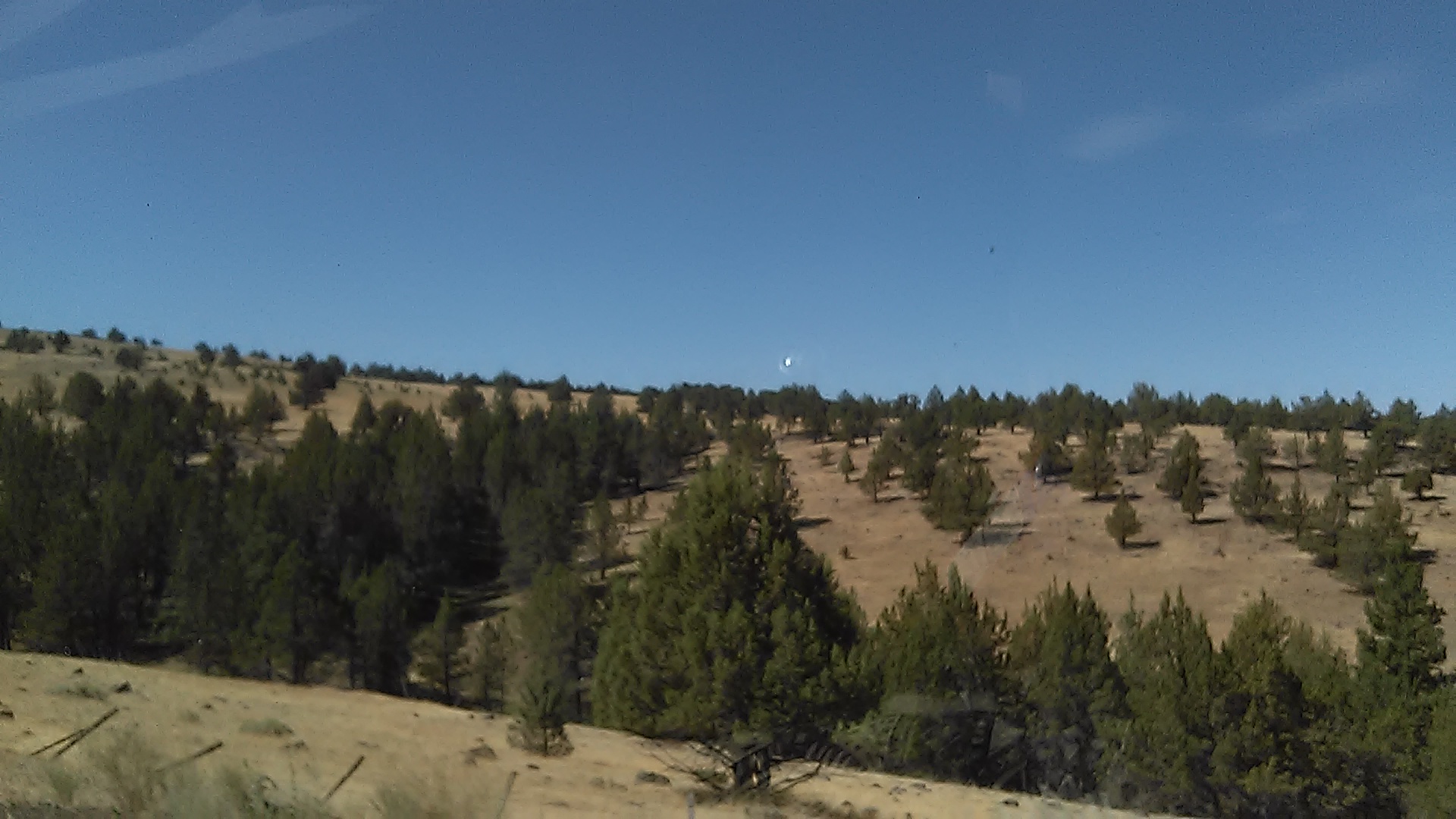
rural Oregon
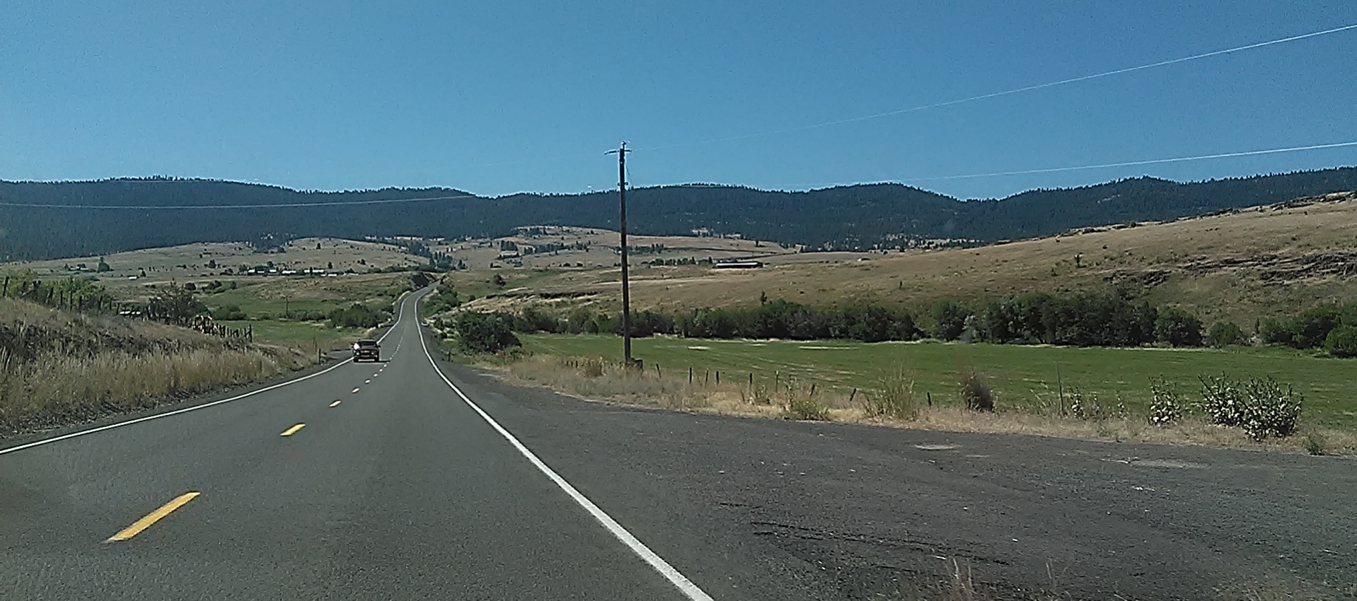
Driving to Lakeview

driving to Lakeview on 395
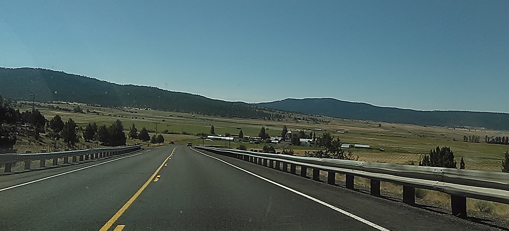
Eastern OR, driving from Pilot Rock to Lakeview
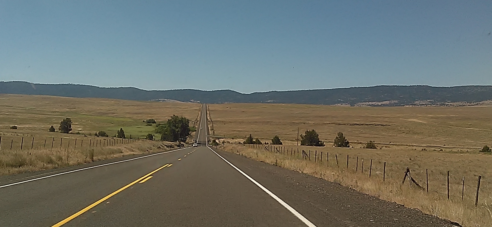
Hwy 395
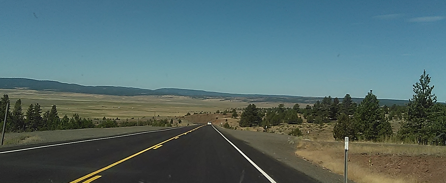
Driving Pilot Rock OR to Lakeview

driving home from Lakeview OR

Central Oregon
Topographic Map of Long Creek, OR, USA
Find elevation by address:

Places near Long Creek, OR, USA:
Dale
John Day, OR, USA
Harper Creek Road
144 N Canyon Blvd
Monument
John Day
Grant County
Canyon City
Front St, Prairie City, OR, USA
Murderers Creek
Bates
County Road 20a
Granite
Sumpter
Anthony Lakes
Bourne
Recent Searches:
- Elevation of 3 Nestling Wood Dr, Long Valley, NJ, USA
- Elevation of Ilungu, Tanzania
- Elevation of Yellow Springs Road, Yellow Springs Rd, Chester Springs, PA, USA
- Elevation of Rēzekne Municipality, Latvia
- Elevation of Plikpūrmaļi, Vērēmi Parish, Rēzekne Municipality, LV-, Latvia
- Elevation of 2 Henschke Ct, Caboolture QLD, Australia
- Elevation of Redondo Ave, Long Beach, CA, USA
- Elevation of Sadovaya Ulitsa, 20, Rezh, Sverdlovskaya oblast', Russia
- Elevation of Ulitsa Kalinina, 79, Rezh, Sverdlovskaya oblast', Russia
- Elevation of 72-31 Metropolitan Ave, Middle Village, NY, USA