Elevation of N Canyon Blvd, John Day, OR, USA
Location: United States > Oregon > Grant County > John Day >
Longitude: -118.953
Latitude: 44.4169669
Elevation: 939m / 3081feet
Barometric Pressure: 91KPa
Elevation Map:
Satellite Map:
Related Photos:
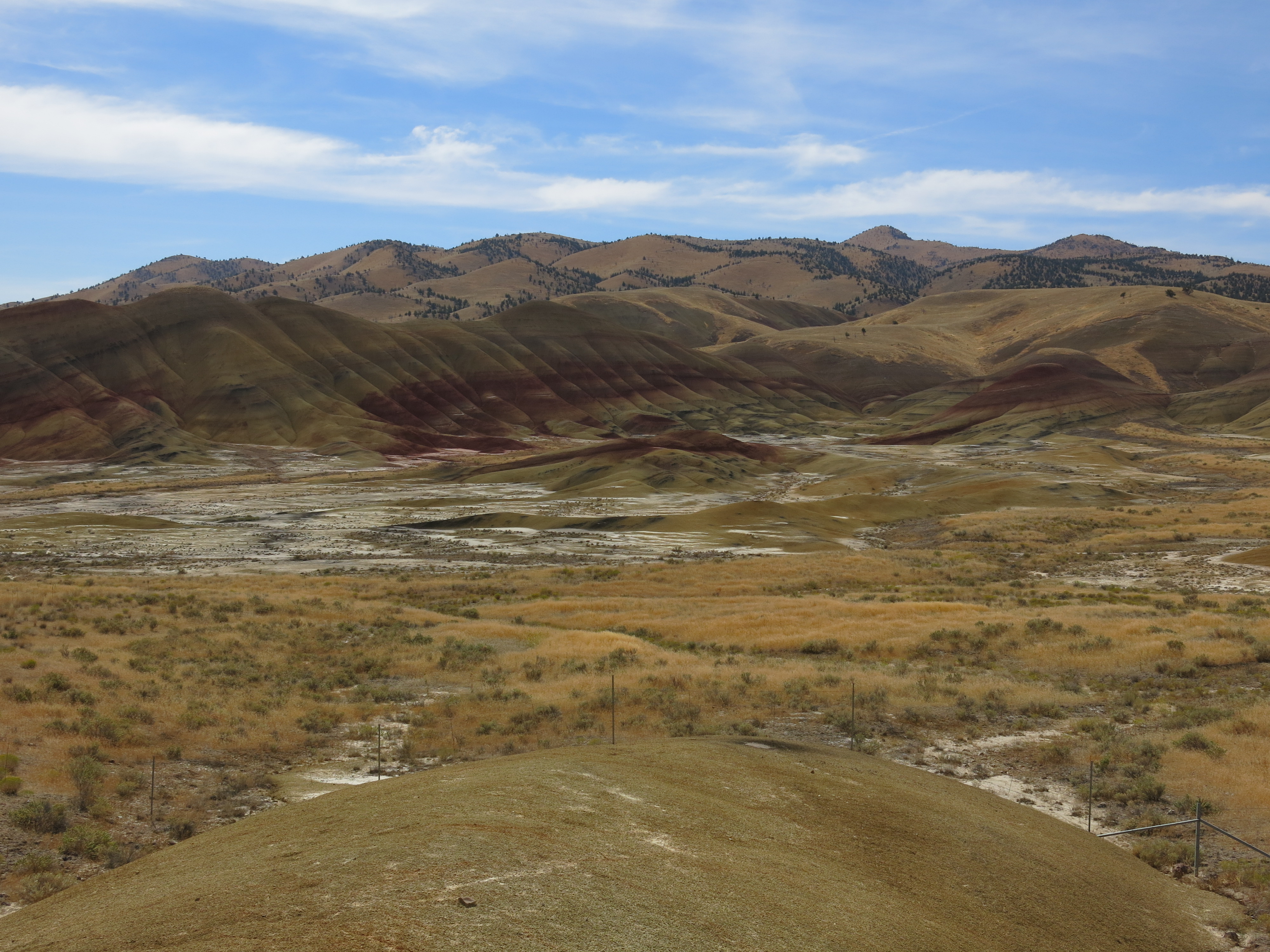
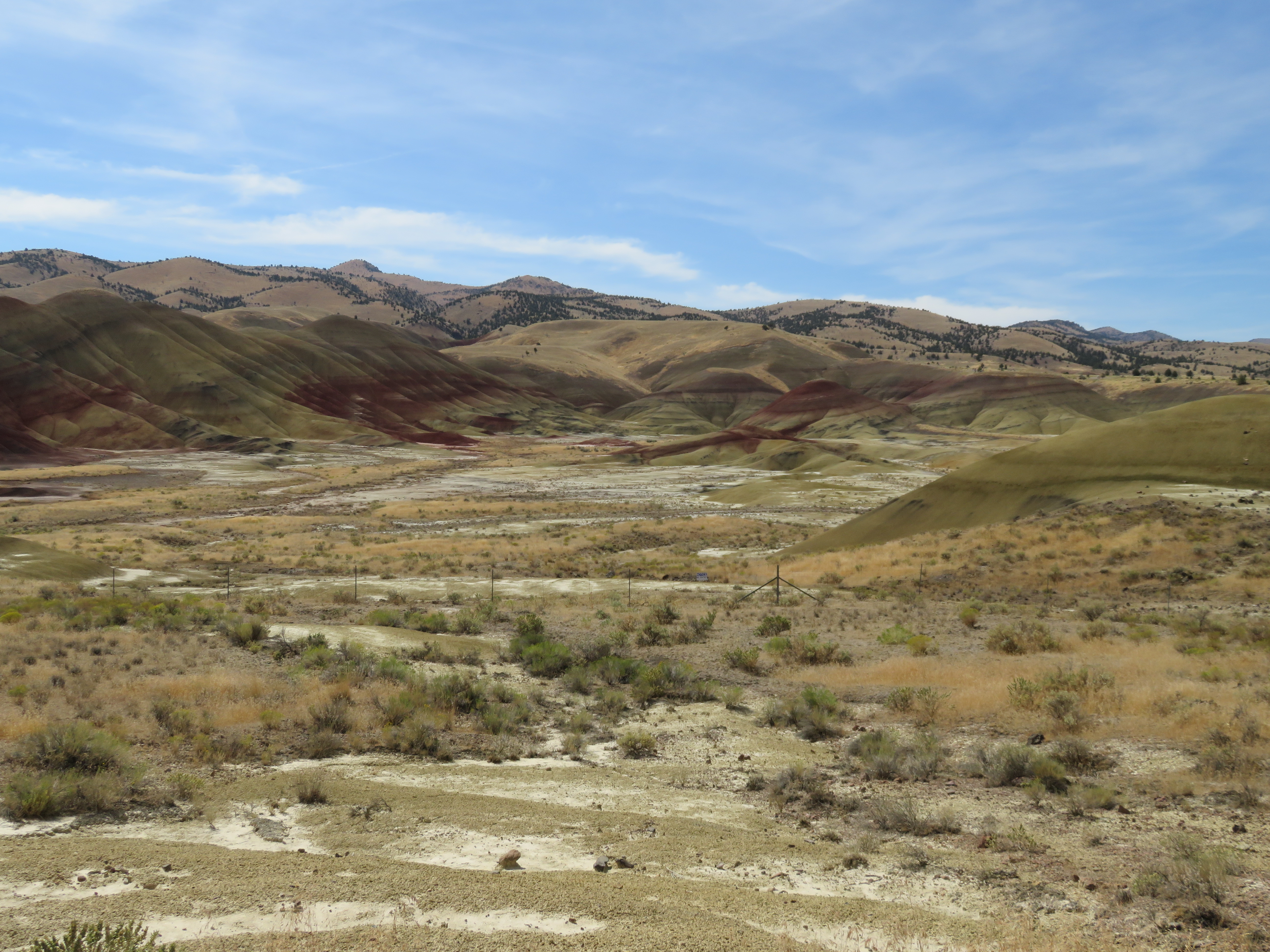
Looking West from Fall Mountain Lookout-Malheur

The view from your window
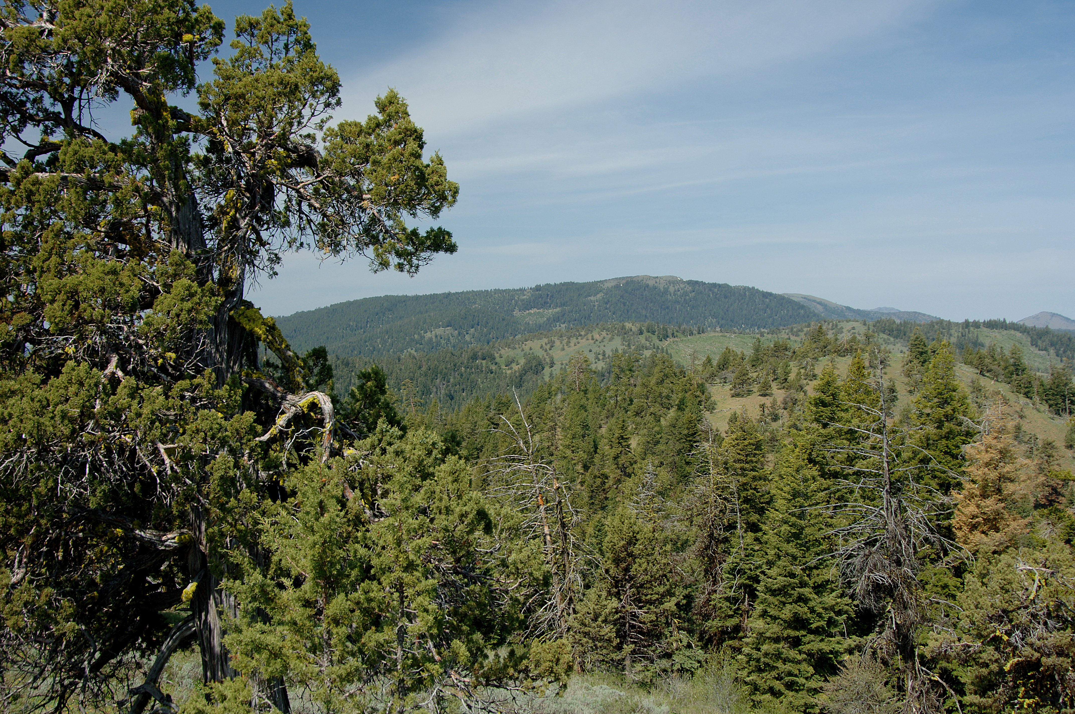
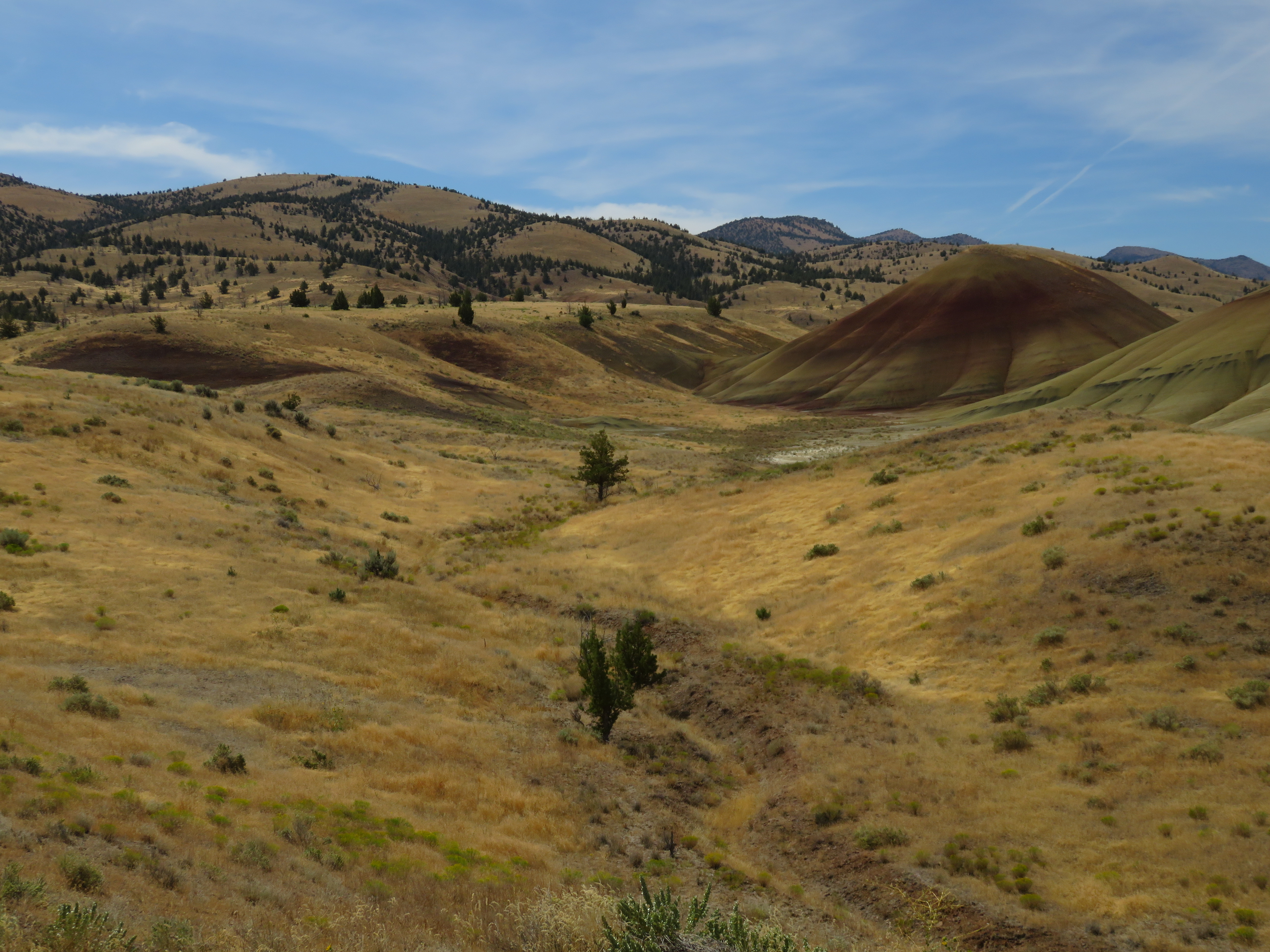
Canyon Mtn Trail
Straberry Mountain 02
Draba densifolia (Brassicaceae); Nuttall's draba
Prairie City, Elkhorn mountains and native cairn
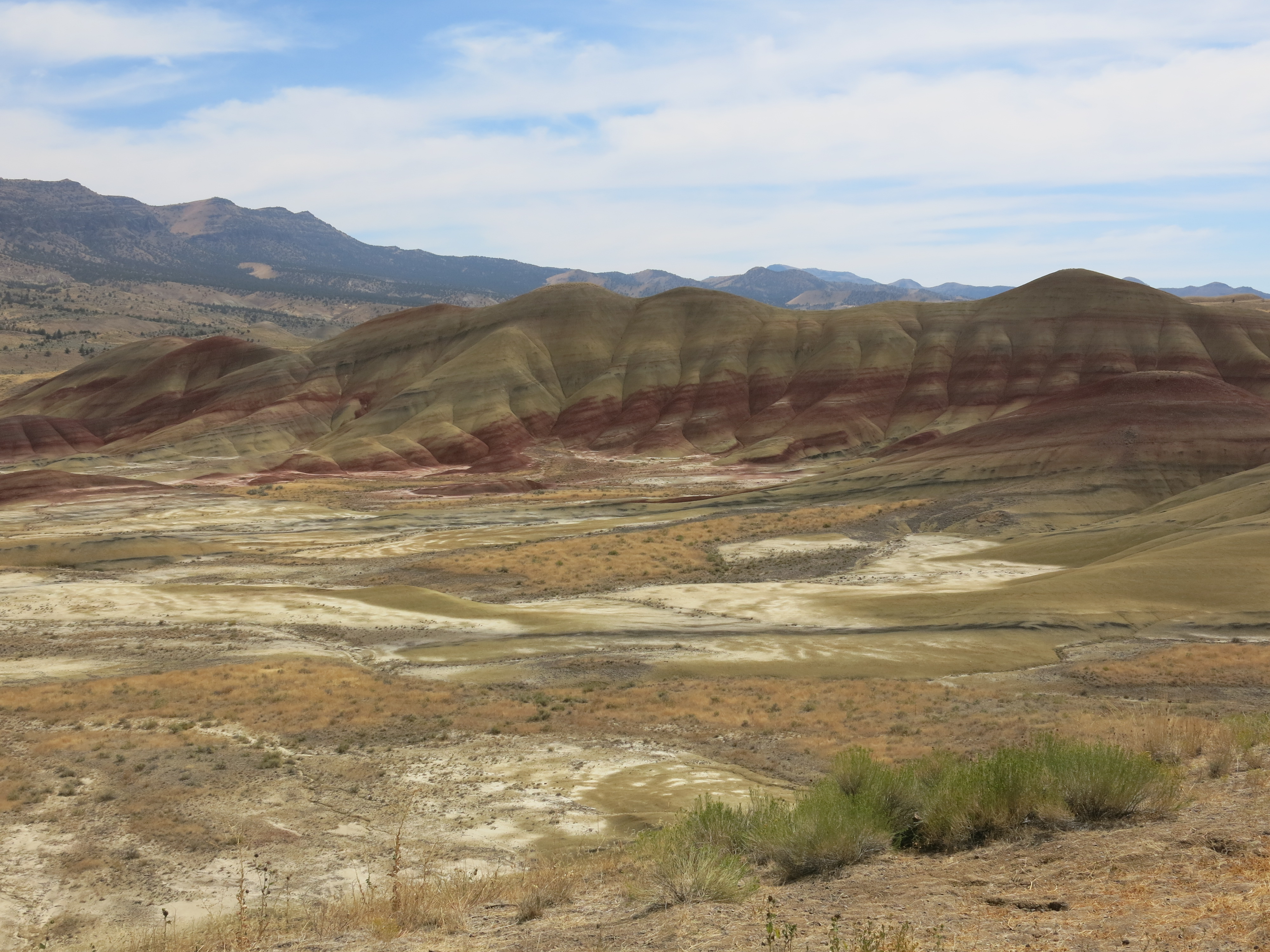
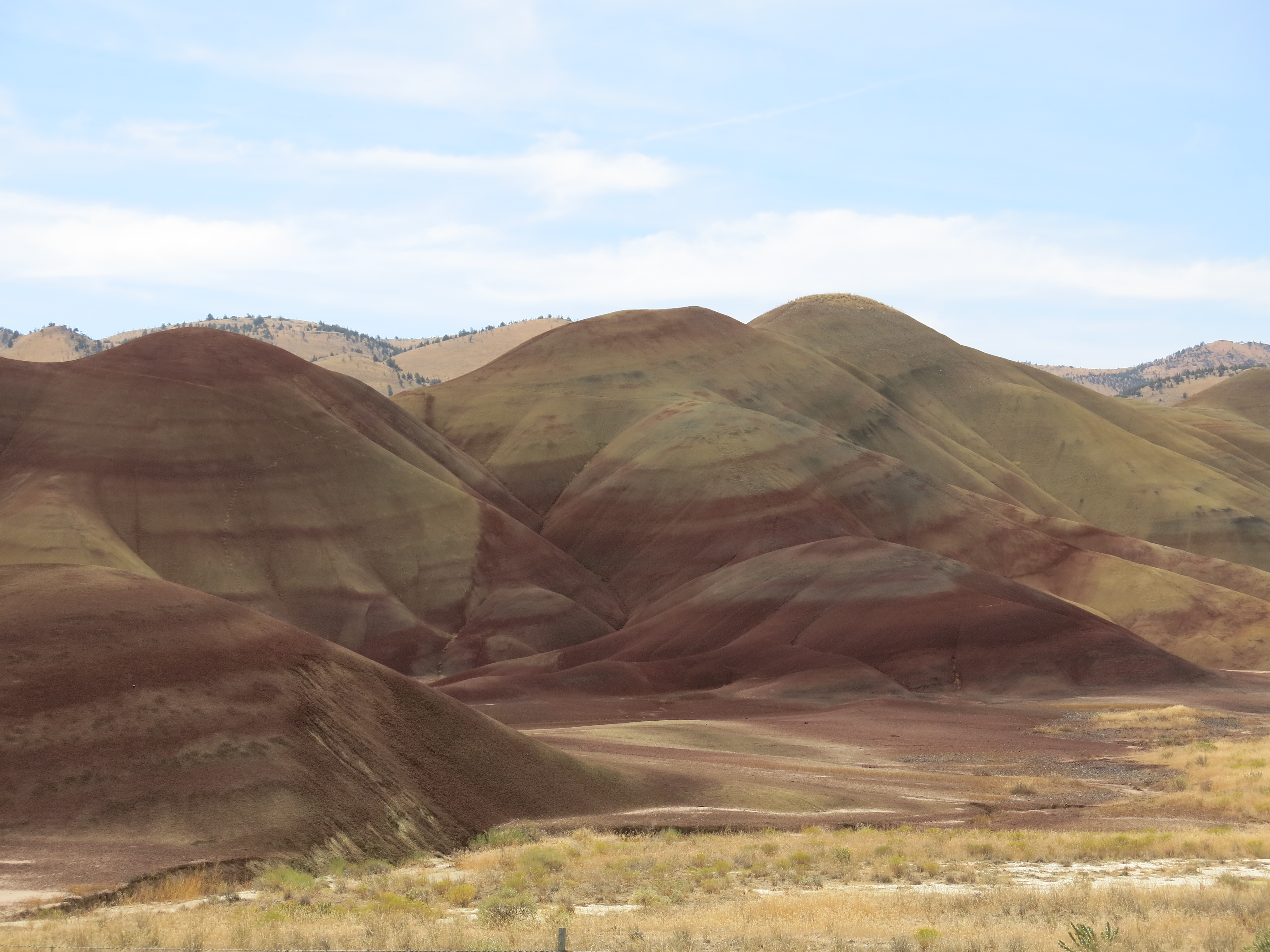
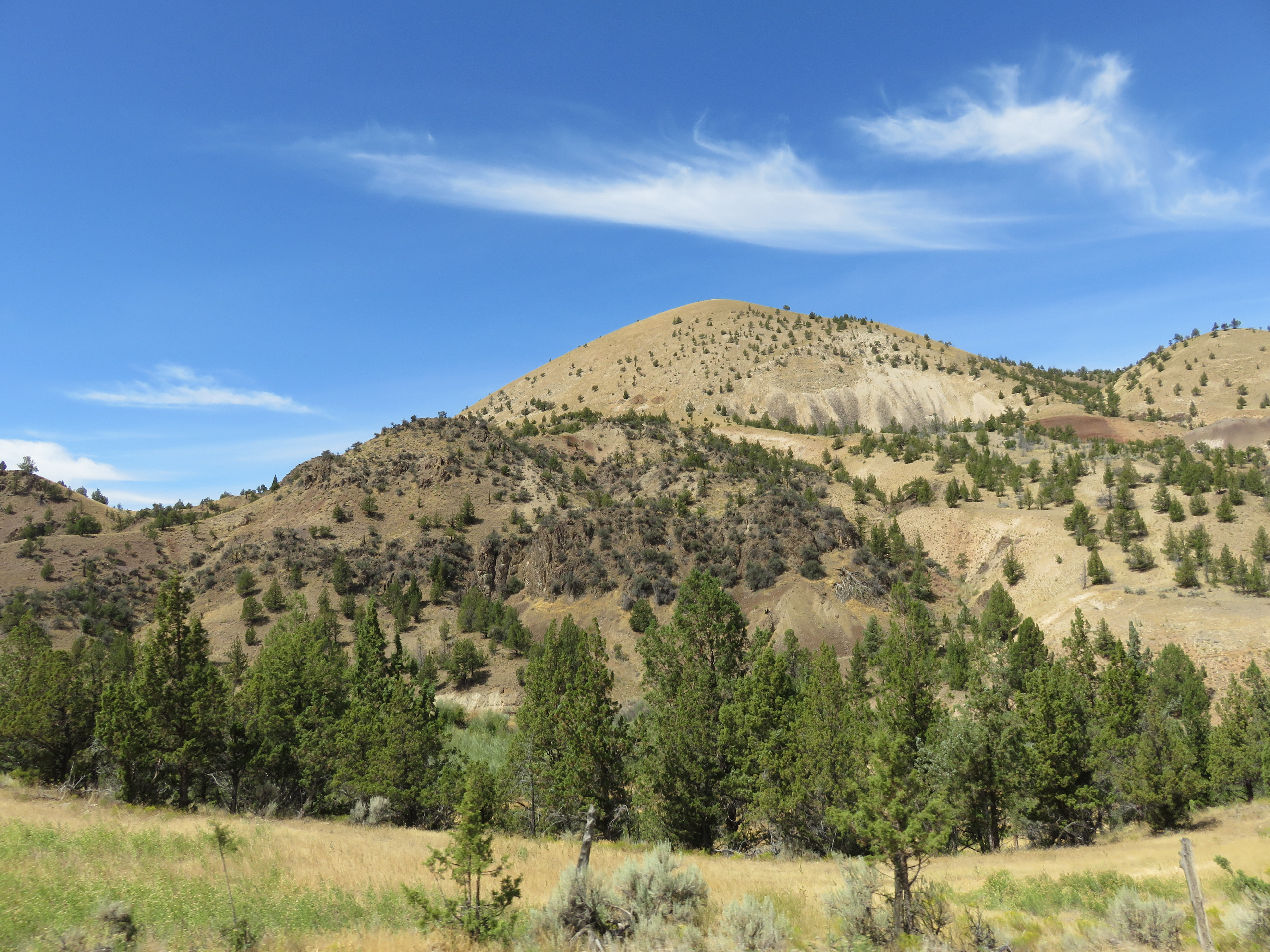
Strawberry Mtns Panorama, Northeastern Oregon
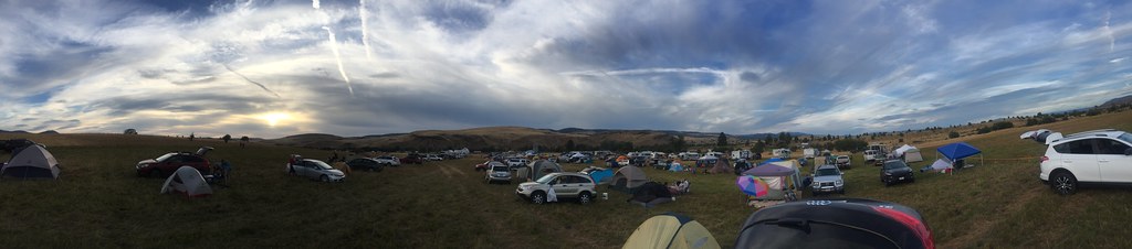
2017 Oregon Eclipse-116

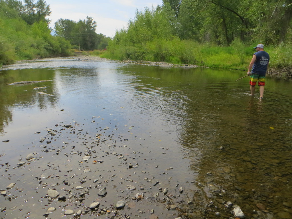
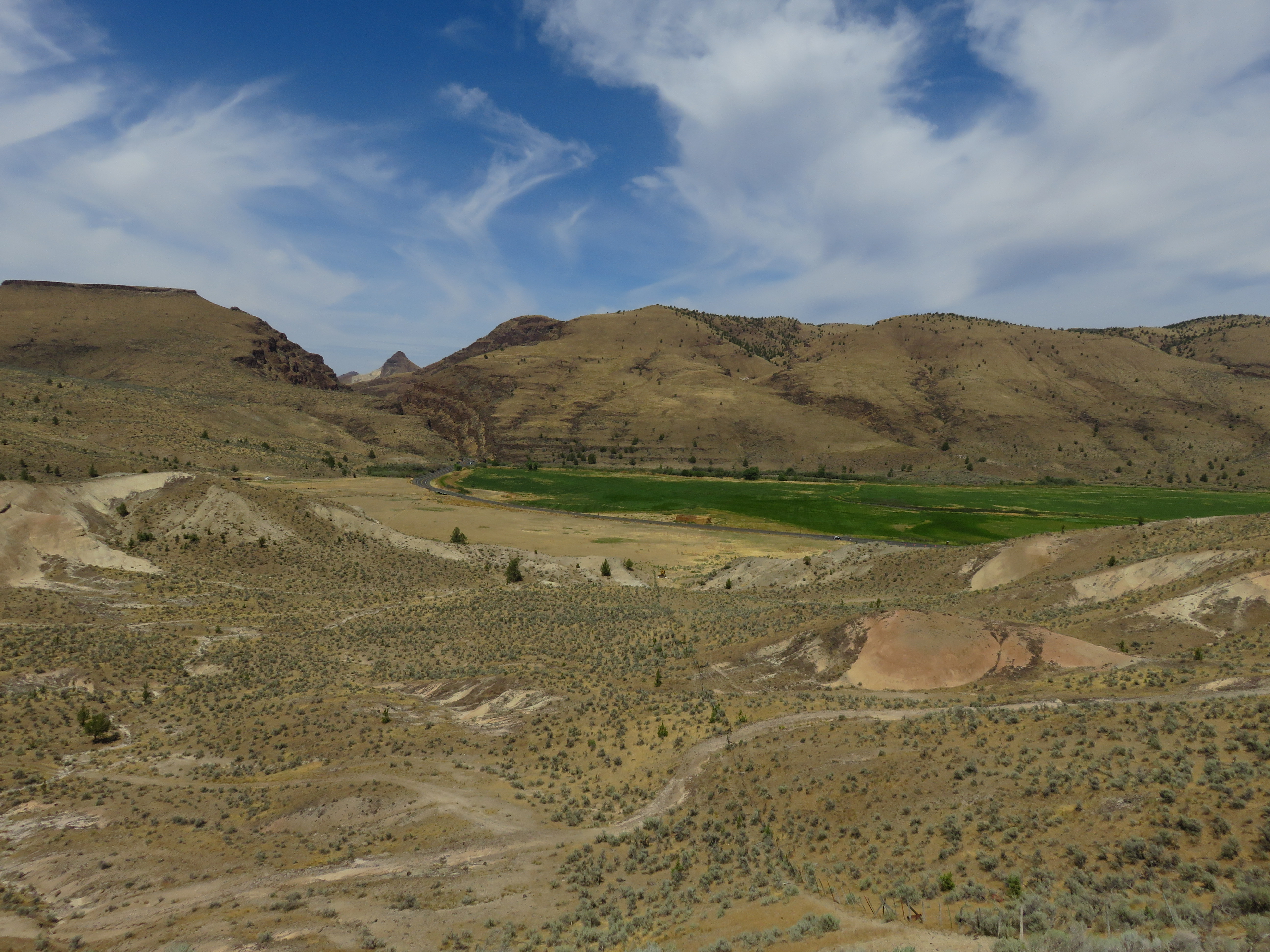
John Day River
2017 Oregon Eclipse-107
Eclipse - 2017-08-20_19-16-36
2017 Oregon Eclipse-94
john day river fail
2017 Oregon Eclipse-90
2017 Oregon Eclipse-91
Canyon Ridge from aloft.
2017 Oregon Eclipse-26
2017 Oregon Eclipse-49
2017 Oregon Eclipse-18

2015-07-28 11;31;34
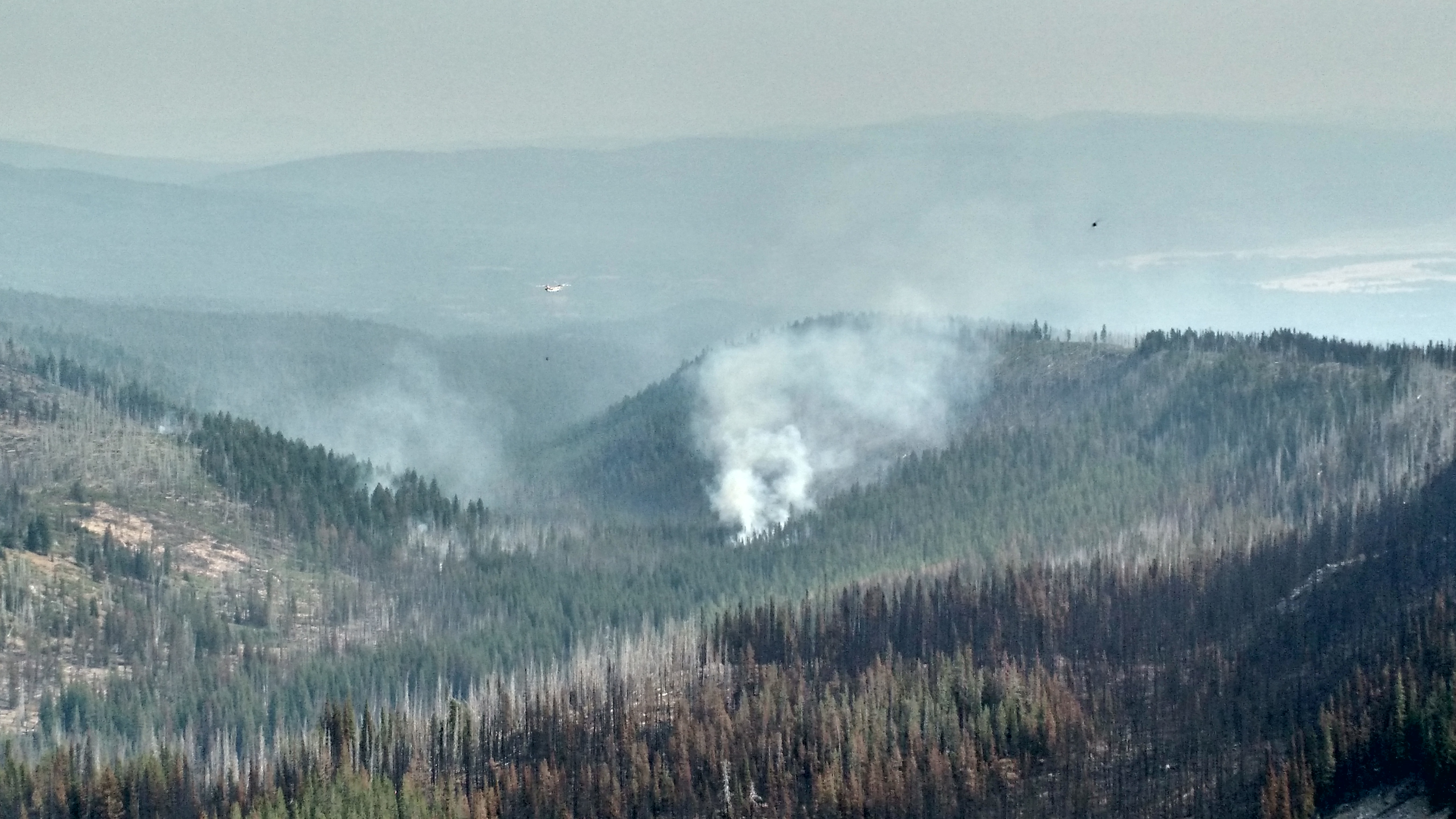
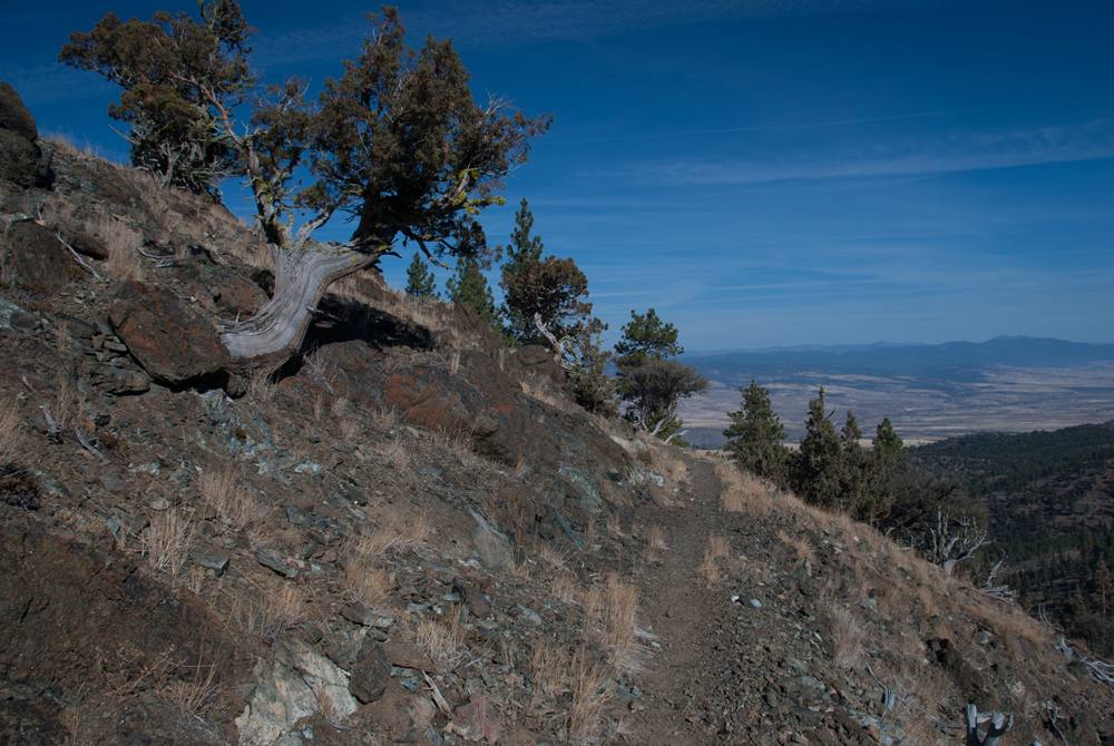
Canyon Creek Complex
2017 Oregon Eclipse-22
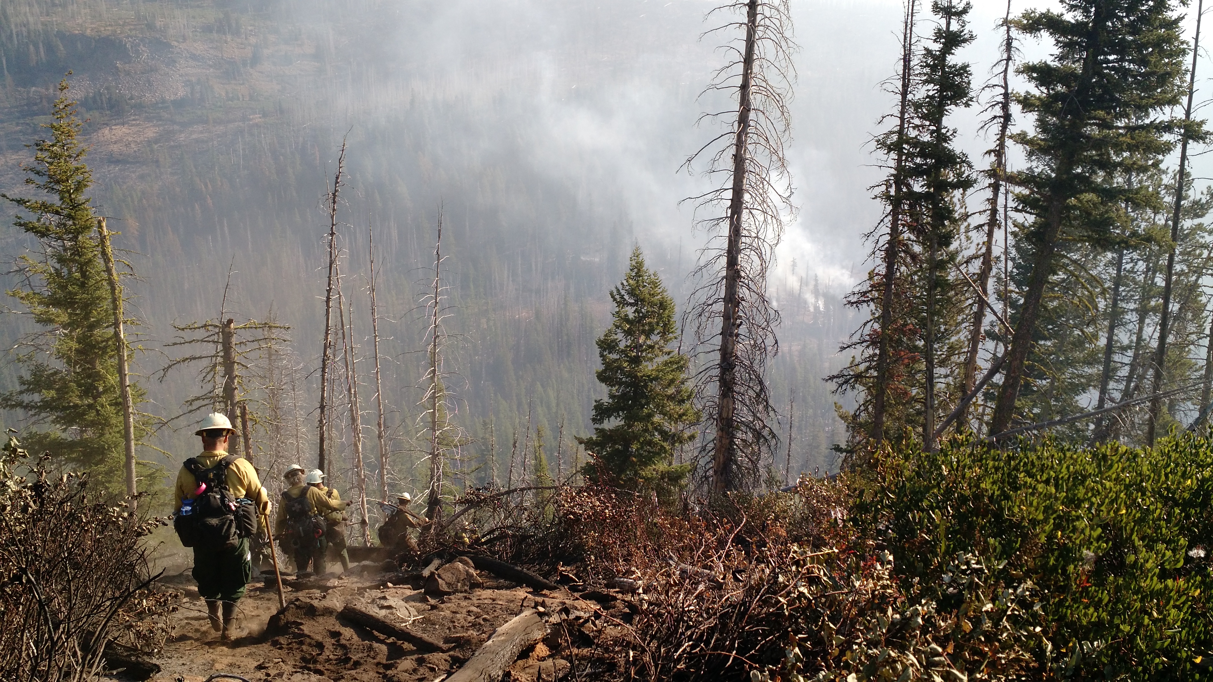
Canyon Creek Complex
Topographic Map of N Canyon Blvd, John Day, OR, USA
Find elevation by address:

Places near N Canyon Blvd, John Day, OR, USA:
John Day
Canyon City
John Day, OR, USA
Grant County
Harper Creek Road
Front St, Prairie City, OR, USA
Long Creek
Murderers Creek
Bates
County Road 20a
Dale
Monument
Granite
Sumpter
Bourne
Anthony Lakes
Recent Searches:
- Elevation of Ilungu, Tanzania
- Elevation of Yellow Springs Road, Yellow Springs Rd, Chester Springs, PA, USA
- Elevation of Rēzekne Municipality, Latvia
- Elevation of Plikpūrmaļi, Vērēmi Parish, Rēzekne Municipality, LV-, Latvia
- Elevation of 2 Henschke Ct, Caboolture QLD, Australia
- Elevation of Redondo Ave, Long Beach, CA, USA
- Elevation of Sadovaya Ulitsa, 20, Rezh, Sverdlovskaya oblast', Russia
- Elevation of Ulitsa Kalinina, 79, Rezh, Sverdlovskaya oblast', Russia
- Elevation of 72-31 Metropolitan Ave, Middle Village, NY, USA
- Elevation of 76 Metropolitan Ave, Brooklyn, NY, USA