Elevation of Sumpter, OR, USA
Location: United States > Oregon > Baker County >
Longitude: -118.20216
Latitude: 44.7457069
Elevation: 1348m / 4423feet
Barometric Pressure: 86KPa
Elevation Map:
Satellite Map:
Related Photos:
Baker County Tourism – basecampbaker.com 11113

Baker County Tourism – basecampbaker.com 11859

Baker County Tourism – basecampbaker.com 11864

Hawley Spur

Waiting in the Station

Blowing Smoke

Baker County Tourism – basecampbaker.com 11873
Cycle Oregon 2006 Day 3

Smoke'n
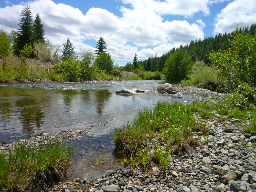
McCully Creek

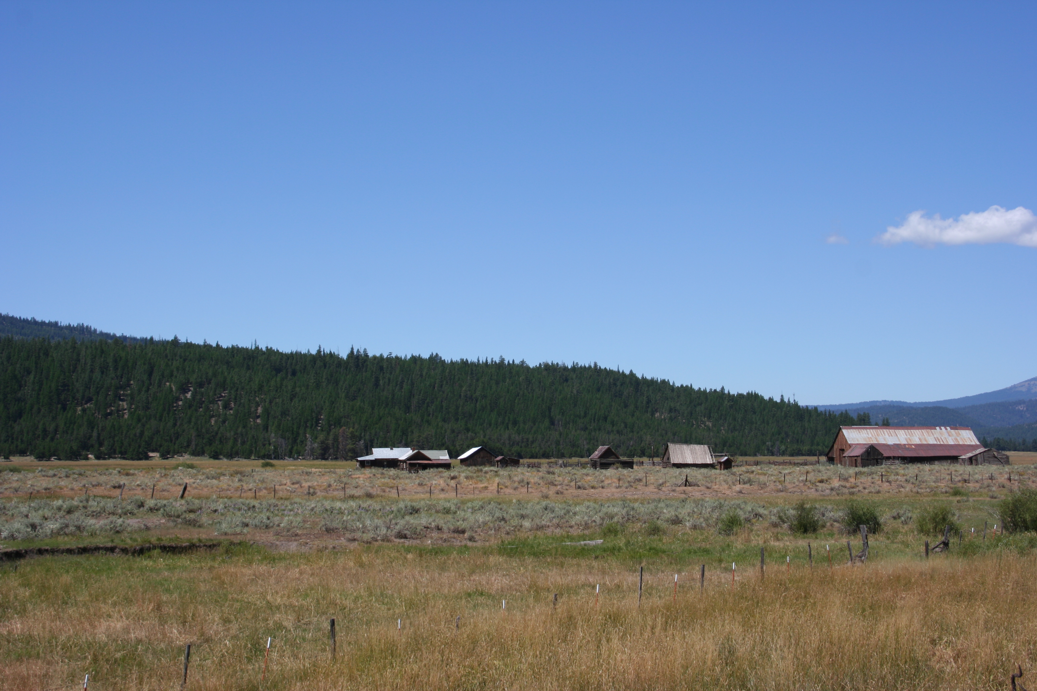
Whitney Barn

Took the long way home

Reflecting on a Locomotive

Nearing baker city

Eastern Oregon Trip
Cycle Oregon 2006 Day 4

Baker County Tourism – basecampbaker.com 3474
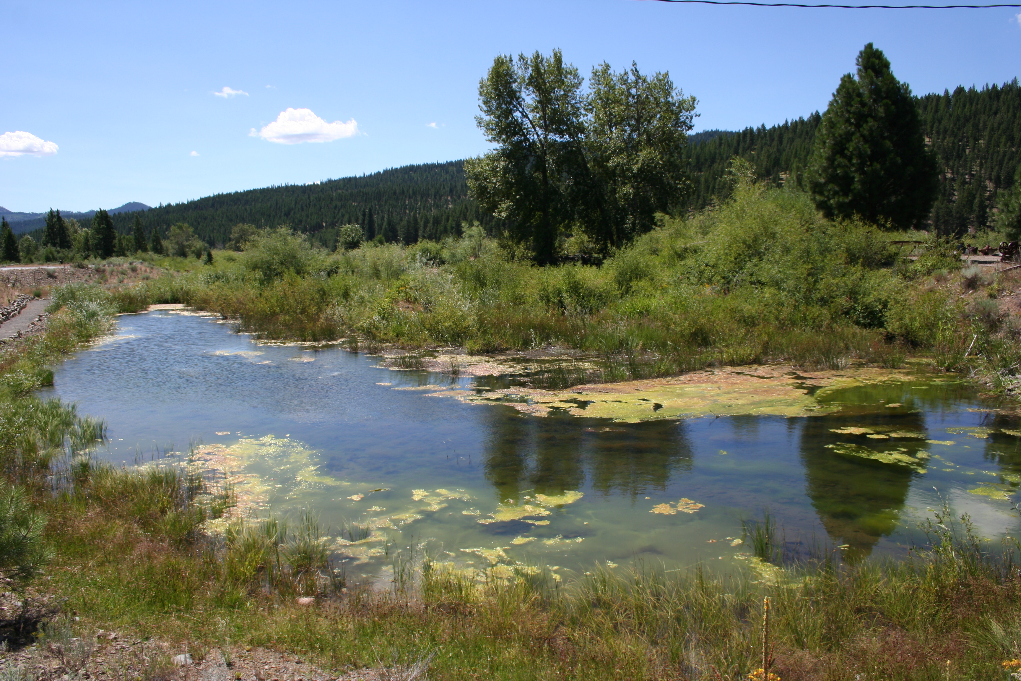
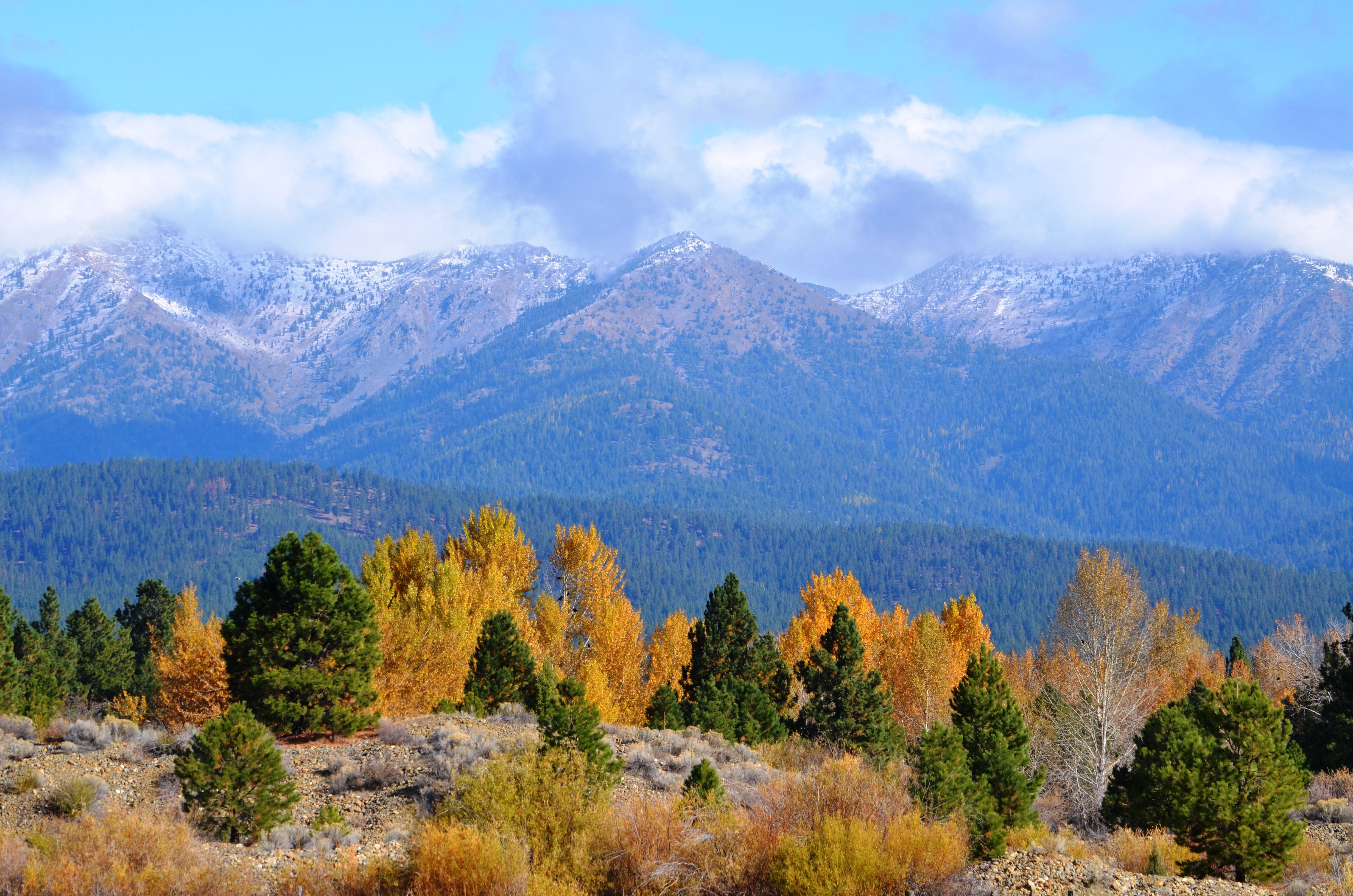
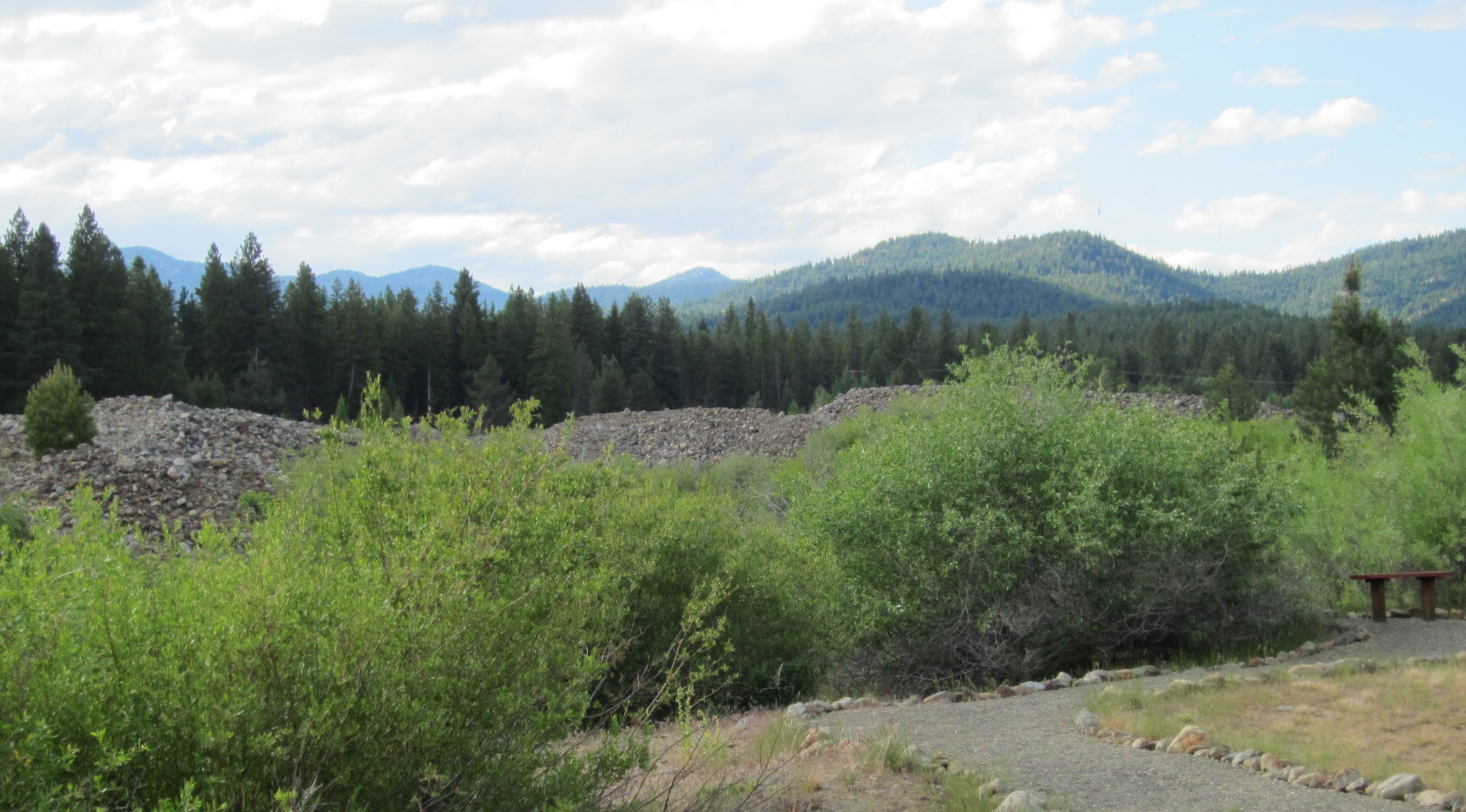
Sumpter Valley Dredge State Heritage Area
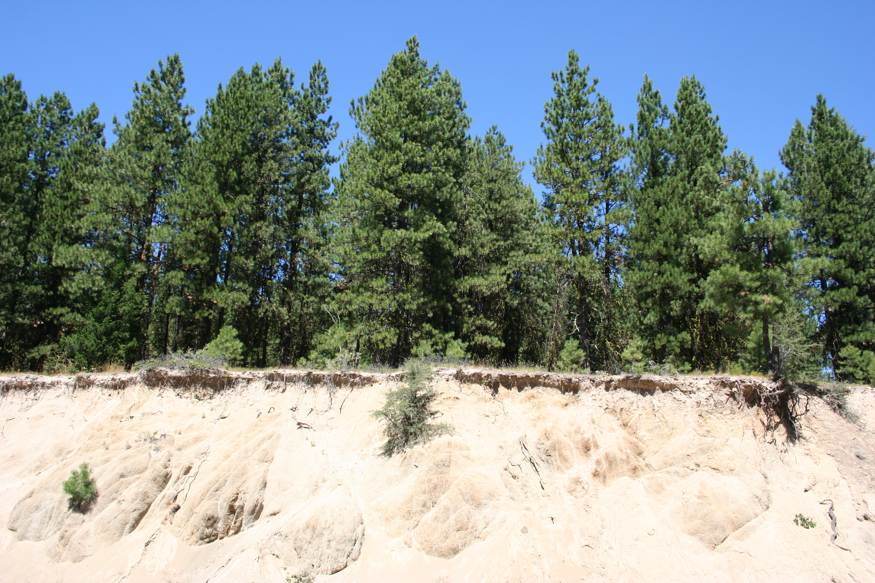
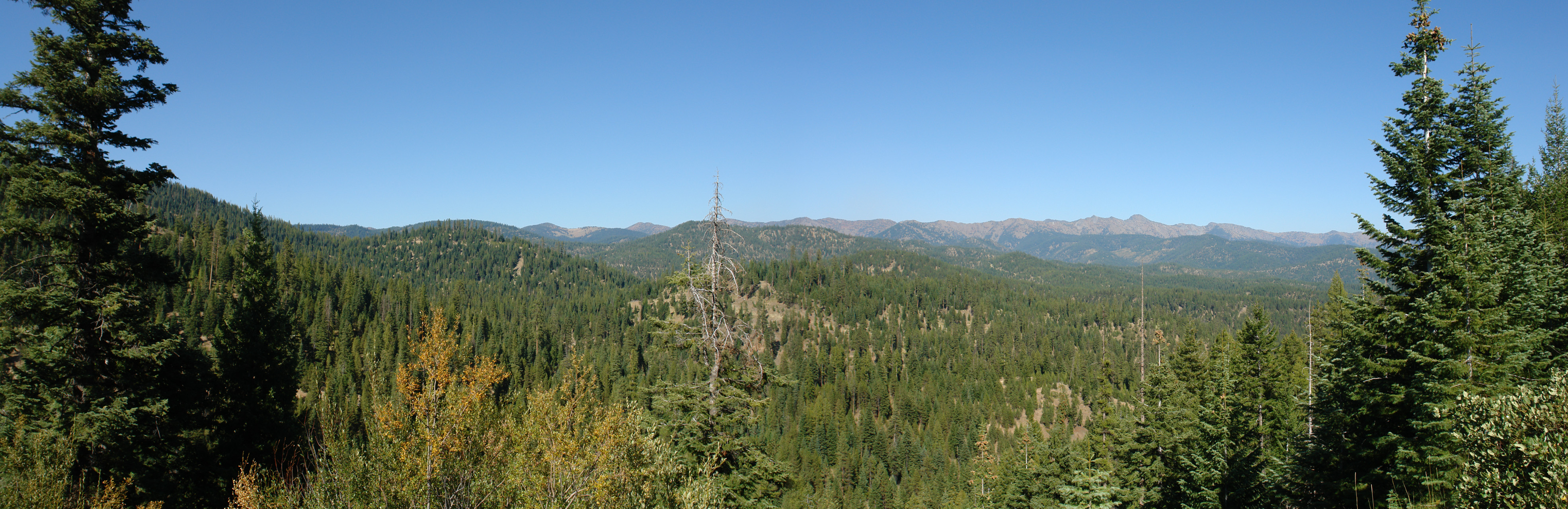
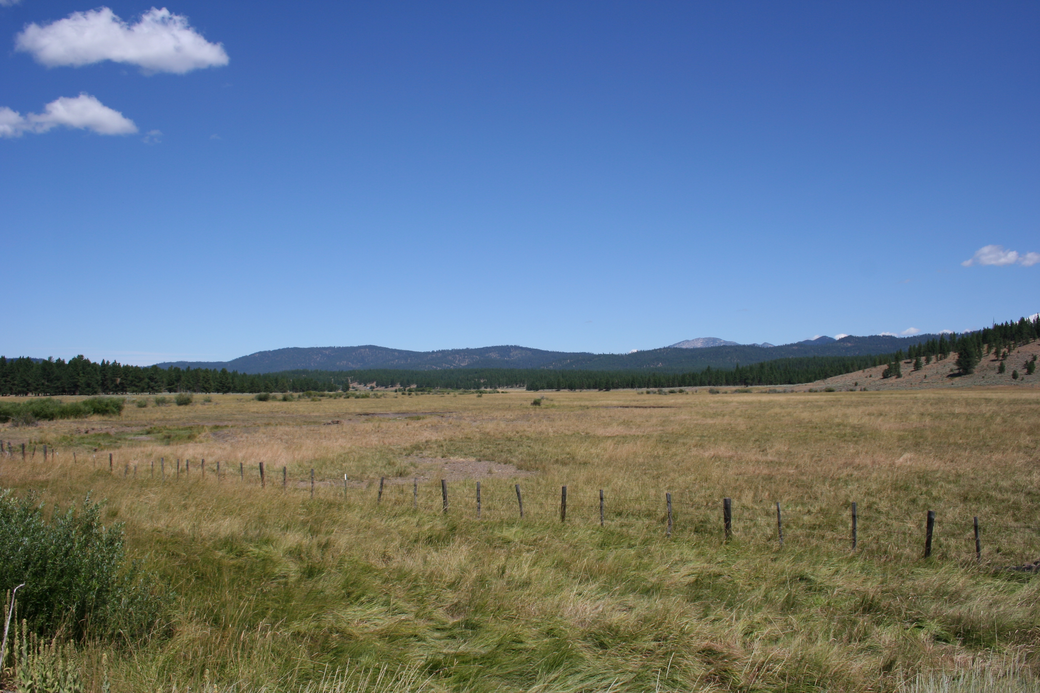
Whitman National Forest
Sumpter, OR 0955a
Along Whitney Tipton Highway 7
Along Whitney Tipton Highway 7
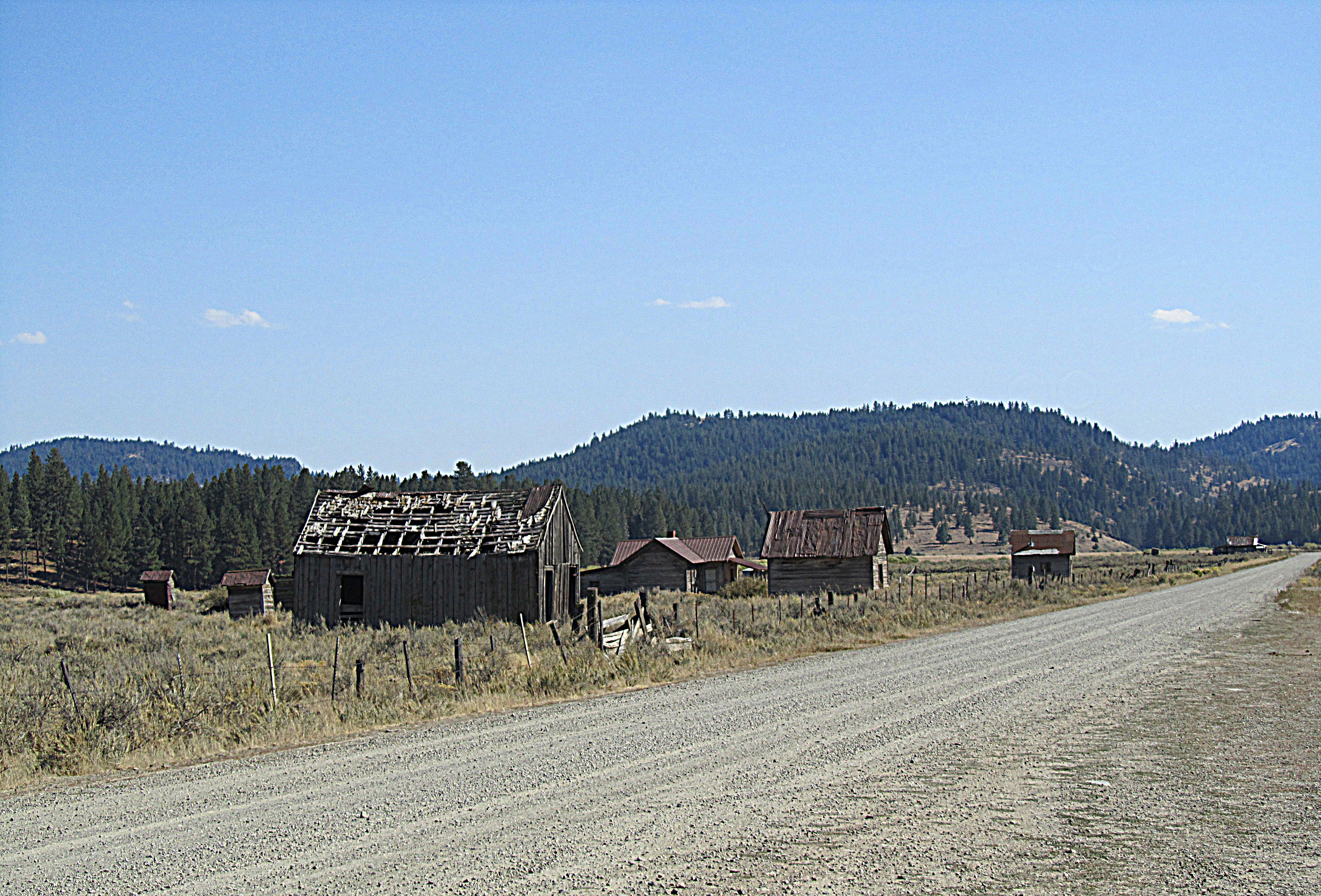
Whitney, Oregon
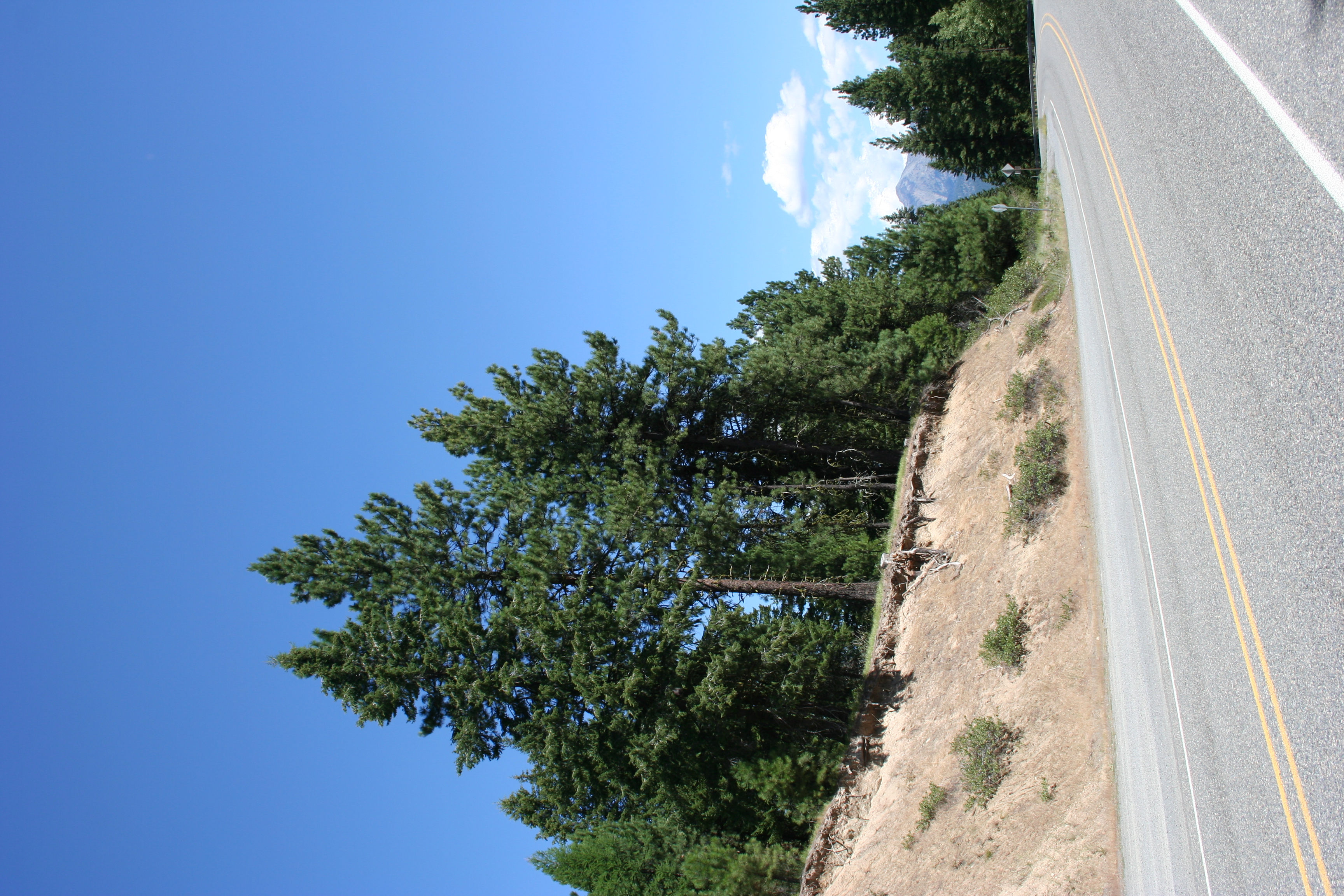
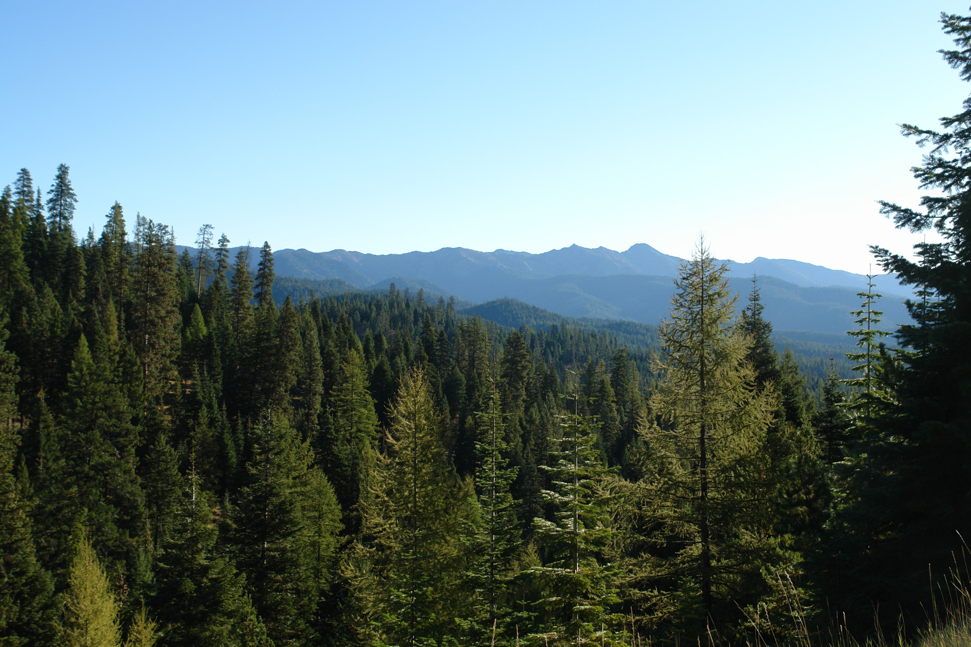
Larch Summit
Topographic Map of Sumpter, OR, USA
Find elevation by address:

Places near Sumpter, OR, USA:
Bourne
Anthony Lakes
Granite
County Road 20a
Bates
Front St, Prairie City, OR, USA
Grant County
Dale
John Day, OR, USA
144 N Canyon Blvd
John Day
Canyon City
Long Creek
Harper Creek Road
Monument
Murderers Creek
Recent Searches:
- Elevation of 3 Nestling Wood Dr, Long Valley, NJ, USA
- Elevation of Ilungu, Tanzania
- Elevation of Yellow Springs Road, Yellow Springs Rd, Chester Springs, PA, USA
- Elevation of Rēzekne Municipality, Latvia
- Elevation of Plikpūrmaļi, Vērēmi Parish, Rēzekne Municipality, LV-, Latvia
- Elevation of 2 Henschke Ct, Caboolture QLD, Australia
- Elevation of Redondo Ave, Long Beach, CA, USA
- Elevation of Sadovaya Ulitsa, 20, Rezh, Sverdlovskaya oblast', Russia
- Elevation of Ulitsa Kalinina, 79, Rezh, Sverdlovskaya oblast', Russia
- Elevation of 72-31 Metropolitan Ave, Middle Village, NY, USA