Elevation of County Road 20A, Co Rd 20A, Bates, OR, USA
Location: United States > Oregon > Grant County > Bates >
Longitude: -118.49690
Latitude: 44.603028
Elevation: 1254m / 4114feet
Barometric Pressure: 87KPa
Elevation Map:
Satellite Map:
Related Photos:
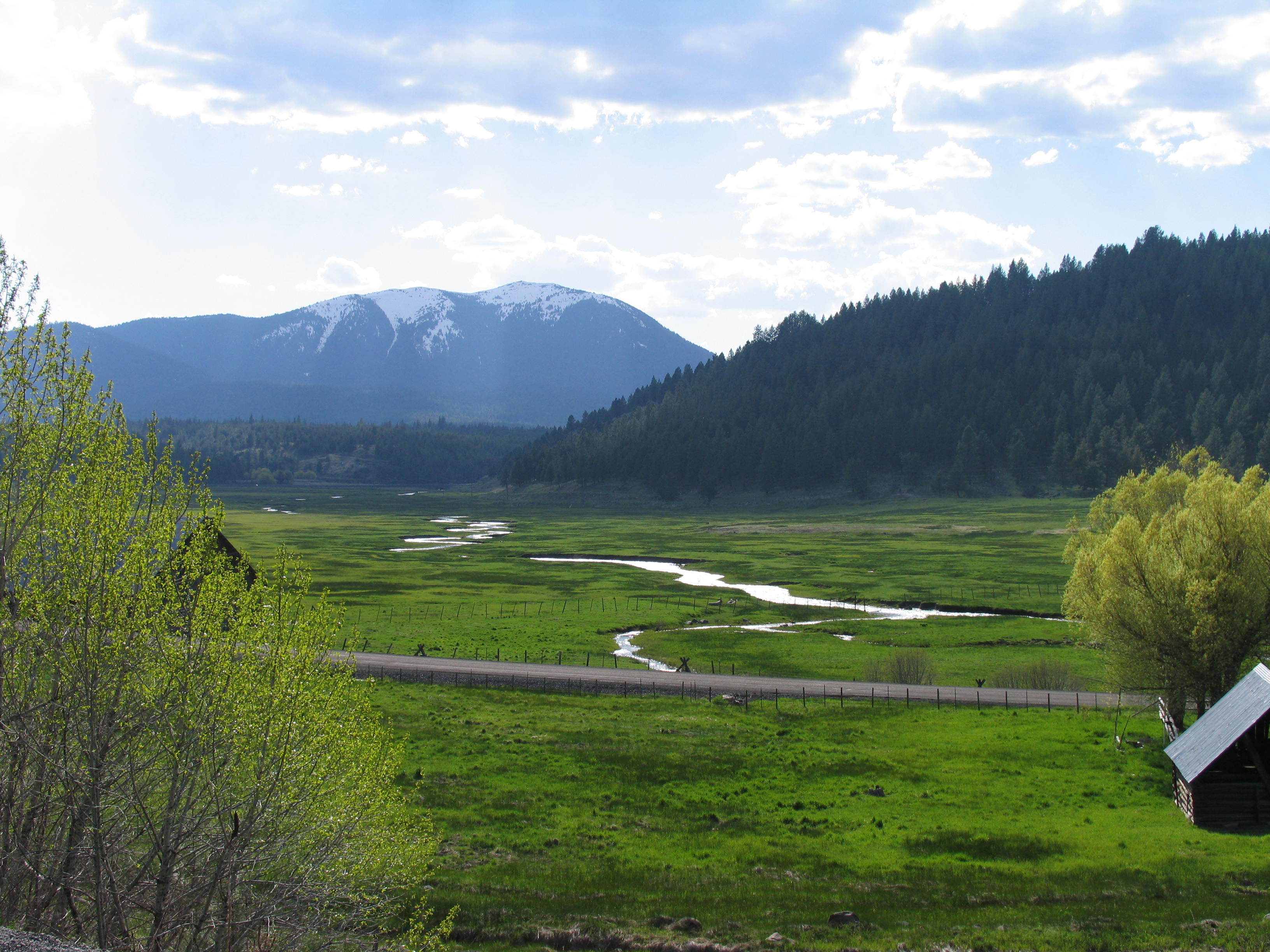
Austin Oregon
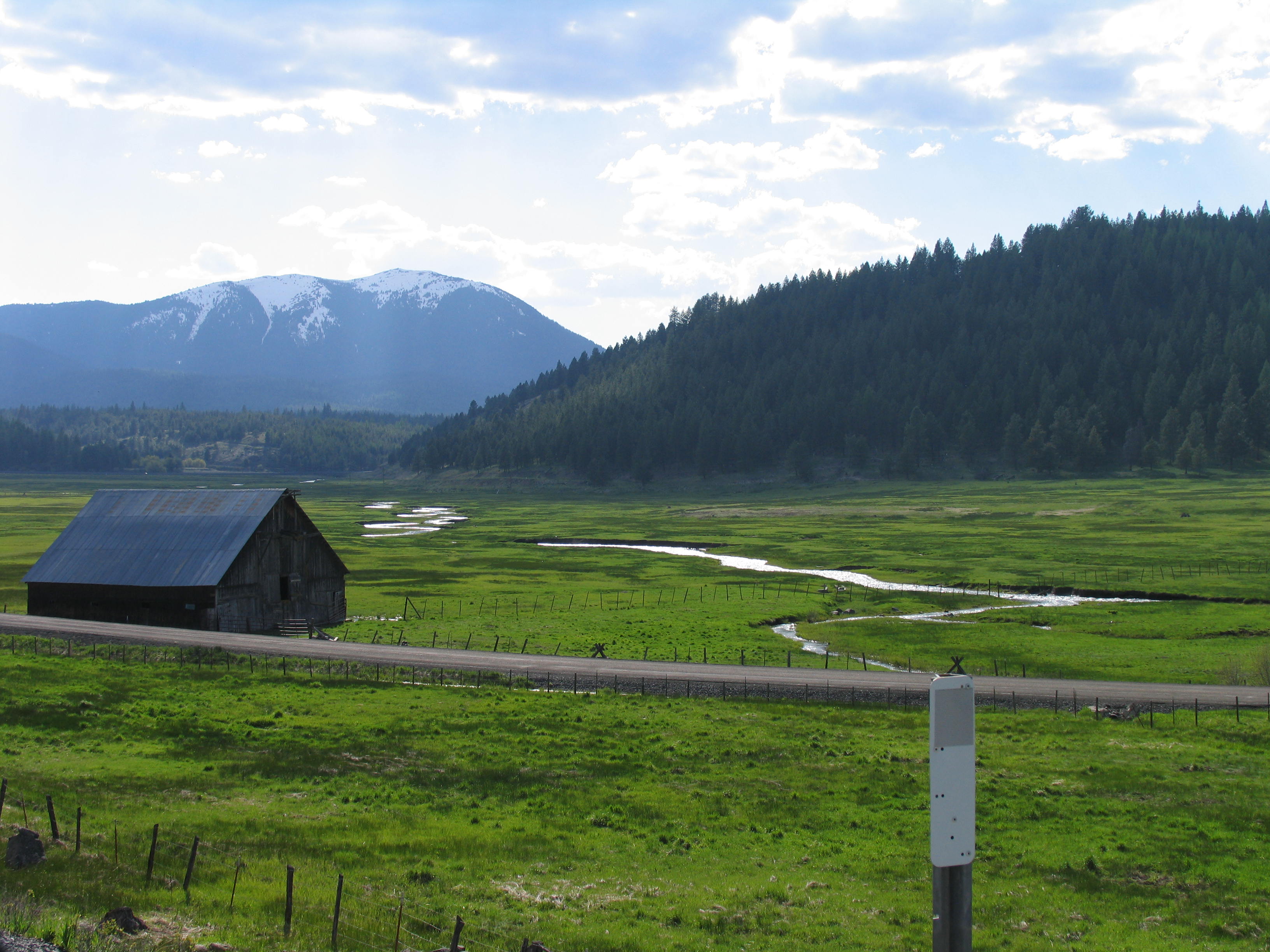
Austin Oregon (1)
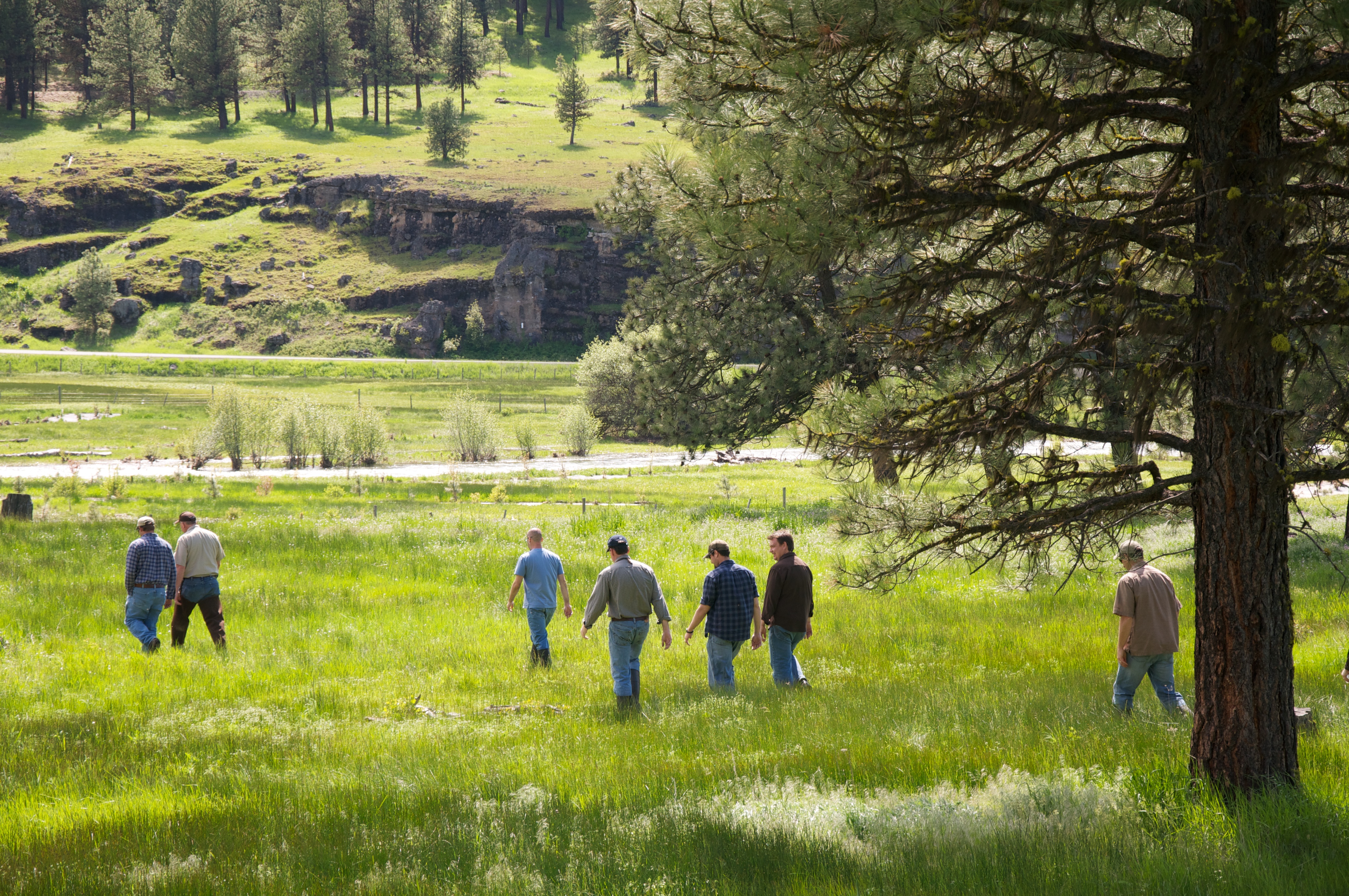
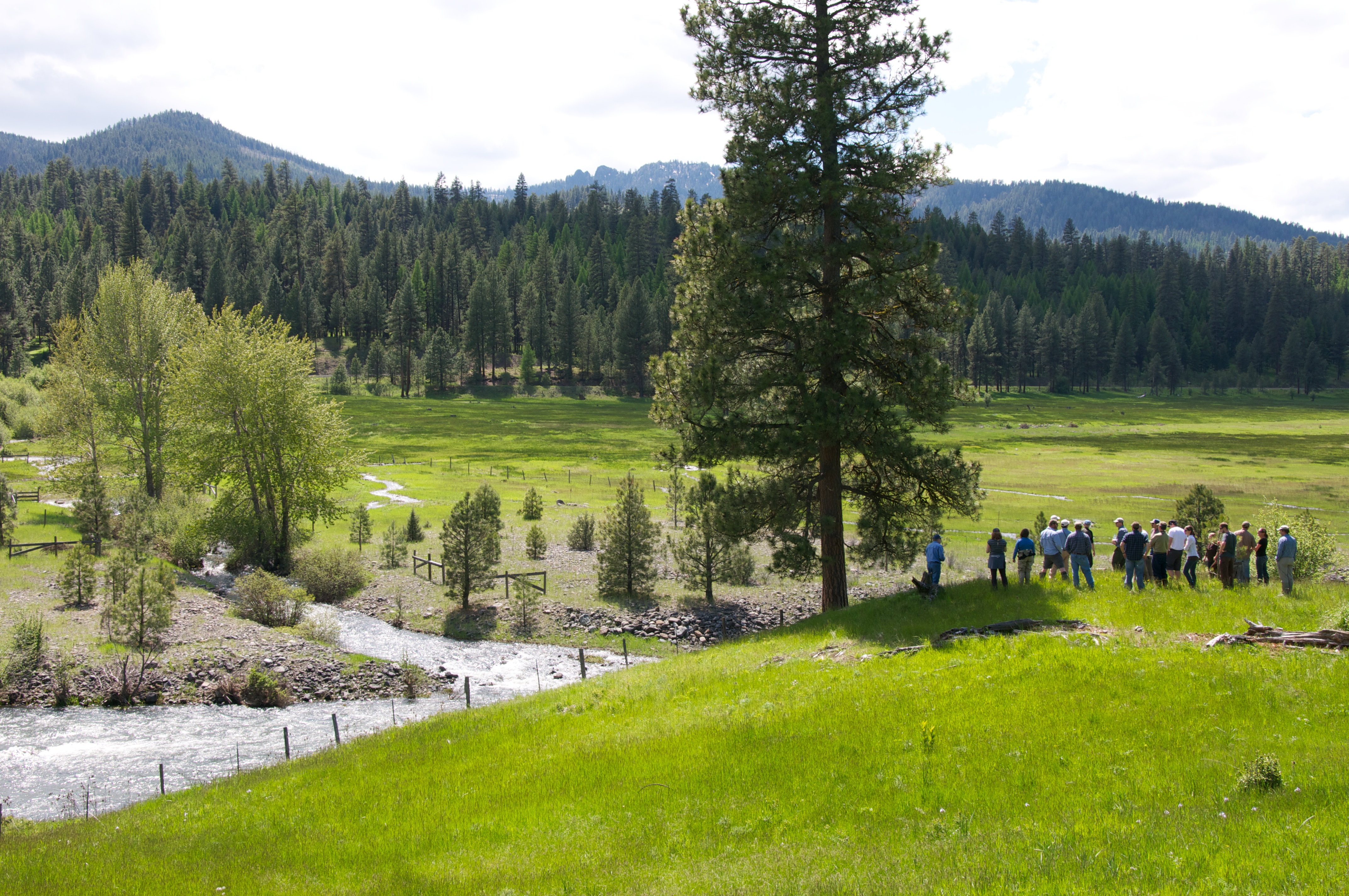
Group walking along John Day River restoration project
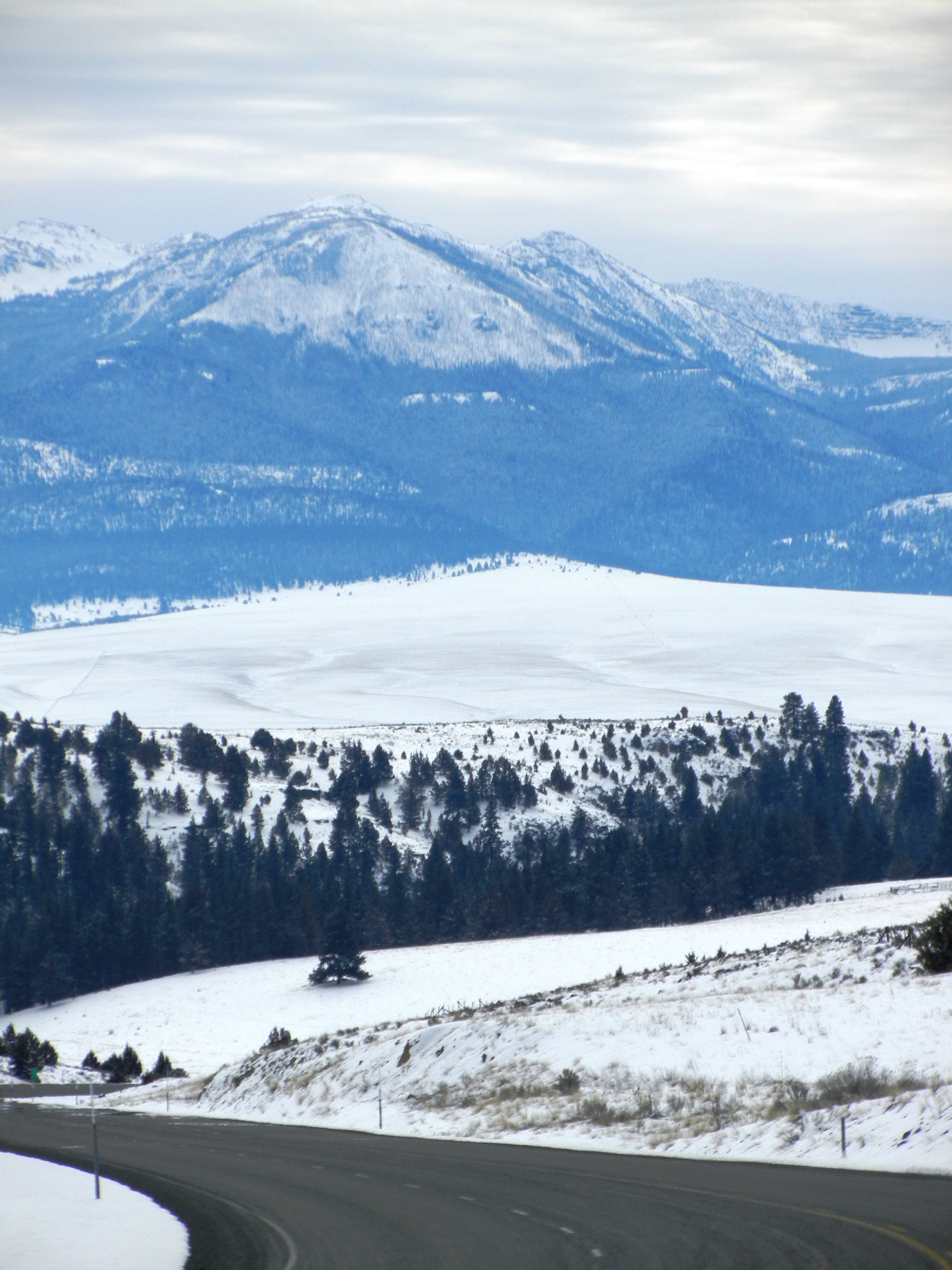
Nearing baker city
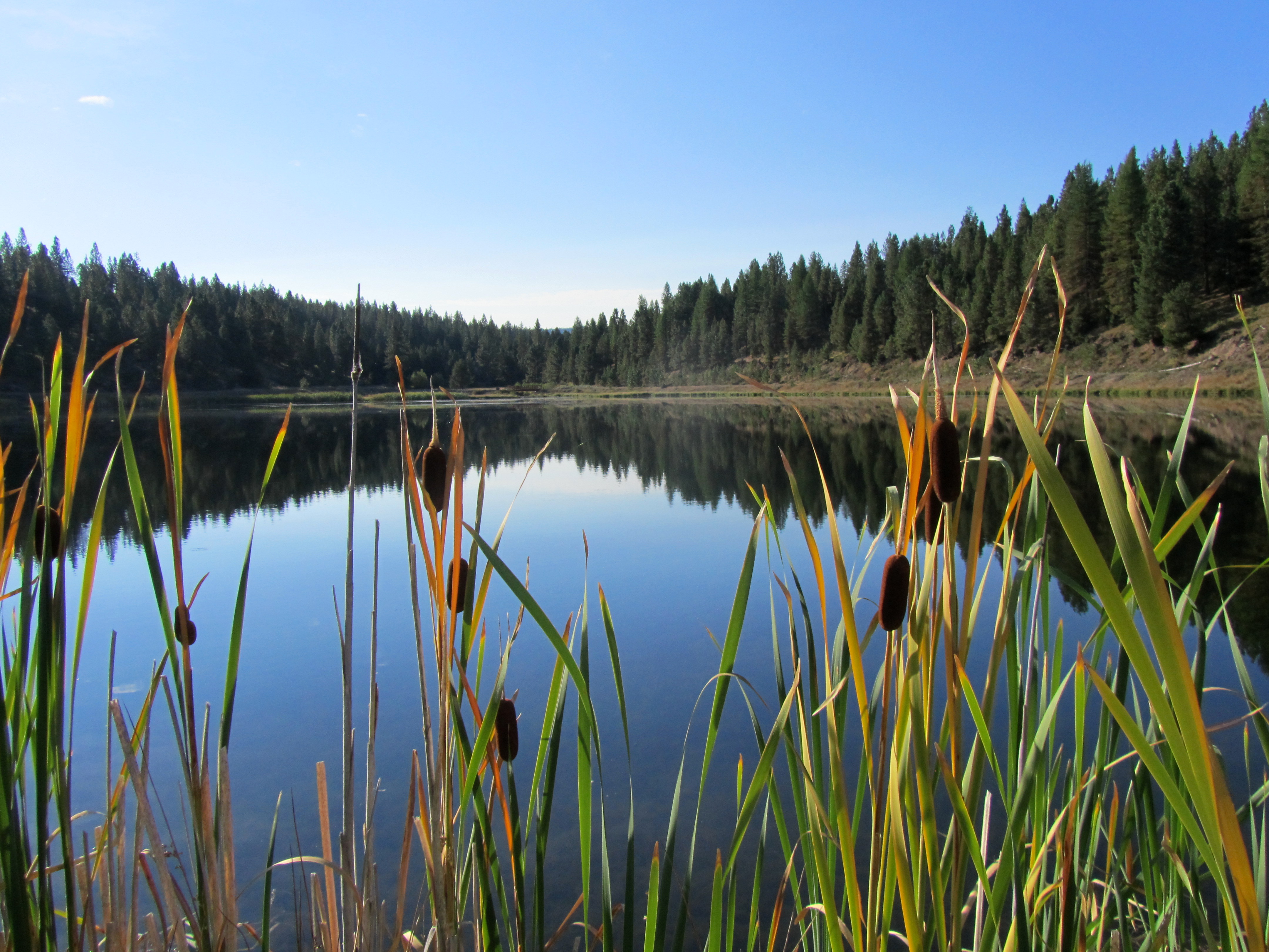
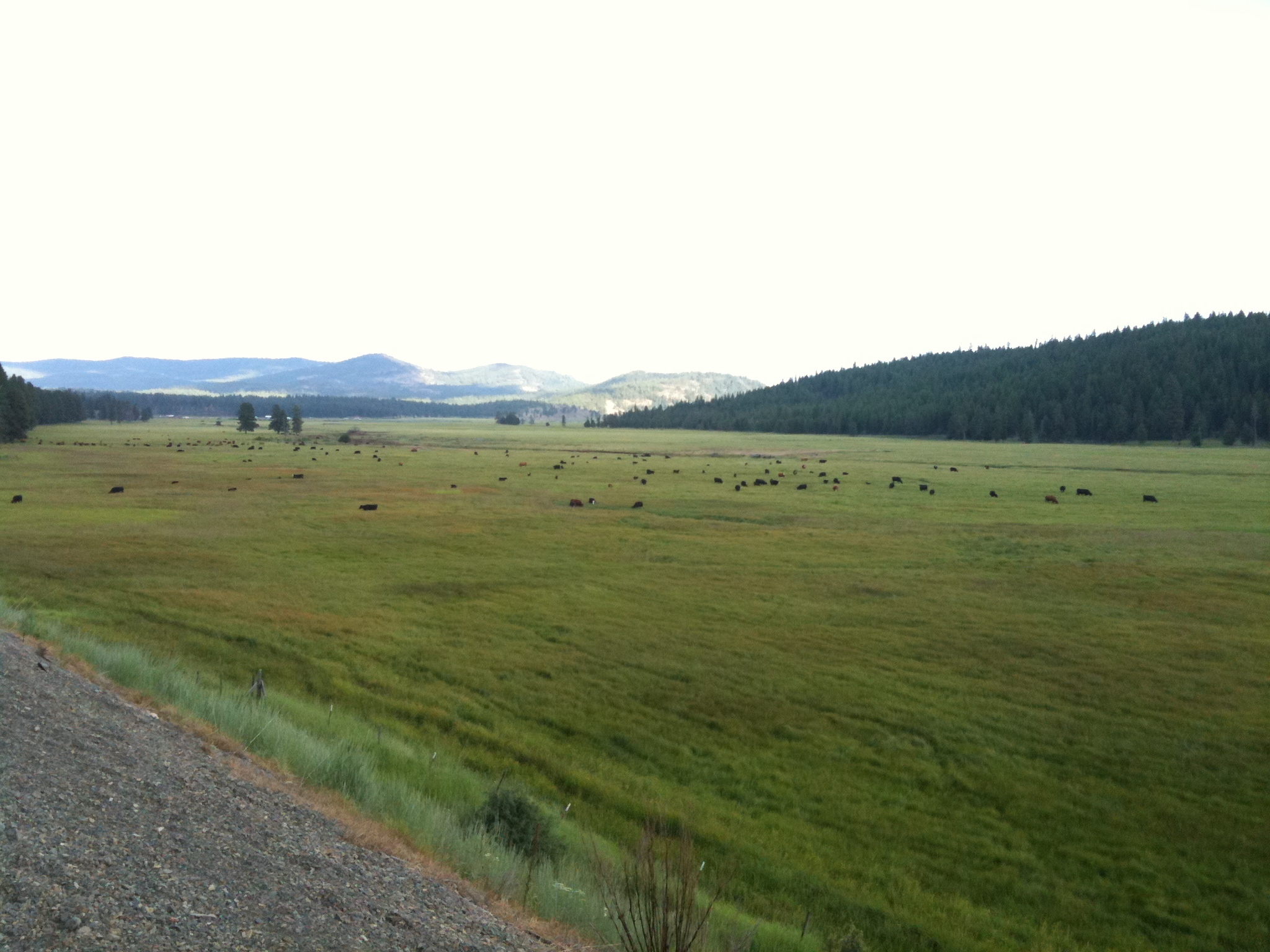
Bates Pond
See the gravel from the dredge mining?
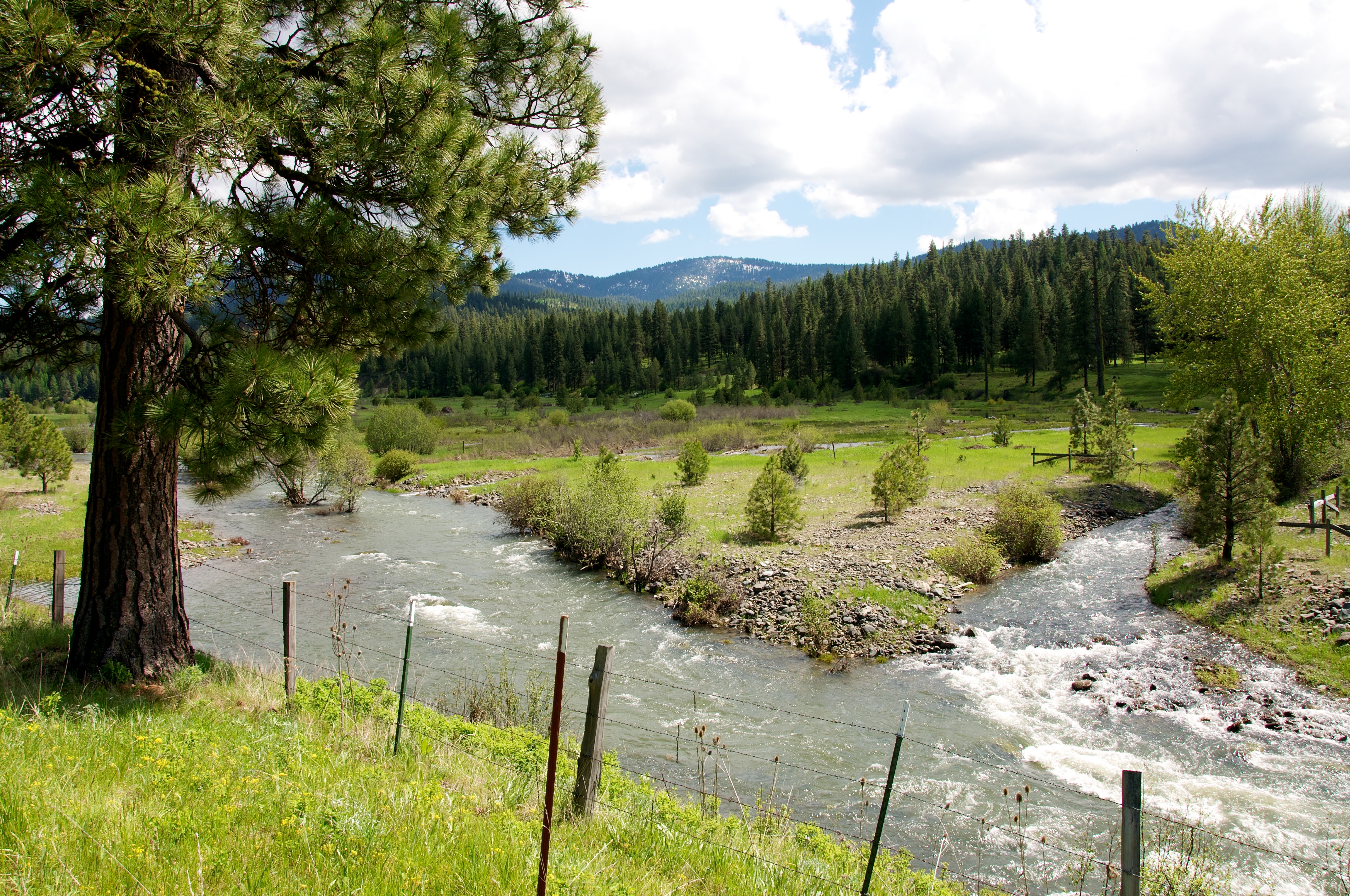
Oxbow project phase 3
Journey Through Time Scenic Byway 15
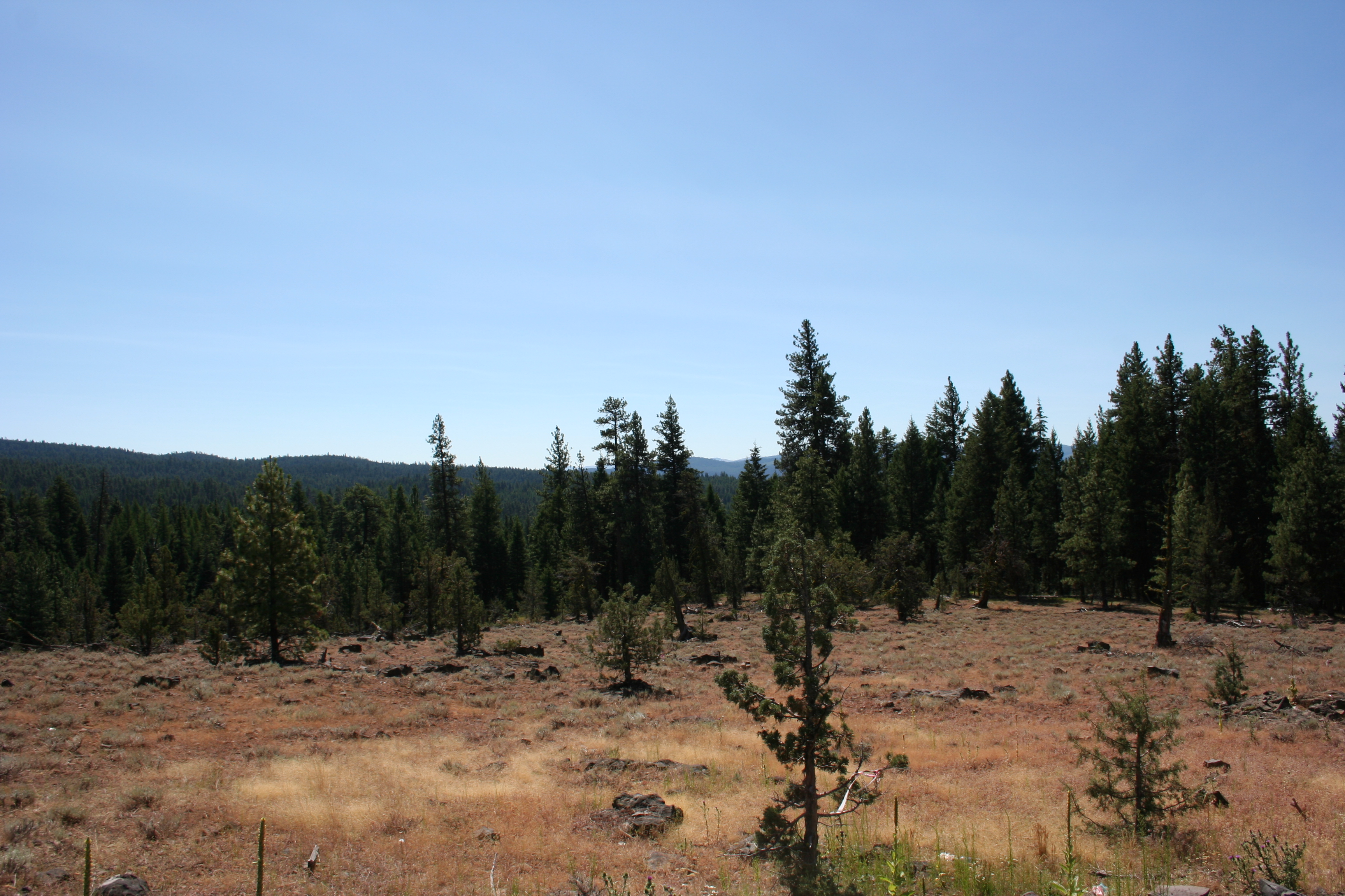
Malheur National Forest
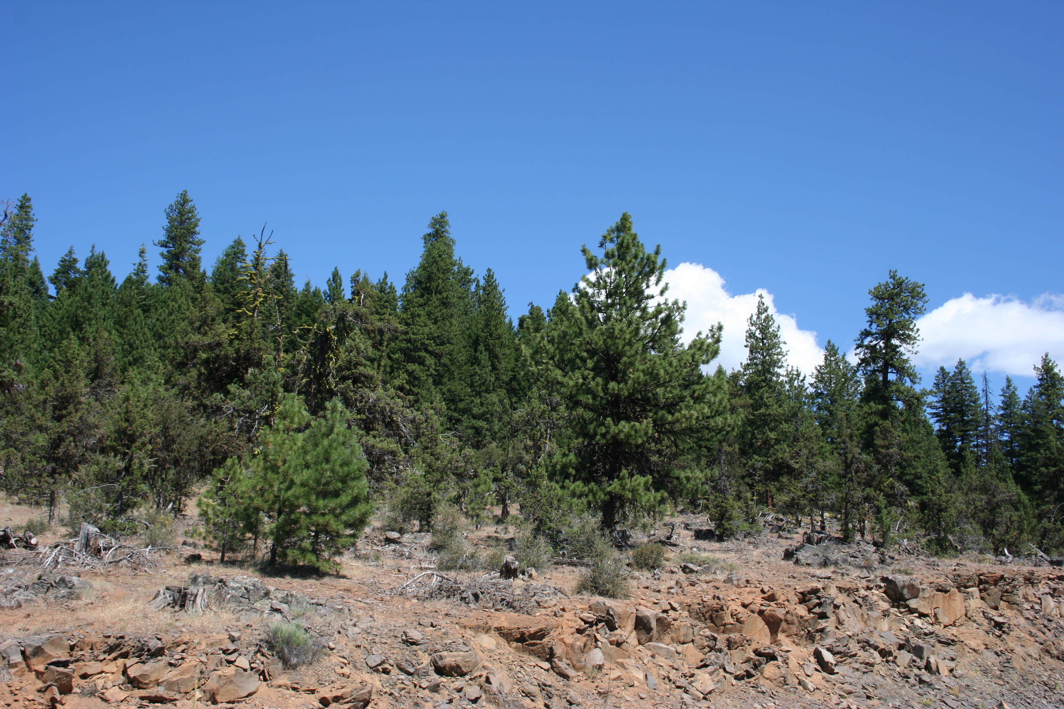
Malheur National Forest
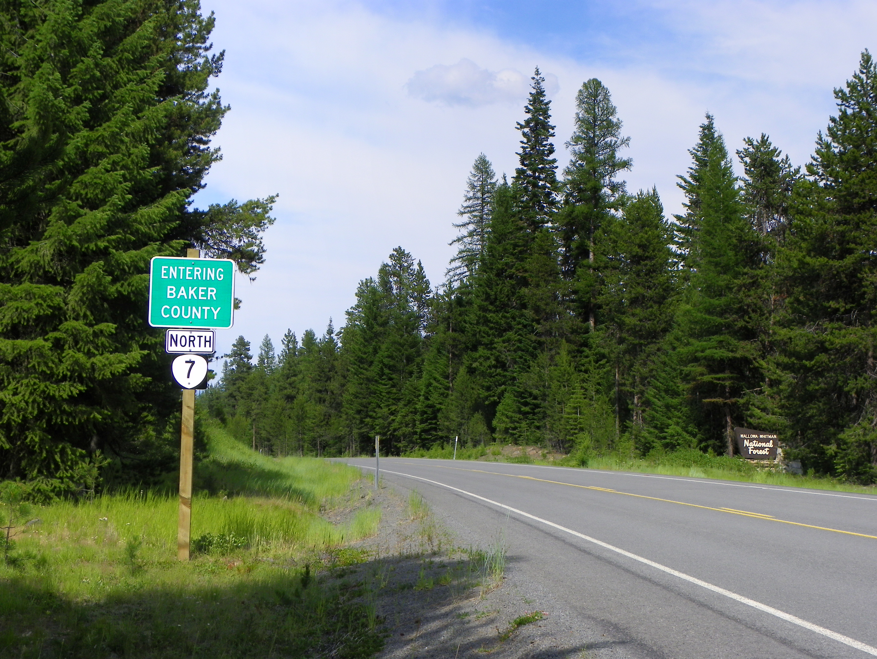
Baker County Line
Topographic Map of County Road 20A, Co Rd 20A, Bates, OR, USA
Find elevation by address:

Places near County Road 20A, Co Rd 20A, Bates, OR, USA:
Bates
Granite
Front St, Prairie City, OR, USA
Sumpter
Bourne
Grant County
Anthony Lakes
John Day, OR, USA
144 N Canyon Blvd
John Day
Canyon City
Dale
Long Creek
Harper Creek Road
Murderers Creek
Monument
Recent Searches:
- Elevation of Redondo Ave, Long Beach, CA, USA
- Elevation of Sadovaya Ulitsa, 20, Rezh, Sverdlovskaya oblast', Russia
- Elevation of Ulitsa Kalinina, 79, Rezh, Sverdlovskaya oblast', Russia
- Elevation of 72-31 Metropolitan Ave, Middle Village, NY, USA
- Elevation of 76 Metropolitan Ave, Brooklyn, NY, USA
- Elevation of Alisal Rd, Solvang, CA, USA
- Elevation of Vista Blvd, Sparks, NV, USA
- Elevation of 15th Ave SE, St. Petersburg, FL, USA
- Elevation of Beall Road, Beall Rd, Florida, USA
- Elevation of Leguwa, Nepal