Elevation of Dayville, OR, USA
Location: United States > Oregon > Grant County >
Longitude: -119.53581
Latitude: 44.4682007
Elevation: 722m / 2369feet
Barometric Pressure: 93KPa
Elevation Map:
Satellite Map:
Related Photos:

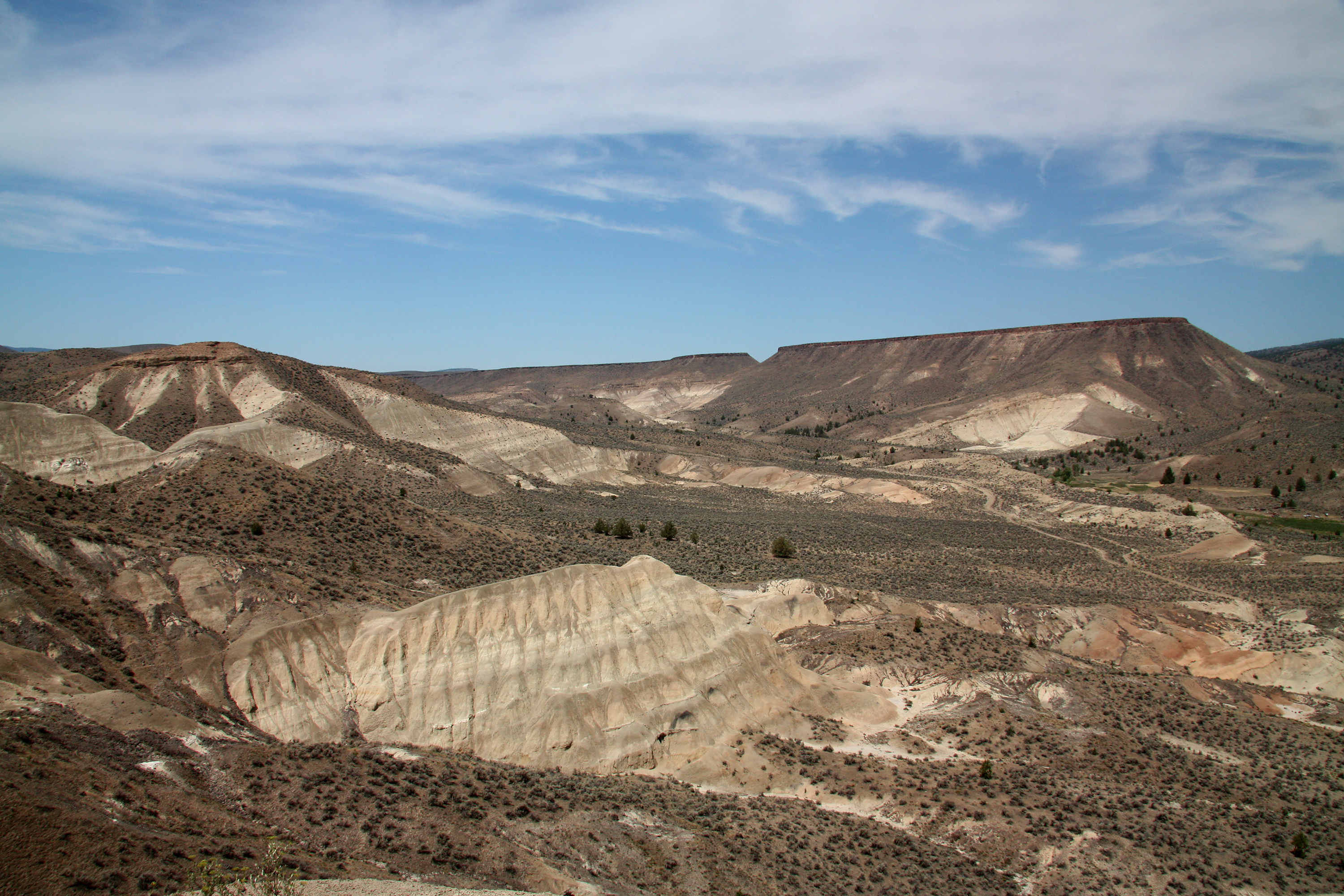
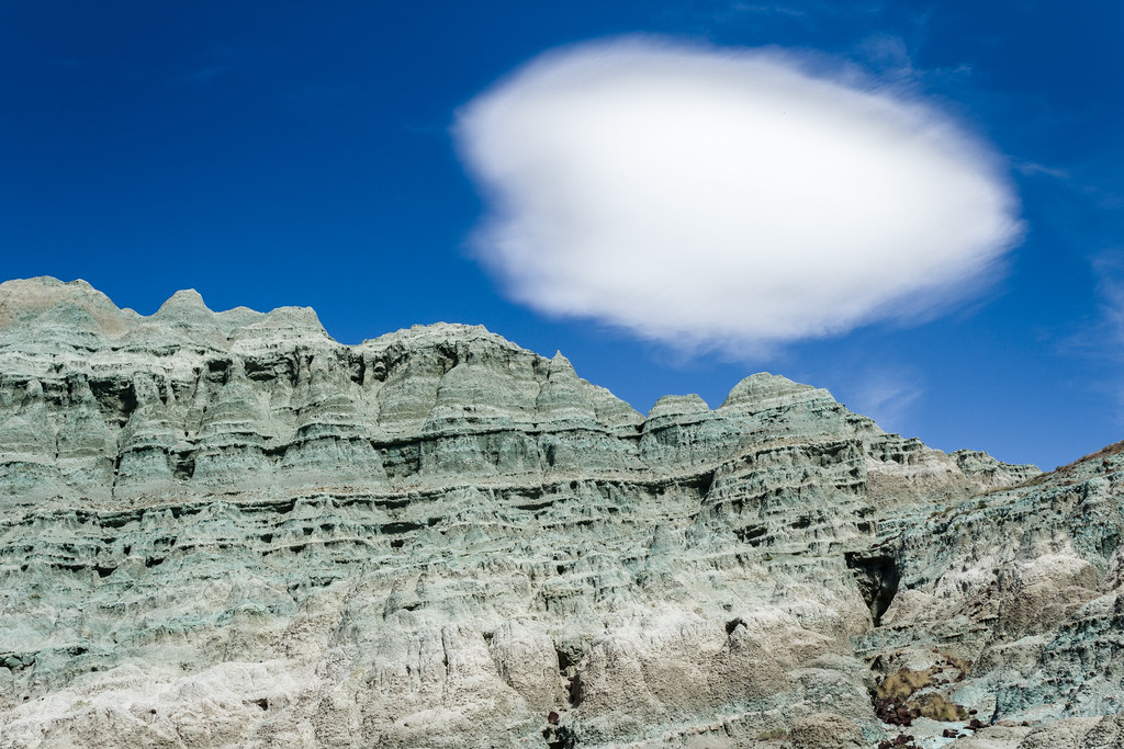
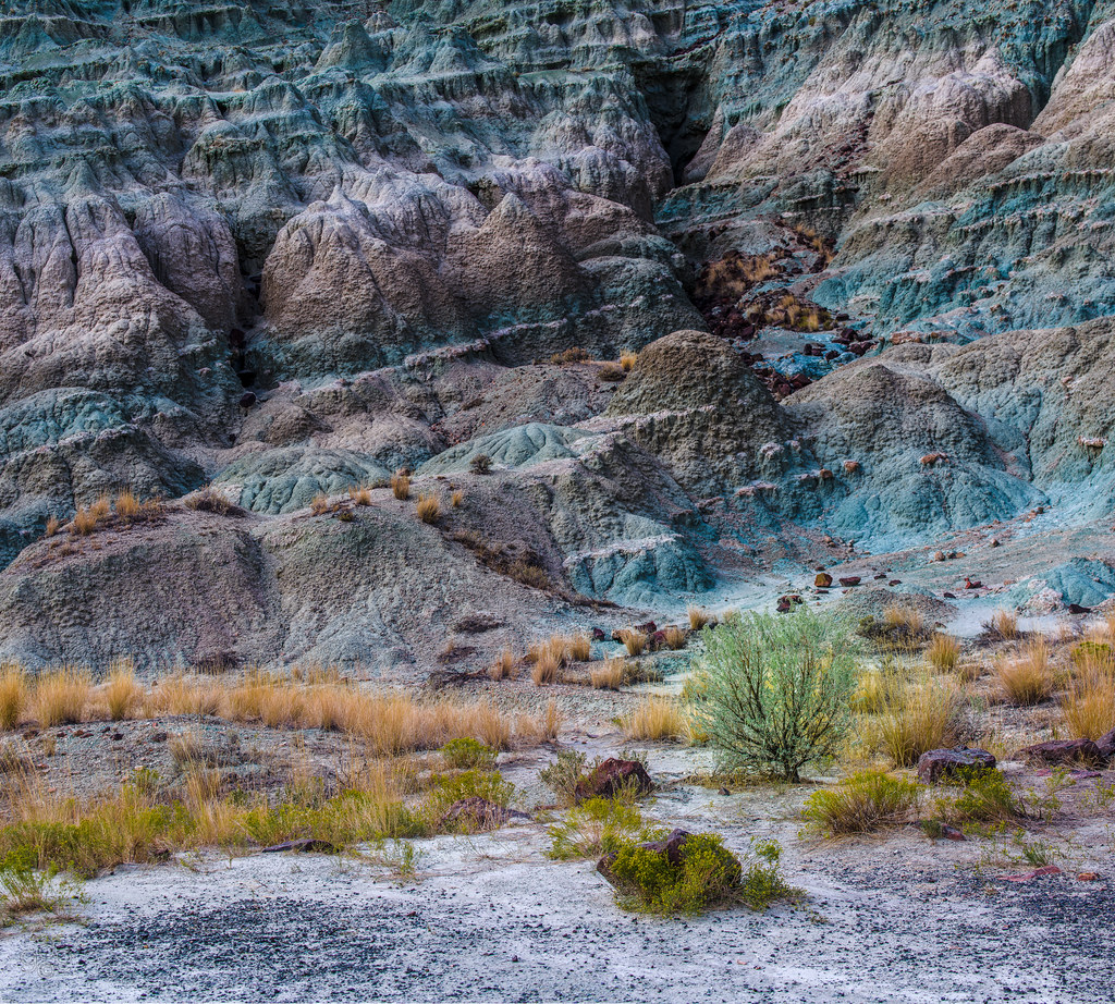
Blue Basin Badlands, John Day Fossil Beds National Monument, Oregon
wrapped tightly in a distant disease
D70-0920-090 - View
D70-0920-104 - View
D70-0920-105 - View
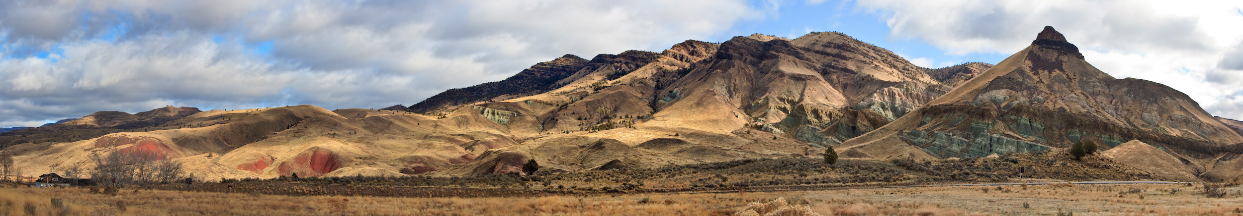
Sheep Rock Panorama
John Day Fossil Beds
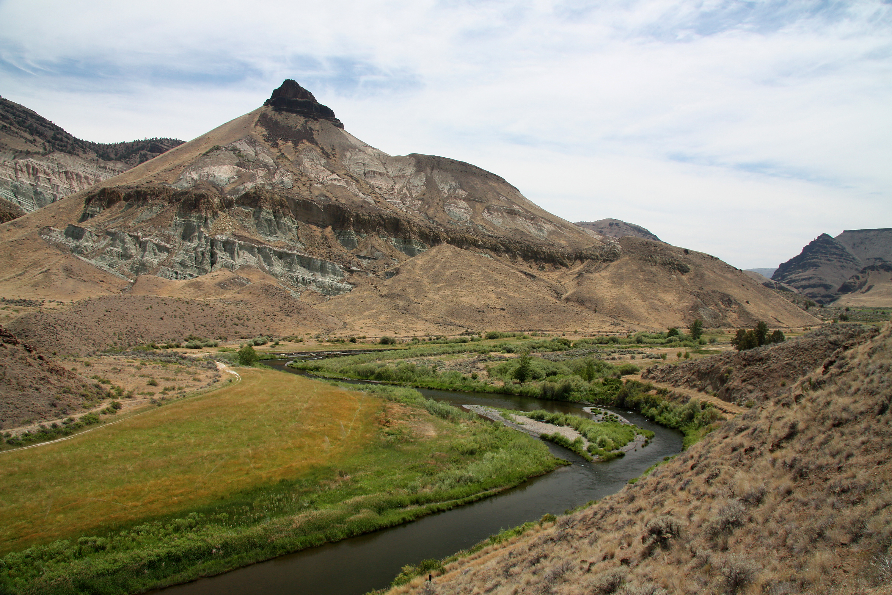
Sheep Rock and John Day River
John Day Fossil Beds
John Day Fossil Beds
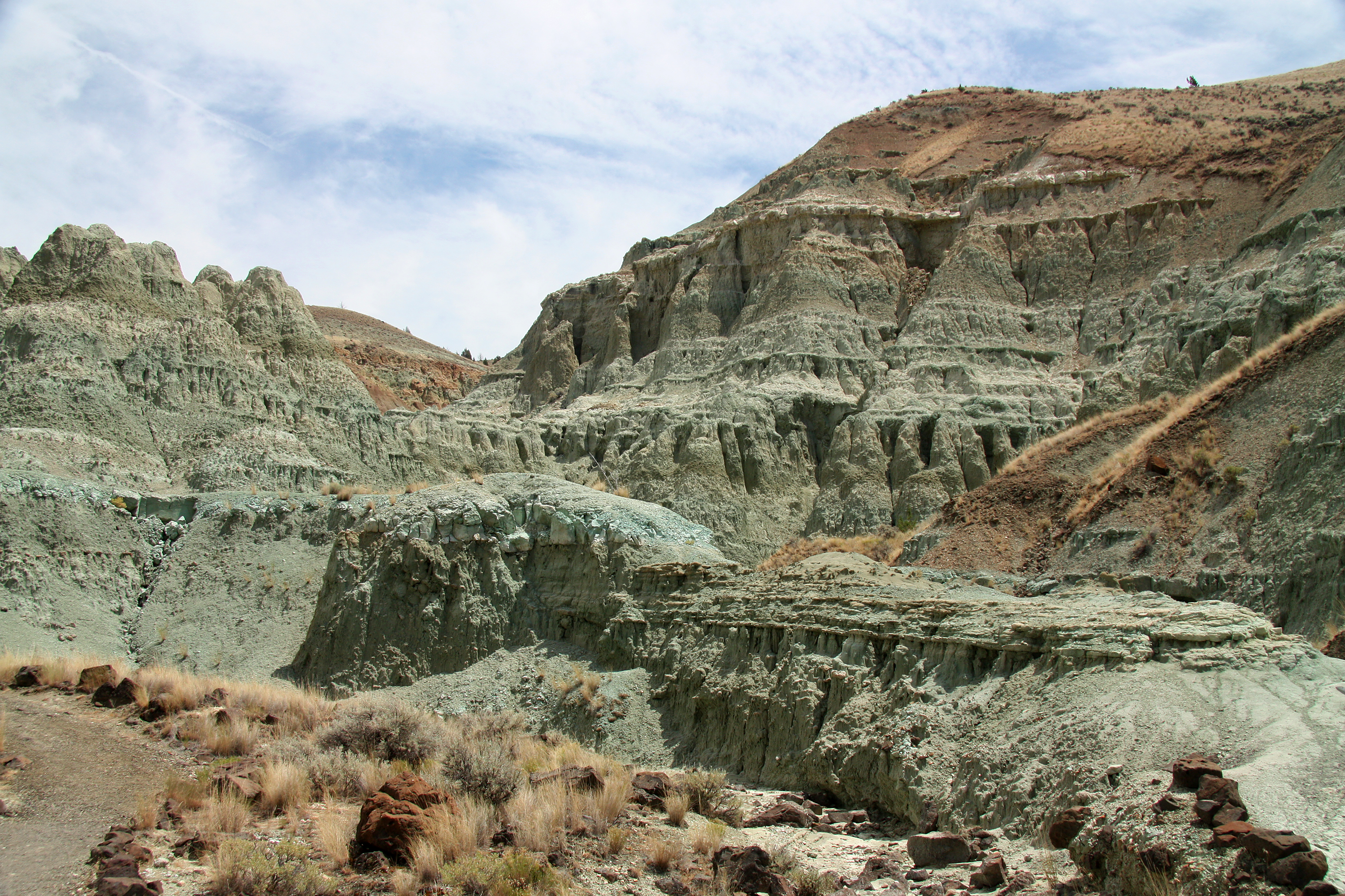
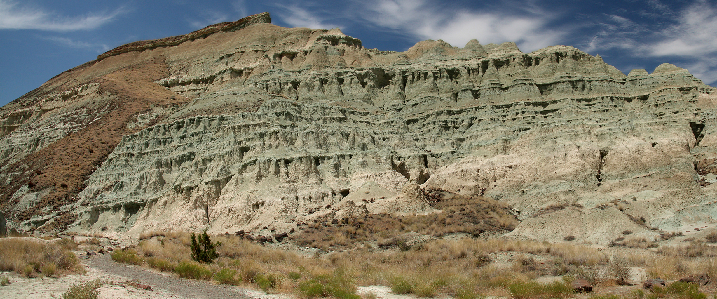
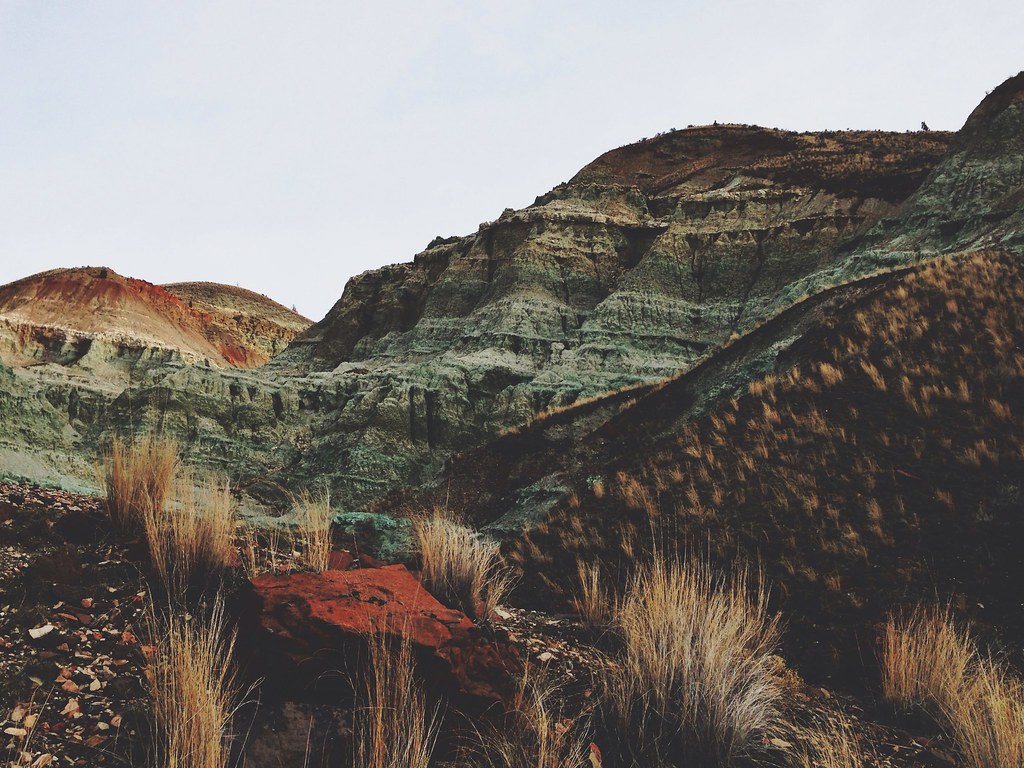
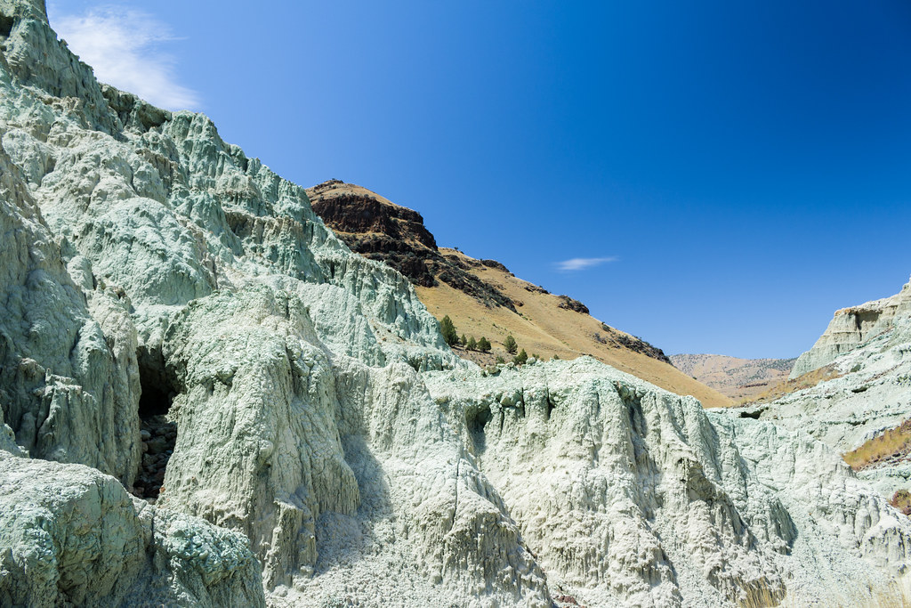
Blue Basin
Blue Basin
John Day Fossil Beds
Mascall Formation
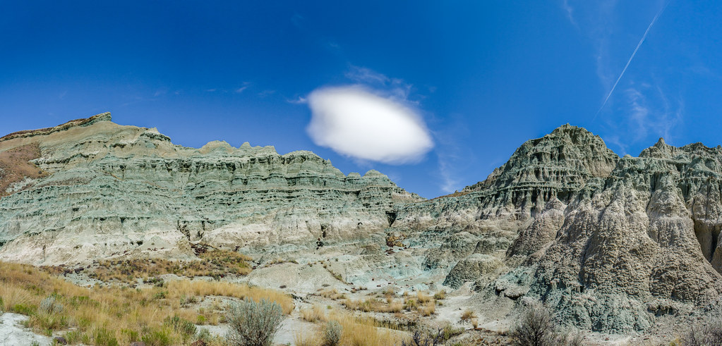
Blue Basin Panorama
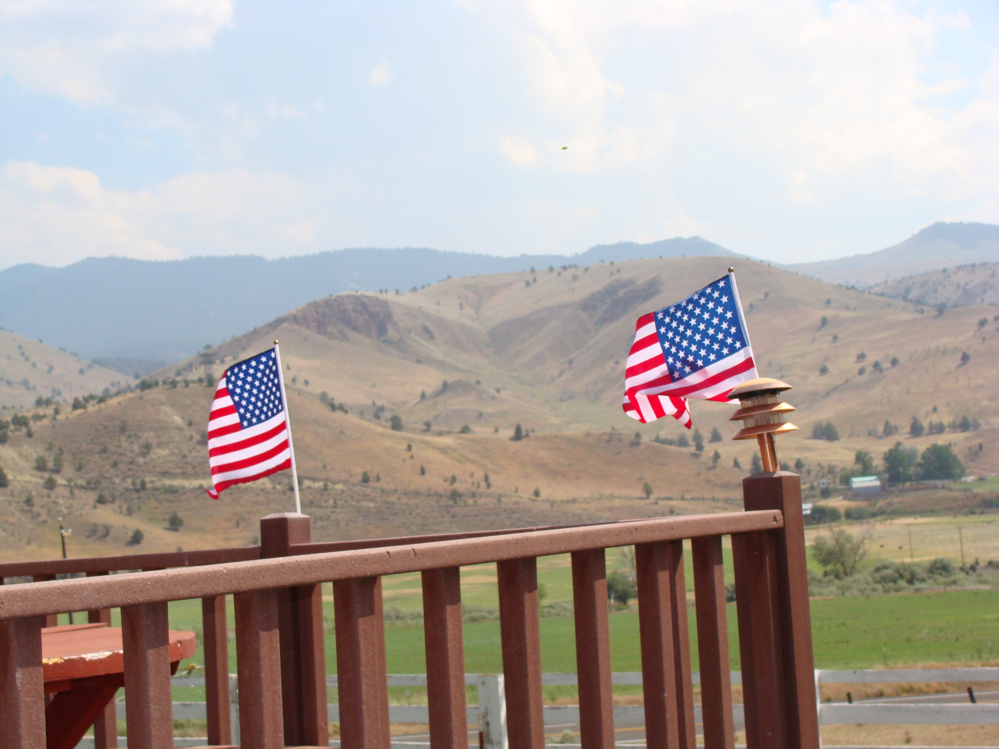
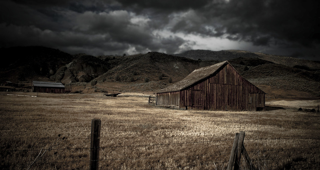
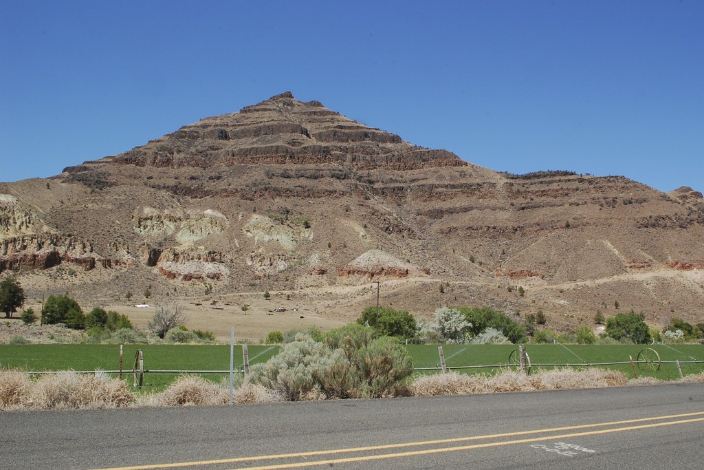
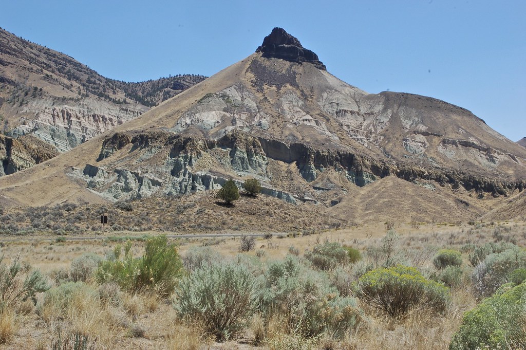
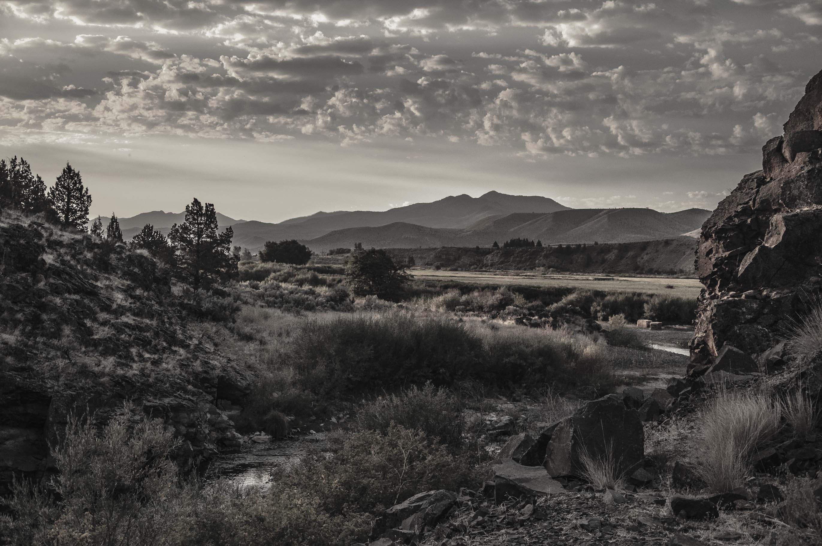
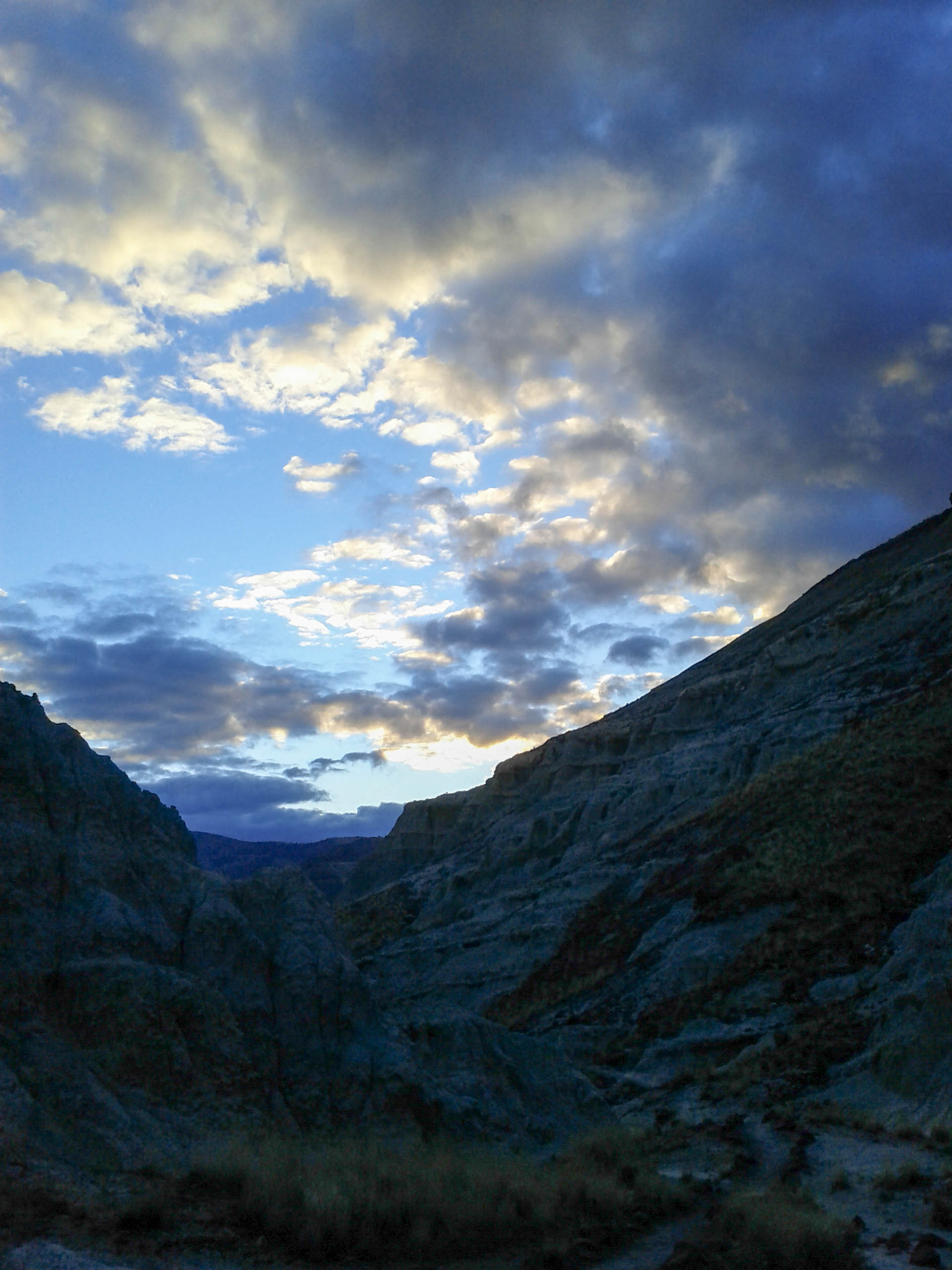
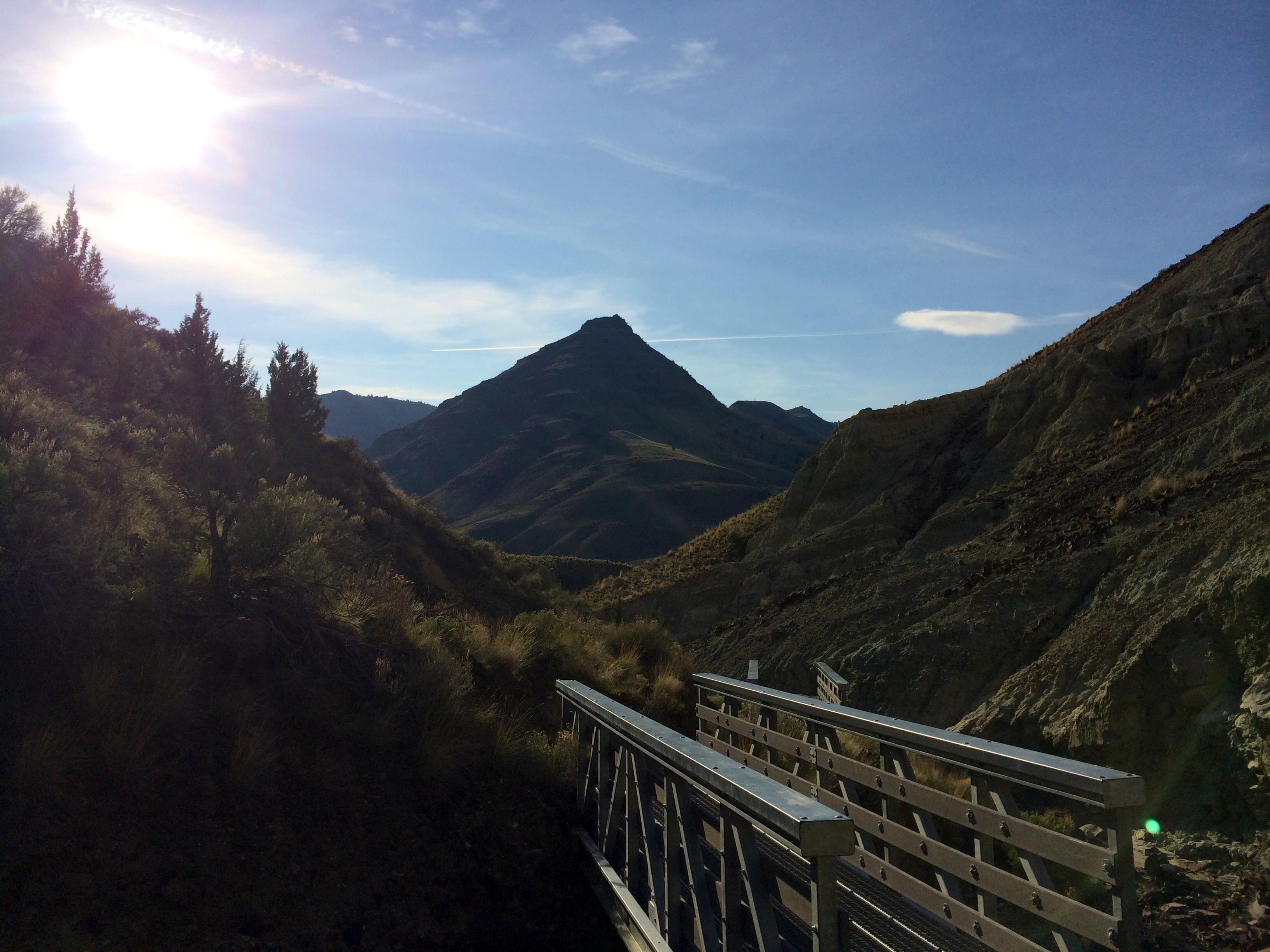
View of the mountain range south of Dayville
Sheep Rock
Island in Time
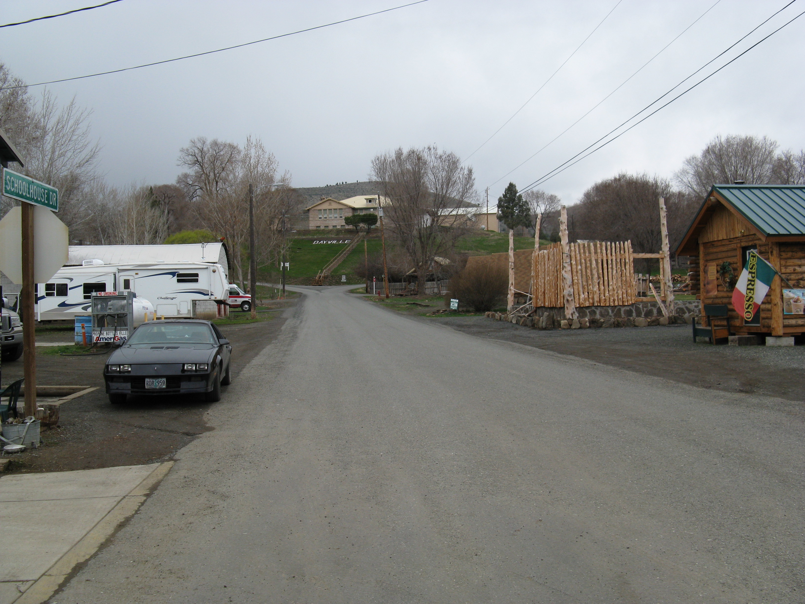
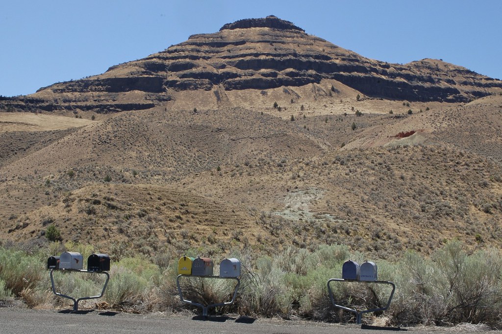
Dayville, OR View of Schoolhouse Road

Barely in View
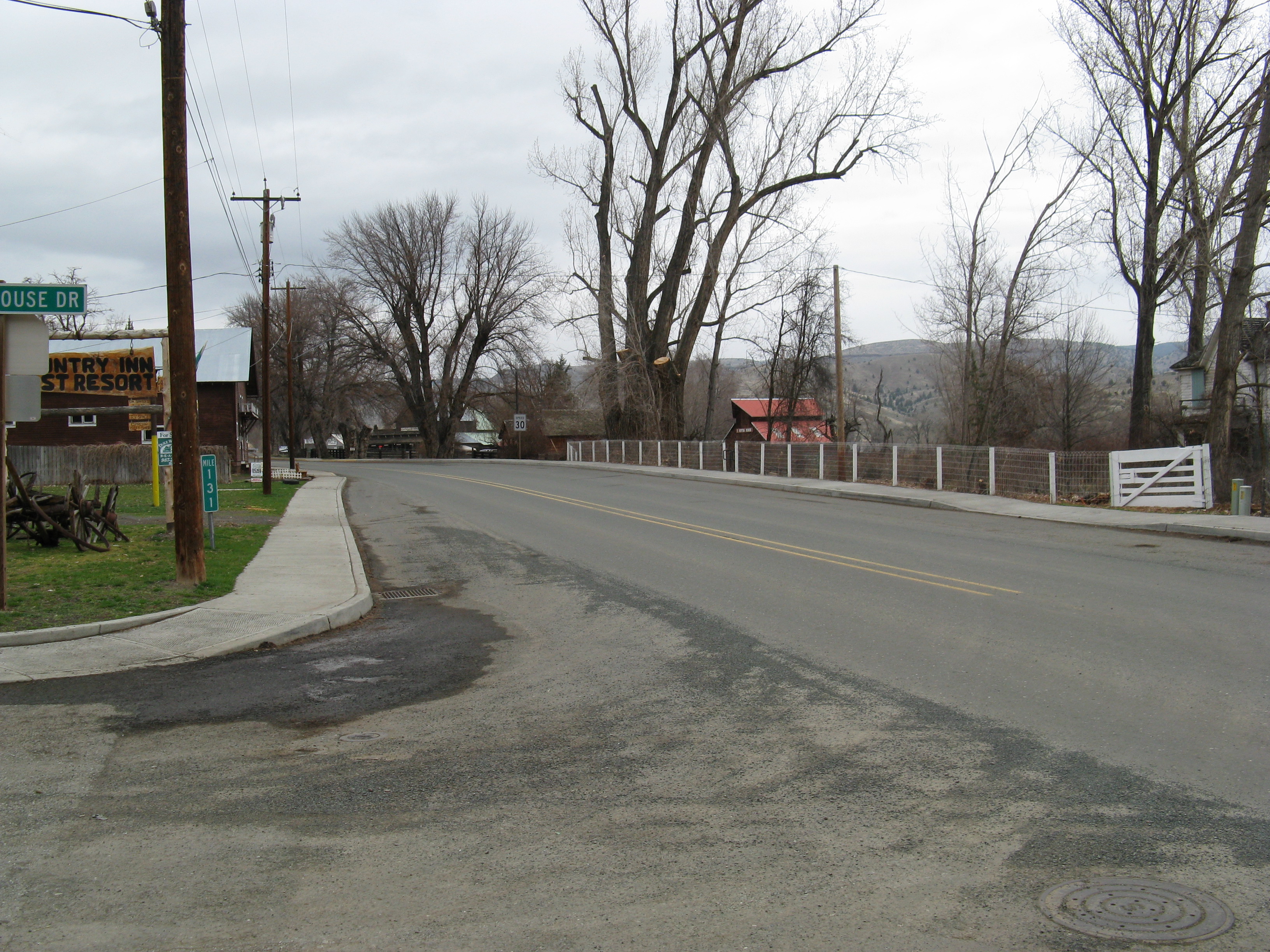
Dayville, OR view of U.S. 26 west from Schoolhouse Road
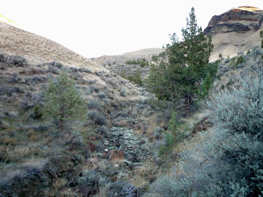
... greeting the sun with the rattlesnakes .... [they didn't come out; it was too chilly.] Rattlesnake Creek, in Picture Gorge, in dry season.]

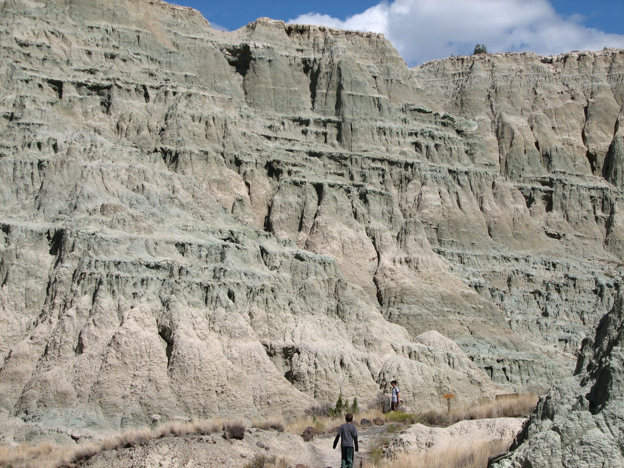
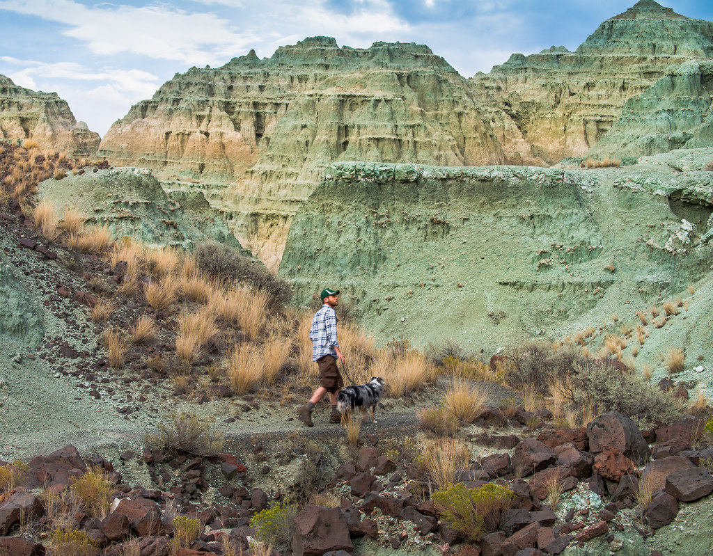
Blue Basin, Island in Time Trail, Sheep Rock Unit, John Day Fossil Beds, Oregon

Blue Basin
IMG_5189-Edit.jpg
2015-02-21 17.17.44.jpg

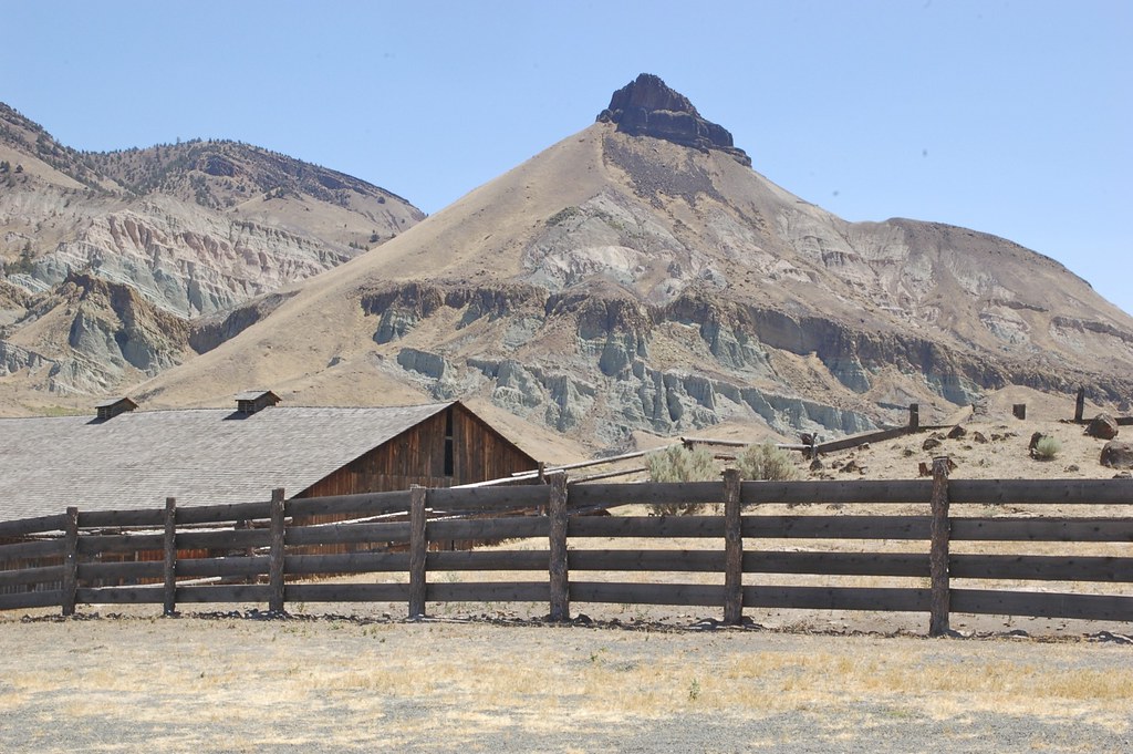
Sheep Rock
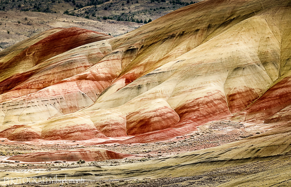
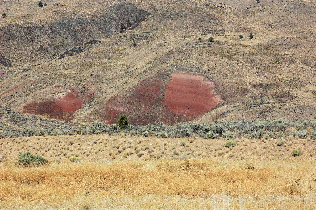
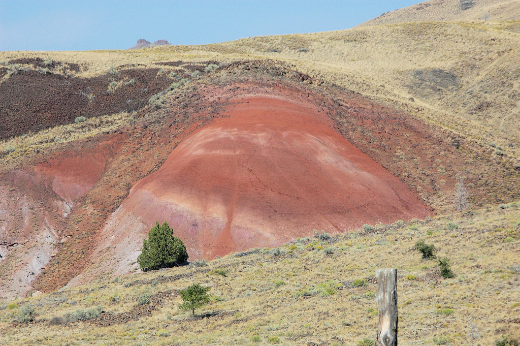
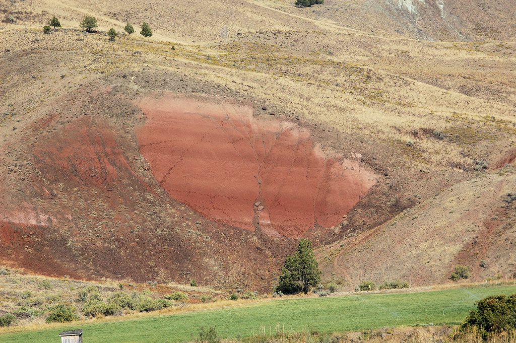
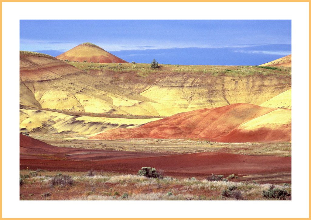
PAINTED HILLS
IMG_5204.jpg
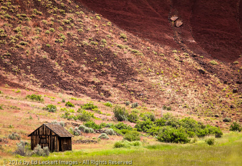
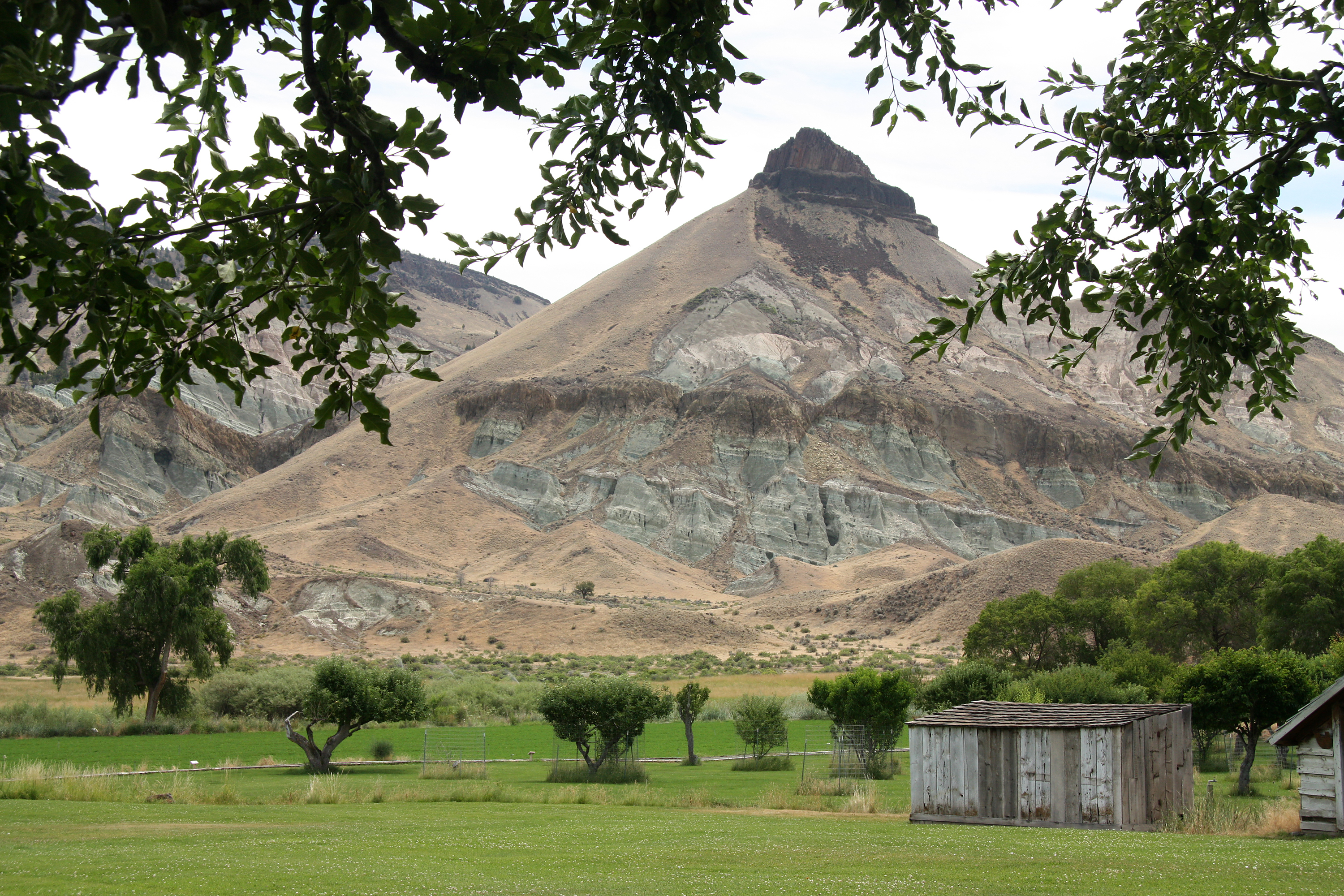
The Shed, John Day Fossil Beds National Monument, Oregon
Blue Basin / Red Remnant
Time travelers
Thomas Condon Paleontology Center

IMG_5183.jpg
Inside the Blue Basin
IMG_5211.jpg

Blue Basin Ampitheater, Sheep Rock Unit
Eastern Oregon roadtrip

Blue Basin
Pastel Palette

The painted hills of John Day.
Topographic Map of Dayville, OR, USA
Find elevation by address:

Places in Dayville, OR, USA:
Places near Dayville, OR, USA:
Franklin St, Dayville, OR, USA
John Day Fossil Beds National Monument
Weberg Rd, Paulina, OR, USA
Spray
109 Asher St
23684 Winlock Ln
23684 Winlock Rd
Richmond Rd, Spray, OR, USA
Paulina
Wheeler County
Crook County
33998 Cougar Mountain Rd
Walton Lake
Fossil
2648 Ne Double L Rd
Oregon
Southeast Golden Eagle Drive
7635 Se Walther Loop
Antelope
6698 Se Weatherby Loop
Recent Searches:
- Elevation of Corso Fratelli Cairoli, 35, Macerata MC, Italy
- Elevation of Tallevast Rd, Sarasota, FL, USA
- Elevation of 4th St E, Sonoma, CA, USA
- Elevation of Black Hollow Rd, Pennsdale, PA, USA
- Elevation of Oakland Ave, Williamsport, PA, USA
- Elevation of Pedrógão Grande, Portugal
- Elevation of Klee Dr, Martinsburg, WV, USA
- Elevation of Via Roma, Pieranica CR, Italy
- Elevation of Tavkvetili Mountain, Georgia
- Elevation of Hartfords Bluff Cir, Mt Pleasant, SC, USA