Elevation of Spray, OR, USA
Location: United States > Oregon > Wheeler County >
Longitude: -119.79444
Latitude: 44.8343064
Elevation: 546m / 1791feet
Barometric Pressure: 95KPa
Elevation Map:
Satellite Map:
Related Photos:

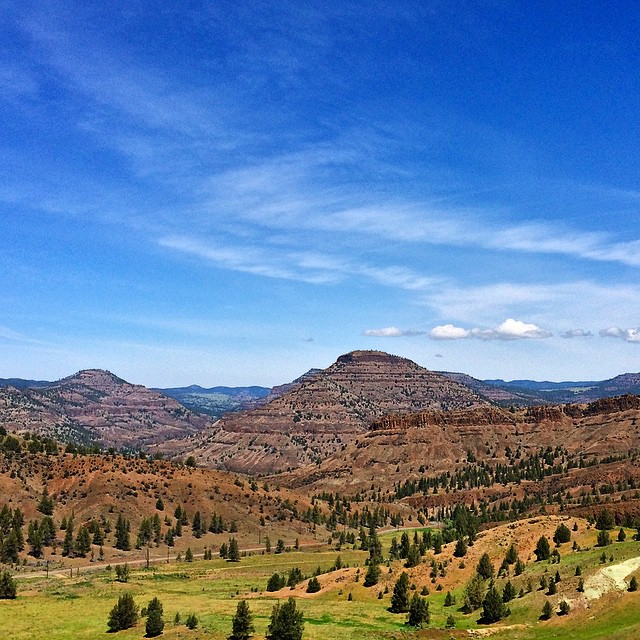
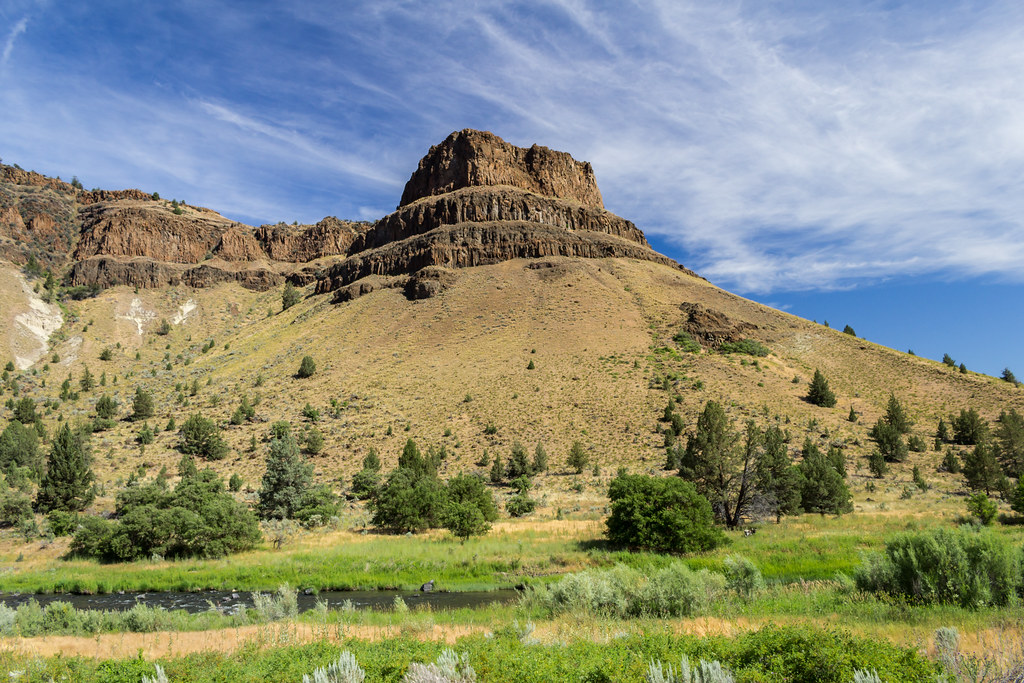
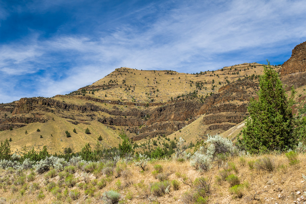
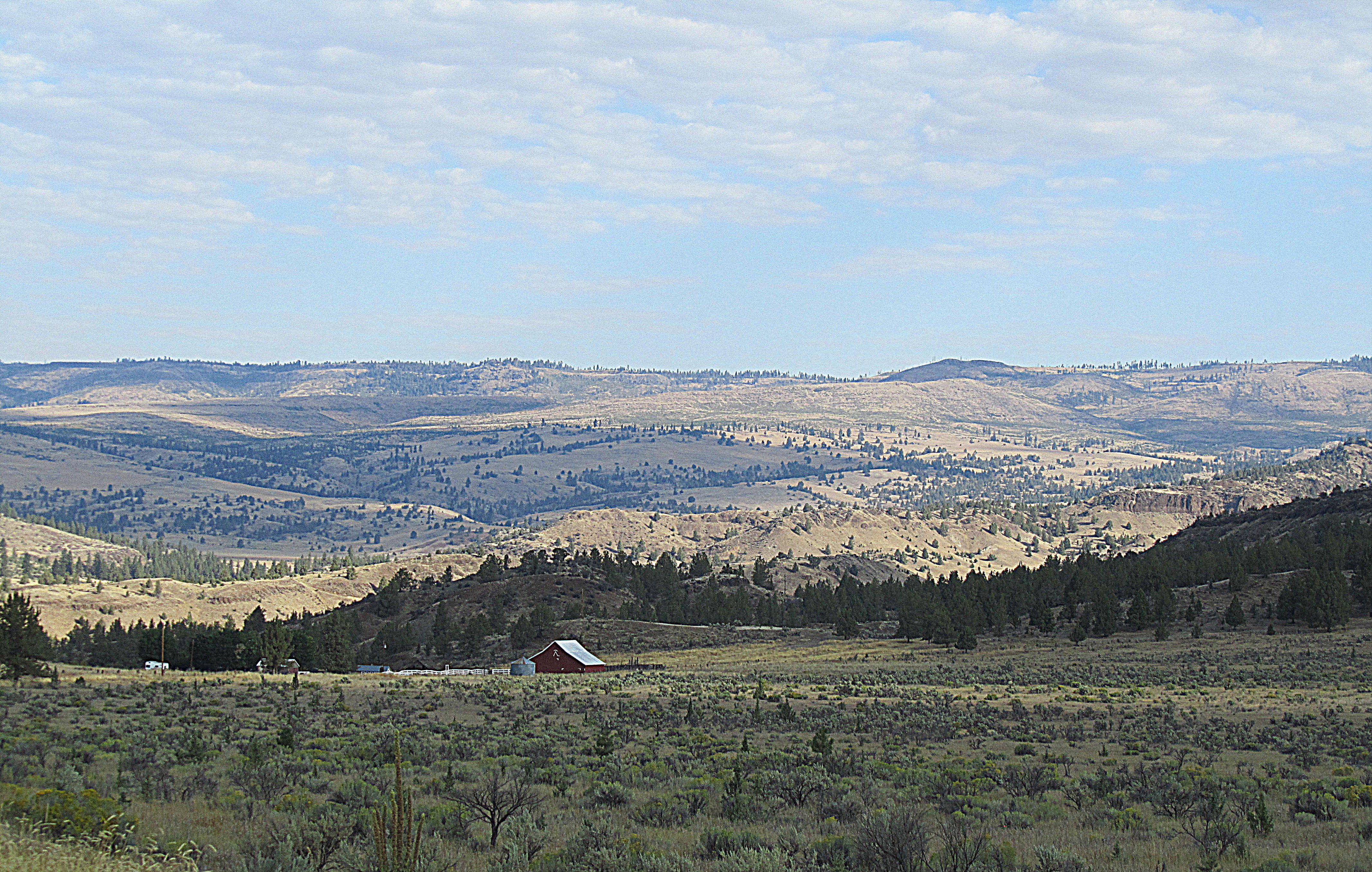
Scraggly Pass
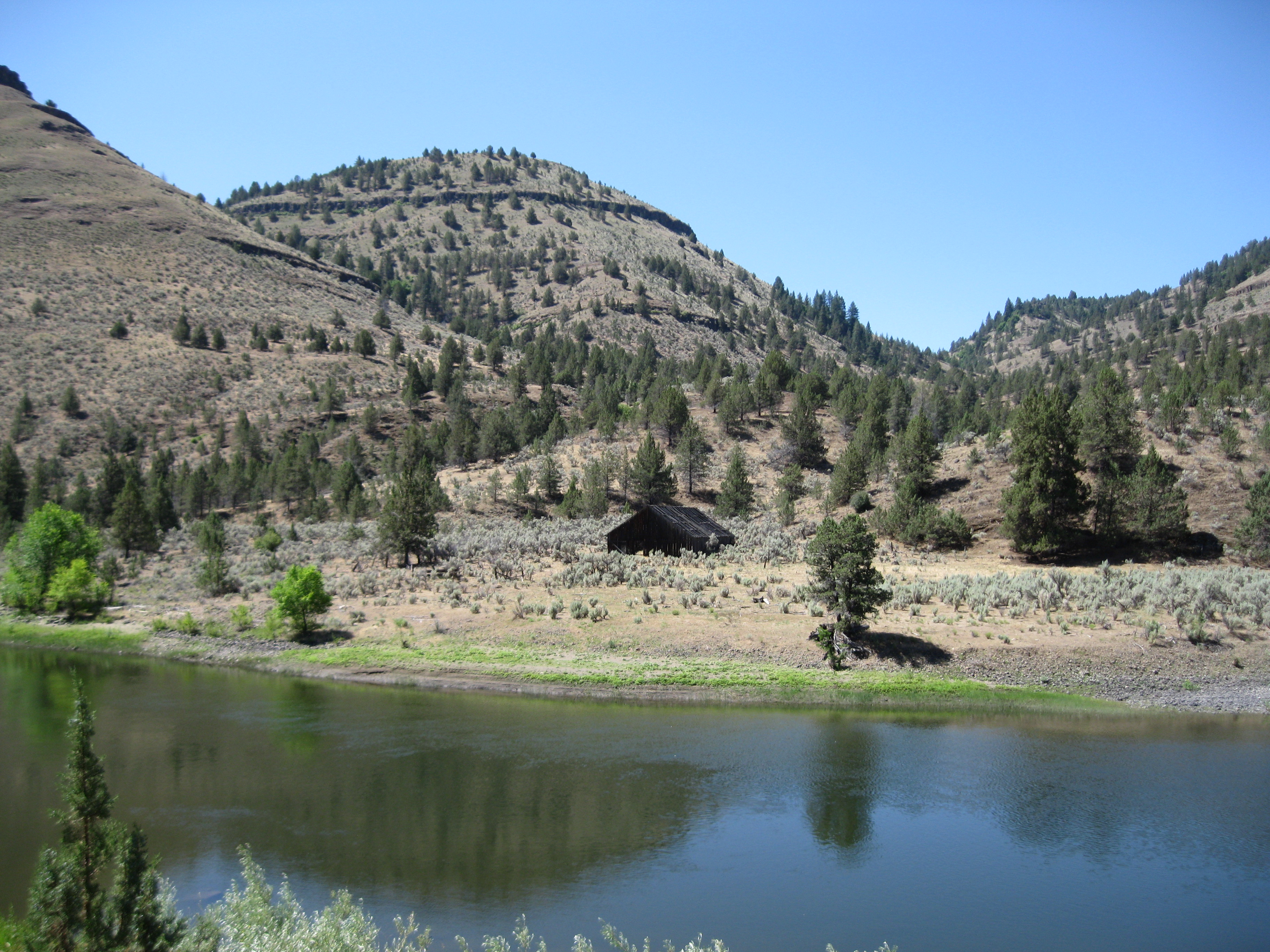
John Day River, Oregon
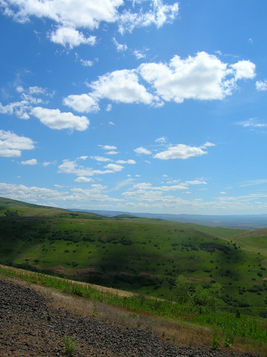
The Hills Are Alive

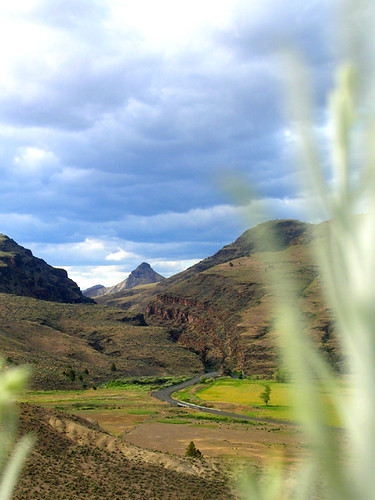
The John Day, west of Spray
#jj_westcoast #jj_oregon #oregon #oregonorgasm #oregonexplored #outside_project #bestoforegon #briskoutdoors #rosecityspy #artofvisuals #adventurevisuals #theoutbound #traveloregon #theworld_thru_youreyes #cascadiaexplored #pnw #ppnw #pnwoutdoors #pnwcoll

John Day River
IMG_4994.jpg
IMG_4999.jpg
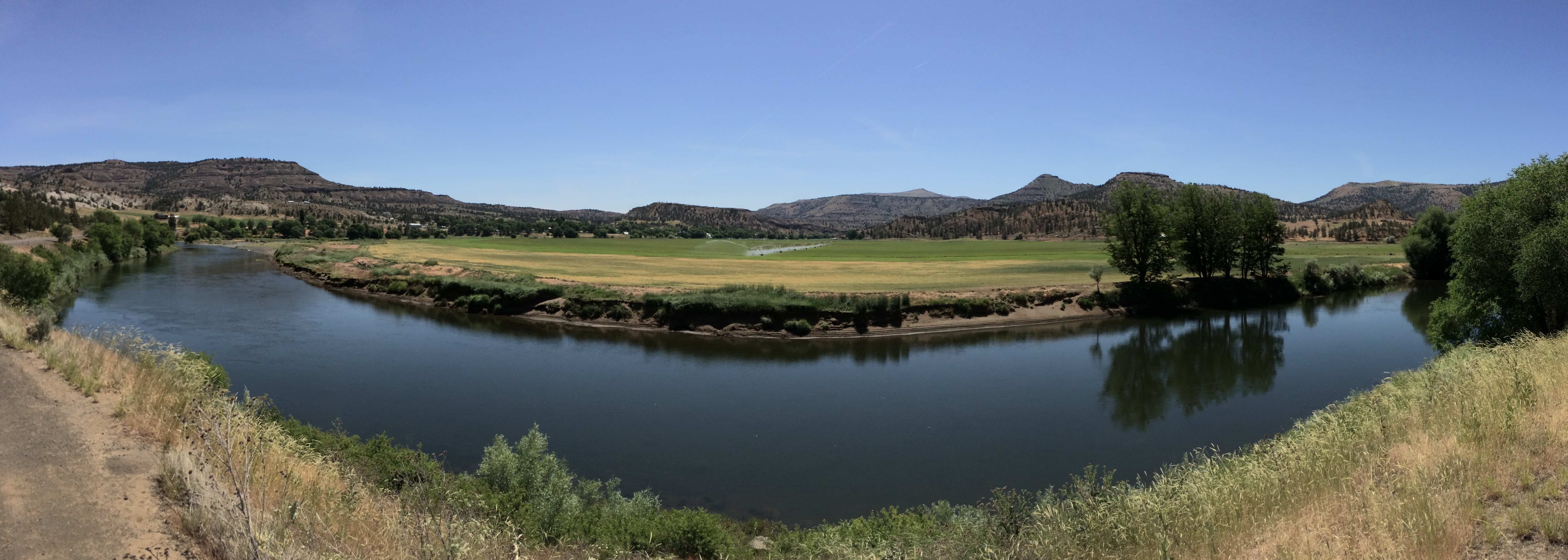
John Day River at Spray, Oregon

IMG_4997.jpg
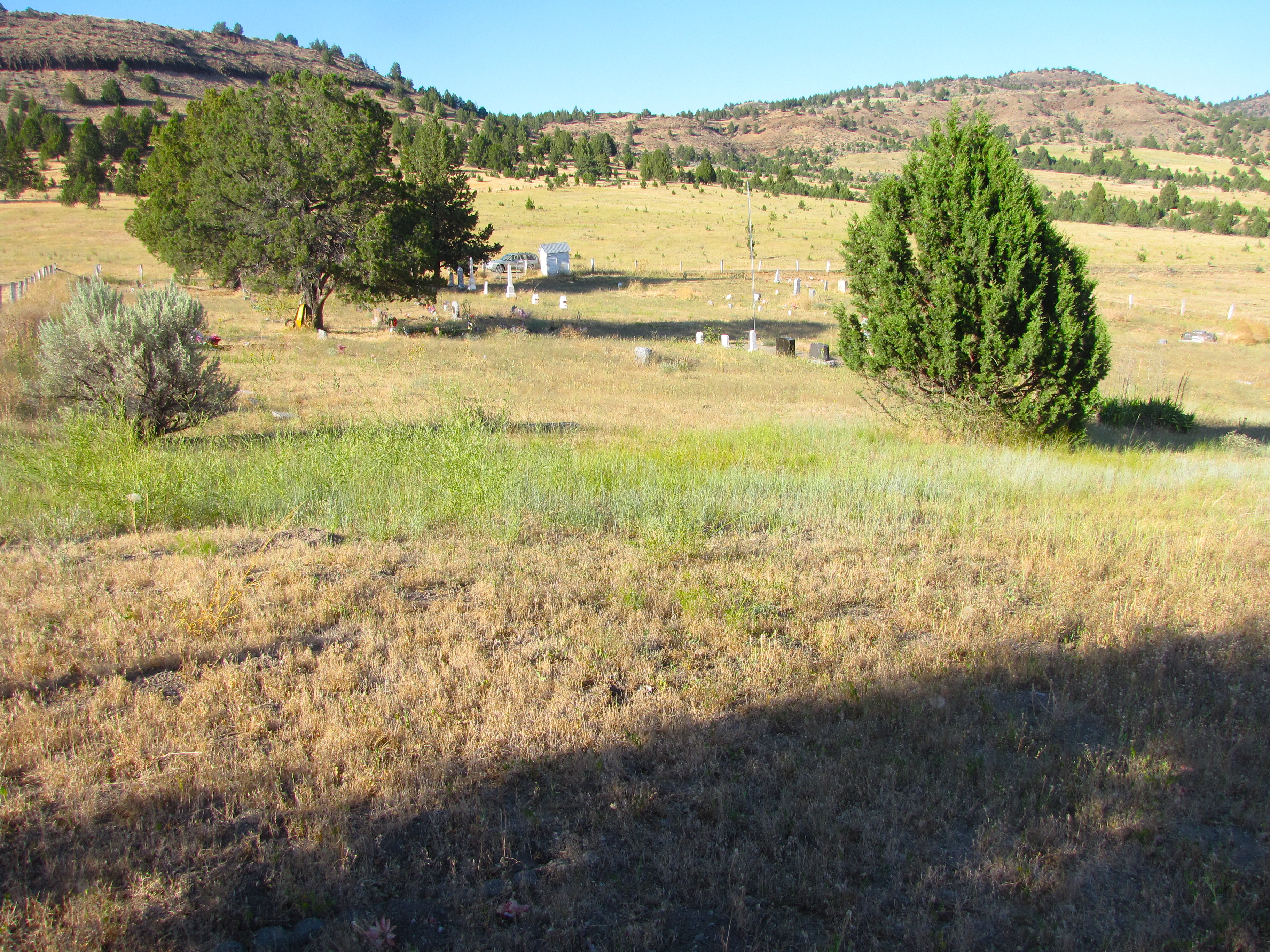
haystack cemetery
Kahler Basin

haystack cemetery - spray, or
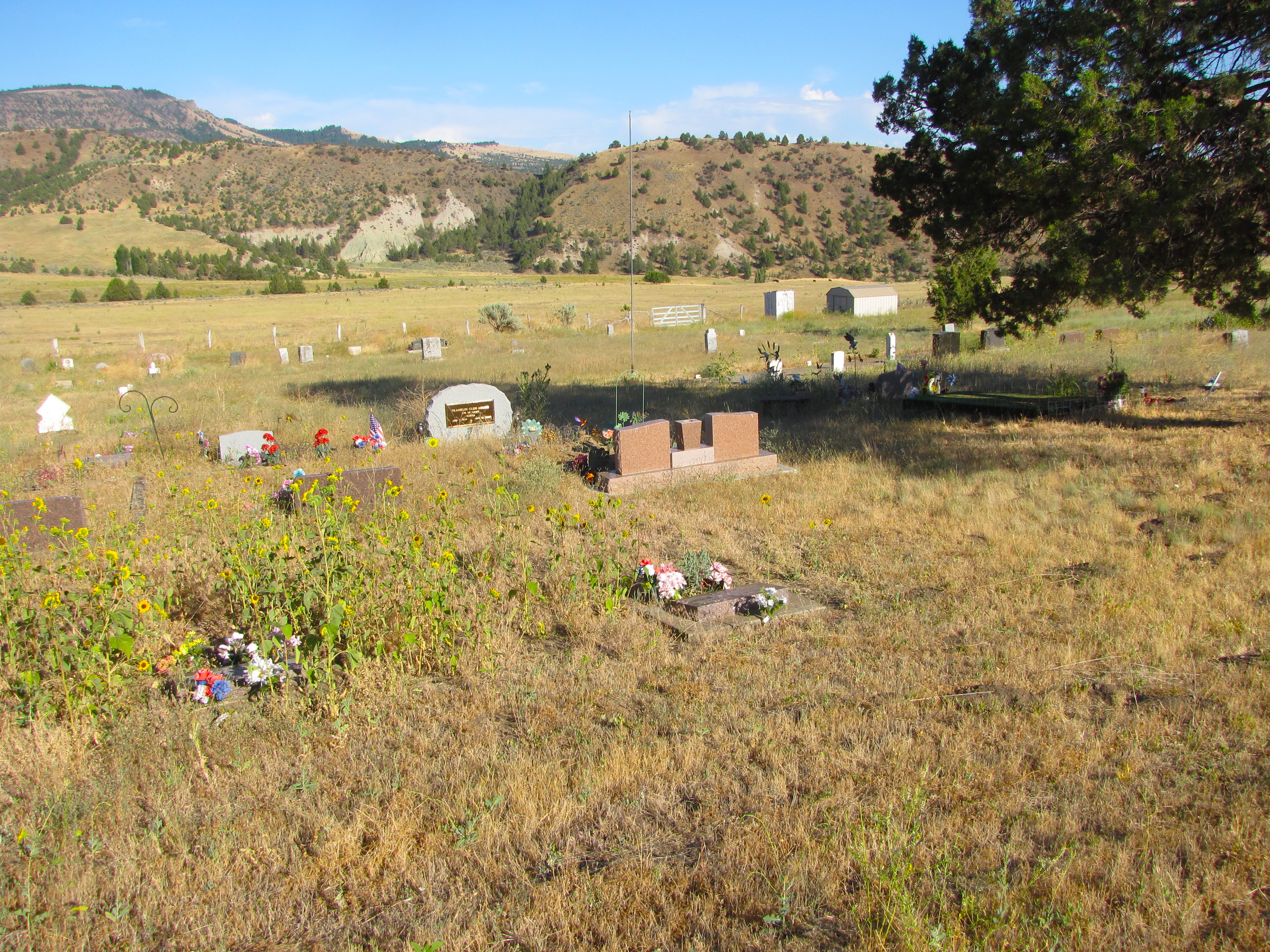
haystack cemetery

haystack cemetery
Topographic Map of Spray, OR, USA
Find elevation by address:

Places in Spray, OR, USA:
Places near Spray, OR, USA:
109 Asher St
23684 Winlock Ln
23684 Winlock Rd
Richmond Rd, Spray, OR, USA
John Day Fossil Beds National Monument
Wheeler County
Franklin St, Dayville, OR, USA
Dayville
Fossil
33998 Cougar Mountain Rd
Walton Lake
Paulina
Weberg Rd, Paulina, OR, USA
Crook County
Antelope
2648 Ne Double L Rd
Southeast Golden Eagle Drive
7635 Se Walther Loop
Southeast Combs Flat Road
Prineville
Recent Searches:
- Elevation of Corso Fratelli Cairoli, 35, Macerata MC, Italy
- Elevation of Tallevast Rd, Sarasota, FL, USA
- Elevation of 4th St E, Sonoma, CA, USA
- Elevation of Black Hollow Rd, Pennsdale, PA, USA
- Elevation of Oakland Ave, Williamsport, PA, USA
- Elevation of Pedrógão Grande, Portugal
- Elevation of Klee Dr, Martinsburg, WV, USA
- Elevation of Via Roma, Pieranica CR, Italy
- Elevation of Tavkvetili Mountain, Georgia
- Elevation of Hartfords Bluff Cir, Mt Pleasant, SC, USA