Elevation of Lake Arrowhead, CA, USA
Location: United States > California > San Bernardino County >
Longitude: -117.18920
Latitude: 34.2483396
Elevation: 1578m / 5177feet
Barometric Pressure: 84KPa
Elevation Map:
Satellite Map:
Related Photos:
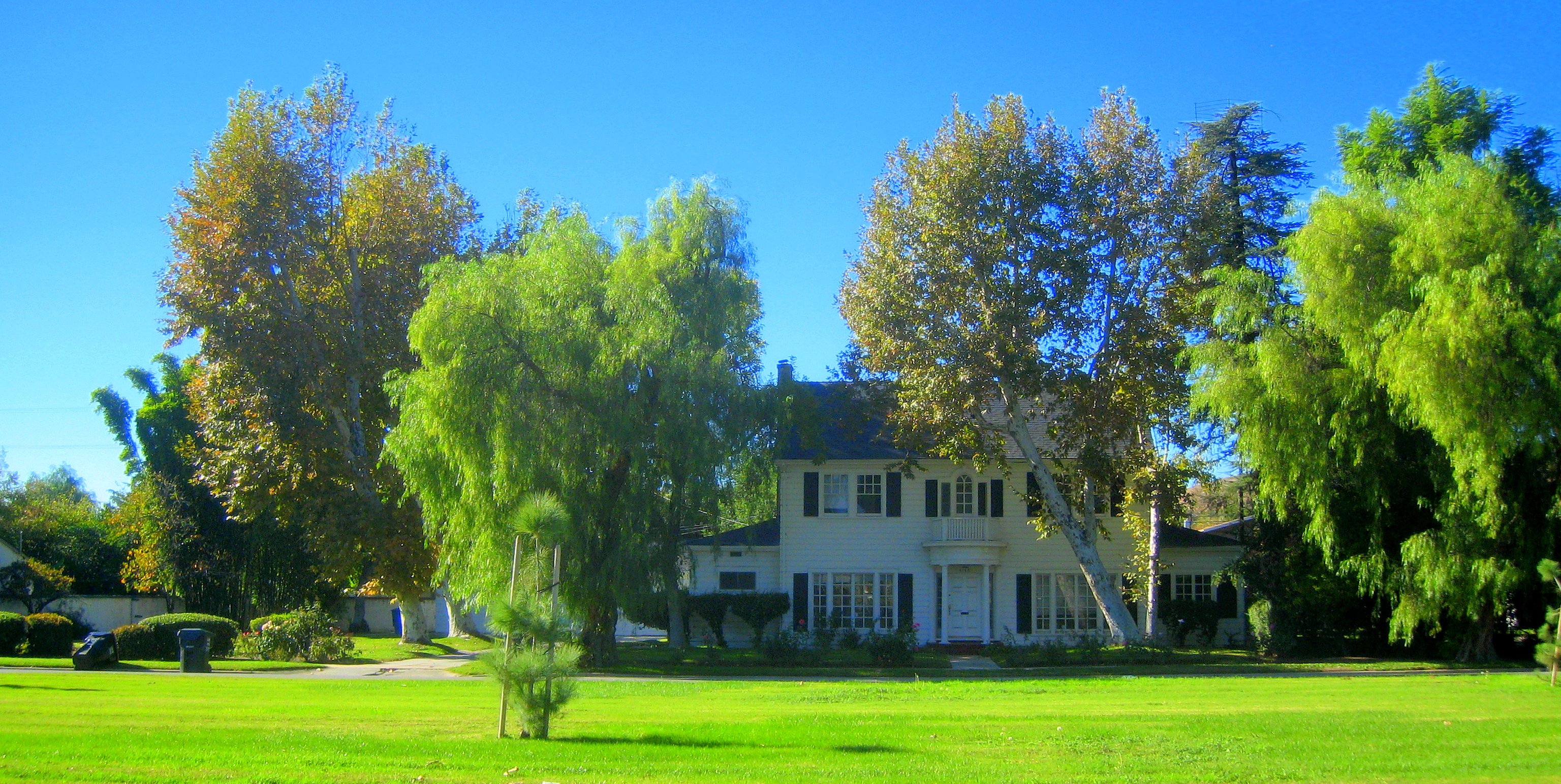
South from Marie Louise

prcssd. combat camera. san bernardino, ca. 2011.

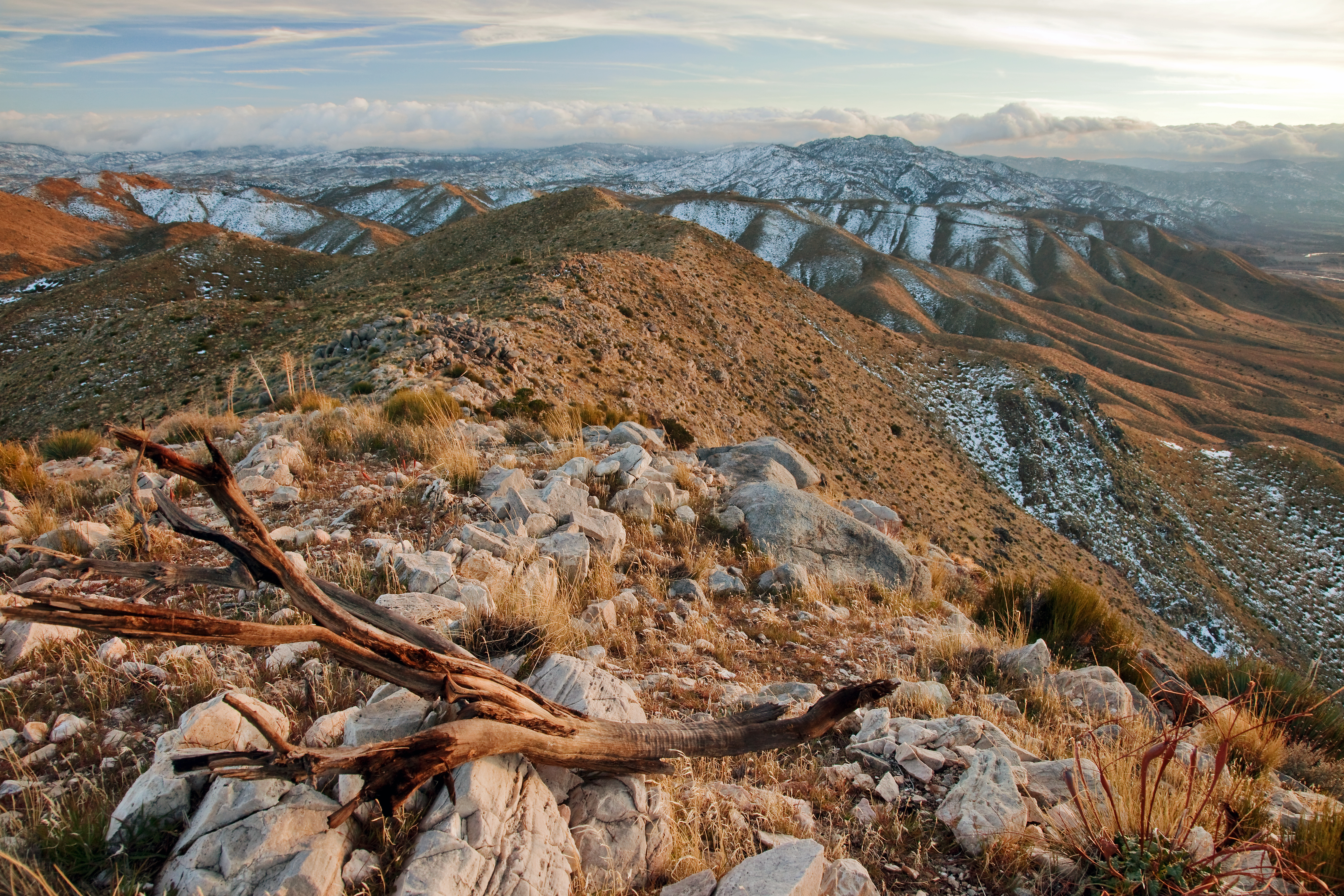
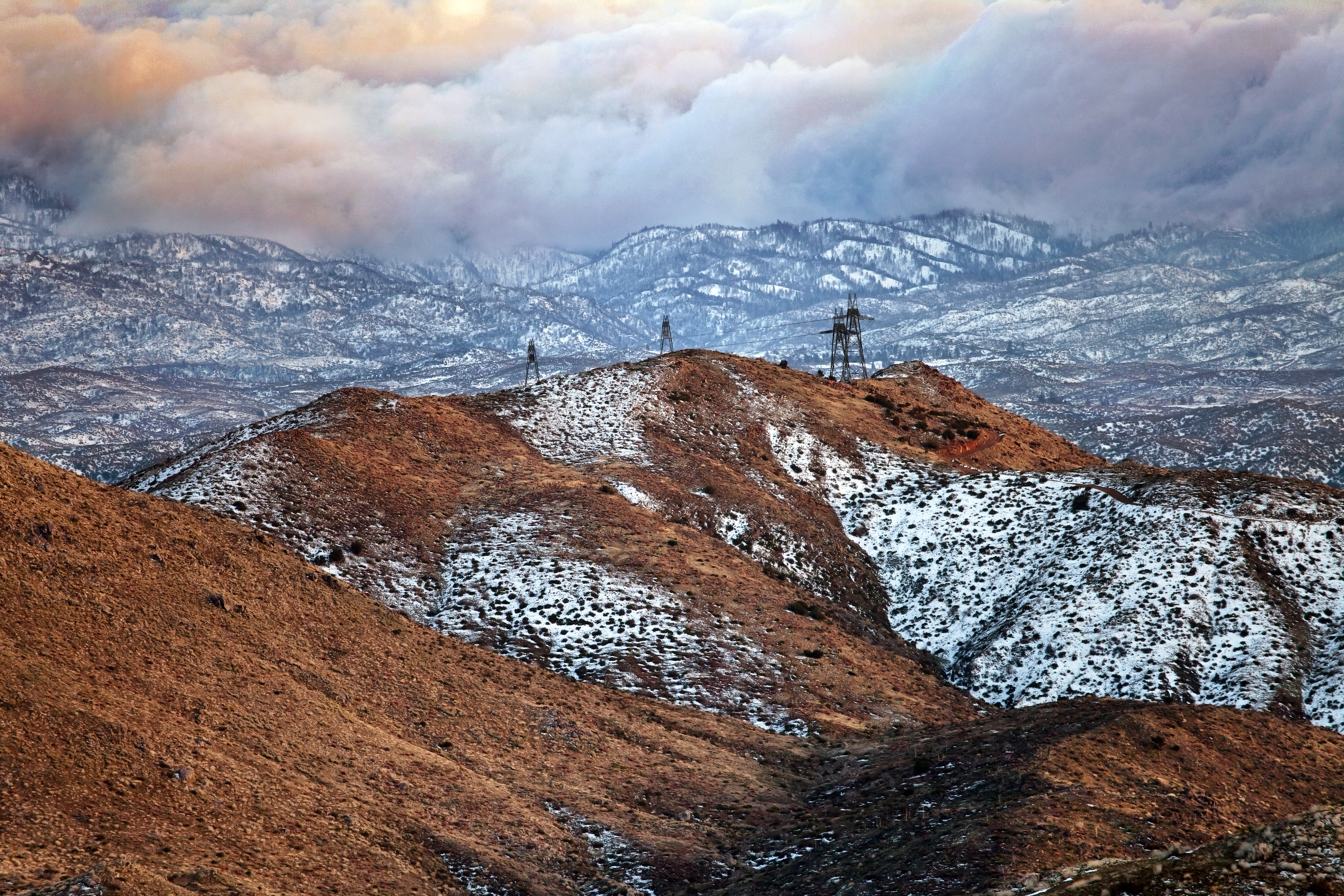
After the Storm, Ord Mountains [Explored]

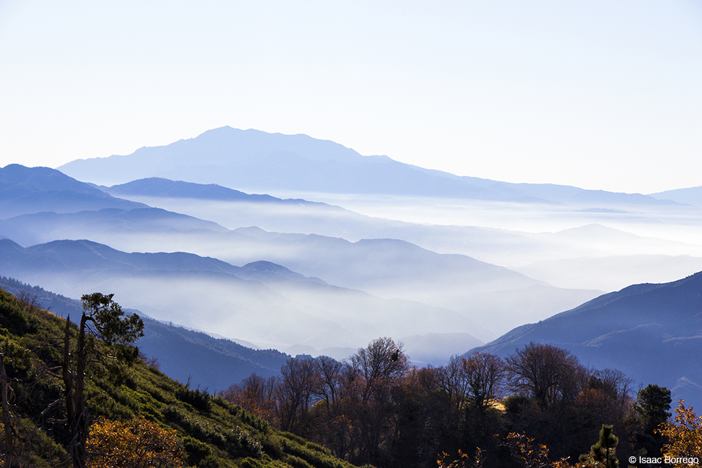
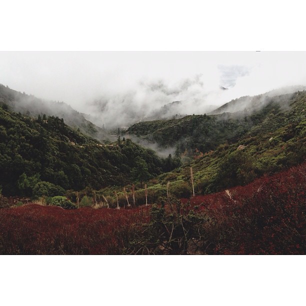
Islands in the Mist

air combat camera service. san bernardino, ca. 2011.
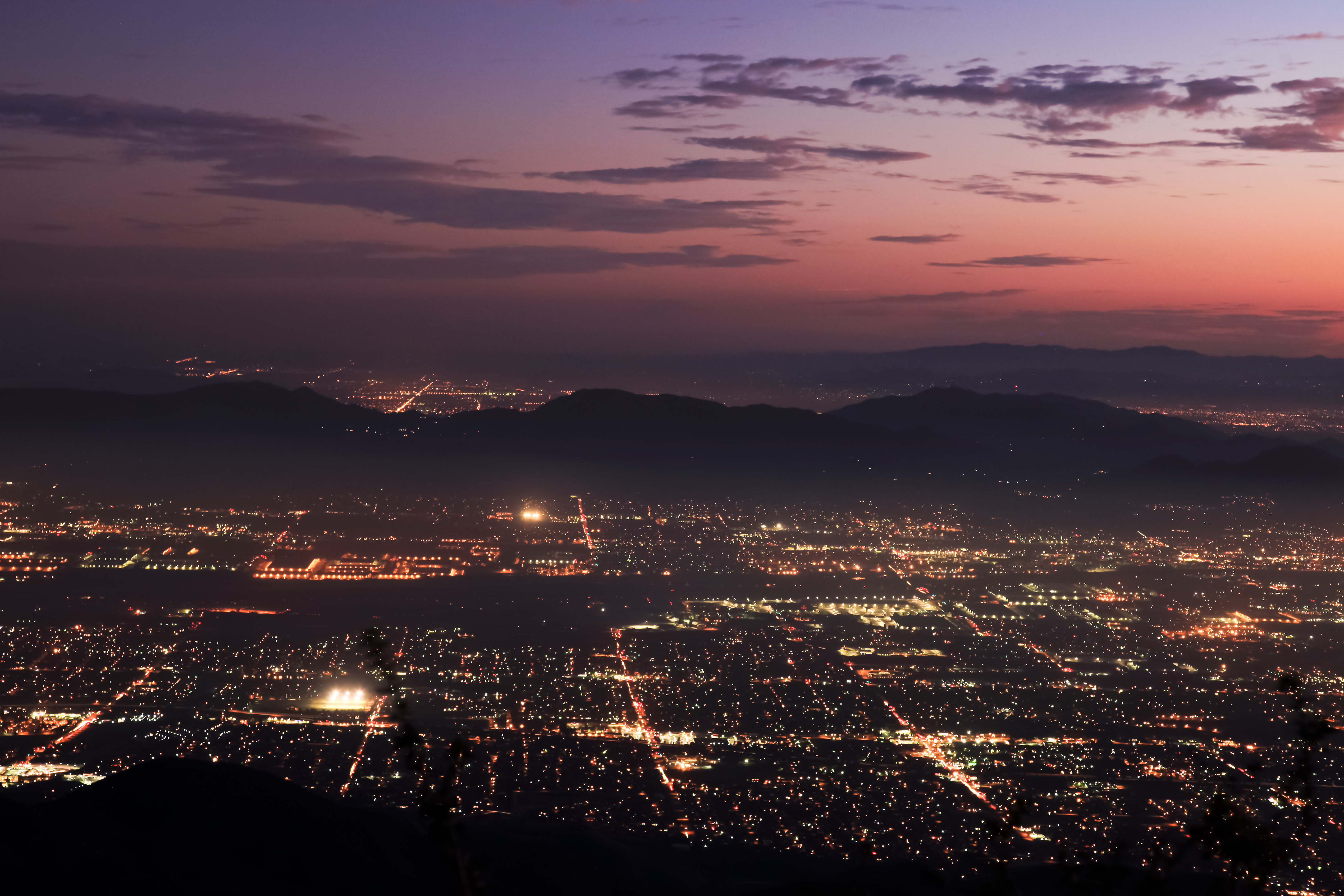
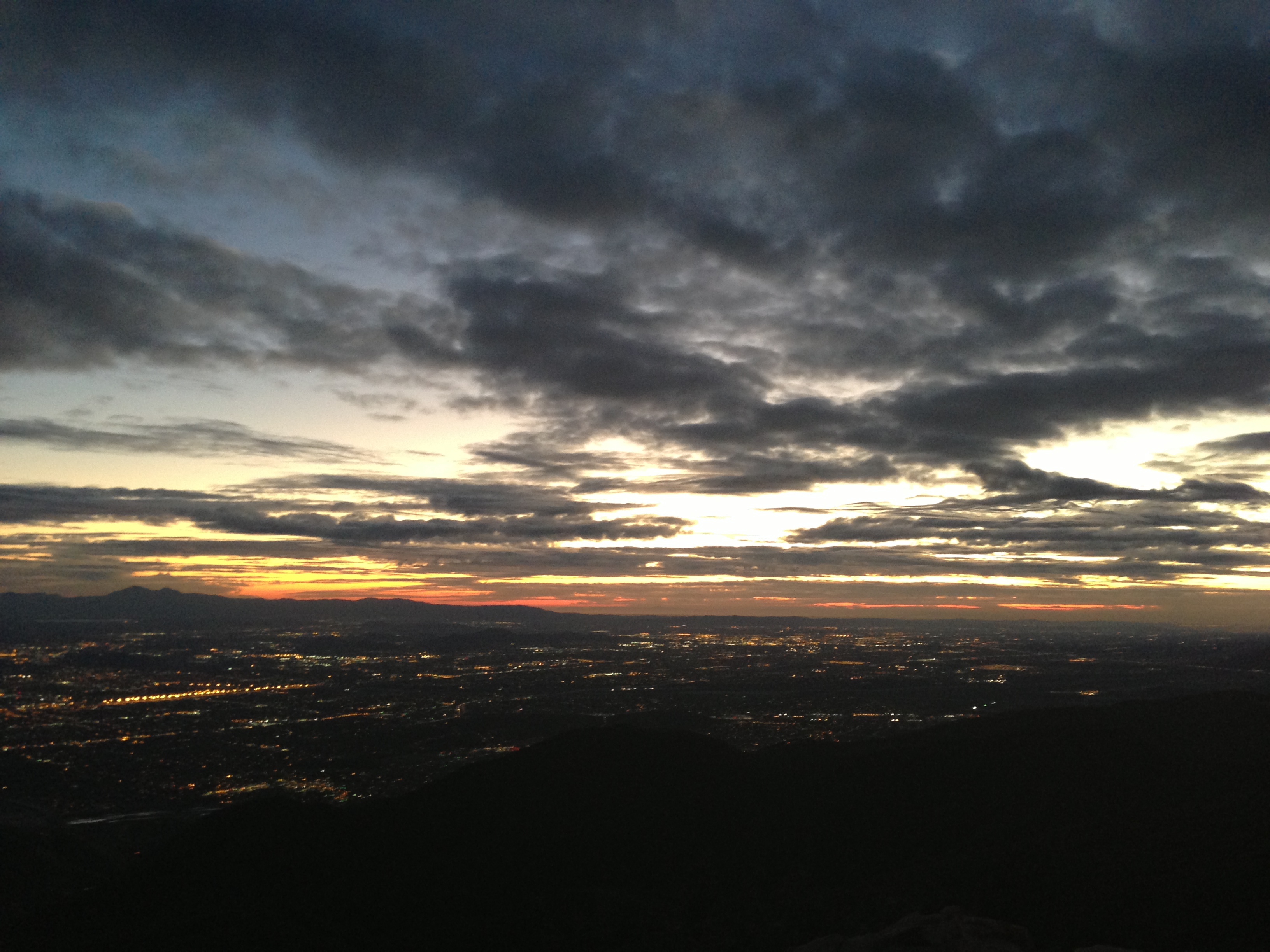
Nighttime over the Inland Empire
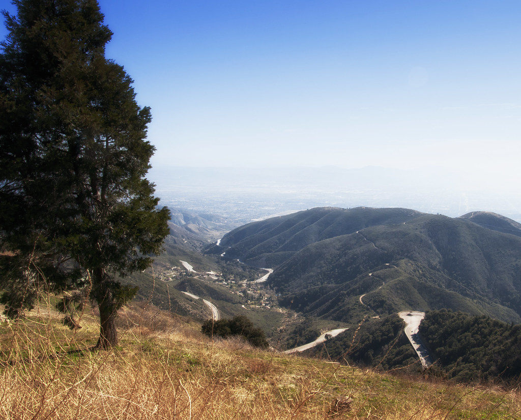
A View of the Mountain Road in Crestline, California

San Bernardino City Unified School District
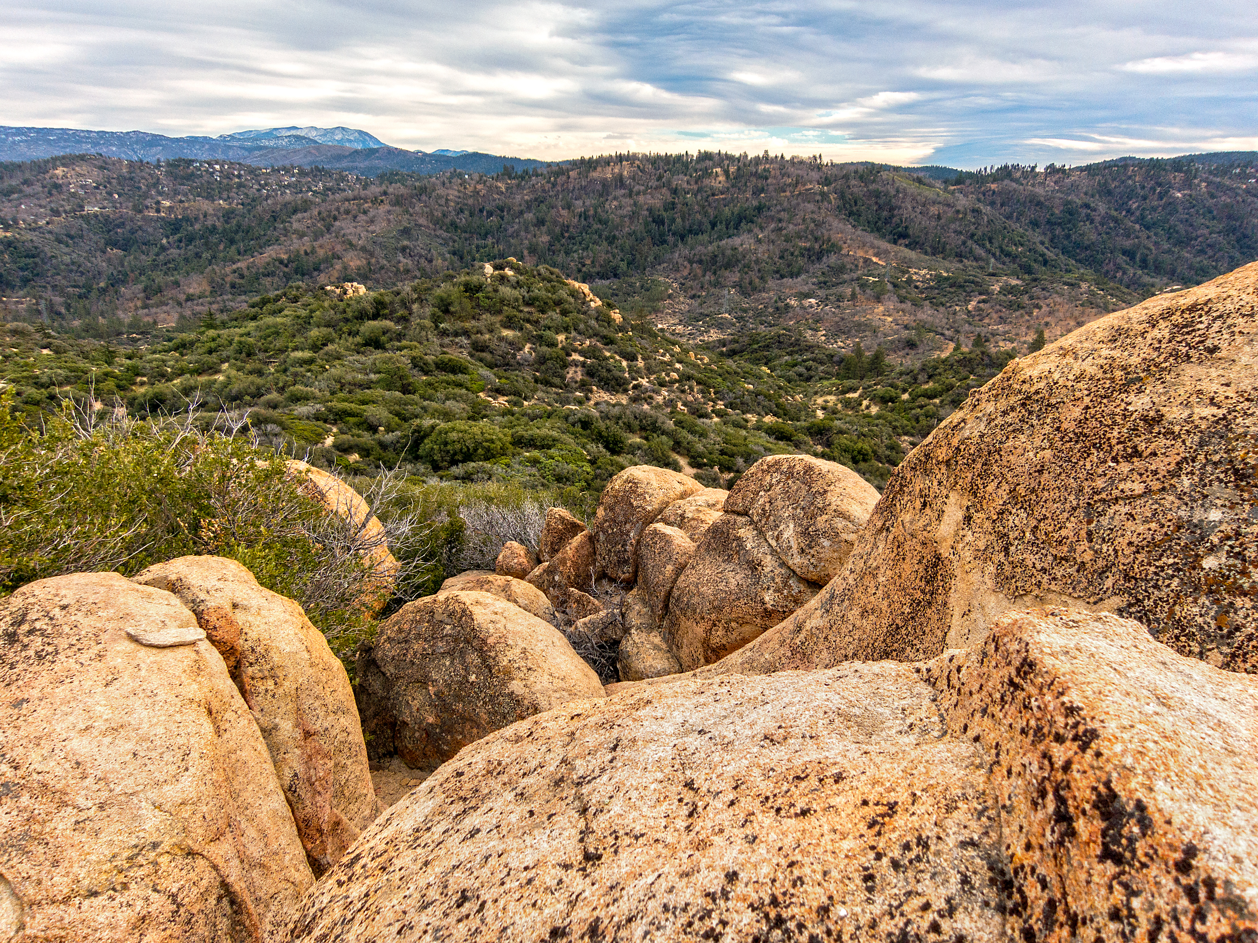
Crumbled Landscape
Mountain View Avenue (1932)

Turn of the Seasons

A Mixture of Fog and Clouds

Above the Clouds

Thanksgiving Sunset HDR

View from a chairlift
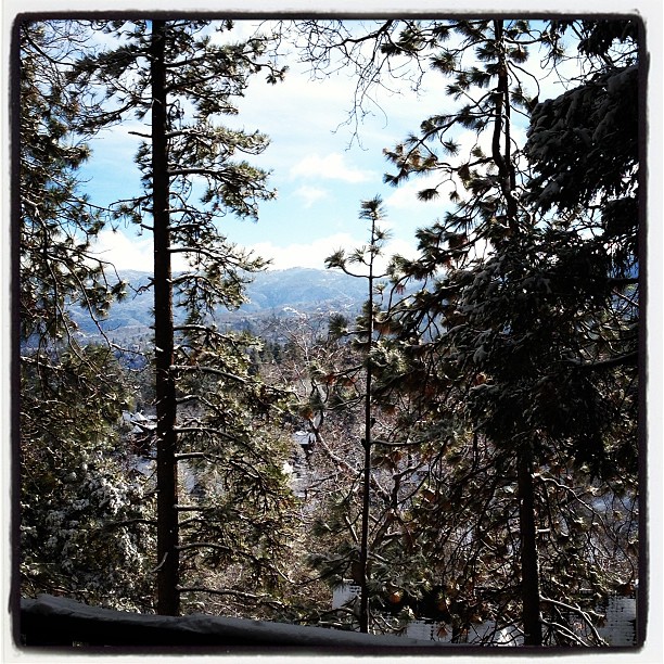
Morning #view #snow
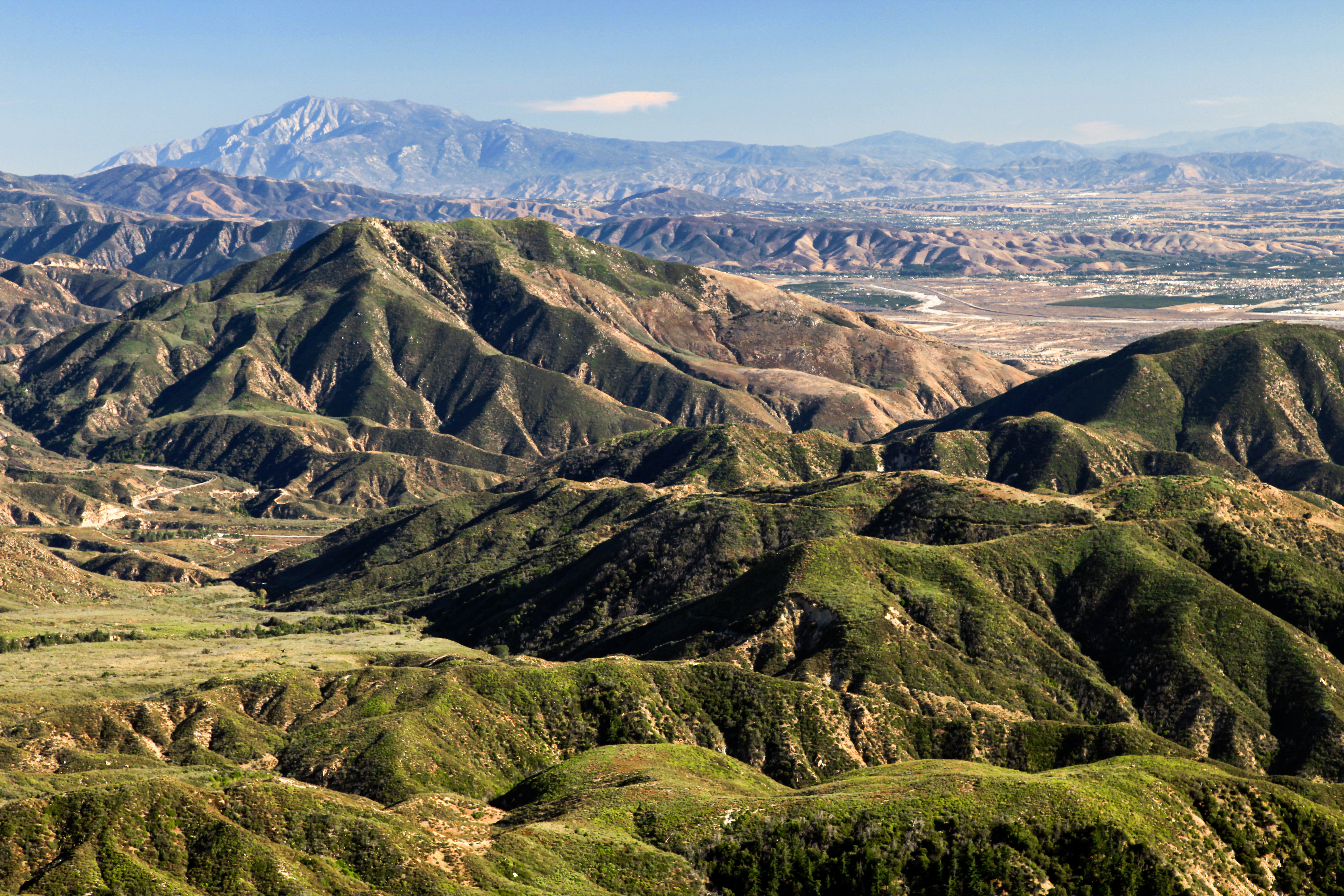
View South from Point 4948
Green Topographic

AXA_3660Style creek San Bernardino ca(Steller Jay)
View from the ladder
The Distant Pacific

San Bernardino city and National Forest
Deserted highway
Canyon Reflections - Deep Creek, California
Fading Storm, San Bernardino Mountains [Explored]

#GreenValleyLake

Above it all

110-365 Fishing Reconnaissance
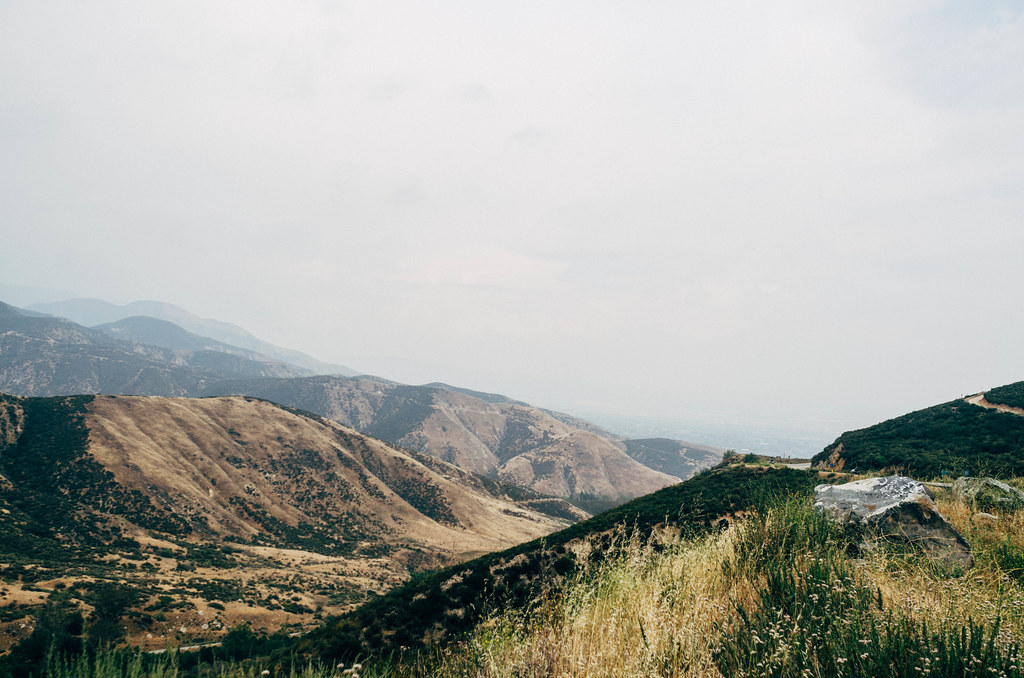
On the Rim of the World

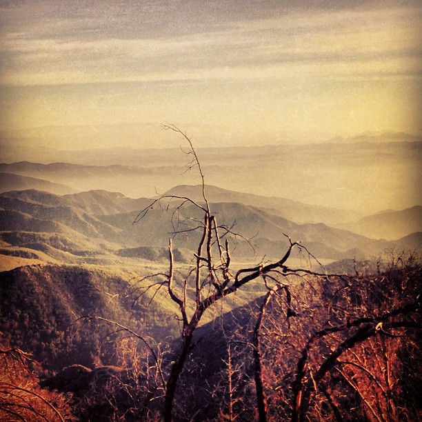
Dead But Still Living
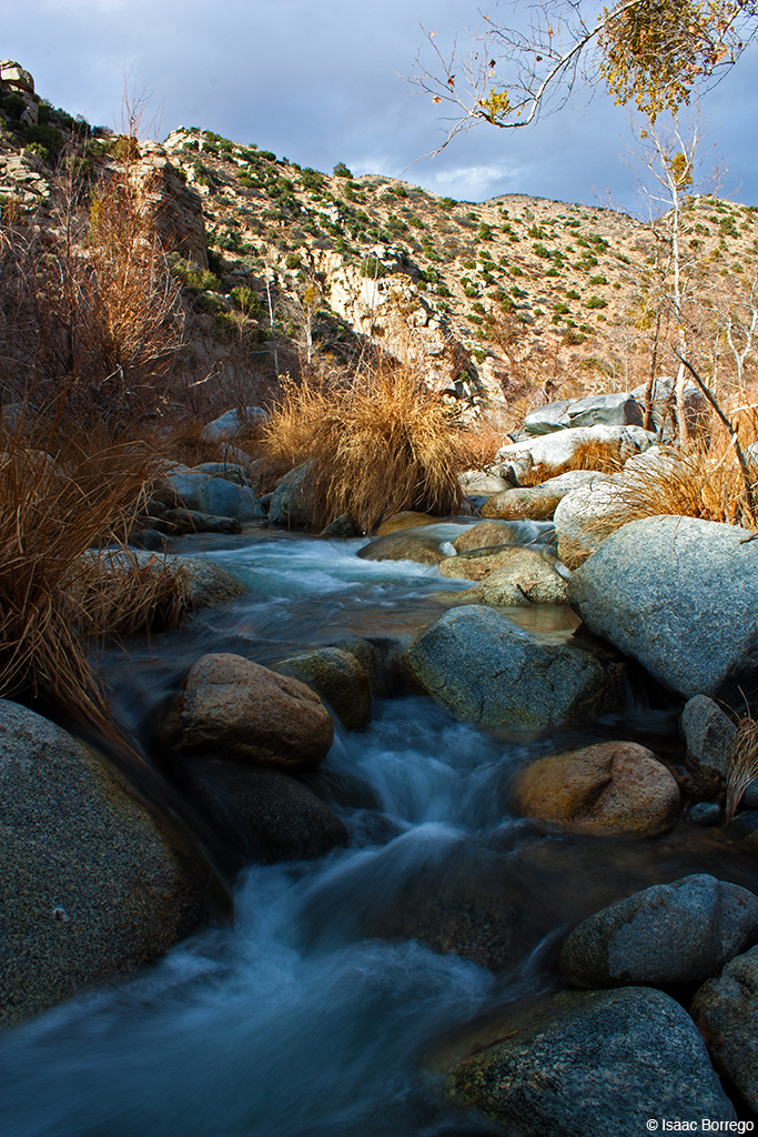
Deep Creek, California
2074 Vista
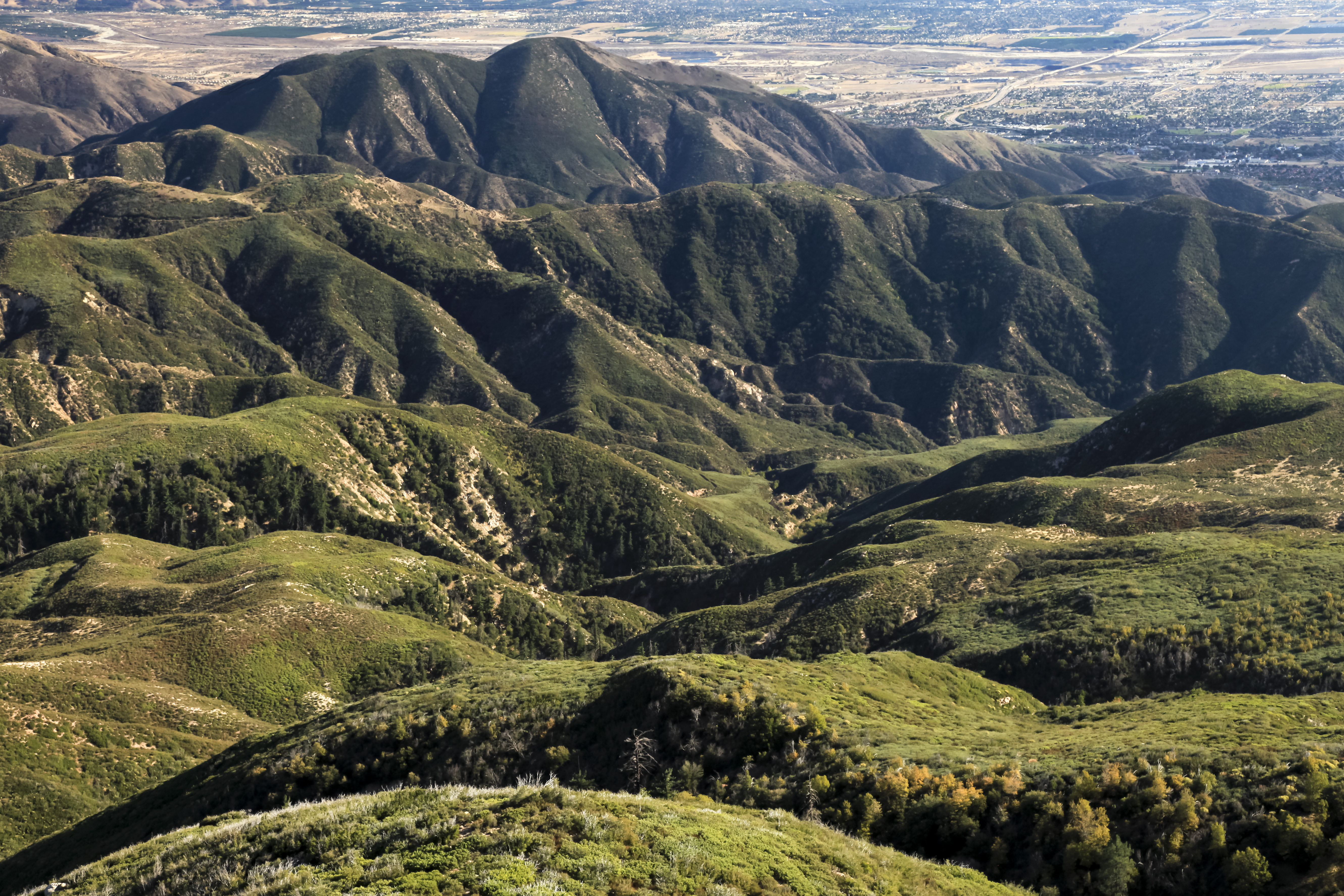
San Bernardino National Forest, California
"Just #go." #saturday #goodmorning #runningsprings

Snow at Lake Silverwood

#sanbernardinomountains #mountains #runningsprings #hwy18

Blue lake. #LakeArrowhead
dark city
Topographic Map of Lake Arrowhead, CA, USA
Find elevation by address:

Places in Lake Arrowhead, CA, USA:
Cedar Glen
Crest Park
Pintail Cir, Lake Arrowhead, CA, USA
Willow Creek Jeep Trail
Klamath Drive
Grass Valley Alley
Matterhorn Drive
Wabash Drive
Castle Gate Road
Shady Road
Poe Court
Mittry Drive
Places near Lake Arrowhead, CA, USA:
Mittry Drive
Lake Arrowhead Village
235 Burnt Mill Rd
365 Terrace Rd
257 Burnt Mill Rd
Shady Road
Castle Gate Road
707 Virginia Ct
785 Buckingham Square
785 Buckingham Square
Wabash Drive
Klamath Drive
775 Arrowhead Villa Rd
Poe Court
774 Lake Dr
881 Arrowhead Villa Rd
810 Oakmont Ln
28344 Altamont Ct
Skyforest
Crest Park
Recent Searches:
- Elevation of Corso Fratelli Cairoli, 35, Macerata MC, Italy
- Elevation of Tallevast Rd, Sarasota, FL, USA
- Elevation of 4th St E, Sonoma, CA, USA
- Elevation of Black Hollow Rd, Pennsdale, PA, USA
- Elevation of Oakland Ave, Williamsport, PA, USA
- Elevation of Pedrógão Grande, Portugal
- Elevation of Klee Dr, Martinsburg, WV, USA
- Elevation of Via Roma, Pieranica CR, Italy
- Elevation of Tavkvetili Mountain, Georgia
- Elevation of Hartfords Bluff Cir, Mt Pleasant, SC, USA