Elevation of Arrowhead Villa Rd, Lake Arrowhead, CA, USA
Location: United States > California > San Bernardino County > Arrowhead Farms >
Longitude: -117.18783
Latitude: 34.2372289
Elevation: 1709m / 5607feet
Barometric Pressure: 82KPa
Elevation Map:
Satellite Map:
Related Photos:

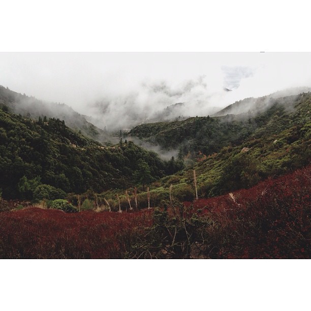
Islands in the Mist

prcssd. combat camera. san bernardino, ca. 2011.
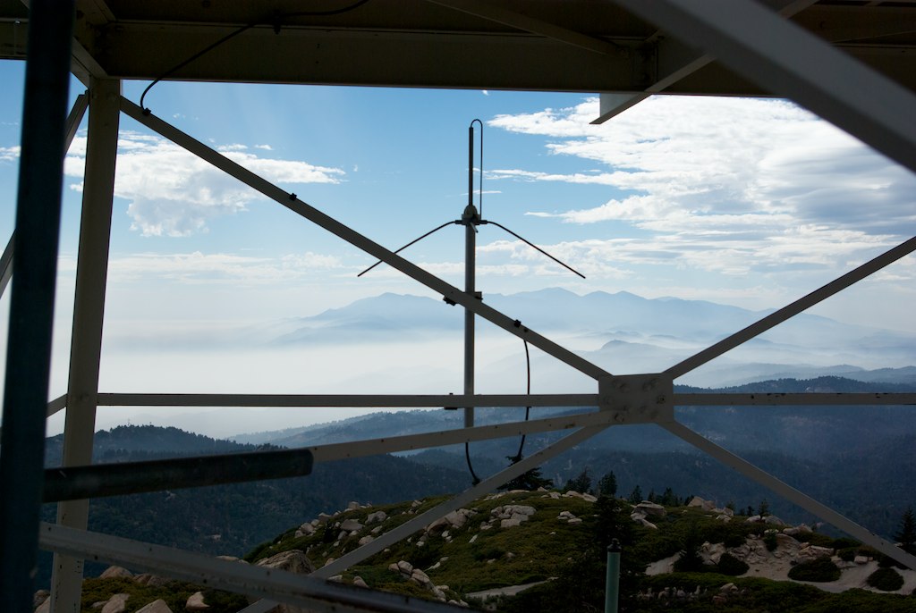
San Bernardino NF skywalk (1377a)
Last Light, Lake Arrowhead

What A Blast!
The White House (of San Bernardino)

San Bernardino City Unified School District

A Mixture of Fog and Clouds

Santa Ana River Valley

Overlooking the Inland Empire

South from Marie Louise

May your day be blessed and full of strippers and burritos or pizza Birds ???? eye ???? view #330

View from a chairlift

The Inland Empire Lights

Above the Clouds
View From Work

The IE from the Mountains Above

Blue-throated Hummingbird
View from the ladder
village cove homes
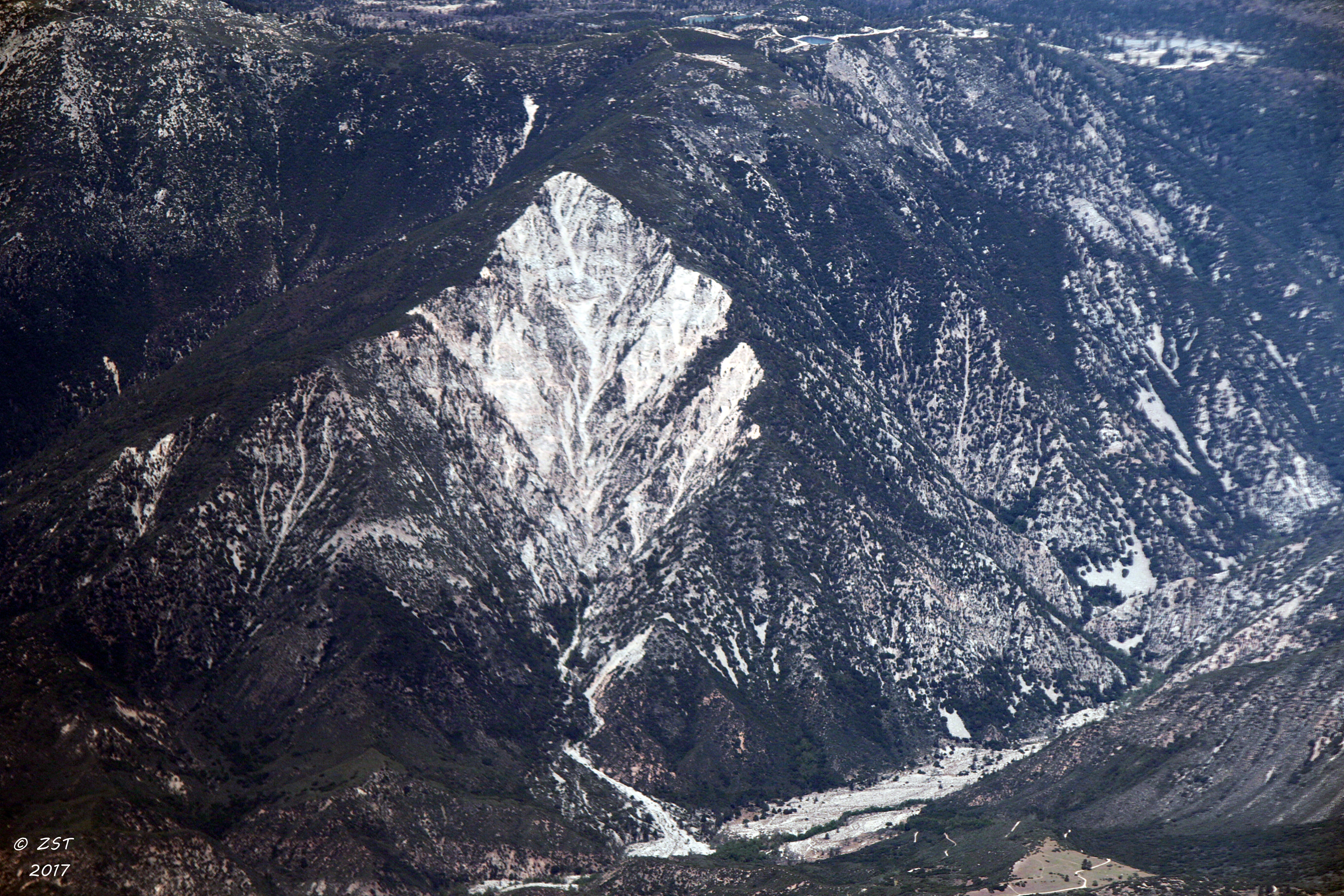
Erosion Scar [EXPLORED 5/26/17 - highest position #327]

Orange Saddleback

110-365 Fishing Reconnaissance
#bigbear #bigbearlake #sanbernardino #sanbernardinonationalforest

#sanbernardinomountains #mountains #runningsprings #hwy18

Rim of the World Highway

Desert Drive

Sunset at Rim of the World
Fire on the Water

Above it all
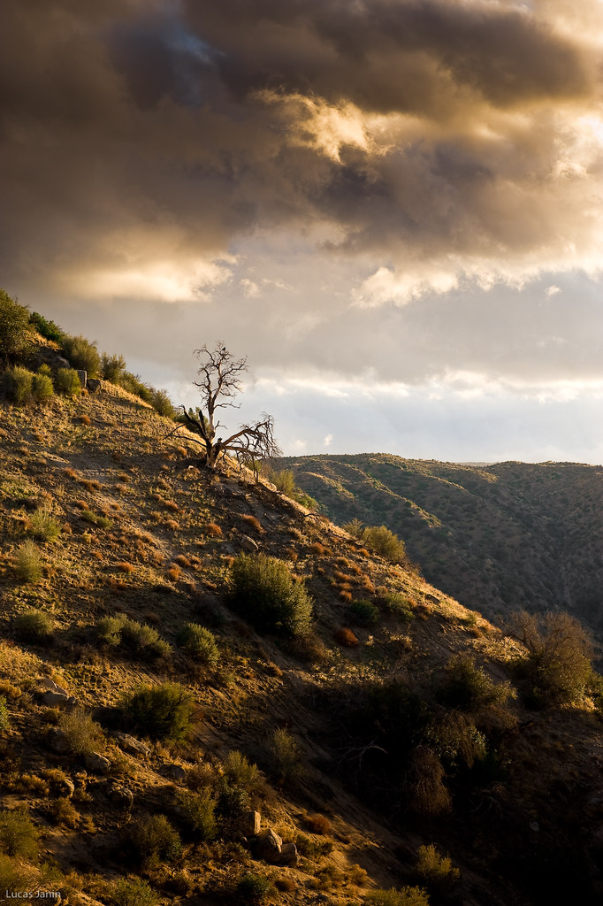
The dead tree
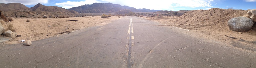
Deserted highway
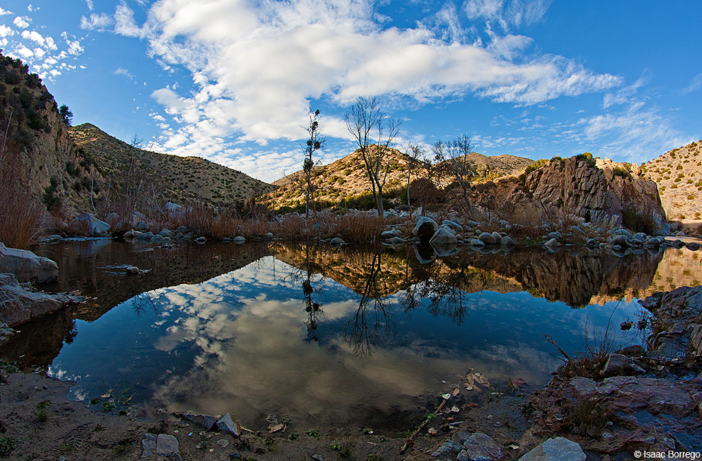
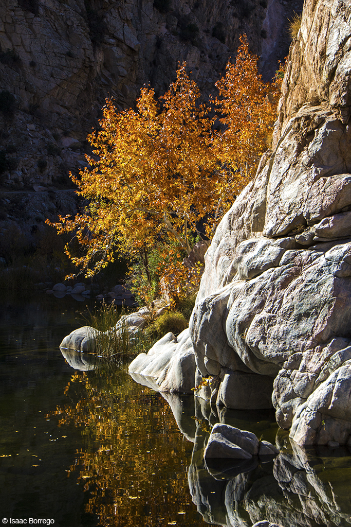
Canyon Reflections - Deep Creek, California

All that Remains [Explored]
3.12.11 - Big Bear
IMG_2659.jpg
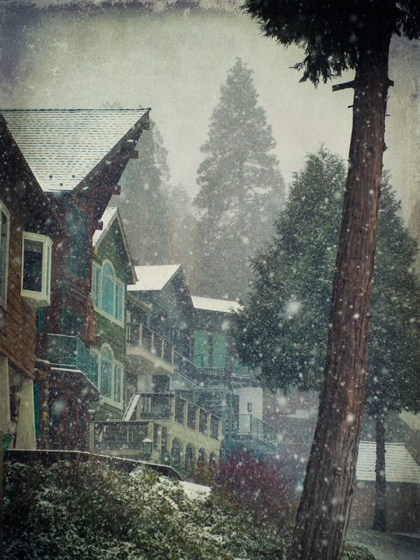
Autumn in Lake Arrowhead
Pine Falls
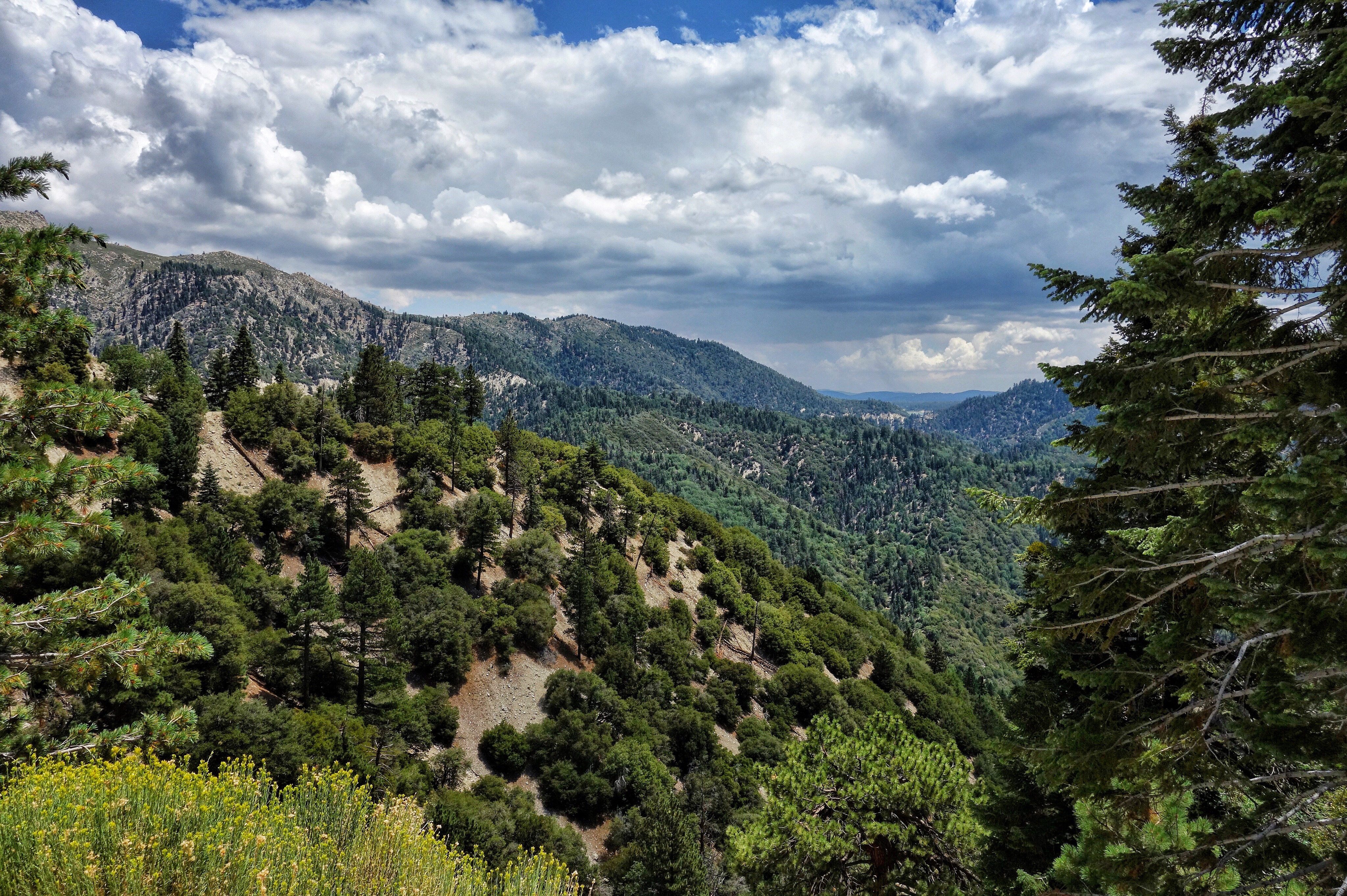
San Bernardino National Forest, California
Topographic Map of Arrowhead Villa Rd, Lake Arrowhead, CA, USA
Find elevation by address:

Places near Arrowhead Villa Rd, Lake Arrowhead, CA, USA:
Poe Court
785 Buckingham Square
785 Buckingham Square
28344 Altamont Ct
775 Arrowhead Villa Rd
707 Virginia Ct
774 Lake Dr
810 Oakmont Ln
Skyforest
Crest Park
CA-18, Skyforest, CA, USA
Mittry Drive
Wabash Drive
Lake Arrowhead
Klamath Drive
Shady Road
365 Terrace Rd
Castle Gate Road
Weirwood Dr, Crest Park, CA, USA
235 Burnt Mill Rd
Recent Searches:
- Elevation of Unnamed Road, Respublika Severnaya Osetiya — Alaniya, Russia
- Elevation of Verkhny Fiagdon, North Ossetia–Alania Republic, Russia
- Elevation of F. Viola Hiway, San Rafael, Bulacan, Philippines
- Elevation of Herbage Dr, Gulfport, MS, USA
- Elevation of Lilac Cir, Haldimand, ON N3W 2G9, Canada
- Elevation of Harrod Branch Road, Harrod Branch Rd, Kentucky, USA
- Elevation of Wyndham Grand Barbados Sam Lords Castle All Inclusive Resort, End of Belair Road, Long Bay, Bridgetown Barbados
- Elevation of Iga Trl, Maggie Valley, NC, USA
- Elevation of N Co Rd 31D, Loveland, CO, USA
- Elevation of Lindever Ln, Palmetto, FL, USA