Elevation of Virginia Ct, Lake Arrowhead, CA, USA
Location: United States > California > San Bernardino County > Lake Arrowhead >
Longitude: -117.18676
Latitude: 34.240553
Elevation: 1702m / 5584feet
Barometric Pressure: 82KPa
Elevation Map:
Satellite Map:
Related Photos:

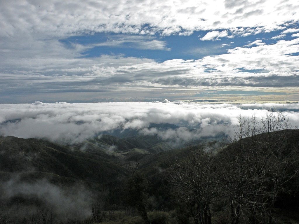
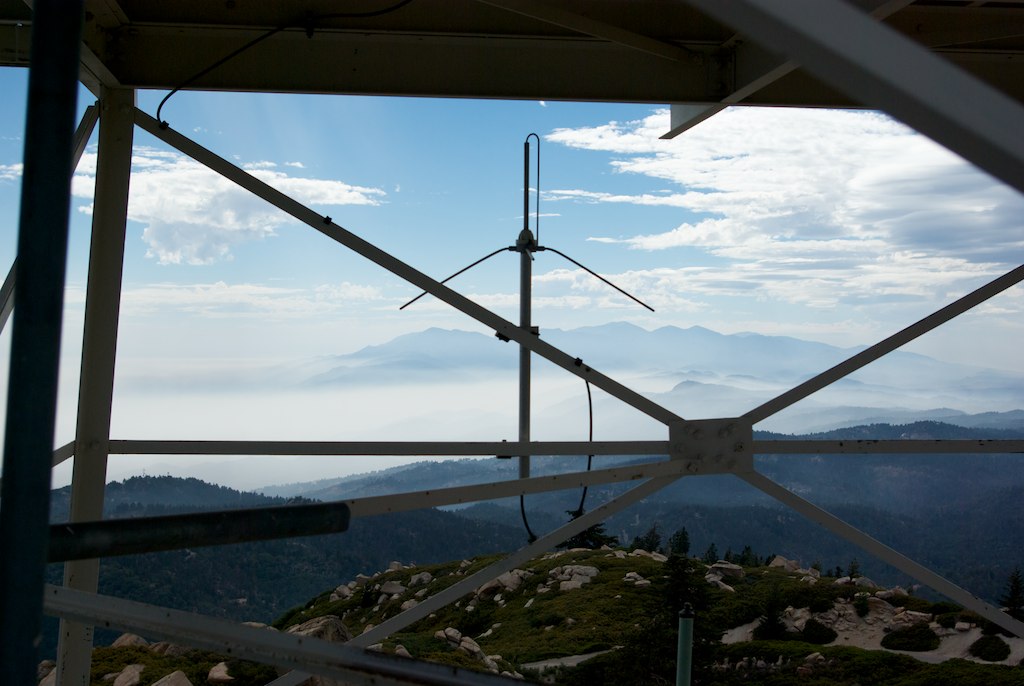
Islands in the Mist

May your day be blessed and full of strippers and burritos or pizza Birds ???? eye ???? view #330
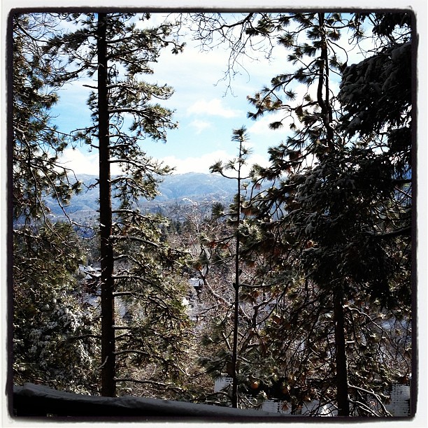
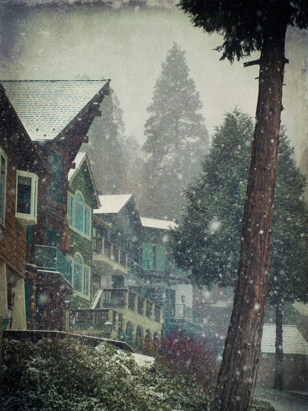
Morning #view #snow
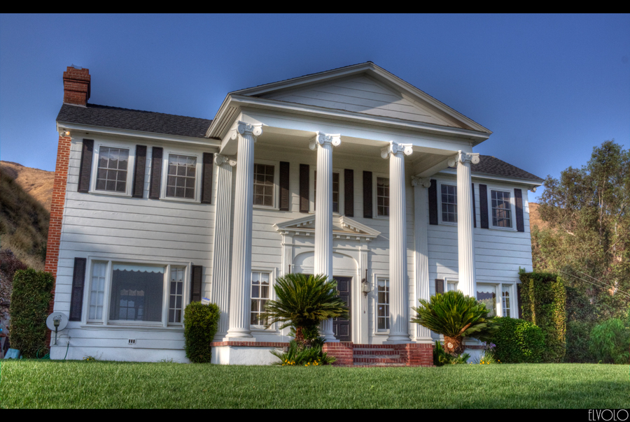
The White House (of San Bernardino)

Blue-throated Hummingbird

San Bernardino City Unified School District

Turn of the Seasons

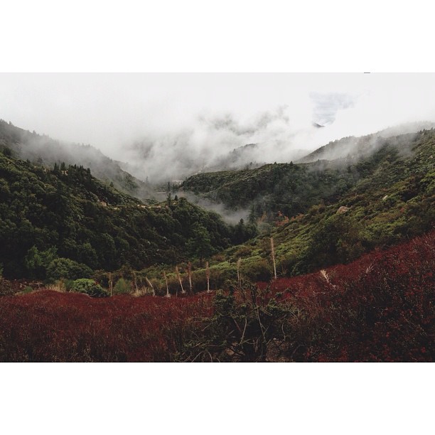
A Mixture of Fog and Clouds

prcssd. combat camera. san bernardino, ca. 2011.

Santa Ana River Valley

South from Marie Louise

Overlooking the Inland Empire

View from a chairlift

The Inland Empire Lights

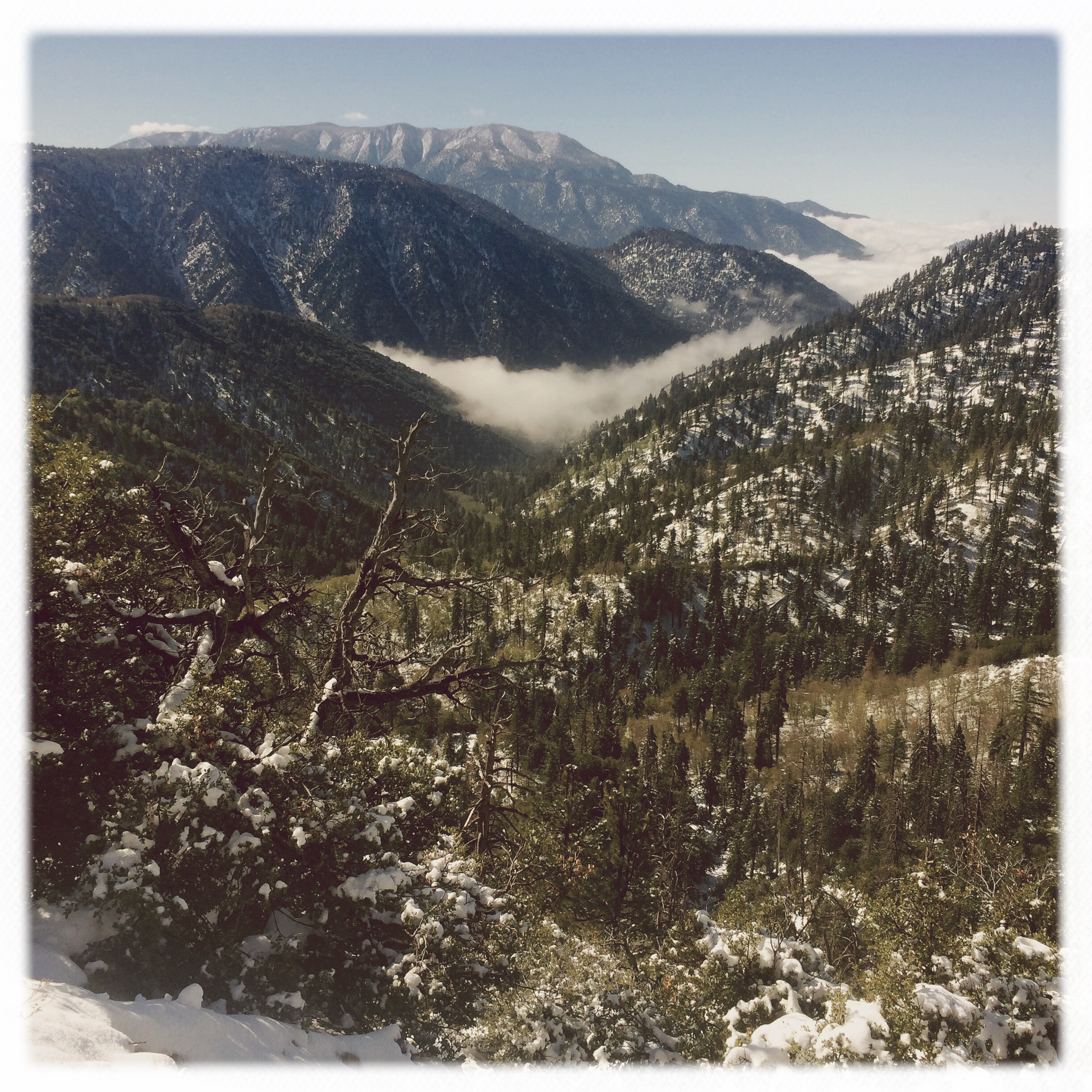
Above the Clouds

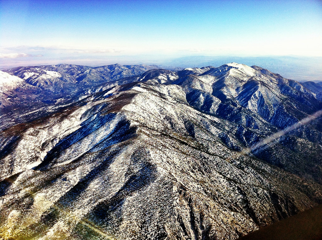
The IE from the Mountains Above
View From Work
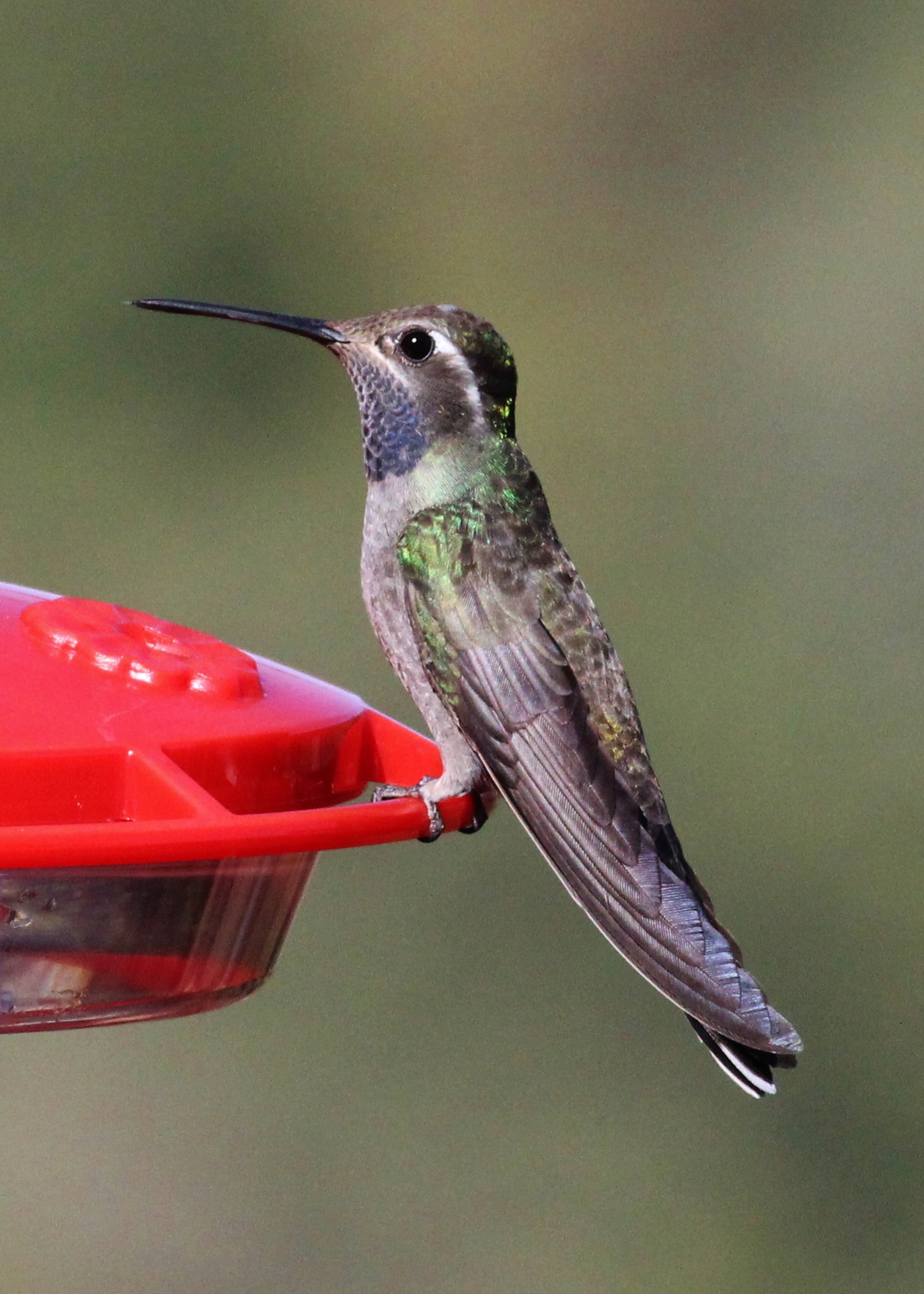
Blue-throated Hummingbird
View from the ladder
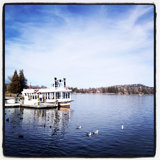
Arrowhead lake
village cove homes
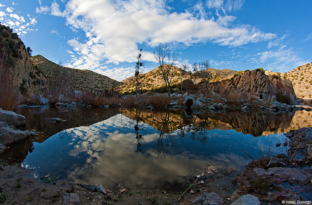
Canyon Reflections - Deep Creek, California
3.12.11 - Big Bear
#bigbear #bigbearlake #sanbernardino #sanbernardinonationalforest
Ducks!

#sanbernardinomountains #mountains #runningsprings #hwy18

Rim of the World Highway

Sunset at Rim of the World

Above it all
Fire on the Water

110-365 Fishing Reconnaissance
IMG_2659.jpg
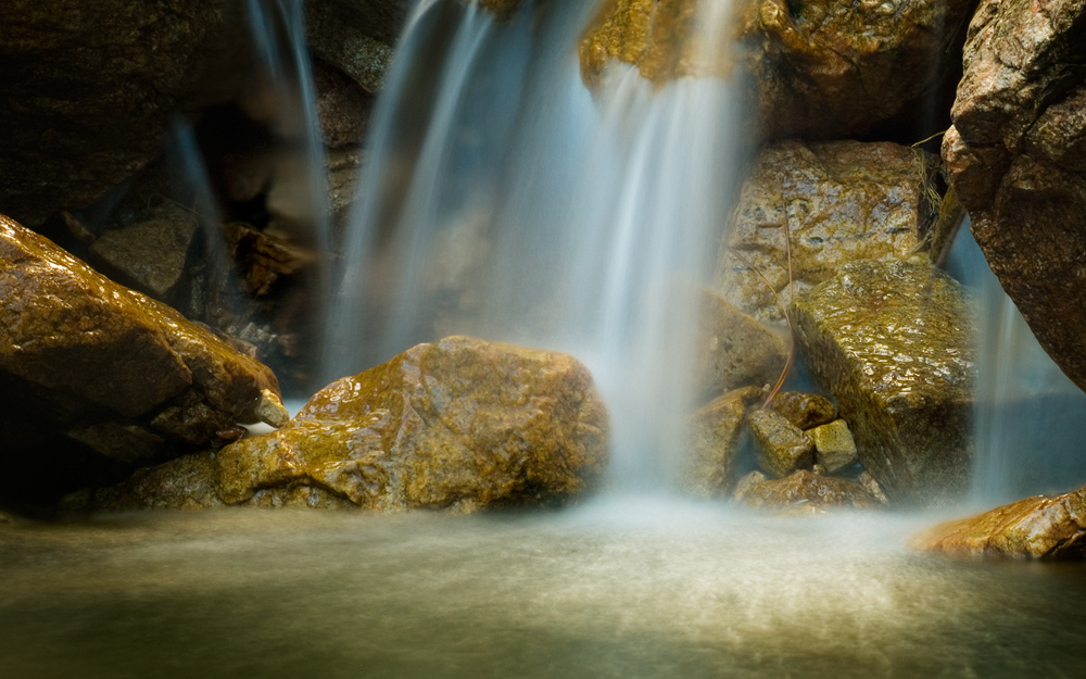
Pine Falls
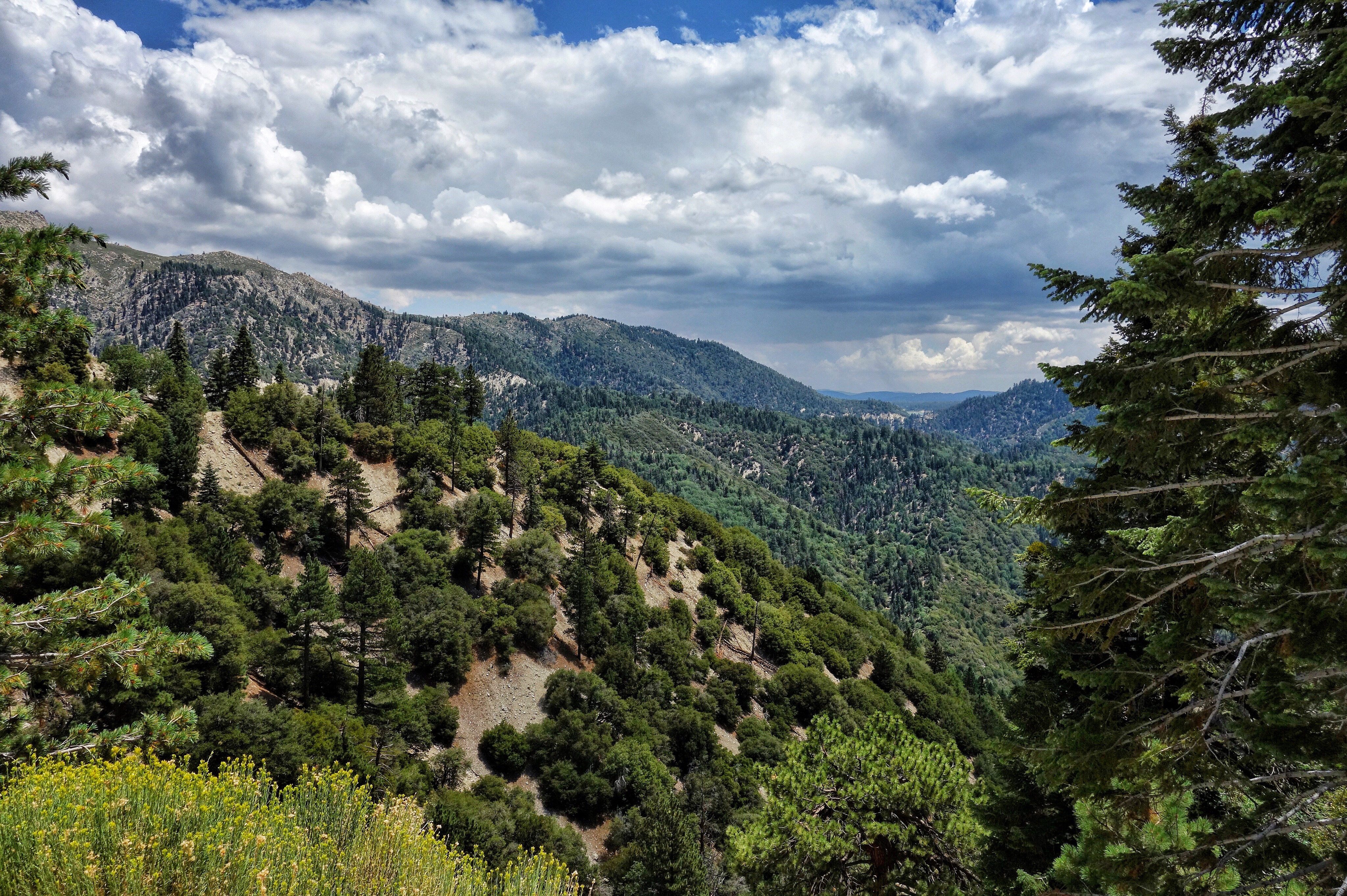
San Bernardino National Forest, California
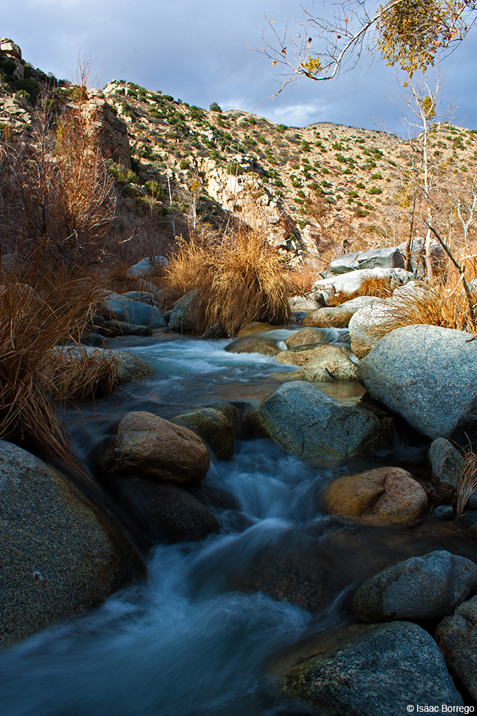
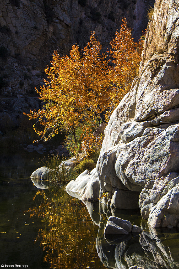
Deep Creek, California
Orange Saddleback
2017-11-05 11.59.22
The dead tree
Topographic Map of Virginia Ct, Lake Arrowhead, CA, USA
Find elevation by address:

Places near Virginia Ct, Lake Arrowhead, CA, USA:
775 Arrowhead Villa Rd
774 Lake Dr
785 Buckingham Square
785 Buckingham Square
881 Arrowhead Villa Rd
28344 Altamont Ct
Poe Court
810 Oakmont Ln
Mittry Drive
Wabash Drive
Lake Arrowhead
Klamath Drive
Skyforest
CA-18, Skyforest, CA, USA
Shady Road
Lake Arrowhead Village
365 Terrace Rd
235 Burnt Mill Rd
Crest Park
Castle Gate Road
Recent Searches:
- Elevation of Elwyn Dr, Roanoke Rapids, NC, USA
- Elevation of Congressional Dr, Stevensville, MD, USA
- Elevation of Bellview Rd, McLean, VA, USA
- Elevation of Stage Island Rd, Chatham, MA, USA
- Elevation of Shibuya Scramble Crossing, 21 Udagawacho, Shibuya City, Tokyo -, Japan
- Elevation of Jadagoniai, Kaunas District Municipality, Lithuania
- Elevation of Pagonija rock, Kranto 7-oji g. 8"N, Kaunas, Lithuania
- Elevation of Co Rd 87, Jamestown, CO, USA
- Elevation of Tenjo, Cundinamarca, Colombia
- Elevation of Côte-des-Neiges, Montreal, QC H4A 3J6, Canada