Elevation of Oakmont Ln, San Bernardino, CA, USA
Location: United States > California > San Bernardino County > Arrowhead Farms >
Longitude: -117.18269
Latitude: 34.2385057
Elevation: 1751m / 5745feet
Barometric Pressure: 82KPa
Elevation Map:
Satellite Map:
Related Photos:

Islands in the Mist
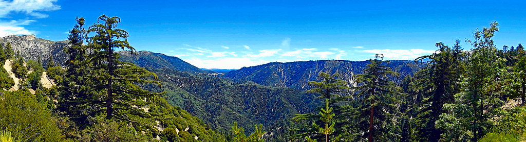
Lake View Point, SBNF

What A Blast!

Erosion Scar [EXPLORED 5/26/17 - highest position #327]

Turn of the Seasons

A Mixture of Fog and Clouds

View from a chairlift
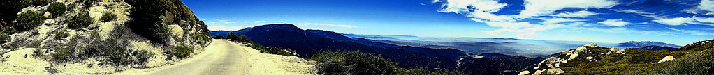
Keller Peak Road and View, SBNF
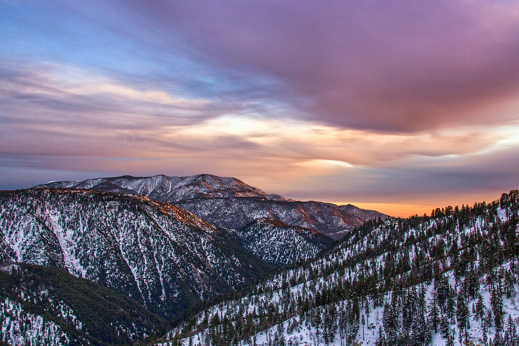
Winter Sky, San Bernardino Mountains [Explored]
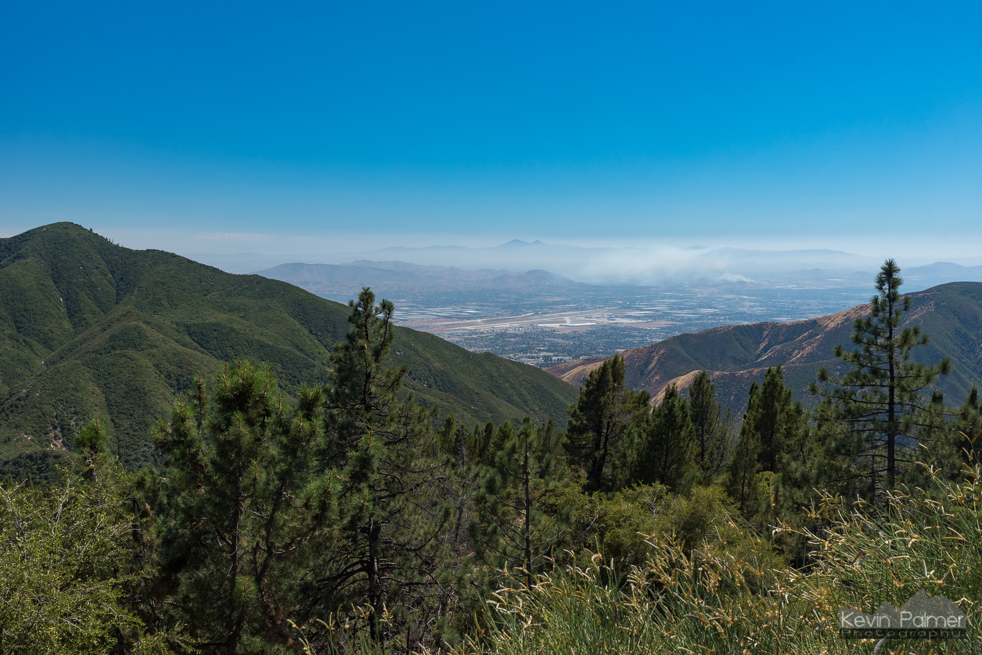
View From Running Springs

Mountain Serenity

prcssd. combat camera. san bernardino, ca. 2011.

San Bernardino Valley

Above the Clouds

7 Oaks Dam

Sunset, Bowen Ranch

Mountain-Woman

A Beautiful View With A Beautiful Girl

Santa Ana River Valley
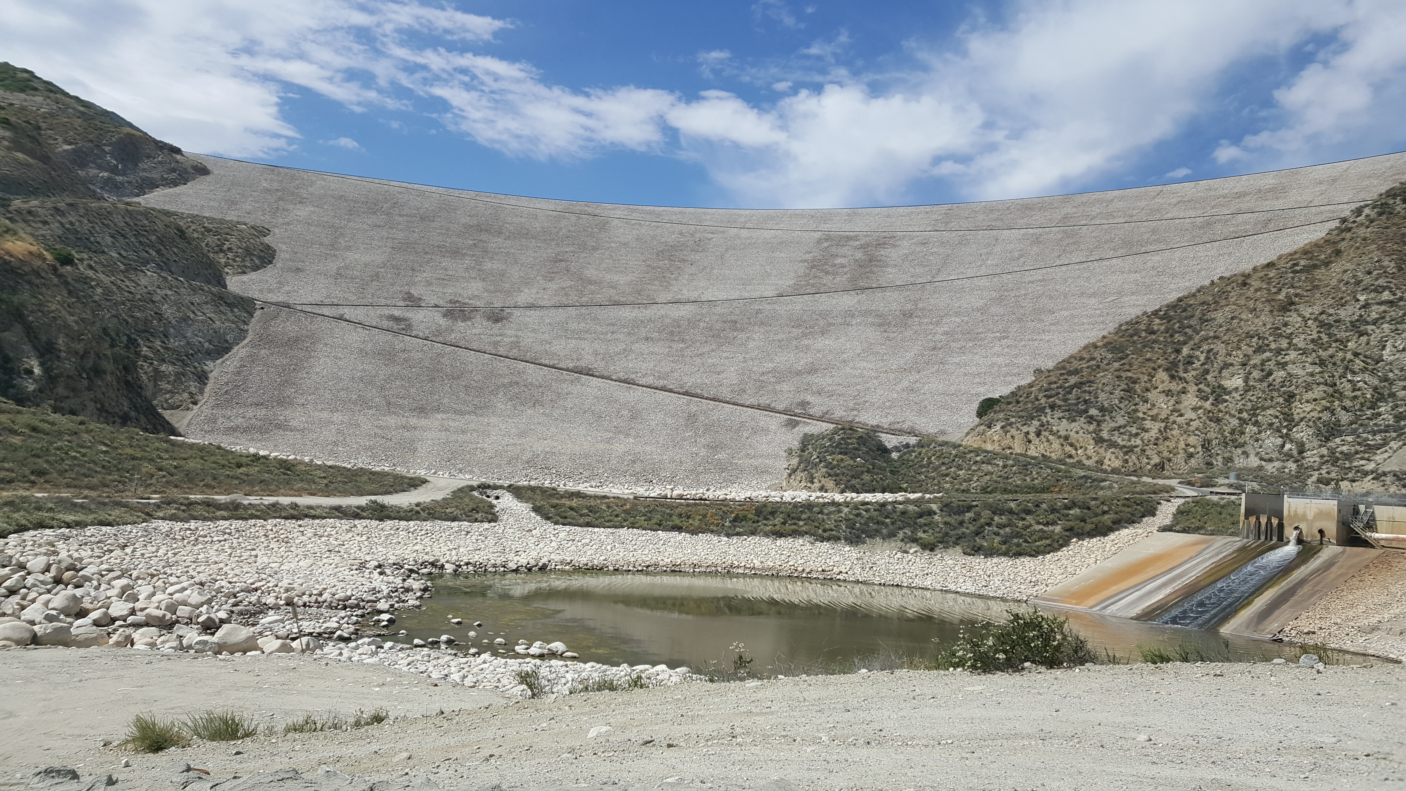
Seven Oaks Dam

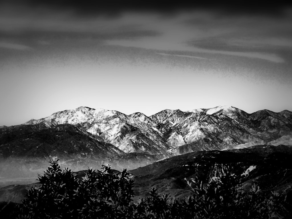
San Bernardino Mountains

Top of the World Highway, California
San Gabriels from Keller Peak, SBNF
Beauty from Ashes

Lake Gregory Reflections

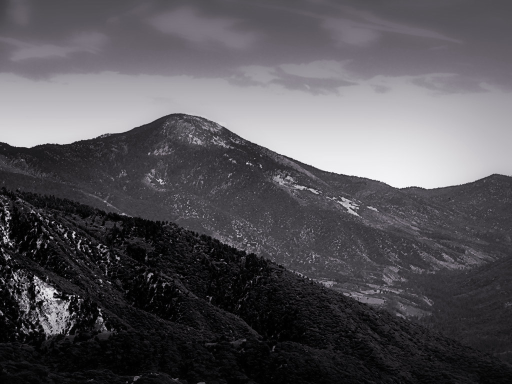
Mount San Bernardino, SBNF

110-365 Fishing Reconnaissance

Silverwood Lake

Santa Ana River Canyon, SBNF

Deserted highway
San Gorgonio, SBNF (toned)

Alpine Rockpile and Mountains, SBNF

Lake Arrowhead Village, CA 7-15-17

San Bernardino National Forest, California
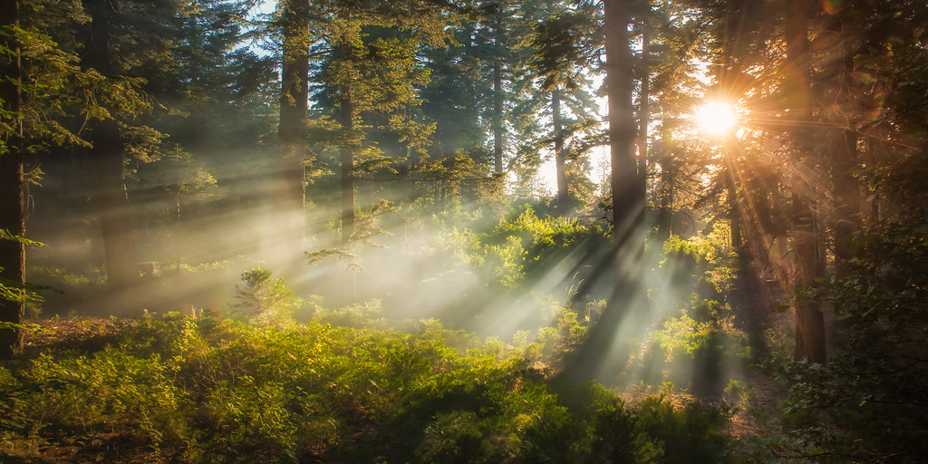
Morning Creek

Sunset over Lake Arrowhead

Keller peak

Fall is here and I am now finally seeing the leaves turn in Southern California. I wish it could ne more like the east coast, but I've been told by other travelers to head north of California to see more leaves turn. #outside #outdoors #landscape #nature
Topographic Map of Oakmont Ln, San Bernardino, CA, USA
Find elevation by address:

Places near Oakmont Ln, San Bernardino, CA, USA:
774 Lake Dr
775 Arrowhead Villa Rd
28344 Altamont Ct
Skyforest
707 Virginia Ct
881 Arrowhead Villa Rd
CA-18, Skyforest, CA, USA
Wabash Drive
785 Buckingham Square
785 Buckingham Square
Poe Court
Klamath Drive
Mittry Drive
Lake Arrowhead
28913 Mohawk Dr
Lake Arrowhead Village
Crest Park
Shady Road
365 Terrace Rd
235 Burnt Mill Rd
Recent Searches:
- Elevation of Congressional Dr, Stevensville, MD, USA
- Elevation of Bellview Rd, McLean, VA, USA
- Elevation of Stage Island Rd, Chatham, MA, USA
- Elevation of Shibuya Scramble Crossing, 21 Udagawacho, Shibuya City, Tokyo -, Japan
- Elevation of Jadagoniai, Kaunas District Municipality, Lithuania
- Elevation of Pagonija rock, Kranto 7-oji g. 8"N, Kaunas, Lithuania
- Elevation of Co Rd 87, Jamestown, CO, USA
- Elevation of Tenjo, Cundinamarca, Colombia
- Elevation of Côte-des-Neiges, Montreal, QC H4A 3J6, Canada
- Elevation of Bobcat Dr, Helena, MT, USA