Elevation of Burnt Mill Rd, Lake Arrowhead, CA, USA
Location: United States > California > San Bernardino County > Lake Arrowhead >
Longitude: -117.19481
Latitude: 34.2490026
Elevation: 1599m / 5246feet
Barometric Pressure: 84KPa
Elevation Map:
Satellite Map:
Related Photos:

prcssd. combat camera. san bernardino, ca. 2011.

Blue-throated Hummingbird
Nighttime over the Inland Empire
House Fire
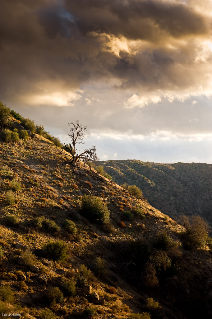
Last Light, Lake Arrowhead

Blue-throated Hummingbird

Blue-throated Hummingbird

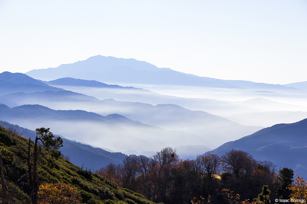
Islands in the Mist
After the Storm, Ord Mountains [Explored]

Overlooking the Inland Empire

Thanksgiving Sunset HDR

South from Marie Louise
View South from Point 4948
Green Topographic

May your day be blessed and full of strippers and burritos or pizza Birds ???? eye ???? view #330

View from a chairlift
View From Work

Above the Clouds

The IE from the Mountains Above
California Views
View from the ladder
Fading Storm, San Bernardino Mountains [Explored]
Waterfall of Light

#sanbernardinomountains #mountains #runningsprings #hwy18

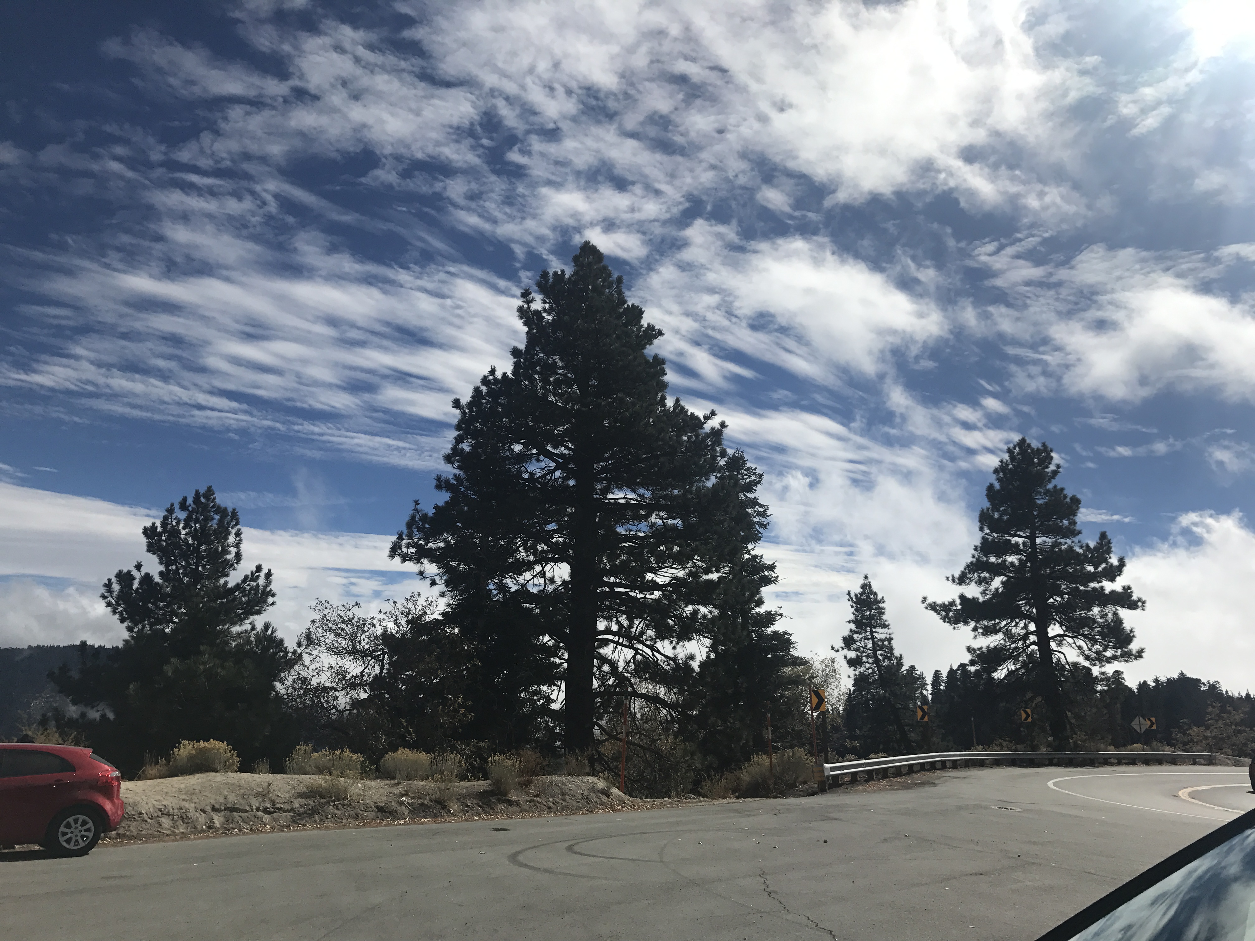
Rim of the World Highway

Mountain Creek

Sunset at Rim of the World
Fire on the Water

Above it all
Dead or Alive ?

Orange Saddleback
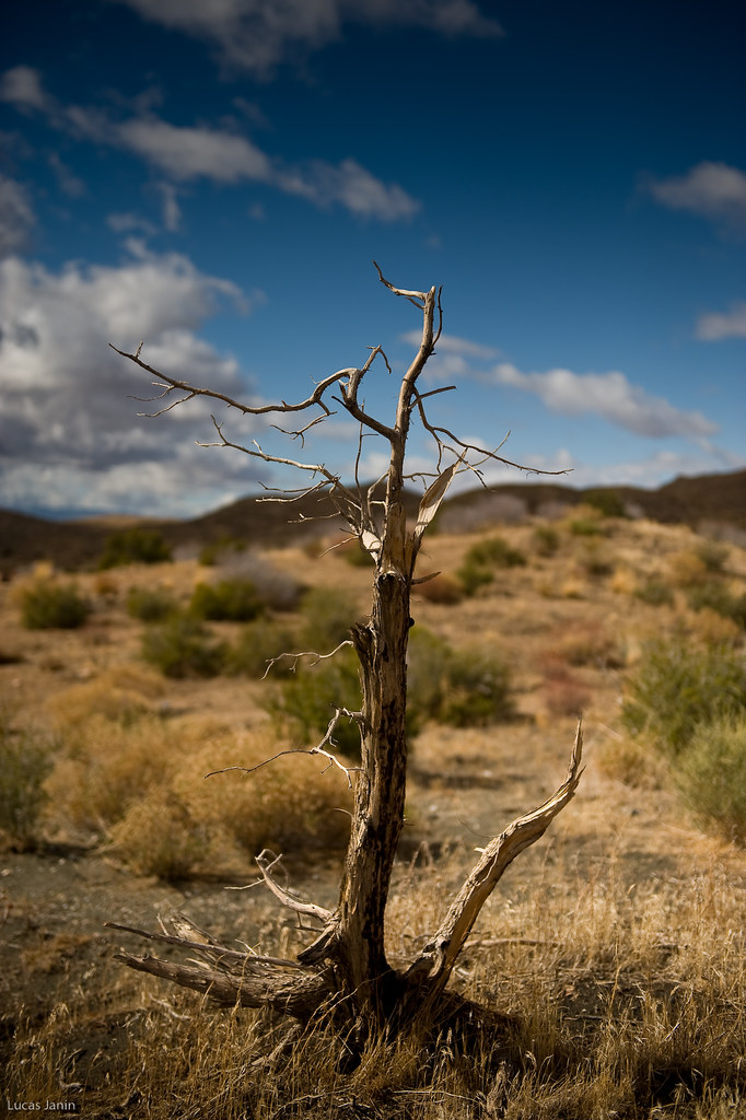
The dead tree
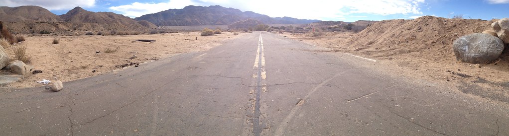
Deserted highway
I never thought I would outlive the trees
On the Rim of the World
2017-11-05 12.01.29
Topographic Map of Burnt Mill Rd, Lake Arrowhead, CA, USA
Find elevation by address:

Places near Burnt Mill Rd, Lake Arrowhead, CA, USA:
257 Burnt Mill Rd
Castle Gate Road
365 Terrace Rd
Shady Road
Lake Arrowhead
Lake Arrowhead Village
Mittry Drive
785 Buckingham Square
785 Buckingham Square
707 Virginia Ct
Poe Court
881 Arrowhead Villa Rd
775 Arrowhead Villa Rd
774 Lake Dr
Crest Park
Wabash Drive
Klamath Drive
28344 Altamont Ct
Weirwood Dr, Crest Park, CA, USA
810 Oakmont Ln
Recent Searches:
- Elevation of Warwick, RI, USA
- Elevation of Fern Rd, Whitmore, CA, USA
- Elevation of 62 Abbey St, Marshfield, MA, USA
- Elevation of Fernwood, Bradenton, FL, USA
- Elevation of Felindre, Swansea SA5 7LU, UK
- Elevation of Leyte Industrial Development Estate, Isabel, Leyte, Philippines
- Elevation of W Granada St, Tampa, FL, USA
- Elevation of Pykes Down, Ivybridge PL21 0BY, UK
- Elevation of Jalan Senandin, Lutong, Miri, Sarawak, Malaysia
- Elevation of Bilohirs'k