Elevation of Klamath Drive, Klamath Dr, Lake Arrowhead, CA, USA
Location: United States > California > San Bernardino County > Lake Arrowhead >
Longitude: -117.17982
Latitude: 34.2456084
Elevation: 1659m / 5443feet
Barometric Pressure: 83KPa
Elevation Map:
Satellite Map:
Related Photos:

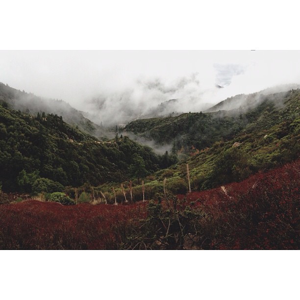
Islands in the Mist
View South from Point 4948

South from Marie Louise
Blue-throated Hummingbird
View from the ladder
Erosion Scar [EXPLORED 5/26/17 - highest position #327]
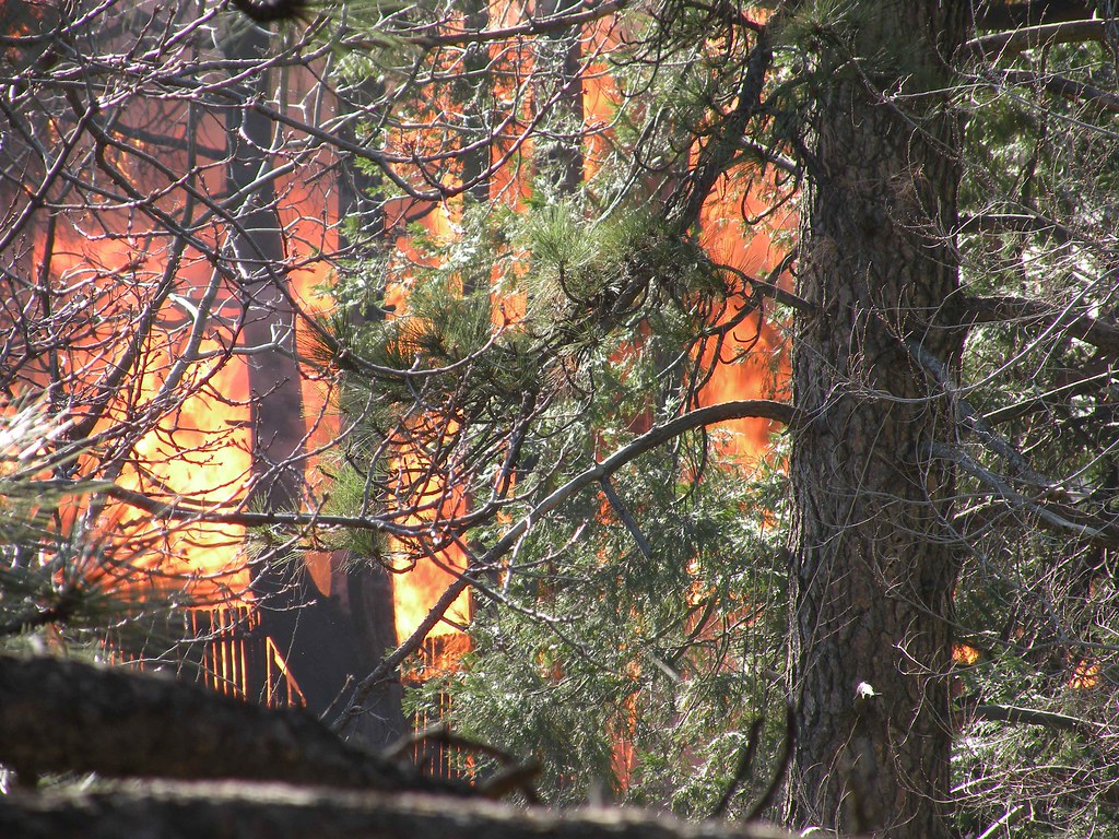
House Fire
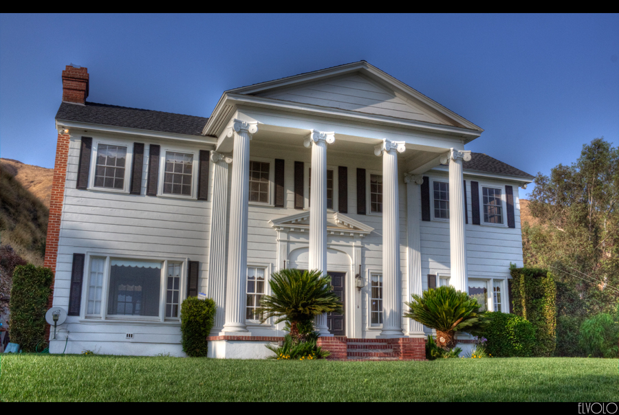
The White House (of San Bernardino)
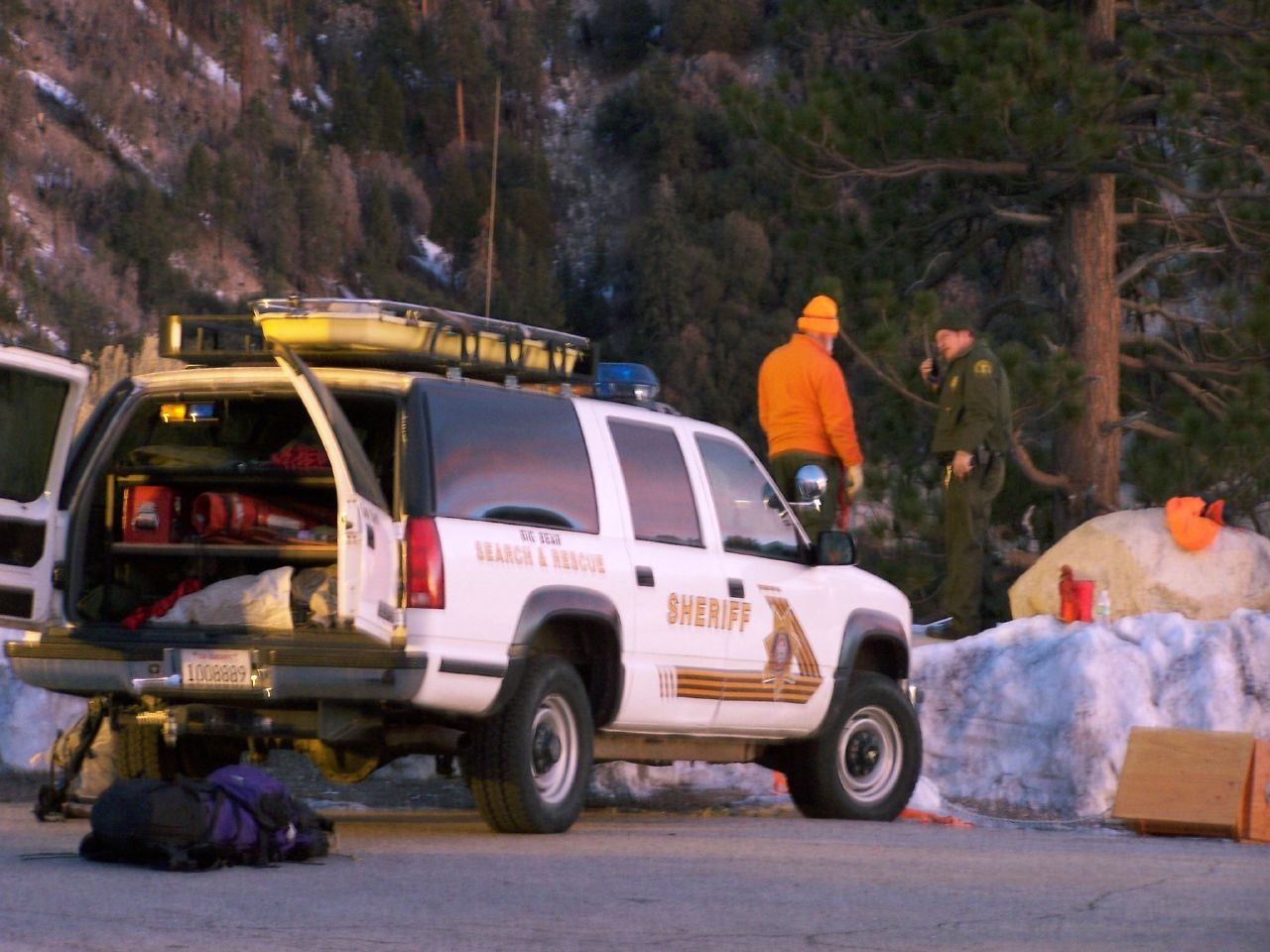
San Bernardino Sheriff, SBSD SAR Big Bear

What A Blast!
Mill Peak View
Rim of the World Highway - San Bernardino County, California U.S.A. (2/2)

Blue-throated Hummingbird
Keller Peak Panorama

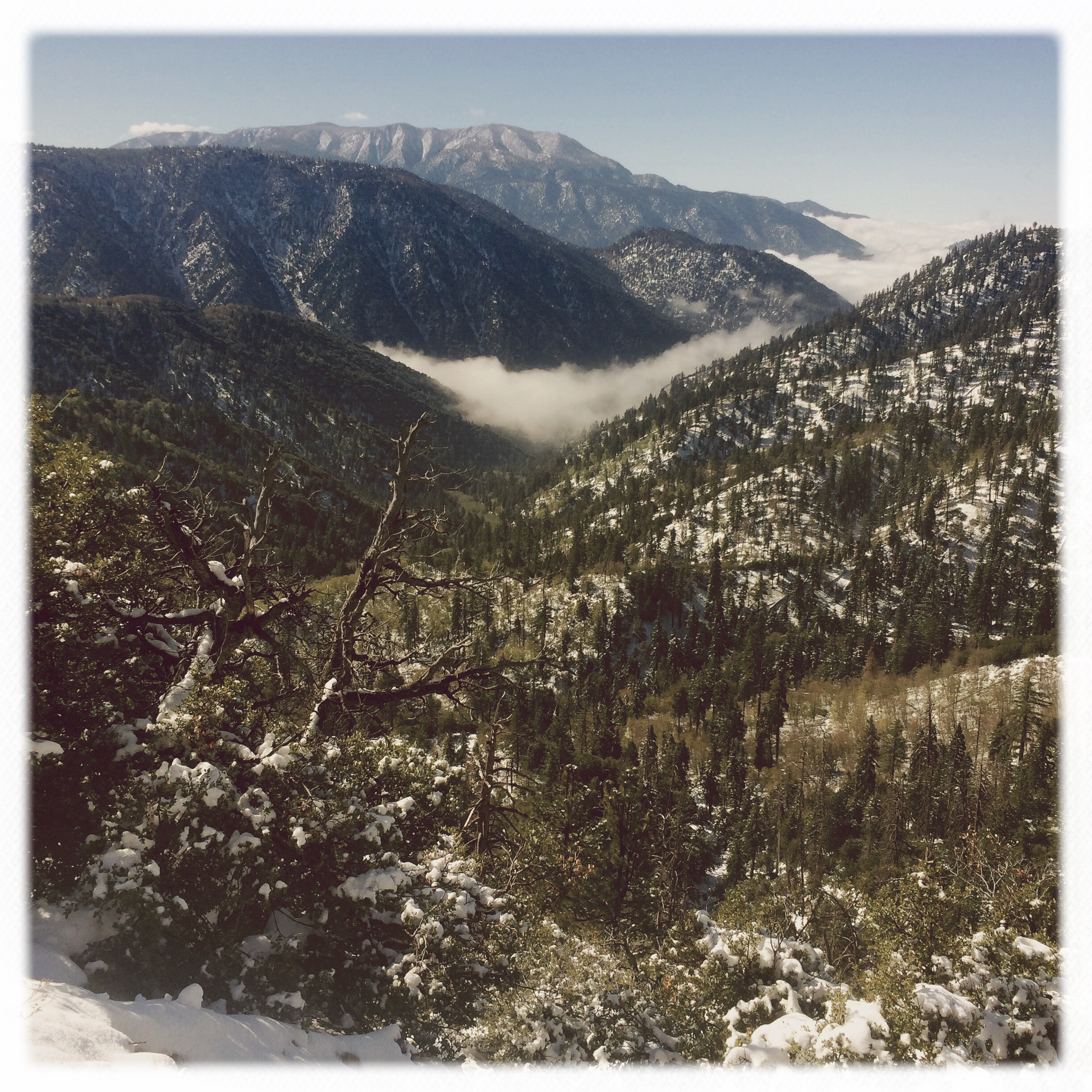
Turn of the Seasons

A Mixture of Fog and Clouds

prcssd. combat camera. san bernardino, ca. 2011.

Winter Sky, San Bernardino Mountains [Explored]

Overlooking the Inland Empire

May your day be blessed and full of strippers and burritos or pizza Birds ???? eye ???? view #330

View from a chairlift
Fading Storm, San Bernardino Mountains [Explored]
3.12.11 - Big Bear
#bigbear #bigbearlake #sanbernardino #sanbernardinonationalforest

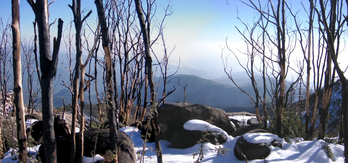
All that Remains [Explored]

The Inland Empire Lights

#sanbernardinomountains #mountains #runningsprings #hwy18

Rim of the World Highway

Sunset at Rim of the World

Above it all
Fire on the Water

110-365 Fishing Reconnaissance
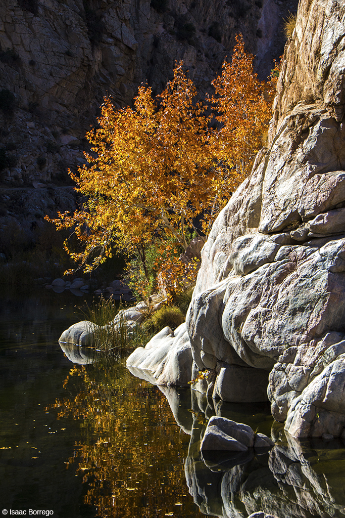
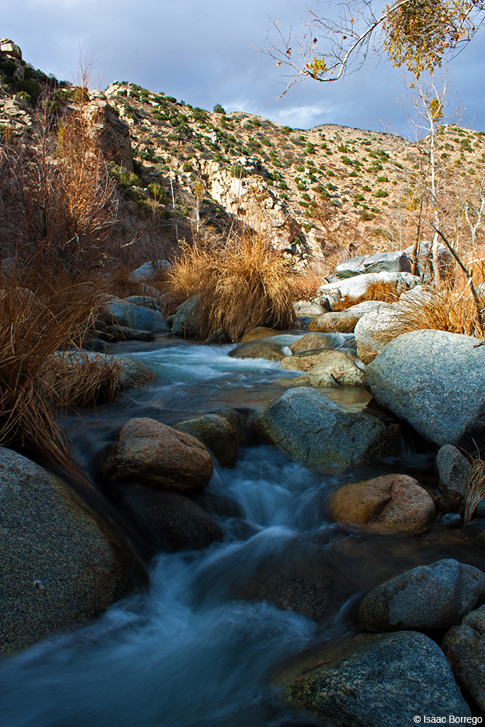
Canyon Reflections - Deep Creek, California
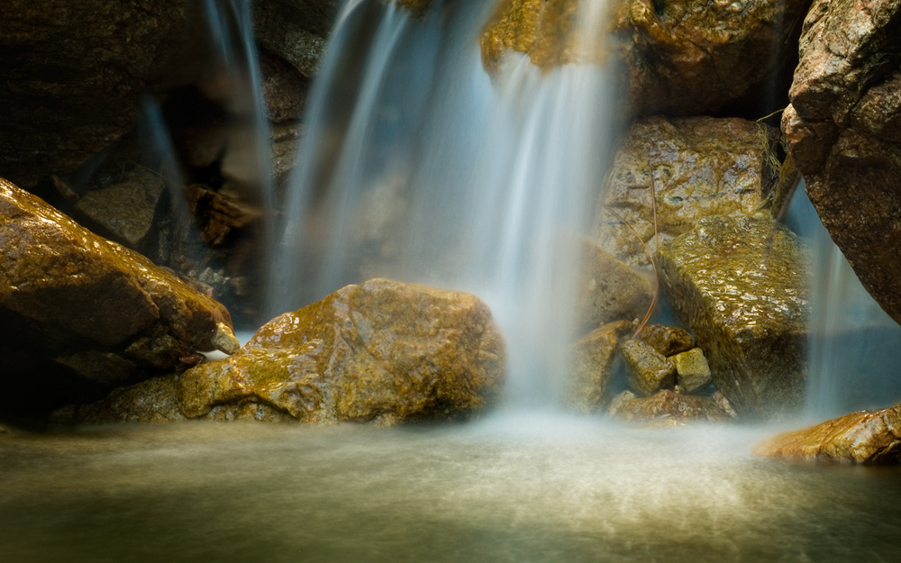
Pine Falls
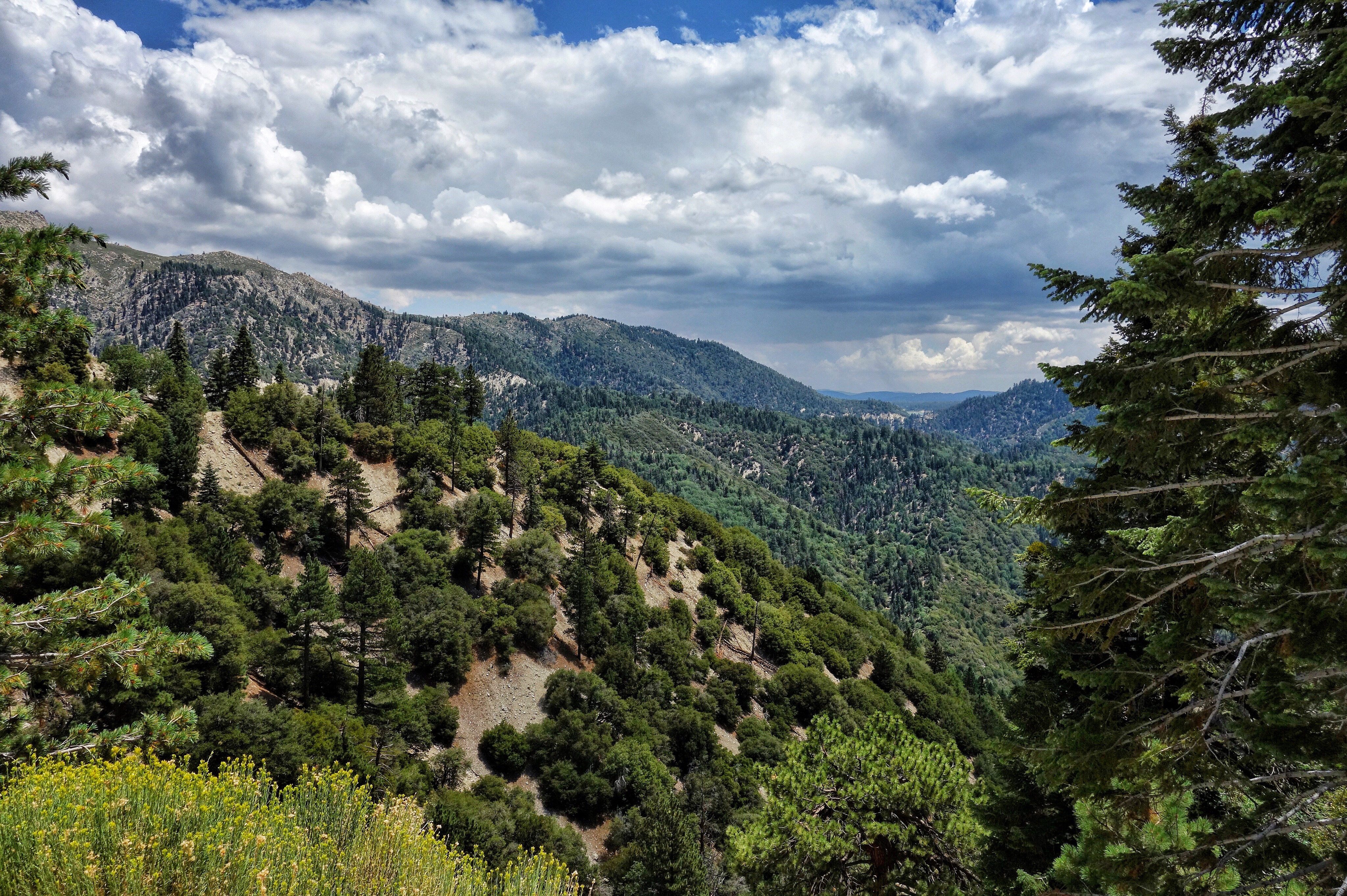
San Bernardino National Forest, California
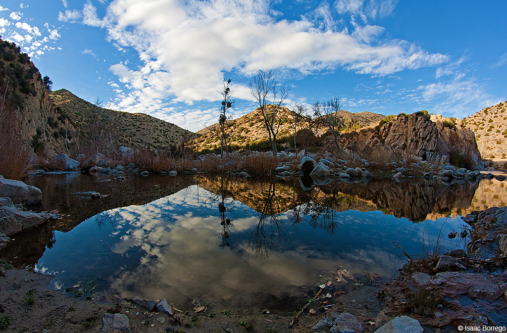
Deep Creek, California
IMG_2659.jpg
Topographic Map of Klamath Drive, Klamath Dr, Lake Arrowhead, CA, USA
Find elevation by address:

Places near Klamath Drive, Klamath Dr, Lake Arrowhead, CA, USA:
Wabash Drive
28913 Mohawk Dr
810 Oakmont Ln
774 Lake Dr
775 Arrowhead Villa Rd
707 Virginia Ct
Mittry Drive
Lake Arrowhead
28344 Altamont Ct
Skyforest
Lake Arrowhead Village
CA-18, Skyforest, CA, USA
881 Arrowhead Villa Rd
785 Buckingham Square
785 Buckingham Square
Poe Court
28990 Palisades Dr
235 Burnt Mill Rd
365 Terrace Rd
Shady Road
Recent Searches:
- Elevation of Congressional Dr, Stevensville, MD, USA
- Elevation of Bellview Rd, McLean, VA, USA
- Elevation of Stage Island Rd, Chatham, MA, USA
- Elevation of Shibuya Scramble Crossing, 21 Udagawacho, Shibuya City, Tokyo -, Japan
- Elevation of Jadagoniai, Kaunas District Municipality, Lithuania
- Elevation of Pagonija rock, Kranto 7-oji g. 8"N, Kaunas, Lithuania
- Elevation of Co Rd 87, Jamestown, CO, USA
- Elevation of Tenjo, Cundinamarca, Colombia
- Elevation of Côte-des-Neiges, Montreal, QC H4A 3J6, Canada
- Elevation of Bobcat Dr, Helena, MT, USA