Elevation of Matterhorn Drive, Matterhorn Dr, Lake Arrowhead, CA, USA
Location: United States > California > San Bernardino County > Lake Arrowhead >
Longitude: -117.20033
Latitude: 34.2711562
Elevation: 1661m / 5449feet
Barometric Pressure: 83KPa
Elevation Map:
Satellite Map:
Related Photos:

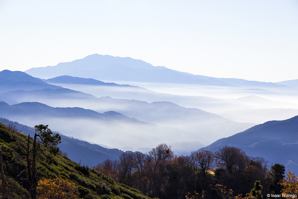
Islands in the Mist
After the Storm, Ord Mountains [Explored]

Thanksgiving Sunset HDR
View South from Point 4948

South from Marie Louise
Green Topographic

Overlooking the Inland Empire

May your day be blessed and full of strippers and burritos or pizza Birds ???? eye ???? view #330

View from a chairlift

Above the Clouds

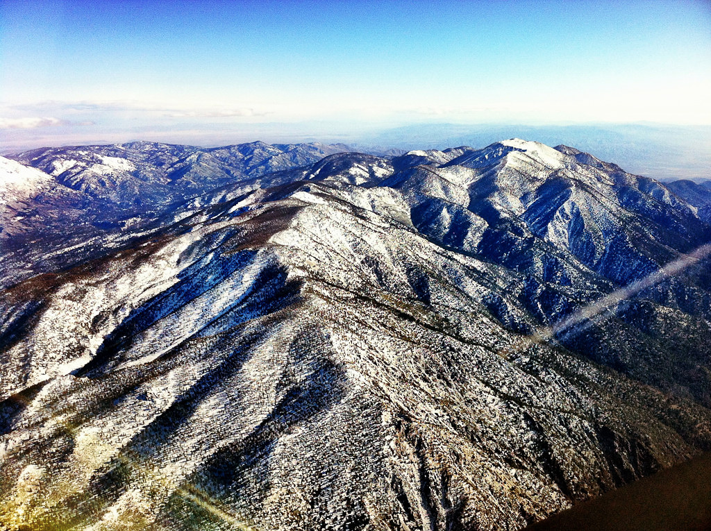
The IE from the Mountains Above
View From Work
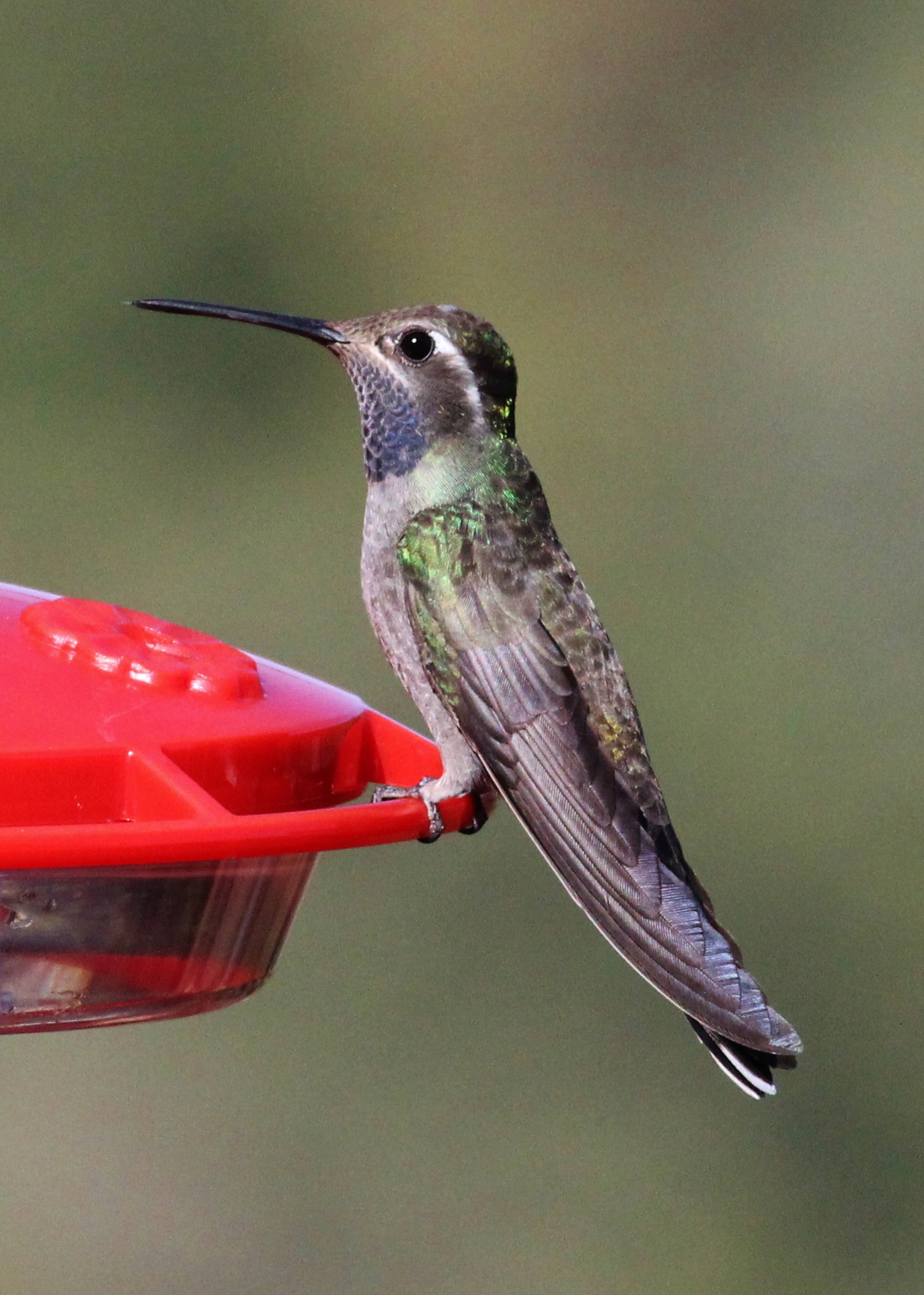
Blue-throated Hummingbird
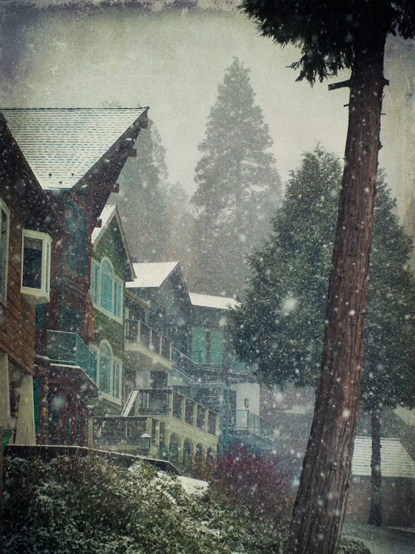
village cove homes
Arrowhead lake
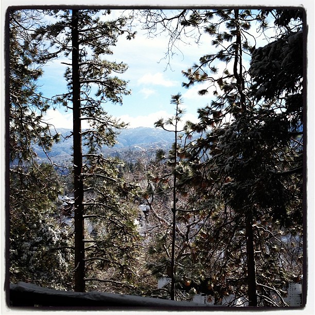
Morning #view #snow
Nighttime over the Inland Empire
House Fire
Cal-3 024
San Bernardino NF skywalk (1377a)
A View of the Mountain Road in Crestline, California
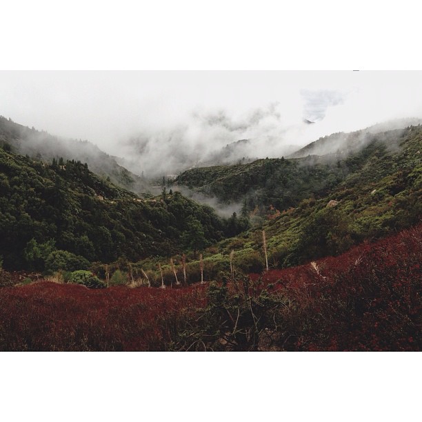
Fading Storm, San Bernardino Mountains [Explored]

#sanbernardinomountains #mountains #runningsprings #hwy18

Rim of the World Highway

Sunset at Rim of the World

Above it all
Fire on the Water

110-365 Fishing Reconnaissance
Canyon Reflections - Deep Creek, California
3.12.11 - Big Bear
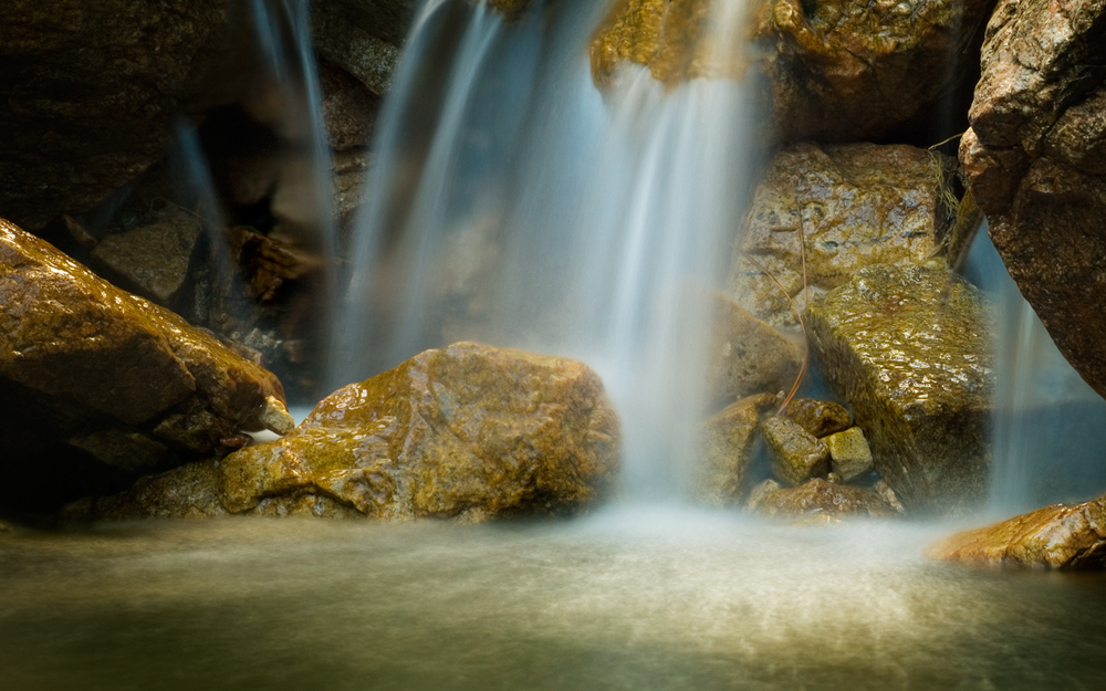
Pine Falls
San Bernardino National Forest, California
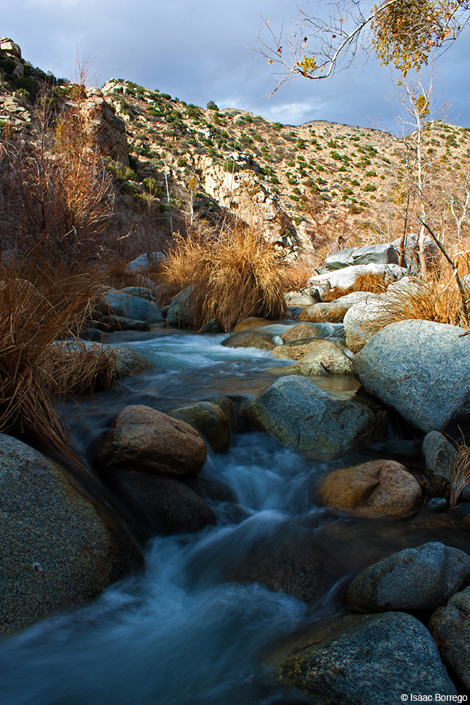
Deep Creek, California
Orange Saddleback
#bigbear #bigbearlake #sanbernardino #sanbernardinonationalforest
The dead tree
Ducks!
On the Rim of the World

All that Remains [Explored]
Topographic Map of Matterhorn Drive, Matterhorn Dr, Lake Arrowhead, CA, USA
Find elevation by address:

Places near Matterhorn Drive, Matterhorn Dr, Lake Arrowhead, CA, USA:
27987 St Bernard Ln
28097 Geneva Ln
966 Willow Creek Rd
Pintail Cir, Lake Arrowhead, CA, USA
257 Burnt Mill Rd
235 Burnt Mill Rd
Lake Arrowhead Village
Castle Gate Road
365 Terrace Rd
Lake Arrowhead
Shady Road
Mittry Drive
1242 Acadia Dr
28990 Palisades Dr
29101 Hospital Rd
Klamath Drive
Wabash Drive
707 Virginia Ct
785 Buckingham Square
785 Buckingham Square
Recent Searches:
- Elevation of 6 Rue Jules Ferry, Beausoleil, France
- Elevation of Sattva Horizon, 4JC6+G9P, Vinayak Nagar, Kattigenahalli, Bengaluru, Karnataka, India
- Elevation of Great Brook Sports, Gold Star Hwy, Groton, CT, USA
- Elevation of 10 Mountain Laurels Dr, Nashua, NH, USA
- Elevation of 16 Gilboa Ln, Nashua, NH, USA
- Elevation of Laurel Rd, Townsend, TN, USA
- Elevation of 3 Nestling Wood Dr, Long Valley, NJ, USA
- Elevation of Ilungu, Tanzania
- Elevation of Yellow Springs Road, Yellow Springs Rd, Chester Springs, PA, USA
- Elevation of Rēzekne Municipality, Latvia