Elevation of Hillsboro, MT, USA
Location: United States > Montana > Carbon County >
Longitude: -108.23289
Latitude: 45.0999561
Elevation: 1168m / 3832feet
Barometric Pressure: 88KPa
Elevation Map:
Satellite Map:
Related Photos:

Devils Canyon Anticline

Celestial River

Clouds Over The Bighorn Mountains

Blizzard in October

Devil Canyon

One of Those Moments

Leaving a Wake

Delta Aquarid Time Lapse

Red Planet and Milky Way

Pryor Experience

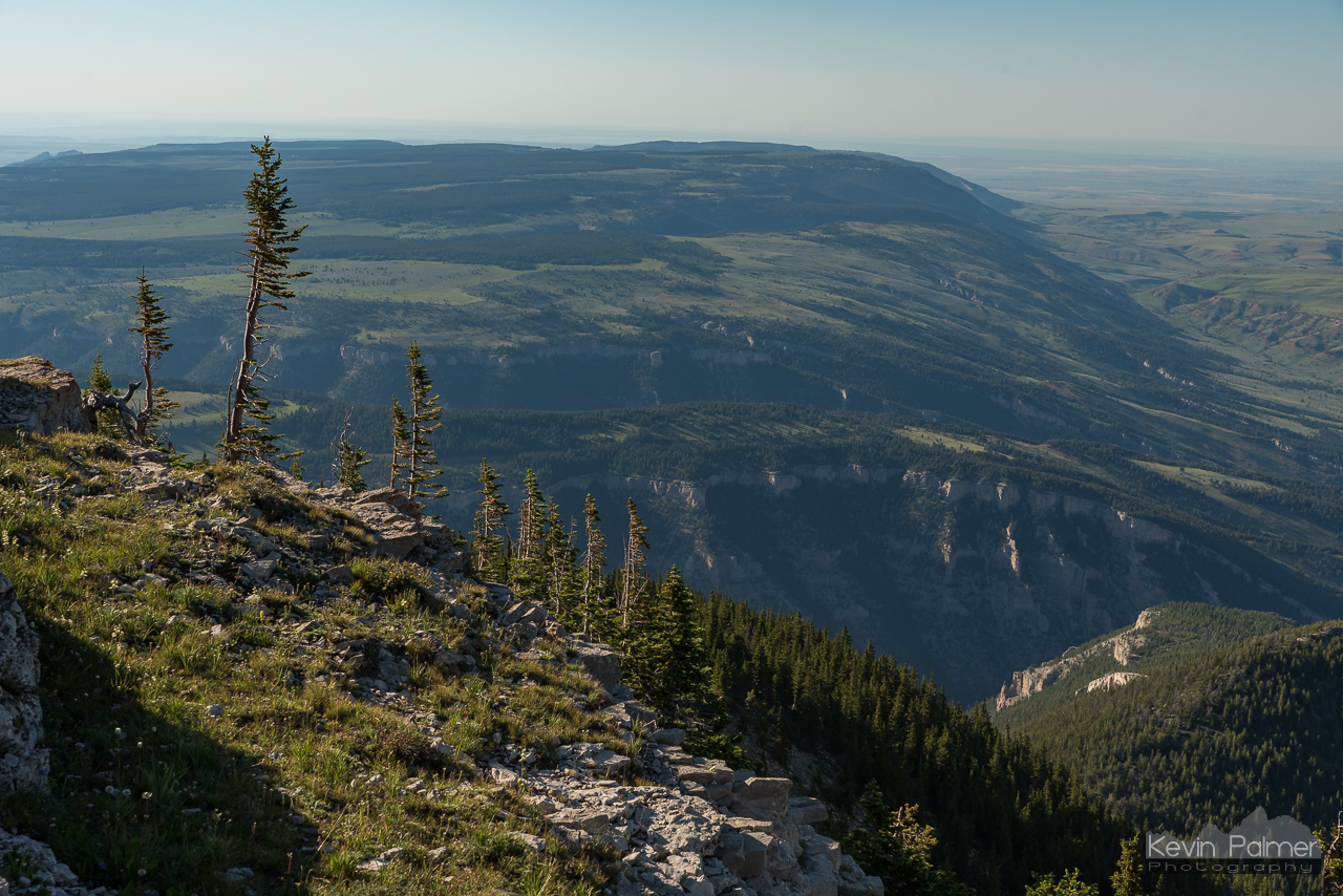
Mountaintop North

Montana Bighorns

Steep Talus

8700 Feet

Dry Fork Overlook

Hillsboro Sunrise

East Pryor View

12 Minutes

Dryhead Overlook
Dryhead View

The Longest Sunrise

Devil's Canyon
Devil's Canyon

Standing sentinel

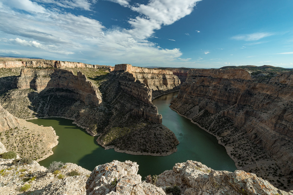
Bighorn Canyon

Snowy Bighorns on the Horizon

Bighorn Canyon Landscape

Reds and Yellows

Big Split

Weekend Reflections

Montana's Horseshoe Bend

Between Planets

Pinnacle of Perfection

Wyoming high desert

Kelvin-Helmholtz Waves

Ewing-Snell Ranch

Rock, Water, Canyon, Sky
Topographic Map of Hillsboro, MT, USA
Find elevation by address:

Places in Hillsboro, MT, USA:
Places near Hillsboro, MT, USA:
S 7th Rd, Huntley, MT, USA
3 Tobacco Rd, Wyola, MT, USA
Ballantine
Ballantine, MT, USA
Worden
S 28th Rd, Ballantine, MT, USA
S 20th Rd, Worden, MT, USA
Hardin, MT, USA
704 N Cody Ave
3039 Hwy 312
Crow Agency
Cane St, Pompeys Pillar, MT, USA
Pompeys Pillar
Big Horn County
Bull Mountain
Custer Frontage Rd, Custer, MT, USA
Custer
Kirby
Old Hwy 10, Forsyth, MT, USA
Recent Searches:
- Elevation of Congressional Dr, Stevensville, MD, USA
- Elevation of Bellview Rd, McLean, VA, USA
- Elevation of Stage Island Rd, Chatham, MA, USA
- Elevation of Shibuya Scramble Crossing, 21 Udagawacho, Shibuya City, Tokyo -, Japan
- Elevation of Jadagoniai, Kaunas District Municipality, Lithuania
- Elevation of Pagonija rock, Kranto 7-oji g. 8"N, Kaunas, Lithuania
- Elevation of Co Rd 87, Jamestown, CO, USA
- Elevation of Tenjo, Cundinamarca, Colombia
- Elevation of Côte-des-Neiges, Montreal, QC H4A 3J6, Canada
- Elevation of Bobcat Dr, Helena, MT, USA