Elevation of Pryor Mountains, Montana, USA
Location: United States > Montana > Carbon County > Hillsboro >
Longitude: -108.33527
Latitude: 45.168333
Elevation: 2676m / 8780feet
Barometric Pressure: 73KPa
Elevation Map:
Satellite Map:
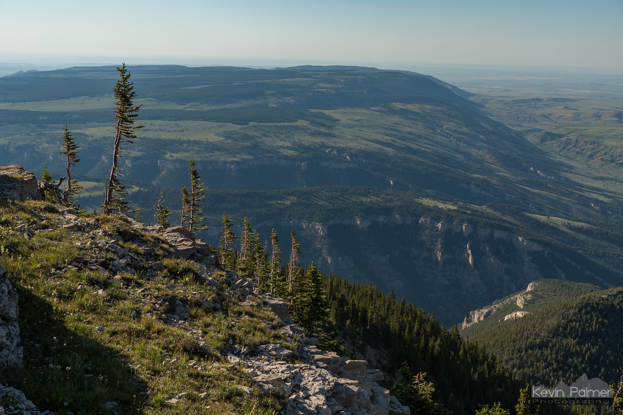
Related Photos:

Blizzard in October

Leaving a Wake

Red Planet and Milky Way

Pryor Experience

Pryor Wildflowers

Dry Fork Overlook

Hillsboro Sunrise

East Pryor View

12 Minutes

The Longest Sunrise

Big Pryor Summit

Pryors and Bighorns

The Last Trail

Pryor Mountain Buckfence

Big Pryor Trail

Hillsboro, Montana

Hidden View

Hillsboro, Montana

Sykes Arch

Bighorn Canyon Sunset, Montana

Devils Canyon Anticline

Between Planets

Kelvin-Helmholtz Waves

Ewing-Snell Ranch

Mountaintop North

Montana Bighorns

Steep Talus

Medicine Creek Campsite

8700 Feet

Dryhead Overlook

Trail Creek

Road to Hillsboro
Dryhead View

Expanding Shadows
Topographic Map of Pryor Mountains, Montana, USA
Find elevation by address:

Places near Pryor Mountains, Montana, USA:
Pryor
Chief Plenty Coups State Park
Billings, MT, USA
1929 Weldon Rd
Hillcrest Road & Collier Road
3401 Coburn Rd
1 Pryor Mountain Rd
1 Pryor Mountain Rd
Bridger
Laurel, MT, USA
1713 Hollyhock St
547 Garden Ave
14 Rr 1, Fromberg, MT, USA
Fromberg
1444 Chesapeake Ln
Yellowstone County
Neibauer Rd, Billings, MT, USA
2225 S 44th St W
Interstate 90
Central - Terry
Recent Searches:
- Elevation of Brooks Lp, Spearfish, SD, USA
- Elevation of Panther Dr, Maggie Valley, NC, USA
- Elevation of Jais St - Wadi Shehah - Ras al Khaimah - United Arab Emirates
- Elevation of Shawnee Avenue, Shawnee Ave, Easton, PA, USA
- Elevation of Scenic Shore Dr, Kingwood Area, TX, USA
- Elevation of W Prive Cir, Delray Beach, FL, USA
- Elevation of S Layton Cir W, Layton, UT, USA
- Elevation of F36W+3M, Mussoorie, Uttarakhand, India
- Elevation of Fairland Ave, Fairhope, AL, USA
- Elevation of Sunset Dr, Richmond, VA, USA