Elevation map of Interstate 90, I-90, Montana, USA
Location: United States > Montana > Yellowstone County > Billings >
Longitude: -108.69910
Latitude: 45.685345
Elevation: 992m / 3255feet
Barometric Pressure: 90KPa
Elevation Map:
Satellite Map:
Related Photos:
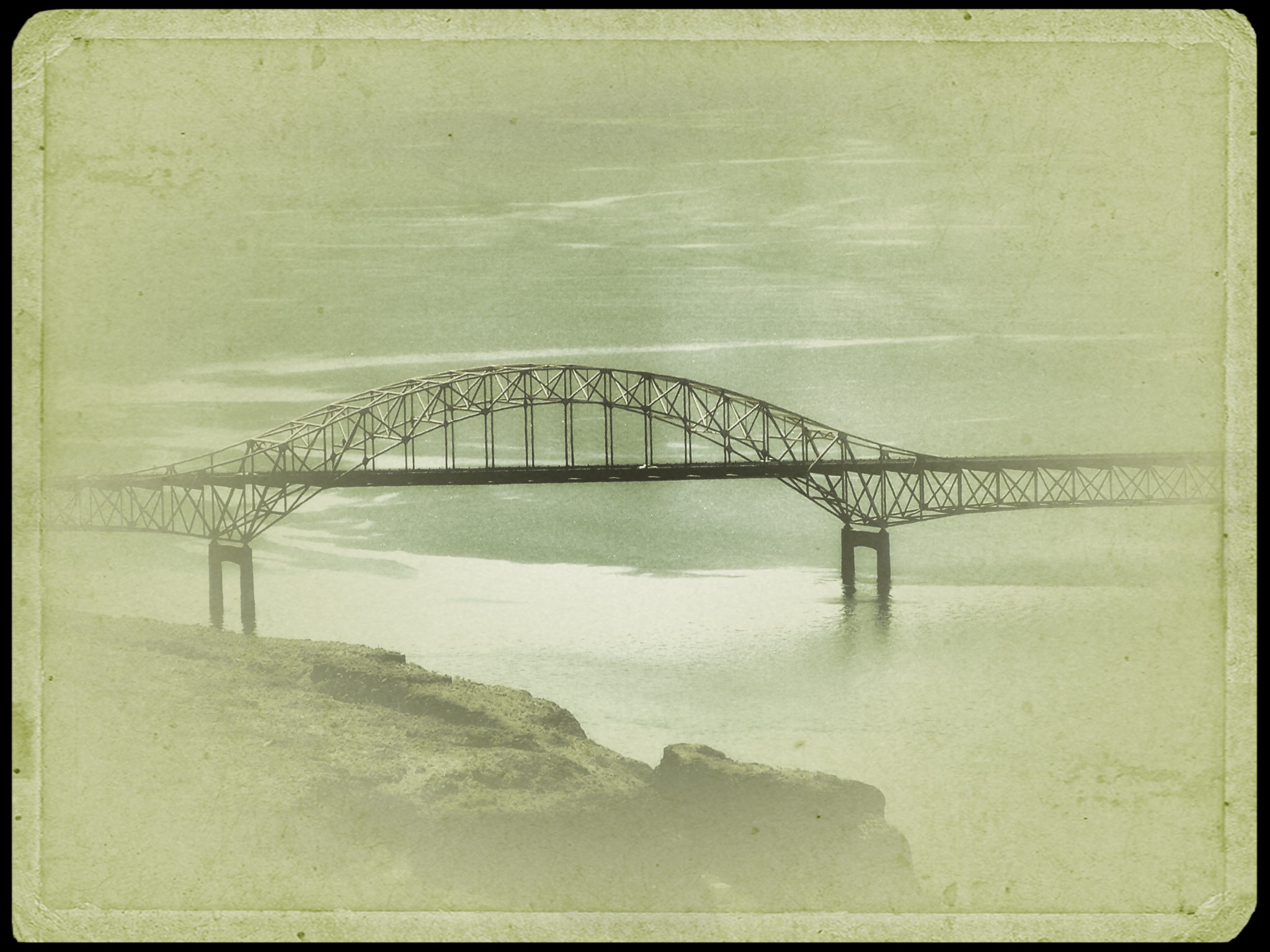
Columbia River ~ Washington State ~ Traveling Home to Toronto Canada
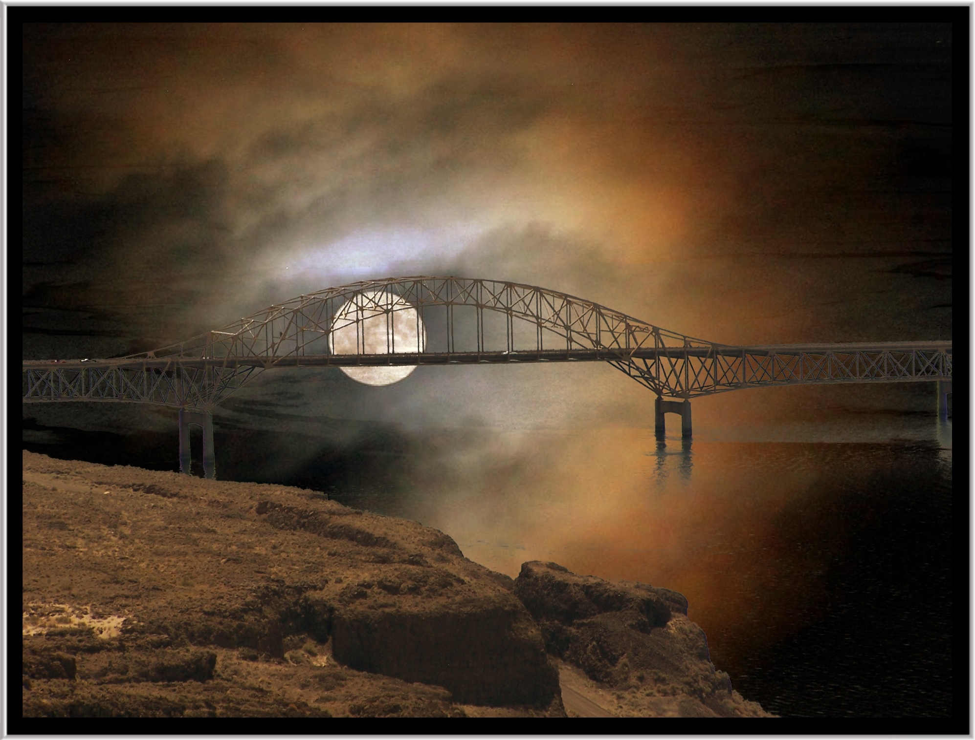
Vantage Washington ~ Vantage Bridge ~ Columbia River in Washington State ~ Foggy

Wild Iron Horse

G'Night World

The Lathe of Heaven [Explored #98]
Vantage Bridge ~ Columbia River in Washington State ~ Series Going Home To Toronto Canada
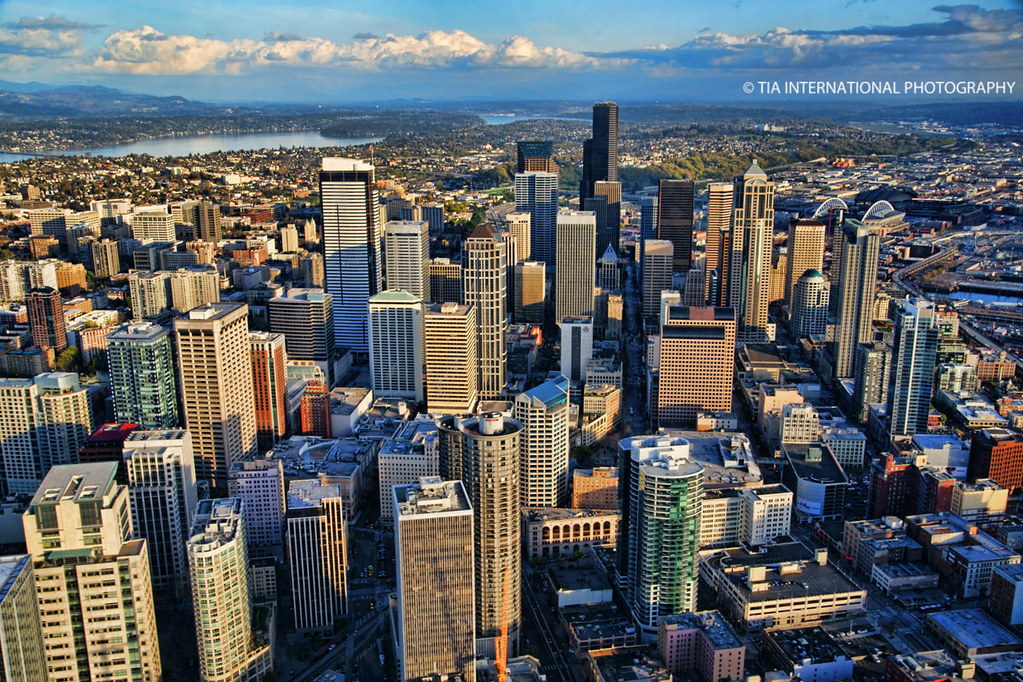
How a Seagull Sees Seattle

The Morning Of 2/9/14: It Snowed In Seattle
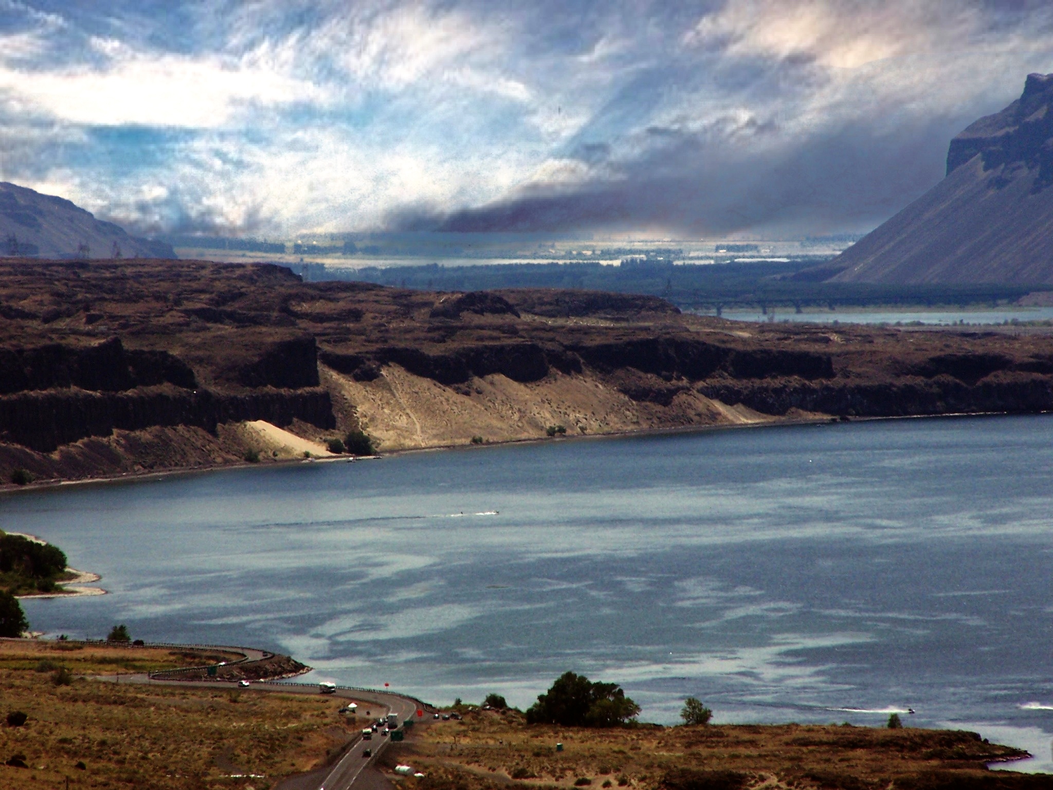
Vantage Viewpoint
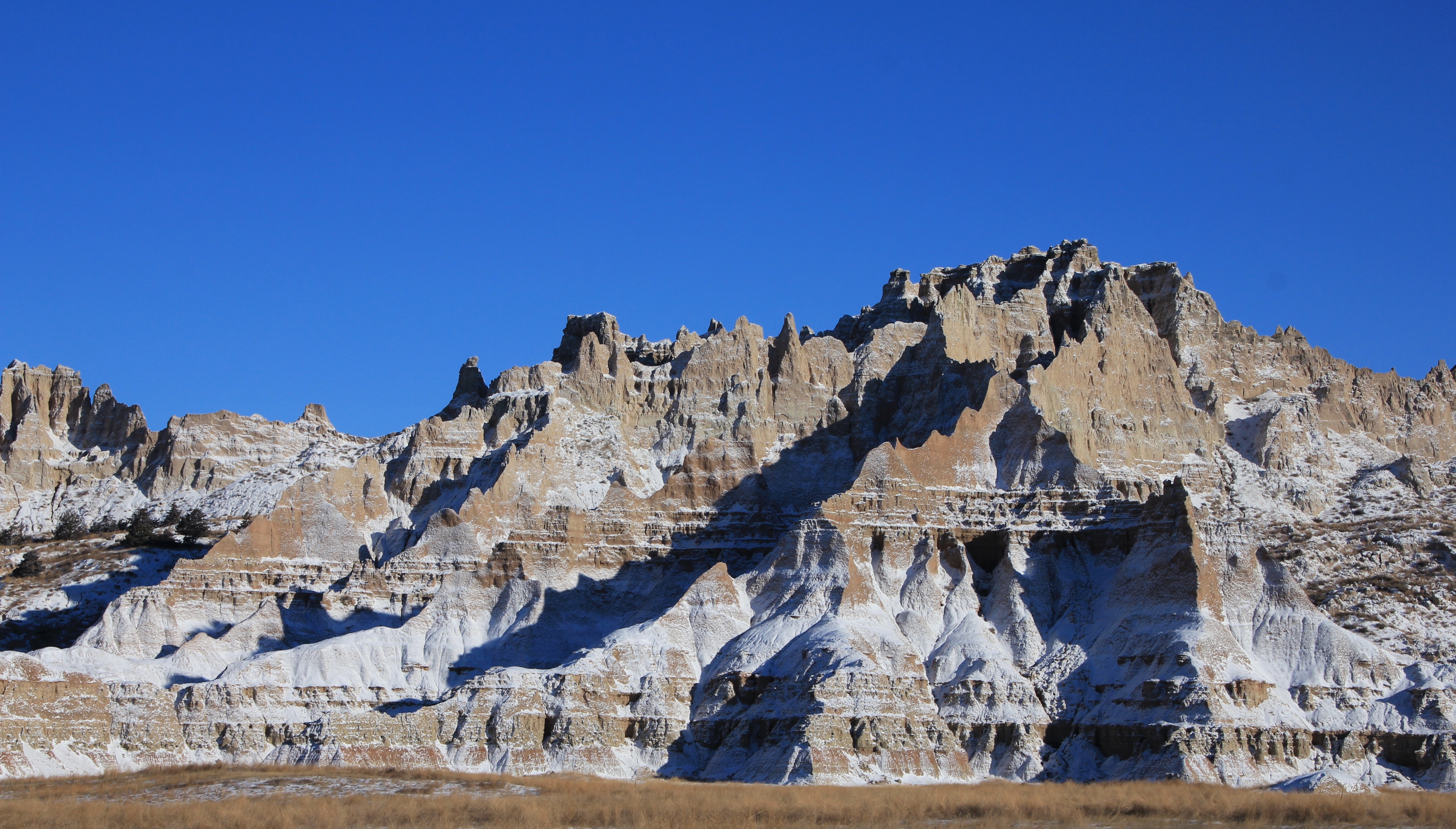
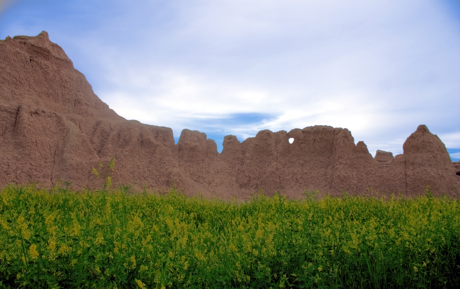
Dakota Badlands . . .
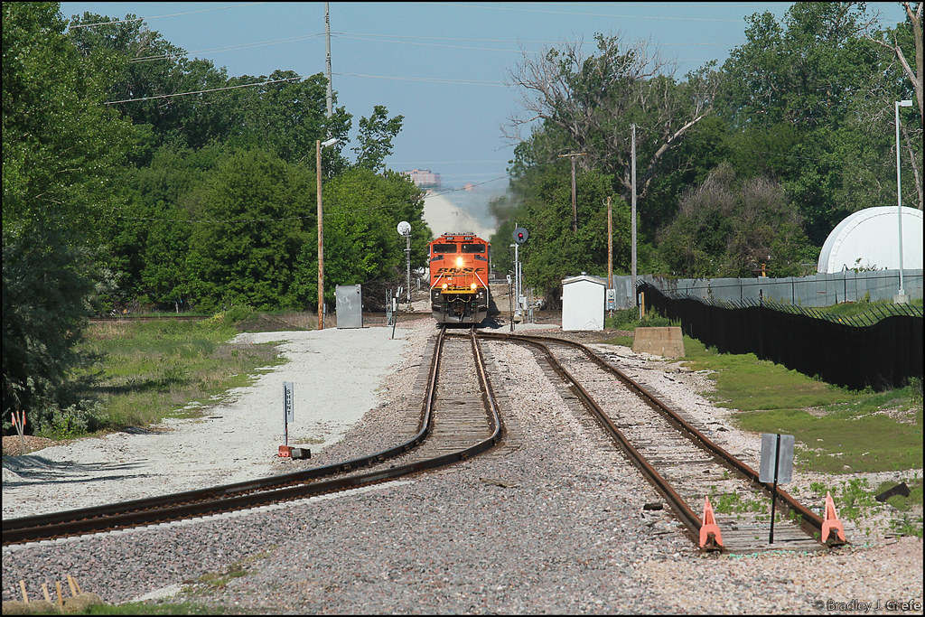
BNSF 8517 - G-CBPKCM3-12A - CB IA

Haystack Mountain at sunset

Hyperdrive Hypothesis

Big Sandy Lake from Cirque trail
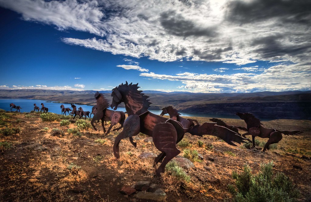
Iron Horse Monument HDR
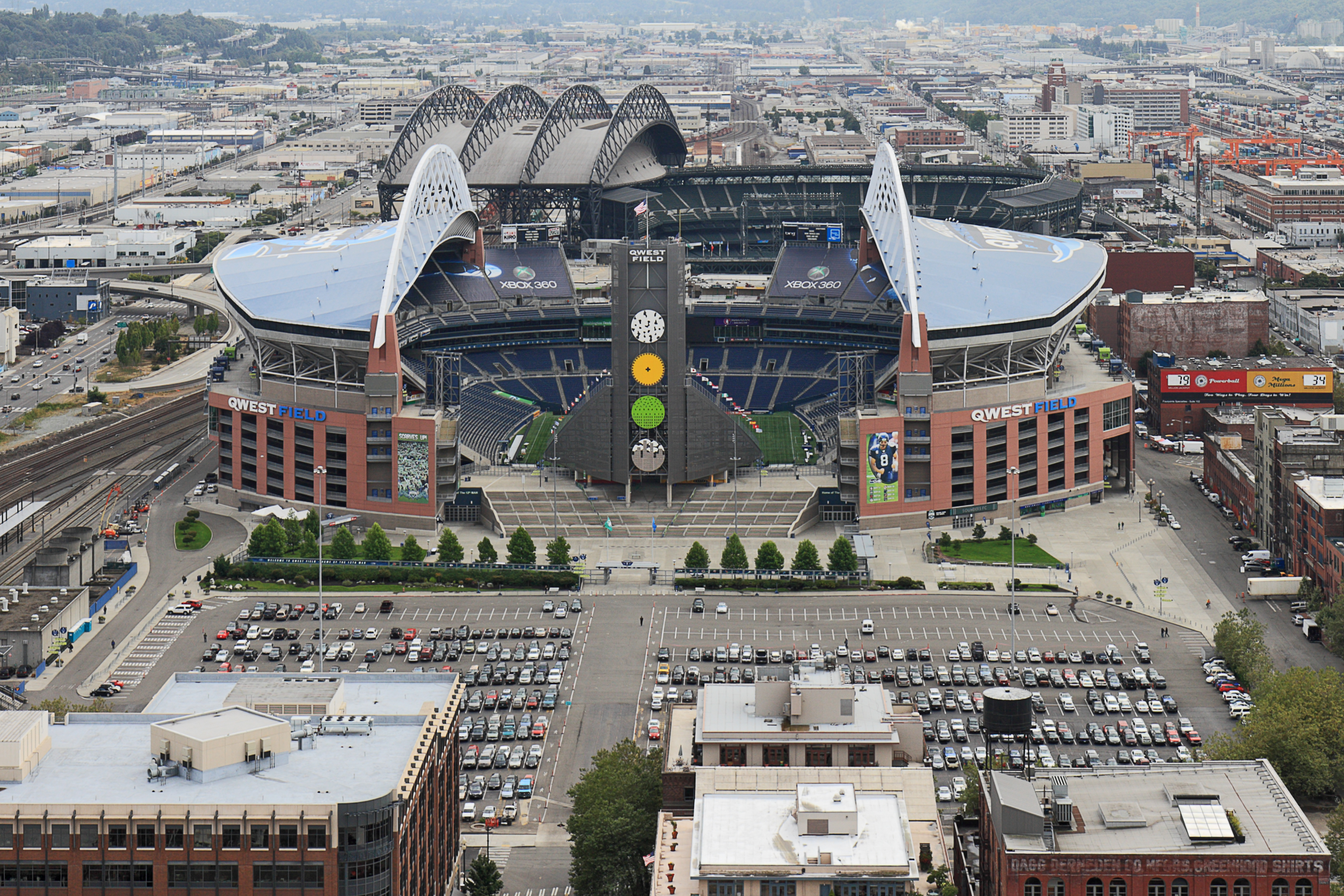
Seattle - CenturyLink Field and Safeco Field

Early morning at North Lake

Interstate 90 floating bridge-Color

Steeple & East Temple Peaks
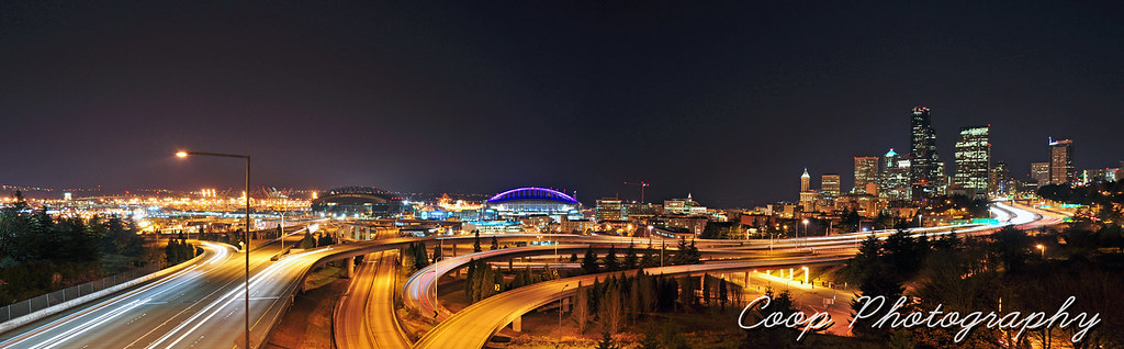
The City Never Sleeps

Mount Evans

Ohio Fall Foliage

Columbia River ~ Washington State ~ Traveling Home to Toronto Canada

Highway Melodies

Marinating Upon the Great Northwest Country: East of the Cascades (Part 8): On the Land

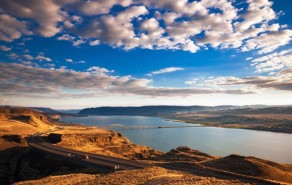
Vantage, Washington
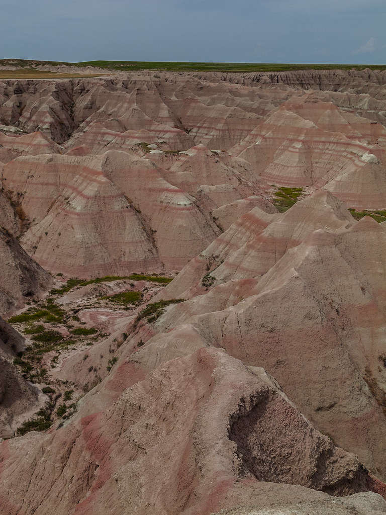
Badlands, South Dakota

The day I gifted myself with a perfect day

5¢ Coffee
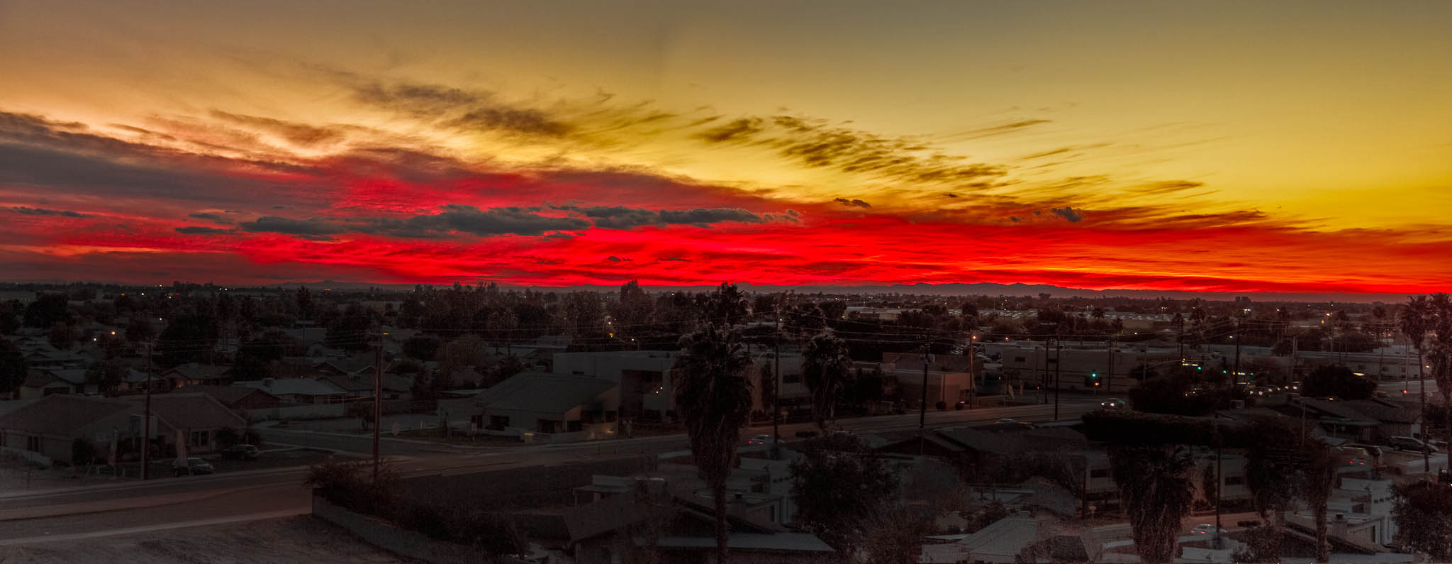
Sunset Over Yuma
a barrier between green and blue

Nevada's Egan Range
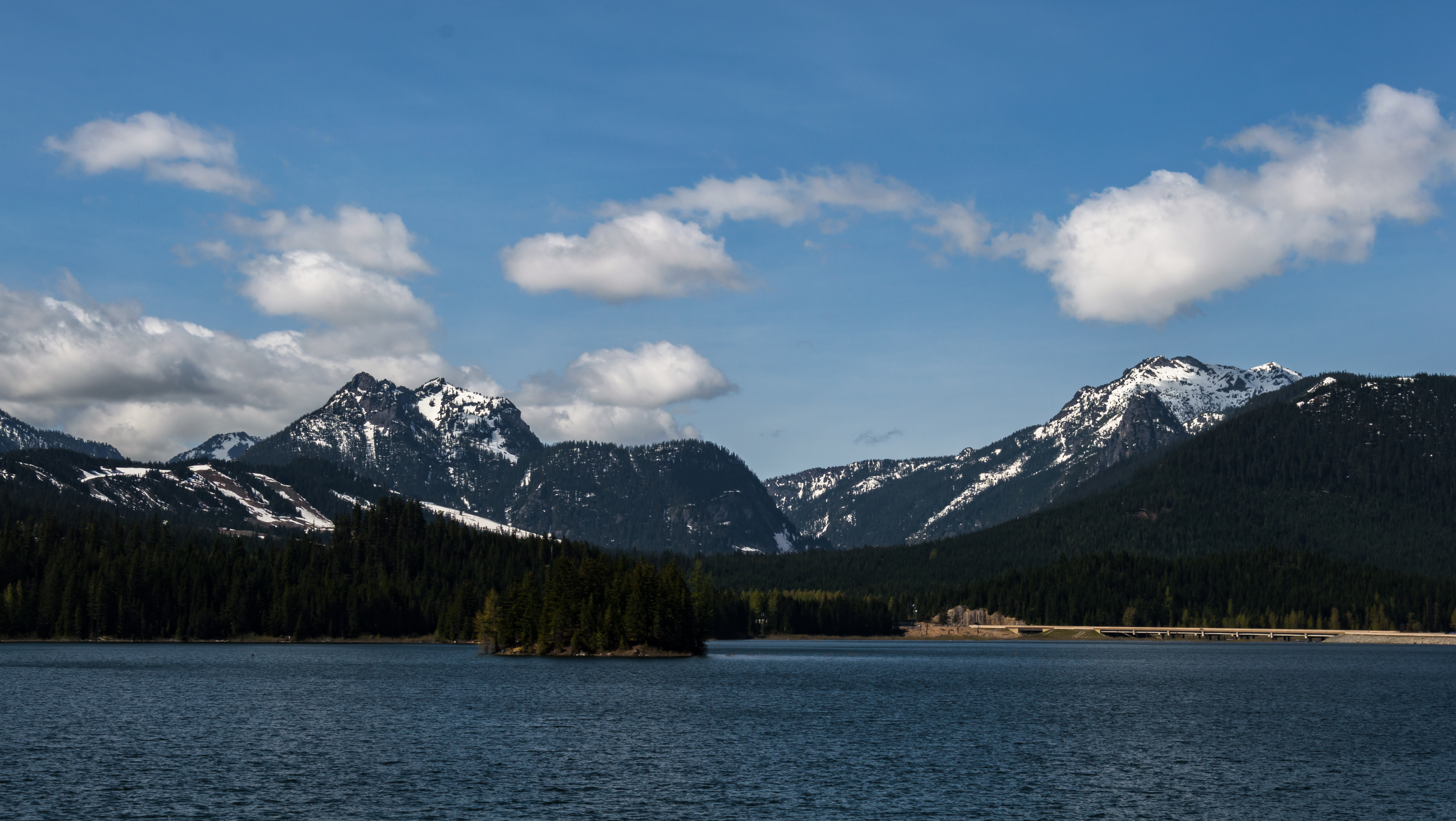
Mountains over I90

Vantage Bridge ~ Columbia River in Washington State ~ Series Going Home to Toronto Canada
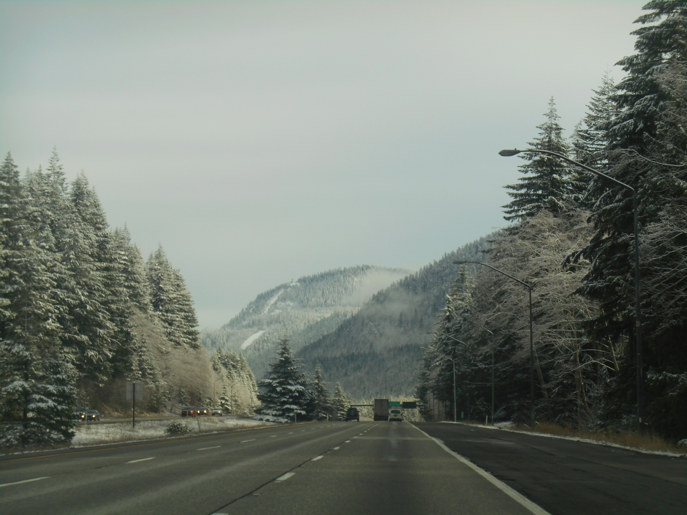
I-90 eastbound
Topographic Map of Interstate 90, I-90, Montana, USA
Find elevation by address:

Places near Interstate 90, I-90, Montana, USA:
Grizzly Trail, Laurel, MT, USA
Laurel, MT, USA
1875 Ridge Dr
Laurel
Rhino Court
Billings, MT, USA
Neibauer Rd, Billings, MT, USA
2225 S 44th St W
501 South 44th St W
501 South 44th St W
3900 Olympic Blvd
2 Gebhardt Ln
West End
Hillcrest Road & Collier Road
1200 30th St W
Billings, MT, USA
1444 Chesapeake Ln
4901 Mt-3
1713 Hollyhock St
Avenue C
Recent Searches:
- Elevation of Felindre, Swansea SA5 7LU, UK
- Elevation of Leyte Industrial Development Estate, Isabel, Leyte, Philippines
- Elevation of W Granada St, Tampa, FL, USA
- Elevation of Pykes Down, Ivybridge PL21 0BY, UK
- Elevation of Jalan Senandin, Lutong, Miri, Sarawak, Malaysia
- Elevation of Bilohirs'k
- Elevation of 30 Oak Lawn Dr, Barkhamsted, CT, USA
- Elevation of Luther Road, Luther Rd, Auburn, CA, USA
- Elevation of Unnamed Road, Respublika Severnaya Osetiya — Alaniya, Russia
- Elevation of Verkhny Fiagdon, North Ossetia–Alania Republic, Russia