Elevation map of Carbon County, MT, USA
Location: United States > Montana >
Longitude: -109.10025
Latitude: 45.2820195
Elevation: 1452m / 4764feet
Barometric Pressure: 85KPa
Elevation Map:
Satellite Map:
Related Photos:

Main Street
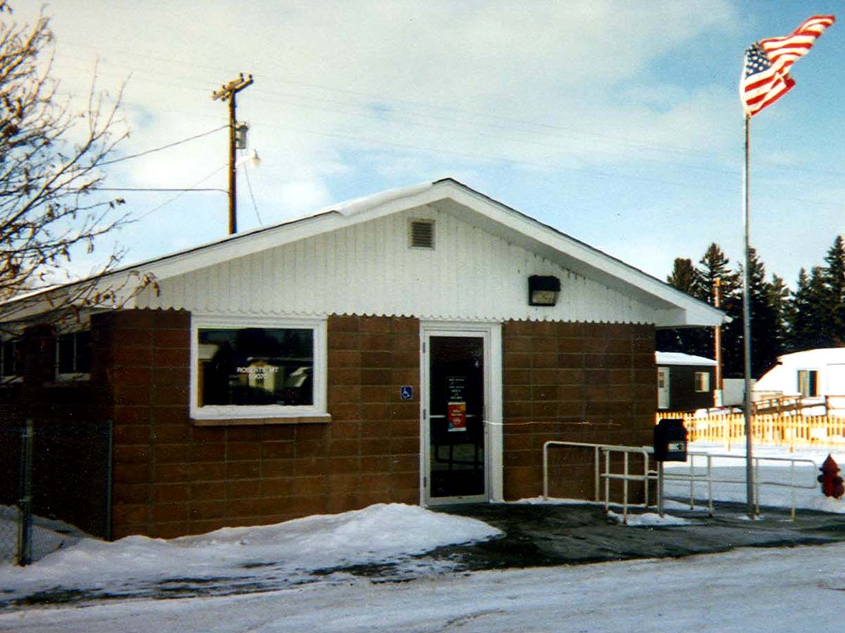
Roberts, Montana 59070

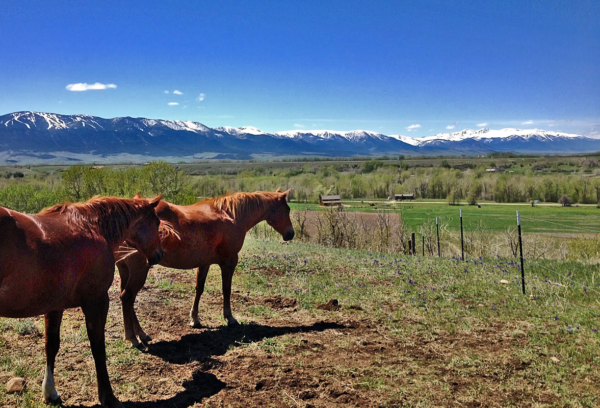
Big Sky Country... outside Red Lodge, MT!!!

This is a couple we ran into on the Beartooth Highway - what a view!

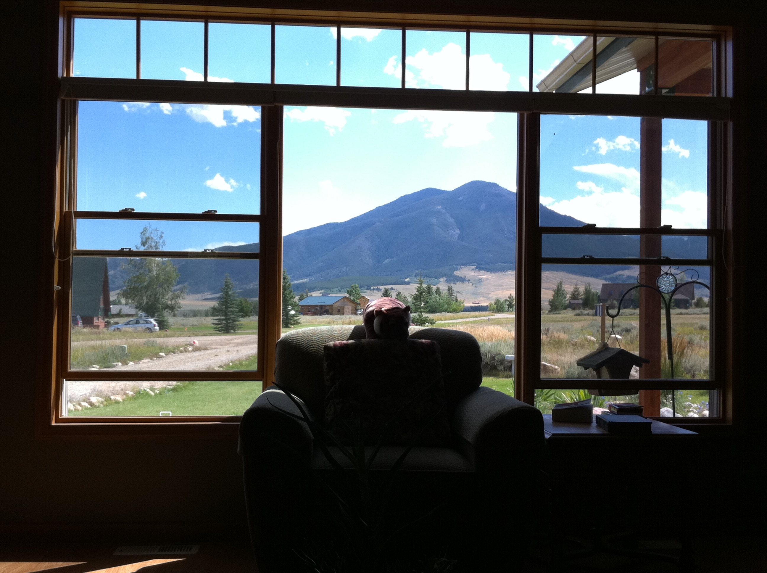
Bedroom "view"
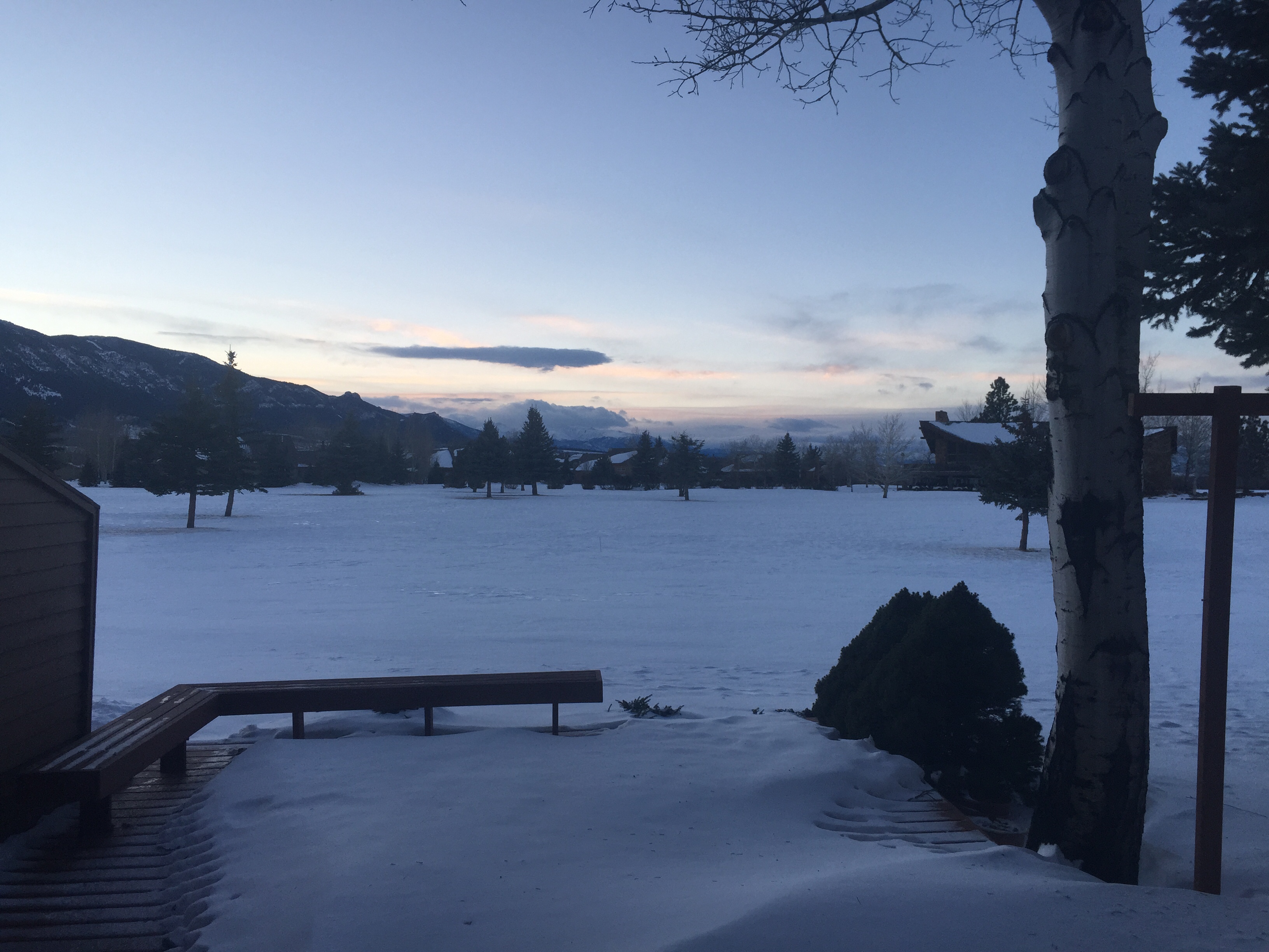
daylight view
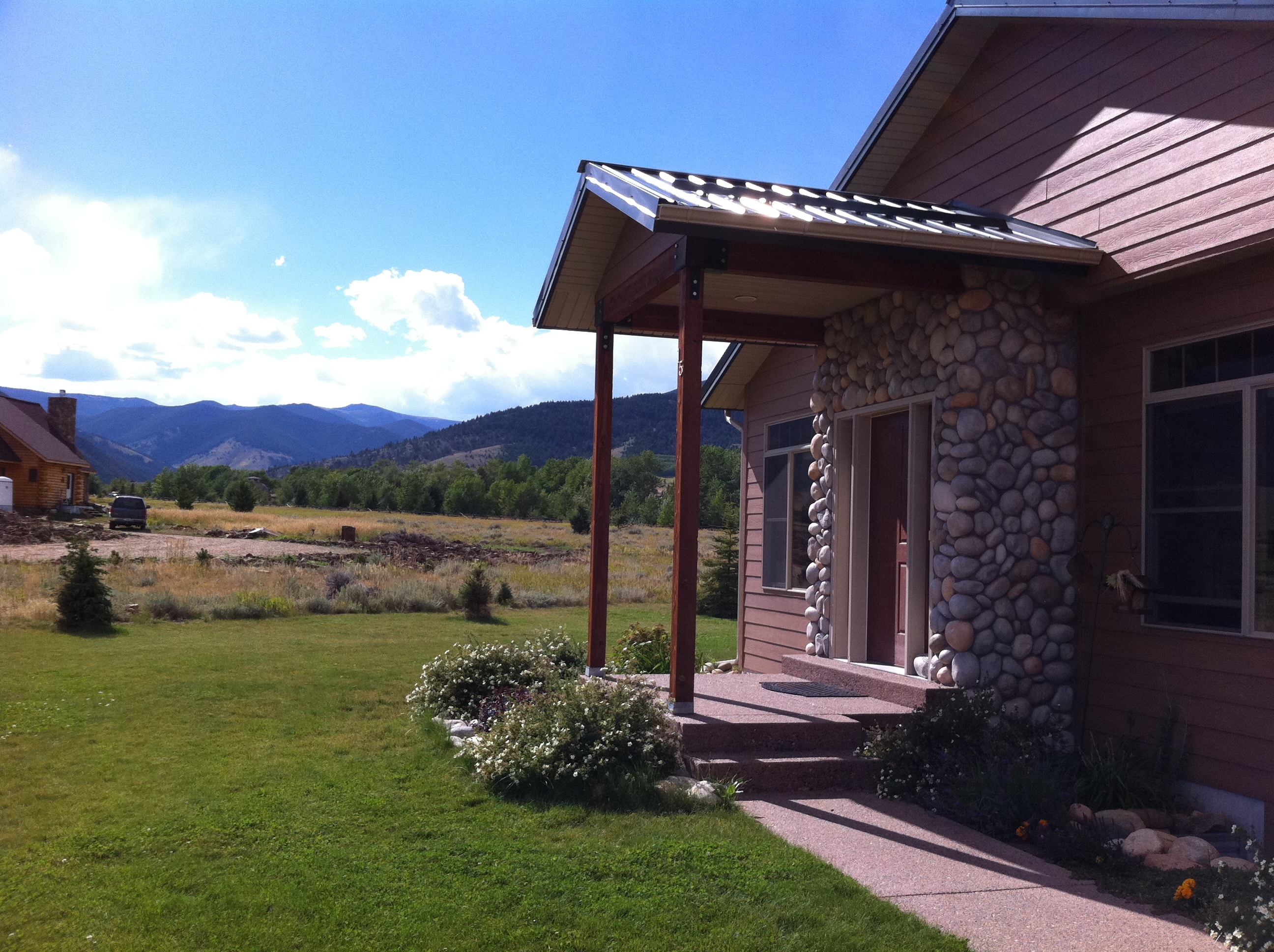
Red Lodge, Montana
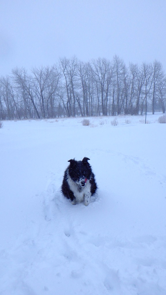
Tongue out again
Enjoying the View

Red Lodge, Montana 59068
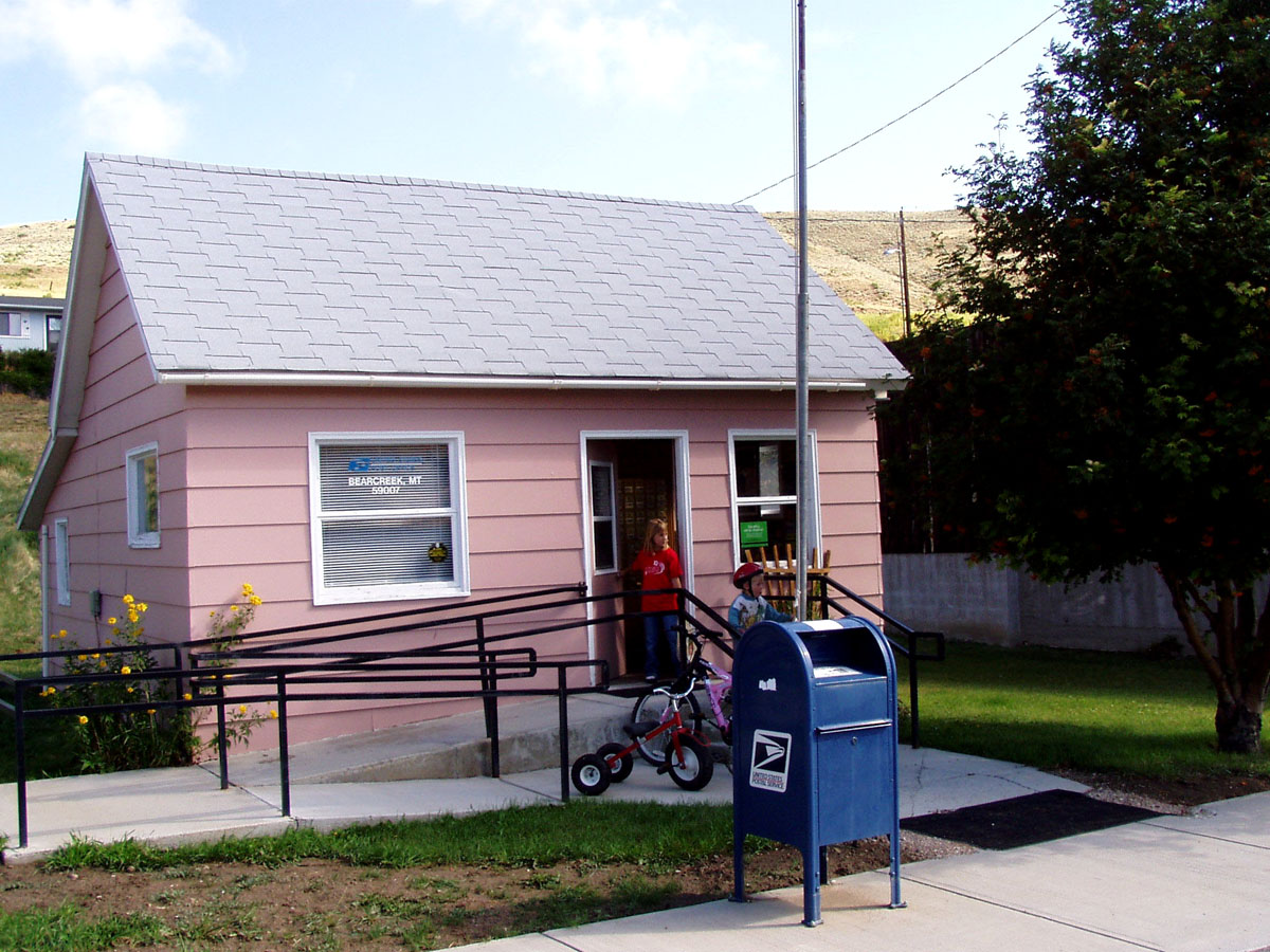
Bearcreek, Montana 59007
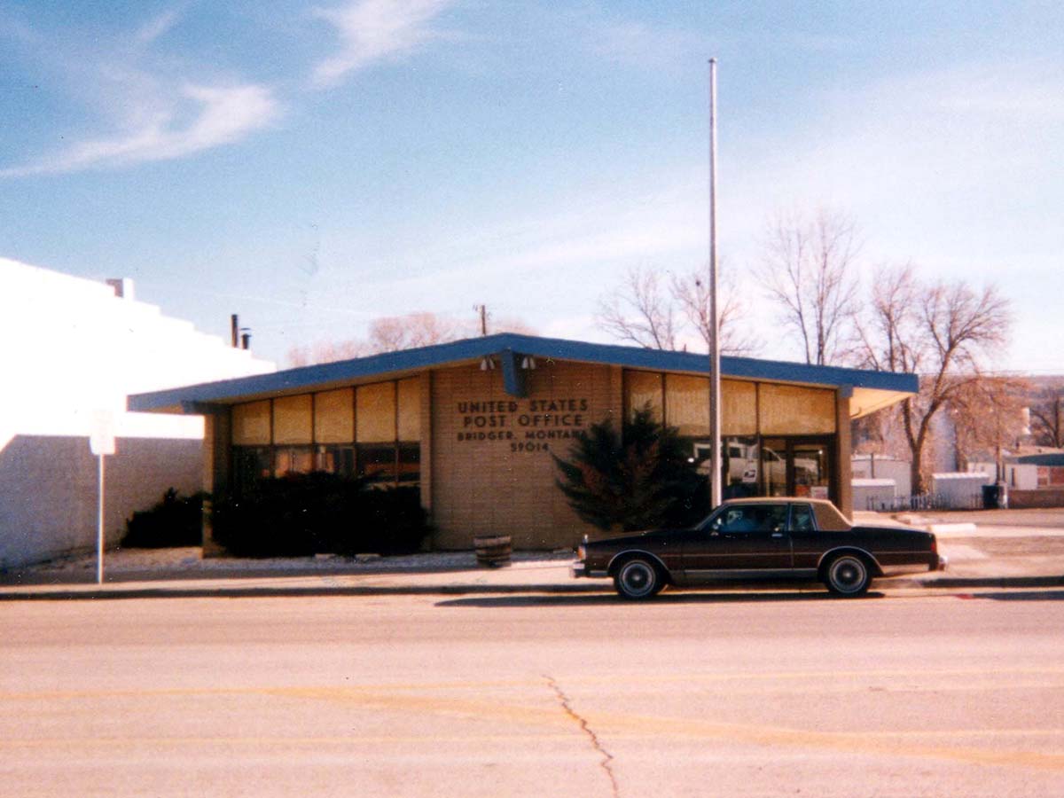
Bridger, Montana 59014
Yesterday filled with smoke today filled with fresh air. Love looking up and seeing this view.
Red Lodge, Montana
Red Lodge
longest day
Red Lodge, Montana
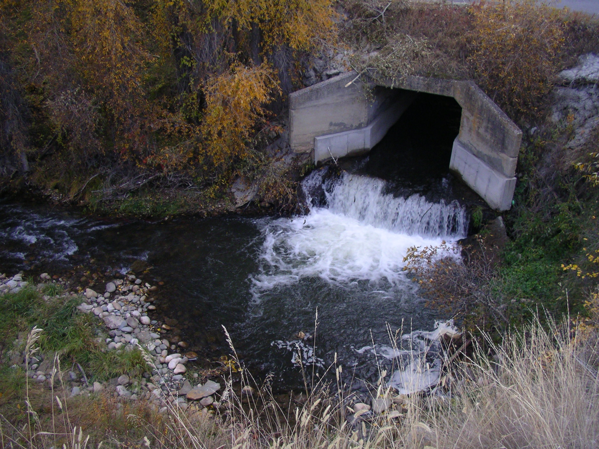
Fish barrier, Carbon County, Montana.
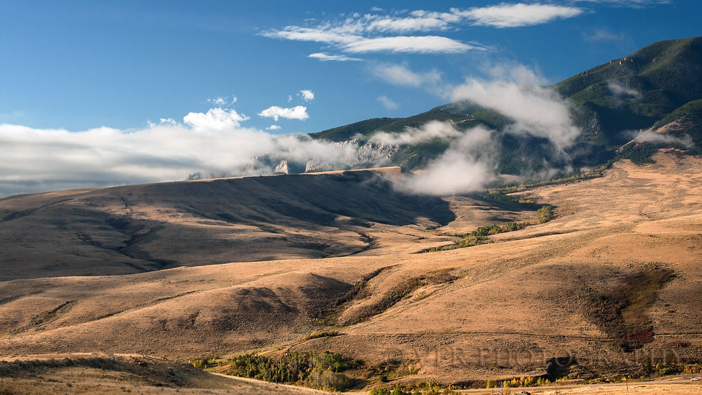
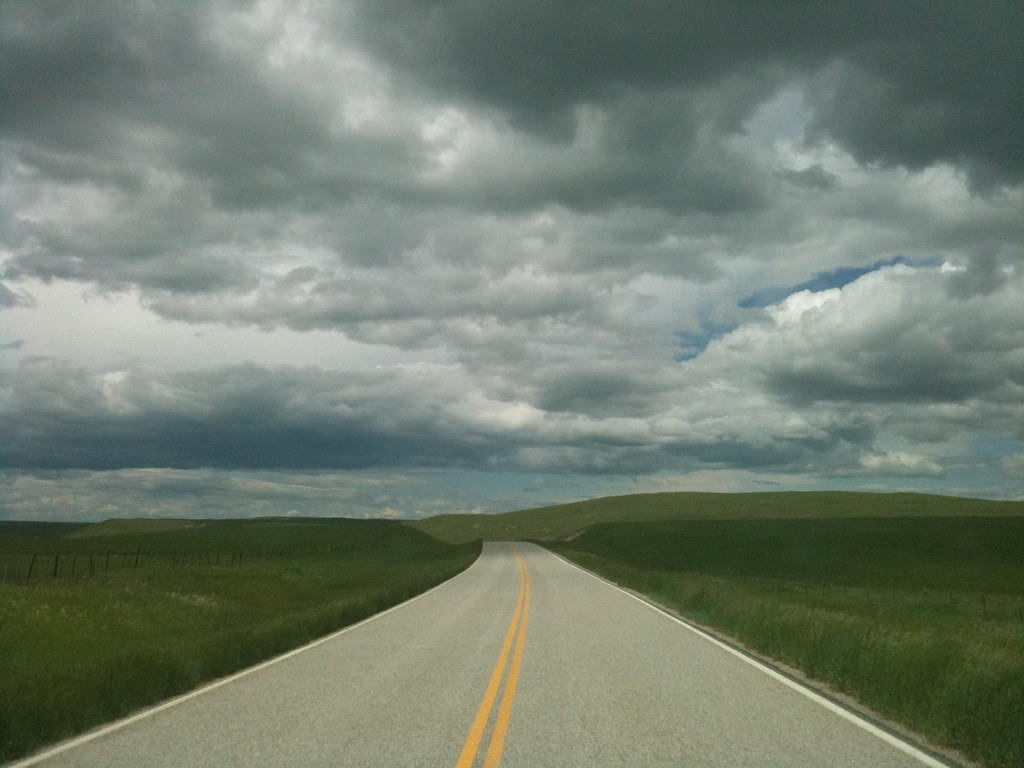
Contours and clouds
Maurice Rises
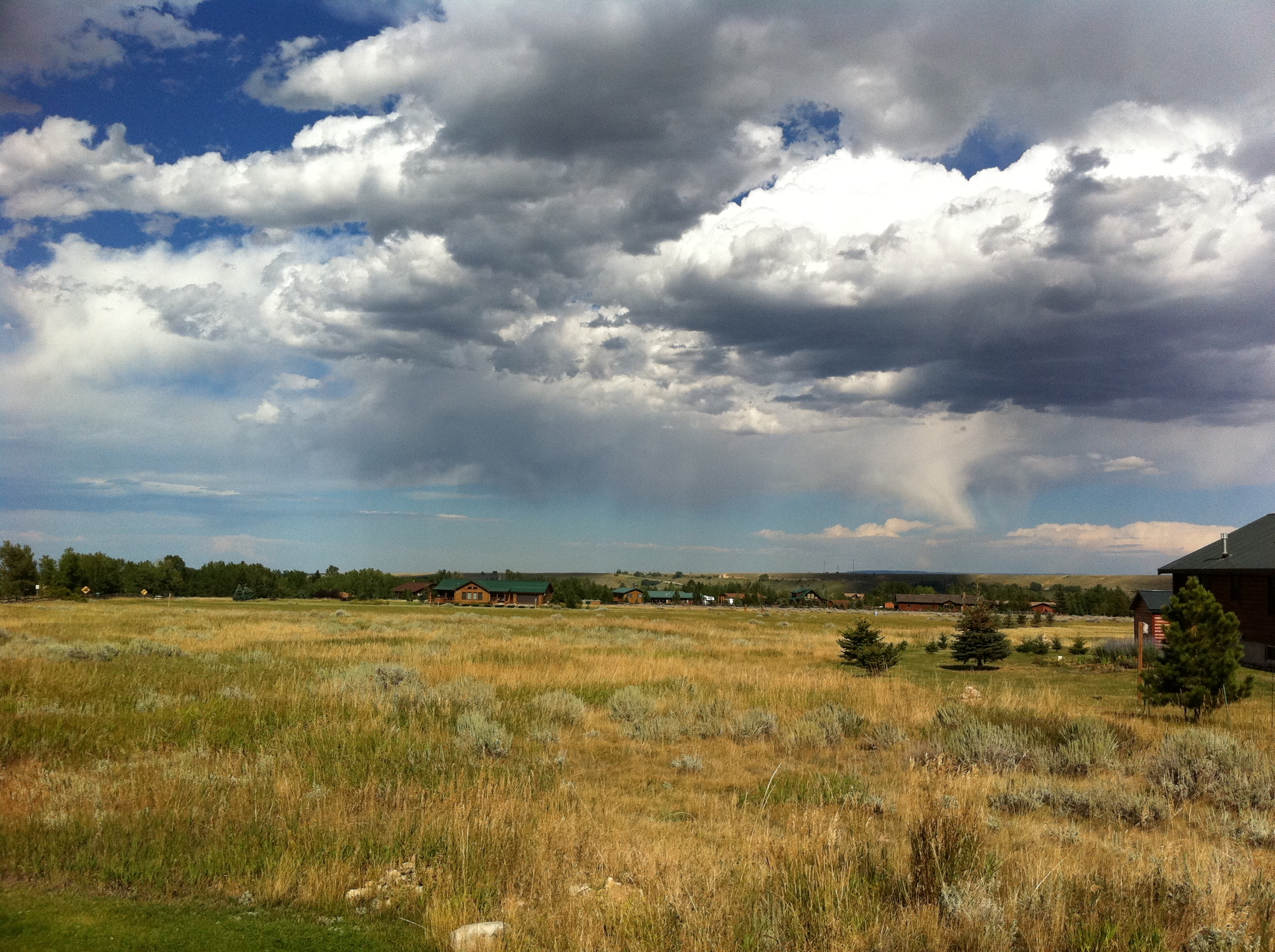
Summer Storm, Carbon County, MT

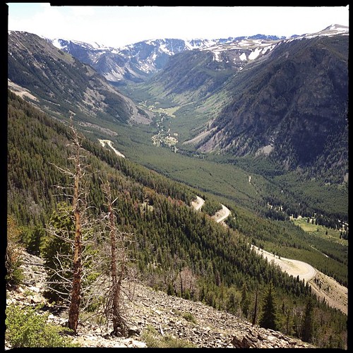
Beartooth Highway, MT.

Field of Gold under Montana Sky
Montana-31
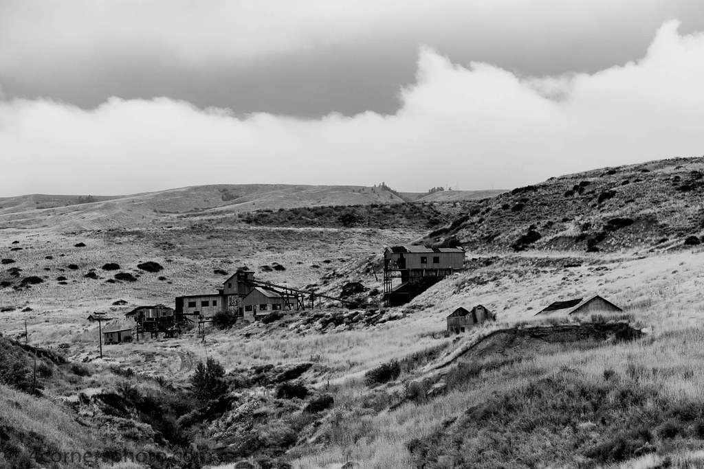
Smith Mine, Bearcreek, MT
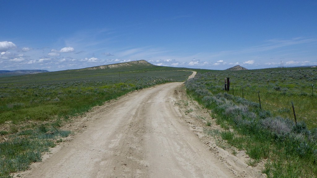
Cottonwood Road
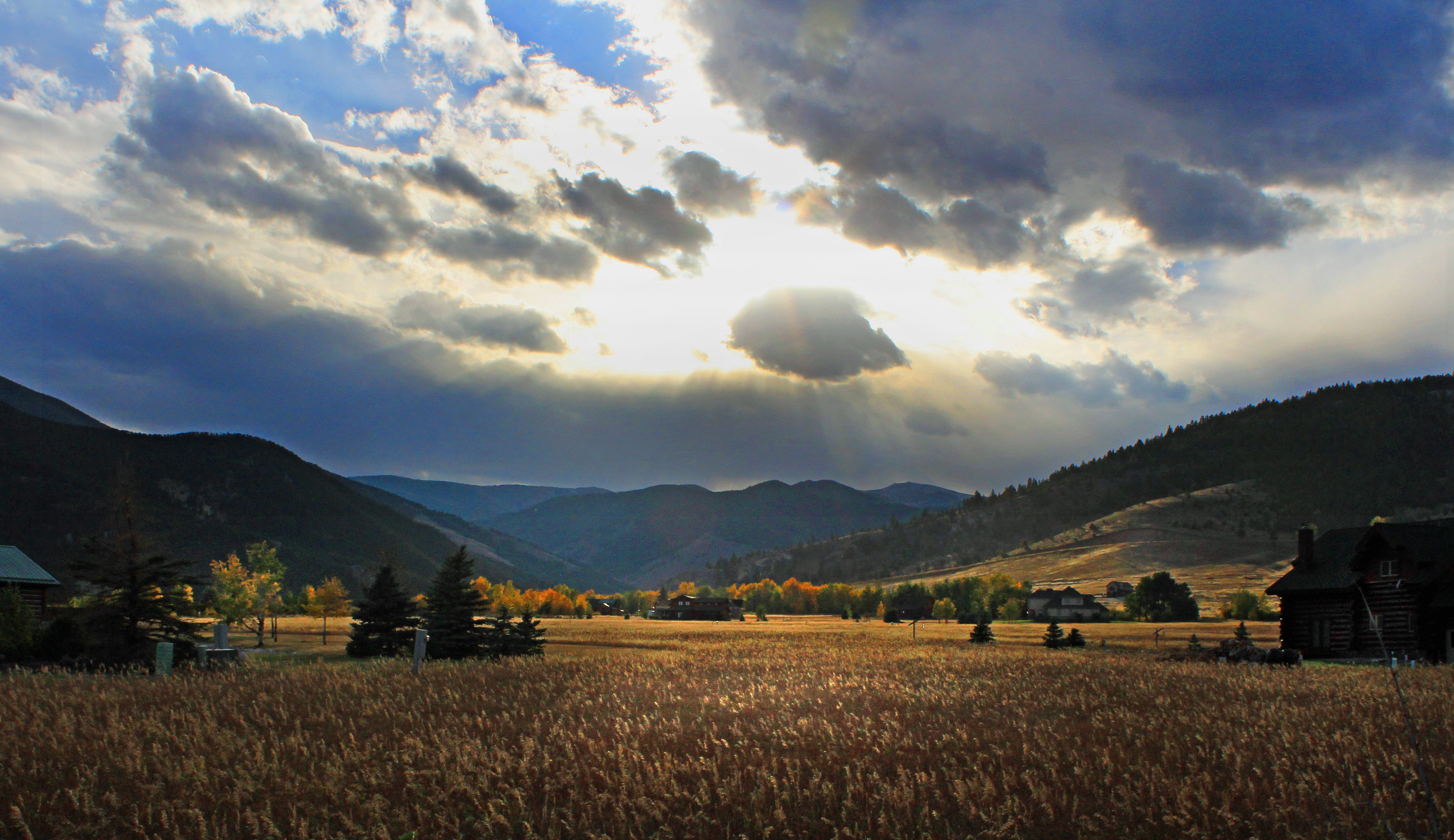
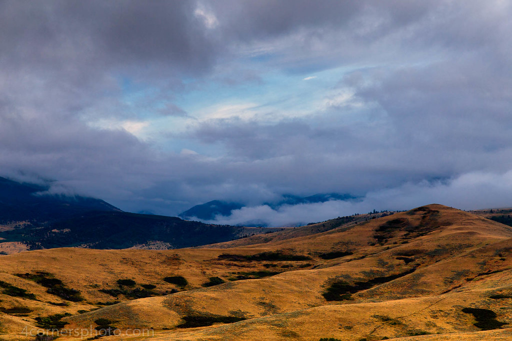
Autumn Storm
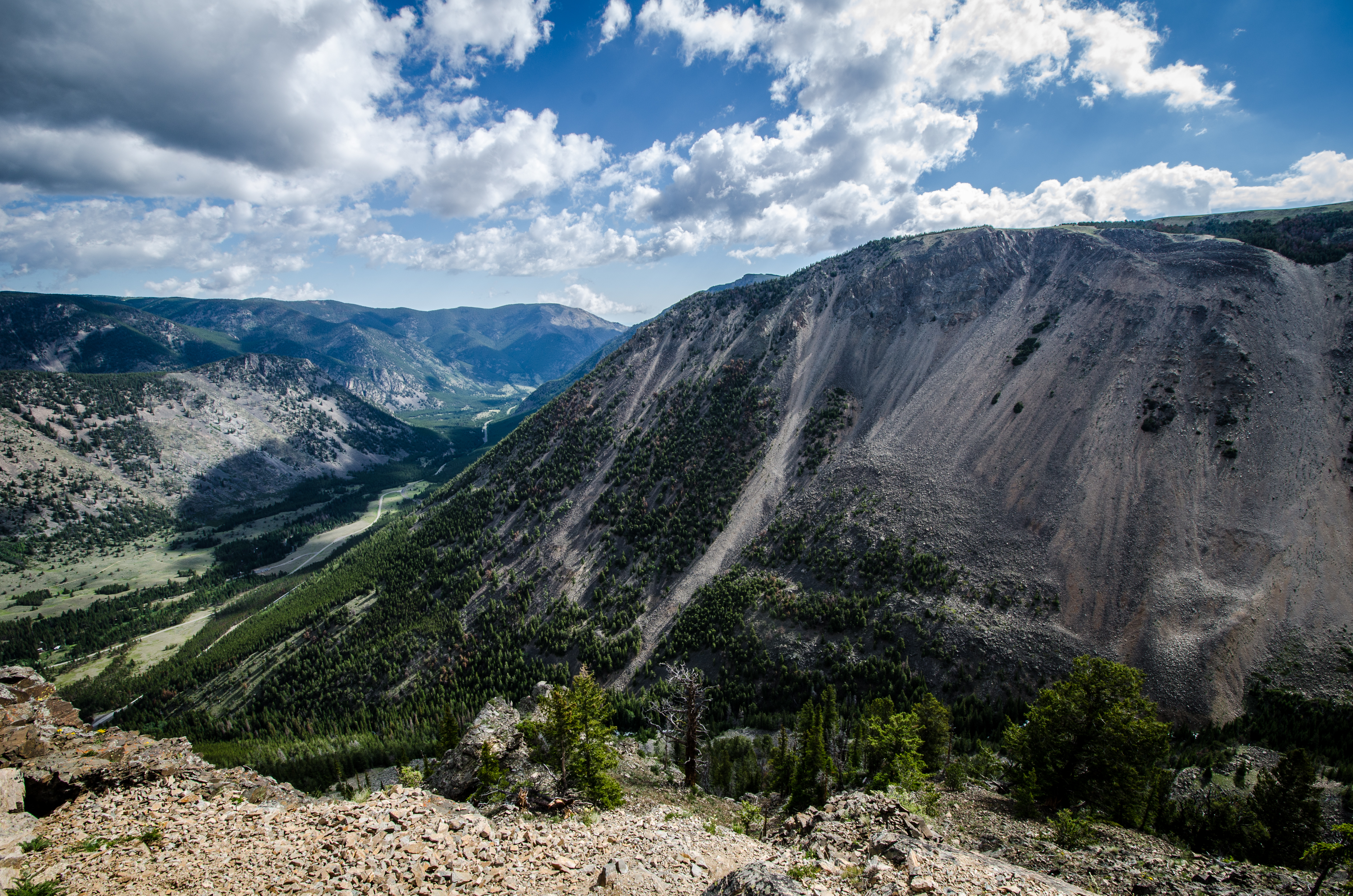
Mountains in Montana - Beartooth Pass
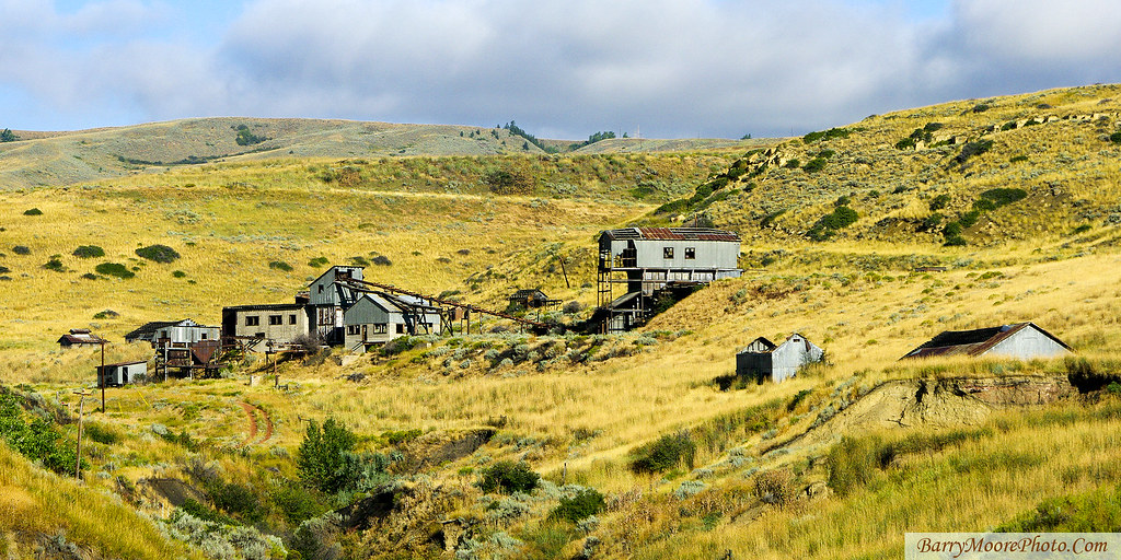
Ghost Mine

The Smith Mine - Montana
Welcome to Montana, Beartooth Highway, MT.
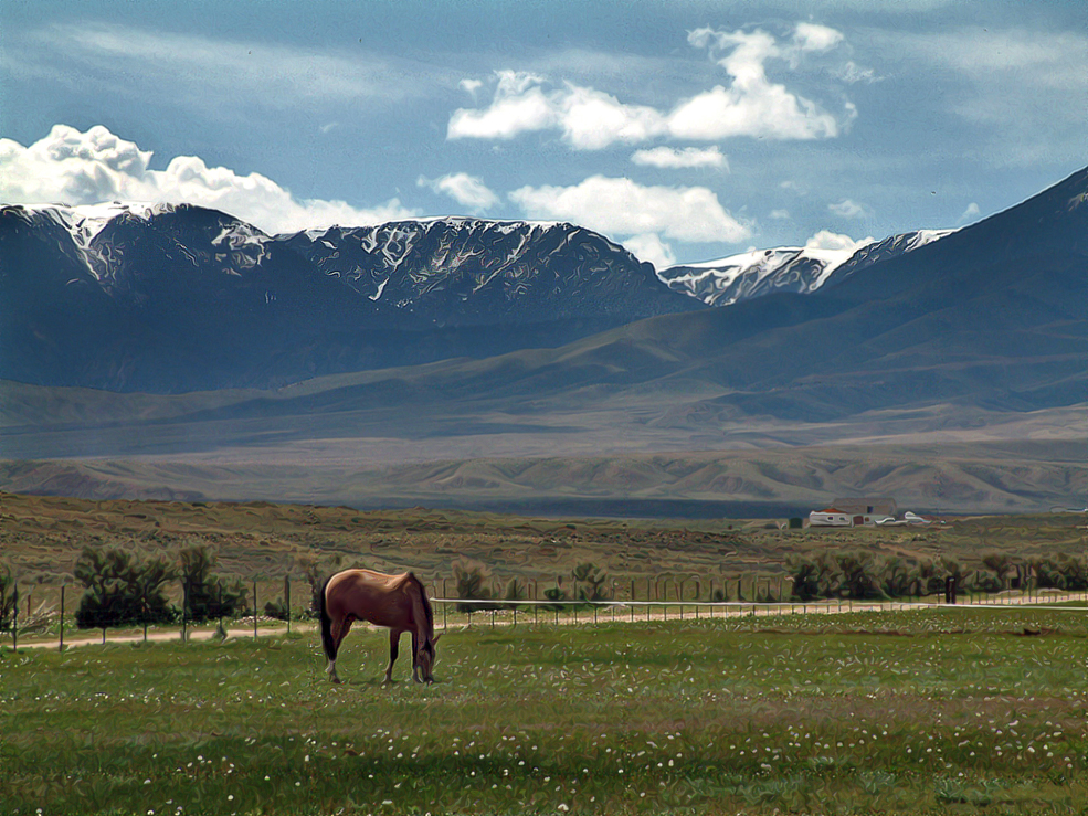
Cooms Ranch

Beartooth Mountains
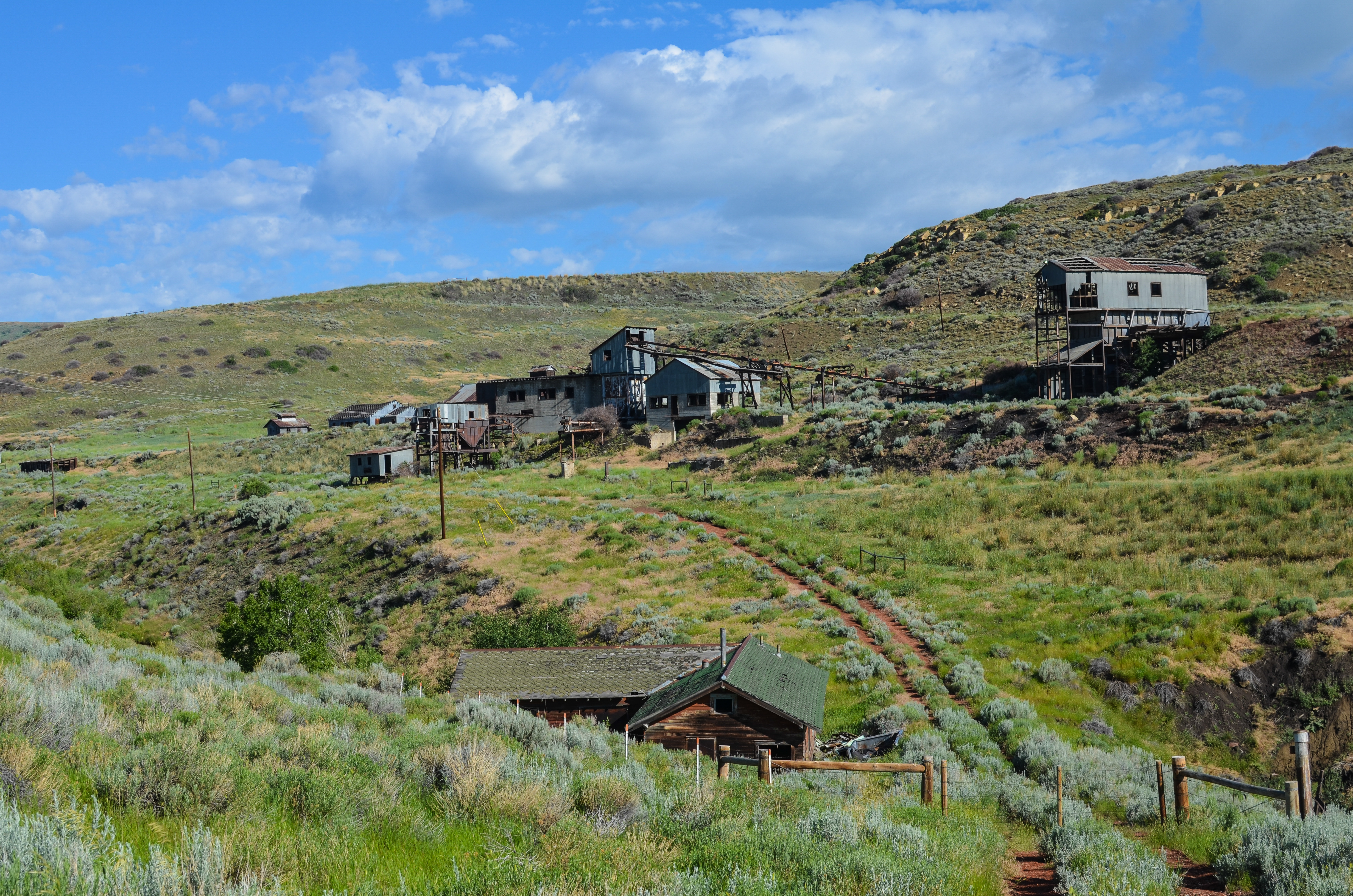
Smith Mine
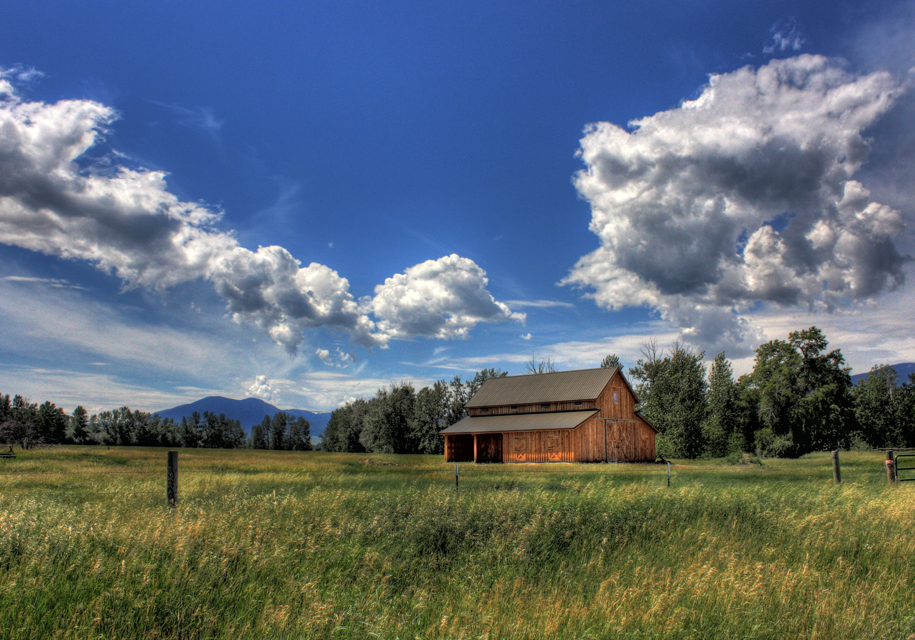
Barn - 2 Mile Bridge
Topographic Map of Carbon County, MT, USA
Find elevation by address:

Places in Carbon County, MT, USA:
Boyd
Bearcreek
Fromberg
Red Lodge
Roberts
MT-78, Roscoe, MT, USA
Bridger
Roscoe
Hillsboro
Richel Lodge
Places near Carbon County, MT, USA:
77 Eagle Point Ln
Roberts
40 Jc Ln
W Main St, Bearcreek, MT, USA
Bearcreek
Belfry
Beartooth All-american Road
Belfry, MT, USA
Red Lodge
11 Mountainbrook Dr
7 1st St, Roberts, MT, USA
Boyd
808 Grant Ave S
Beartooth Hideaway Inn & Cabins
Bridger
1 Pryor Mountain Rd
1 Pryor Mountain Rd
Meeteetse Meadows Road
207 Election Rd
Meeteetse Meadow Road
Recent Searches:
- Elevation of Corso Fratelli Cairoli, 35, Macerata MC, Italy
- Elevation of Tallevast Rd, Sarasota, FL, USA
- Elevation of 4th St E, Sonoma, CA, USA
- Elevation of Black Hollow Rd, Pennsdale, PA, USA
- Elevation of Oakland Ave, Williamsport, PA, USA
- Elevation of Pedrógão Grande, Portugal
- Elevation of Klee Dr, Martinsburg, WV, USA
- Elevation of Via Roma, Pieranica CR, Italy
- Elevation of Tavkvetili Mountain, Georgia
- Elevation of Hartfords Bluff Cir, Mt Pleasant, SC, USA