Elevation of Belfry, MT, USA
Location: United States > Montana > Carbon County > Red Lodge > Belfry >
Longitude: -109.06711
Latitude: 45.1130765
Elevation: 1277m / 4190feet
Barometric Pressure: 87KPa
Elevation Map:
Satellite Map:
Related Photos:
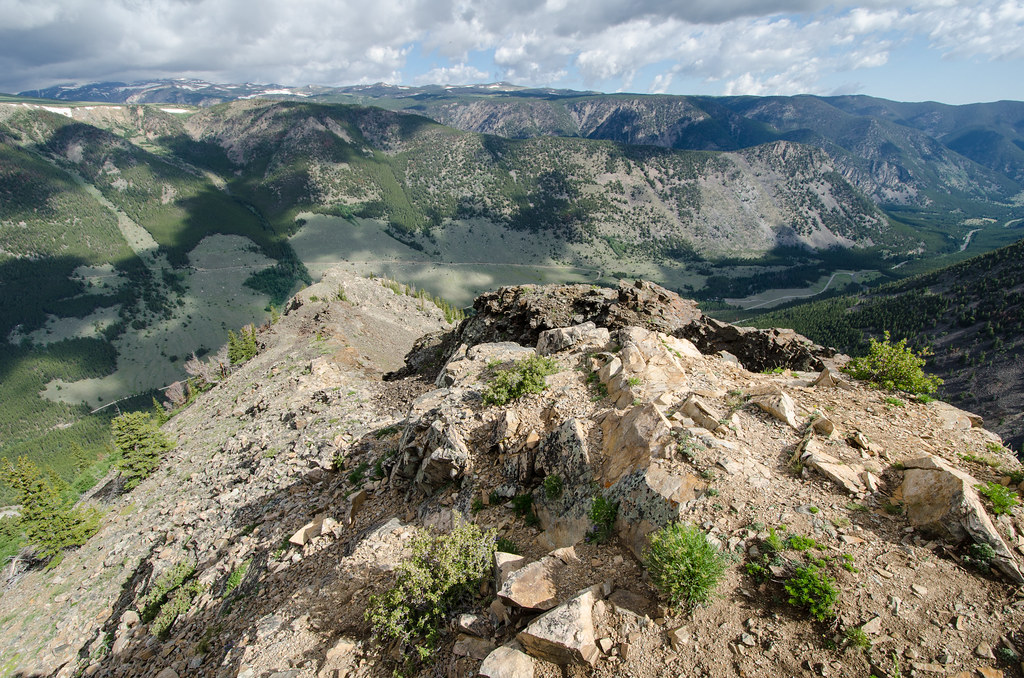
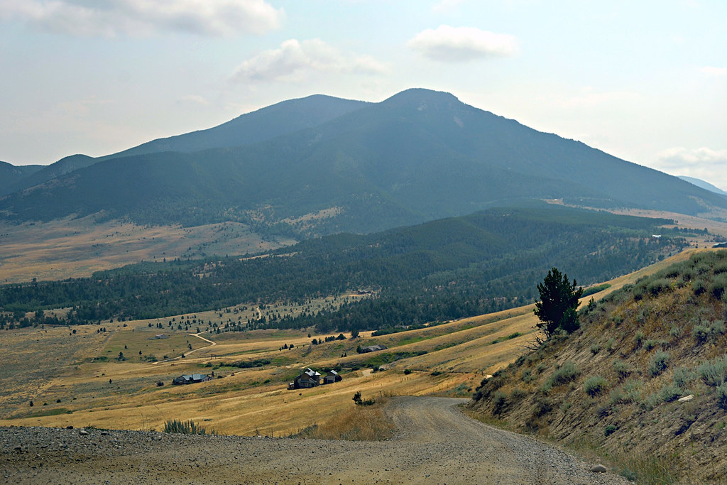
Beartooth Plateau From Belfry
Bearcreek, Montana 59007
Meeteetse Trail
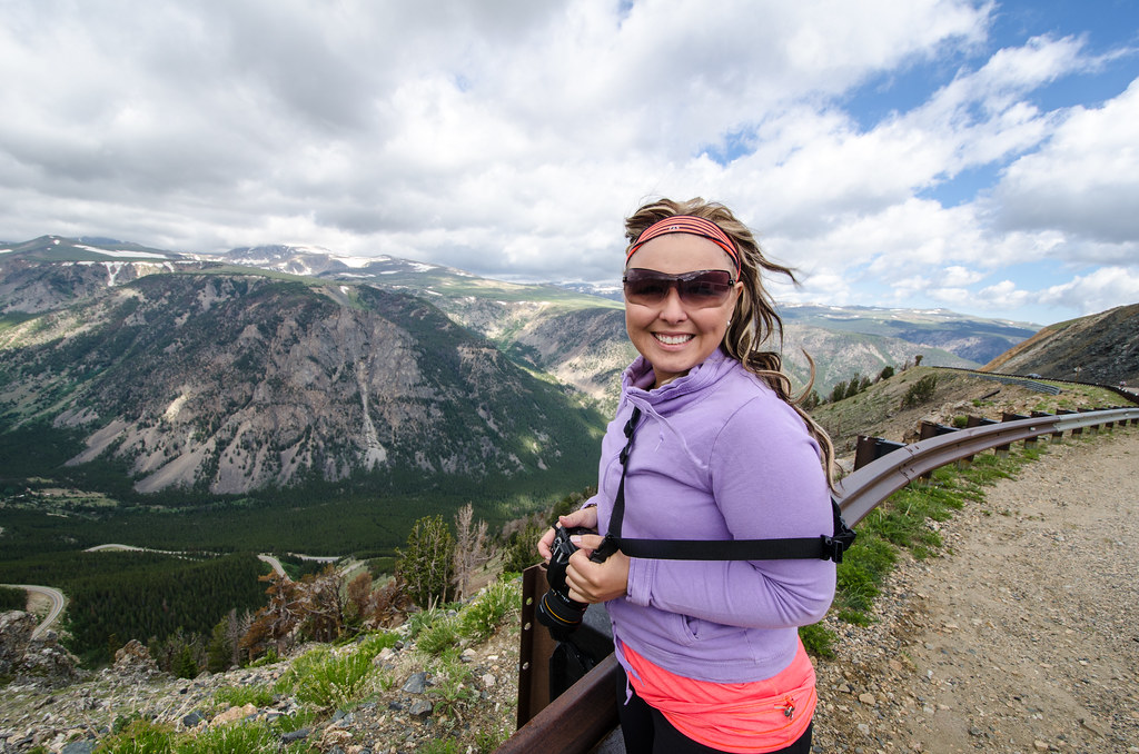
This is a couple we ran into on the Beartooth Highway - what a view!
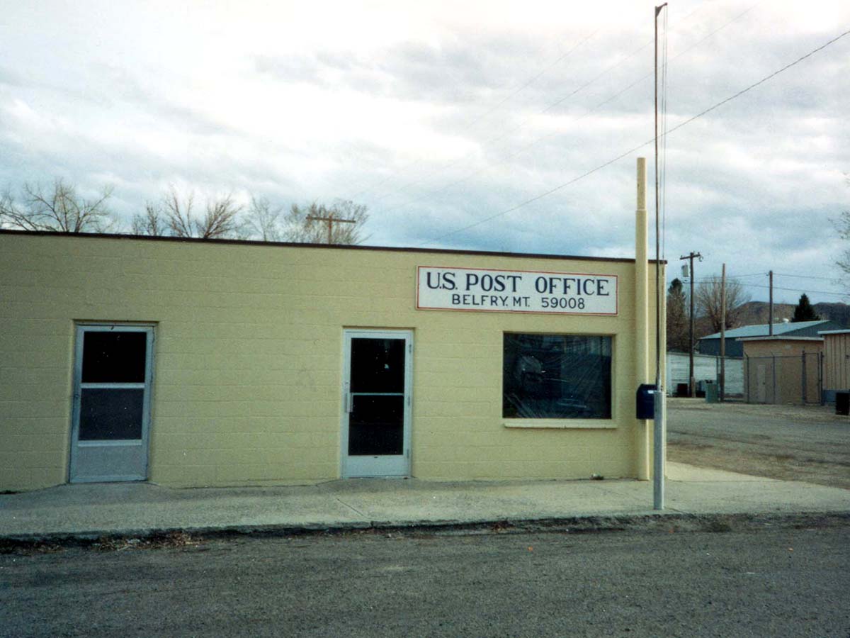
Belfry, Montana 59008.
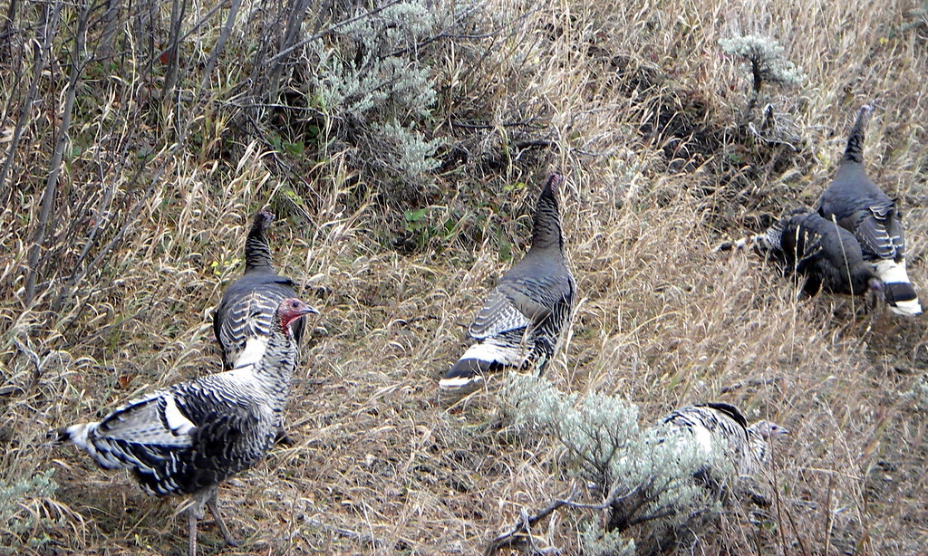
Sage goes with turkey.
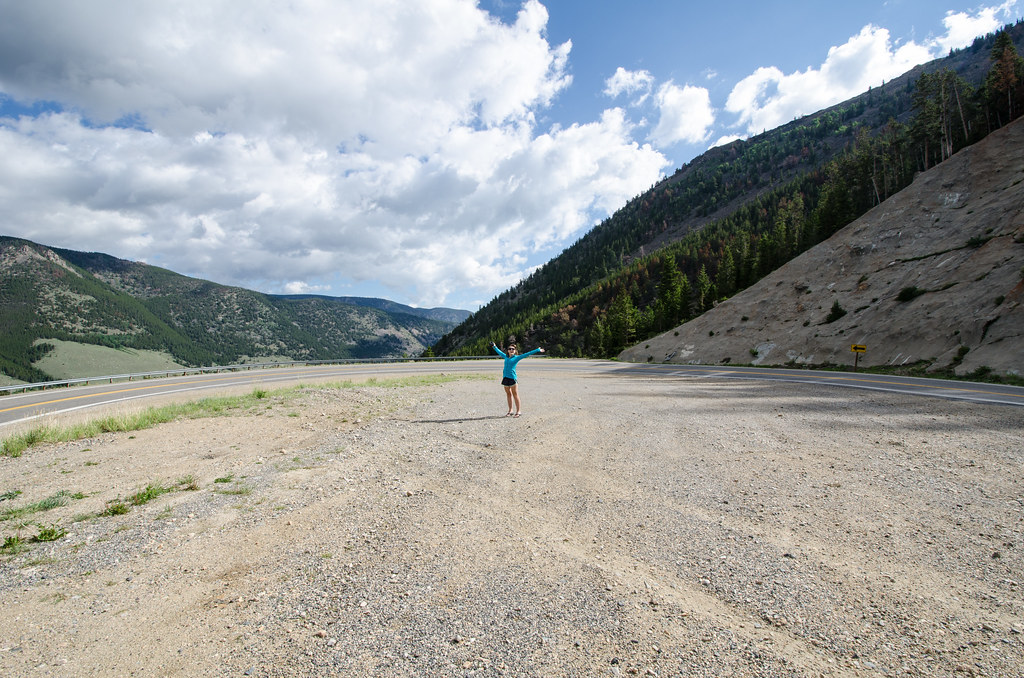
Took a walk on the Beartooth Highway this afternoon. #JOSTICO #visitmontana #beartooth #beartoothhighway #bigsky

Bearcreek, Montana
Red Lodge, Montana 59068
Work Horse
Beartooth Pass
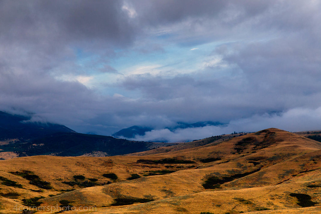
Summer Storm, Carbon County, MT
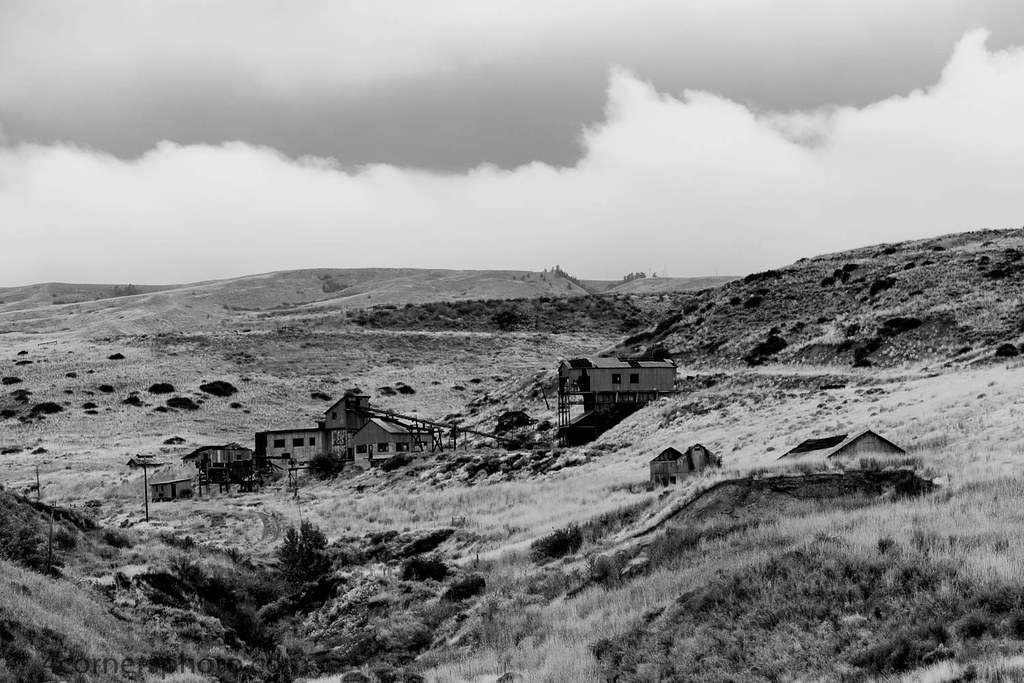
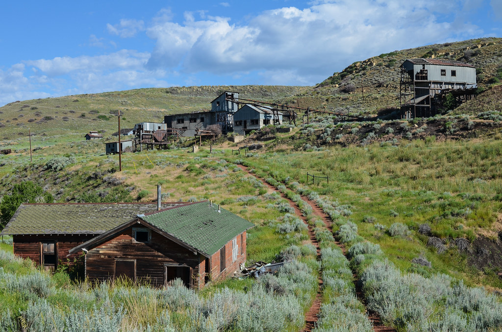
Smith Mine, Bearcreek, MT
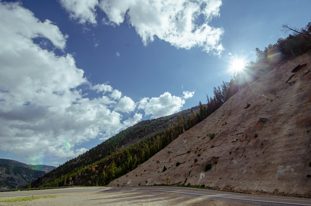
Beartooth Pass - Sunflare over a mountain
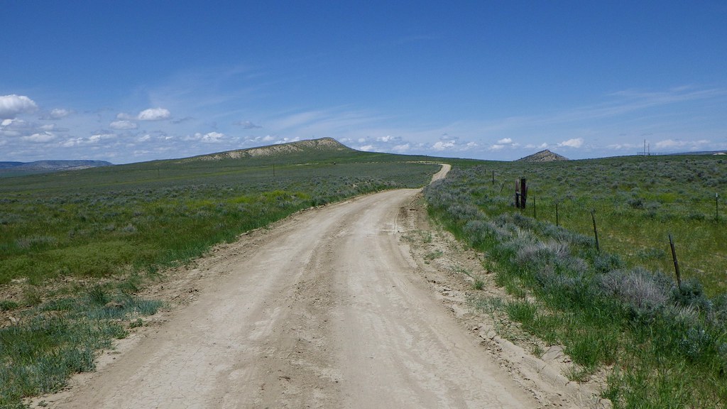
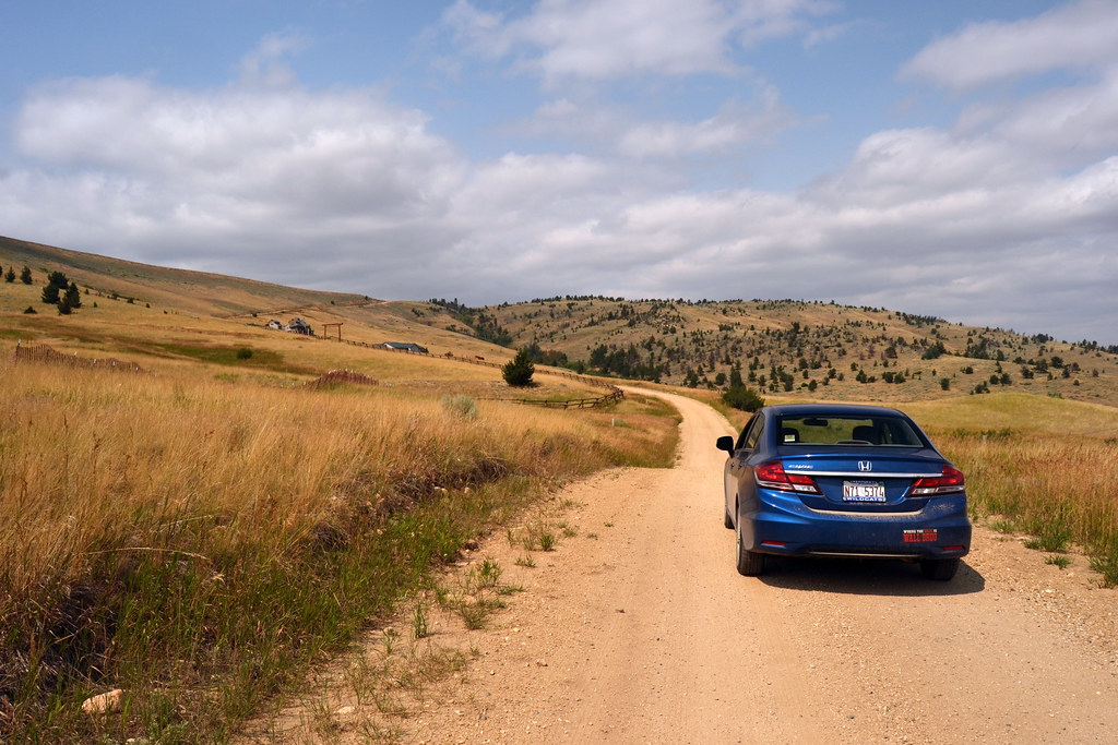
Cottonwood Road
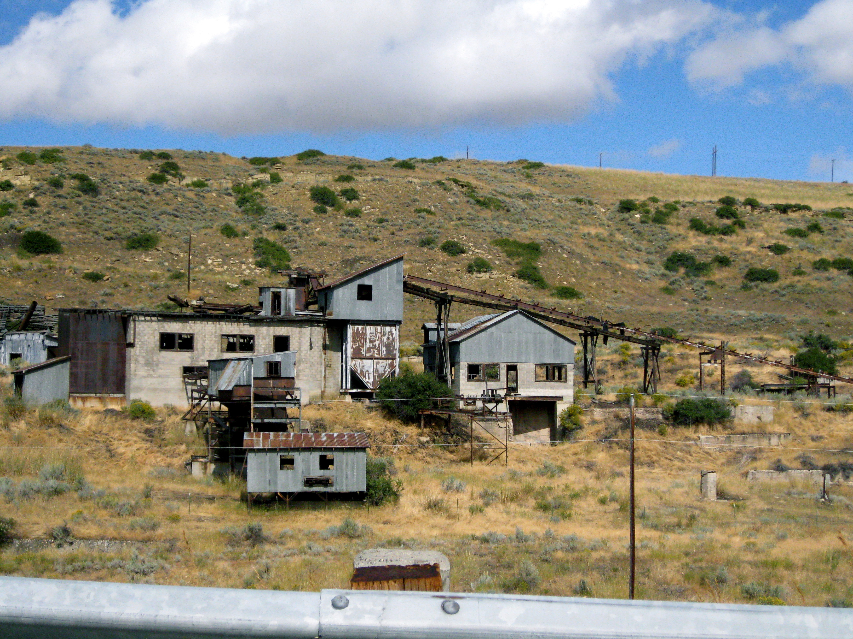
The Smith Mine - Montana
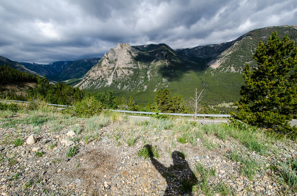
Beartooth Highway + My Shadow
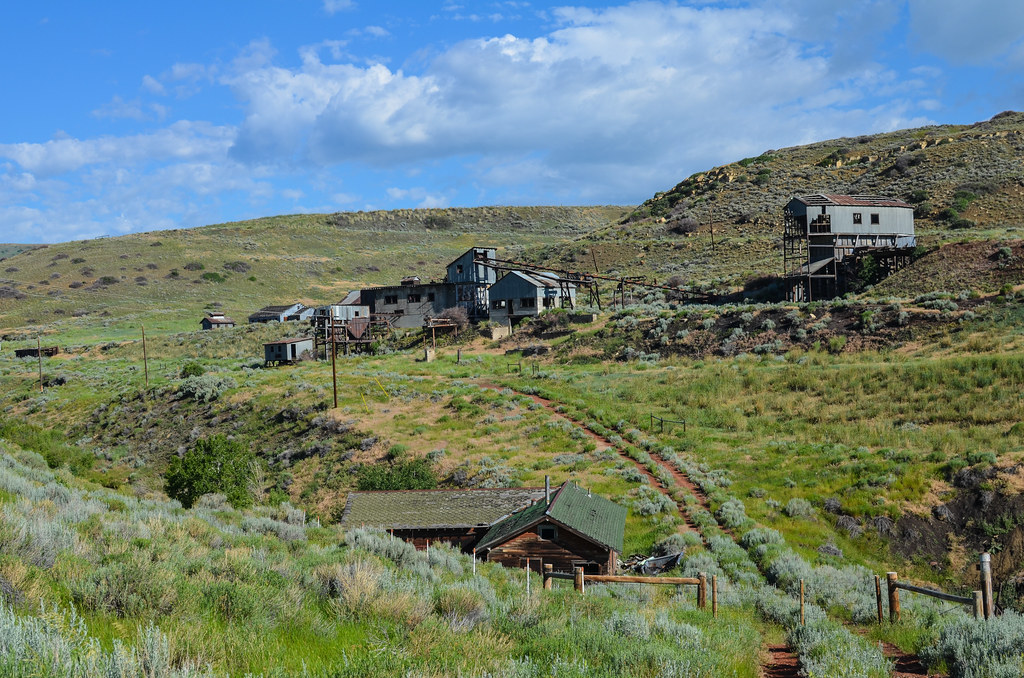
Smith Mine
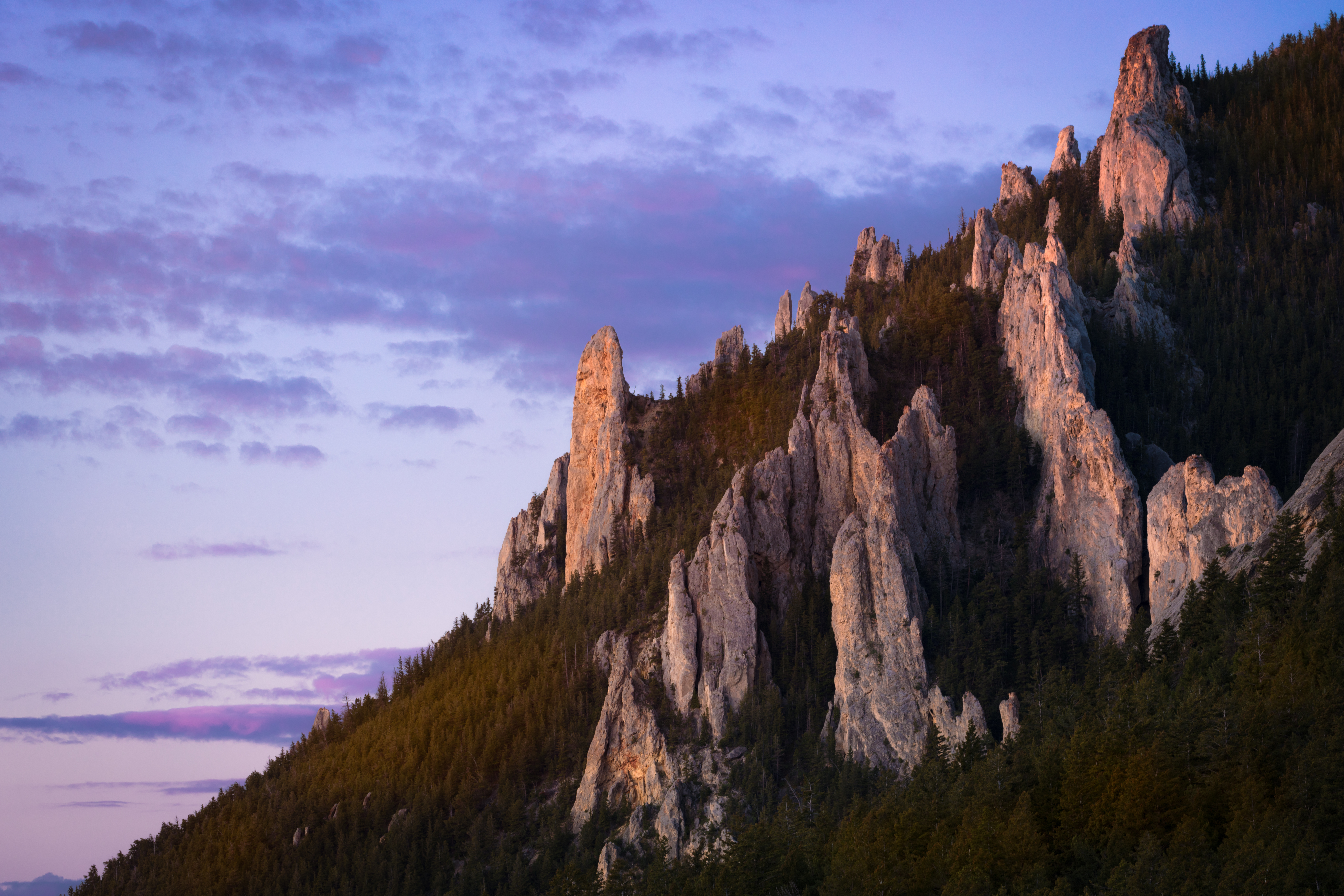
Guards of the Wild
Beartooth Pass
"What are you waiting for?" Signature pic

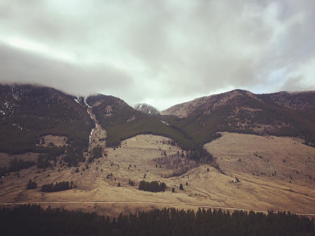
Mountain Splendor
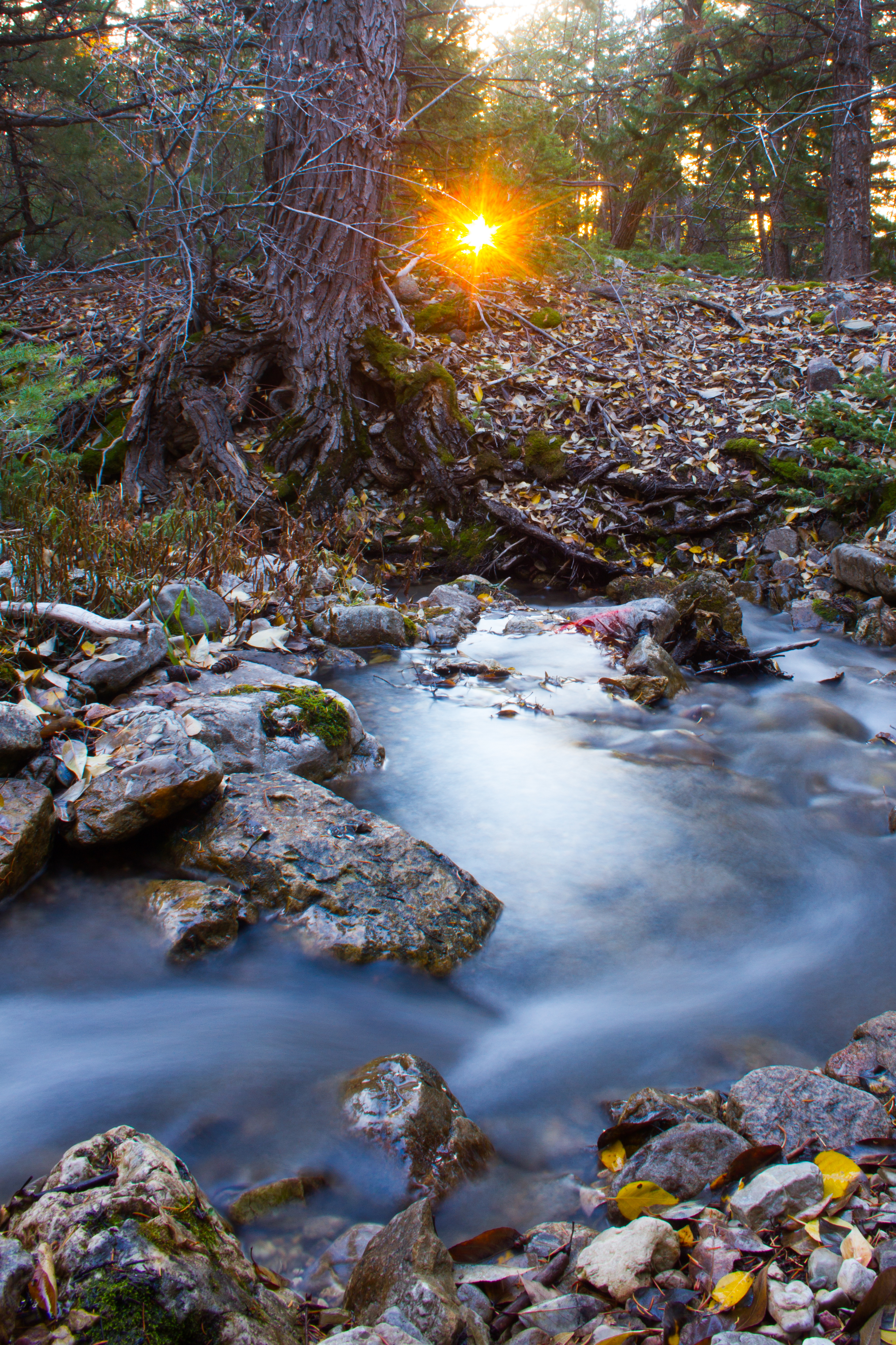
Morning Burst
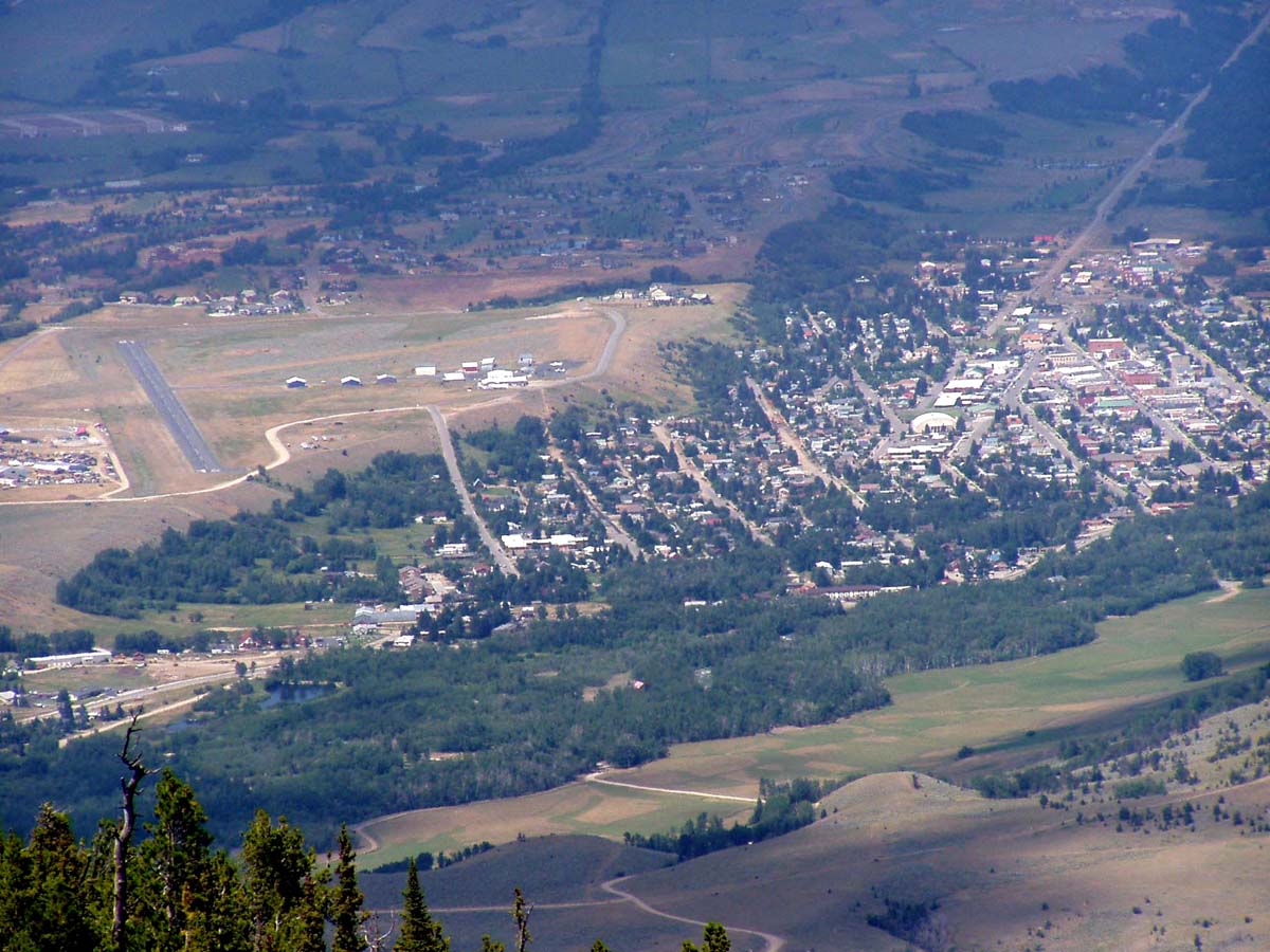
Back in the Valley
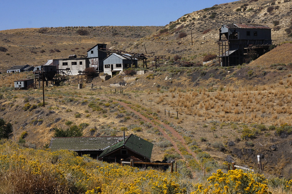
Smith Coal Mine
Smith Mining Disaster Site
Topographic Map of Belfry, MT, USA
Find elevation by address:

Places near Belfry, MT, USA:
Belfry
Bearcreek
W Main St, Bearcreek, MT, USA
Carbon County
Freedom Trail
Red Lodge
Beartooth Hideaway Inn & Cabins
808 Grant Ave S
Beartooth All-american Road
Meeteetse Meadow Road
Meeteetse Meadows Road
25 Jones Ln
11 Mountainbrook Dr
Waples Drive
1 Pryor Mountain Rd
1 Pryor Mountain Rd
3 Lower Wapiti Valley Rd
77 Eagle Point Ln
Bridger
Sheridan
Recent Searches:
- Elevation of Tenjo, Cundinamarca, Colombia
- Elevation of Côte-des-Neiges, Montreal, QC H4A 3J6, Canada
- Elevation of Bobcat Dr, Helena, MT, USA
- Elevation of Zu den Ihlowbergen, Althüttendorf, Germany
- Elevation of Badaber, Peshawar, Khyber Pakhtunkhwa, Pakistan
- Elevation of SE Heron Loop, Lincoln City, OR, USA
- Elevation of Slanický ostrov, 01 Námestovo, Slovakia
- Elevation of Spaceport America, Co Rd A, Truth or Consequences, NM, USA
- Elevation of Warwick, RI, USA
- Elevation of Fern Rd, Whitmore, CA, USA