Elevation of Richel Lodge, MT, USA
Location: United States > Montana > Carbon County >
Longitude: -109.37543
Latitude: 45.0818893
Elevation: 2044m / 6706feet
Barometric Pressure: 79KPa
Elevation Map:
Satellite Map:
Related Photos:

Twin Lakes, Beartooth Pass

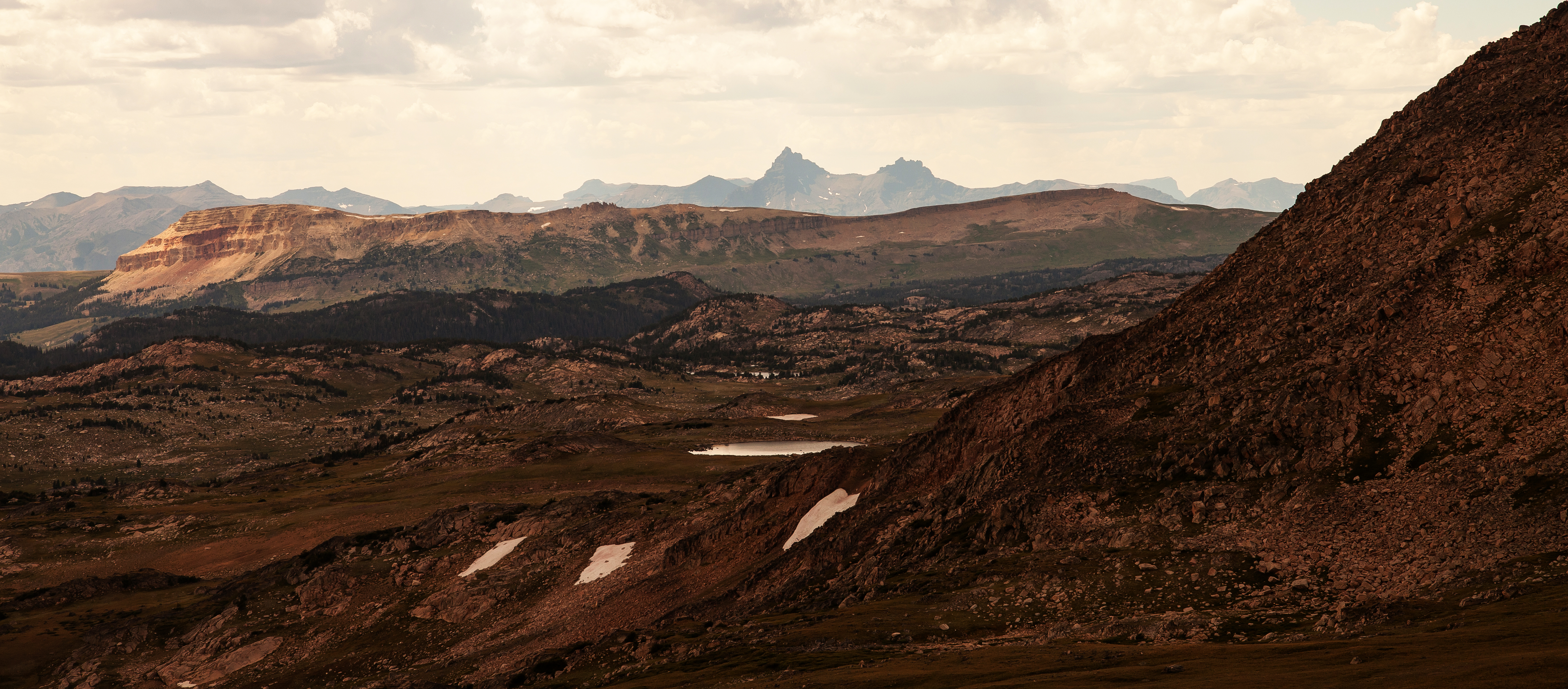
High Plateau

Moon Creek Glacial Valley and Cirque

View Of Twin Lakes Basin

Twin Lakes

Beartooth Plateau Ridge

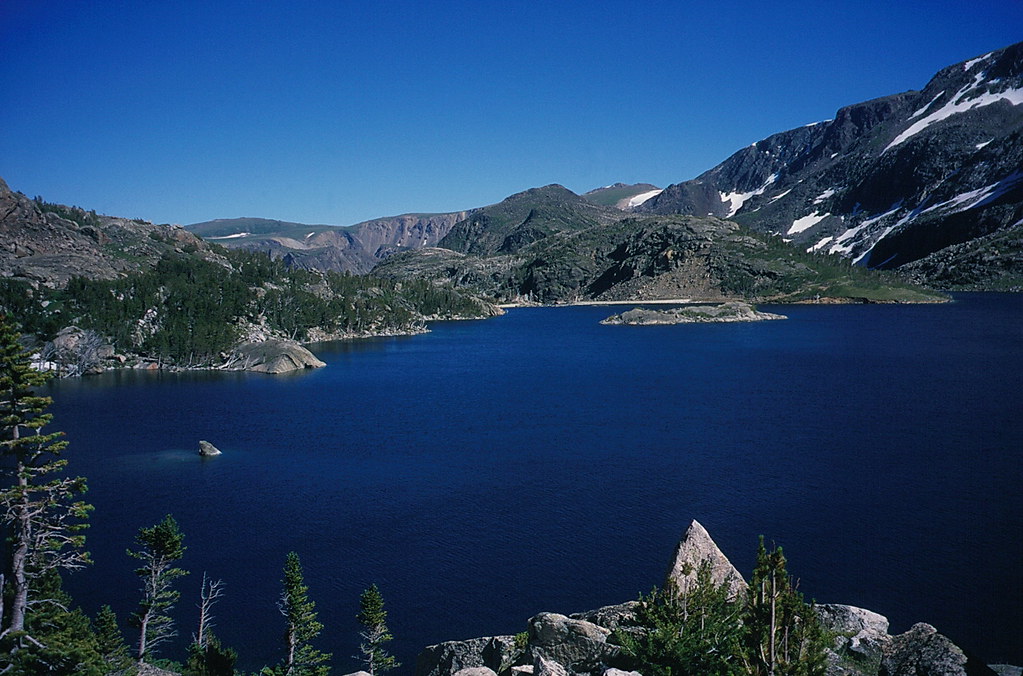
Mirror Lake

Another View

Twin Lakes

Beartooth Highway

Beartooth Plateau Ridge Annotated

Beartooth Jewels

Beartooth Plateau Vista

The bear's tooth

View Along The Beartooth Highway

Day 239/365 2017-08-27 Mountain Goats

High-Country Noon

Beartooth Etching

View Into Rock Creek Canyon

Beartooth Hwy @ 11,000 ft

Snow in summer along the Beartooth Pass (US Highway 212), along with beautiful alpine mountain views in Montana and Wyoming

Snowy Peaks

Gardner Lake

Gardner Lake
Pilot and Index Peaks

July 18 2014 - The most beautiful ride in the world

Gardner Lake
Glacier Lake

Gardner Lake

Lights Out

Aug 11 2016 - Learning to Fly from Rock Creek Vista Point

Top Of The Beartooth Plateau

Looking down from "The Top Of The World"

Greenough Lake Reflection

Basin of Light

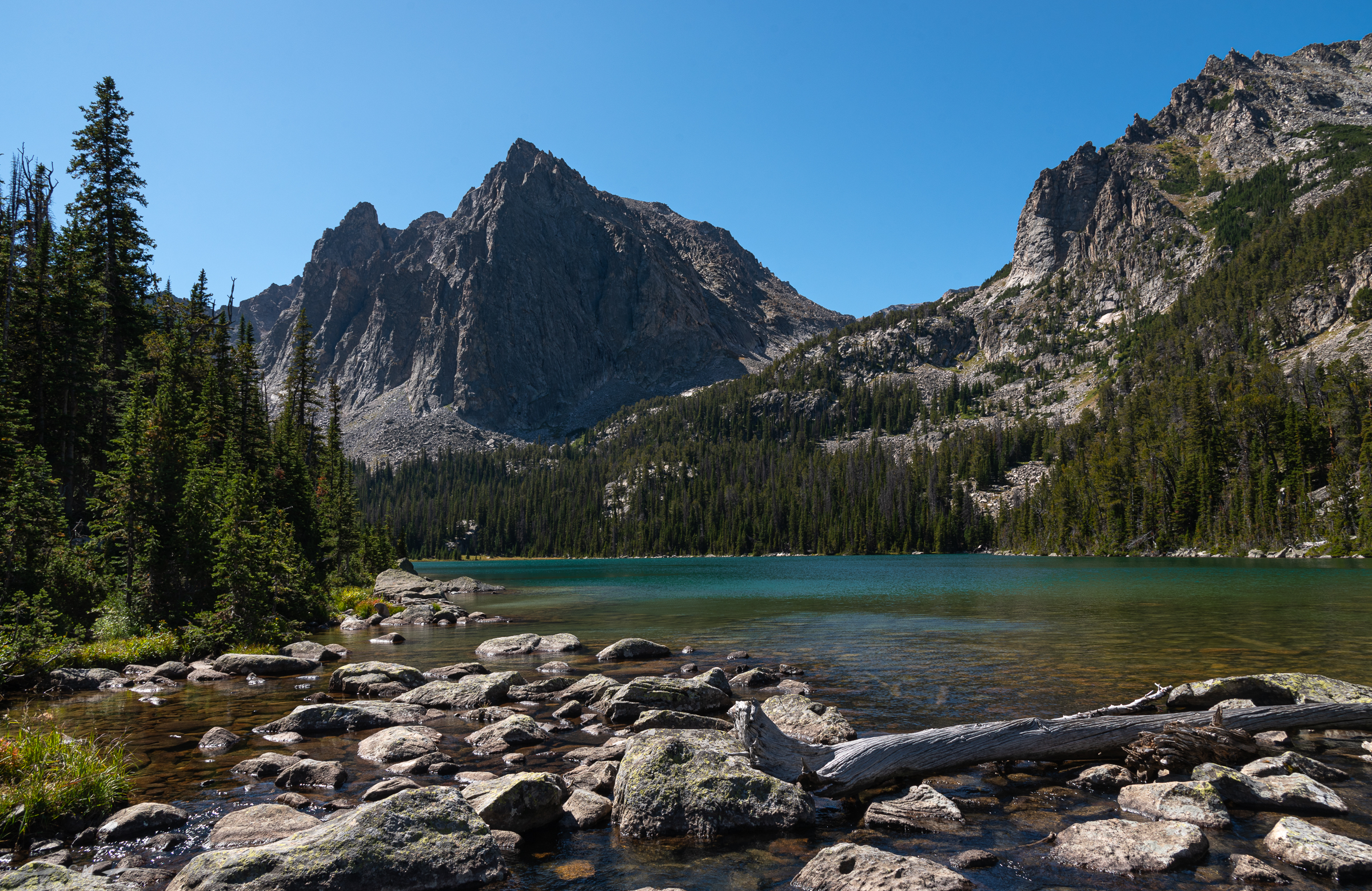
Lake of the Winds
Crow Lake Aquamarine

_MG_1518.jpg
Topographic Map of Richel Lodge, MT, USA
Find elevation by address:

Places near Richel Lodge, MT, USA:
130 Spring Creek Rd
Greenough Lake Campground
447 Bull Moose Ln
447 Bull Moose Ln
447 Bull Moose Ln
447 Bull Moose Ln
35 Bull Moose Ln
205 East Side Rd
Sheridan
42 Silver Run Rd
Basin Campground
Hellroaring Plateau Trailhead
3 Lower Wapiti Valley Rd
Waples Drive
25 Jones Ln
Meeteetse Meadow Road
Meeteetse Meadows Road
Beartooth Hideaway Inn & Cabins
808 Grant Ave S
Freedom Trail
Recent Searches:
- Elevation of Jadagoniai, Kaunas District Municipality, Lithuania
- Elevation of Pagonija rock, Kranto 7-oji g. 8"N, Kaunas, Lithuania
- Elevation of Co Rd 87, Jamestown, CO, USA
- Elevation of Tenjo, Cundinamarca, Colombia
- Elevation of Côte-des-Neiges, Montreal, QC H4A 3J6, Canada
- Elevation of Bobcat Dr, Helena, MT, USA
- Elevation of Zu den Ihlowbergen, Althüttendorf, Germany
- Elevation of Badaber, Peshawar, Khyber Pakhtunkhwa, Pakistan
- Elevation of SE Heron Loop, Lincoln City, OR, USA
- Elevation of Slanický ostrov, 01 Námestovo, Slovakia