Elevation of Chief Plenty Coups State Park, 1 Pryor Rd, Pryor, MT, USA
Location: United States > Montana > Big Horn County > Pryor >
Longitude: -108.54859
Latitude: 45.4282704
Elevation: 1237m / 4058feet
Barometric Pressure: 87KPa
Elevation Map:
Satellite Map:
Related Photos:
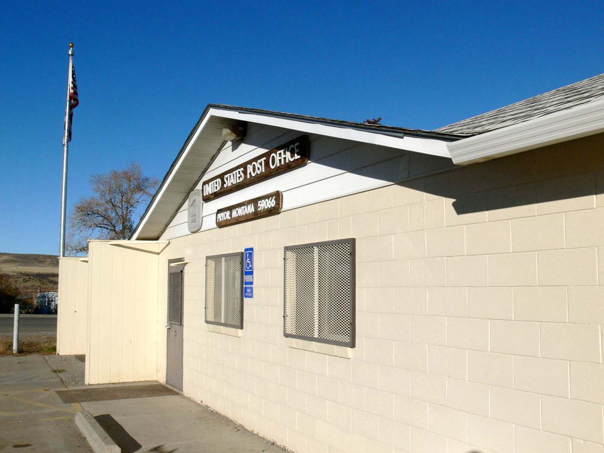
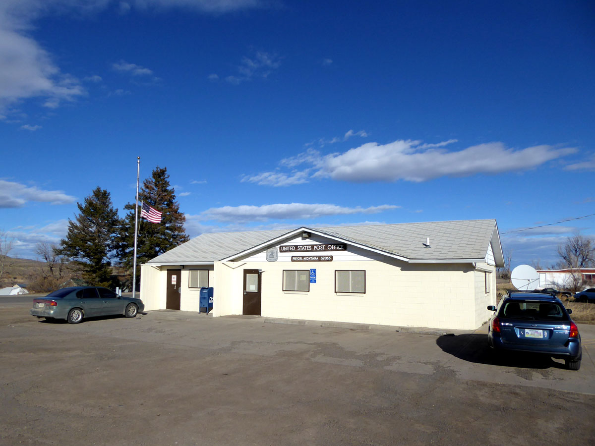
Pryor, Montana 59066
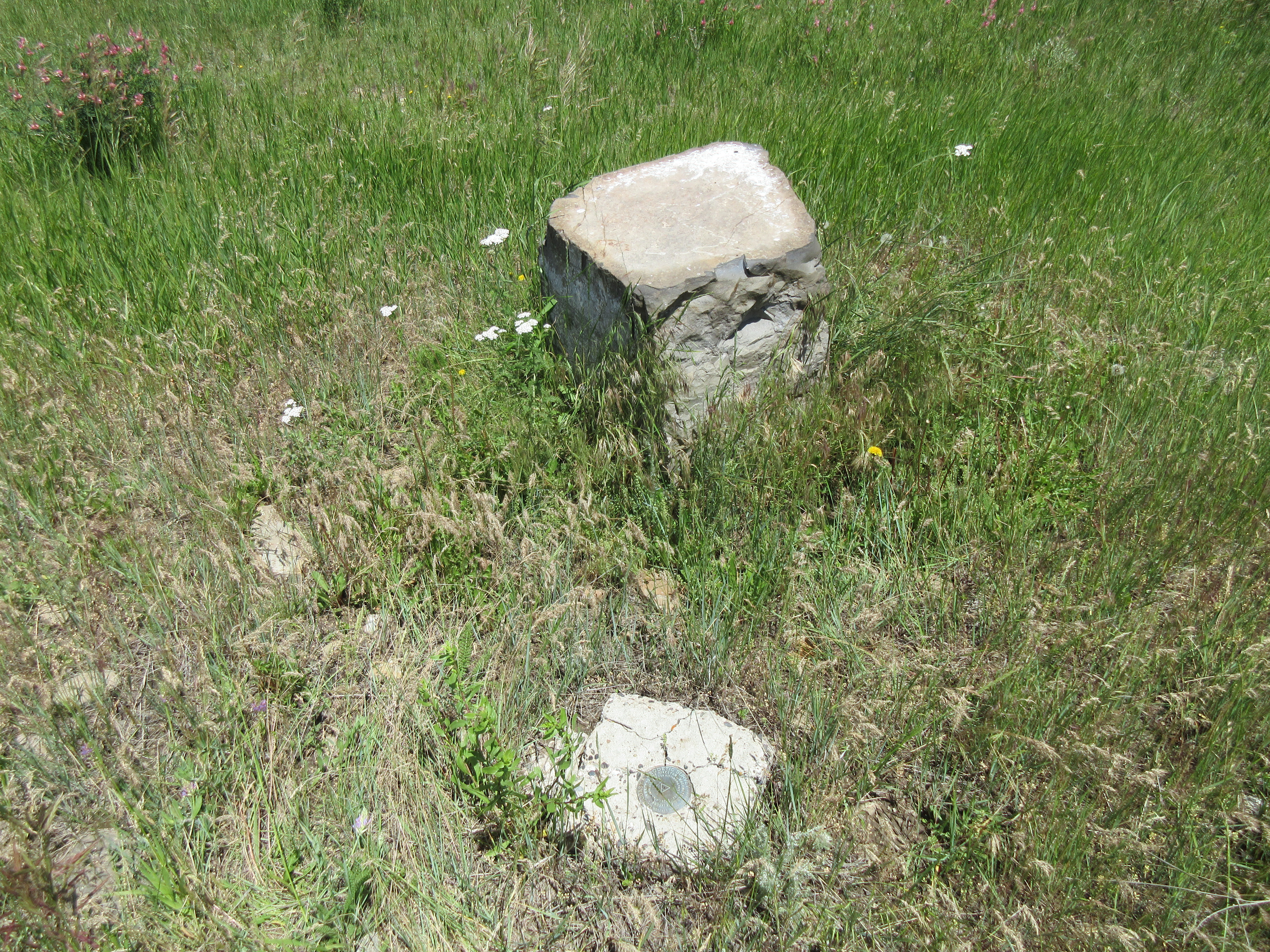
Stratford Hill, 2018_06_24
Lonesome Spur pics - Steve
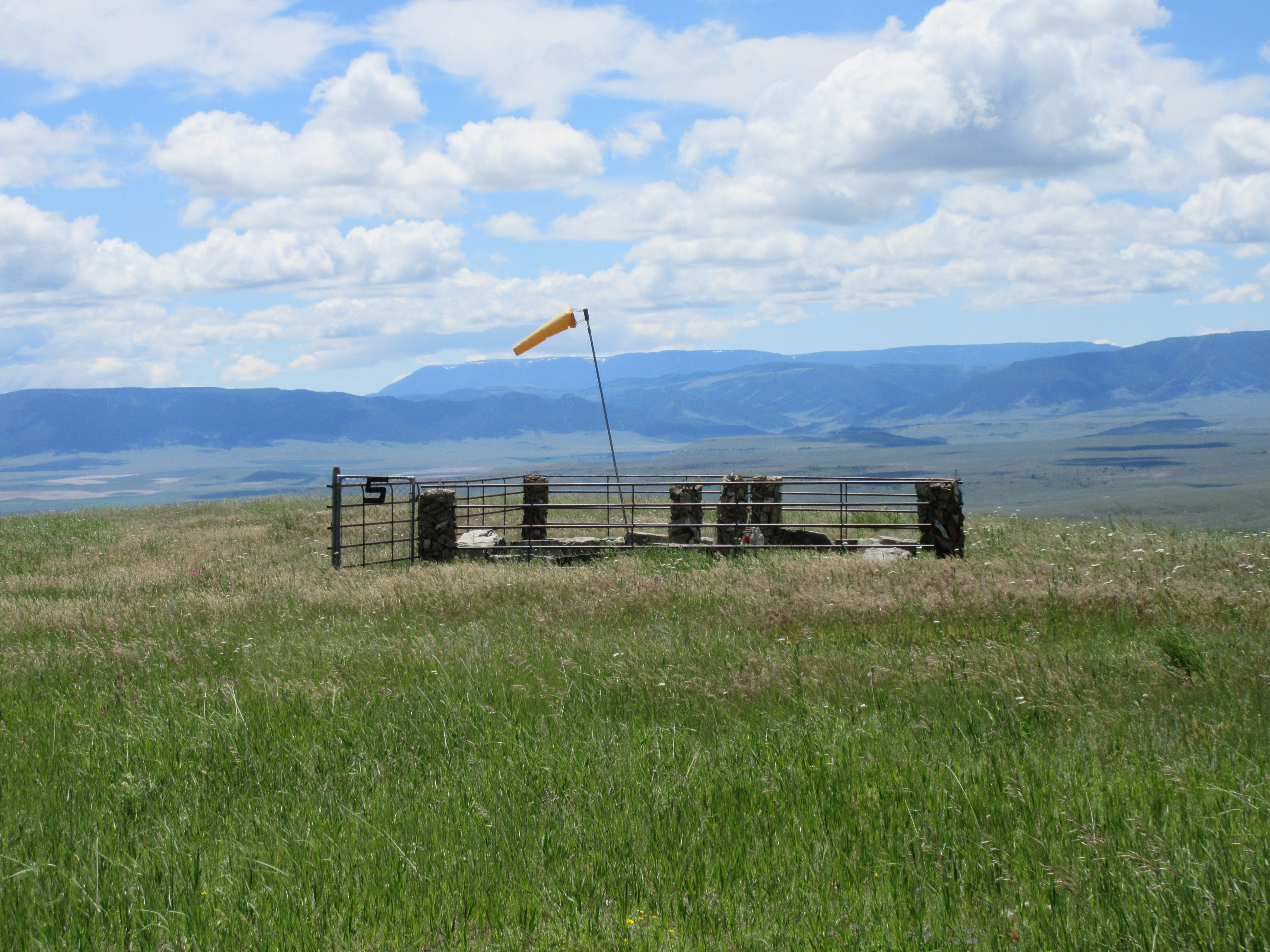
Stratford Hill, 2018_06_24
Stratford Hill, 2018_06_24
Stratford Hill, 2018_06_24
Pryor, Montana 59066
Topographic Map of Chief Plenty Coups State Park, 1 Pryor Rd, Pryor, MT, USA
Find elevation by address:

Places near Chief Plenty Coups State Park, 1 Pryor Rd, Pryor, MT, USA:
Pryor
Billings, MT, USA
Hillcrest Road & Collier Road
Laurel, MT, USA
1929 Weldon Rd
Interstate 90
2 Gebhardt Ln
Grizzly Trail, Laurel, MT, USA
Neibauer Rd, Billings, MT, USA
1713 Hollyhock St
2225 S 44th St W
1444 Chesapeake Ln
1875 Ridge Dr
Laurel
3401 Coburn Rd
3900 Olympic Blvd
Pryor Mountains
547 Garden Ave
West End
501 South 44th St W
Recent Searches:
- Elevation of Sunset Dr, Hernando, MS, USA
- Elevation of Lake Rotoroa, Tasman, New Zealand
- Elevation of George St, New Bern, NC, USA
- Elevation of Cove Rd, Jasper, GA, USA
- Elevation of Cove Rd, Jasper, GA, USA
- Elevation of South Yankee Meadow Road, Forest Road, Paragonah, UT, USA
- Elevation of SW Elderview Dr, Sherwood, OR, USA
- Elevation of Hickory St, Greenville, NC, USA
- Elevation of Poplar Ln, Guffey, CO, USA
- Elevation of Falling Spring Rd, Clyde, NC, USA