Elevation of Ridge Dr, Laurel, MT, USA
Location: United States > Montana > Yellowstone County > Laurel >
Longitude: -108.74493
Latitude: 45.6826047
Elevation: 1013m / 3323feet
Barometric Pressure: 90KPa
Elevation Map:
Satellite Map:
Related Photos:

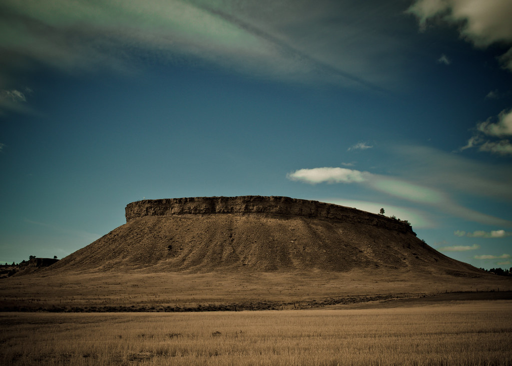
The Rims 8-7-2009
Mossmain, Montana

Winter Fields 12-29-2012

Winter 12-29-2012 3

View From My Neighborhood 6-16-2008
PenskeOne-186.jpg

Mule Deer 12-29-2012 2

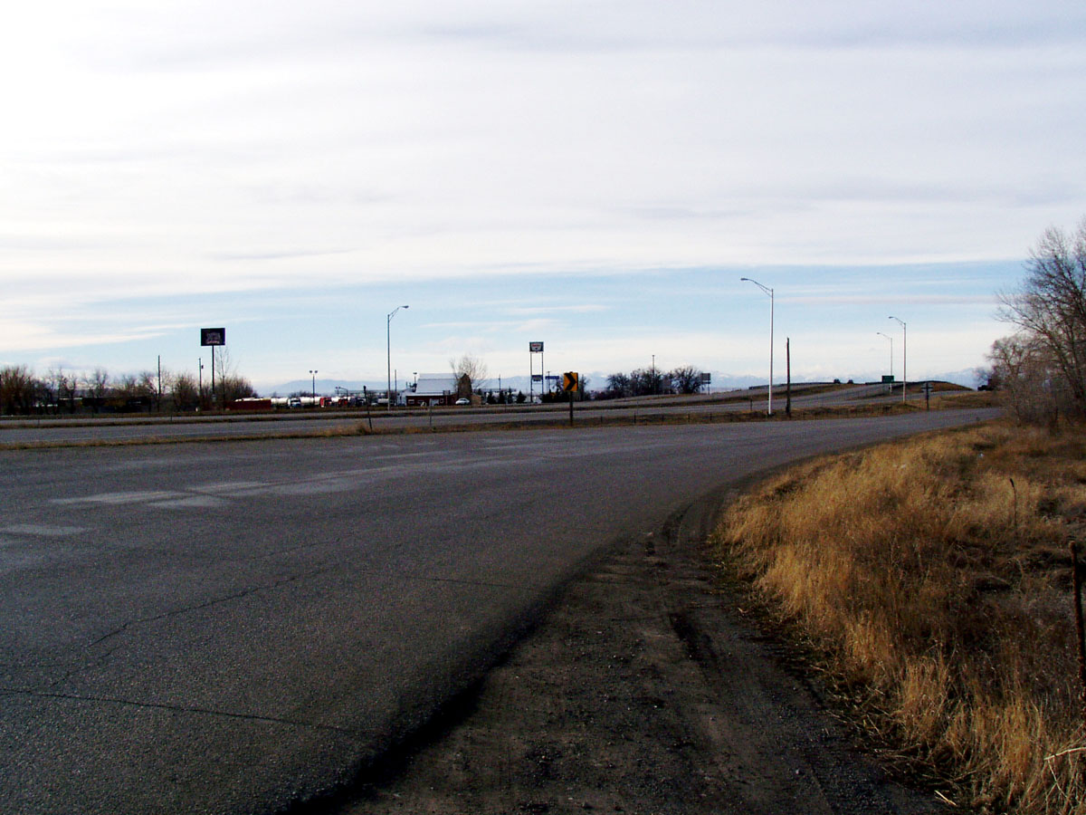
A view from the ground level

Park City, Montana 59063

Winter Fields 12-29-2012 2

Winter Road 12-29-2012

View From My Neighborhood 6-16-2008
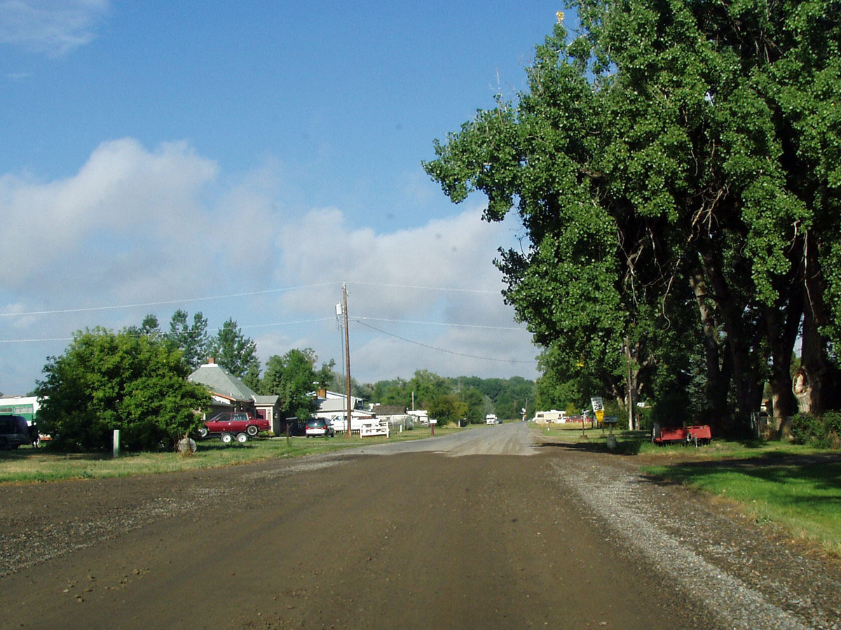
Silesia, Montana 59080

Mule Deer 12-29-2012 1

Winter 12-29-2012 2

Winter 2

Winter 12-29-2012 1

Horses 12-29-2012

The Ending

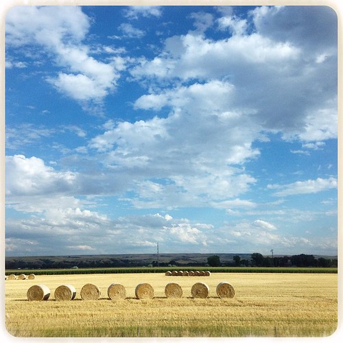
Montana Fall Hay Bales 12-2-2012
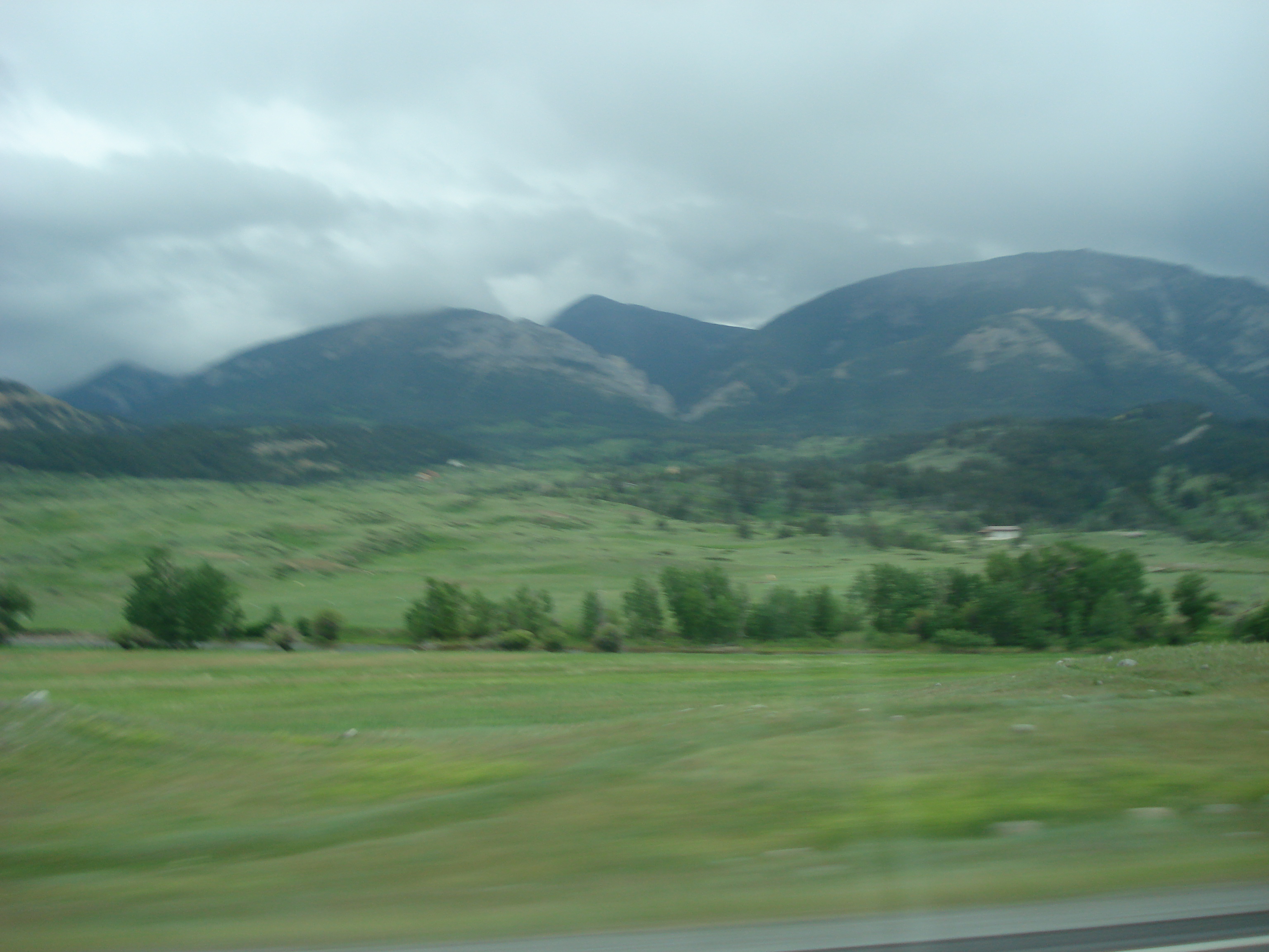
South Montana - August 2014

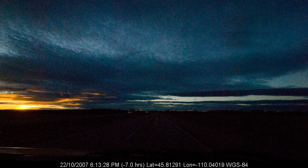
Montana Sunrise 9-16-2010

Phipps Park
Affliction (2012)

MY Sunrise 8-31-2011
DSC02923.JPG

Flags at COT

Got Beer? A Frosty One For You! 12-29-2012

"The sweet smell of short-chain carbon molecules." ~Shelley Gilliss, scientist

Horses 8-21-2011
DSC02996.JPG

Yellowstone River Near Park City, MT 8-21-2011 1
DSC02959.JPG
Bleached bones

Hay Bales 8-21-2011 2

Yellowstone River Valley 8-21-2011

September 11 Remberance 9-2011 04
Topographic Map of Ridge Dr, Laurel, MT, USA
Find elevation by address:

Places near Ridge Dr, Laurel, MT, USA:
Laurel
Grizzly Trail, Laurel, MT, USA
Interstate 90
Laurel, MT, USA
2 Gebhardt Ln
Rhino Court
Billings, MT, USA
Neibauer Rd, Billings, MT, USA
2225 S 44th St W
501 South 44th St W
501 South 44th St W
3900 Olympic Blvd
13300 Buffalo Jump
West End
1200 30th St W
4901 Mt-3
Hillcrest Road & Collier Road
Billings, MT, USA
1444 Chesapeake Ln
1713 Hollyhock St
Recent Searches:
- Elevation of Corso Fratelli Cairoli, 35, Macerata MC, Italy
- Elevation of Tallevast Rd, Sarasota, FL, USA
- Elevation of 4th St E, Sonoma, CA, USA
- Elevation of Black Hollow Rd, Pennsdale, PA, USA
- Elevation of Oakland Ave, Williamsport, PA, USA
- Elevation of Pedrógão Grande, Portugal
- Elevation of Klee Dr, Martinsburg, WV, USA
- Elevation of Via Roma, Pieranica CR, Italy
- Elevation of Tavkvetili Mountain, Georgia
- Elevation of Hartfords Bluff Cir, Mt Pleasant, SC, USA