Elevation map of Big Horn County, MT, USA
Location: United States > Montana >
Longitude: -107.27157
Latitude: 45.3496574
Elevation: 1193m / 3914feet
Barometric Pressure: 88KPa
Elevation Map:
Satellite Map:
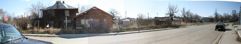
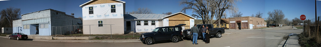
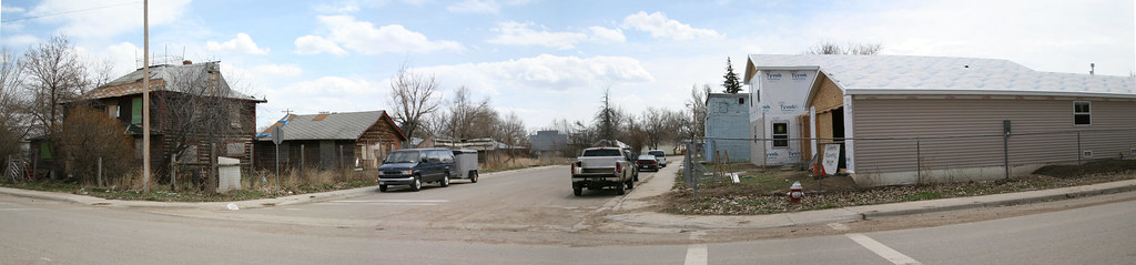
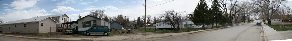
Related Photos:
PenskeOne-180.jpg
PenskeOne-179.jpg
PenskeOne-173.jpg

PenskeOne-176.jpg

PenskeOne-161.jpg
Street View 2
Street View
Frowt View
Street View 3
Back View

Fog on Pond 2
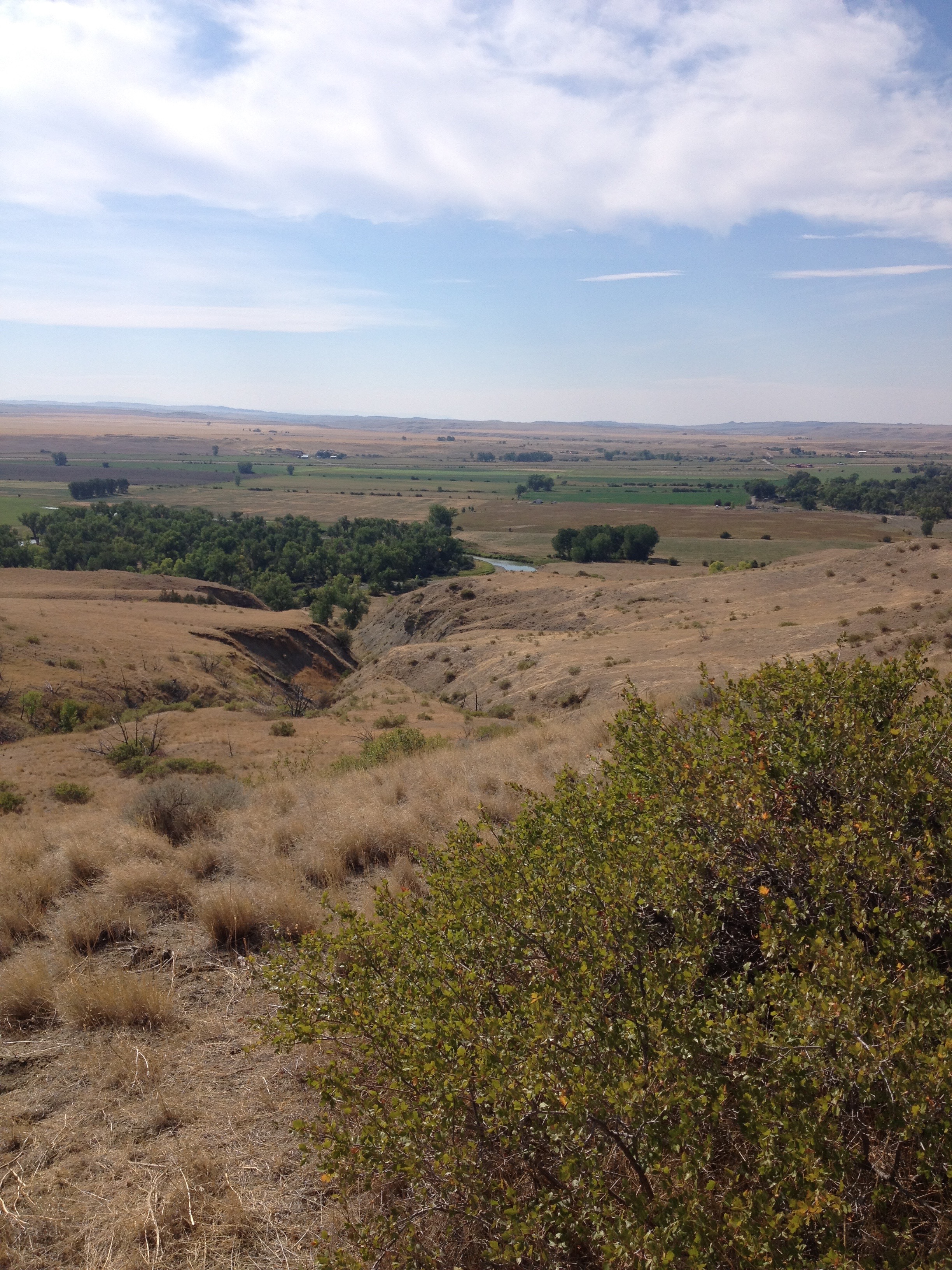
Little Big Horn Battlefield, Montana
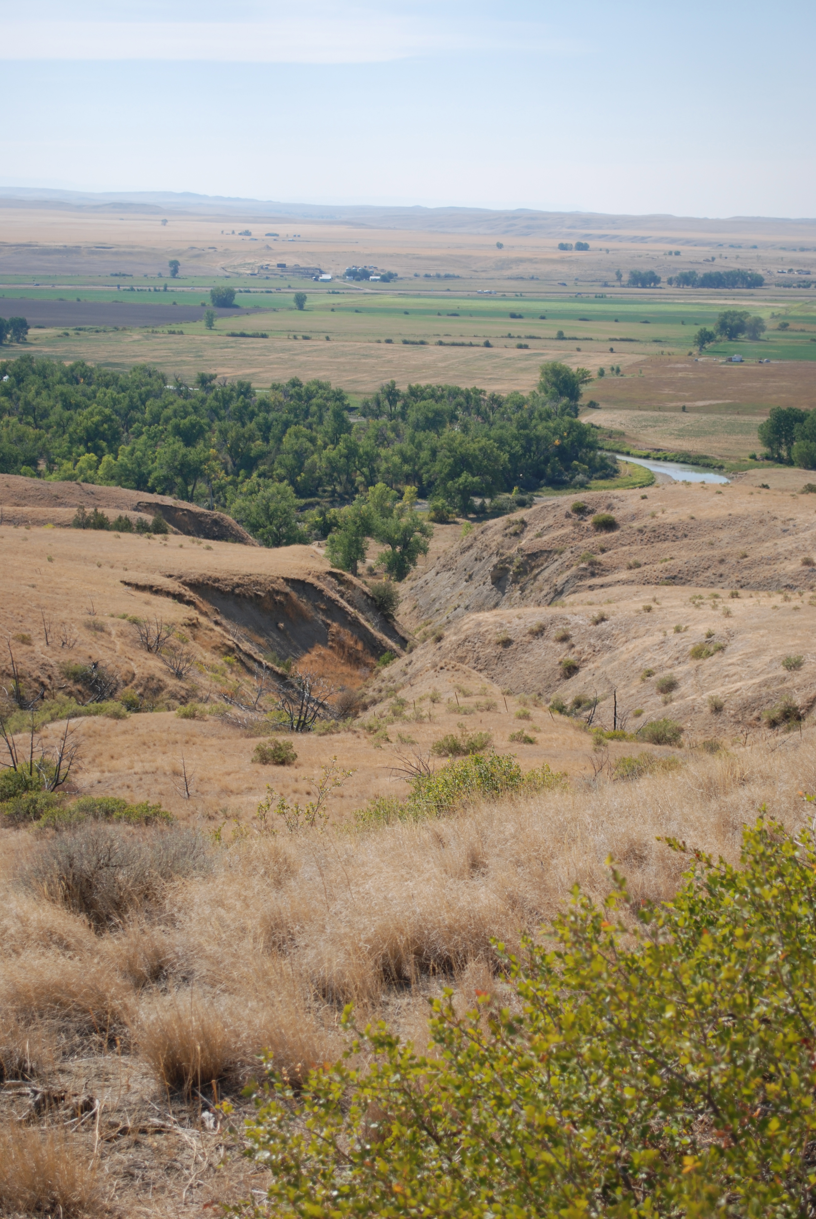
Little Big Horn

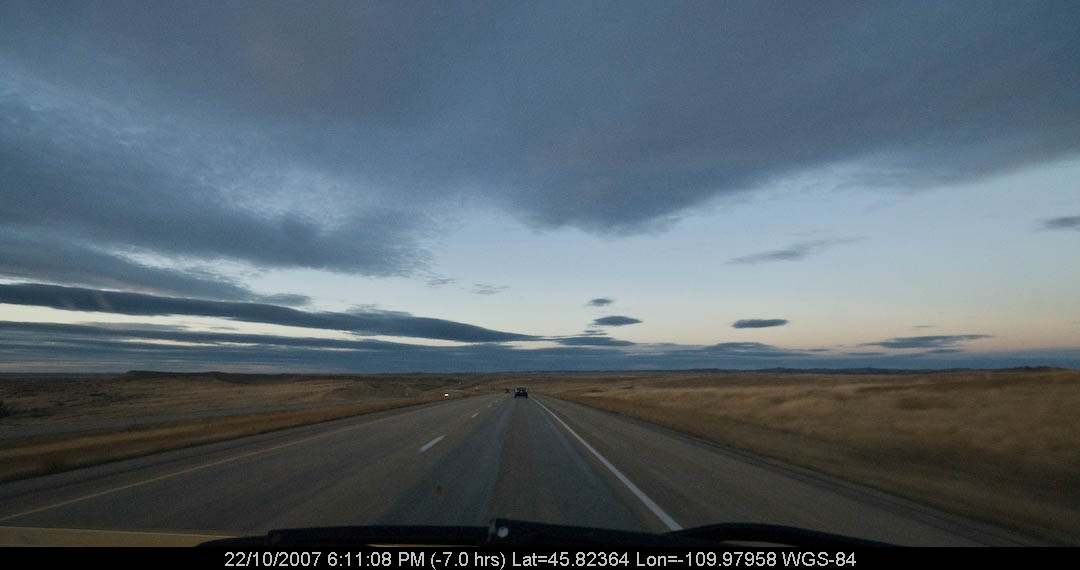
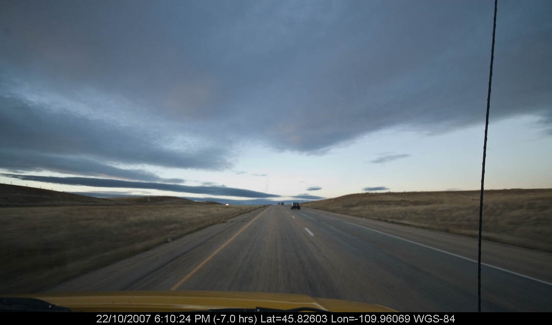
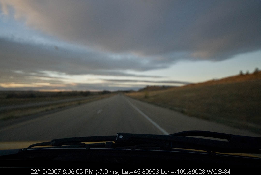
Little Big Horn, MT
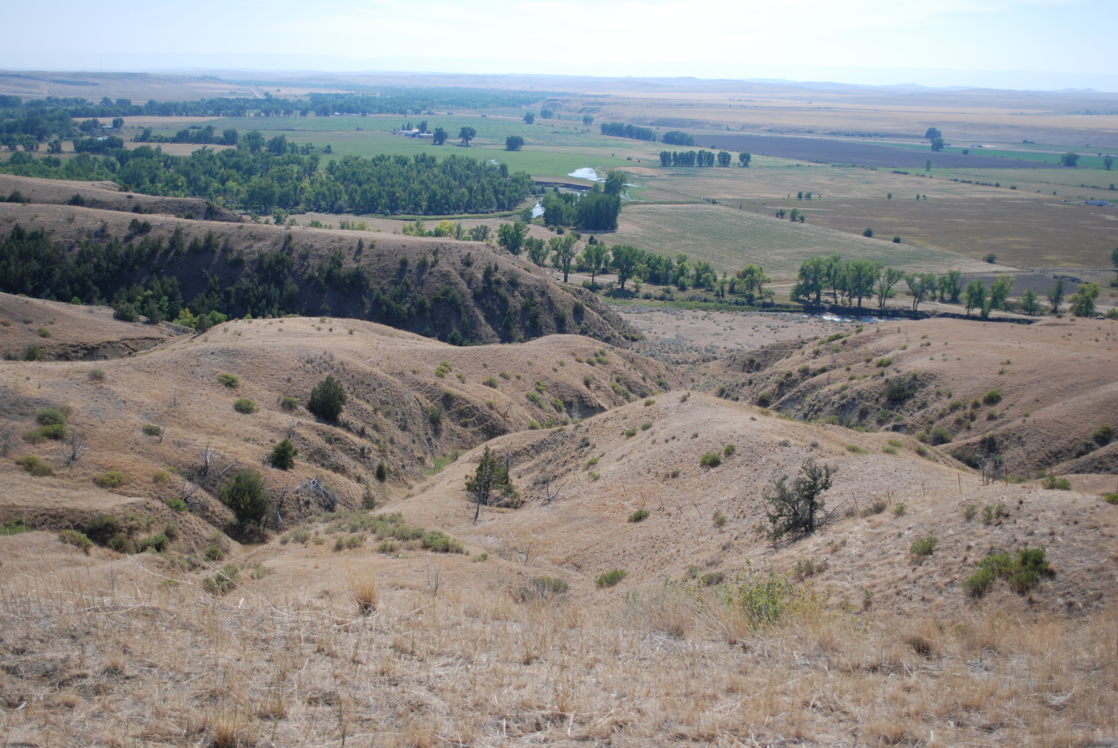
Little Big Horn, MT
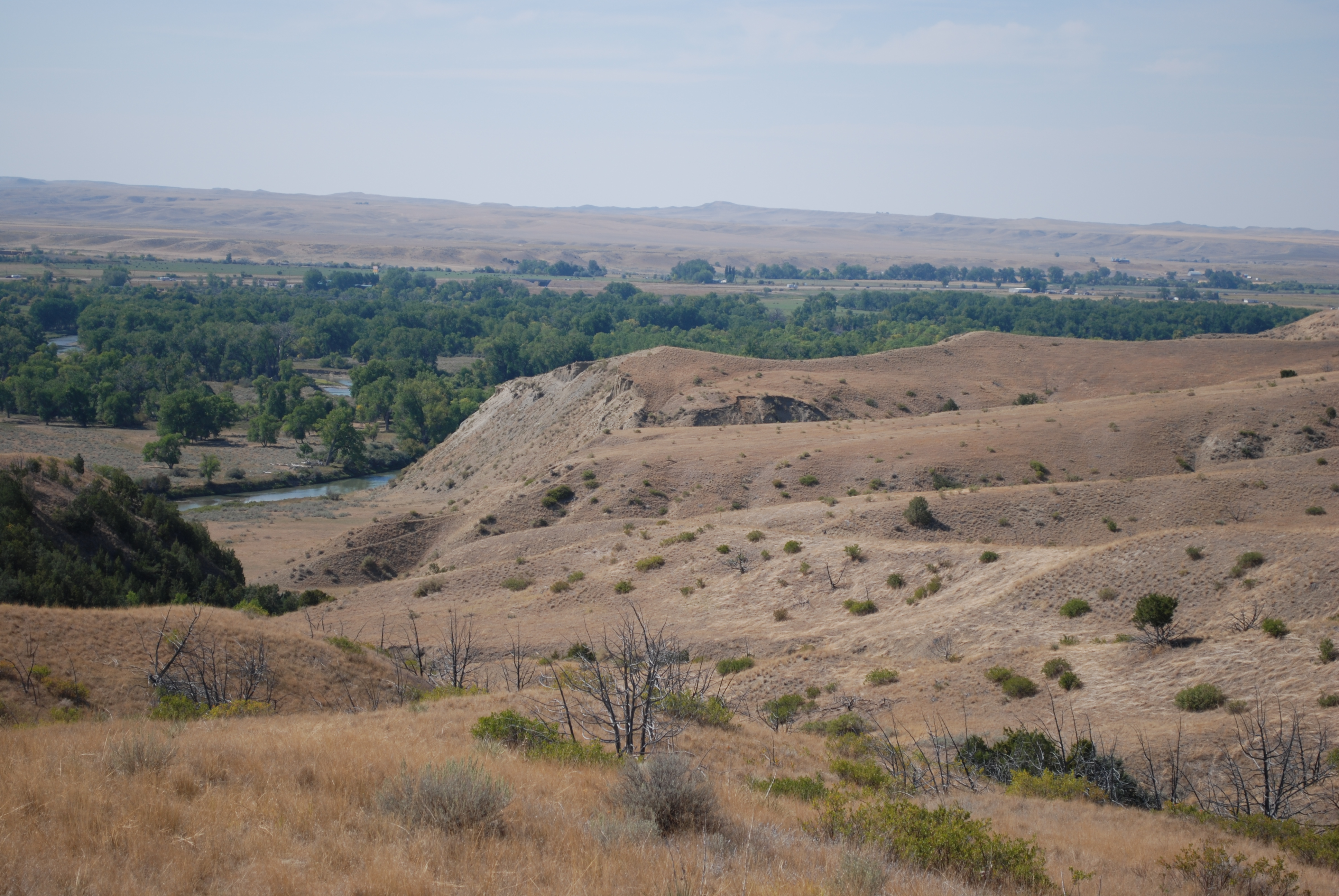
Little Big Horn, MT
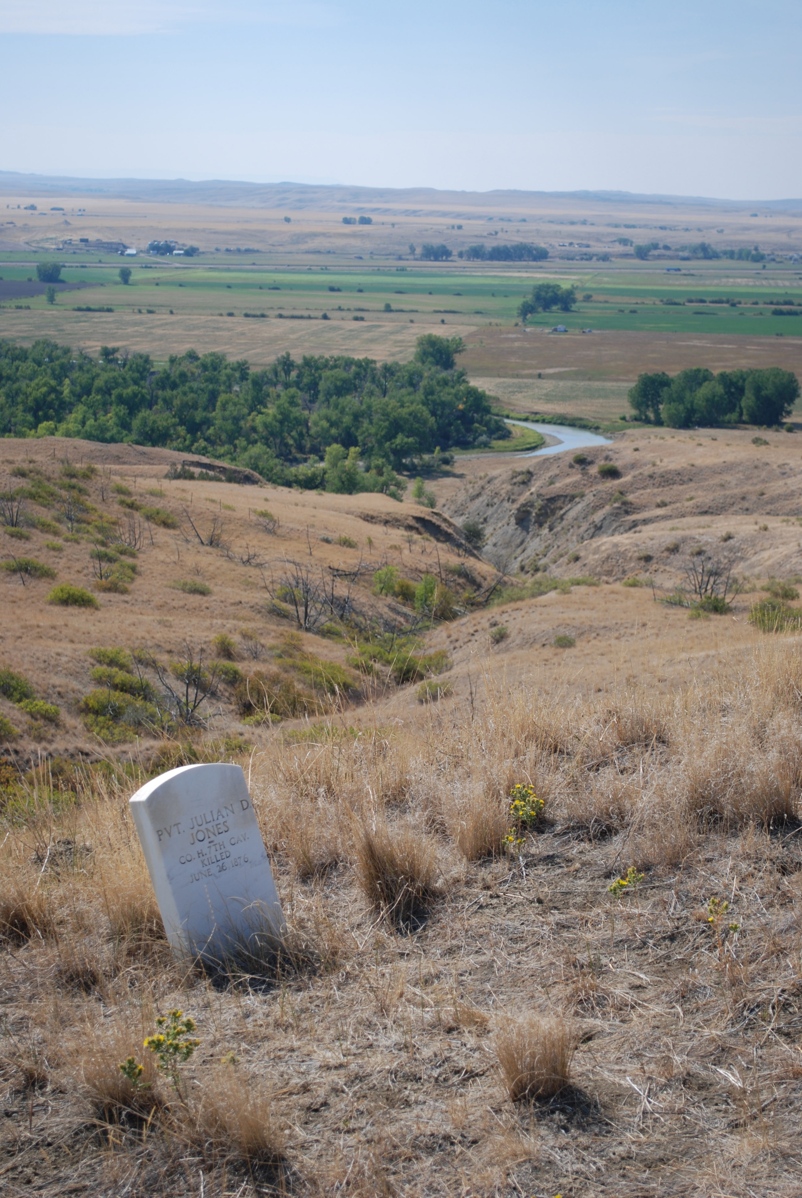
Little Big Horn

Trees over pond
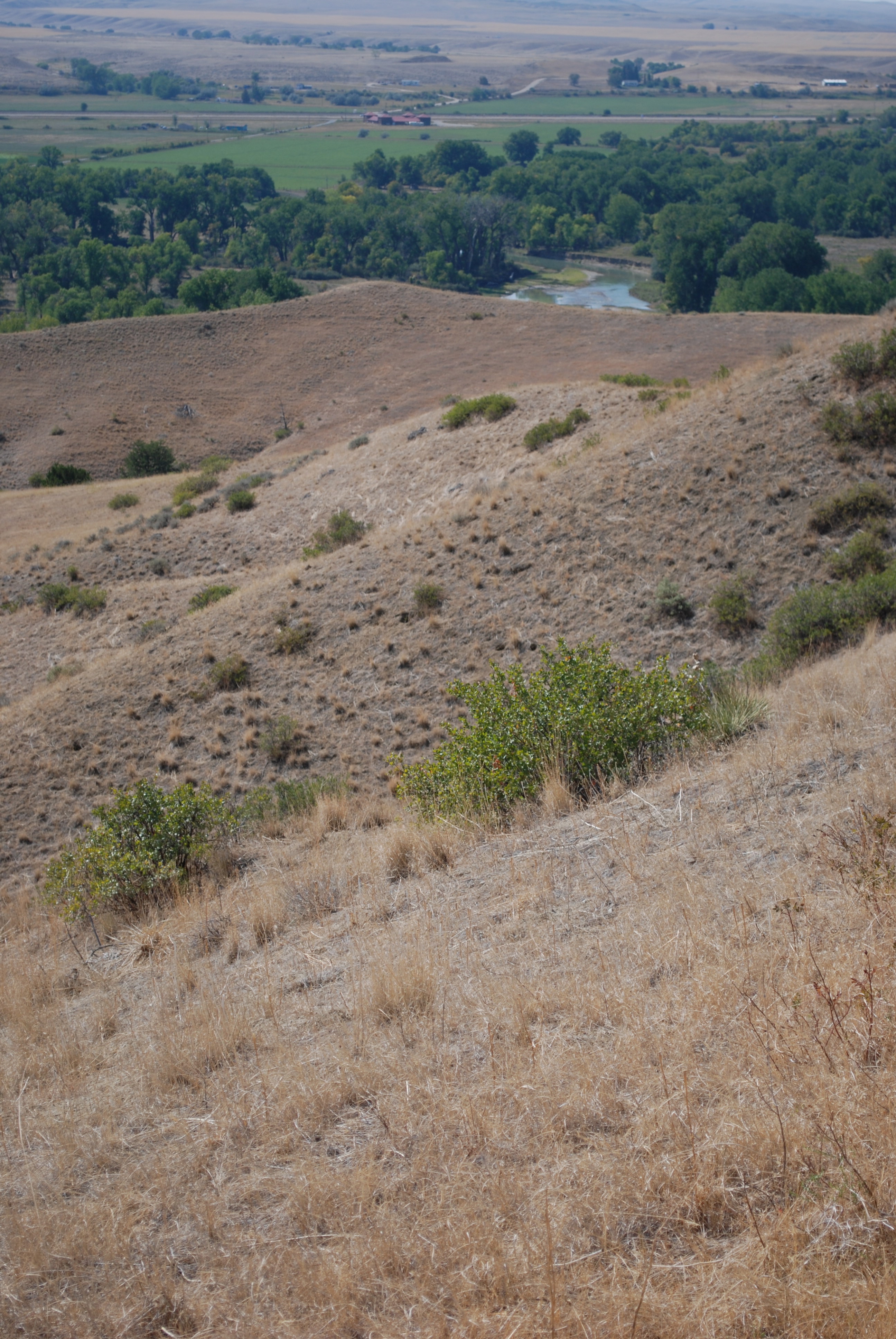
Little Big Horn, MT
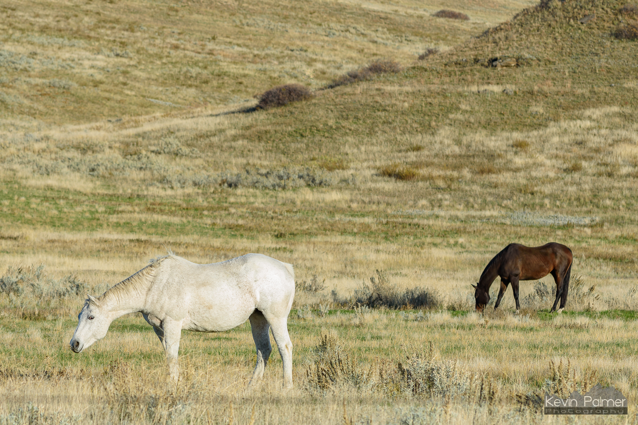
Crow Horses
Topographic Map of Big Horn County, MT, USA
Find elevation by address:

Places in Big Horn County, MT, USA:
Places near Big Horn County, MT, USA:
3 Tobacco Rd, Wyola, MT, USA
Kirby
Crow Agency
Hardin, MT, USA
704 N Cody Ave
Custer
Custer Frontage Rd, Custer, MT, USA
Bull Mountain
Cane St, Pompeys Pillar, MT, USA
Pompeys Pillar
S 28th Rd, Ballantine, MT, USA
3039 Hwy 312
Old Hwy 10, Forsyth, MT, USA
Ballantine, MT, USA
Hillsboro
S 20th Rd, Worden, MT, USA
Ballantine
Worden
S 7th Rd, Huntley, MT, USA
Recent Searches:
- Elevation of Corso Fratelli Cairoli, 35, Macerata MC, Italy
- Elevation of Tallevast Rd, Sarasota, FL, USA
- Elevation of 4th St E, Sonoma, CA, USA
- Elevation of Black Hollow Rd, Pennsdale, PA, USA
- Elevation of Oakland Ave, Williamsport, PA, USA
- Elevation of Pedrógão Grande, Portugal
- Elevation of Klee Dr, Martinsburg, WV, USA
- Elevation of Via Roma, Pieranica CR, Italy
- Elevation of Tavkvetili Mountain, Georgia
- Elevation of Hartfords Bluff Cir, Mt Pleasant, SC, USA