Elevation of Bull Mountain, MT, USA
Location: United States > Montana > Yellowstone County >
Longitude: -107.8575969
Latitude: 46.0224786
Elevation: 868m / 2848feet
Barometric Pressure: 0KPa
Related Photos:
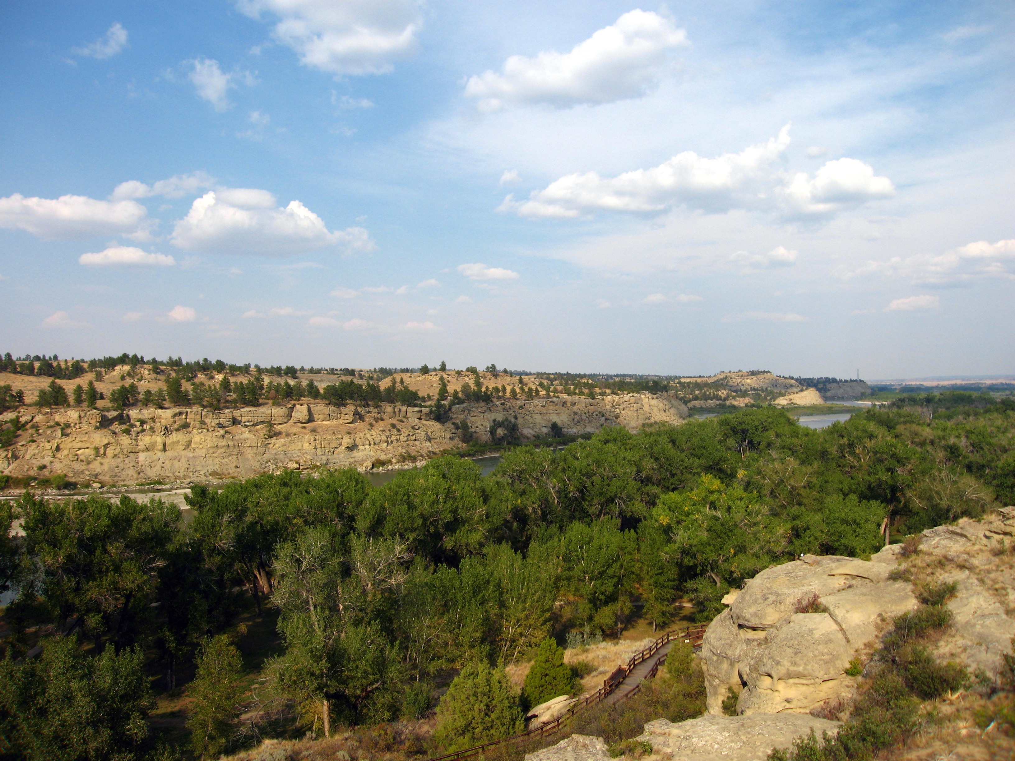
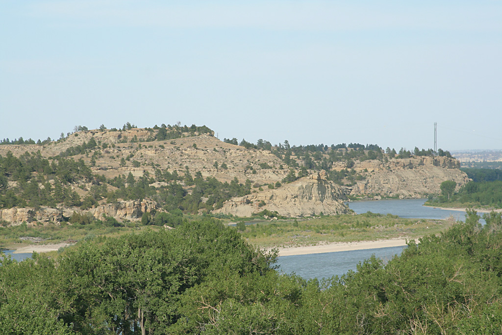
view from Pompeys Pillar
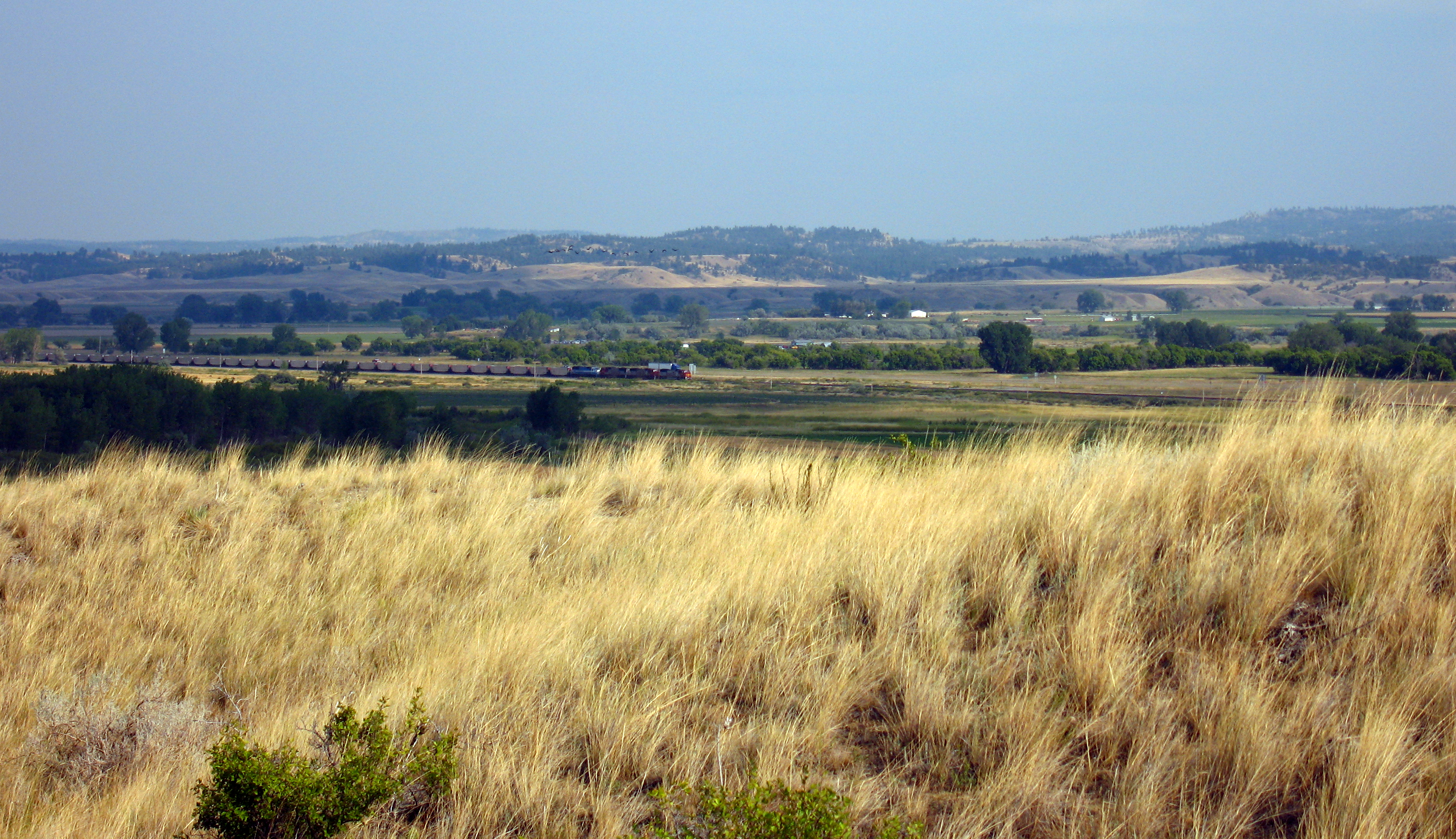
view from Pompeys Pillar
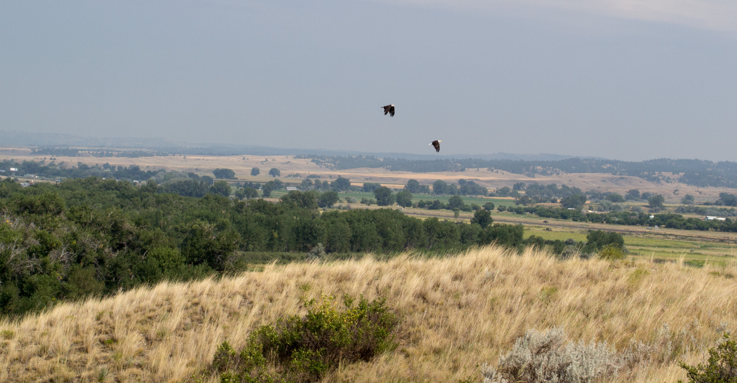
Pompeys Pillar National Monument MT (#0487)
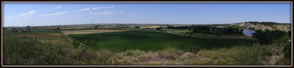
The View - Pompey's Pillar
day4-22
Topographic Map of Bull Mountain, MT, USA
Find elevation by address:

Places near Bull Mountain, MT, USA:
Pompeys Pillar
Cane St, Pompeys Pillar, MT, USA
3039 Hwy 312
S 28th Rd, Ballantine, MT, USA
Custer Frontage Rd, Custer, MT, USA
Ballantine, MT, USA
S 20th Rd, Worden, MT, USA
Ballantine
Worden
Custer
704 N Cody Ave
Hardin, MT, USA
S 7th Rd, Huntley, MT, USA
Crow Agency
Big Horn County
Old Hwy 10, Forsyth, MT, USA
Hillsboro
3 Tobacco Rd, Wyola, MT, USA
Kirby
Recent Searches:
- Elevation map of Greenland, Greenland
- Elevation of Sullivan Hill, New York, New York, 10002, USA
- Elevation of Morehead Road, Withrow Downs, Charlotte, Mecklenburg County, North Carolina, 28262, USA
- Elevation of 2800, Morehead Road, Withrow Downs, Charlotte, Mecklenburg County, North Carolina, 28262, USA
- Elevation of Yangbi Yi Autonomous County, Yunnan, China
- Elevation of Pingpo, Yangbi Yi Autonomous County, Yunnan, China
- Elevation of Mount Malong, Pingpo, Yangbi Yi Autonomous County, Yunnan, China
- Elevation map of Yongping County, Yunnan, China
- Elevation of North 8th Street, Palatka, Putnam County, Florida, 32177, USA
- Elevation of 107, Big Apple Road, East Palatka, Putnam County, Florida, 32131, USA
- Elevation of Jiezi, Chongzhou City, Sichuan, China
- Elevation of Chongzhou City, Sichuan, China
- Elevation of Huaiyuan, Chongzhou City, Sichuan, China
- Elevation of Qingxia, Chengdu, Sichuan, China
- Elevation of Corso Fratelli Cairoli, 35, Macerata MC, Italy
- Elevation of Tallevast Rd, Sarasota, FL, USA
- Elevation of 4th St E, Sonoma, CA, USA
- Elevation of Black Hollow Rd, Pennsdale, PA, USA
- Elevation of Oakland Ave, Williamsport, PA, USA
- Elevation of Pedrógão Grande, Portugal