Elevation of Custer, MT, USA
Location: United States > Montana > Yellowstone County >
Longitude: -107.55507
Latitude: 46.1291529
Elevation: 836m / 2743feet
Barometric Pressure: 92KPa
Elevation Map:
Satellite Map:
Related Photos:
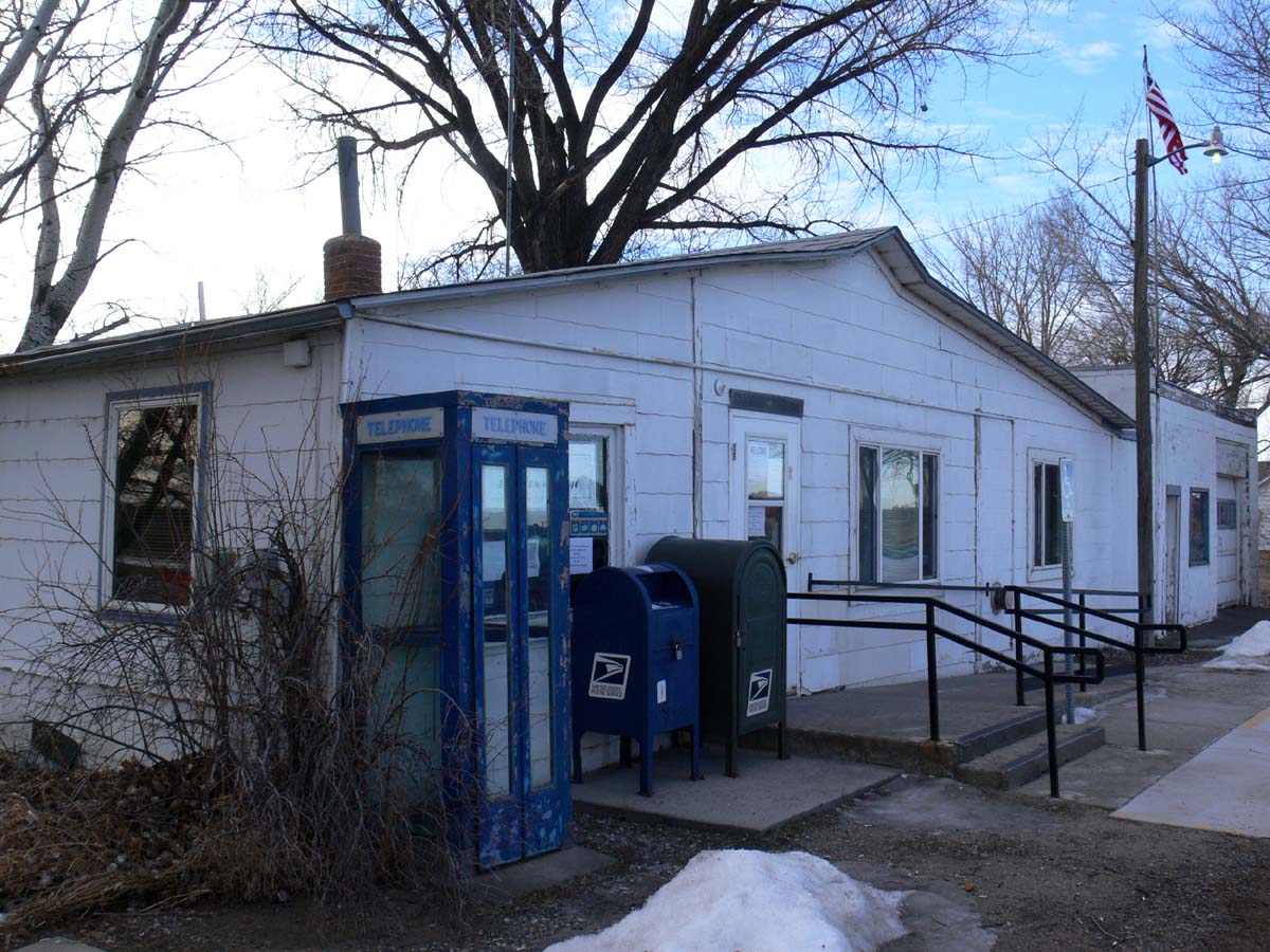
Custer, Montana 59024
Big Horn, Montana 59010

(2014-07-21) - 0026
Near Custer, MT
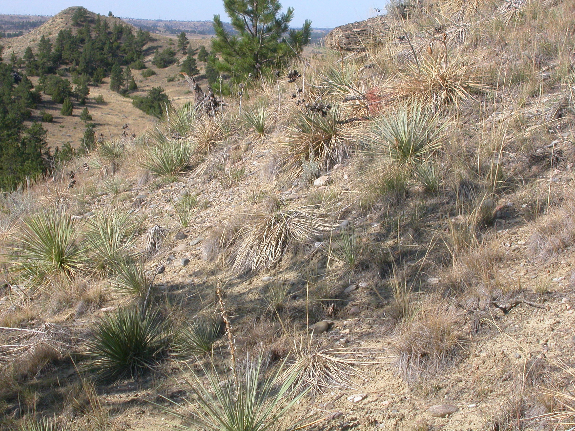
Cliffs near Rosebud, Montana
Bouteloua curtipendula

Autumn River
Day 2 - Bismarck to Billings
Day 2 - Bismarck to Billings
Big Horn, Montana 59010

Sunset in the sky
Big Bass 2015

Big Bass 2015

Powdered Dancer [ Argia moesta ] male

Variable (Violet) Dancer [ Argia fumipennis violacea ] male

(2014-07-21) - 0023

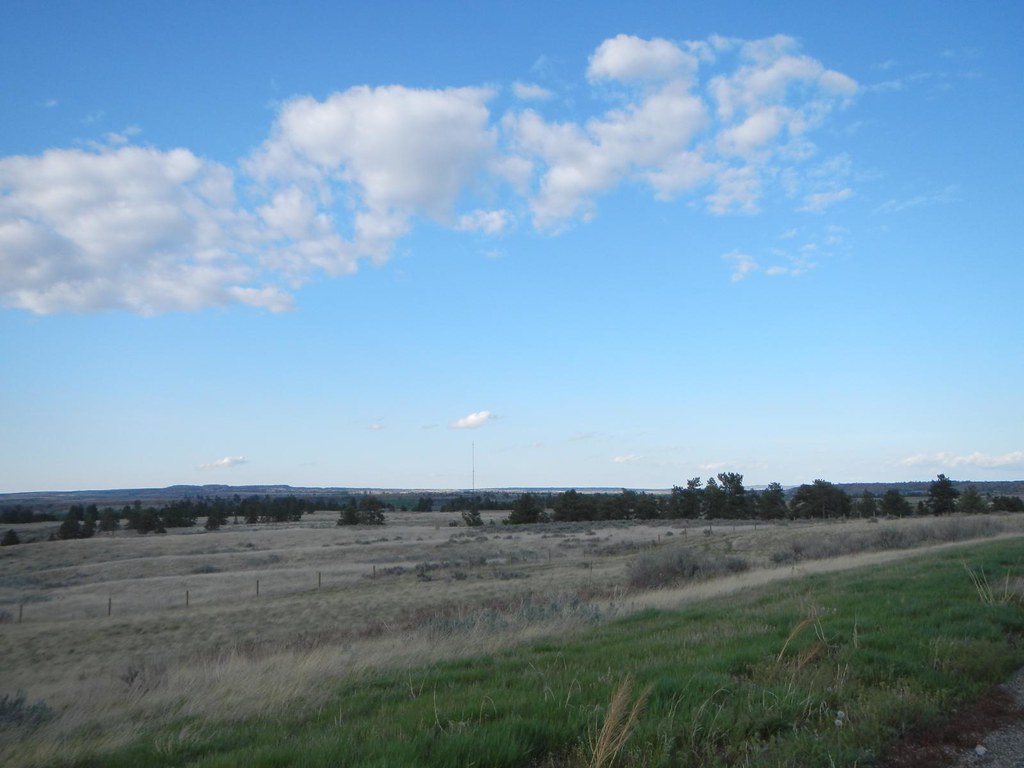
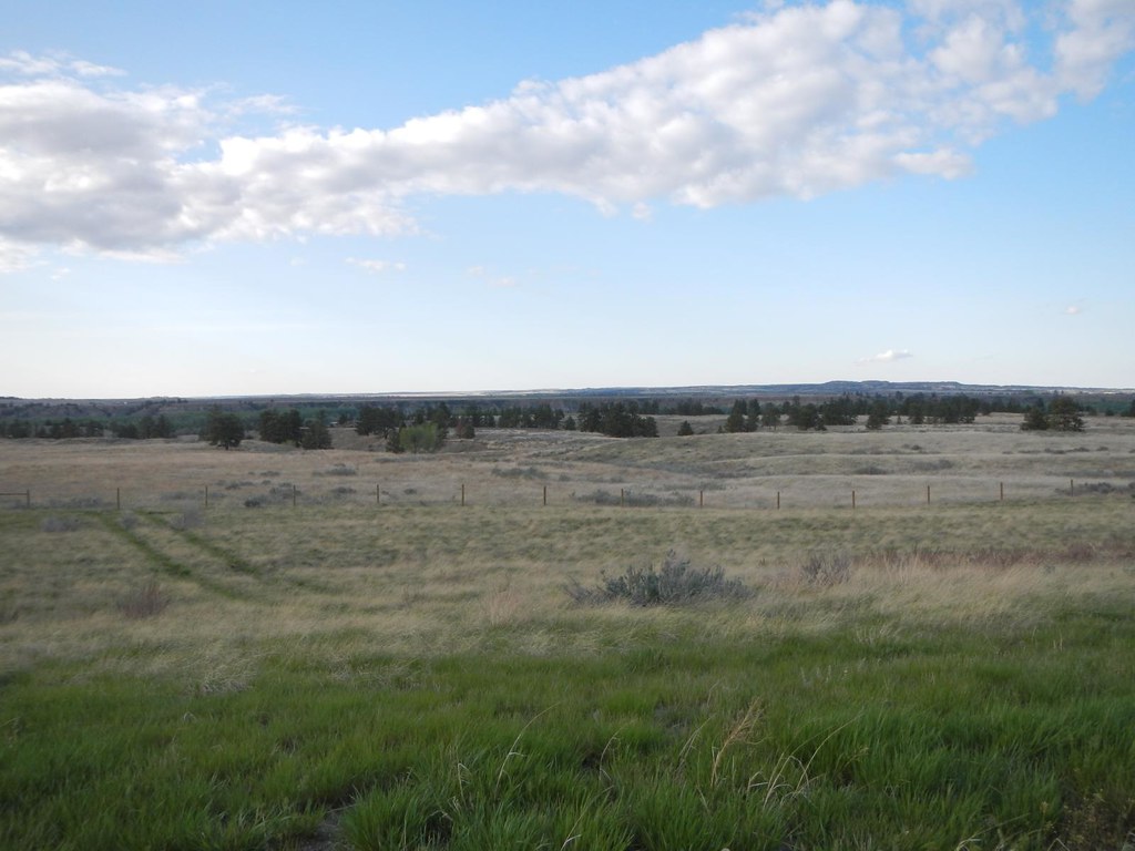
Custer, MT.
Custer, MT.
Custer, MT.
Custer, MT.

Tetons 2013 098
Topographic Map of Custer, MT, USA
Find elevation by address:

Places in Custer, MT, USA:
Places near Custer, MT, USA:
Custer Frontage Rd, Custer, MT, USA
Bull Mountain
704 N Cody Ave
Hardin, MT, USA
Pompeys Pillar
Cane St, Pompeys Pillar, MT, USA
3039 Hwy 312
S 28th Rd, Ballantine, MT, USA
Crow Agency
Ballantine, MT, USA
Old Hwy 10, Forsyth, MT, USA
S 20th Rd, Worden, MT, USA
Ballantine
Worden
S 7th Rd, Huntley, MT, USA
Big Horn County
Kirby
3 Tobacco Rd, Wyola, MT, USA
Hillsboro
Recent Searches:
- Elevation of Corso Fratelli Cairoli, 35, Macerata MC, Italy
- Elevation of Tallevast Rd, Sarasota, FL, USA
- Elevation of 4th St E, Sonoma, CA, USA
- Elevation of Black Hollow Rd, Pennsdale, PA, USA
- Elevation of Oakland Ave, Williamsport, PA, USA
- Elevation of Pedrógão Grande, Portugal
- Elevation of Klee Dr, Martinsburg, WV, USA
- Elevation of Via Roma, Pieranica CR, Italy
- Elevation of Tavkvetili Mountain, Georgia
- Elevation of Hartfords Bluff Cir, Mt Pleasant, SC, USA