Elevation of Custer Frontage Rd, Custer, MT, USA
Location: United States > Montana > Yellowstone County > Custer >
Longitude: -107.68148
Latitude: 46.088341
Elevation: 844m / 2769feet
Barometric Pressure: 92KPa
Elevation Map:
Satellite Map:
Related Photos:
Custer, Montana 59024
Autumn River
Near Custer, MT
Cliffs near Rosebud, Montana
Day 2 - Bismarck to Billings
Day 2 - Bismarck to Billings
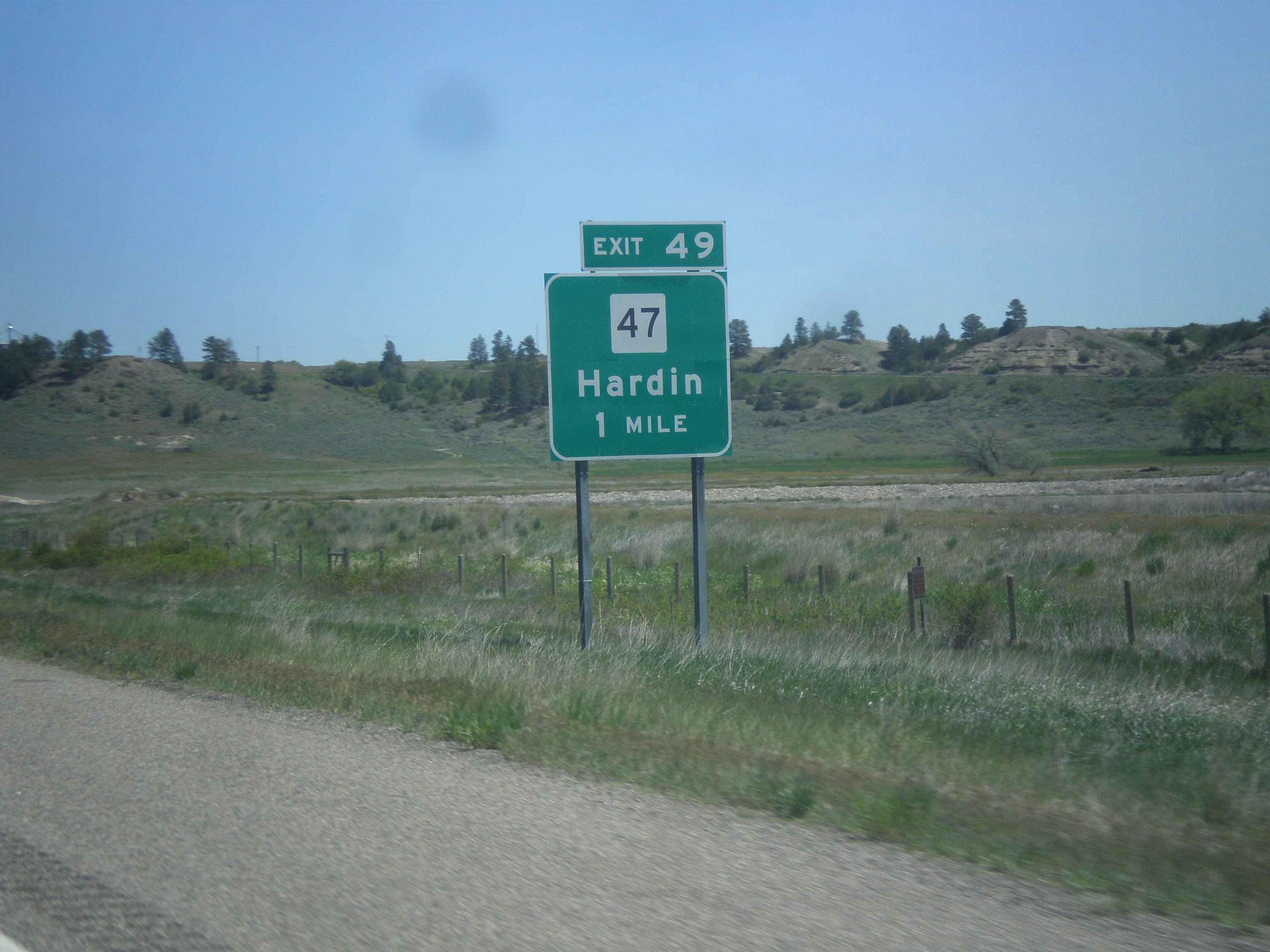
I-94 East - Exit 49
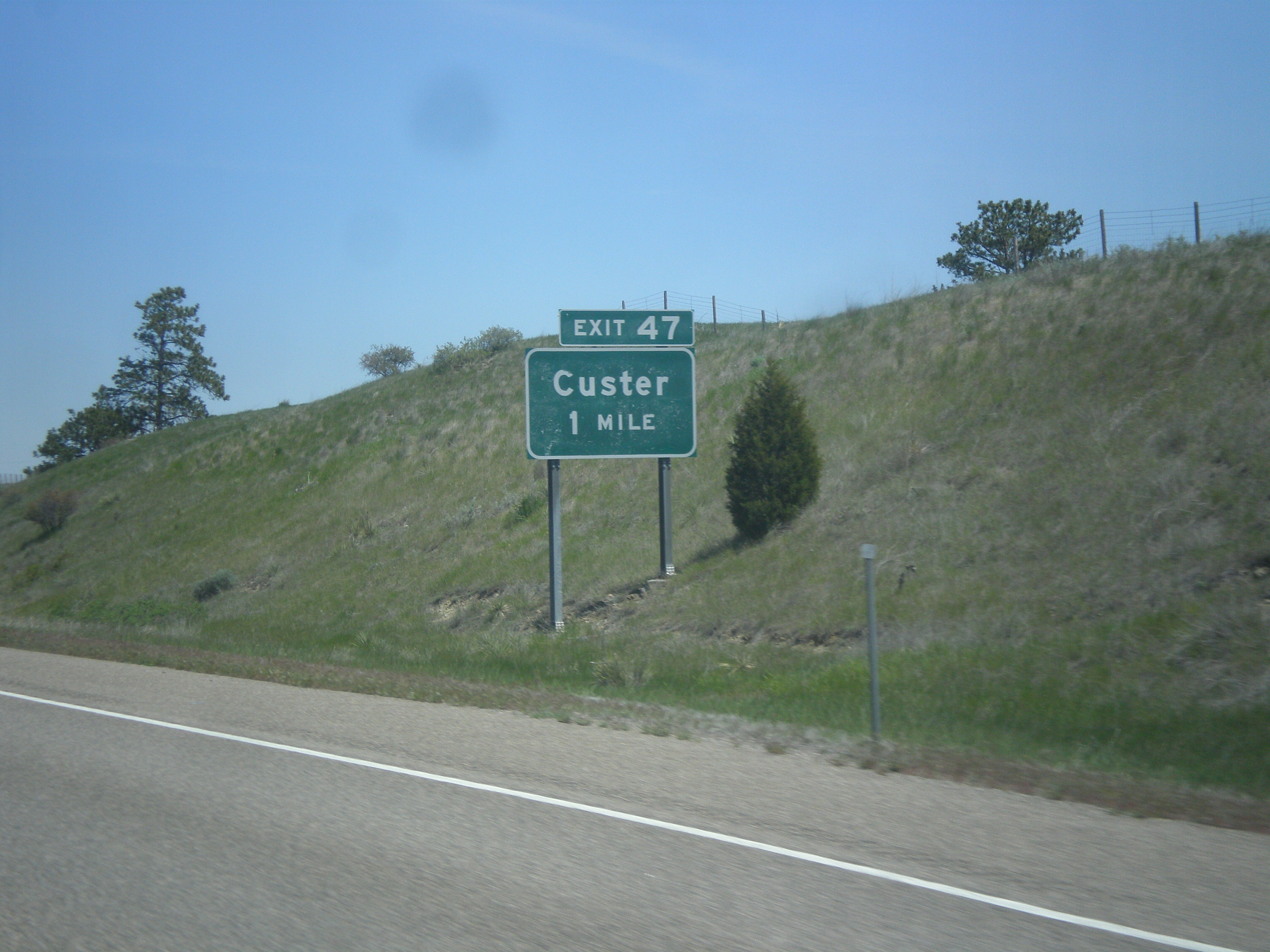
I-94 East - Exit 47
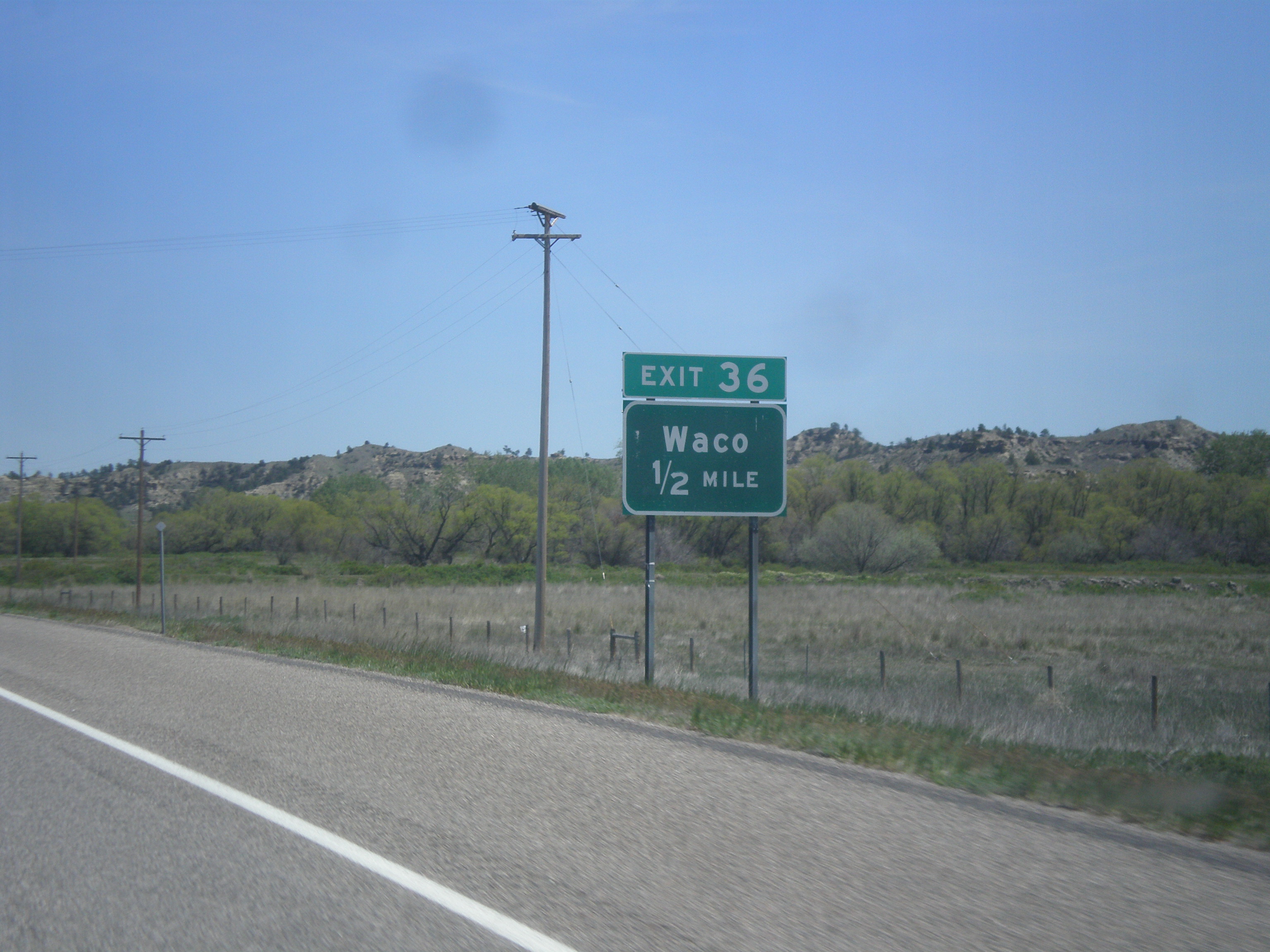
I-94 East - Exit 36
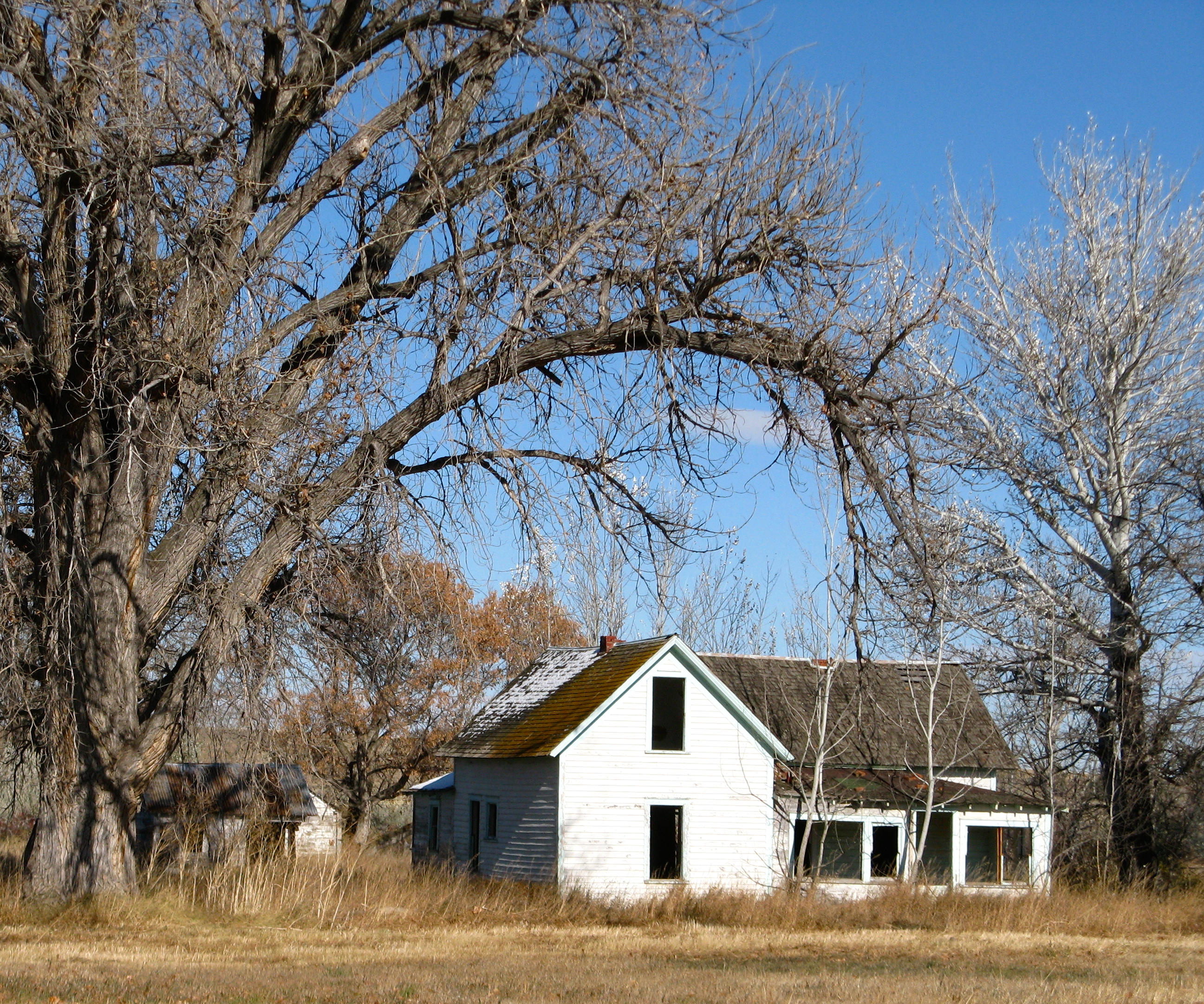
Captain Clark Homestead,Montana
Big Bass 2015
Big Bass 2015

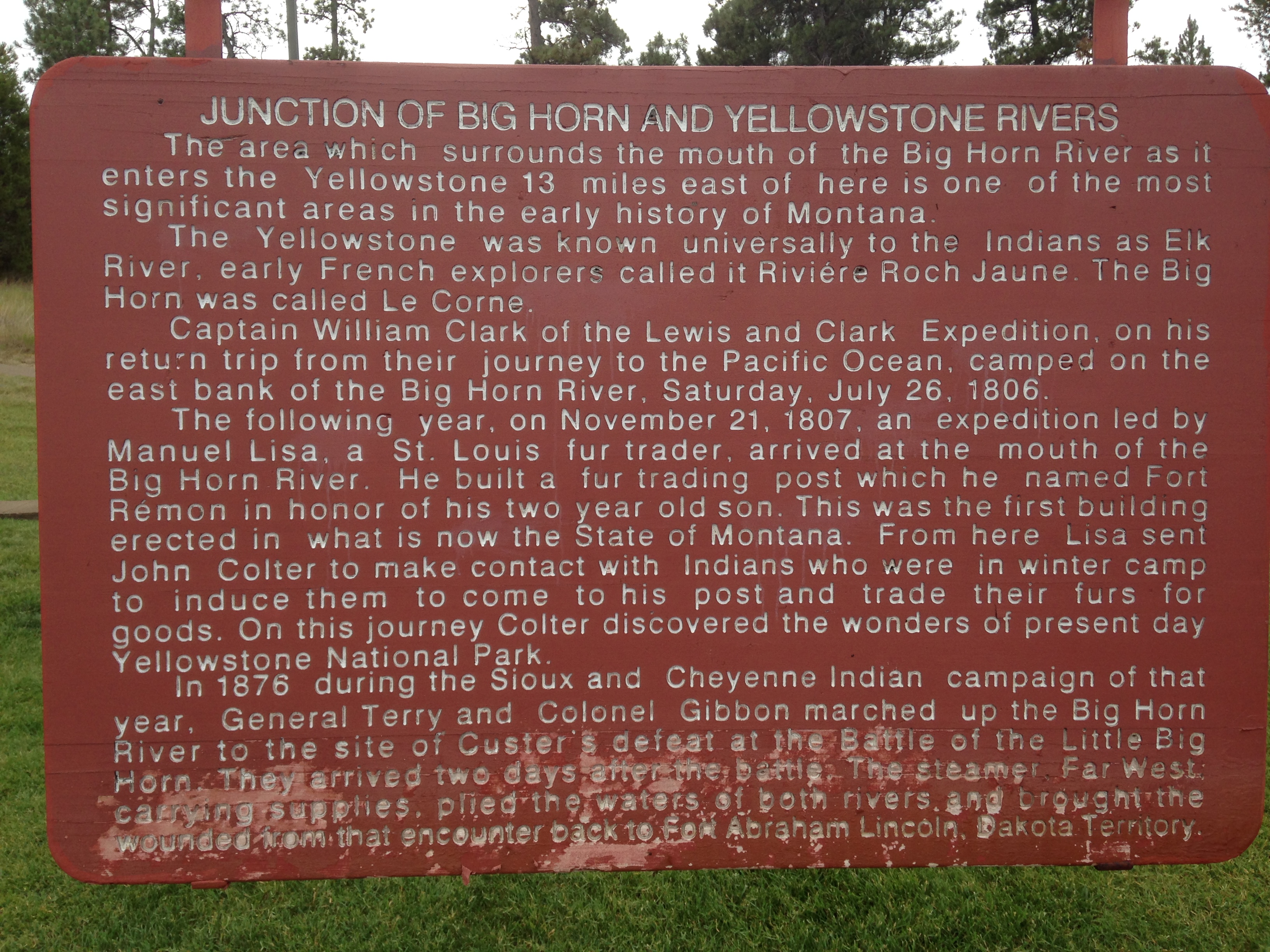
Custer, MT.
Custer, MT.
Custer, MT.
Custer, MT.

Climbing Matthew
Climbing Rocks Conquered
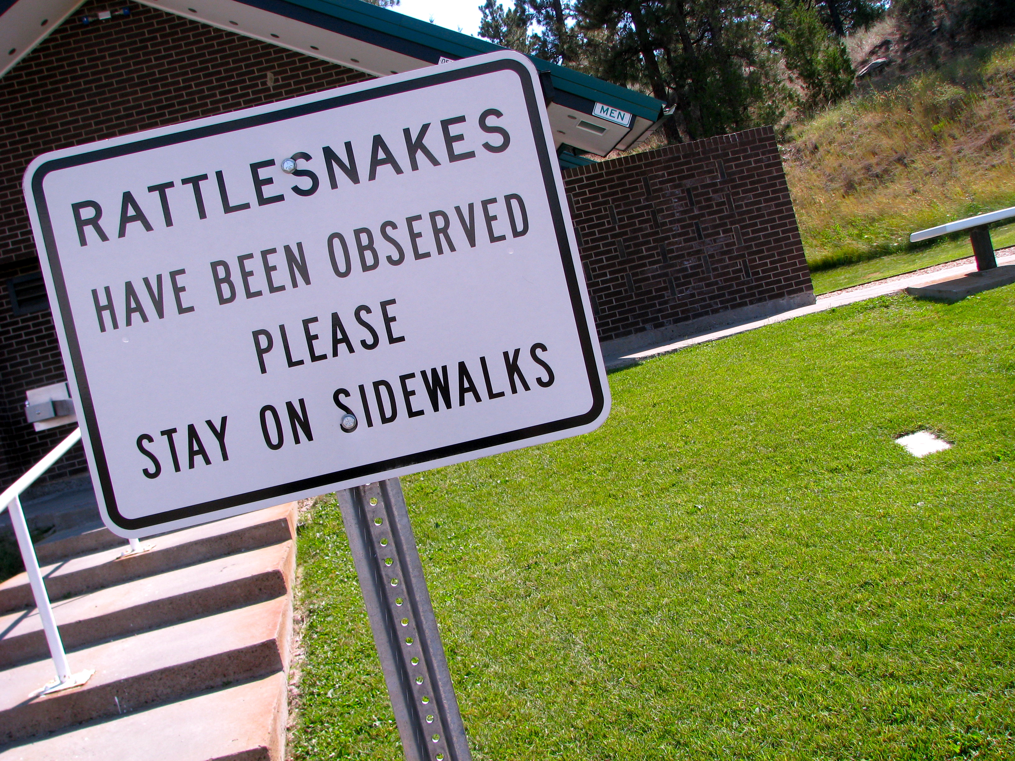
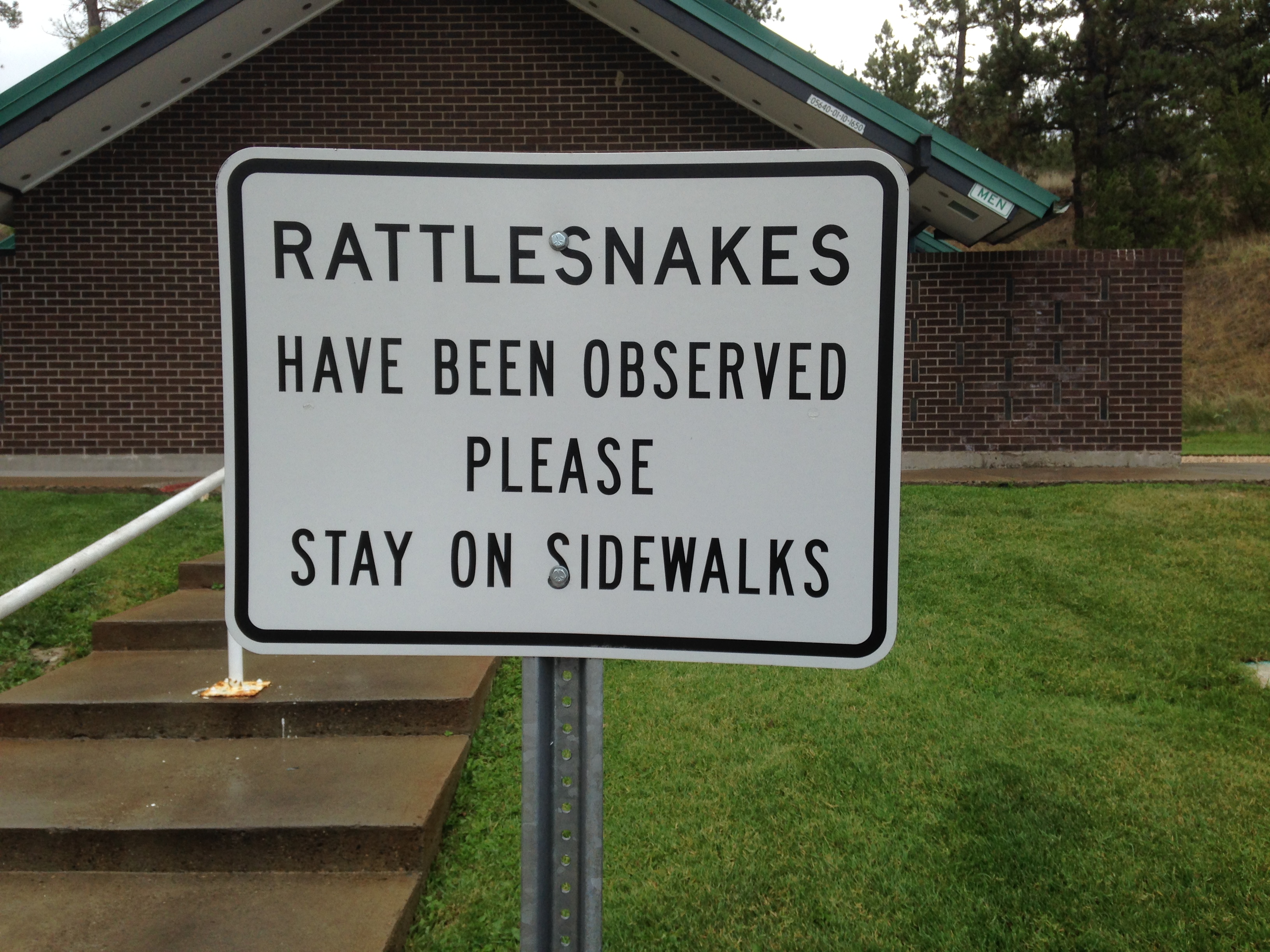
Rattlesnake Warning
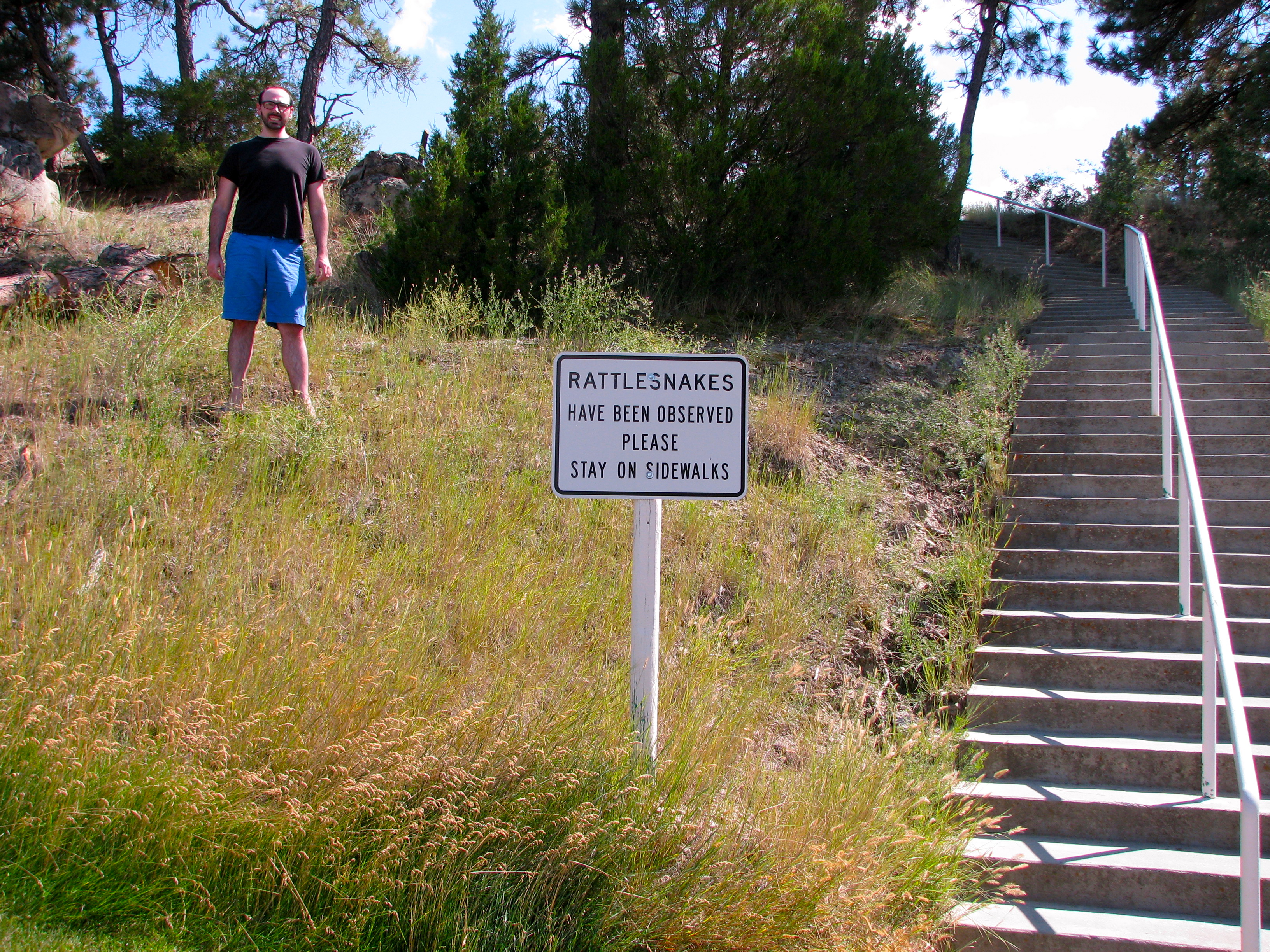
Sidewalks?
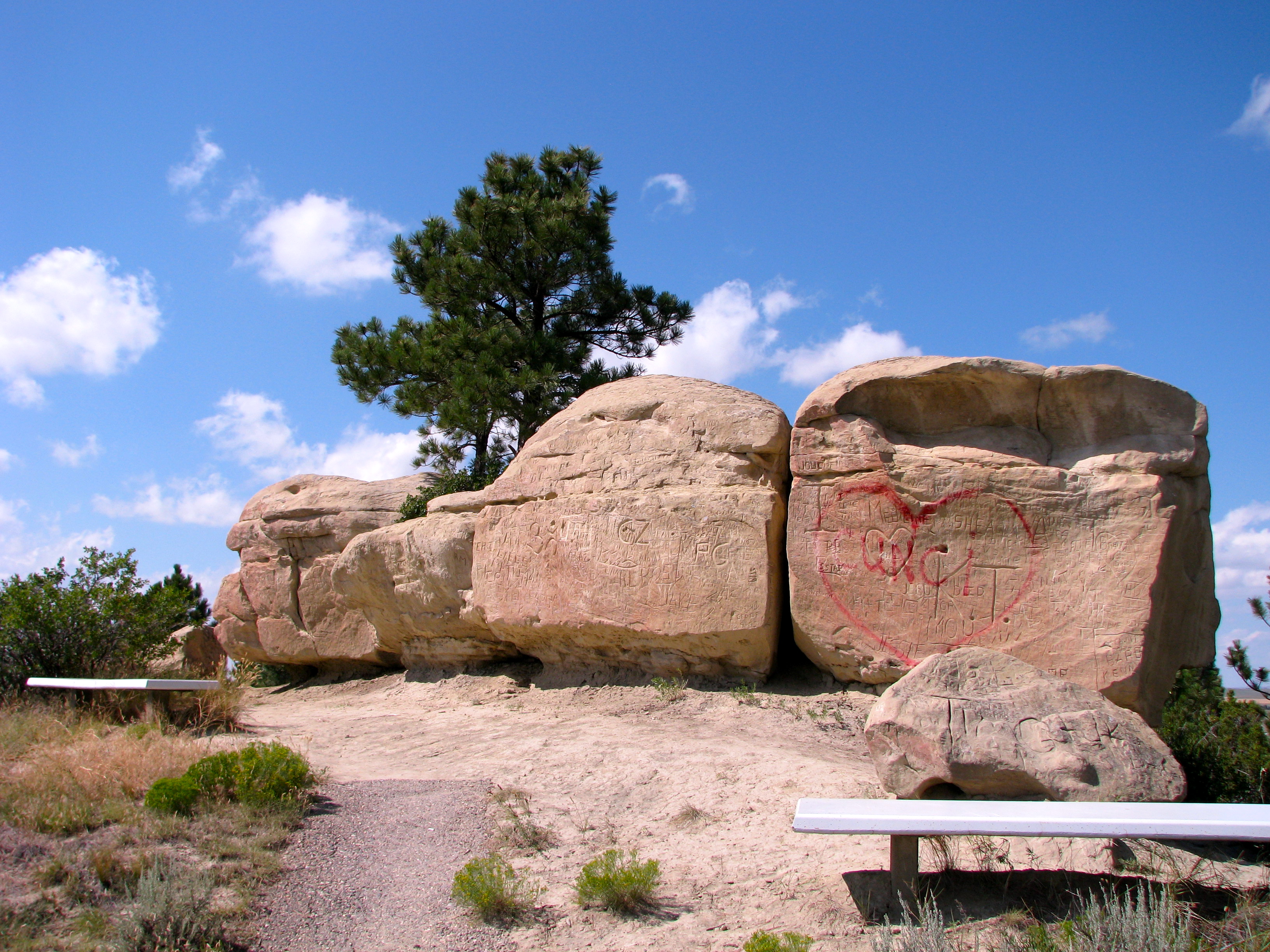
Three Perfect Climbing Rocks
Topographic Map of Custer Frontage Rd, Custer, MT, USA
Find elevation by address:

Places near Custer Frontage Rd, Custer, MT, USA:
Custer
Bull Mountain
Pompeys Pillar
Cane St, Pompeys Pillar, MT, USA
3039 Hwy 312
704 N Cody Ave
Hardin, MT, USA
S 28th Rd, Ballantine, MT, USA
Ballantine, MT, USA
S 20th Rd, Worden, MT, USA
Ballantine
Worden
Crow Agency
S 7th Rd, Huntley, MT, USA
Old Hwy 10, Forsyth, MT, USA
Big Horn County
3 Tobacco Rd, Wyola, MT, USA
Kirby
Hillsboro
Recent Searches:
- Elevation of Elwyn Dr, Roanoke Rapids, NC, USA
- Elevation of Congressional Dr, Stevensville, MD, USA
- Elevation of Bellview Rd, McLean, VA, USA
- Elevation of Stage Island Rd, Chatham, MA, USA
- Elevation of Shibuya Scramble Crossing, 21 Udagawacho, Shibuya City, Tokyo -, Japan
- Elevation of Jadagoniai, Kaunas District Municipality, Lithuania
- Elevation of Pagonija rock, Kranto 7-oji g. 8"N, Kaunas, Lithuania
- Elevation of Co Rd 87, Jamestown, CO, USA
- Elevation of Tenjo, Cundinamarca, Colombia
- Elevation of Côte-des-Neiges, Montreal, QC H4A 3J6, Canada