Elevation map of Gandaki, Nepal

Location: Nepal > Western Region >

Longitude: 84.4382721

Latitude: 28.3732037

Elevation: 2649m / 8691feet

Barometric Pressure: 73KPa

Elevation Map:

elevation map of Gandaki, Nepal

Satellite Map:

Satellite map of Gandaki, Nepal

Related Photos:

nepal trek doug annapurnacircuit annapurna jerril
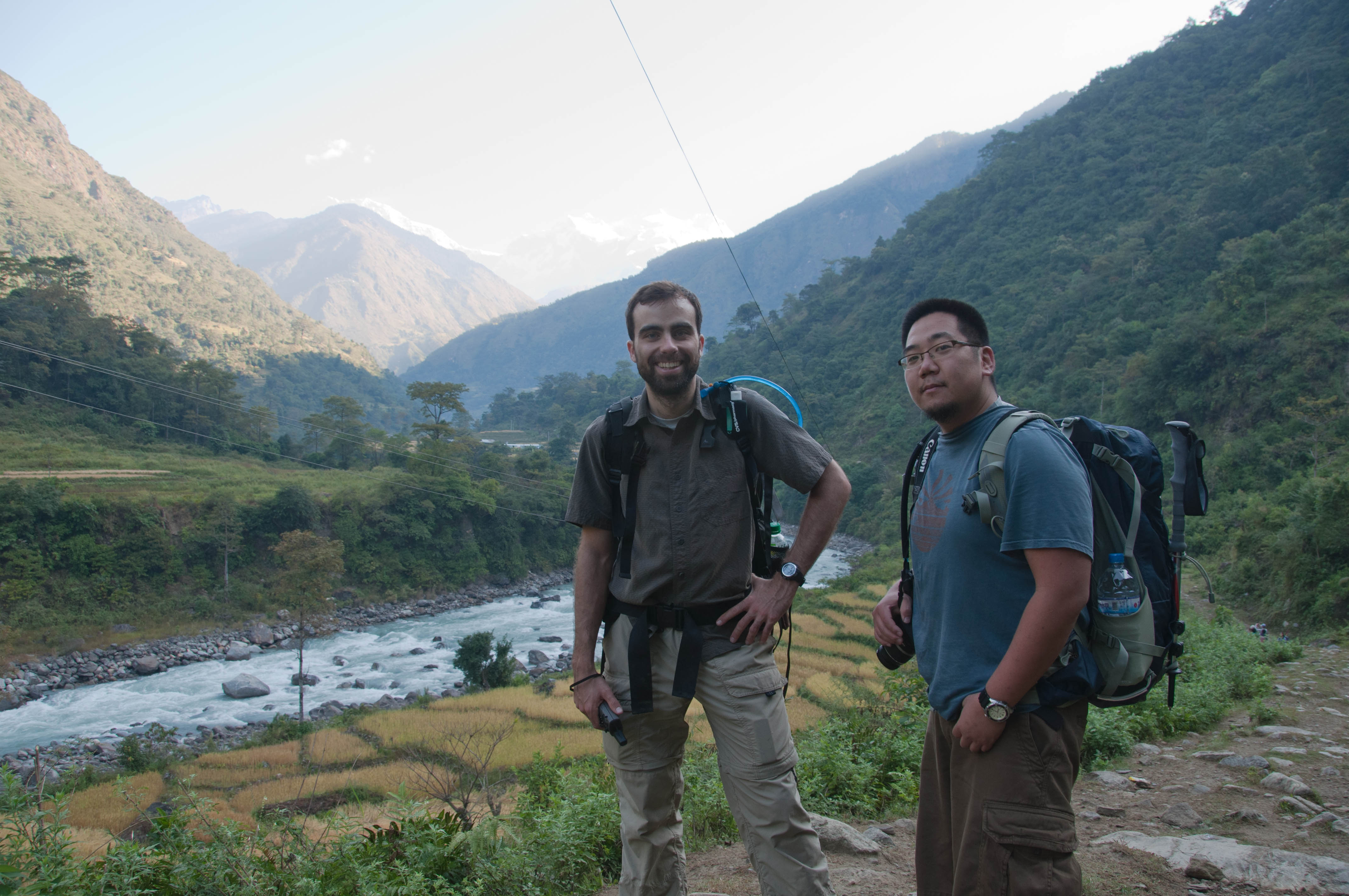
First view of the mountains
travel nepal house color tourism beautiful horizontal rural trek town colorful asia outdoor scenic hike annapurnacircuit annapurna gandaki lamjung khudi annapurnaconservationarea
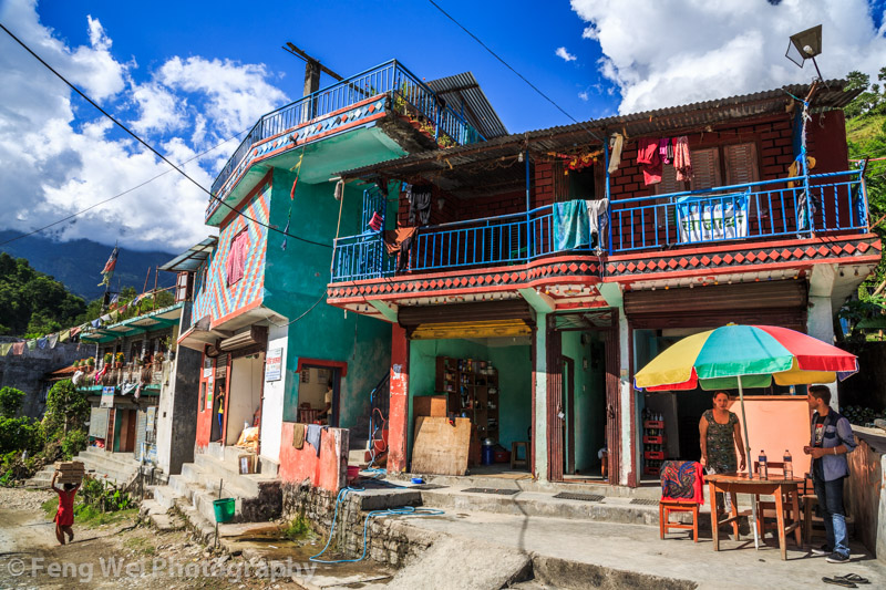
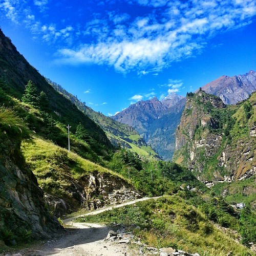
Khudi, Annapurna Circuit, Nepal
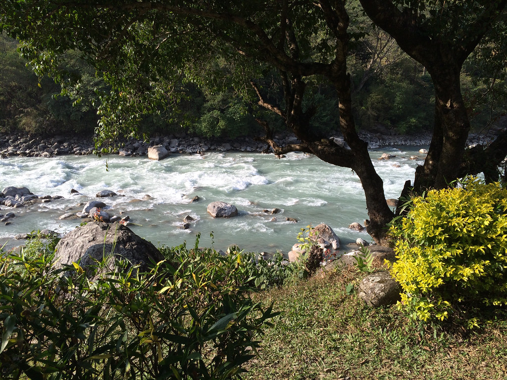
River view from a Ngadi lodge.
nepal mountain landscape outdoor annapurnacircuit raplanet
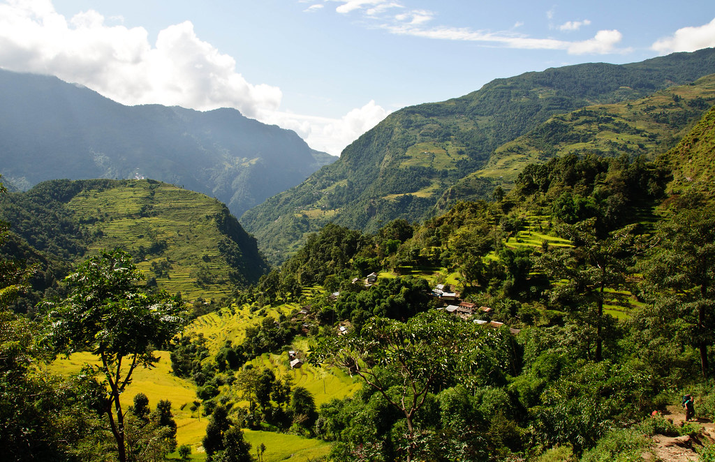
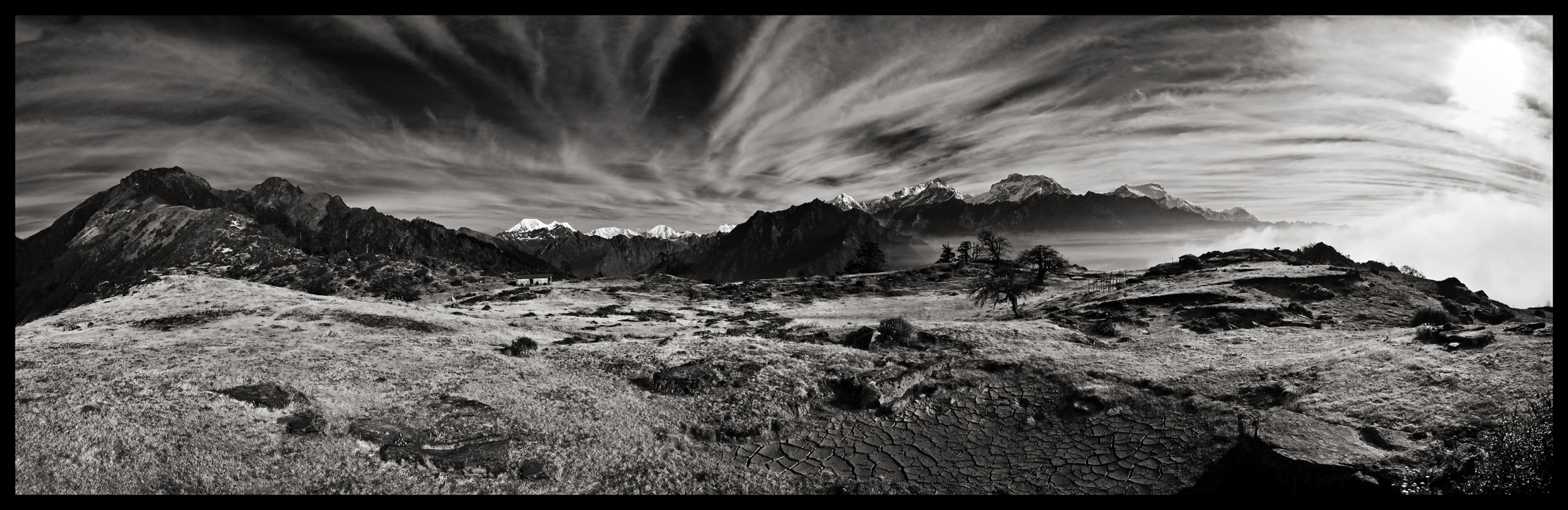
Green Pastures of Lampata
trip travel blue nepal vacation cloud holiday tree tourism ice clouds trekking reisen asia asien tour rice hiking urlaub wolke wolken reis visit location tourist journey mountaineering destination traveling blau himalaya eis annapurnacircuit baum freizeit wandern touring tourismus reise bhat ort thomasm besuch bergsteigen नेपाल westernregion wandertour bhulbhule exif:make=pentax camera:make=pentax annapurnaconservationarea pentaxart nepāl exif:model=pentaxk7 camera:model=pentaxk7 exif:focallength=55mm exif:aperture=ƒ13 exif:lens=smcpentaxda50135mmf28edifsdm kangaruhimal himlung marsyangdinadital marsyangdinadivalley pashchimānchalbikāskshetra पश्चिमाञ्चलविकासक्षेत्र exif:isospeed=160
Gipfel über Morgendunst | Summits over early-morning haze
nepal panorama trek landscape doug panoramic around himalaya sundar himal lamjung chuli manaslu top20panoramic kharka mountainscapes ngadi kofsky artcat18871
sundar kharka
trip travel blue nepal vacation cloud holiday tree tourism ice clouds trekking reisen asia asien tour rice hiking urlaub wolke wolken reis visit location tourist journey mountaineering destination traveling blau himalaya eis annapurnacircuit baum freizeit wandern touring tourismus reise bhat ort thomasm besuch bergsteigen lamjung नेपाल westernregion wandertour annapurnaconservationarea nepāl kangaruhimal himlung marsyangdinadital marsyangdinadivalley pashchimānchalbikāskshetra पश्चिमाञ्चलविकासक्षेत्र
Reisfelder unter Eisgipfeln
square squareformat iphoneography instagramapp uploaded:by=instagram
#beautiful #blue #sky the only day I really saw it on the whole trek on the #Annapurna circuit
nepal mountain 2004 analog trekking trek landscape mount round himalaya annapurna sahar annapurnas canoneos300 besi himal lamjung
Lamjung Himal (Mount), Annapurnas round trek, Himalaya, Nepal, 2004
travel nepal color beautiful horizontal trek landscape asia village outdoor scenic hike remote annapurnacircuit annapurna himalayas chamje gandaki lamjung jagat annapurnaconservationarea
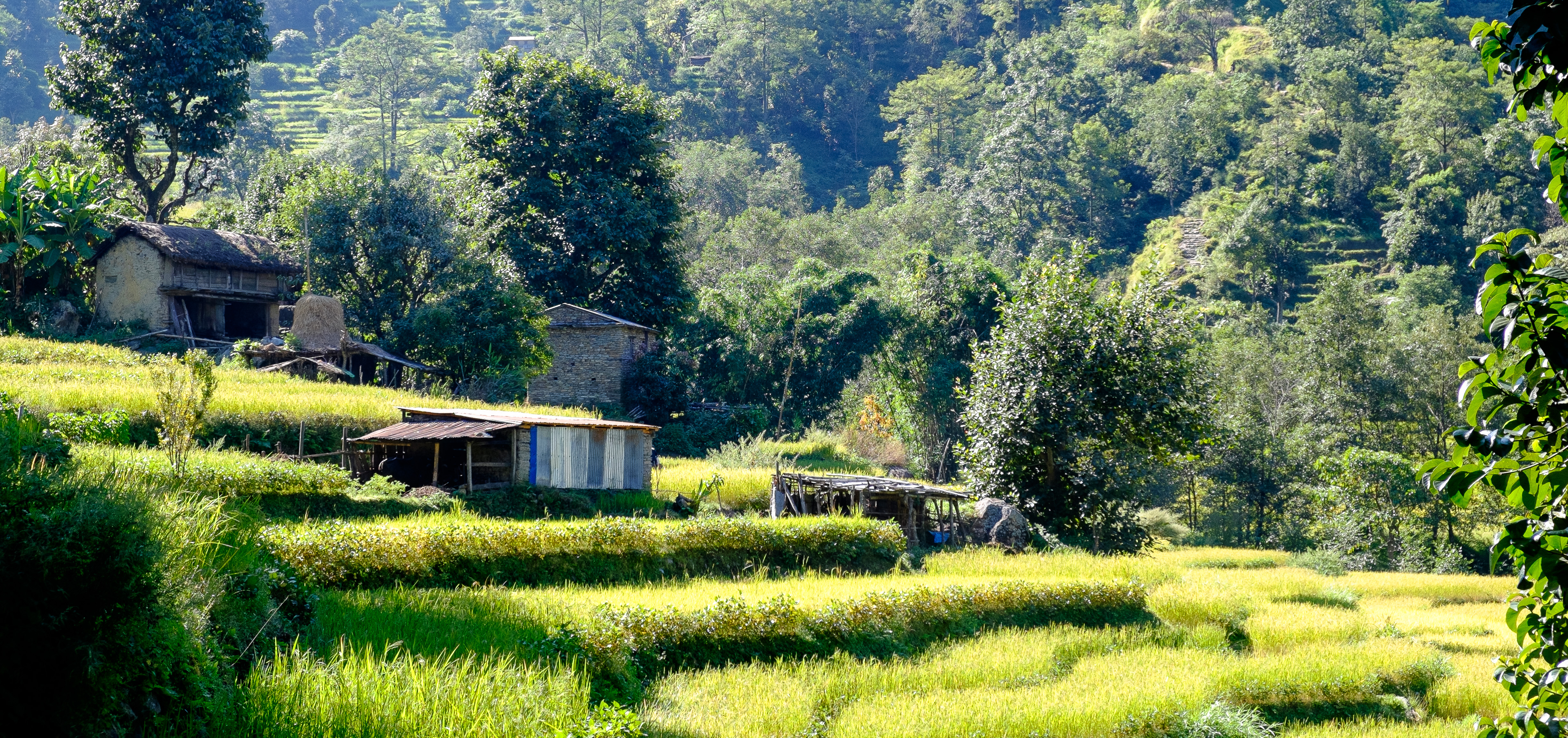
Village In the Mountains, Chamje to Dharapani, Annapurna Circuit, Nepal
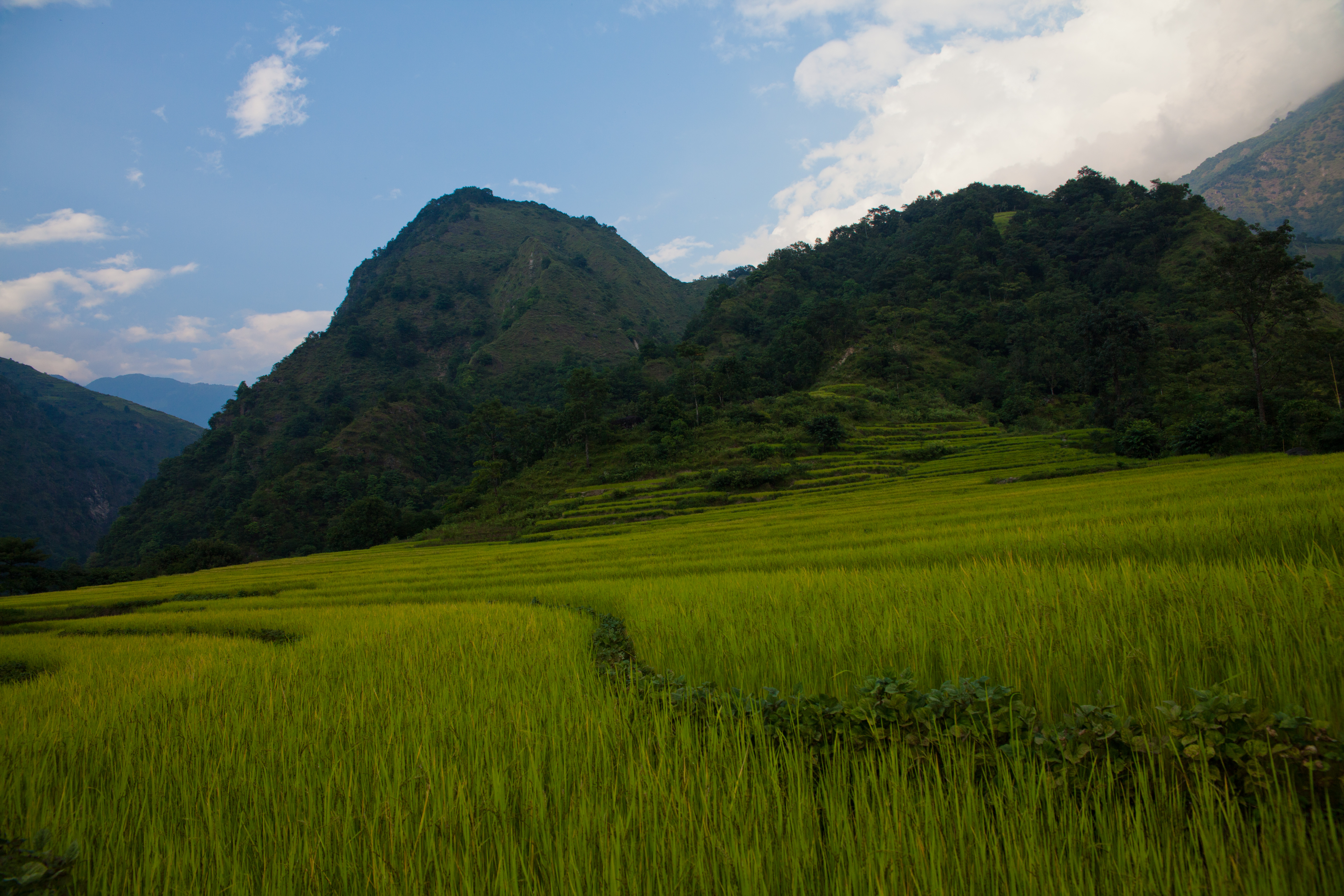
nepal geotagged himalaya annapurnacircuit npl bahundanda lampata pashchimanchal geo:lat=2833408333 geo:lon=8440346667
Rice fields
nepal geotagged himalaya annapurnacircuit npl bahundanda lampata pashchimanchal geo:lat=2833408333 geo:lon=8440346667
Rice fields
nepal mountain 2004 analog trekking trek landscape round himalaya ricefields annapurna bazar nadi annapurnas canoneos300
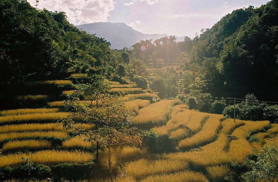
Ricefields near Nadi Bazar, Annapurnas round trek, Himalaya, Nepal, 2004
trip travel nepal vacation holiday tourism trekking reisen asia asien tour rice hiking urlaub reis visit location tourist journey mountaineering destination traveling himalaya annapurnacircuit freizeit wandern touring tourismus reise bhat ort thomasm besuch bergsteigen नेपाल westernregion wandertour bhulbhule annapurnaconservationarea nepāl marsyangdinadital marsyangdinadivalley pashchimānchalbikāskshetra पश्चिमाञ्चलविकासक्षेत्र
Reifender Reis
nepal bahundanda westernregion
VB_XT1_1371.jpg
travel nepal panorama cloud mountain color beautiful horizontal trek landscape asia outdoor scenic hike remote annapurnacircuit annapurna himalayas chamje gandaki lamjung jagat annapurnaconservationarea
Mountains In the Clouds, Chamje to Dharapani, Annapurna Circuit, Nepal
nepal mountain 2004 analog trekking trek landscape rice farmers harvest round himalaya ricefields annapurna annapurnas canoneos300 bahundanda
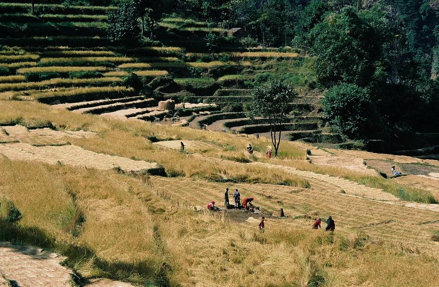
Rice harvest near Bahundanda, Annapurnas round trek, Himalaya, Nepal, 2004
road travel nepal color beautiful horizontal trek landscape asia stream outdoor scenic hike rainy annapurnacircuit annapurna chamje gandaki lamjung jagat annapurnaconservationarea
Rough Journey, Chamje to Dharapani, Annapurna Circuit, Nepal
travel nepal color beautiful horizontal trek landscape waterfall asia jeep outdoor scenic hike annapurnacircuit annapurna chamje gandaki lamjung jagat annapurnaconservationarea
Rough Road, Chamje to Dharapani, Annapurna Circuit, Nepal
travel nepal color beautiful vertical trek landscape waterfall asia outdoor scenic hike annapurnacircuit annapurna chamje gandaki lamjung jagat annapurnaconservationarea
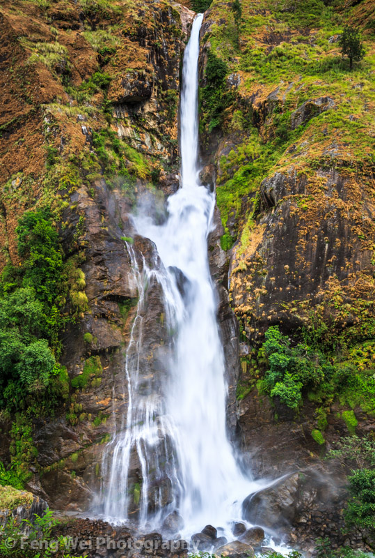
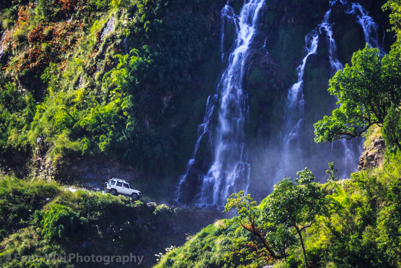
Cascading Waterfall, Chamje, Annapurna Circuit, Nepal
20120927_Z (61)
bridge nepal mountain 2004 analog forest trekking trek landscape suspension round himalaya mules annapurna annapurnas canoneos300
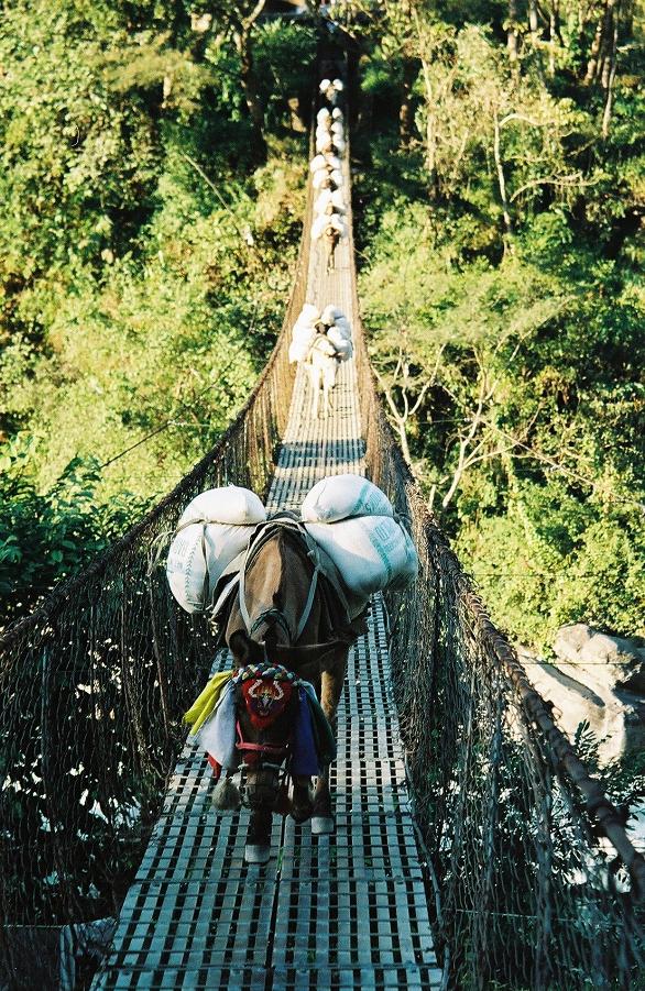
Local deliveries, Annapurnas round trek, Himalaya, Nepal, 2004
travel nepal color beautiful vertical trek landscape waterfall asia outdoor scenic hike annapurnacircuit annapurna chamje gandaki lamjung jagat annapurnaconservationarea
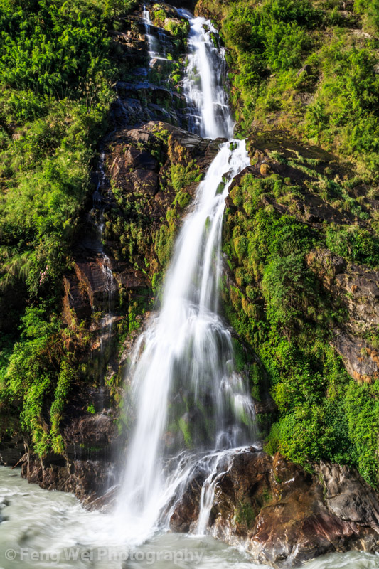
Cascading Waterfall, Chamje to Dharapani, Annapurna Circuit, Nepal
20120929_Syange to Taal (45)
travel nepal color beautiful vertical trek river landscape asia jeep outdoor scenic canyon hike annapurnacircuit marsyangdi annapurna chamje gandaki lamjung jagat marshyangdi annapurnaconservationarea
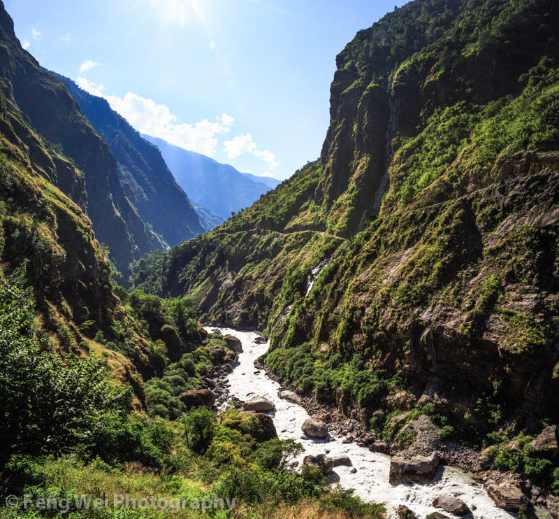
Marshyangdi River Canyon, Chamje to Dharapani, Annapurna Circuit, Nepal

Topographic Map of Gandaki, Nepal

Find elevation by address:


Places in Gandaki, Nepal:

Places near Gandaki, Nepal:

Recent Searches: