Elevation of Aanbu Khaireni, Nepal
Location: Nepal > Western Region > Gandaki >
Longitude: 84.5117321
Latitude: 27.8978947
Elevation: 760m / 2493feet
Barometric Pressure: 93KPa
Elevation Map:
Satellite Map:
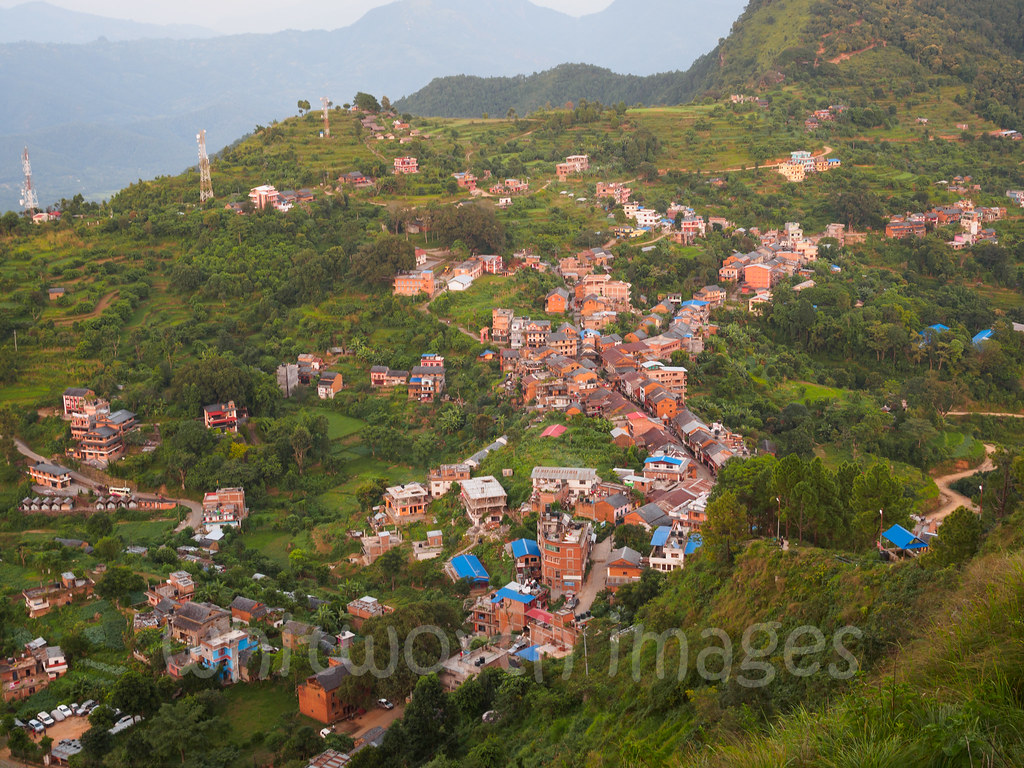
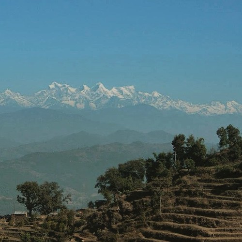
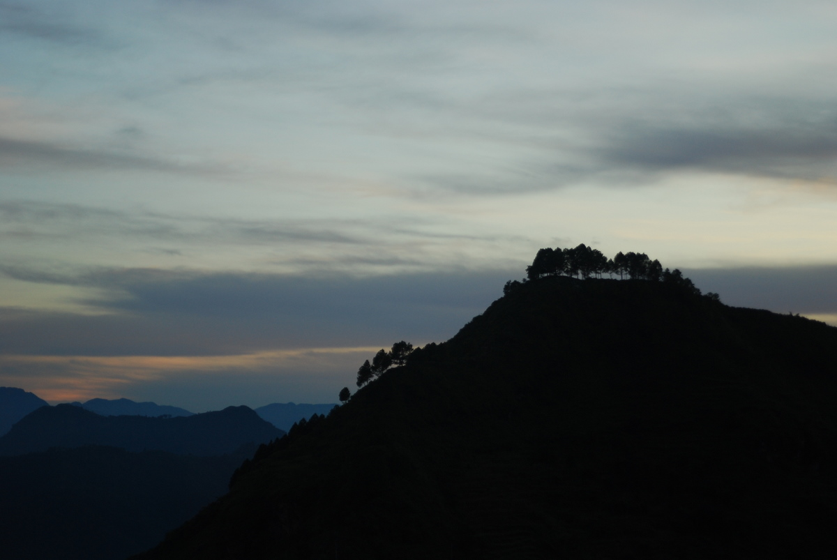
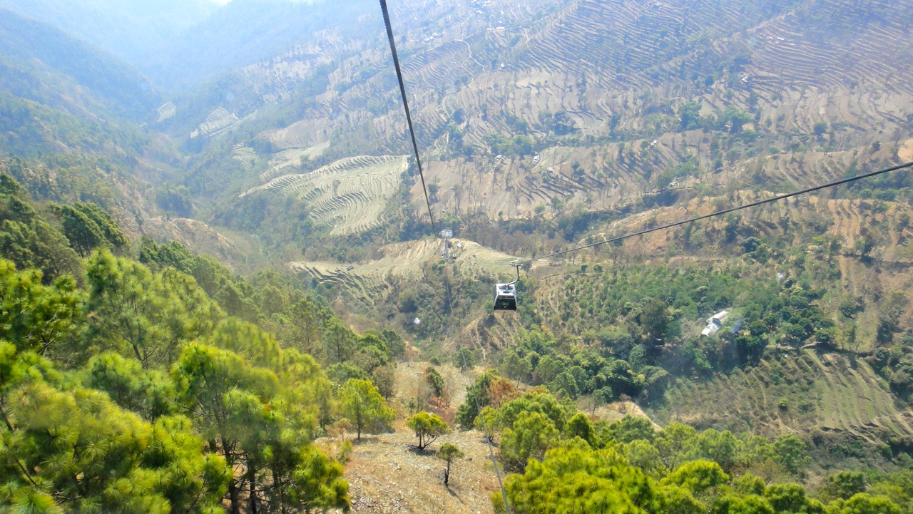
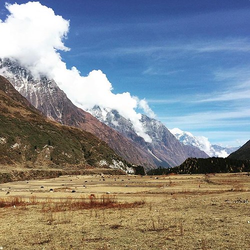
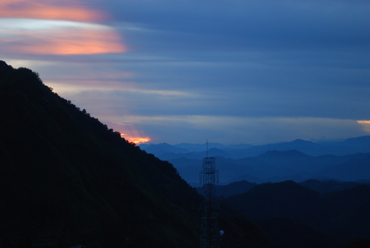
Related Photos:
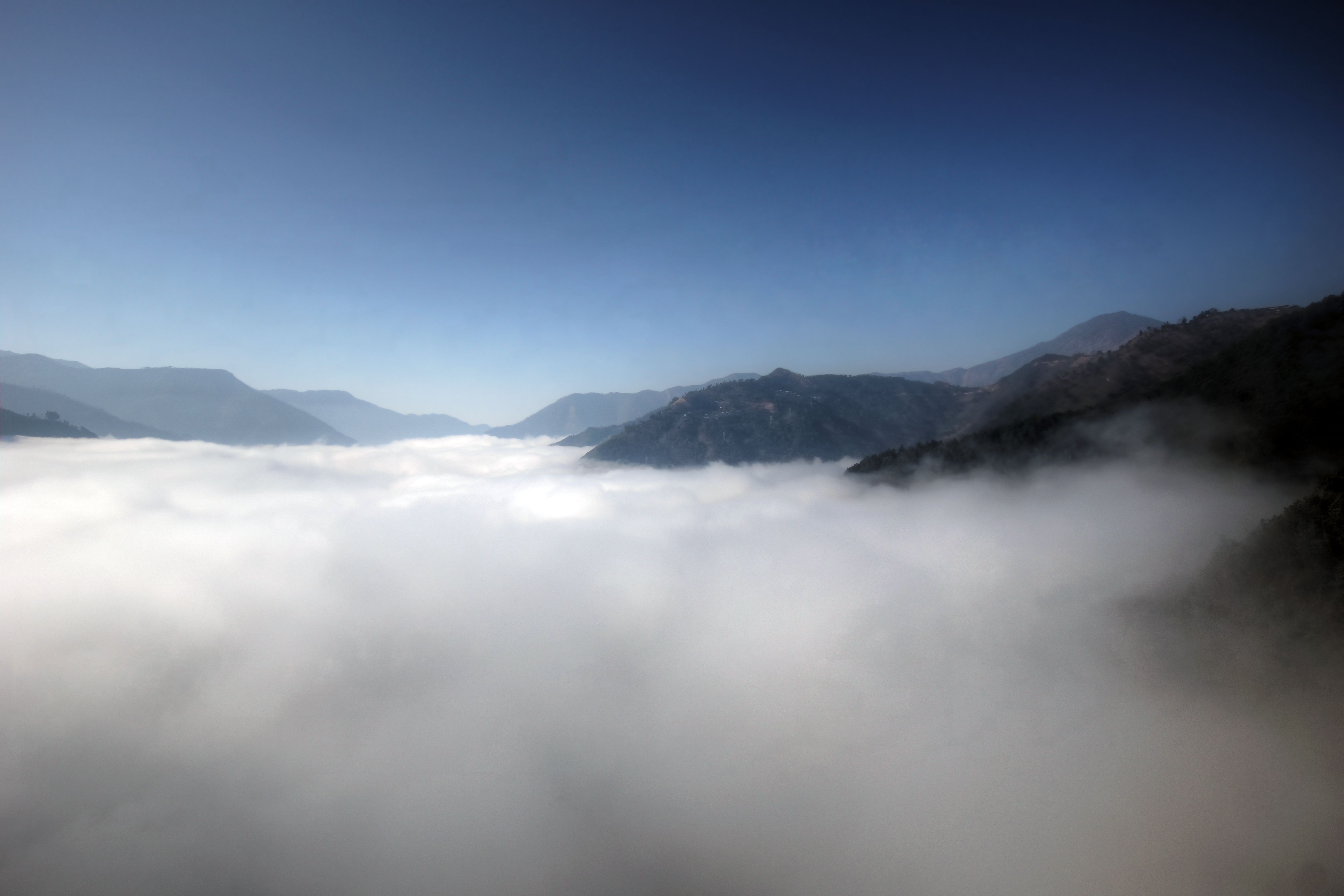
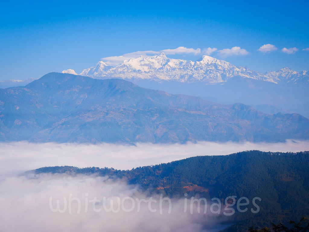
nepal above clouds
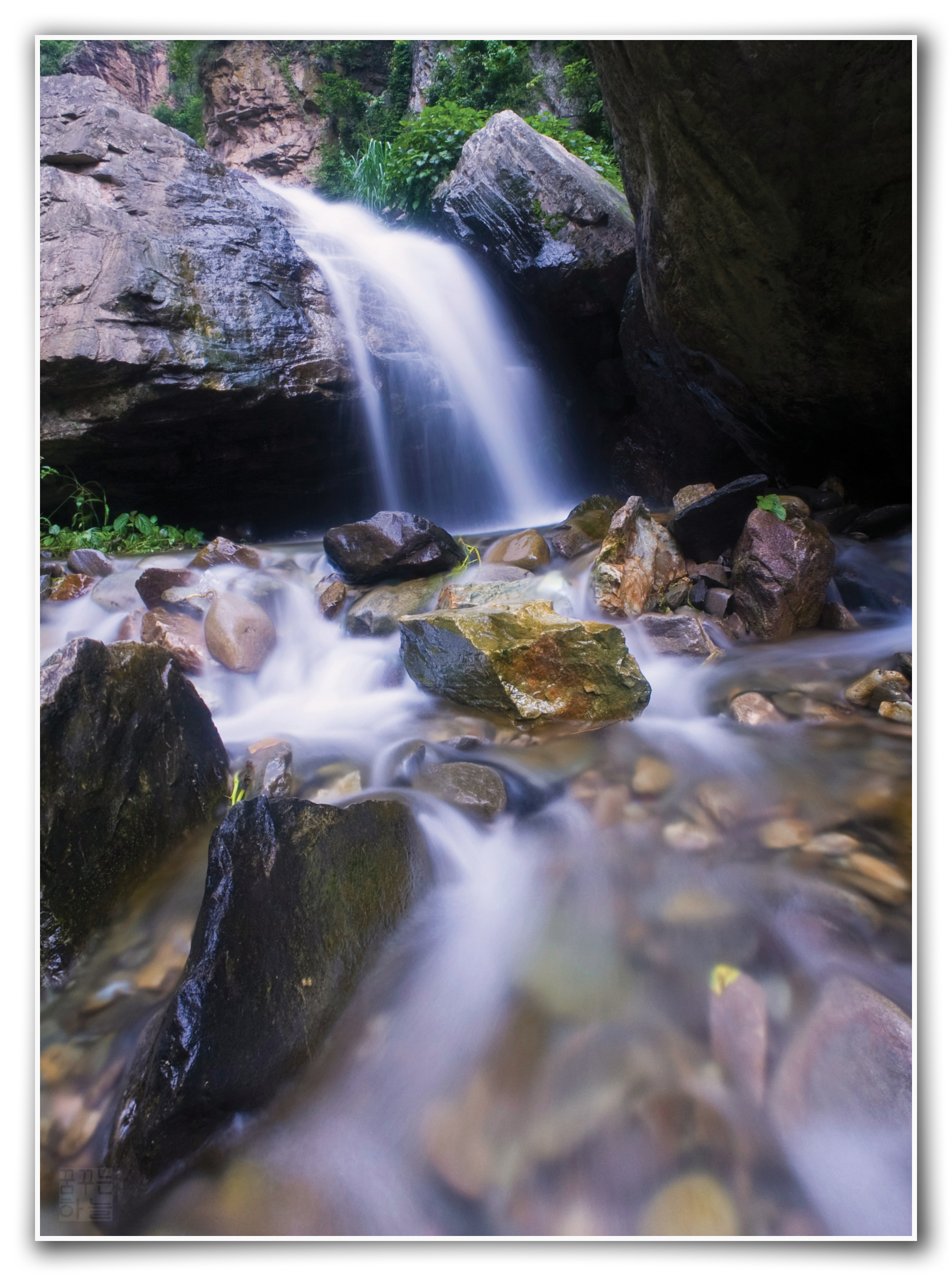
Spirit of Water (3) - Marsyangdi Waterfall - Nepal
The Mountains
Manaslu Circuit - day 8
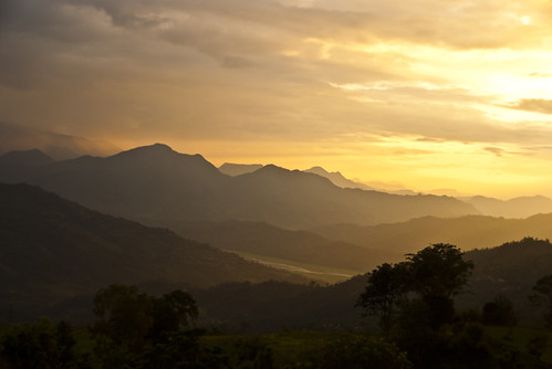
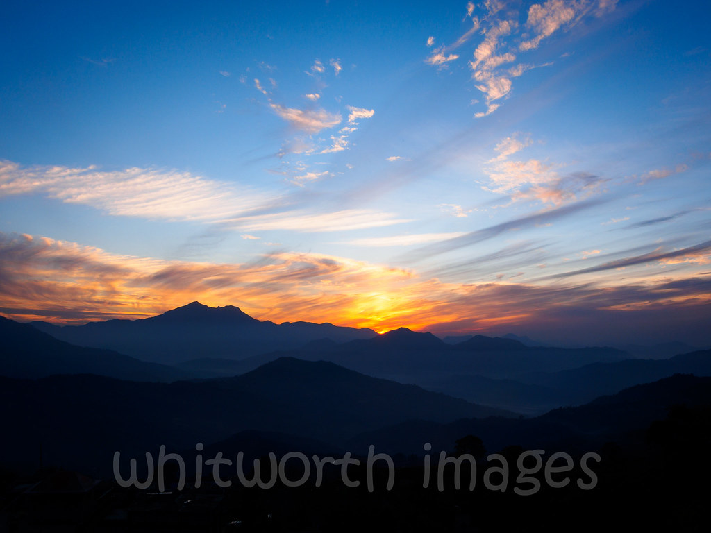
Sunset view from Bandipur

night view

Those Tiny Twinkling Lights

The Village of Gorkha, Nepal

Tundikhel view
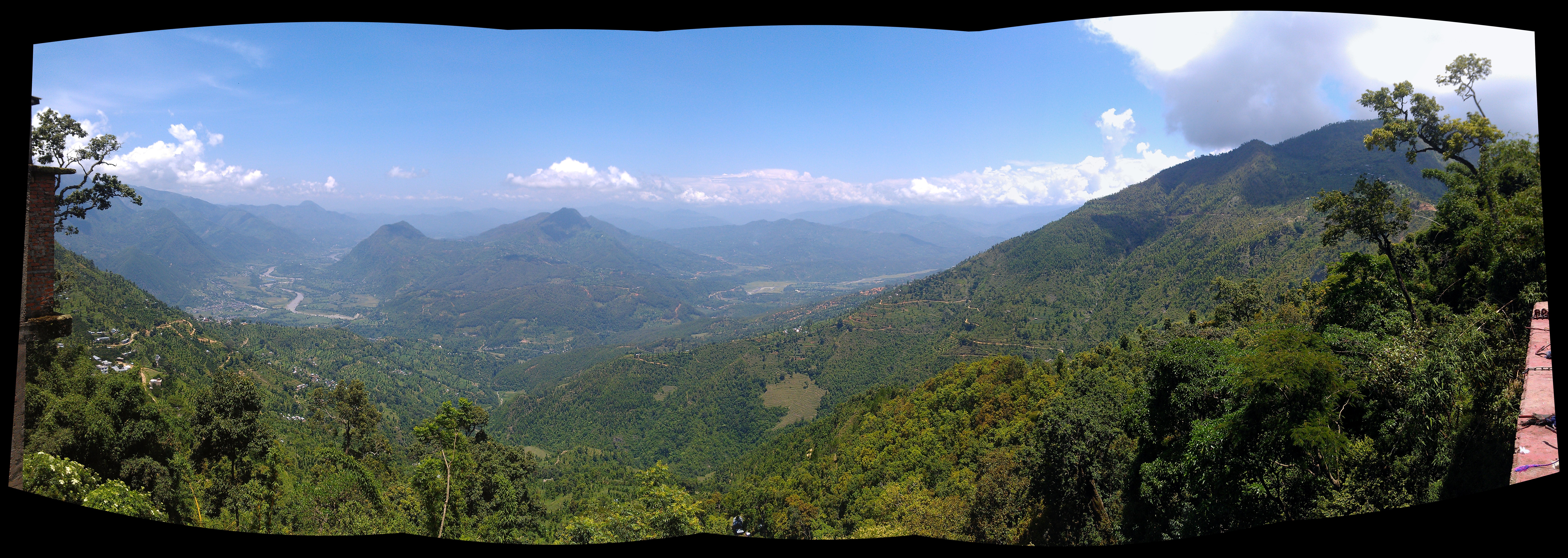
view from Manakamana Temple, Nepal (uncropped panorama)
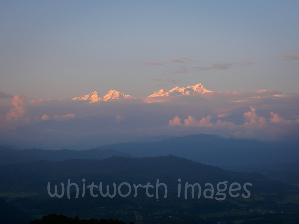
Manasalu at sunset
Bandipur's View

Bandipur Gateway to the view point (Dennis get out of the way!) IMG_3054

Clouds Stuck in The Mountain

Bandipur, Nepal

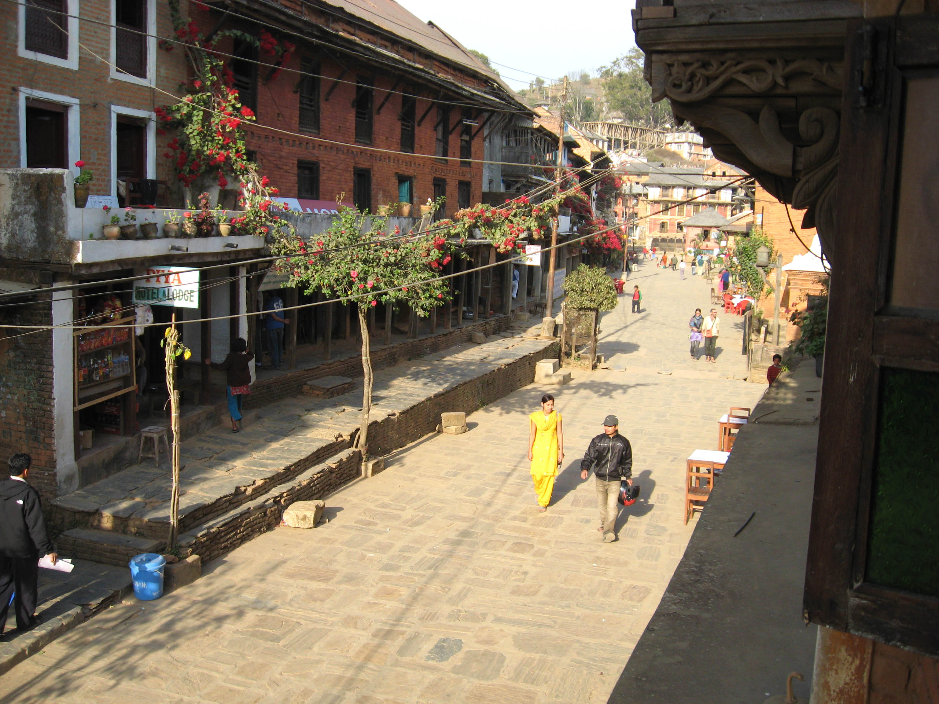
Main Street, Bandipur, Nepal
Bandipur, Nepal
Gorkha sunset view

Cloud-filled valley
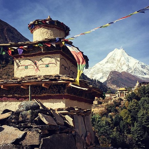
Manasalu above the fog

View from Durga temple, Manakamana
20180929.0283.NEPAL.Mugling.Benitar
I hope those fires don't kick up
20180929.0282.NEPAL.Mugling.Benitar
_DSC1873-Bearbeitet.jpg
F*ck still more?
The Roads of Nepal

Bandipur - West Nepal
Still going
20180929.0307.NEPAL.Chhapgau
Bandipur, Népal
Yep more is coming see!
Way down
Manaslu Circuit - day 9

Manaslu Trekking booking 2017 : So beautiful, Mount Manaslu ???? Photo: @centreholidays #nepal #nepalguideinfo #nepalisbeautiful #explore #explorenepal #nepalisbeautiful #sunrise #manaslu #morning #wow #beautiful #manaslucircuit #mountains #mountai
And thats it, I am going home!
K5MkIIs-080214-050

Bandipur, Nepal
Topographic Map of Aanbu Khaireni, Nepal
Find elevation by address:

Places near Aanbu Khaireni, Nepal:
Manakamana
Dhuwakot
Manakamana Temple
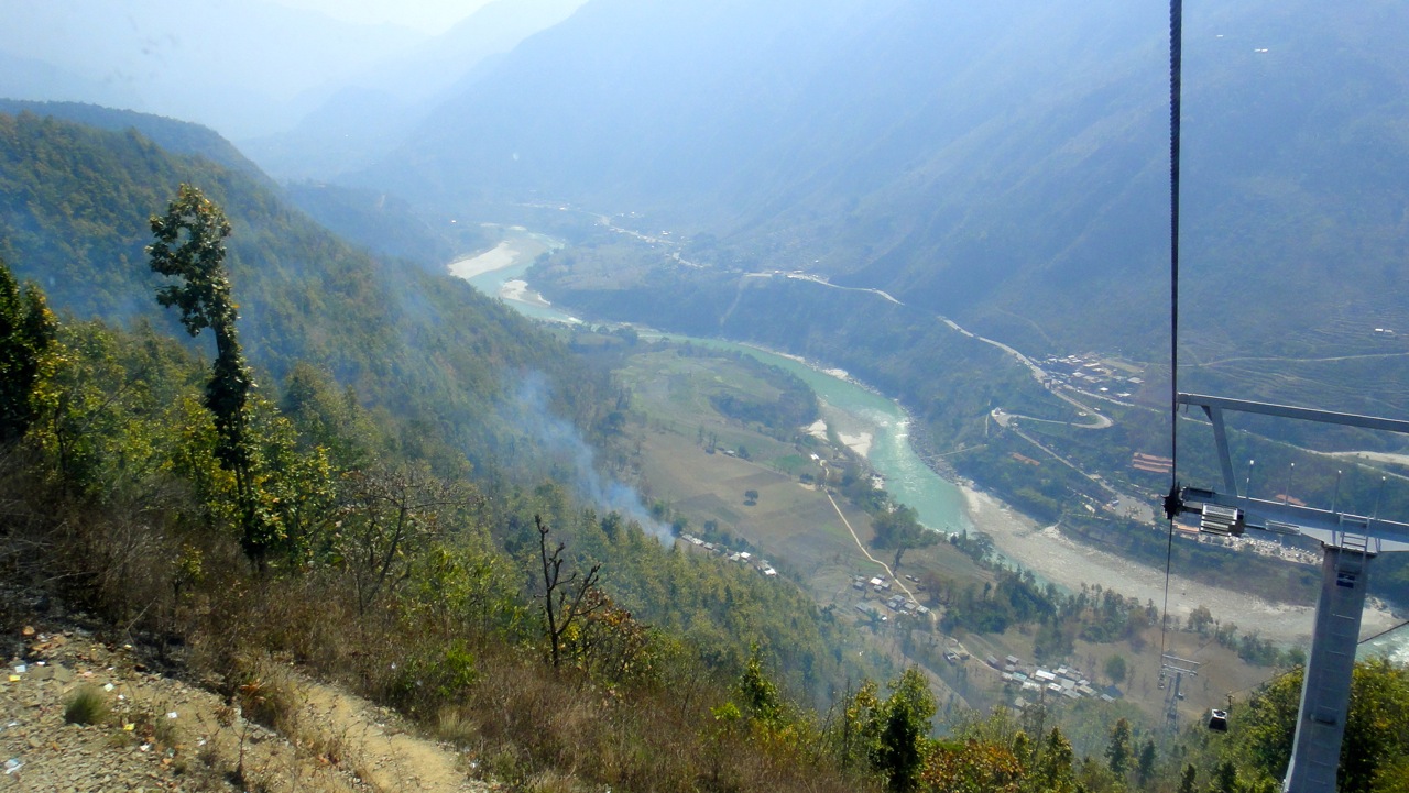
Manakamana Cable Car
Pokharigaira
Thumka - Korikha - Bahunbhanjyan Road
Kurintar
Nayapul
Kamdhenu Cow Farm, Chyangli Gorkha
Chyangli
Bandipur
Darechok
Chhebetar Sport Field
Gorkha Gaun
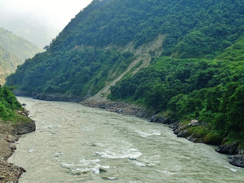
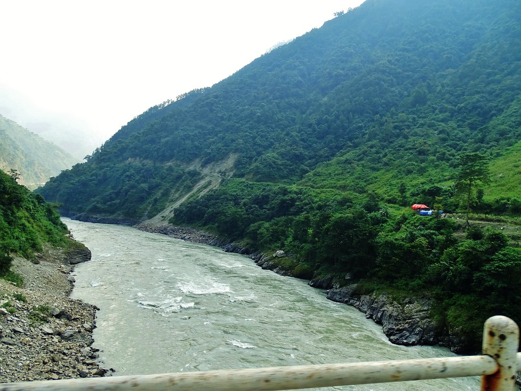
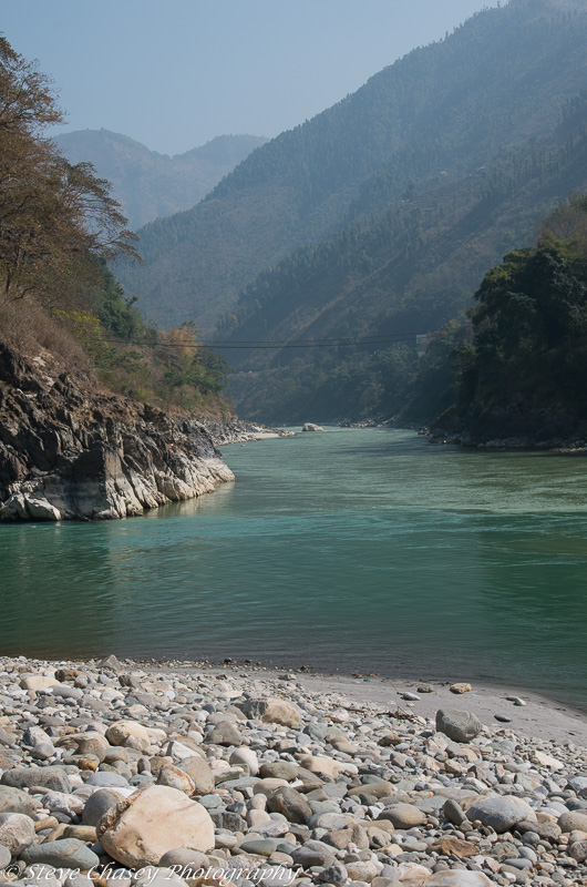
River
Bhanu
Gorkha
Ghairung
Palungtar
Batase
Recent Searches:
- Elevation of Elwyn Dr, Roanoke Rapids, NC, USA
- Elevation of Congressional Dr, Stevensville, MD, USA
- Elevation of Bellview Rd, McLean, VA, USA
- Elevation of Stage Island Rd, Chatham, MA, USA
- Elevation of Shibuya Scramble Crossing, 21 Udagawacho, Shibuya City, Tokyo -, Japan
- Elevation of Jadagoniai, Kaunas District Municipality, Lithuania
- Elevation of Pagonija rock, Kranto 7-oji g. 8"N, Kaunas, Lithuania
- Elevation of Co Rd 87, Jamestown, CO, USA
- Elevation of Tenjo, Cundinamarca, Colombia
- Elevation of Côte-des-Neiges, Montreal, QC H4A 3J6, Canada