Elevation of Manakamana Cable Car, Barbote, Manakamana, Nepal
Location: Nepal > Western Region > Gandaki > Manakamana > Pokharigaira >
Longitude: 84.5854568
Latitude: 27.9033085
Elevation: 1301m / 4268feet
Barometric Pressure: 87KPa
Elevation Map:
Satellite Map:
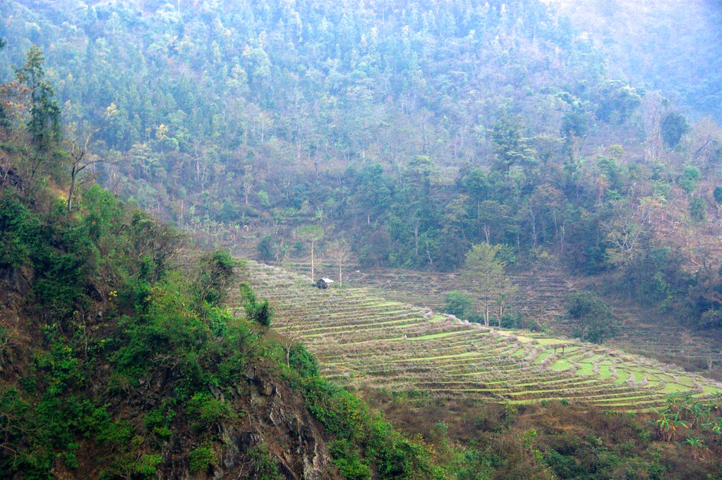
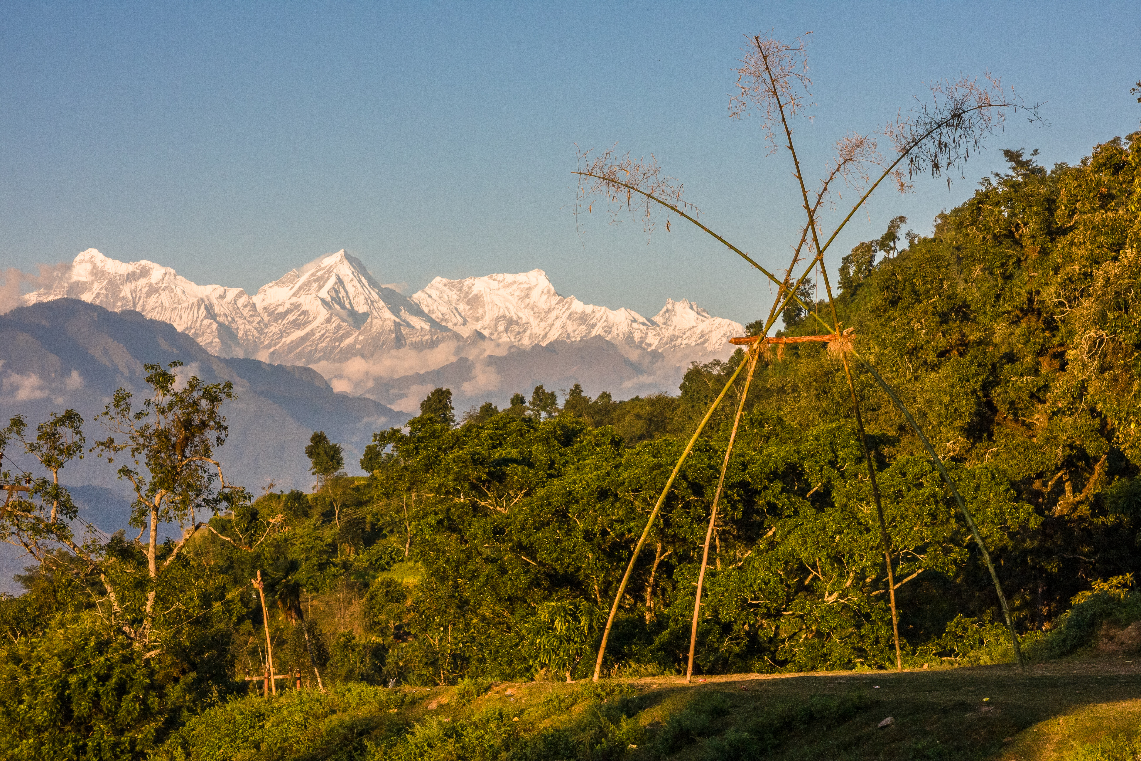
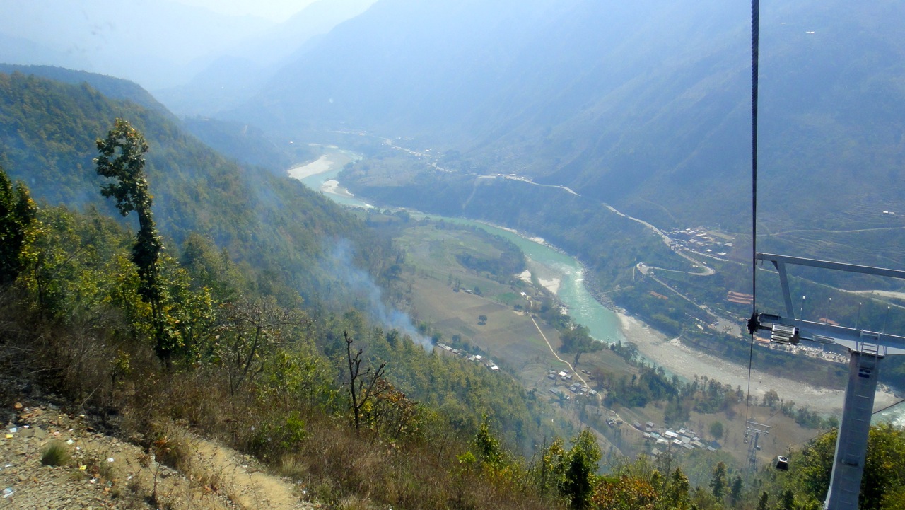
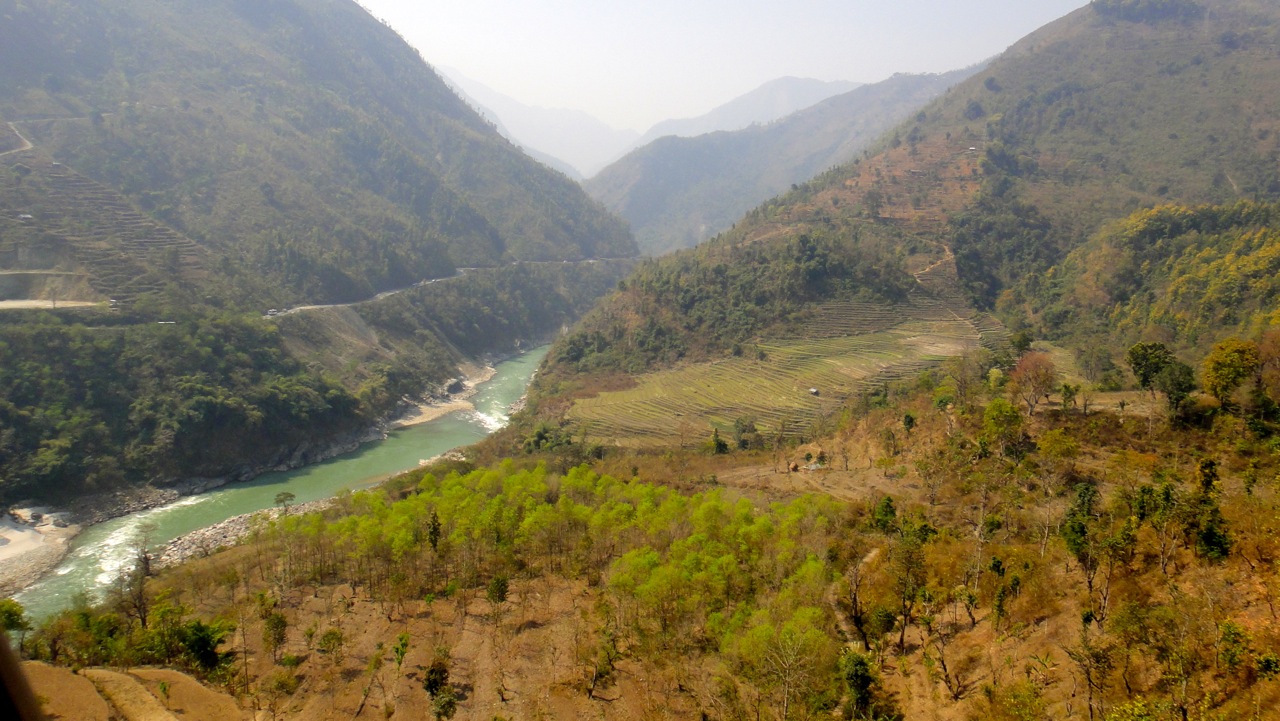
Related Photos:
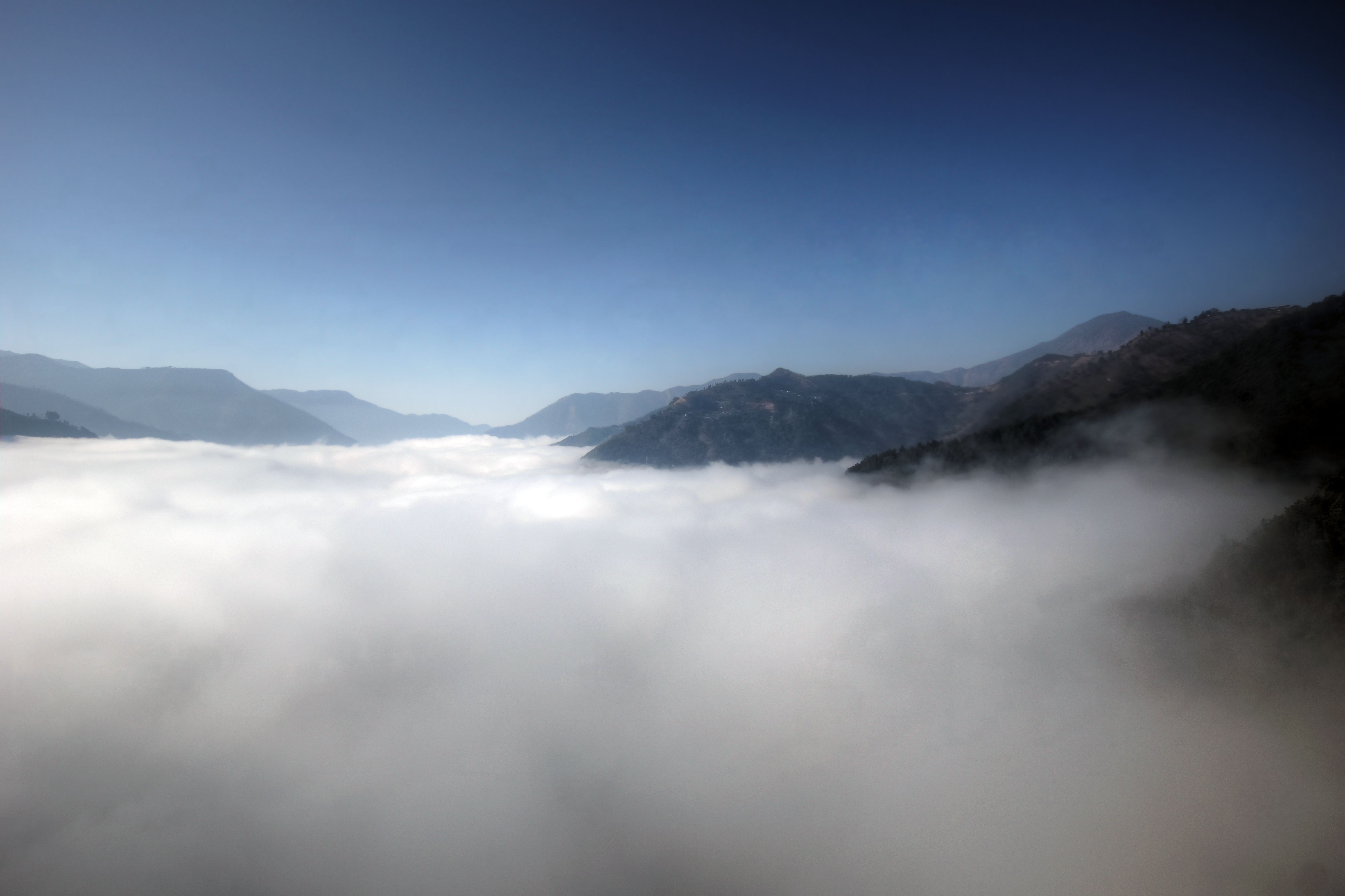
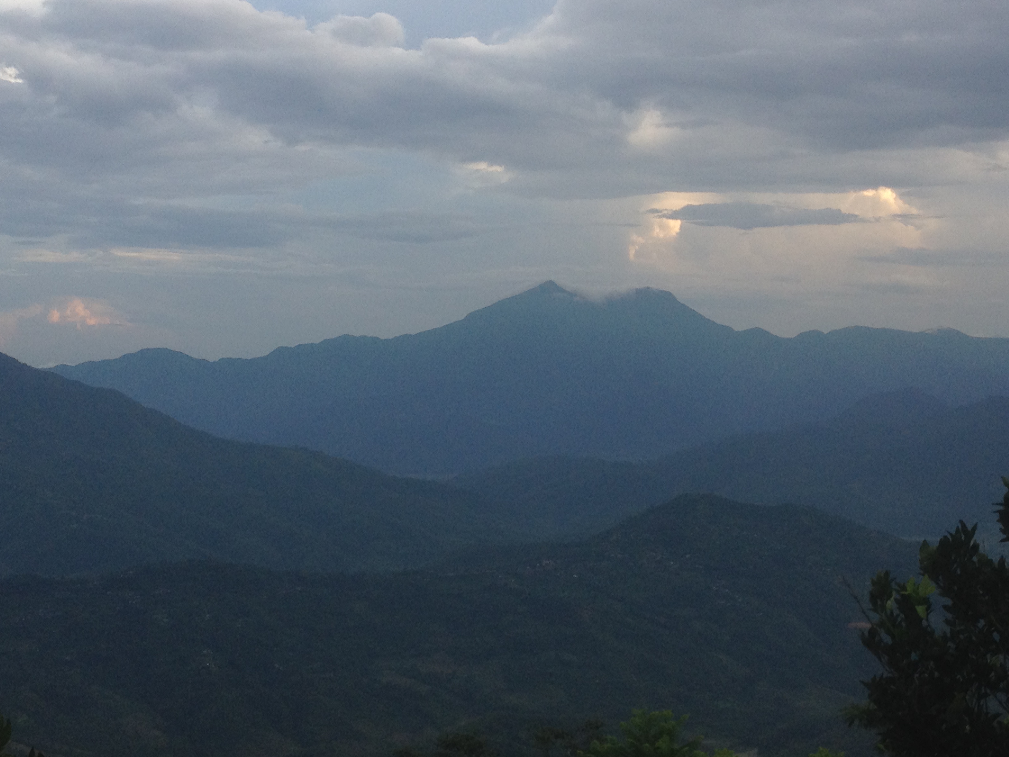
nepal above clouds
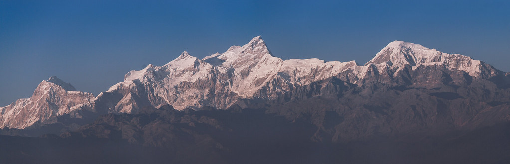
Manaslu & Himalchuli Peaks (From Gorkha Durbaar)

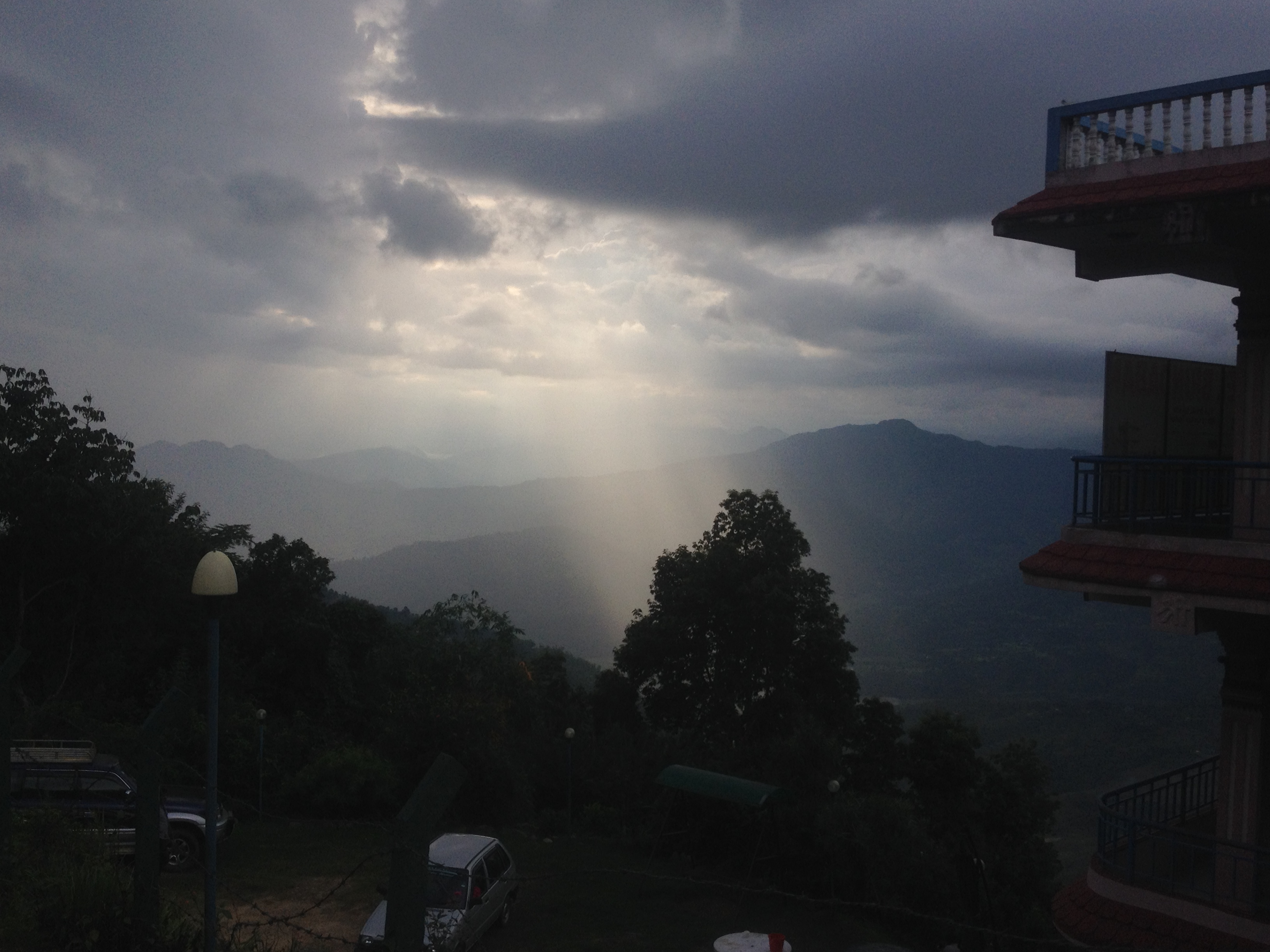
Clouds Stuck in The Mountain

THE ROLLING SUN
Amazing view
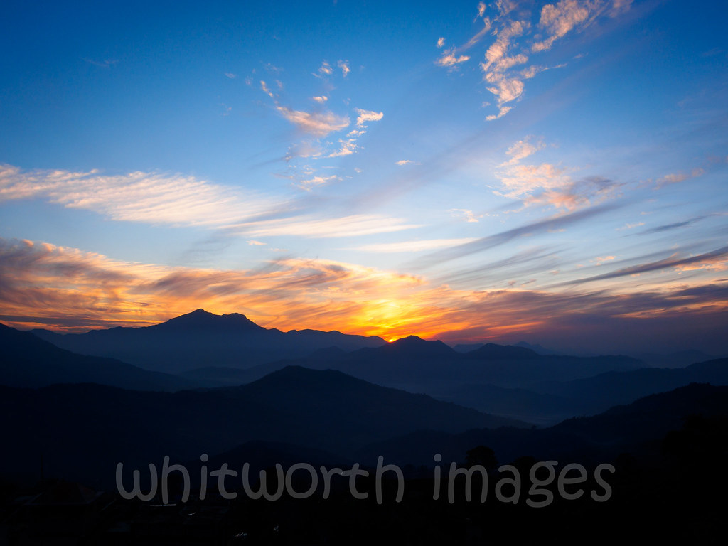
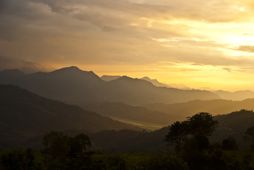
Gorkha sunset view
Gorkha view
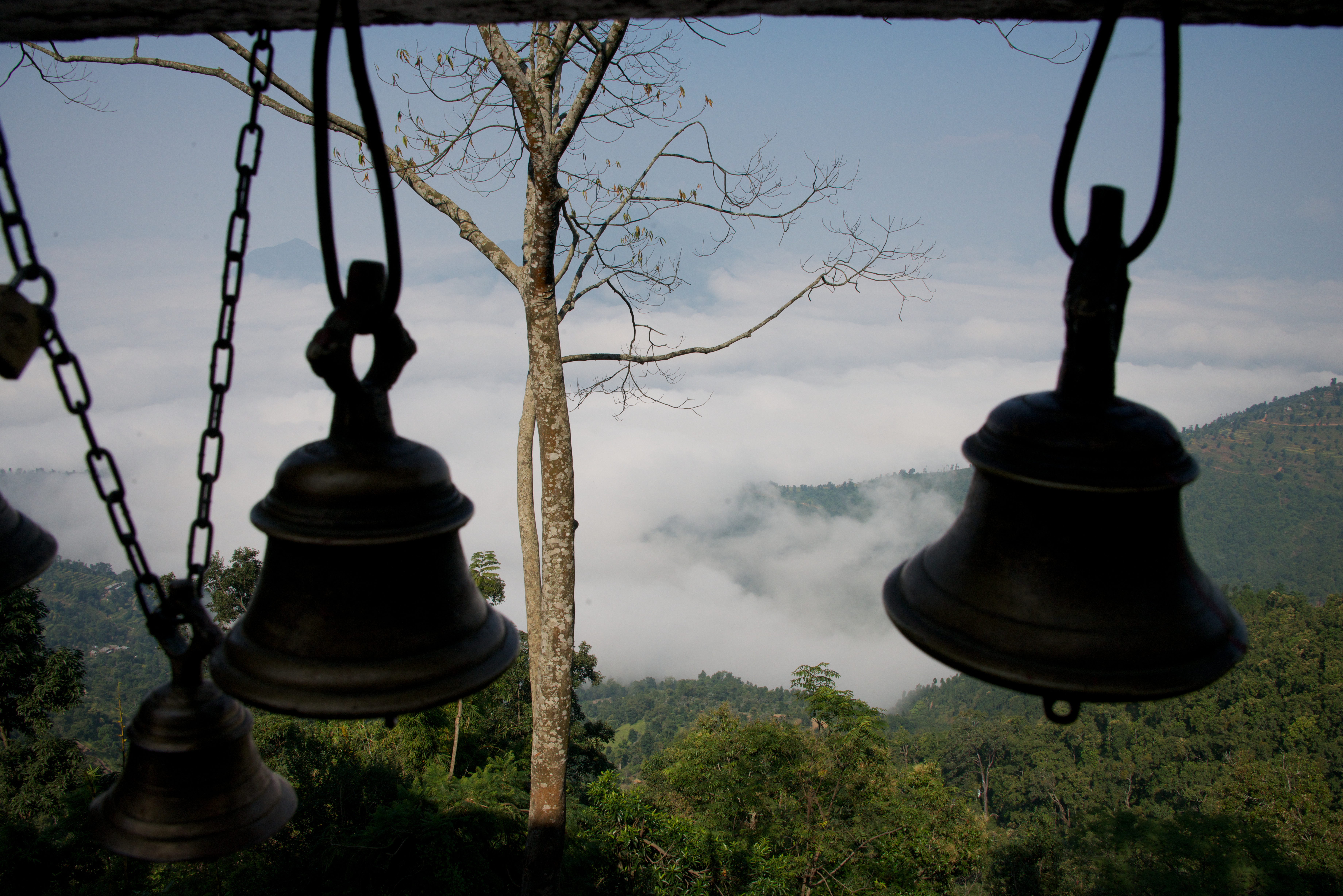
the view through the bells
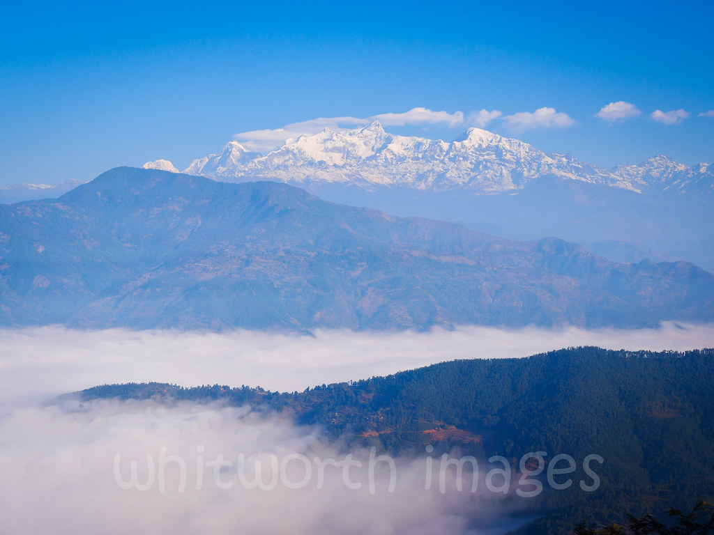
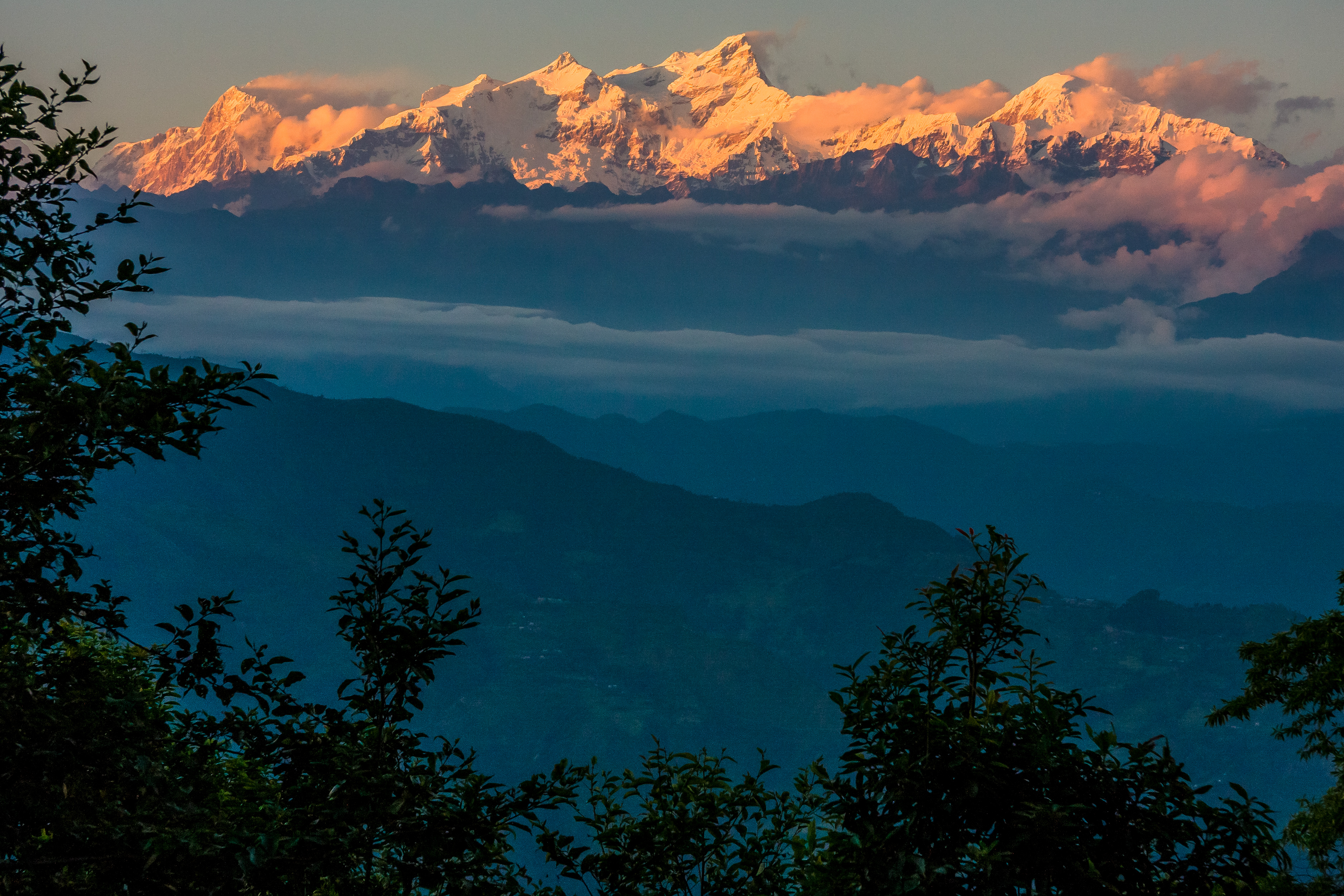
Manasalu above the fog
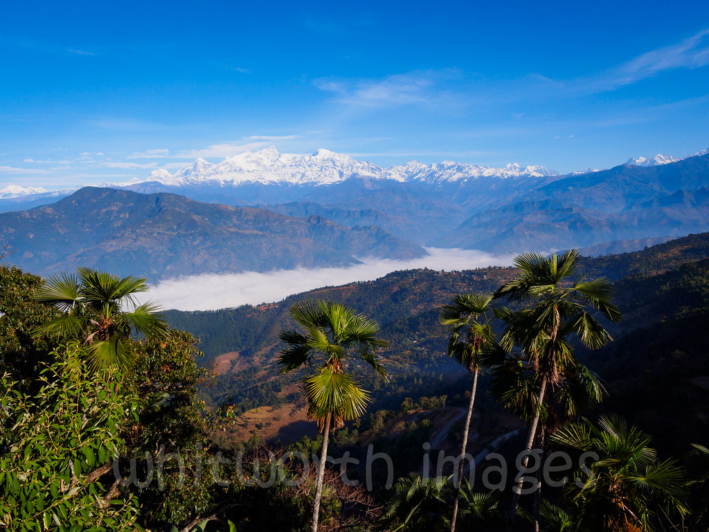
View to Manasalu from Gorkha

Those Tiny Twinkling Lights

The Village of Gorkha, Nepal
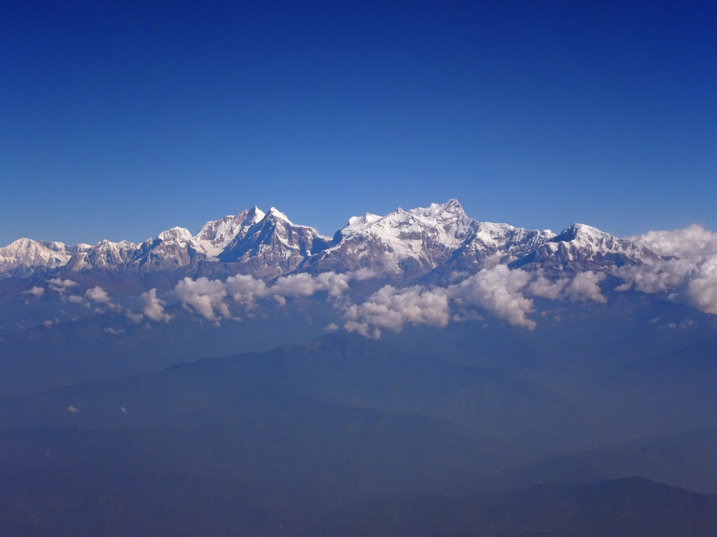
View to Manasalu Himal
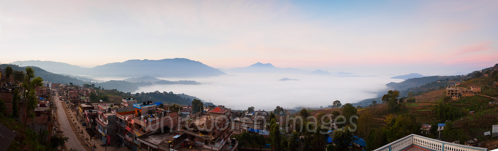
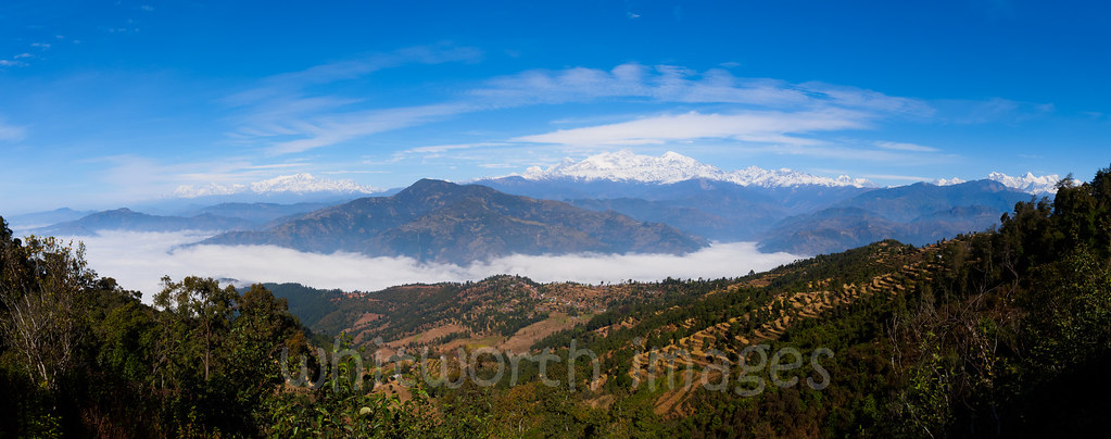
view from Manakamana Temple, Nepal (uncropped panorama)

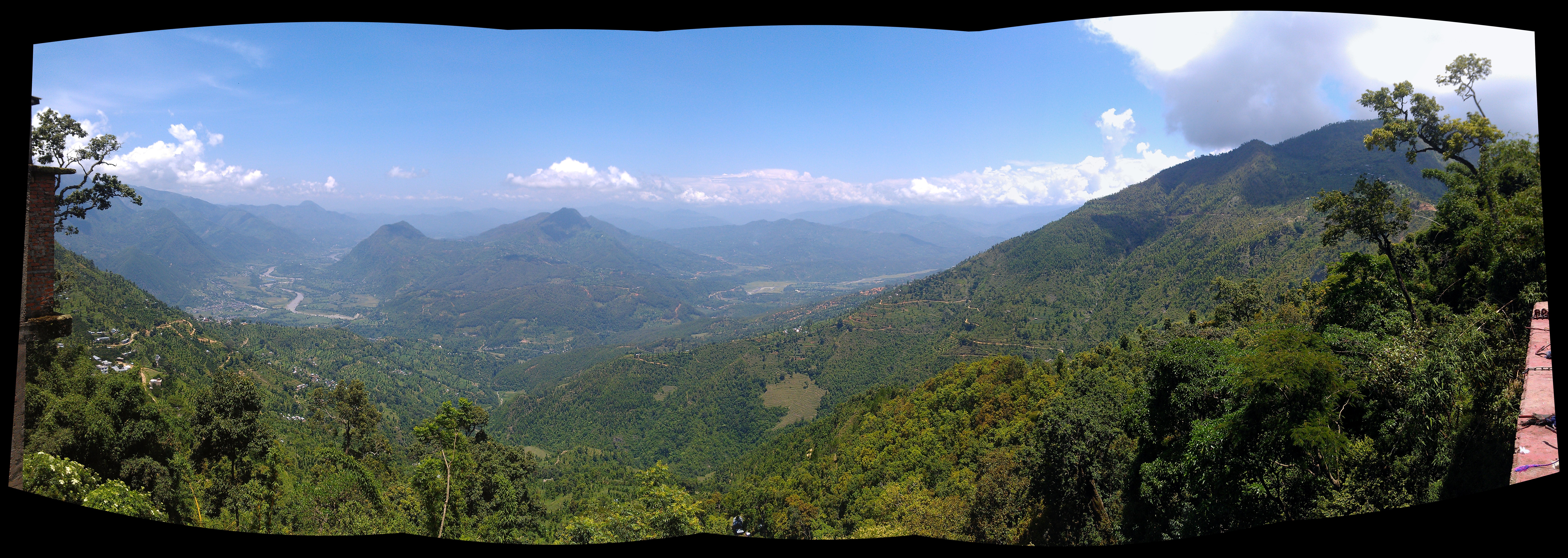
view from the gondola to Manakamana

View from Durga temple, Manakamana
W_Nepal_2013 Mansiri Himal (Manaslu)
Nep156 View from Gorkha
Nep157 View from Gorkha

Nep170 View from Tanglichowk
Nep150 View from near Gorkha palace
Himal Chuli
The Mountains

Himalayan village
2012-02-16 at 22-24-05
Ganesh Himal

#manaslucircuit #mtmanaslu #larkeypass #manaslucircuittrek #manaslucanservation #larkeypass #HTers #HashTags #fun #holiday #igtravel #instago #instagood #instapassport #instatravel #instatraveling #mytravelgram #photooftheday #tourism #tourist #travel #tr
I hope those fires don't kick up
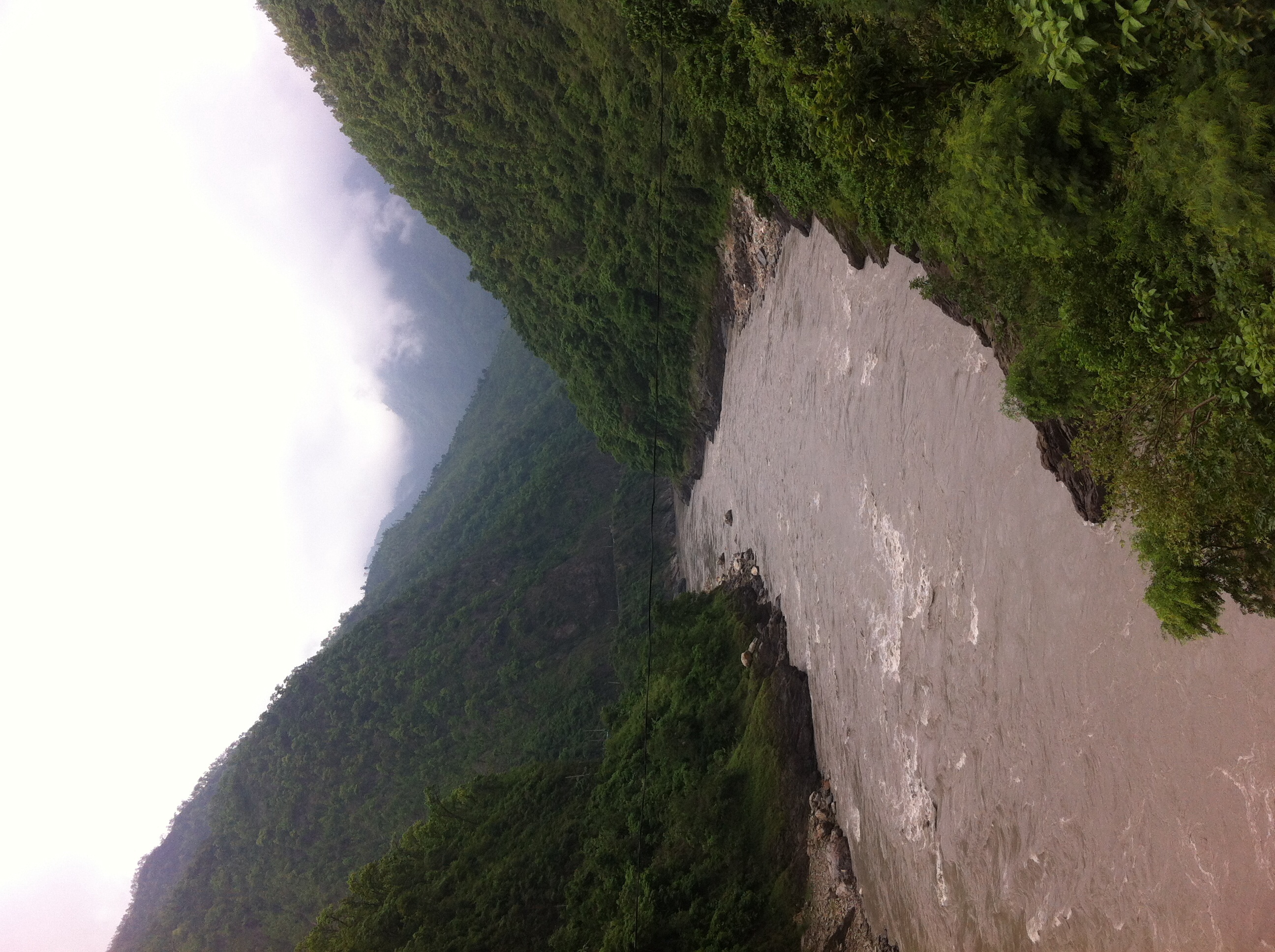
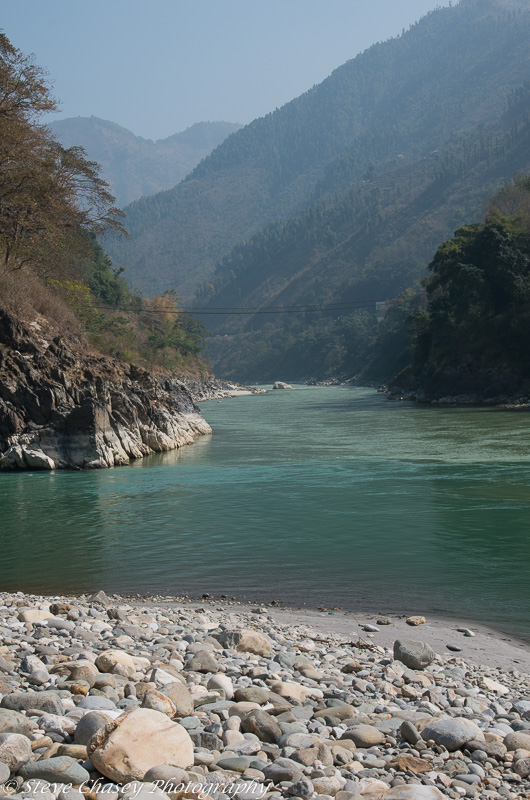
Looking down the river valley
K5MkIIs-080214-050
K5MkIIs-100214-060
Way down

MJ1_7859.jpg

Weeeee!
Nepal Valley

20140114-144114.jpg
Topographic Map of Manakamana Cable Car, Barbote, Manakamana, Nepal
Find elevation by address:

Places near Manakamana Cable Car, Barbote, Manakamana, Nepal:
Manakamana Temple
Pokharigaira
Manakamana
Kurintar
Darechok
Gorkha Gaun
Aanbu Khaireni
Ghairung
Batase
Gorkha
Chhebetar Sport Field
Phisling
Fisling Supension Bridge
Fishling Bazar
Gorkha Palace
Dhuwakot
Bhumlichowk
Chyangli
Thumka - Korikha - Bahunbhanjyan Road
Chhoprak
Recent Searches:
- Elevation of W Granada St, Tampa, FL, USA
- Elevation of Pykes Down, Ivybridge PL21 0BY, UK
- Elevation of Jalan Senandin, Lutong, Miri, Sarawak, Malaysia
- Elevation of Bilohirs'k
- Elevation of 30 Oak Lawn Dr, Barkhamsted, CT, USA
- Elevation of Luther Road, Luther Rd, Auburn, CA, USA
- Elevation of Unnamed Road, Respublika Severnaya Osetiya — Alaniya, Russia
- Elevation of Verkhny Fiagdon, North Ossetia–Alania Republic, Russia
- Elevation of F. Viola Hiway, San Rafael, Bulacan, Philippines
- Elevation of Herbage Dr, Gulfport, MS, USA