Elevation of Ngadi Chuli, Samagaun, Nepal
Location: Nepal > Western Region > Gandaki > Samagaun >
Longitude: 84.5666666
Latitude: 28.5033333
Elevation: 7820m / 25656feet
Barometric Pressure: 37KPa
Elevation Map:
Satellite Map:
Related Photos:
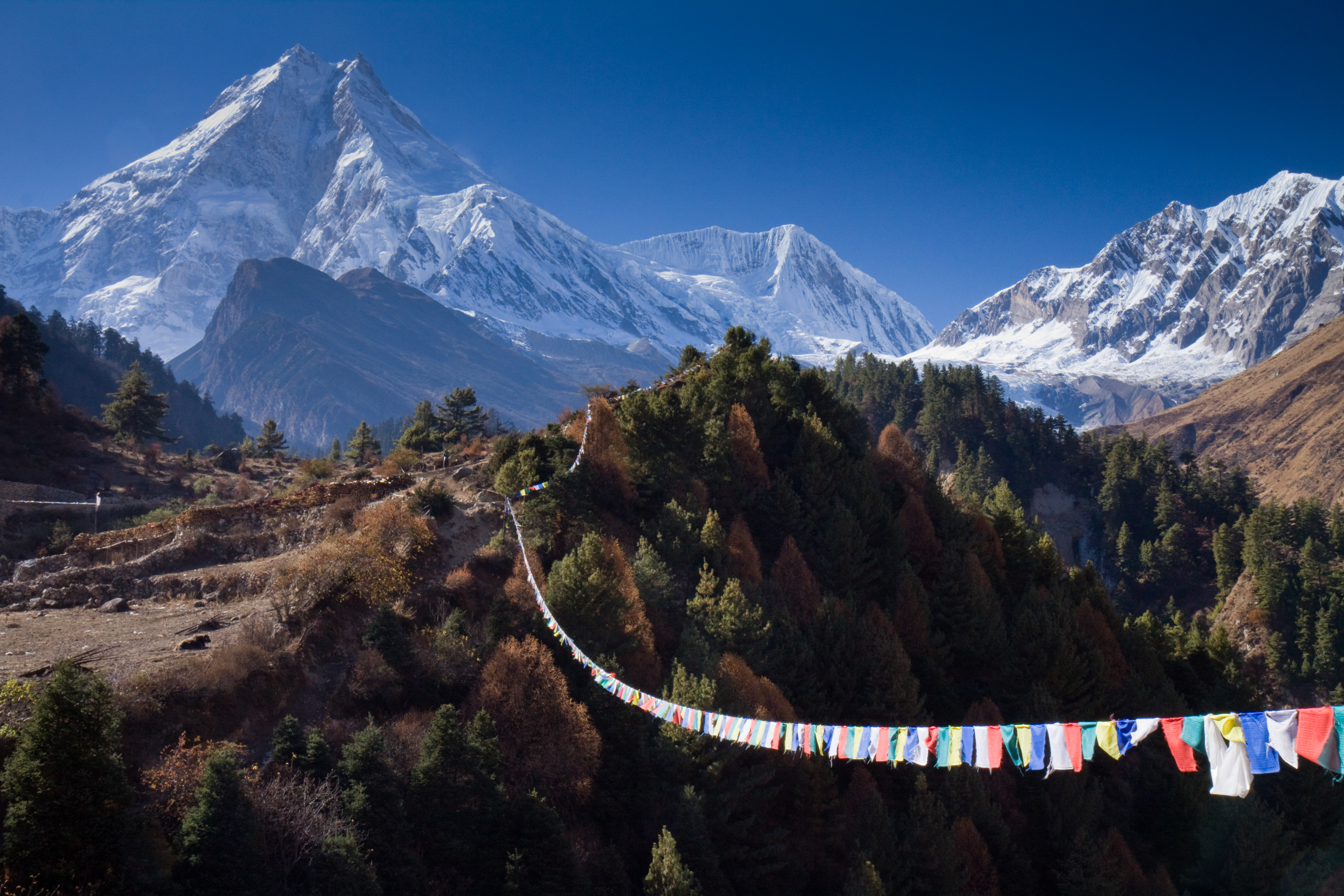
The View the Other Way isn't Bad Either

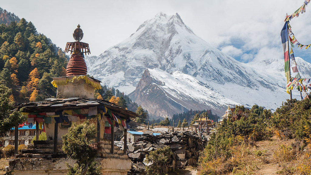
Stupendous Stupa View

Foreground colour
Manaslu view

Manaslu View

Mt Manaslu, 26,760 feet
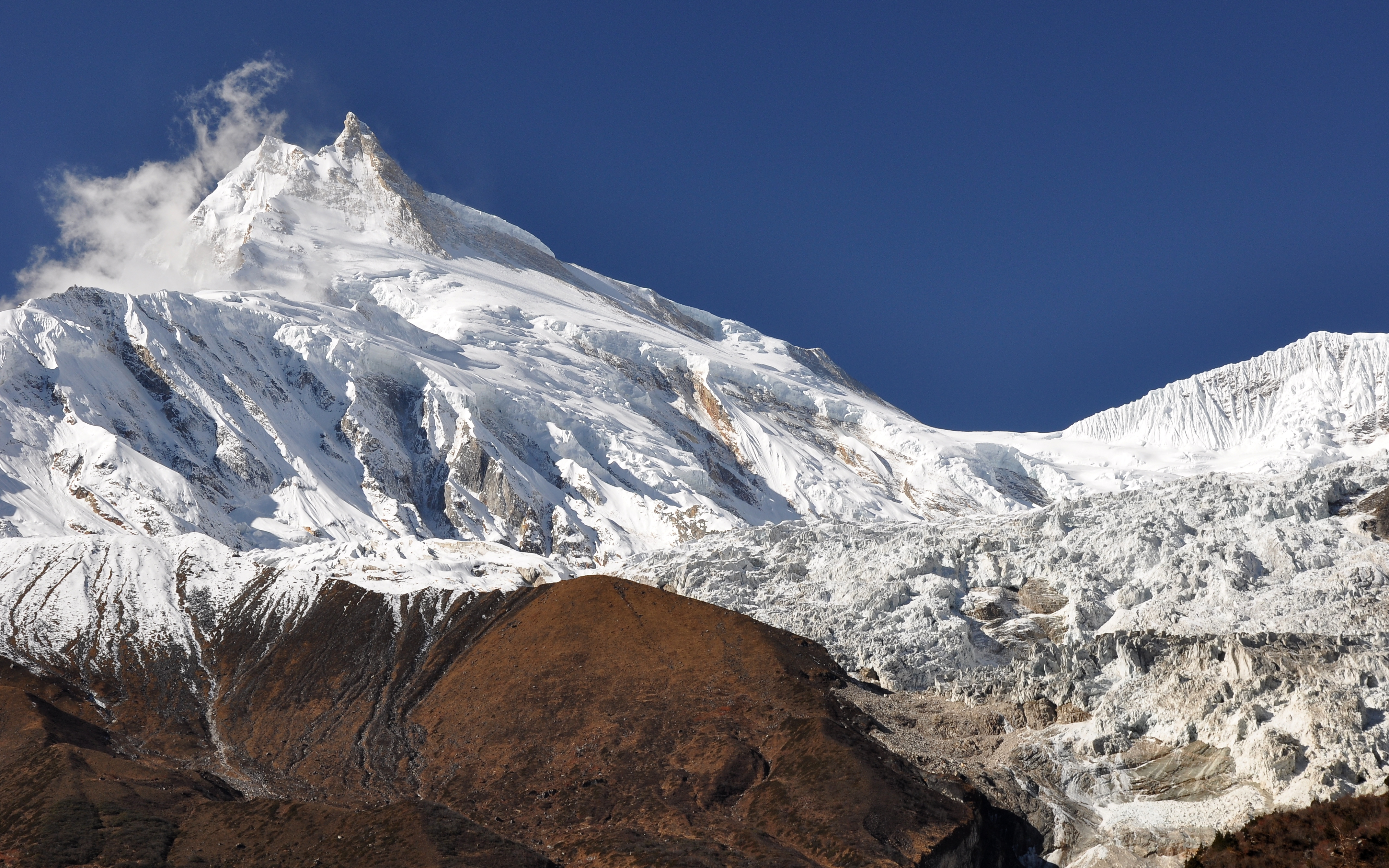
Mt. Manaslu III.

Leaving Manaslu Behind
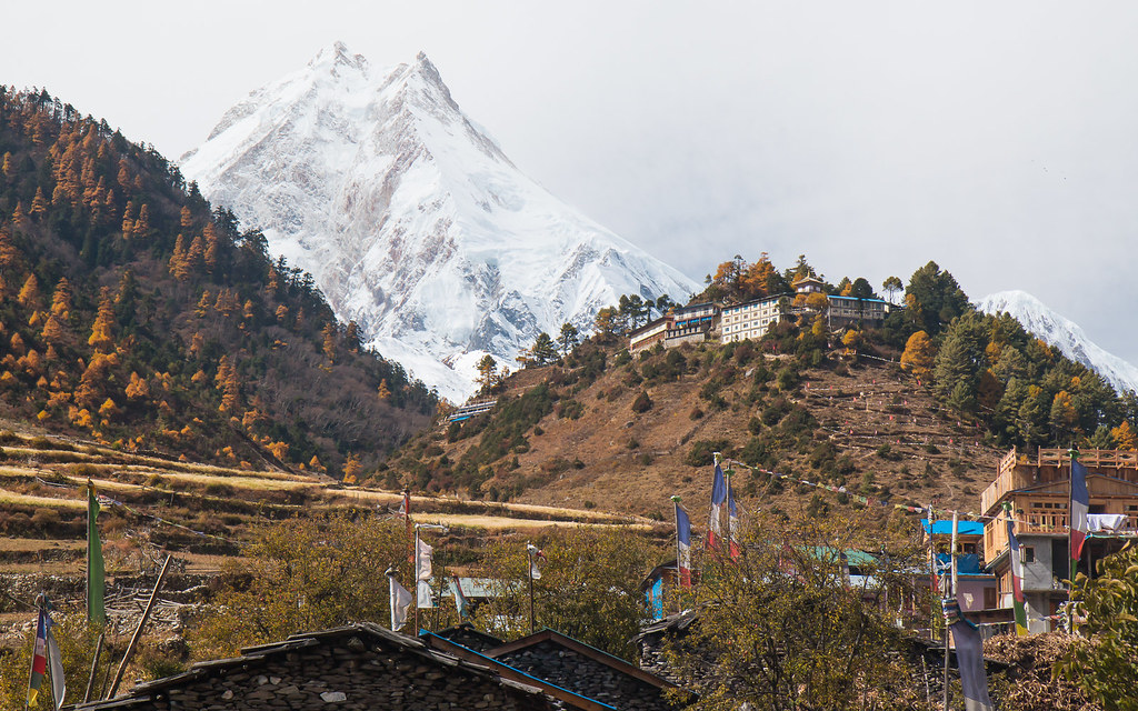
Manaslu view at Lho

Samdo bird-view
Topographic Map of Ngadi Chuli, Samagaun, Nepal
Find elevation by address:

Places near Ngadi Chuli, Samagaun, Nepal:
Manaslu
Dharapani
Himalchuli
Birendra Taal
Birendra Lake View Point
Gorkha
Samagaun
Thoche
Larkya La Pass
Gandaki
Prok
Hotel Chamche
Syange
Namrung
Bahundanda
Lampata
Sirdibas
Nemjung
Kharibot
Deng
Recent Searches:
- Elevation of Corso Fratelli Cairoli, 35, Macerata MC, Italy
- Elevation of Tallevast Rd, Sarasota, FL, USA
- Elevation of 4th St E, Sonoma, CA, USA
- Elevation of Black Hollow Rd, Pennsdale, PA, USA
- Elevation of Oakland Ave, Williamsport, PA, USA
- Elevation of Pedrógão Grande, Portugal
- Elevation of Klee Dr, Martinsburg, WV, USA
- Elevation of Via Roma, Pieranica CR, Italy
- Elevation of Tavkvetili Mountain, Georgia
- Elevation of Hartfords Bluff Cir, Mt Pleasant, SC, USA