Elevation of Nemjung, Nar, Nepal
Location: Nepal > Western Region > Gandaki > Nar >
Longitude: 84.4175
Latitude: 28.7366666
Elevation: 7099m / 23291feet
Barometric Pressure: 40KPa
Elevation Map:
Satellite Map:
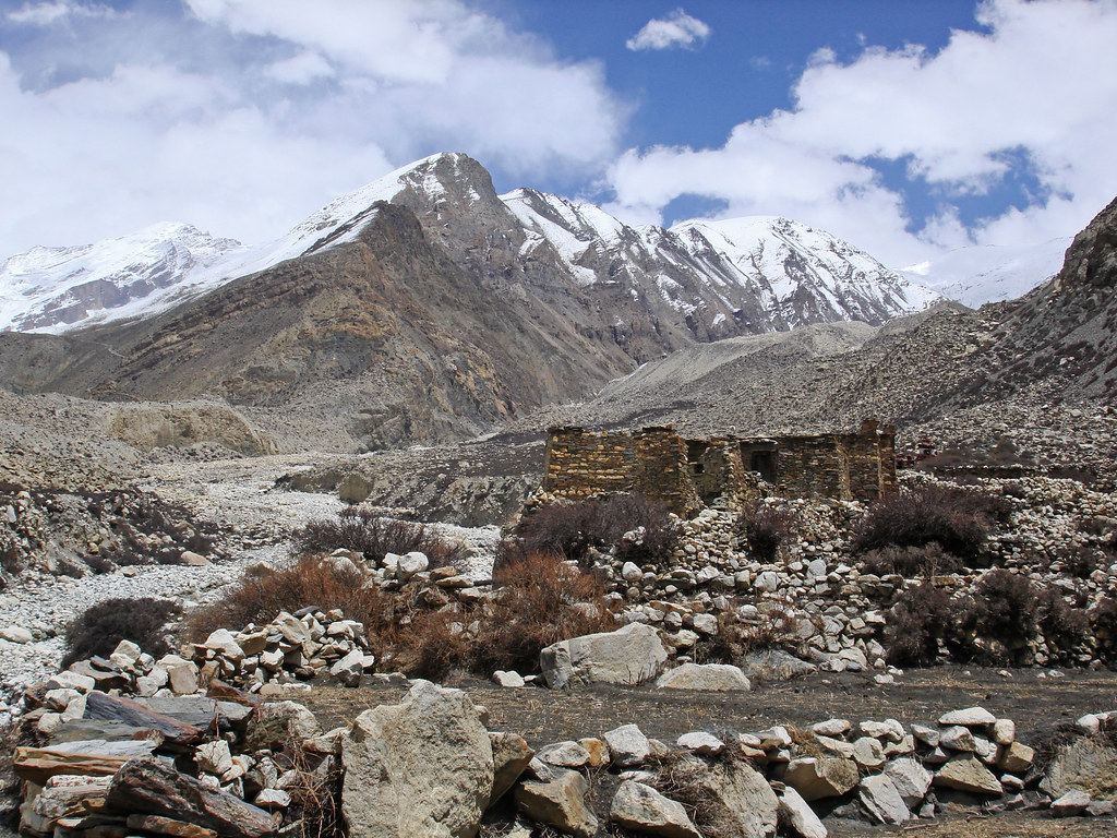
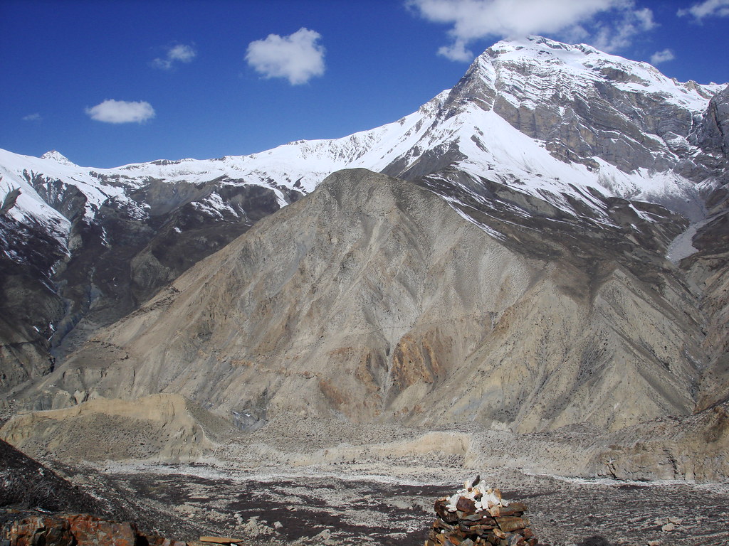
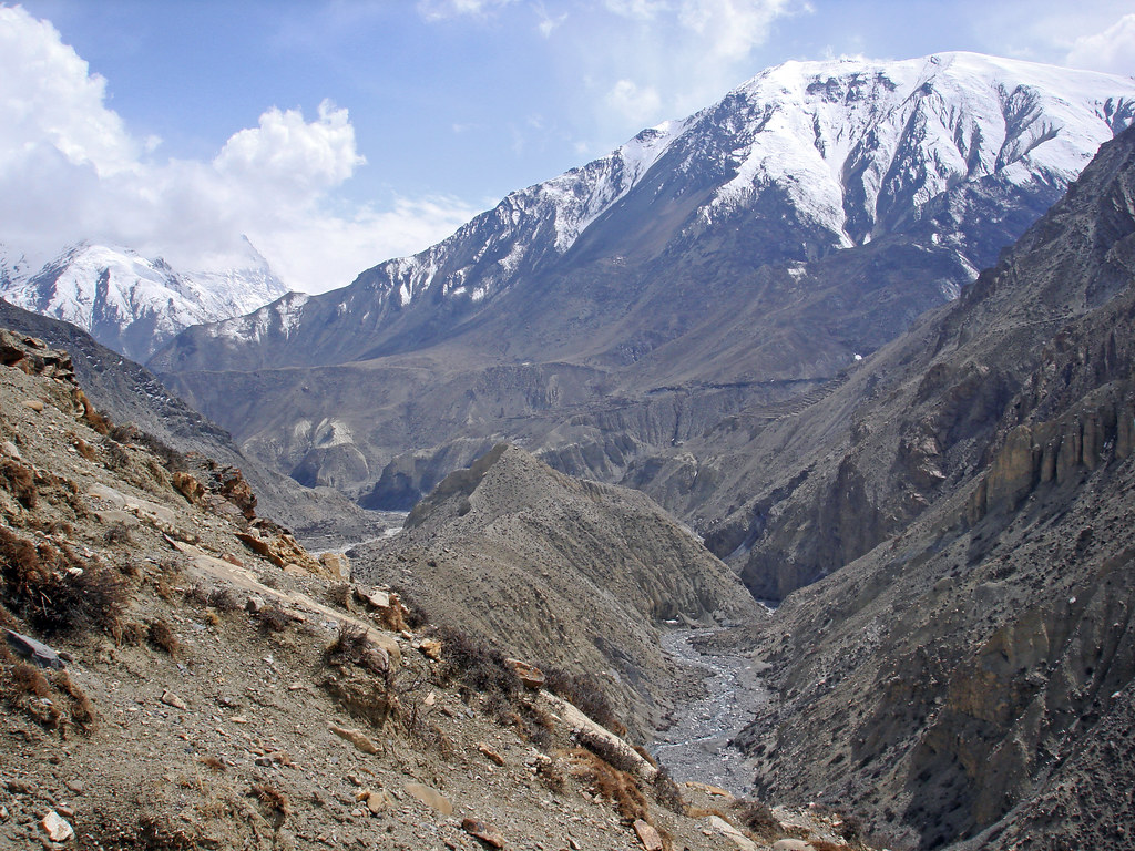
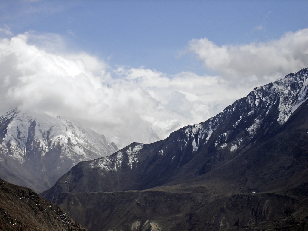
Related Photos:

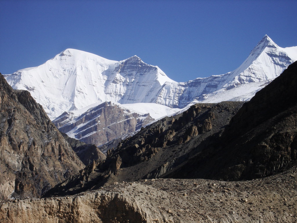
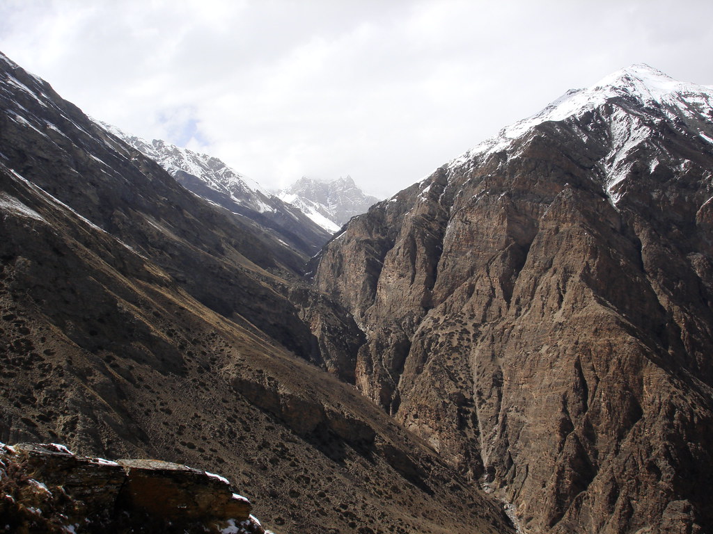
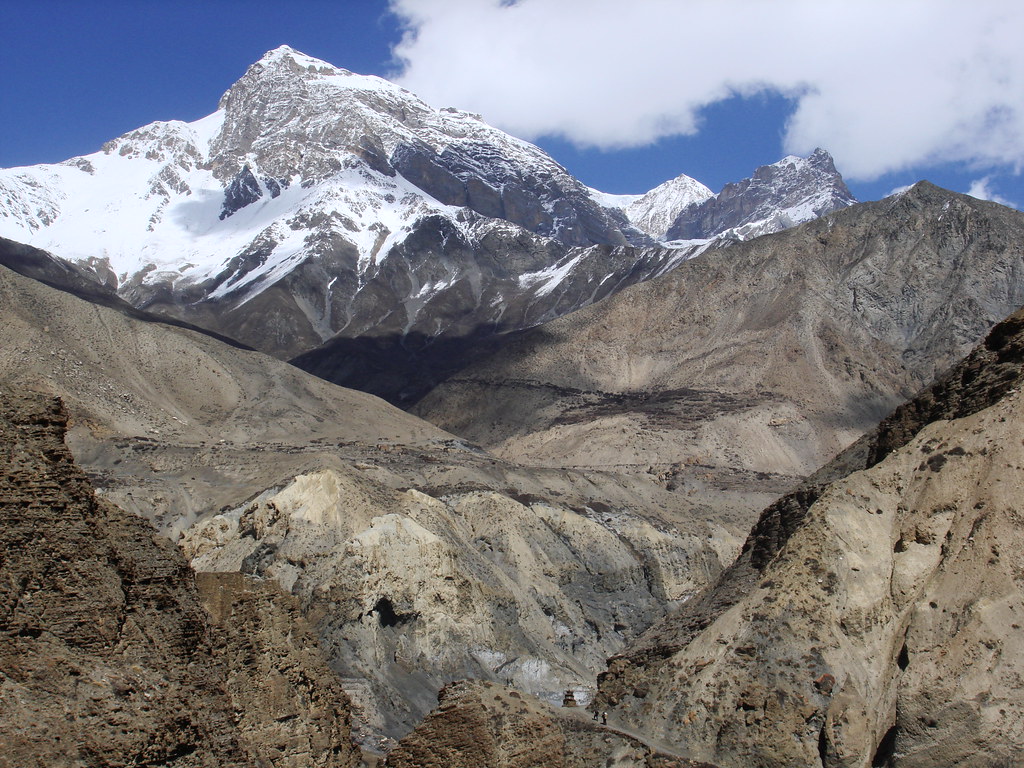
ABC View Down Valley
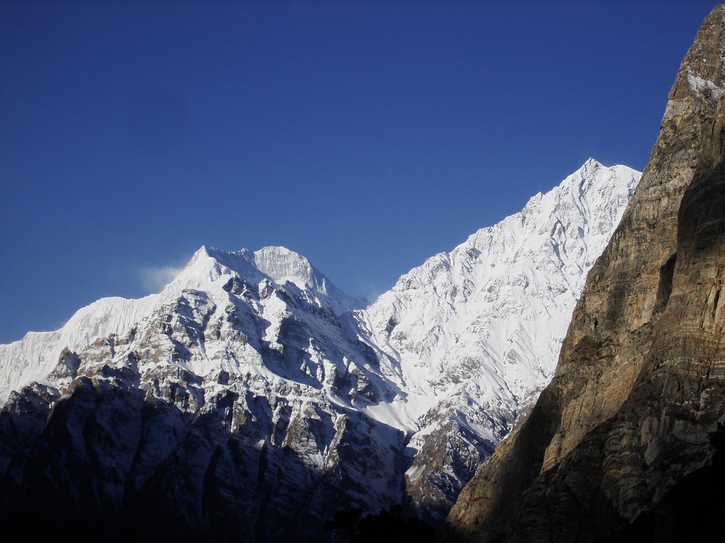
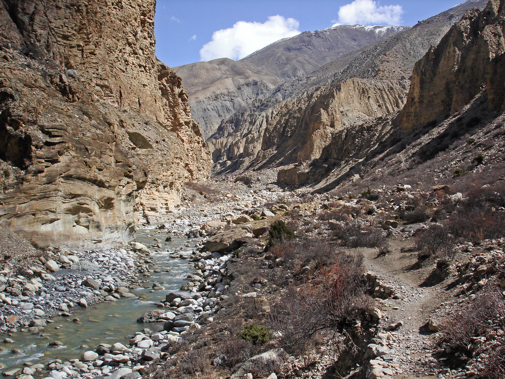
Nepal_2011_126 Phu Khola
Nepal_2011_093 Phu Khola
Nepal_2011_084 Phu Khola

Nepal_2011_127 Phu Khola
Nepal_2011_099 Phu Khola

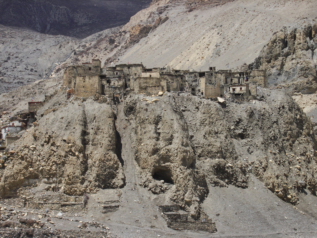
Nepal_2011_153 Phu
Nepal_2011_089 Phu Khola
Nepal_2011_098 Phu Khola
Nepal_2011_094 Phu Khola

Nepal_2011_087 Phu Khola
Nepal_2011_109 Phu
Nepal_2011_104 Phu Khola
Nepal_2011_116 Phu
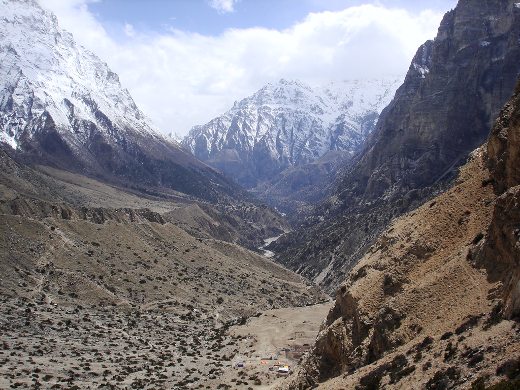
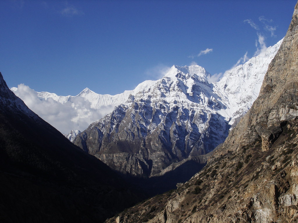
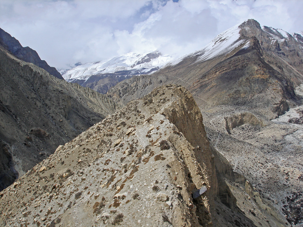
Nepal_2011_130 Valley of the Pangri Glacier

Nepal_2011_168 Phu Khola
Nepal_2011_100 Phu Khola
Nepal_2011_110 Phu
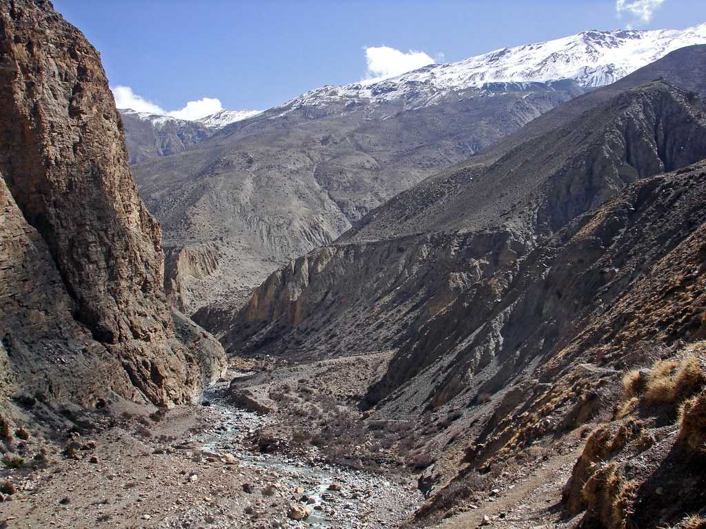
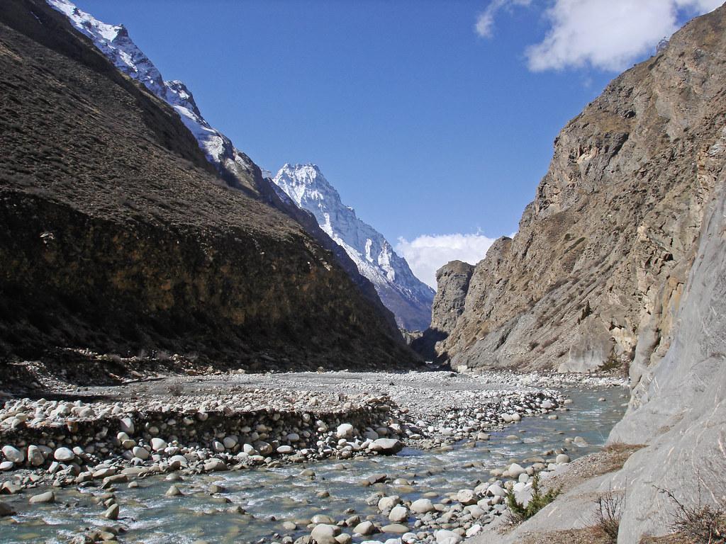
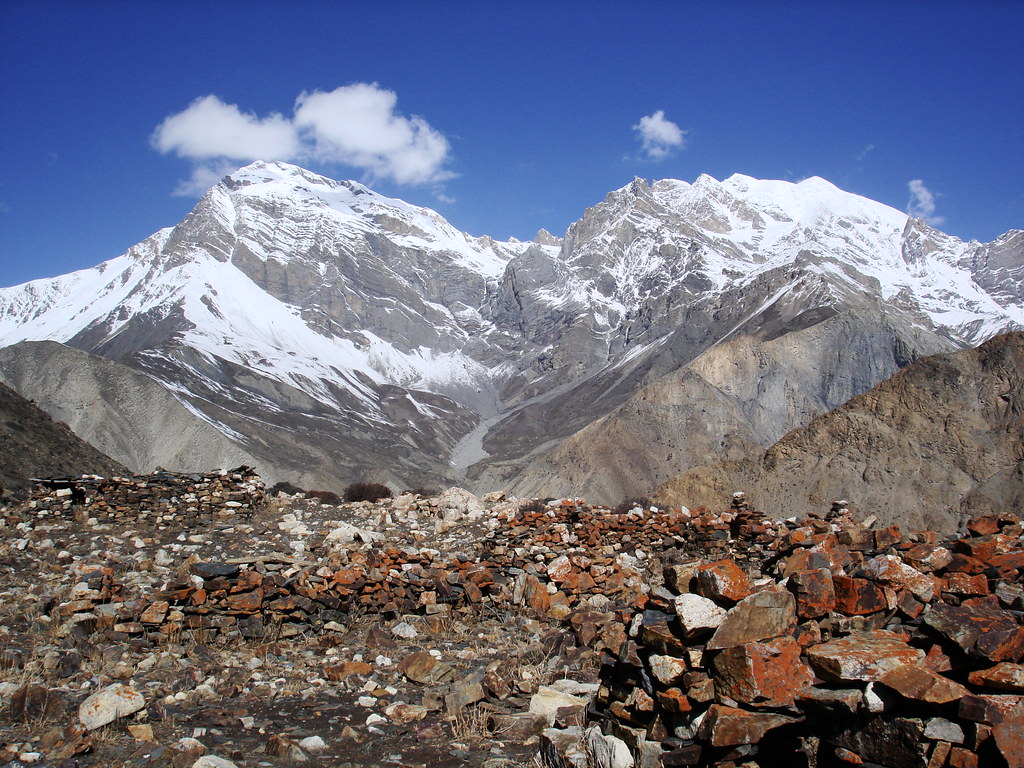
Nepal_2011_129 Junction of Pangri Khola and Phu Khola
Nepal_2011_155 Phu
Nepal_2011_157 Phu
Topographic Map of Nemjung, Nar, Nepal
Find elevation by address:

Places near Nemjung, Nar, Nepal:
Himlung
Thoche
Larkya La Pass
Samagaun
Manaslu
Birendra Taal
Birendra Lake View Point
Dharapani
Ngadi Chuli
Hotel Chamche
Syange
Gandaki
Himalchuli
Gorkha
Bahundanda
Namrung
Lampata
Prok
Sirdibas
Bihi
Recent Searches:
- Elevation of Corso Fratelli Cairoli, 35, Macerata MC, Italy
- Elevation of Tallevast Rd, Sarasota, FL, USA
- Elevation of 4th St E, Sonoma, CA, USA
- Elevation of Black Hollow Rd, Pennsdale, PA, USA
- Elevation of Oakland Ave, Williamsport, PA, USA
- Elevation of Pedrógão Grande, Portugal
- Elevation of Klee Dr, Martinsburg, WV, USA
- Elevation of Via Roma, Pieranica CR, Italy
- Elevation of Tavkvetili Mountain, Georgia
- Elevation of Hartfords Bluff Cir, Mt Pleasant, SC, USA