Elevation of Thoche, Nepal
Location: Nepal > Western Region > Gandaki >
Longitude: 84.4592701
Latitude: 28.6301311
Elevation: 4078m / 13379feet
Barometric Pressure: 61KPa
Elevation Map:
Satellite Map:
Related Photos:

2016-05a Circling the Annapurnas (13)

2016-05a Circling the Annapurnas (15)

2016-05a Circling the Annapurnas (14)
View over Bagarchhap - Nepal

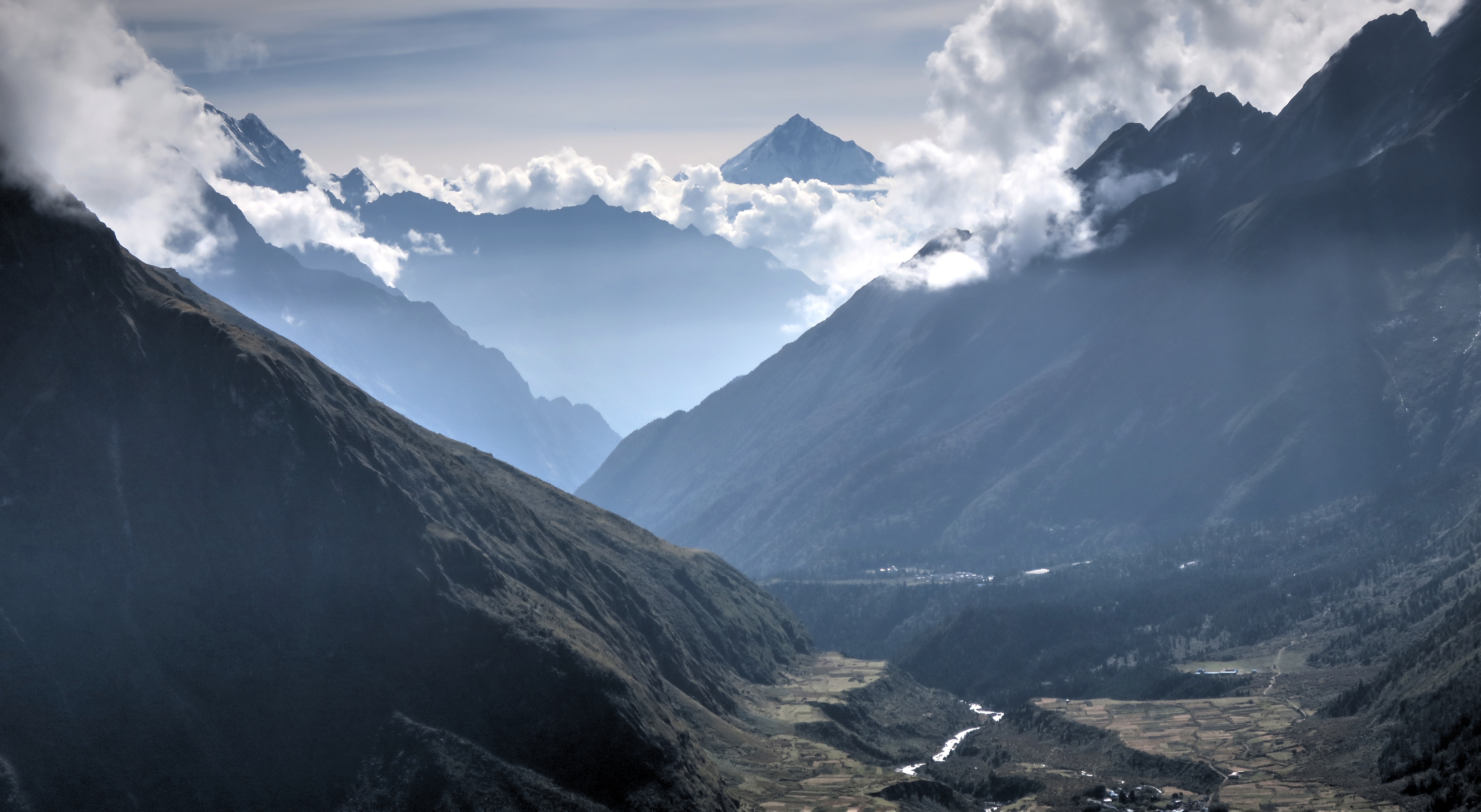
ABC View Down Valley

Wow, what a view

Larke Pass

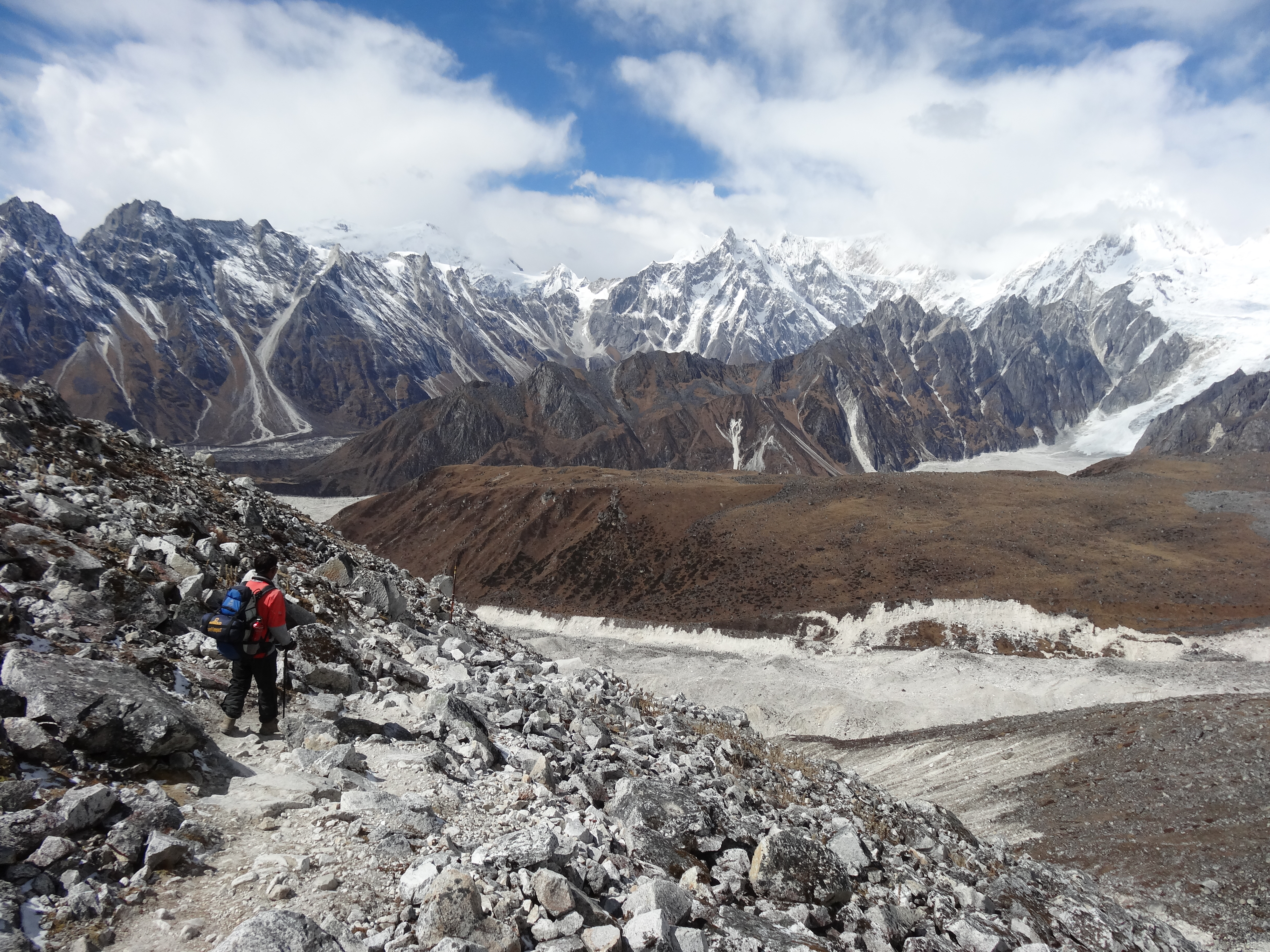
Glaciers on the way to Dharamsala

Way down from Larke Pass I.

Larke pass view
Larke pass view

View from our high point at Dharamsala

Larke pass view

Larke pass view
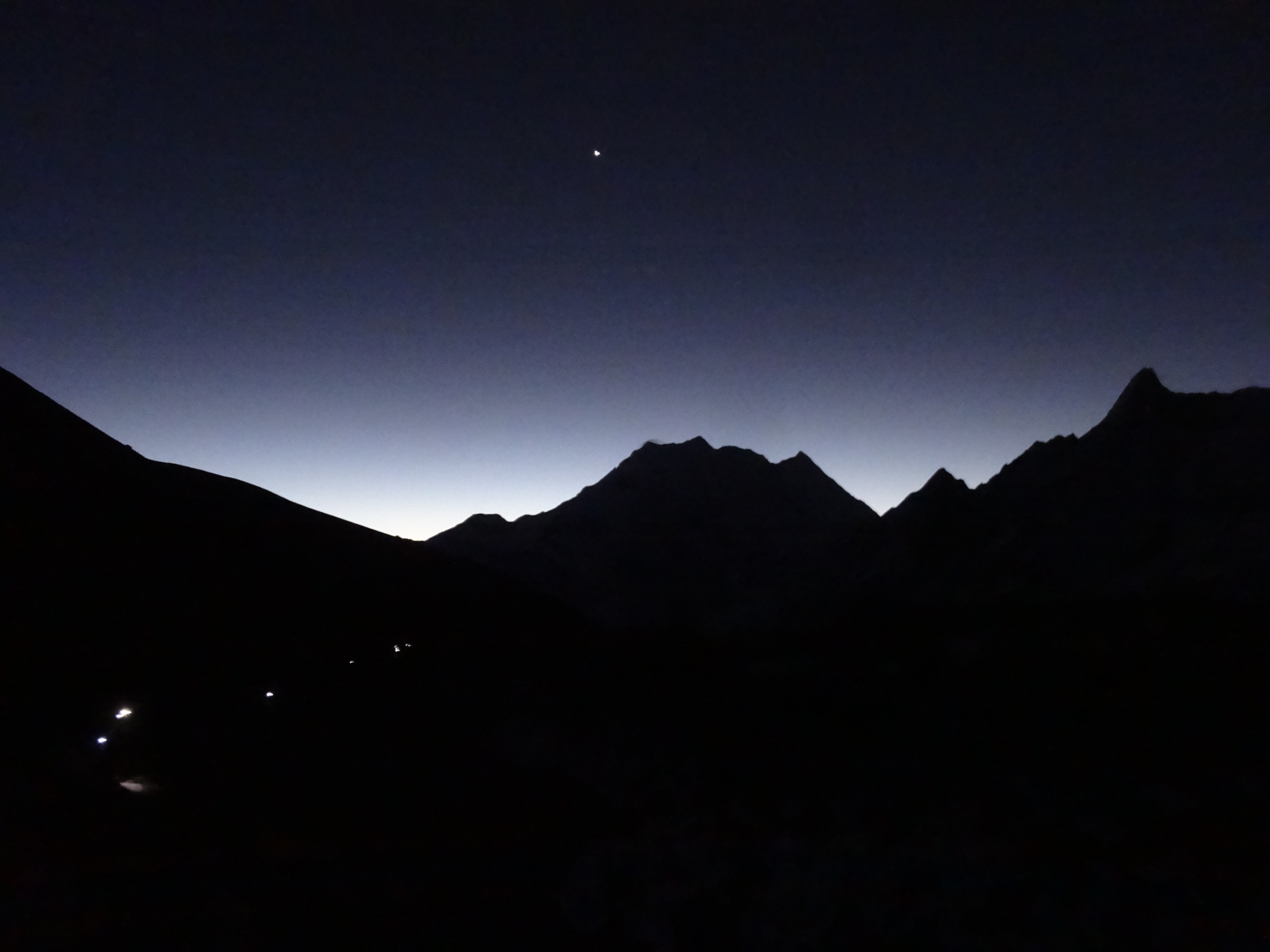
Night walking view to Larke pass

Larke pass view

Night walking view to Larke pass3

Night walking view to Larke pass2

#manaslucanservation #trek #tripadvisornepal #nepalplanettreks #mountain #mountains #sky #beautiful #view #scenery #top #nature #hike #hiking #landscape #natureporn #nature_seekers #clouds #ic_landscapes #instanature #cusp #instanaturelover #landscape_lov

kutang himalaya from above sama

PB280285 - PB280287b

Manaslu Circuit

Manaslu Circuit, Nepal, 2012

Manaslu Circuit

PB251381 - PB251391_blended_fused

Manaslu Circuit

Manaslu Circuit - Dharamsala (Larkya Phedi) 4460m

Manaslu Circuit

Manaslu Circuit

Tibetan Women - Annapurna Circuit, Nepal

Manaslu Circuit

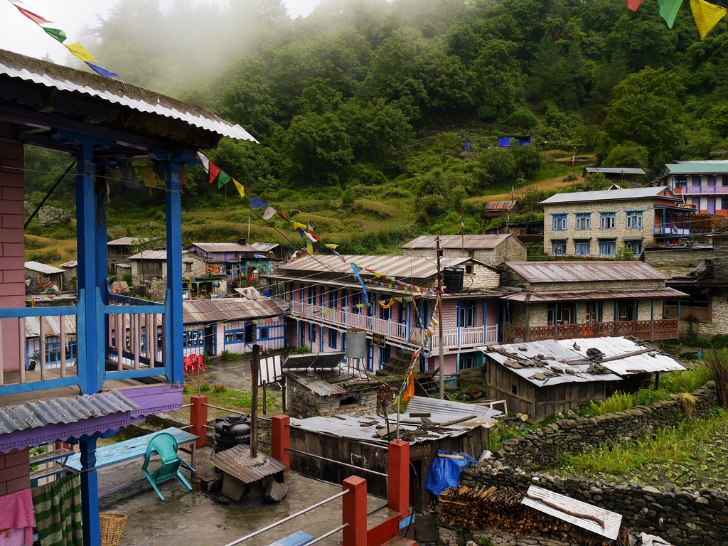
Village In the Mountains, Dharapani, Annapurna Circuit, Nepal

Between Samdo and Dharamsala (Nepal)
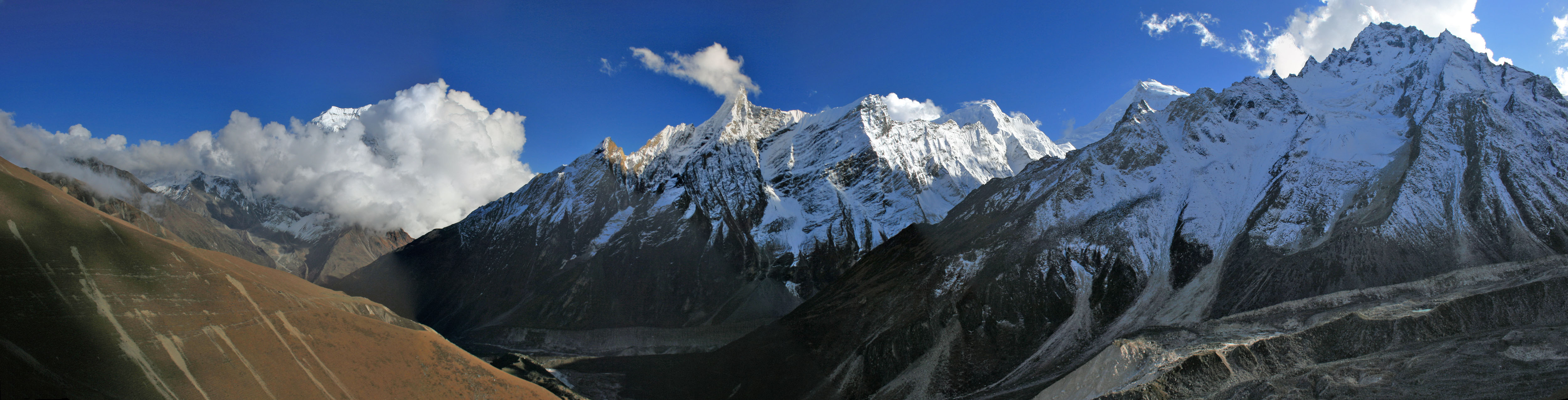
Dharamsala panorama

Népal 2006 - Vue de la montée au Larkya Peak depuis le camp de base
113-Manaslu Trek-Samagaon-Ganesh I (7422 m)
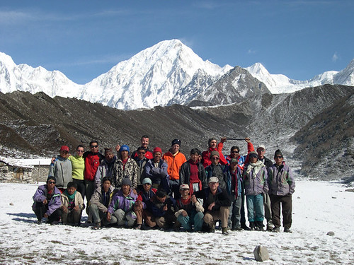
Népal 2006 - Photo de groupe à Bhimtang sur fond de Larkya
Topographic Map of Thoche, Nepal
Find elevation by address:

Places in Thoche, Nepal:
Places near Thoche, Nepal:
Larkya La Pass
Nemjung
Samagaun
Manaslu
Dharapani
Himlung
Ngadi Chuli
Birendra Taal
Birendra Lake View Point
Hotel Chamche
Syange
Gandaki
Himalchuli
Gorkha
Bahundanda
Lampata
Prok
Namrung
Sirdibas
Deng
Recent Searches:
- Elevation of Co Rd 87, Jamestown, CO, USA
- Elevation of Tenjo, Cundinamarca, Colombia
- Elevation of Côte-des-Neiges, Montreal, QC H4A 3J6, Canada
- Elevation of Bobcat Dr, Helena, MT, USA
- Elevation of Zu den Ihlowbergen, Althüttendorf, Germany
- Elevation of Badaber, Peshawar, Khyber Pakhtunkhwa, Pakistan
- Elevation of SE Heron Loop, Lincoln City, OR, USA
- Elevation of Slanický ostrov, 01 Námestovo, Slovakia
- Elevation of Spaceport America, Co Rd A, Truth or Consequences, NM, USA
- Elevation of Warwick, RI, USA