Elevation of Lapa, Nepal
Location: Nepal > Western Region > Gandaki >
Longitude: 85.033333
Latitude: 28.15
Elevation: 1824m / 5984feet
Barometric Pressure: 81KPa
Elevation Map:
Satellite Map:
Related Photos:
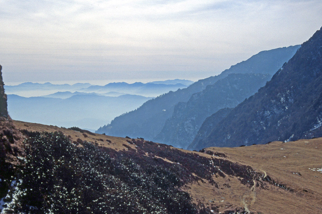
Nepal_1994_038 View to south from Tiru Danda (CD-40)
Nepal_1994_036 Path along the Tiru Danda (CD-34)
Morning views
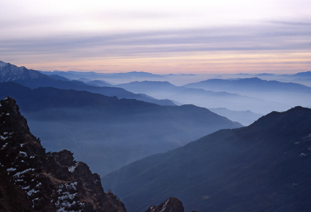
Nepal_1994_046 Misty valleys and morning light over the foothills (CE-10)
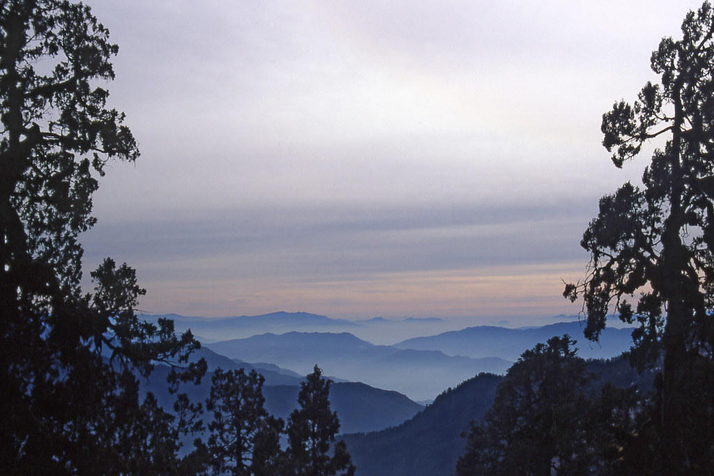
Nepal_1994_047 Misty valleys and morning light over the foothills (CE-11)
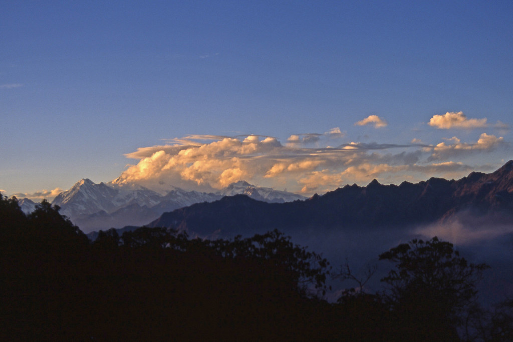
Nepal_1994_045 Evening light on clouds over Manaslu and the Mansiri Himal (CE-8)
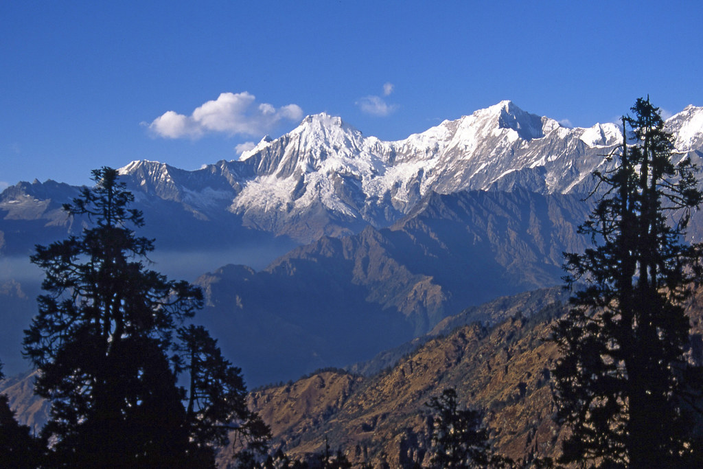
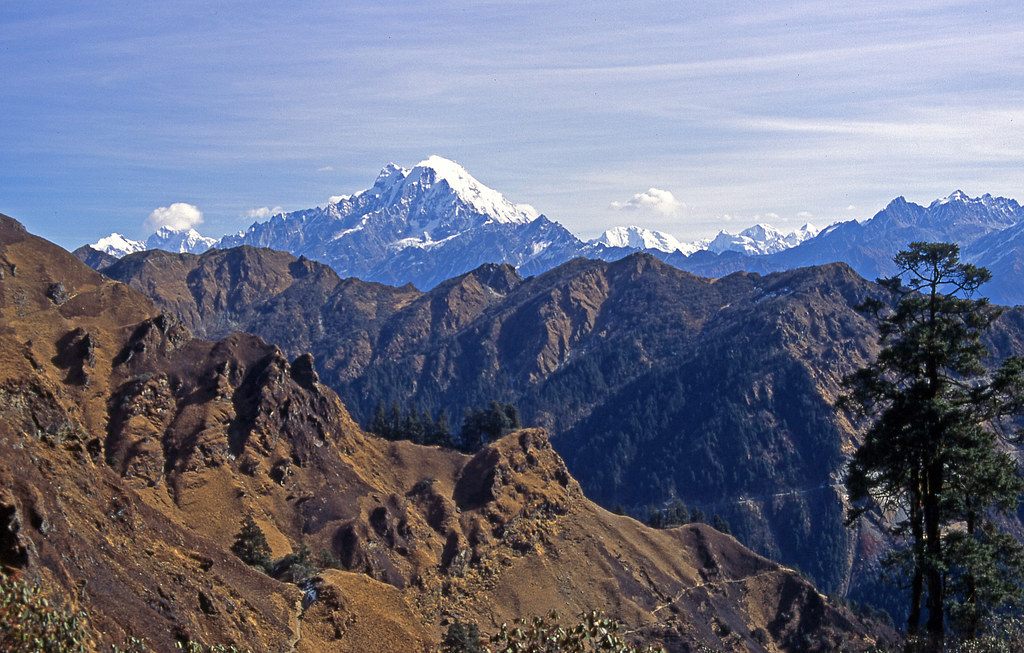
Nepal_1994_043 Ganesh Himal, from Tiru Danda (CE-5)

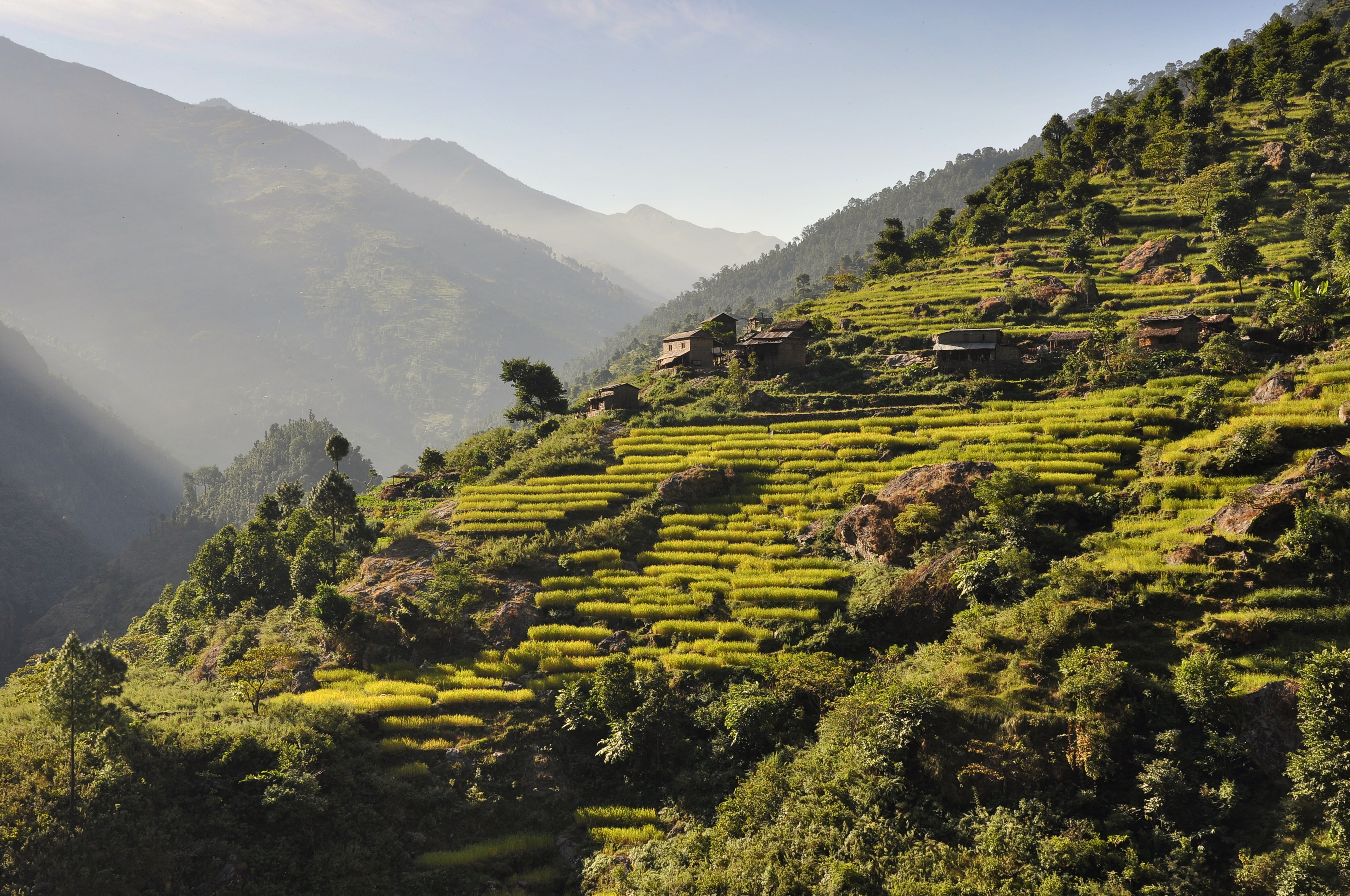
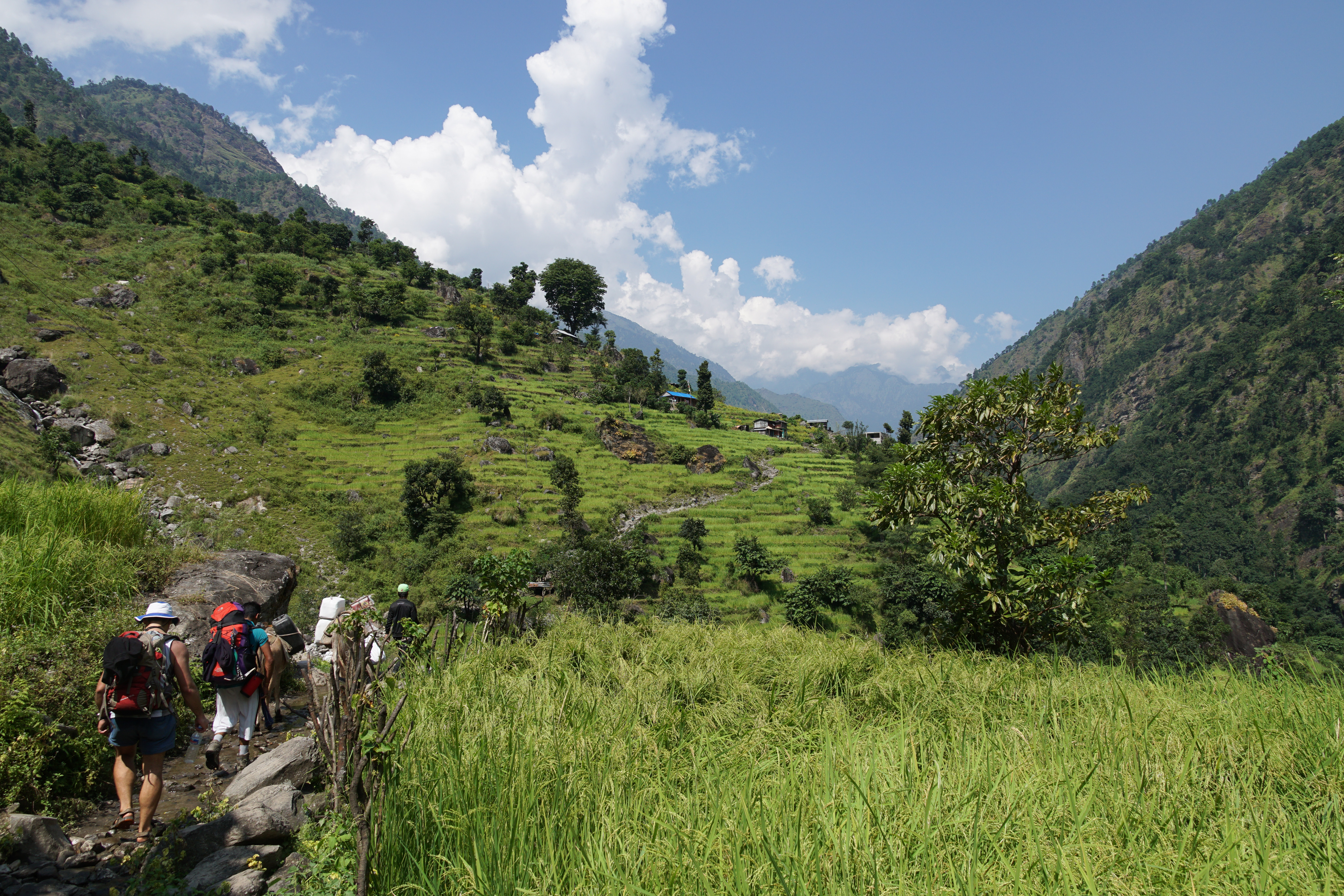
Terraced Field
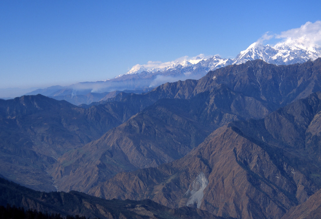
Nepal_1994_039 Mansiri Himal, to the west, from Tiru Danda (CD-45)

Manaslu - Annapurna, 2011, Day 07
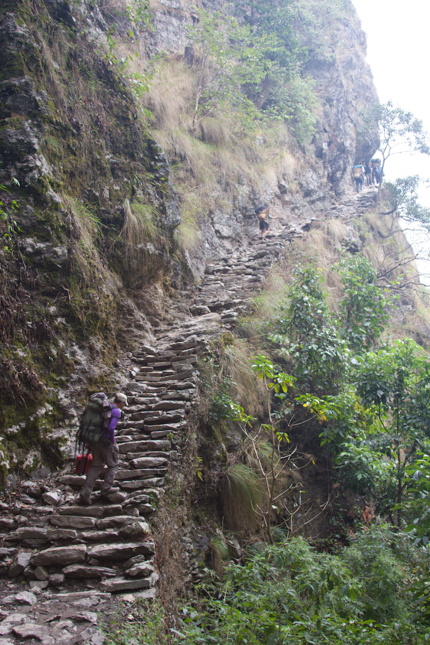
Steps cut into cliff face - marked on map as "Rocky Trail"
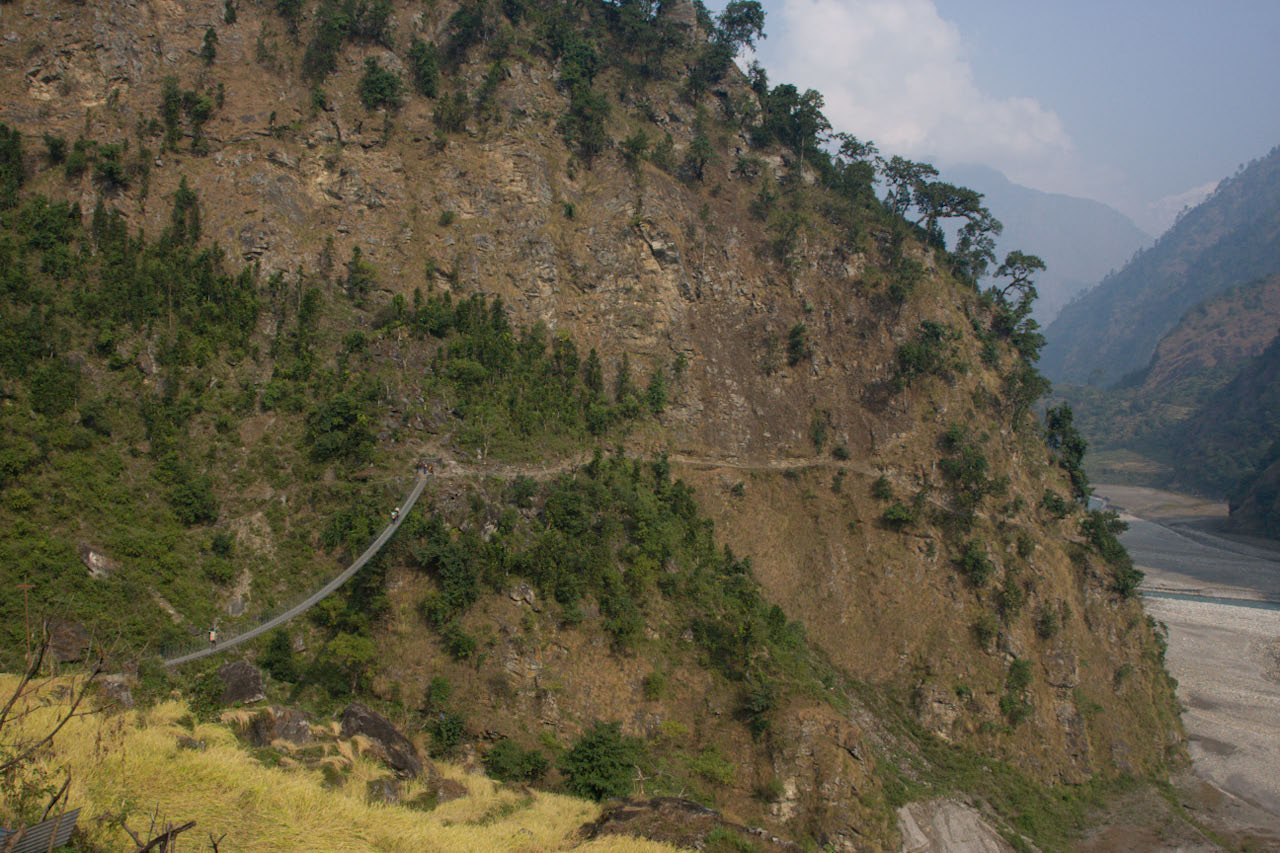
Suspension bridge

Manaslu - Annapurna, 2011, Day 03

Manaslu - Annapurna, 2011, Day 03

Manaslu - Annapurna, 2011, Day 07
Manaslu Circuit - Lapubesi
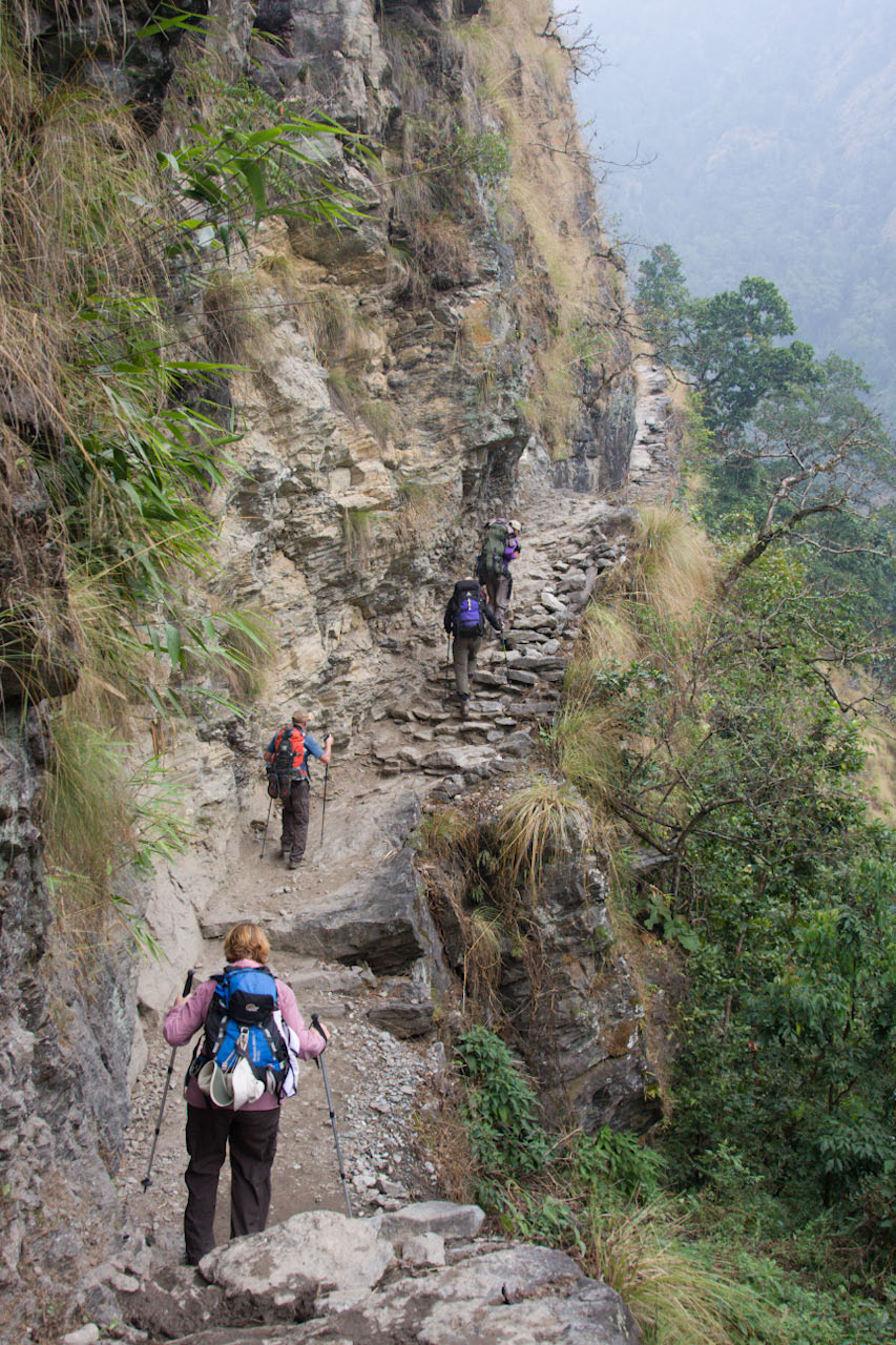
Steps cut into cliff face - marked on map as "Rocky Trail"
PB150525 Panorama
Terraced Village
Camp 4 - Lapubesi (Lap Besi)
Topographic Map of Lapa, Nepal
Find elevation by address:

Places near Lapa, Nepal:
Sertung
Manbu
Kerauja
Soti Khola
Tatopani
Gatlang
Ganesh Himal
Goljung
Langtang View Guest House
Uiya
Laprak
Yangra
Philim
Rasuwa
Barpak
Lokpa
Baluwa
Chumling
Sirdibas
Chumchet
Recent Searches:
- Elevation of Warwick, RI, USA
- Elevation of Fern Rd, Whitmore, CA, USA
- Elevation of 62 Abbey St, Marshfield, MA, USA
- Elevation of Fernwood, Bradenton, FL, USA
- Elevation of Felindre, Swansea SA5 7LU, UK
- Elevation of Leyte Industrial Development Estate, Isabel, Leyte, Philippines
- Elevation of W Granada St, Tampa, FL, USA
- Elevation of Pykes Down, Ivybridge PL21 0BY, UK
- Elevation of Jalan Senandin, Lutong, Miri, Sarawak, Malaysia
- Elevation of Bilohirs'k