Elevation of Sardi Khola, Nepal
Location: Nepal > Western Region > Gandaki >
Longitude: 84.0061661
Latitude: 28.3665691
Elevation: 2118m / 6949feet
Barometric Pressure: 78KPa
Elevation Map:
Satellite Map:
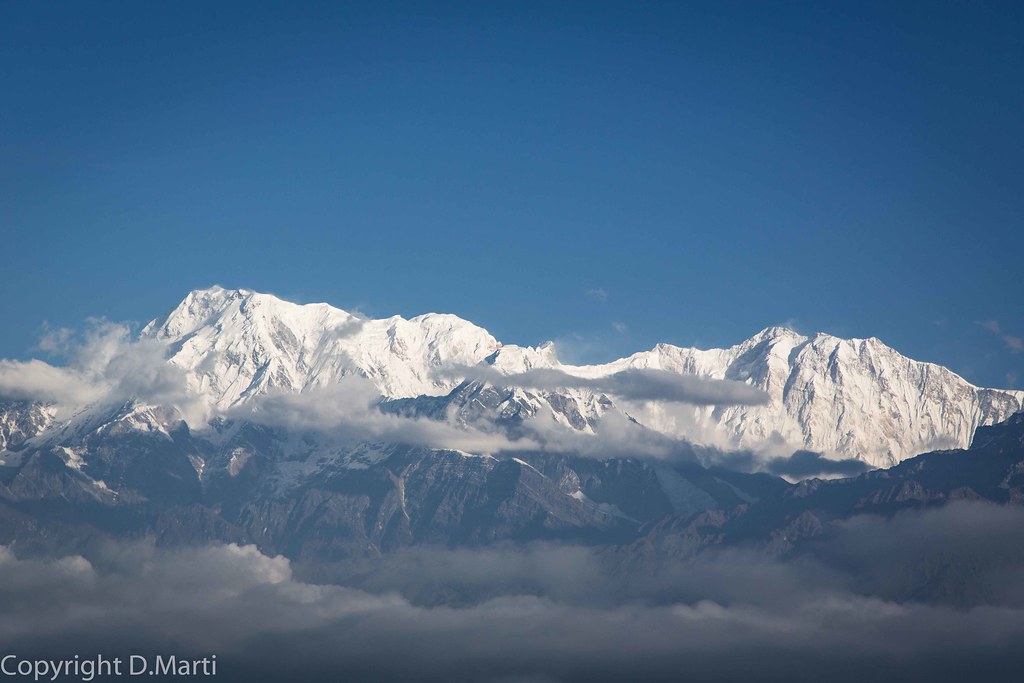
Related Photos:
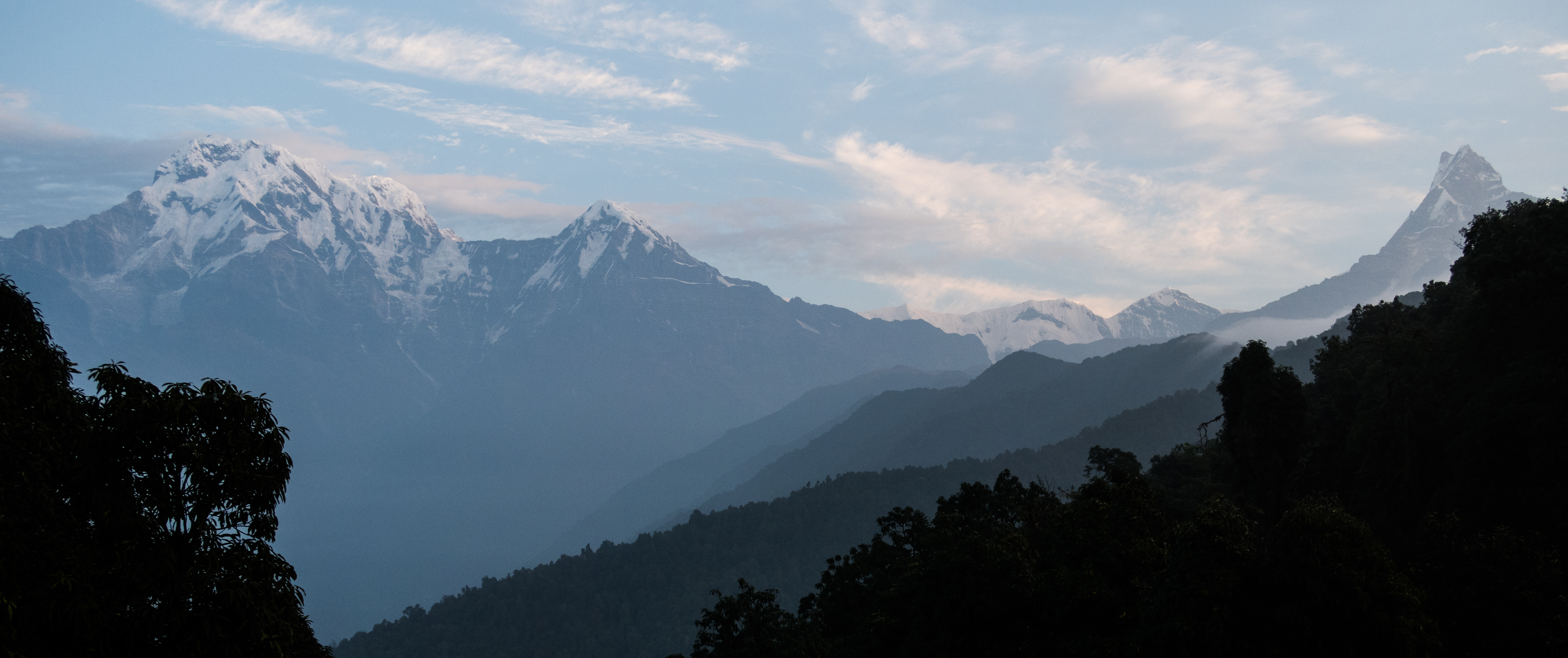
First Glimpse
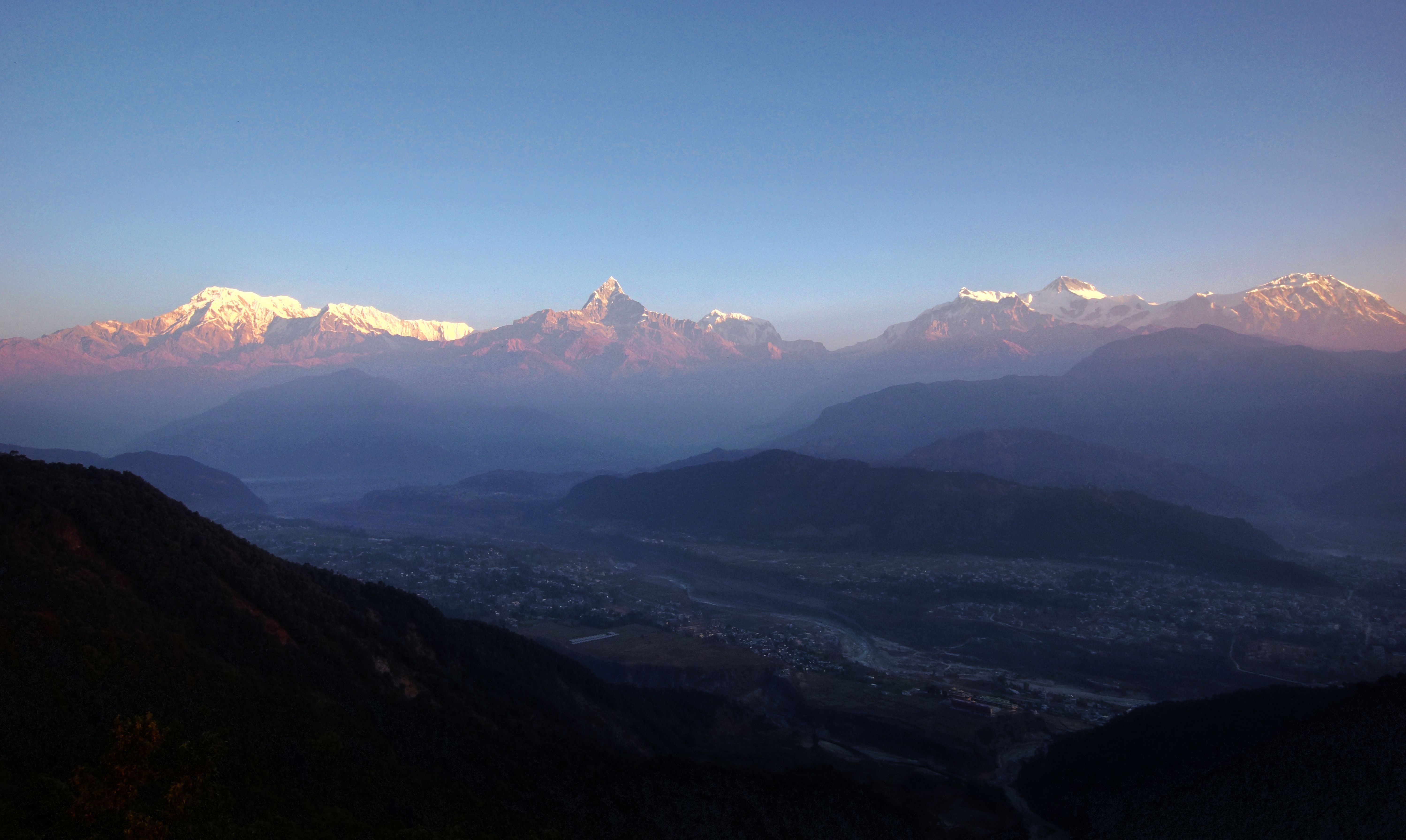
annapurna sunrise

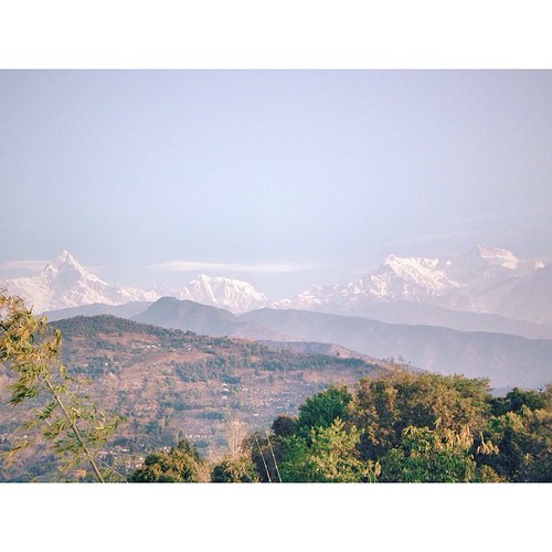
Annapurna peaks Sarangkot view point, Pockara , Nepal
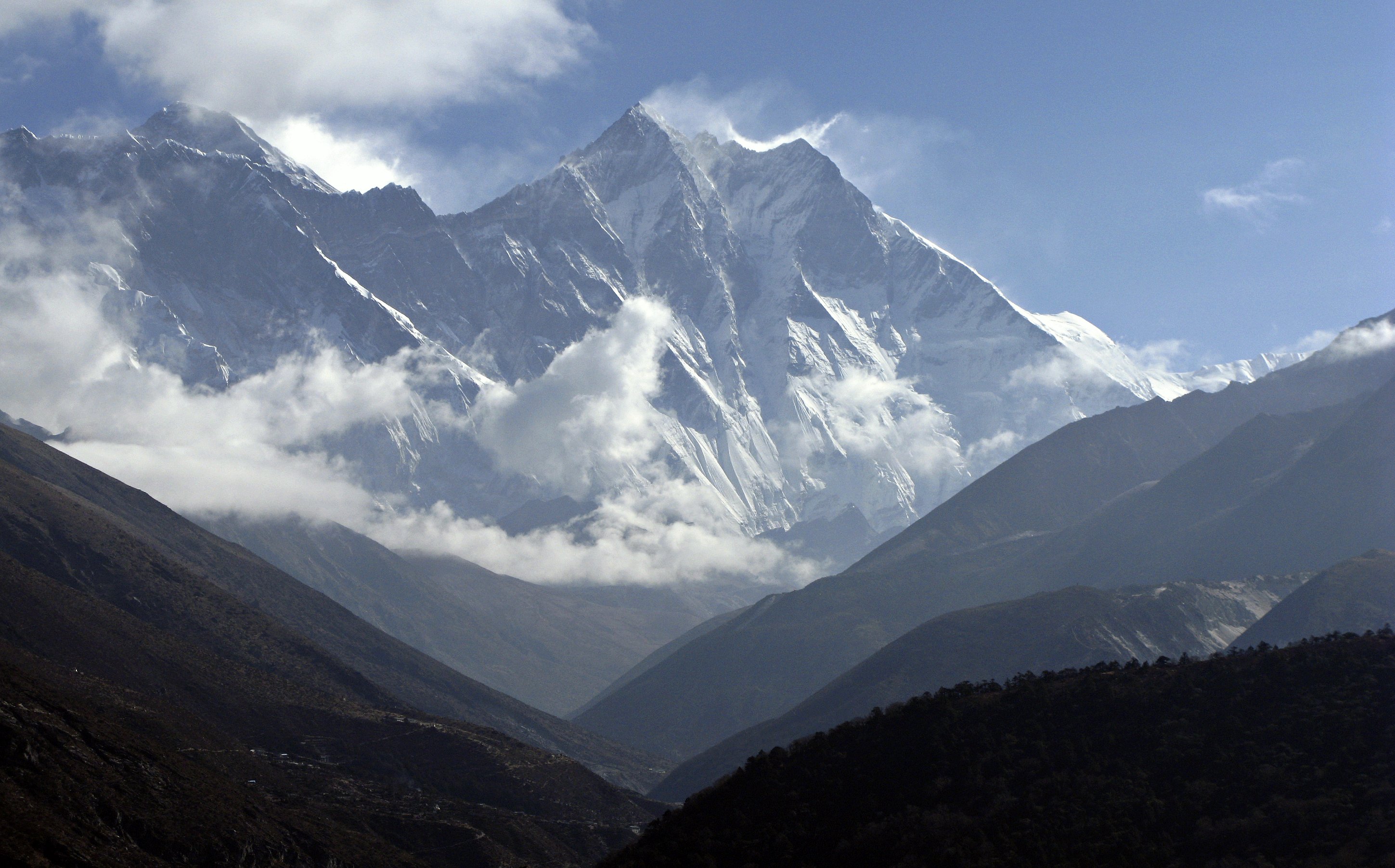
Everest & Lhotse
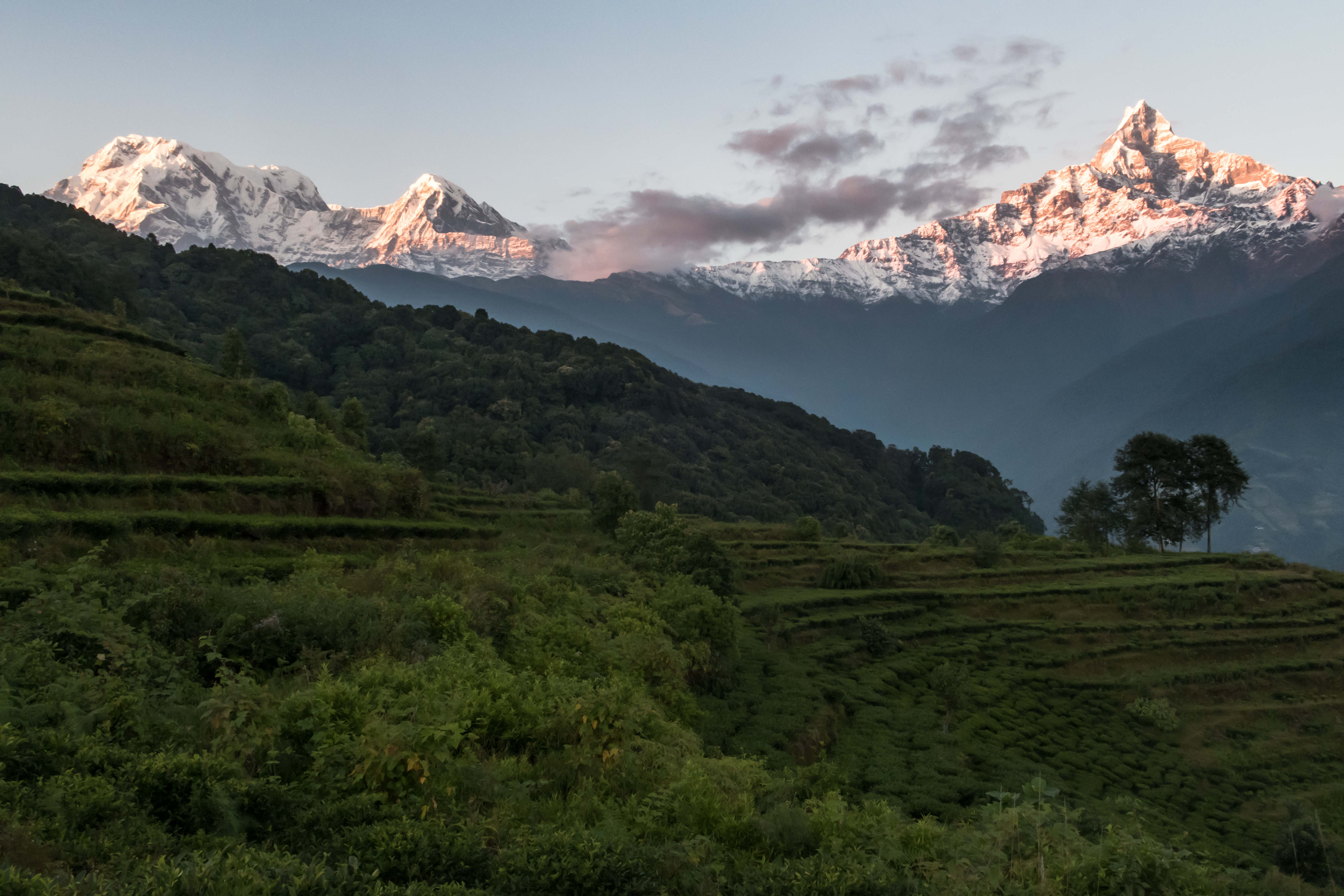
Tea Fields
Fresh Snow

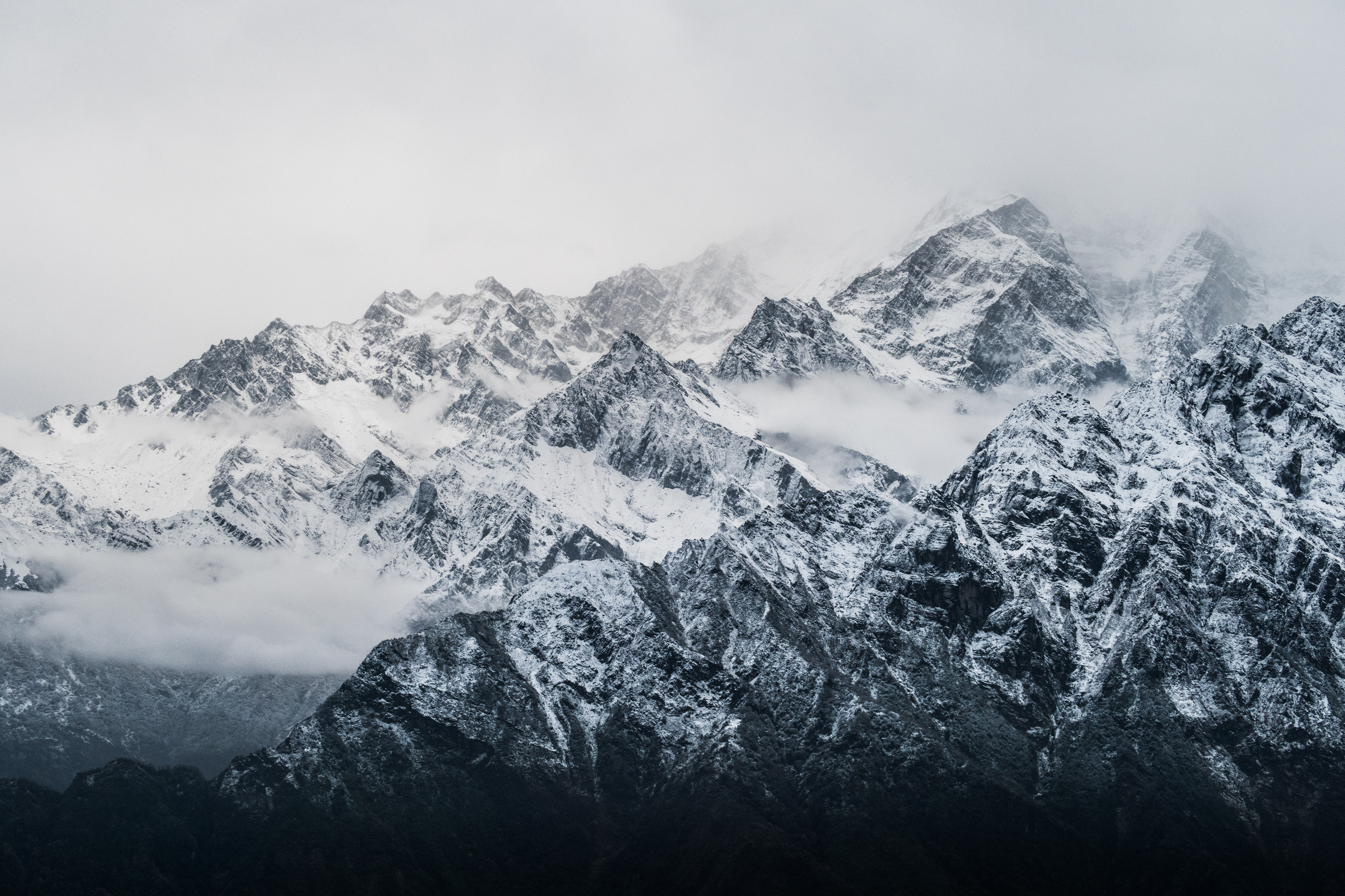
Amongst the Clouds

Kuibang and storm clouds
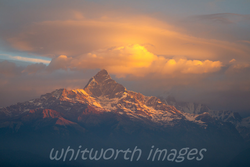
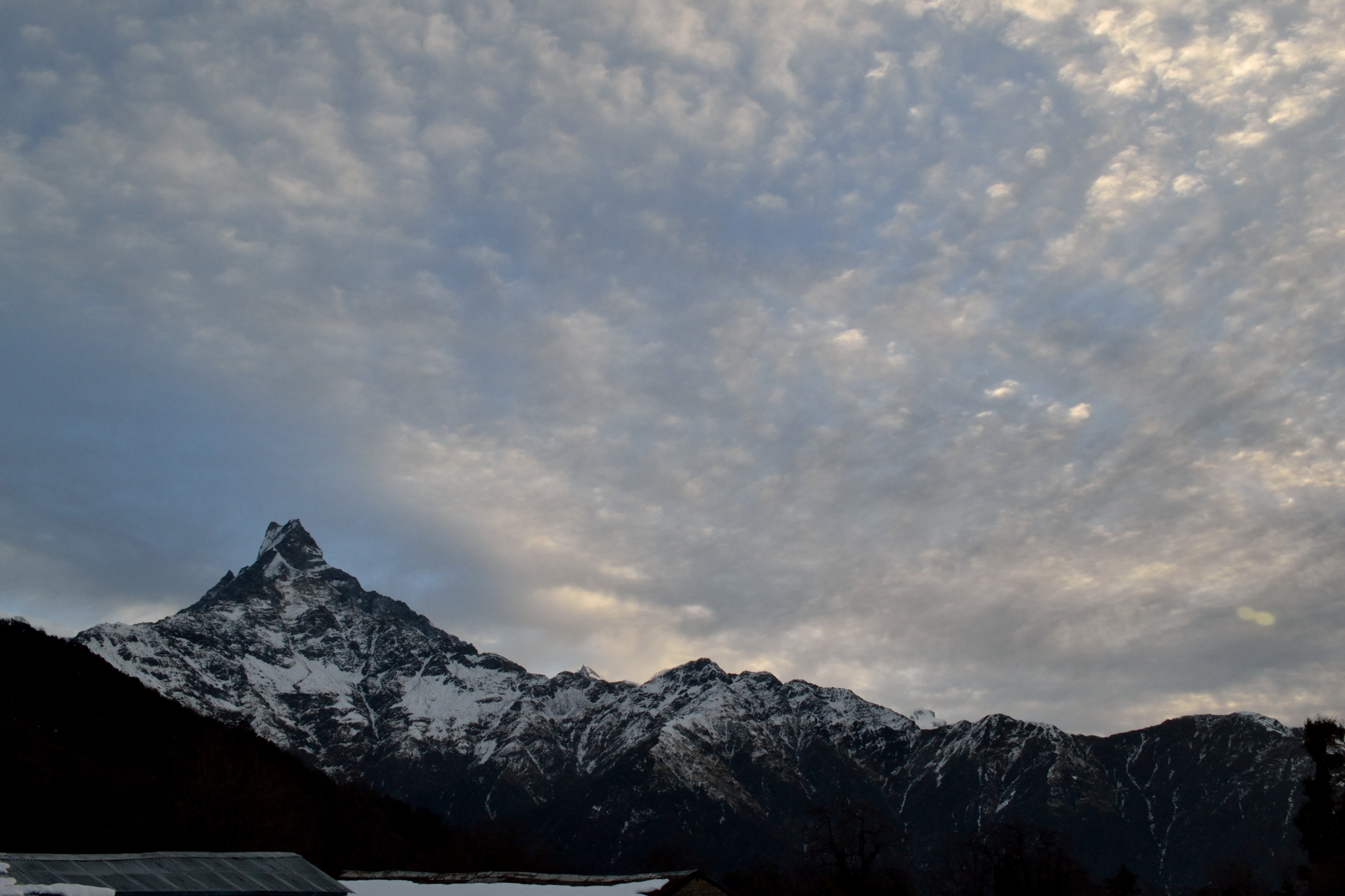
Machhapuchchhare dawn
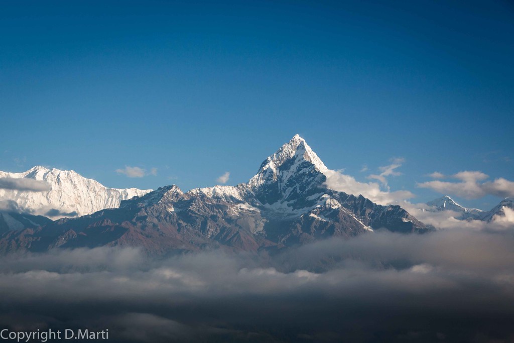
Machapuchare (6993m)

Flying along the Annapurna range in Nepal
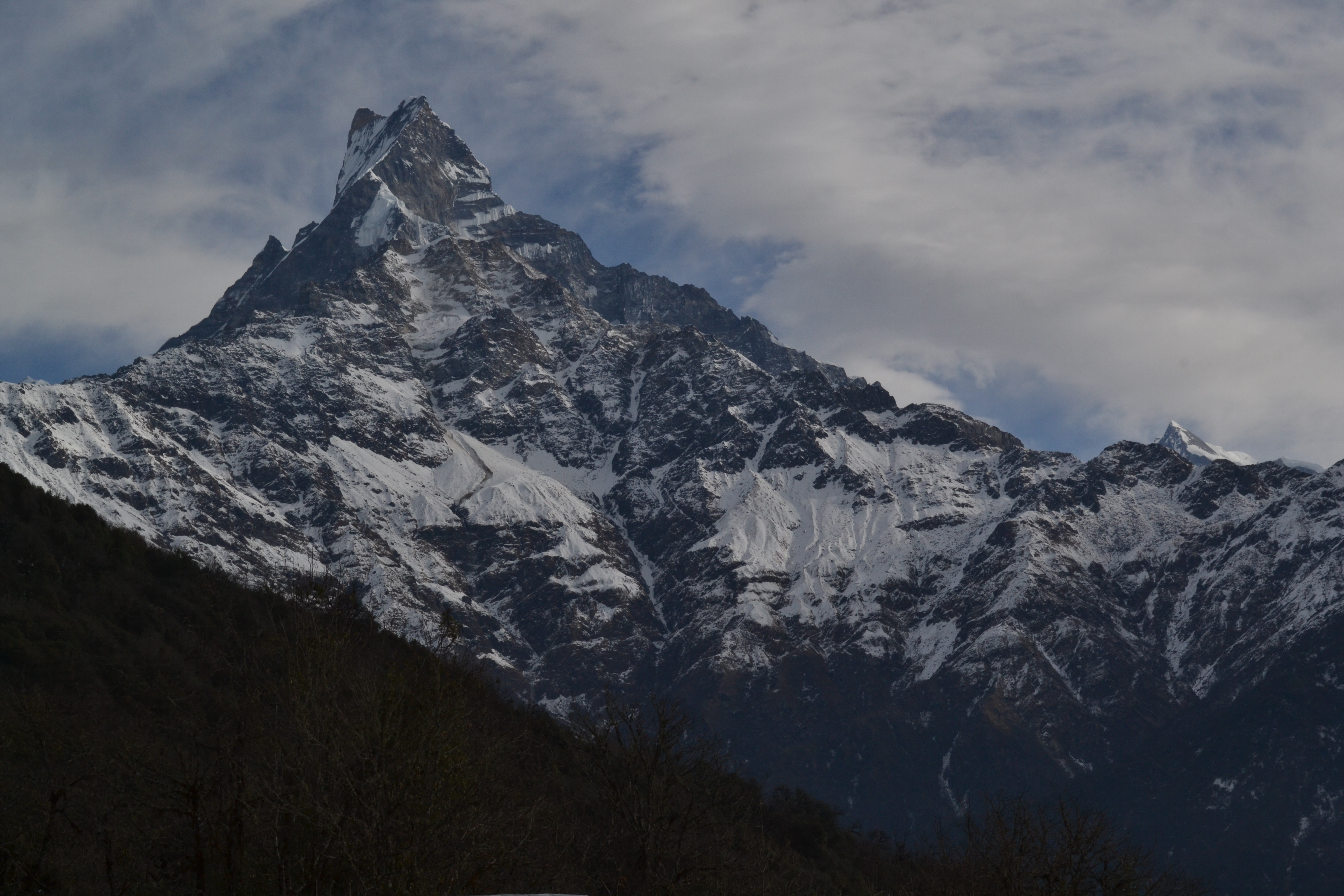
Fishtail and Mardi Himal
Sunrise alongside Fishtail
Fine view out of the front door this morning. #himalayas #pokhara #nepal #vscocam

Al fin el sol. Vistas desde Kopre Danda
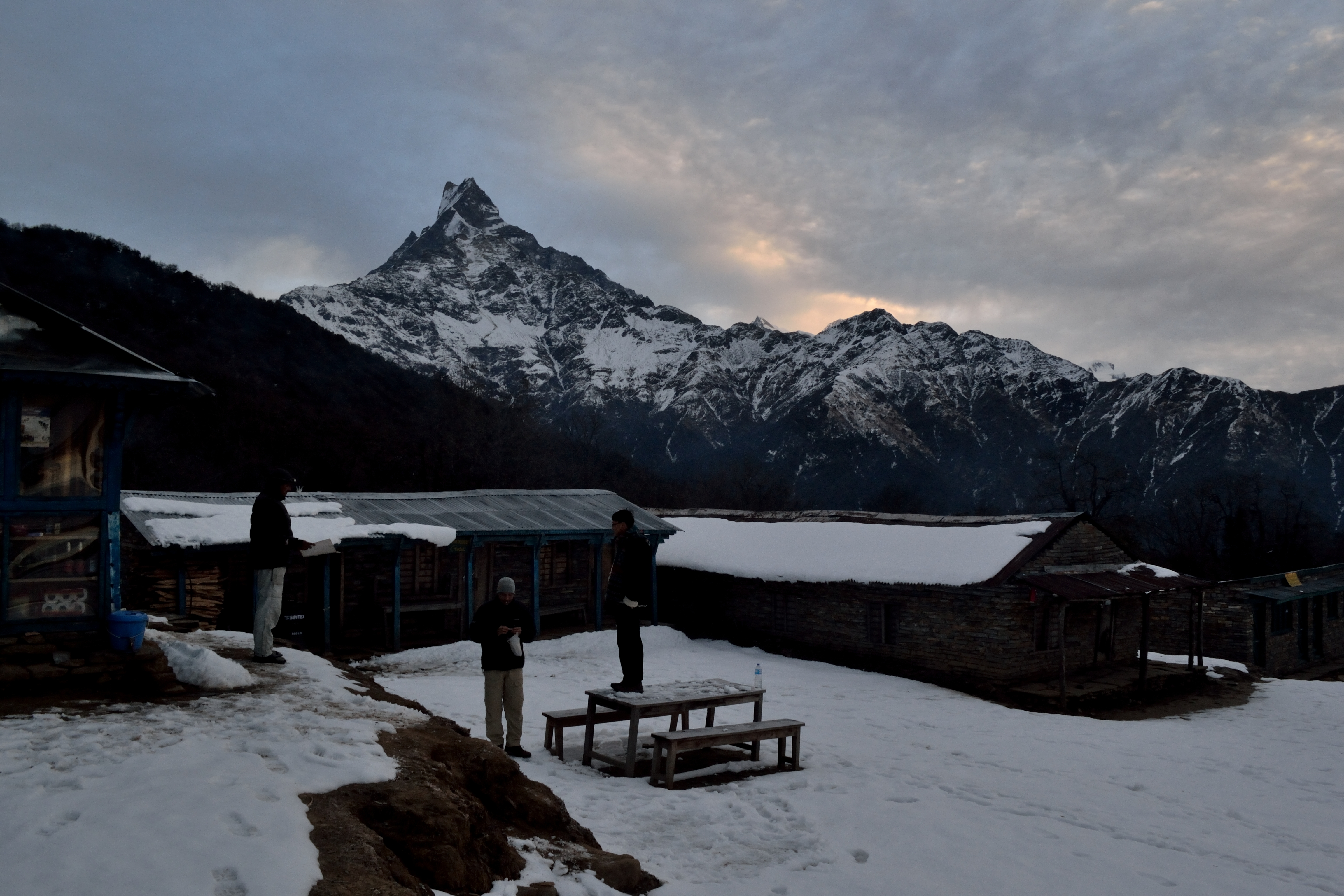
Sunrise at Low Camp
Annapurna South
The mighty Annapurna

2014-06-21 Sichuan - Tibet - Nepal - India - 507
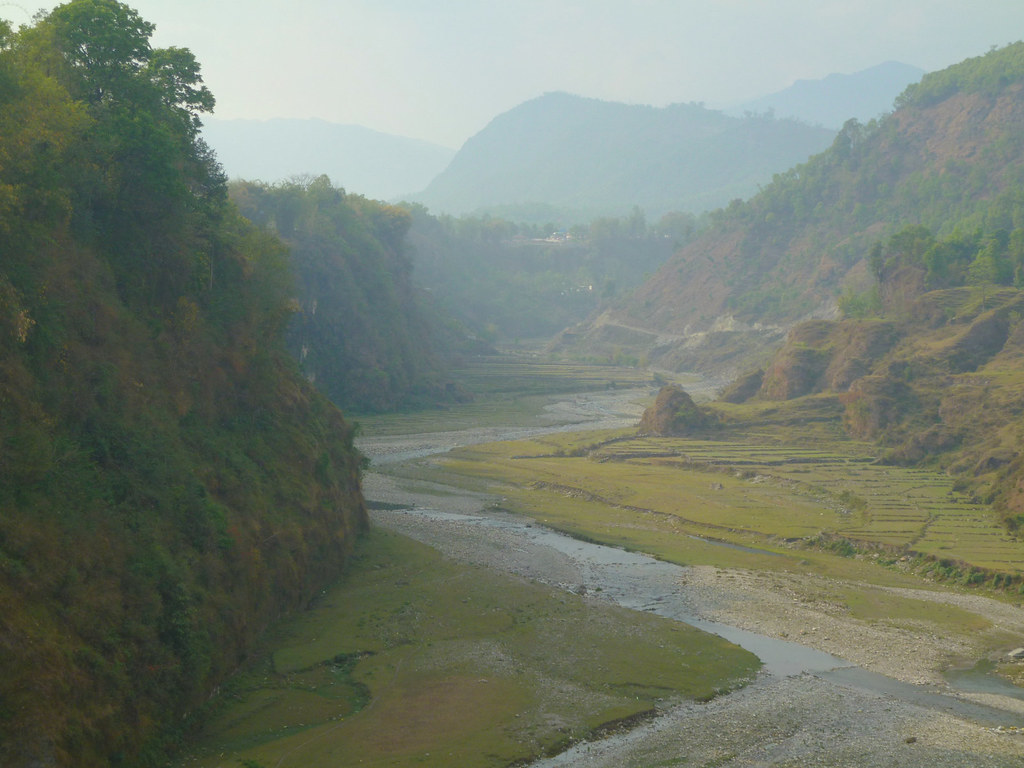
View from the bridge

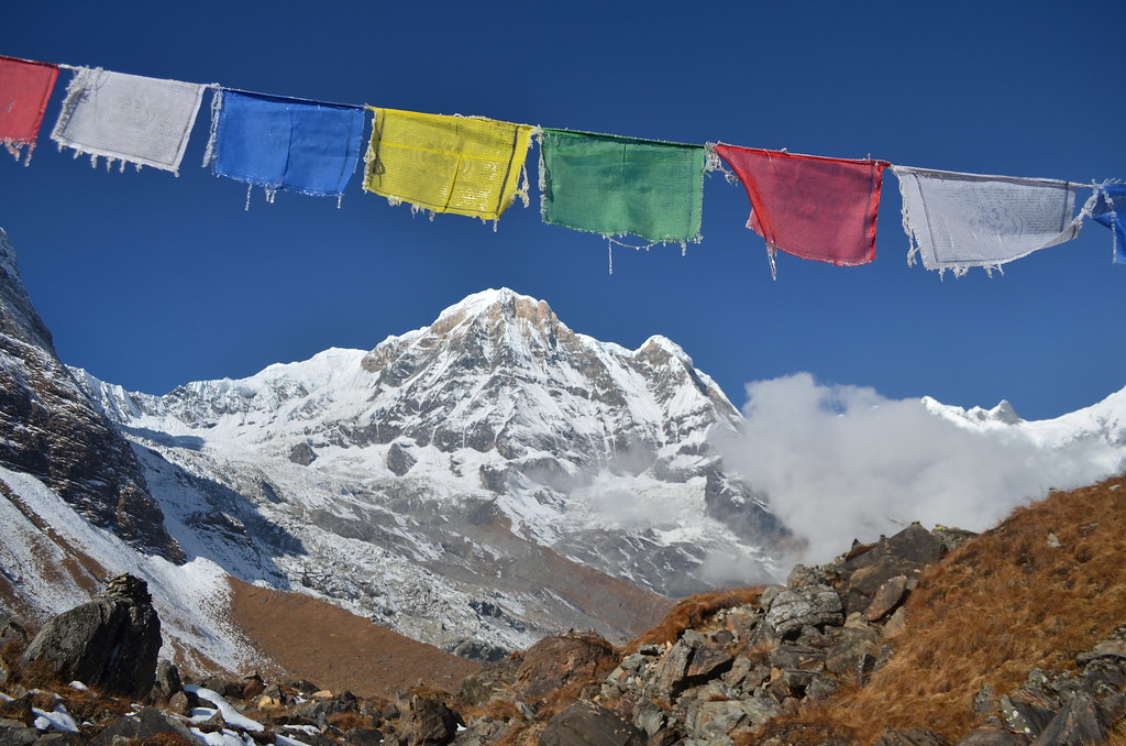
View at Annapurna south, (Dakshin) (7219 m) and Annapurna I (Hiunchuli) (8091 m)
Topographic Map of Sardi Khola, Nepal
Find elevation by address:

Places near Sardi Khola, Nepal:
Nepal
Machhapuchhre Village Inn
Ghachok
Annapurna Mon Village
Kali Gandaki River
Machhapuchchhre
Lwang Ghalel
Lwang
Community Hall Lwang
Mardi Himal Base Camp
Hotel Himalayan Majesty (badal Danda)
Naudanda
Dovan
Bamboo Lodge Restaurant
Dhampus
Lumle
Landruk
Pothana
Guesthouse Namsté - Tolka Nepal
Sapana Lodge, Tolka
Recent Searches:
- Elevation of Corso Fratelli Cairoli, 35, Macerata MC, Italy
- Elevation of Tallevast Rd, Sarasota, FL, USA
- Elevation of 4th St E, Sonoma, CA, USA
- Elevation of Black Hollow Rd, Pennsdale, PA, USA
- Elevation of Oakland Ave, Williamsport, PA, USA
- Elevation of Pedrógão Grande, Portugal
- Elevation of Klee Dr, Martinsburg, WV, USA
- Elevation of Via Roma, Pieranica CR, Italy
- Elevation of Tavkvetili Mountain, Georgia
- Elevation of Hartfords Bluff Cir, Mt Pleasant, SC, USA